The best road cycling routes around Fuente El Olmo De Fuentidueña
4.0
(6)
100
riders
21
rides
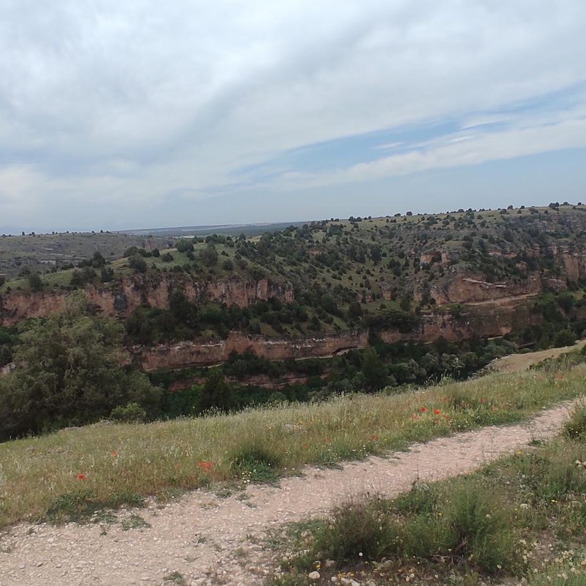
Road cycling routes around Fuente El Olmo De Fuentidueña traverse a landscape characterized by diverse natural features. The region features treelined areas, pine forests, and dramatic cliffs, with the Arroyo de las Redondas stream contributing to the green meadows. Elevation gains vary, offering accessible paths with manageable climbs suitable for different fitness levels. These natural features provide varied terrain for road cyclists.
Best road cycling routes around Fuente El Olmo De Fuentidueña
- The most popular road cycling route is Burgomillodo Dam and Cantalejo Lagoons Loop, a 32.3 miles (51.9 km) trail that takes 2 hours 2 minutes to complete. This route features a moderate elevation gain of 626 feet (191 m).
- Another top favourite among local road cyclists is Castillos de Peñafiel y Fuentidueña, por el Río Duratón — circular desde San Miguel de Bernuy, a moderate 55.6 miles (89.5 km) path. This route includes significant elevation changes and views of the Duratón River.
- Local road cyclists also love the Towns of Tierra de Cuéllar — circular from San Miguel de Bernuy, a 42.3 miles (68.1 km) trail leading through the Tierra de Cuéllar region, often completed in about 2 hours 47 minutes.
- Road cycling around Fuente El Olmo De Fuentidueña is defined by its pine forests, river valleys, and accessible terrain. The network offers options for different ability levels, including easy road bike trails and more moderate routes.
- The routes in Fuente El Olmo De Fuentidueña are highly rated by the komoot community with an average score of 4.3 stars from 5 reviews. More than 90 road cyclists have used komoot to explore Fuente El Olmo De Fuentidueña's varied terrain.
Last updated: November 2, 2026
3.0
(1)
12
riders
51.9km
02:02
190m
190m
Moderate road ride. Good fitness required. Mostly well-paved surfaces and easy to ride.
Moderate road ride. Good fitness required. Mostly well-paved surfaces and easy to ride.

68.1km
02:47
390m
390m
Moderate road ride. Good fitness required. Mostly well-paved surfaces and easy to ride.
10
riders
72.8km
02:54
350m
350m
Moderate road ride. Good fitness required. Mostly well-paved surfaces and easy to ride.
9
riders
62.0km
02:42
570m
570m
Moderate road ride. Good fitness required. Mostly well-paved surfaces and easy to ride.
Get access to more routes and recommendations from other explorers.
Already have an account?
Our route recommendations are based on thousands of hikes, rides, and runs completed by other people on komoot.
Start today with a free account
Your next adventure awaits.

Tips from the Community

Fuentidueña has remains of Romanesque walls, several gates and towers. Among them, the Puerta de Alfonso VIII stands out, part of the remains of the castle that today is in ruins. The castle, located in the upper part of a large walled area, had the function of a fortress and served as a last stronghold in case of attack on the population. 😊🏰
5
0

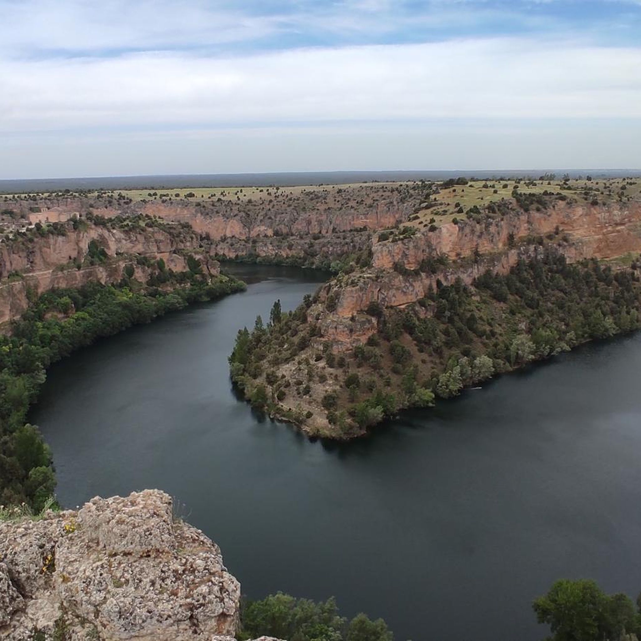
Spectacular view of the Burgomillodo Reservoir Dam. A good place to stop for a coffee or something to eat along the way.
0
0
The small rural town of Carrascal del Río is one of the gateways to the Hoces del Río Duratón Natural Park. The most notable monument of the town in addition to the river landscape is the Church of Our Lady of the Assumption. You can rest in the shade of the trees next to the church.
0
0
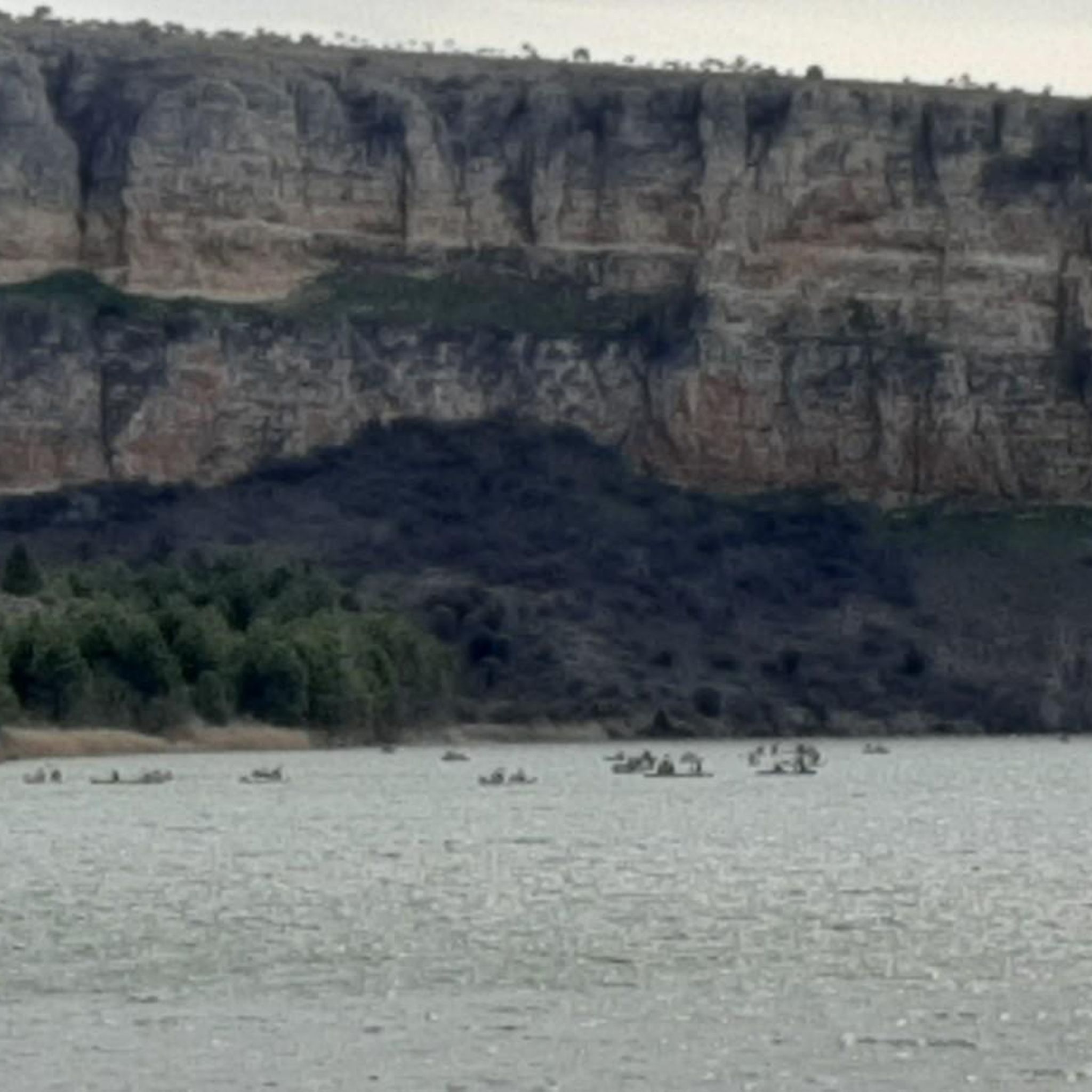
If you like river sports and adventure, the small town of San Miguel de Bernuy is your place. A great place to explore the Duraton River by bike and on the water.
0
0
This area is a bird lover's paradise in spring after the wet season rains. The Cantalejo Lagoons are home to many migratory and local birds.
0
0
Cantalejo, one of the gateways to the Hoces del Río Duratón Natural Park, is a good place to make a stop during the trip. Have a coffee in Plaza España or eat something small.
0
0

The 17th century church of San Andrés is located in the Plaza de España, the central point of the town of Cantalejo, declared a Site of Cultural Interest in 1995. Right next to it there is a water fountain.
2
0

Peñafiel Castle, located in the province of Valladolid, is an imposing fortress built in the 10th century, although it was the interventions that took place between the 14th and 15th centuries that gave it its current appearance. It stands out for its privileged location on top of a hill, offering panoramic views of the Ribera del Duero wine region. With its thick stone walls and its keep, the castle is a fascinating testimony to medieval architecture and houses the Provincial Wine Museum, which shows the wine-growing importance of the area.
1
0
Frequently Asked Questions
How many road cycling routes are available around Fuente El Olmo De Fuentidueña?
There are over 20 road cycling routes in the Fuente El Olmo De Fuentidueña area, offering a variety of distances and elevation profiles for cyclists.
What kind of terrain can I expect on road cycling routes in this region?
The region offers diverse terrain, characterized by picturesque pine forests and dramatic cliffs. You'll also find routes traversing treelined areas and green meadows, often alongside the Arroyo de las Redondas stream. Many routes feature accessible paths with manageable elevation gains.
Are there routes suitable for beginners or those looking for an easier ride?
Yes, Fuente El Olmo De Fuentidueña offers options for various skill levels. While most routes are moderate, there are 2 easy road bike trails available, providing accessible paths with less demanding elevation gains.
Can I find circular road cycling routes in Fuente El Olmo De Fuentidueña?
Yes, many road cycling routes in the area are circular. For example, the Burgomillodo Dam and Cantalejo Lagoons Loop and the Towns of Tierra de Cuéllar — circular from San Miguel de Bernuy are popular circular options.
What natural attractions or viewpoints can I see along the road cycling routes?
Cyclists can enjoy stunning natural beauty, including views of the Duratón River, especially on routes like Castillos de Peñafiel y Fuentidueña, por el Río Duratón. The nearby Hoces del Río Duratón Natural Park and the Serranilla Reservoir (Las Vencías) also offer scenic vistas. You might also spot vulture nests from certain viewpoints.
Are there any historical or cultural landmarks to explore near the cycling paths?
Absolutely. The region is rich in history. You can find a small Roman stone bridge within the urban area, and the Romanesque Church of San Pedro. Notable nearby attractions include the Ermita de San Frutos, the Castle and village of Fuentidueña, and the settlement of Sacramenia.
What is the best time of year for road cycling in Fuente El Olmo De Fuentidueña?
The Mediterranean climate in Fuente El Olmo De Fuentidueña offers generally cool summers, making it a pleasant time for road cycling. Spring and autumn also provide comfortable temperatures and beautiful scenery for rides.
What do other cyclists say about road cycling in Fuente El Olmo De Fuentidueña?
The area is highly rated by the komoot community, with an average score of 4.3 stars from 5 reviews. Cyclists often praise the varied terrain, the scenic pine forests, and the accessible routes suitable for different ability levels.
Are there any routes that feature significant elevation changes for a more challenging ride?
Yes, some routes offer more significant elevation changes. For instance, the Castillos de Peñafiel y Fuentidueña, por el Río Duratón route includes substantial climbs and descents, providing a more demanding experience.
Where can I find refreshments or places to stop along the routes?
While specific cafes on every route are not detailed, the region includes several towns and villages like Sacramenia and Fuentidueña, which offer opportunities for refreshments, pubs, or accommodation. Planning your route to pass through these settlements can ensure convenient stops.
Is there parking available for cyclists in Fuente El Olmo De Fuentidueña?
Yes, Fuente El Olmo De Fuentidueña and surrounding towns typically offer public parking options suitable for cyclists. It's advisable to check specific starting points of routes for the most convenient parking facilities.
Are there any long-distance road cycling options in the area?
For those seeking longer rides, routes like Castillos de Peñafiel y Fuentidueña, por el Río Duratón cover approximately 55.6 miles (89.5 km), offering an extended cycling experience through the scenic landscape.
Most popular routes around Fuente El Olmo De Fuentidueña
Most popular attractions around Fuente El Olmo De Fuentidueña

Get inspired with the komoot mobile app


Explore more
Browse the best Road cycling routes in other regions.
