The best road cycling routes around Büdingen
4.6
(1069)
11,600
riders
20
rides
Road cycling around Büdingen offers a network of routes through the Wetteraukreis region, characterized by rolling agricultural landscapes, historical towns, and sections alongside natural areas. The terrain generally features gentle gradients, with some moderate climbs, making it suitable for various fitness levels. Many routes traverse open fields, including areas with sunflower fields, and pass by historical sites such as Ronneburg Castle. The region provides a mix of quiet country roads and paths connecting local communities.
Best road cycling routes around…
Last updated: October 4, 2026
4.6
(19)
51
riders
22.8km
00:57
150m
150m
Easy road ride. Great for any fitness level. Mostly well-paved surfaces and easy to ride.
4.5
(2)
24
riders
Moderate road ride. Great for any fitness level. Some segments of this route may be unpaved and difficult to ride.

5.0
(1)
25
riders
37.0km
01:29
140m
140m
Easy road ride. Great for any fitness level. Mostly well-paved surfaces and easy to ride.
4.2
(22)
23
riders
Easy road ride. Great for any fitness level. Mostly well-paved surfaces and easy to ride.
1.0
(1)
14
riders
20.5km
01:01
220m
220m
Easy road ride. Great for any fitness level. Mostly well-paved surfaces and easy to ride.
Get access to more routes and recommendations from other explorers.
Already have an account?
Our route recommendations are based on thousands of hikes, rides, and runs completed by other people on komoot.
Start today with a free account
Your next adventure awaits.
Popular around Büdingen
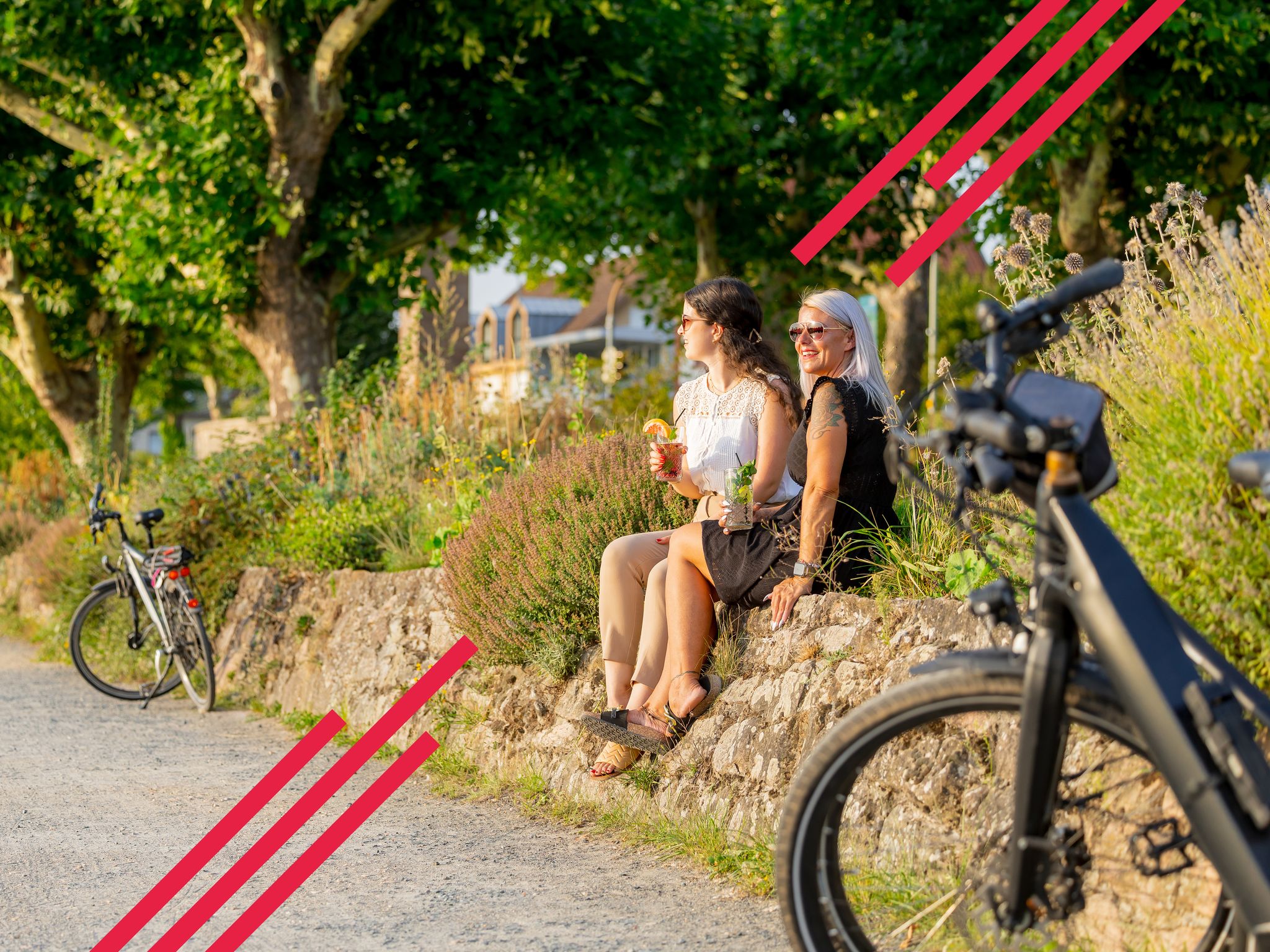
Changing habitats – themed cycling in FrankfurtRheinMain

Varied winter hikes in Germany’s Rhine-Main region
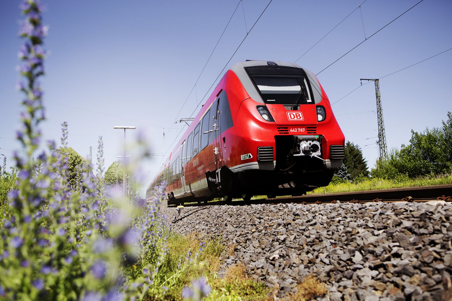
Into the countryside! — hike with Germany’s Rhine-Main Transport Network
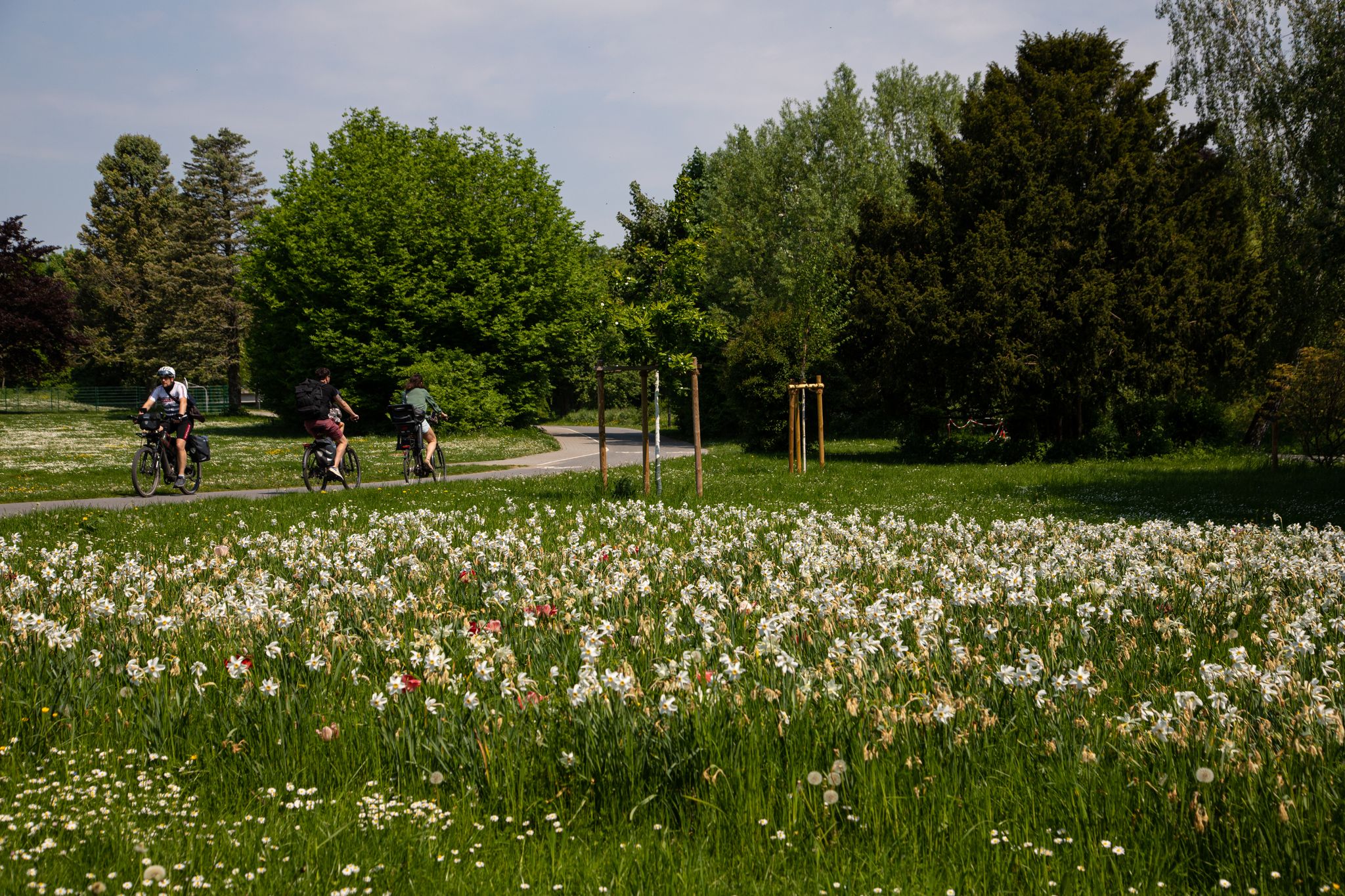
Bad Vilbel entdecken – Vielfältige Radtouren
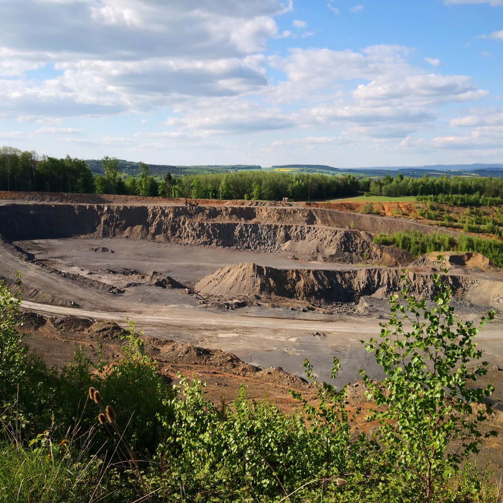
Cycling around Büdingen
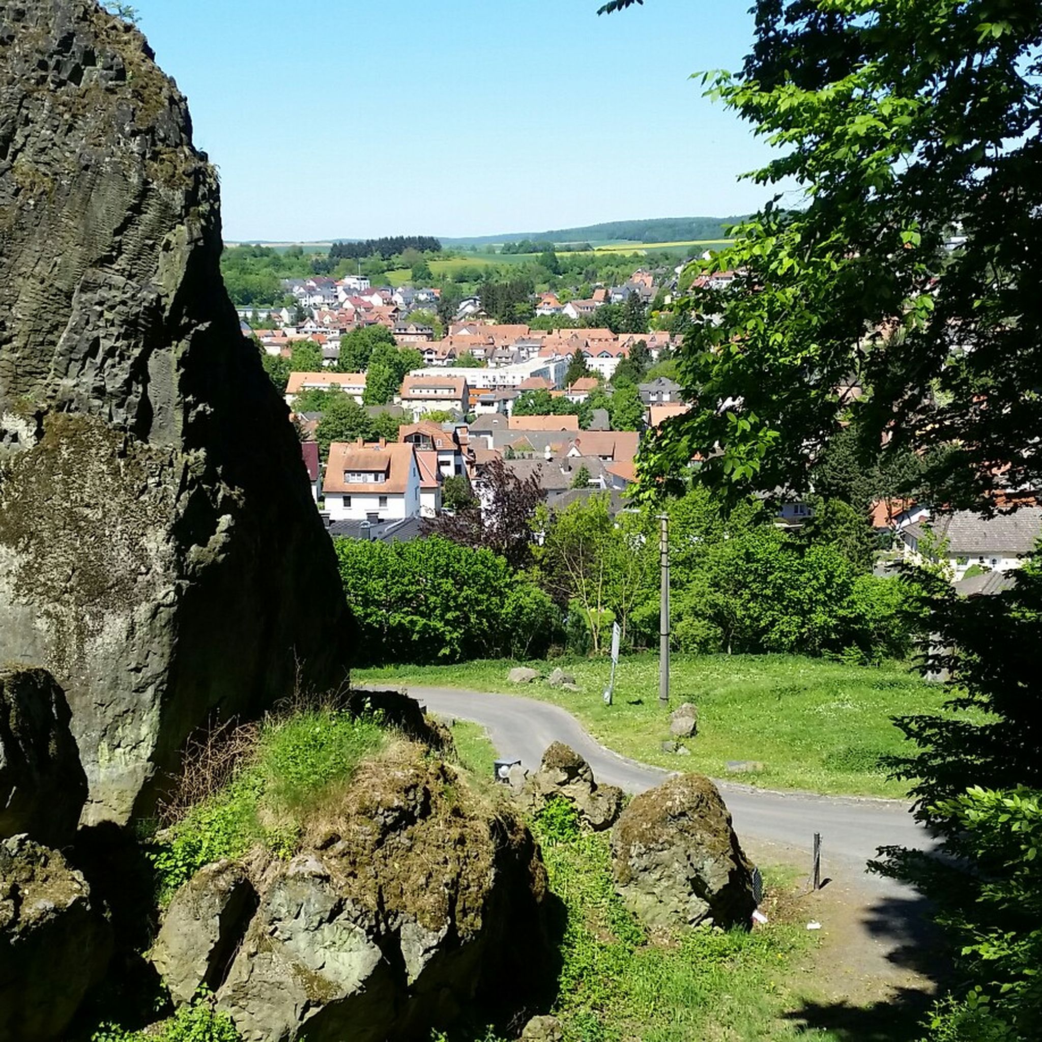
Hiking around Büdingen
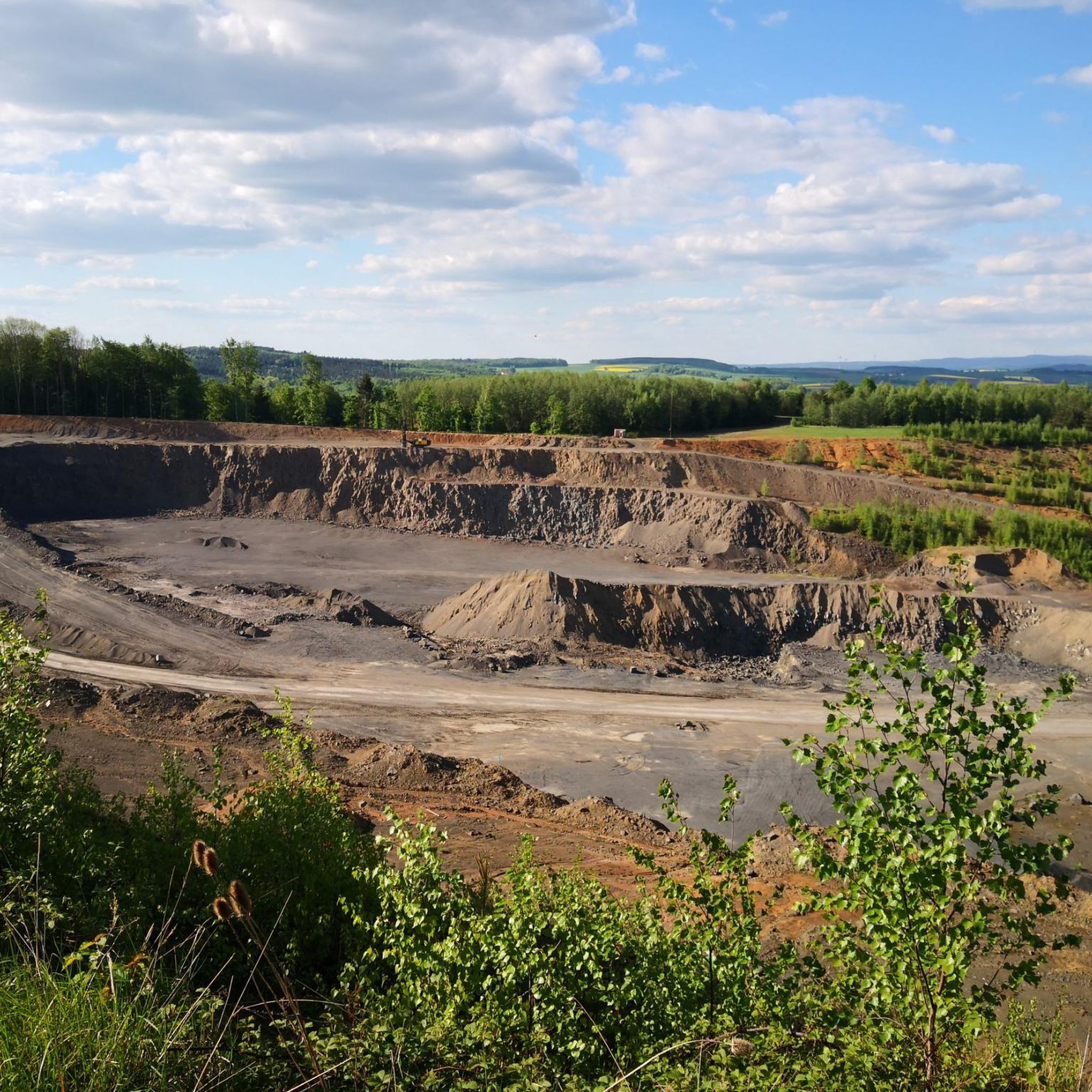
MTB Trails around Büdingen
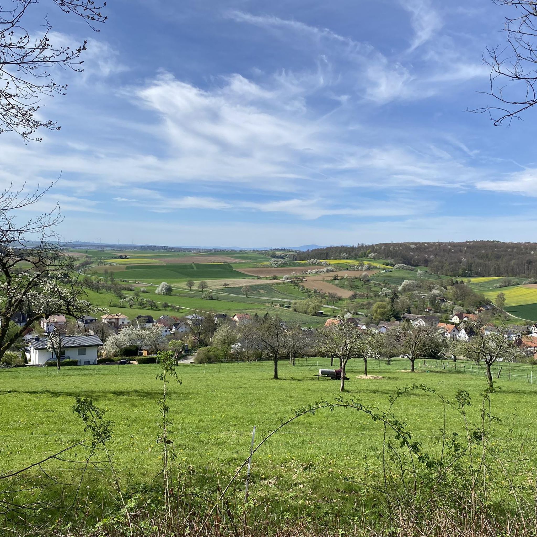
Running Trails around Büdingen
Gravel biking around Büdingen
Other adventures around Büdingen


Tips from the Community

Gentle hills, extensive meadows and damp pastures – with over 220 hectares, the nature reserve "Im Rußland und in der Kuhweide bei Lindheim" is the largest nature reserve in the Wetteraukreis district. The Lindheim NABU group has been looking after the area since 1973. The Great Curlew has one of its last remaining populations here in all of Hesse, and the White Stork, Corn Crake, and Greylag Goose also find protection in the created small bodies of water and renatured sections.
1
0
Not far from Düdelsheim, the view opens up over the rolling hills and lush meadows of the Wetterau. From here, you have a beautiful view of the distinctive Glauberg. In 1988, local historians discovered the contours of a burial mound during a flight over the south slope. Systematic excavations subsequently uncovered an almost completely preserved stone figure of a warrior, 1.86 meters tall, as well as richly equipped graves of Celtic warriors from the 5th century. These are now considered the most significant finds of the La Tène culture. Among them is "Dudilesheim", first documented in 792 AD, today Düdelsheim.
1
0

The water point is highly recommended! There is another option to refill drinking water in Büdingen: This is located in the market square. However, the old town in Büdingen is busy and paved with cobblestones.
0
0

Towards Altenstadt, there are mostly shards everywhere here.
0
0

Drinking water fountain on the market square in Büdingen. You don't need to worry about the sense or nonsense of the costs.
0
0

The former Evangelical Lutheran church in Büdingen, built between 1770 and 1774, is located in Schlossgasse and is a Neoclassical hall church. Büdingen's fortifications, with their imposing walls and towers, date back to around 1500 and were constructed by Landgrave Ludwig II of Ysenburg-Büdingen. They never faced a serious attack, thus preserving the unique and harmonious urban ensemble of the old town and its fortifications.
2
0
The Schlaghaus in Büdingen, dating from around 1300, is a late medieval gatehouse. Originally, the Schlaghaus, located on the most vulnerable southern side of the old town on the opposite bank of the Seemenbach stream, was the counterpart to the high mill gate and connected by a drawbridge. Security was provided by a gate complex with a bridge, bars, a drawbridge, and a barrier.
1
0
The Mühltor Bridge in Büdingen was a wooden bridge in 1353. Before that, the first access to the old town was the ford across the Seemenbach at the Mehlpforte (Mead Gate).
1
0
Frequently Asked Questions
What is the overall character of road cycling routes around Büdingen?
The region around Büdingen offers a mix of rolling agricultural landscapes, historical towns, and natural areas. You'll find routes with gentle gradients and some moderate climbs, primarily on quiet country roads and paths connecting local communities.
Are there many easy road cycling routes suitable for beginners in Büdingen?
Yes, Büdingen has a good selection of easy routes. Out of 22 total road cycling routes, 7 are classified as easy. An example is the View of Ronneburg Castle – Herrnhag Estate loop from Vonhausen, which is 14.2 miles (22.9 km) long.
Can I find challenging road cycling routes with significant climbs near Büdingen?
While the terrain generally features gentle gradients, there are some routes with more moderate climbs. Out of the 22 routes, 4 are categorized as difficult, offering more elevation gain for experienced cyclists.
Are there circular road cycling routes around Büdingen?
Many of the road cycling routes in the Büdingen area are designed as loops. For instance, the Jerusalemer Tor Büdingen – Gelnhausen Town Hall loop from Büdingen (Oberhess) is a moderate 32.5 miles (52.2 km) circular path.
What kind of scenic views can I expect on road cycling routes in Büdingen?
You can expect diverse scenery, including open fields, often with sunflower fields in season, and views of historical landmarks. The View of Ronneburg Castle – Herrnhag Estate loop from Vonhausen offers direct views of Ronneburg Castle, and the Altenstadt station – Bench by the Sunflower Fields loop from Büches-Düdelsheim takes you through agricultural areas.
Are there road cycling routes that avoid heavy traffic?
The routes around Büdingen largely utilize quiet country roads and paths, making them suitable for cyclists looking to avoid heavy traffic and enjoy a more peaceful ride through the landscape.
What historical sites or attractions can I see while road cycling near Büdingen?
The region is rich in historical sites. You can pass by or near landmarks such as Ronneburg Castle, the Büdingen Old Town, and the Gelnhausen Old Town and Imperial Palace. The Jerusalemer Tor Büdingen – Gelnhausen Town Hall loop specifically connects several historical points.
Are there any longer distance road cycling routes starting from Büdingen?
Yes, there are routes suitable for longer rides. The Jerusalemer Tor Büdingen – Gelnhausen Town Hall loop from Büdingen (Oberhess) is a moderate 32.5 miles (52.2 km) route, offering a substantial distance for a day trip.
What do other road cyclists say about the routes in Büdingen?
The road cycling routes in Büdingen are highly rated by the komoot community, with an average score of 4.2 stars from over 50 reviews. Cyclists often appreciate the varied terrain, from open fields to historical towns, and the well-maintained paths.
Are there routes that pass through natural areas or bird sanctuaries?
Yes, some routes traverse natural areas. For example, the Altenstadt station – EU bird sanctuary loop from Büdingen (Oberhess) is an easy 38.9 km route that takes you through an EU bird sanctuary.
What is the best season for road biking in the Büdingen area?
The region's agricultural landscapes, including sunflower fields, suggest that late spring through early autumn offers pleasant conditions for road cycling, with vibrant scenery and generally favorable weather.
Most popular routes around Büdingen
Most popular attractions around Büdingen

Get inspired with the komoot mobile app


Explore more
Browse the best Road cycling routes in other regions.
