The best cycling routes around Park Krajobrazowy Doliny Bobru
4.4
(76)
494
riders
58
rides
Touring cycling routes around Park Krajobrazowy Doliny Bobru traverse a landscape shaped by the Bóbr River, featuring significant water bodies like the Pilchowice Dam and Wrzeszczyńskie Lake. The region includes varied terrain, from river valleys to areas with moderate elevation changes, suitable for different cycling abilities. This natural park offers routes that explore both natural features and historical points of interest, often following the river's course.
Best touring cycling routes around Park Krajobrazowy Doliny Bobru
- The most popular touring cycling…
Last updated: November 15, 2026
4.6
(8)
35
riders
18.6km
01:25
300m
300m
Moderate bike ride. Good fitness required. Mostly paved surfaces.
4.6
(8)
45
riders
Moderate bike ride. Good fitness required. Mostly paved surfaces.

4.6
(5)
42
riders
Moderate bike ride. Good fitness required. Mostly paved surfaces.
4.3
(4)
24
riders
35.8km
02:28
420m
420m
Moderate bike ride. Good fitness required. Mostly paved surfaces.
4.8
(5)
26
riders
28.4km
02:16
570m
570m
Hard bike ride. Very good fitness required. Mostly paved surfaces.
Get access to more routes and recommendations from other explorers.
Already have an account?
Our route recommendations are based on thousands of hikes, rides, and runs completed by other people on komoot.
Start today with a free account
Your next adventure awaits.
Popular around Park Krajobrazowy Doliny Bobru
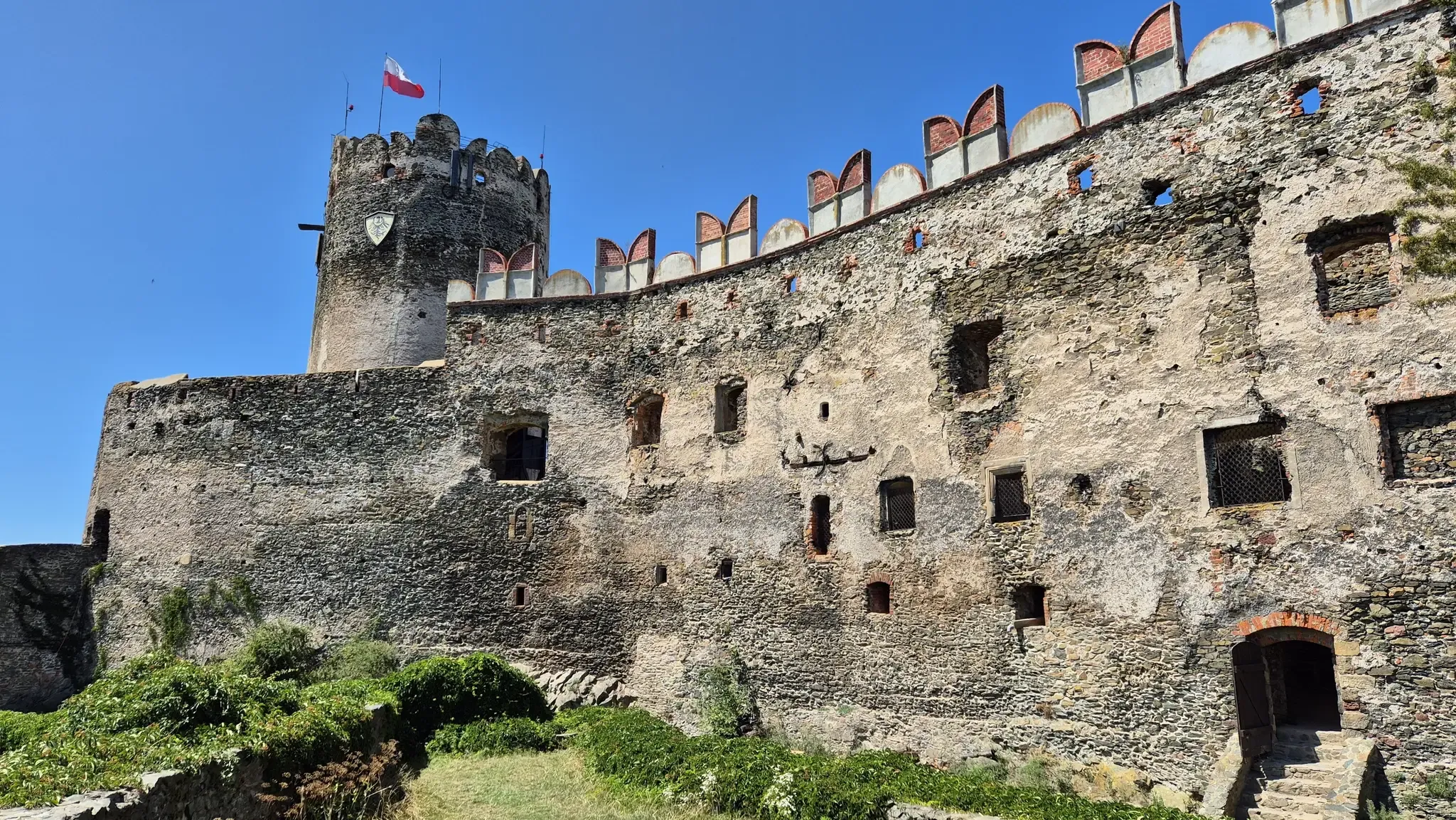
Piast Castles Trail – Great strongholds of Sudety
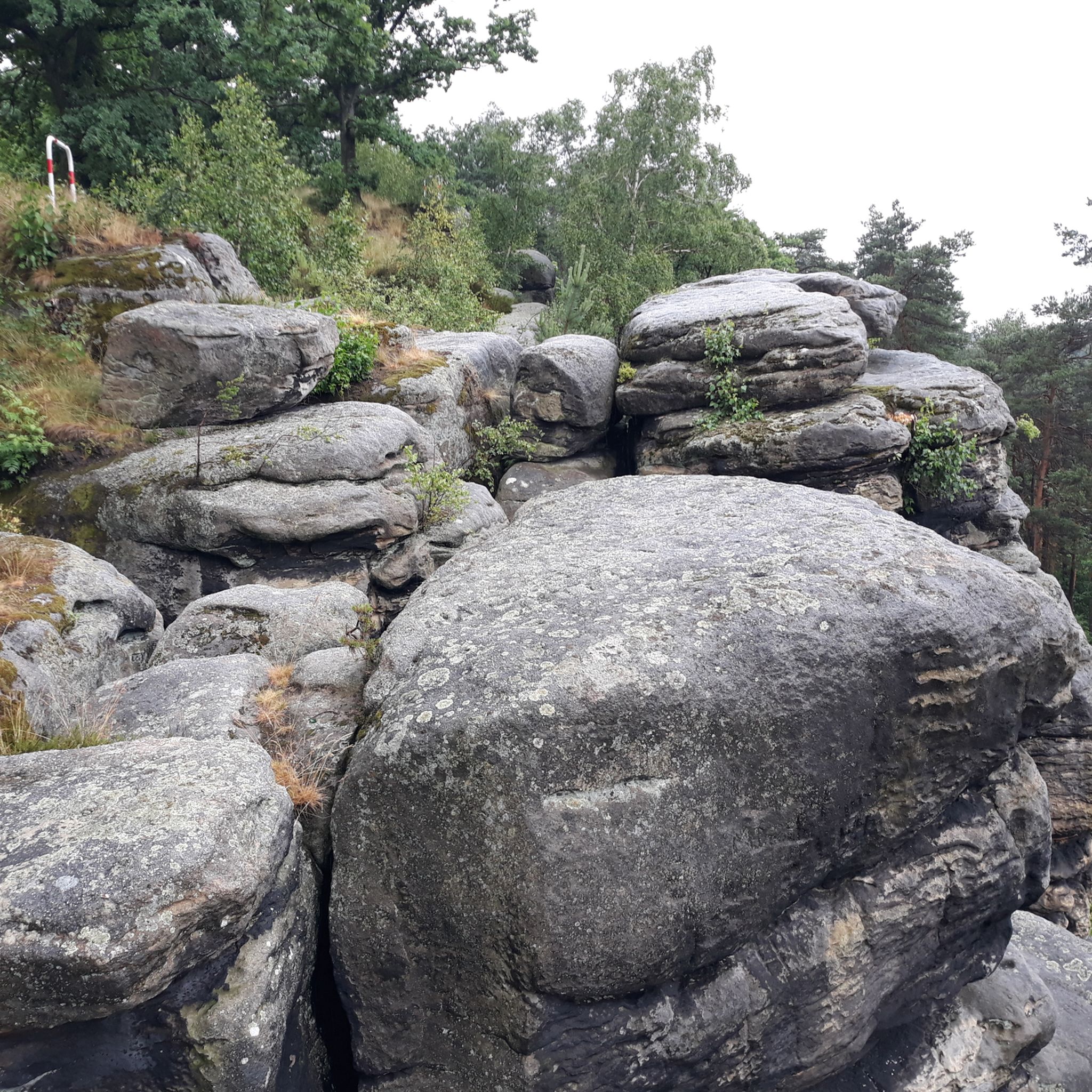
Hiking around Park Krajobrazowy Doliny Bobru
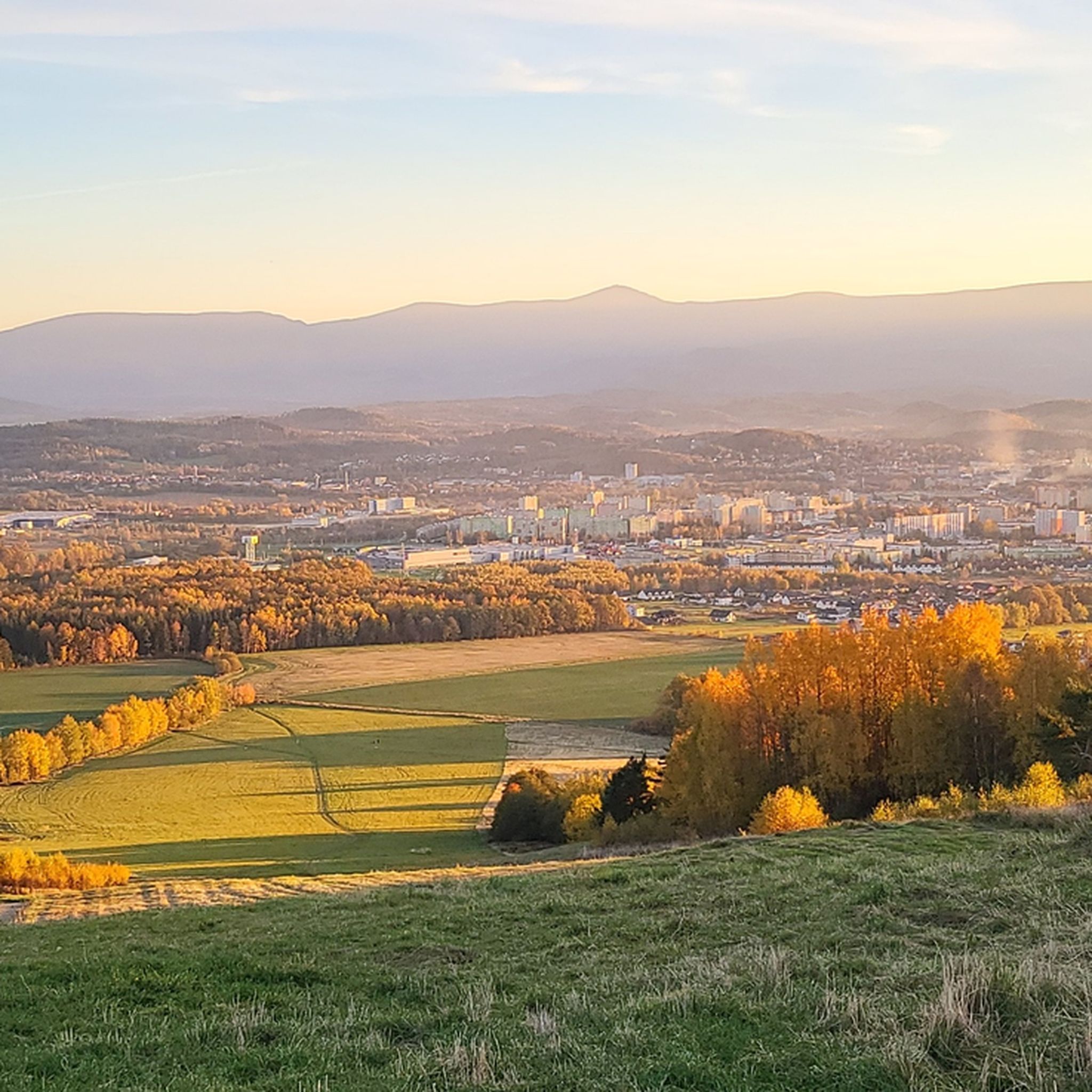
MTB Trails around Park Krajobrazowy Doliny Bobru
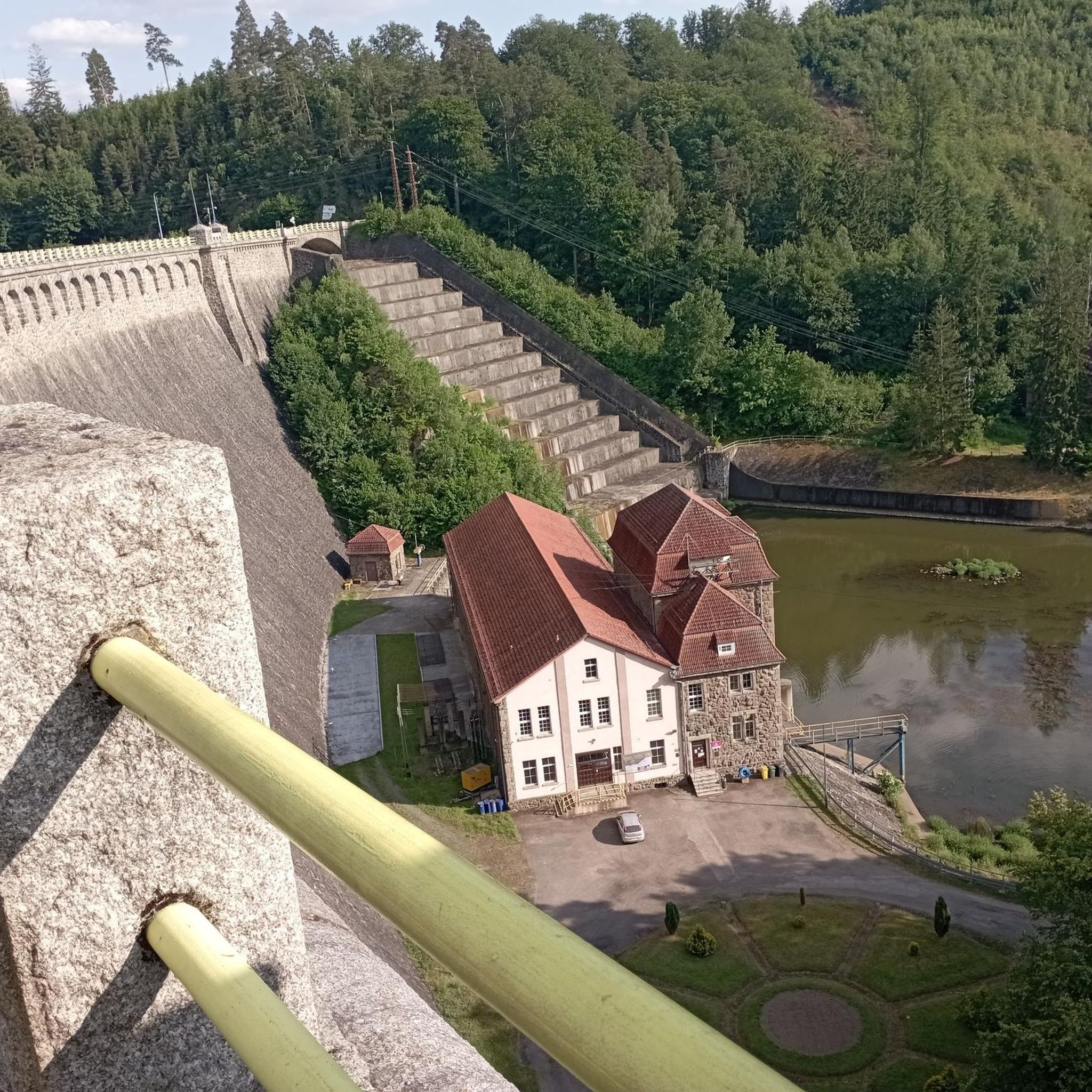
Road Cycling Routes around Park Krajobrazowy Doliny Bobru

Gravel biking around Park Krajobrazowy Doliny Bobru
Running Trails around Park Krajobrazowy Doliny Bobru

Mountain Hikes around Park Krajobrazowy Doliny Bobru
Other adventures around Park Krajobrazowy Doliny Bobru

Tips from the Community

Town Hall in Wleń – a classicist building erected in the years 1823–1824 in the middle of the Wleń market square. It is currently the seat of the municipal authorities of Wleń.
0
0


📍 Location The chapel is located on St. Anne's Hill (Wzgórze św. Anny) in the Sobieszów district, south of the city center. Surrounded by forests and hiking trails – ideal for spiritual walks. Nearby: Ruins of Chojnik Castle Karkonosze National Park Panoramic view of the Jelenia Góra Valley 🎨 Architecture & Features Exterior: Rectangular building with a gable roof, small turret with a bell. Interior: Baroque altar with a statue of St. Anne Simple benches and wood paneling Votive offerings and small mementos from pilgrims 🕊️ Spiritual Atmosphere The chapel is a place of silence and contemplation – popular with hikers, believers, and history buffs. Often a destination for May devotions, rosary prayers, and family visits. Associated with local legends of protection and healing.
0
0
The historic tram in Jelenia Góra was a significant part of the city's infrastructure and a symbol of the region's technological development. Here's a brief overview of its history and significance: 🚋 Origins & Development Opening: On April 10, 1897, operations began with gas-powered trams between the main station and Herischdorf (now Malinnik). Electrification: The line was electrified as early as 1900, with sections to Cieplice (Bad Warmbrunn) and later to Podgórzyn Górny. Gauge: Originally 1435 mm (standard gauge), later converted to 1000 mm to better manage the tight curves and gradients of the old town. 🗺️ Route map Urban lines: Main Station – Plac Ratuszowy – Zajezdnia (Depot) Main Station – Plac Ratuszowy – Koszary (Barracks) Interurban lines: Jelenia Góra – Cieplice – Sobieszów Cieplice – Podgórzyn – Podgórzyn Górny The maximum network length was 19.2 km – one of the longest tram routes in Lower Silesia. 📉 End of service Decommissioning: Starting in the 1950s, lines were gradually closed. Last day of operation: The last tram ran on April 28, 1969 – the farewell was ceremonial and free for all passengers. 🏛️ Memories & Traces No preserved vehicles remain in the cityscape, but: Photos and documents in the Karkonosze Museum Remnants of the track and former curved tracks are still visible in Cieplice and along ul. Bankowa Street names and stop names recall the route
0
0

Very nice arcades with restaurants
1
0

A great place to relax. Easy access from both directions. Good views of the bridge over the Bóbr River and the dam.
0
0

There is a charging station for electric bikes
0
0

!!!DANGER!!! Please DO NOT walk the last part of the trail along the country road. It's extremely narrow and dangerous. Please DO NOT stray from the trail. Guard dogs will attack. Paths are blocked by electric fences.
2
0
Frequently Asked Questions
How many touring cycling routes are available in Park Krajobrazowy Doliny Bobru?
There are nearly 50 touring cycling routes recorded in Park Krajobrazowy Doliny Bobru on komoot, offering a wide range of options for different skill levels and preferences.
Are there any easy touring cycling routes suitable for beginners or families?
Yes, the region offers a few easier routes. For a more relaxed ride, consider the Pilchowicka Dam – Pilchowice Dam loop from Wrzeszczyn, which is a moderate 19 km path circling the Pilchowice Dam area. While there are no explicitly 'easy' routes listed, many moderate routes can be enjoyed by those with basic cycling fitness.
What kind of terrain can I expect on touring cycling routes in Park Krajobrazowy Doliny Bobru?
The terrain in Park Krajobrazowy Doliny Bobru is diverse, featuring river valleys, dam reservoirs, and forested sections. You'll encounter areas with moderate elevation changes, especially around the Bóbr River and its tributaries, as well as flatter sections. Many routes incorporate historical railway bridges and follow the river's course.
Are there any circular touring cycling routes in the area?
Yes, many routes in Park Krajobrazowy Doliny Bobru are designed as loops. For example, the challenging Pilchowice Dam – Wrzeszczyńskie Lake loop from Radomice offers extensive views, while the moderate Wrzeszczyńskie Lake – Bóbr River loop from Wieża Książęca w Siedlęcinie provides a scenic ride along the river.
What are some scenic viewpoints or natural attractions I can visit along the routes?
The region is rich in natural beauty. You can enjoy views of the Pilchowice Dam and Wrzeszczyńskie Lake on several routes. For specific natural highlights, look for the Wild Waterfall or the unique rock formations like Lwówek Rocks and Lwóweckie Skały.
Are there any historical or cultural landmarks to explore while cycling?
Absolutely. The area features several points of historical interest. You might pass by the Łupki Palace, the ruins of Wleń Castle, or the Perła Zachodu Mountain Lodge, which offers stunning views and a place to rest. Many routes also incorporate historical railway bridges.
What is the best season for touring cycling in Park Krajobrazowy Doliny Bobru?
While cycling is possible year-round, spring, summer, and early autumn generally offer the most pleasant conditions for touring cycling in Park Krajobrazowy Doliny Bobru. During these seasons, the weather is typically mild, and the natural scenery is at its most vibrant. Always check local weather forecasts before heading out.
What do other touring cyclists say about the routes in Park Krajobrazowy Doliny Bobru?
The touring cycling routes in Park Krajobrazowy Doliny Bobru are highly rated by the komoot community, with an average score of 4.6 stars from nearly 100 reviews. Cyclists often praise the diverse landscape, the scenic views of the Bóbr River and its dams, and the variety of routes suitable for different abilities.
Are there any challenging routes for experienced touring cyclists?
Yes, experienced cyclists will find several challenging options. The Pilchowice Dam – Wrzeszczyńskie Lake loop from Radomice is a difficult 40.9 km route with significant elevation gain, offering a demanding yet rewarding experience with extensive views.
Can I combine touring cycling with other activities, like visiting a town?
Certainly. Some routes, like the Market Square in Jelenia Góra – Pilchowice Dam loop from gmina Wleń, start or pass through towns, allowing you to explore local attractions, cafes, or restaurants before or after your ride. Jelenia Góra, for instance, offers historical architecture and amenities.
Are there any routes that focus on the Pilchowice Dam area?
Yes, the Pilchowice Dam is a central feature of many routes. The Pilchowice Dam – Pilichowice Railway Bridge loop from Pałac Maciejowiec is a moderate 21.3 km route that specifically highlights this impressive structure and the surrounding landscape, including the historic railway bridge.
What should I consider regarding parking and access points for these routes?
Many routes start from villages or towns within or near the park, such as Radomice, Wrzeszczyn, or gmina Wleń, where parking facilities are generally available. It's advisable to check the specific route details on komoot for recommended starting points and parking information.
Most popular routes around Park Krajobrazowy Doliny Bobru
Most popular attractions around Park Krajobrazowy Doliny Bobru

Get inspired with the komoot mobile app


Explore more
Browse the best Cycling routes in other regions.
