The best walks and hikes around Tíjola
4.4
(24)
123
hikers
27
hikes
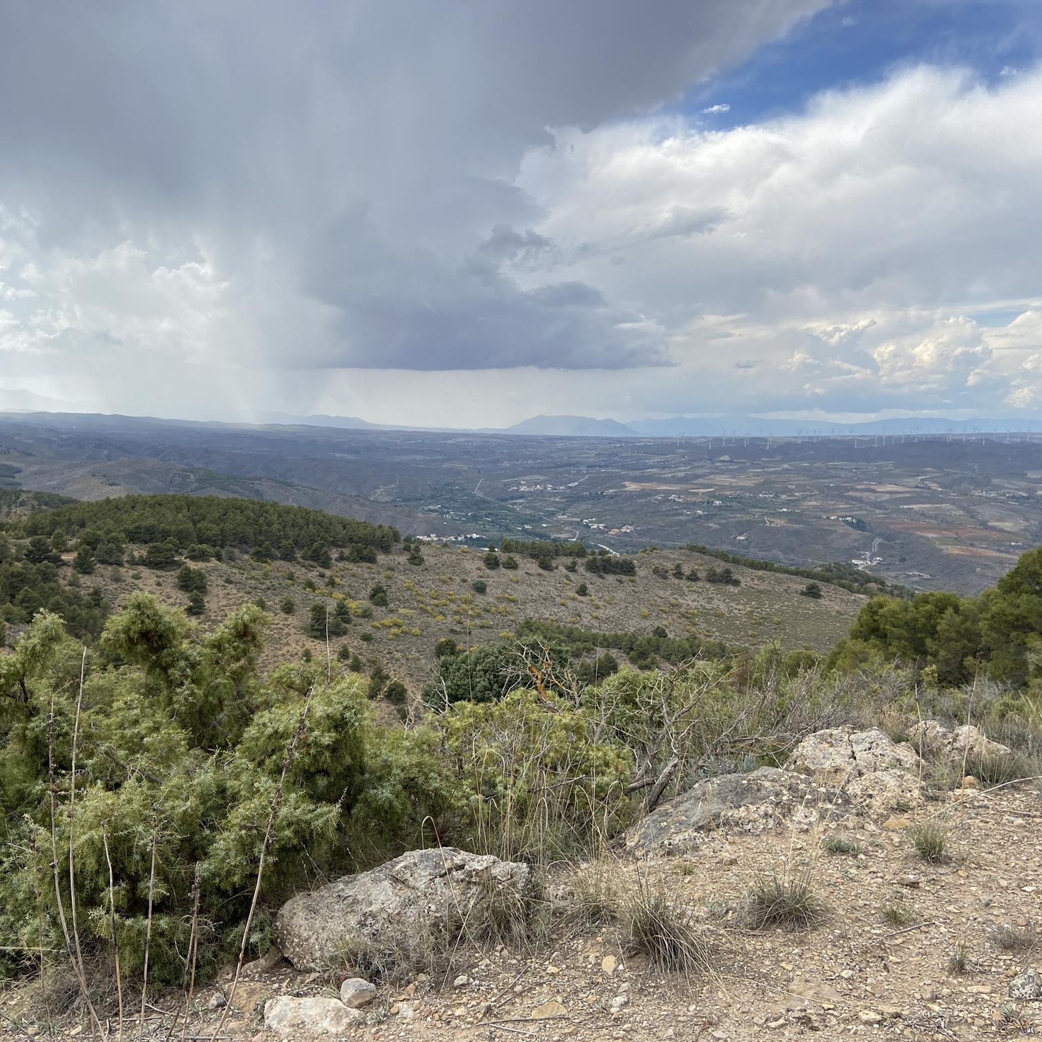
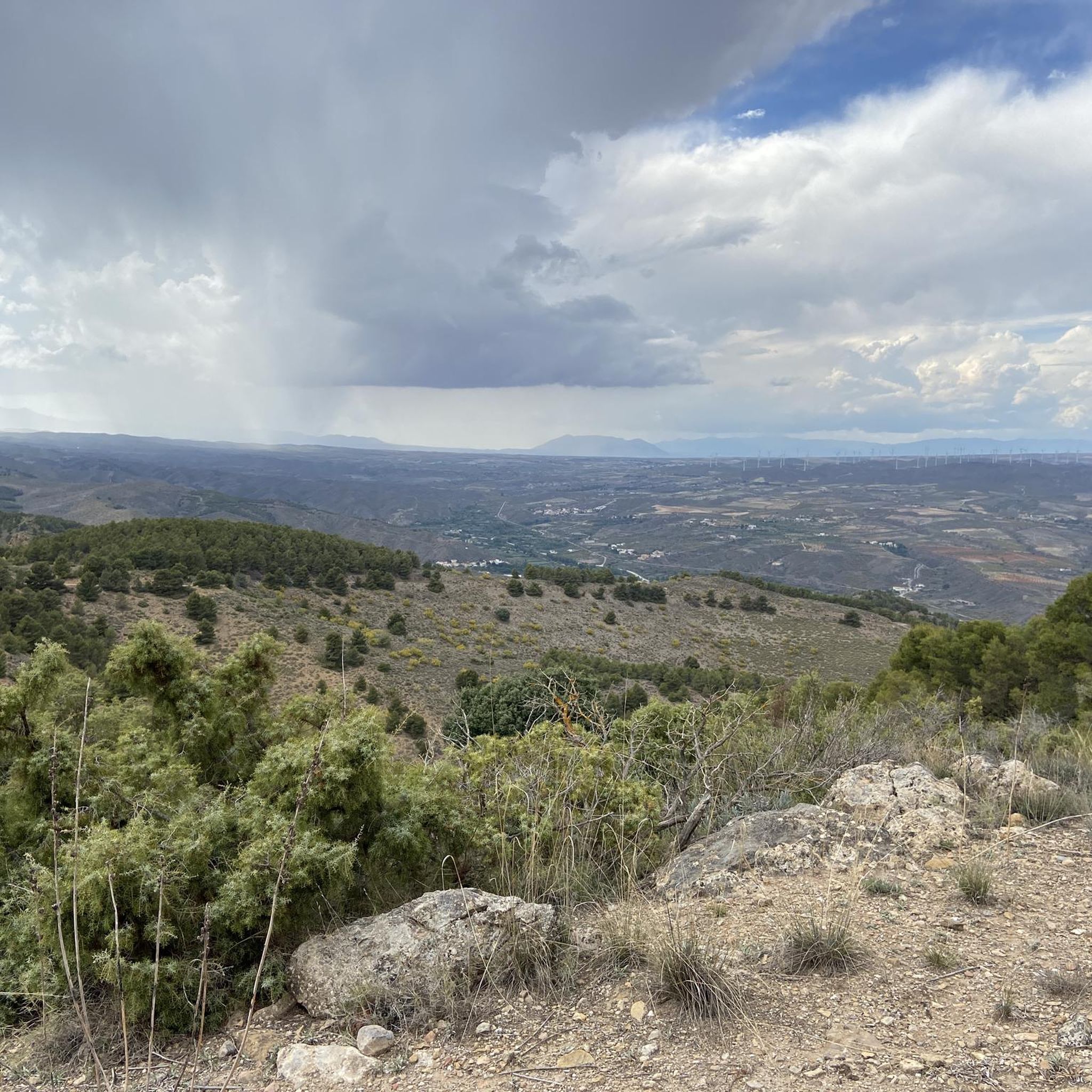
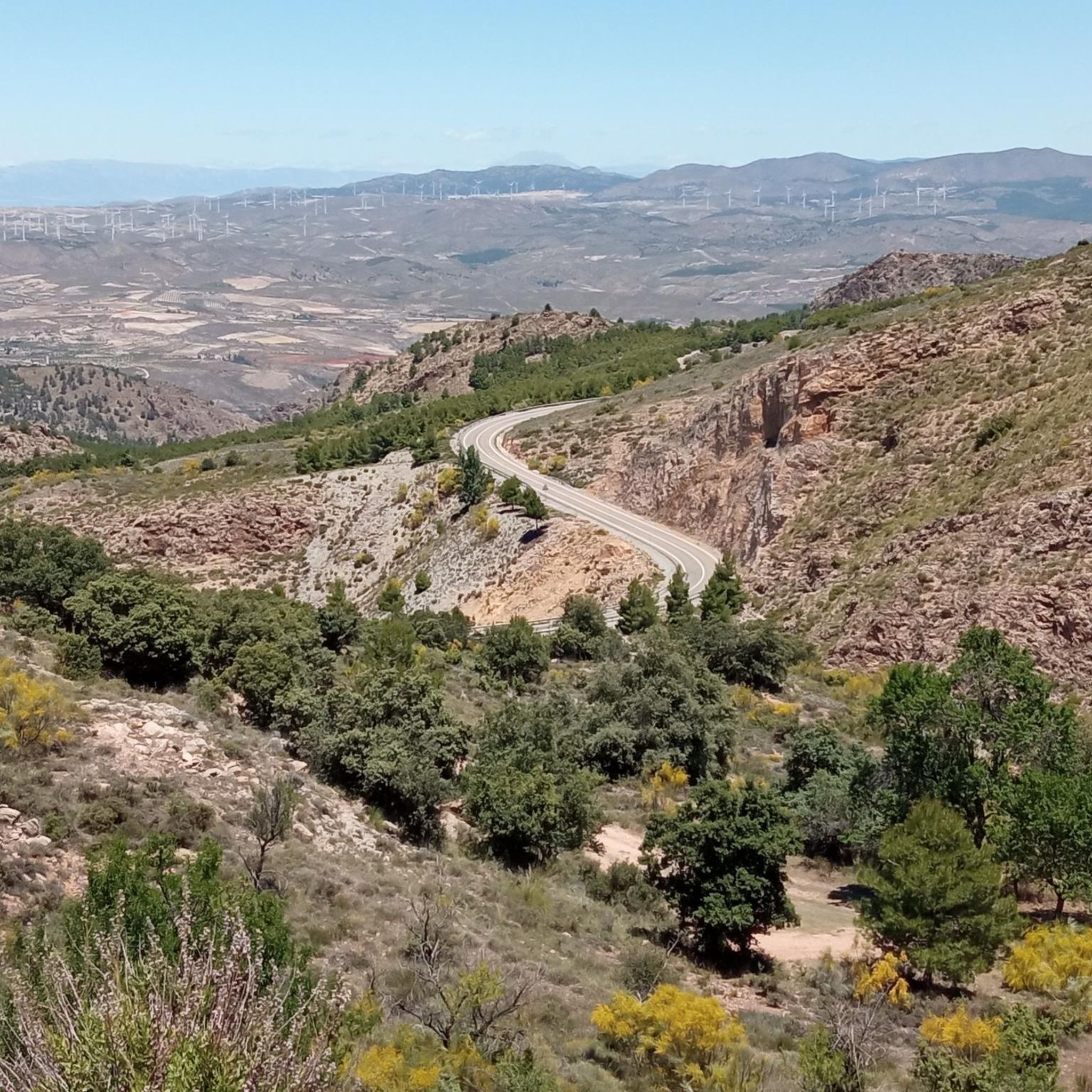
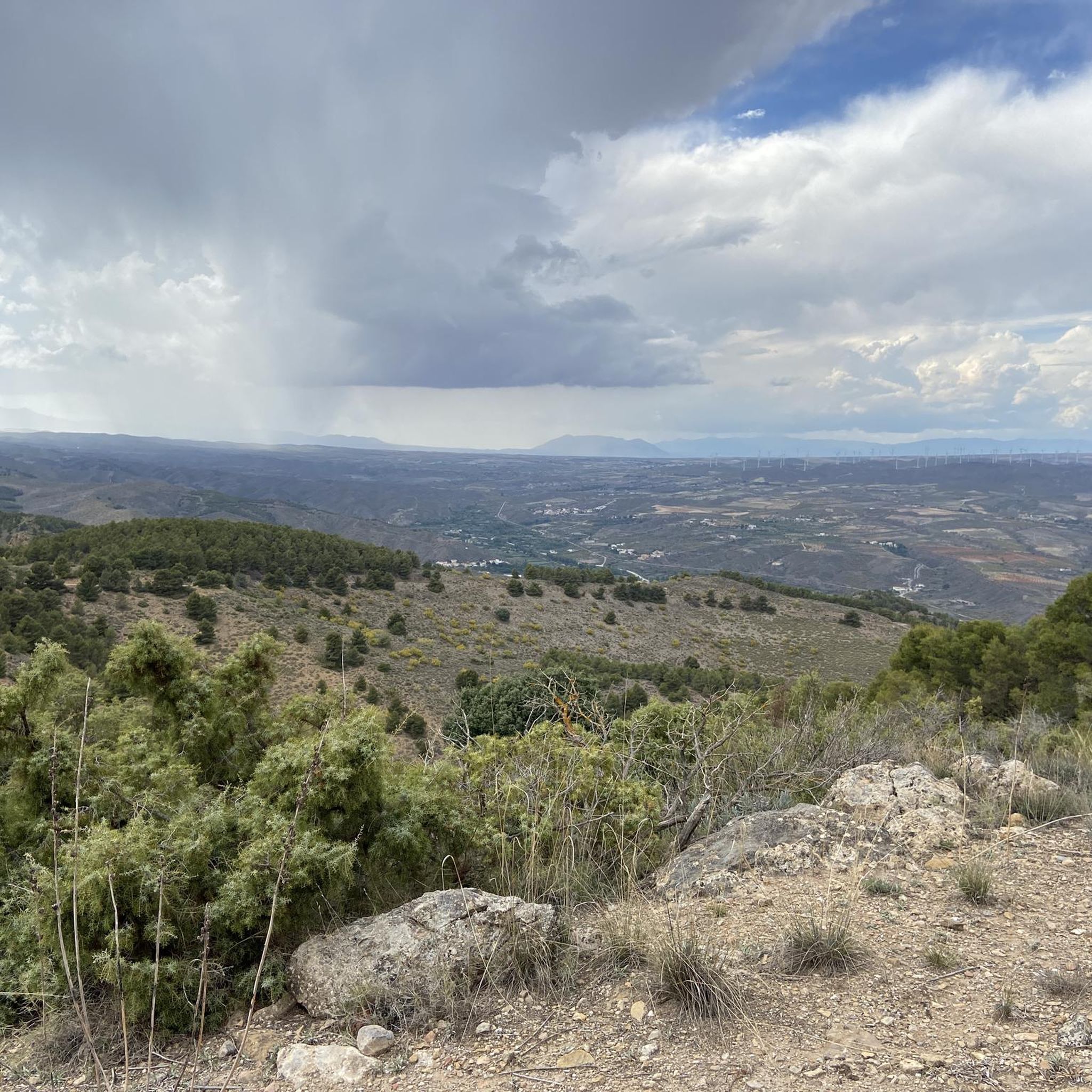
Hiking around Tíjola offers diverse natural landscapes, characterized by the valleys formed by the Sierra de los Filabres and the Sierra de las Estancias. The region features a mountainous backdrop with ravines and pine forests. The Bacares River carves through the terrain, creating picturesque views and opportunities for riverside walks, notably within the Cerrá of Tíjola, an area with impressive vertical stone formations.
Best hiking trails around Tíjola
- The most popular hiking route is Saw by the Era del Violín…
Last updated: August 15, 2026
4.5
(4)
9
hikers
6.27km
01:57
240m
240m
Moderate hike. Great for any fitness level. Mostly accessible paths. Sure-footedness required.
4.3
(4)
9
hikers
13.4km
03:52
340m
350m
Moderate hike. Good fitness required. Mostly accessible paths. Sure-footedness required.

Sign up for free
4.8
(8)
26
hikers
6.57km
01:54
160m
160m
Easy hike. Great for any fitness level. Easily-accessible paths. Suitable for all skill levels.
3.5
(2)
10
hikers
14.4km
04:09
370m
370m
Moderate hike. Good fitness required. Easily-accessible paths. Suitable for all skill levels.
5.0
(1)
4
hikers
12.3km
03:40
370m
370m
Moderate hike. Good fitness required. Easily-accessible paths. Suitable for all skill levels.
Get access to more routes and recommendations from other explorers.
Sign up for free
Already have an account?
Our route recommendations are based on thousands of hikes, rides, and runs completed by other people on komoot.
Start today with a free account
Your next adventure awaits.
Login or Signup
Tips from the Community

The Las Menas iron ore mines remained active until 1968, providing an income for 2,900 people, including miners and their families.
0
0

The name Somontín seems to have a Latin origin, coming from the union of “sub” and “montis”, giving a meaning of “below the mountain”. Although there is no proven data that allows us to establish the origin of Somontín, its name suggests that it already existed when the Muslims arrived in 711. The success of the name would come from the location of the town with respect to the Almanzora Valley. Somontín is a picturesque place, with sloping streets, white houses and an outstanding Parish Church. Its location in the Sierra de las Estancias has earned it the nickname “Balcón del Almanzora”. 🌿🏞️
1
0
Lúcar is a Spanish town and municipality located in the northwestern part of the Valle del Almanzora region, in the province of Almería. It borders with the Almeria municipalities of Tíjola, Armuña de Almanzora, Purchena, Somontín and Oria, and with the Granada municipality of Cúllar. The municipality is located at an altitude of 912 meters. The name Lúcar comes from the Latin “lucus”, which means jungle1. 🌿🏞️
4
0
This small urban center is located in the foothills of the Sierra de los Filabres and offers an impressive landscape. Its plain watered by the Bacares River and the surrounding mountains make up a quiet and secluded environment. The history of Bayarque is linked to mining and agriculture, and its culture and gastronomy are part of its charm. If you ever visit Bayarque, you can enjoy its natural beauty and immerse yourself in its history and traditions. 🌿🏞️
1
0
amping Las Menas de Serón is a special place located in the Sierra de los Filabres, between the municipalities of Serón and Bacares, in the province of Almería, Spain. This campsite, rebuilt in the old hospital of the mining town of Las Menas (1887-1968), offers a quiet and ideal experience to relax and enjoy nature and culture. If you are looking for an accessible and unique place in the mountains, Camping Las Menas is the perfect choice. 🌿🏕️
1
0

Las Menas is an old mining town that once had 2,500 inhabitants. It is currently an ideal place for outdoor activities due to its location in a privileged mountain setting.
0
0
Los Cortijillos is part of the old mining complex of Las Menas. The transformer and the whistle that indicated the schedules were located in this deserted area.
0
0
The hermitage of Las Menas is dedicated to Santa Bárbara, patron saint of this district of Serón. It is a small chapel dating from 1911, which has been restored on various occasions.
6
0
Frequently Asked Questions
How many hiking trails are available in Tíjola?
Tíjola offers a diverse selection of nearly 20 hiking routes. These include 5 easy trails, 10 moderate options, and 3 more challenging treks, catering to various fitness levels and preferences.
Are there easy hiking options suitable for beginners or families in Tíjola?
Yes, Tíjola has several easy hiking options. For instance, the Camping Las Menas de Serón – Los Cortijillos loop from Las Menas is an easy 6.6 km trail. Another accessible choice is the Las Menas to Bacares – Barrancón River Waterfall loop from Bacares, which is 4.8 km and relatively flat, perfect for a relaxed outing.
What unique natural features can I expect to see while hiking in Tíjola?
Tíjola's landscape is defined by the Sierra de los Filabres and Sierra de las Estancias, featuring dramatic ravines and pine forests. A notable natural feature is the Cerrá of Tíjola, an impressive gorge with tall, vertical stone formations carved by the Bacares River. You can explore this area on routes like the "Tíjola-Cueva la Paloma-Tíjola la Vieja" route.
Are there any circular hiking routes in Tíjola?
Yes, many of Tíjola's trails are circular, offering convenient starting and ending points. Popular circular routes include Saw by the Era del Violín – circular (SL-A 13) and Las Minas de Talco – circular between Lucar and Somontin (PR-A 301), which allow you to experience diverse scenery without retracing your steps.
Can I visit historical sites or landmarks while hiking in Tíjola?
Absolutely. The region is rich in history. You can hike to the ancient Cueva de la Paloma, an old copper deposit exploited since prehistoric times, located in La Cerrá. The "Tíjola-Cueva la Paloma-Tíjola la Vieja" route specifically leads to this cave and the site of Tíjola la Vieja, an old fortress.
Are there any waterfalls in the Tíjola area?
Yes, you can discover a waterfall on the Las Menas to Bacares – Barrancón River Waterfall loop from Bacares. This easier 4.8 km route offers a pleasant walk along the Barrancón River, leading to a picturesque waterfall.
What do other hikers enjoy most about hiking in Tíjola?
The area is highly rated by the komoot community, with an average score of 4.4 stars from around 20 reviews. Hikers often praise the diverse natural landscapes, the dramatic scenery of the Cerrá, and the well-defined trails that cater to different ability levels.
Is it possible to explore the region's mining history through hiking trails?
Yes, Tíjola has a strong mining heritage. The Las Minas de Talco – circular between Lucar and Somontin (PR-A 301) is a moderate 13.4 km trail that explores the area's mining past. Additionally, a dedicated "Mining Route" starts in Tíjola and heads towards the old mining village of Las Menas, offering insights into this historical industry.
Are there any unique natural attractions in Tíjola beyond hiking trails?
Yes, 3.5 km north of Tíjola, you'll find the Balsa de Cela, a natural thermal spring. Its waters emerge at a constant flow and maintain a temperature of 22-24 degrees Celsius year-round, known for their medicinal properties since Roman times. It's a perfect spot for relaxation after a hike.
Are there any flat, easy paths suitable for walking or cycling in Tíjola?
Yes, the old train station of Tíjola serves as a starting point for excursions along the Almanzora Greenway. This perfectly restored path, built on a former railway line, is ideal for both hiking and cycling, offering a flat and scenic route through the valley.
What are some notable gorges or canyons to visit in Tíjola?
Tíjola is home to several impressive gorges. Besides the Cerrá of Tíjola, you can explore El Estrecho de Urrácal, El Cantaril Gorge, and Salto del Caballo. These natural formations offer dramatic scenery and unique hiking experiences.
When is the best time of year to hike in Tíjola?
Tíjola's diverse climate makes it suitable for hiking across multiple seasons. Spring and autumn generally offer the most pleasant temperatures for exploring the mountain ranges and river valleys. Winter hiking is also possible, especially on lower-altitude trails, while summer can be warm, making early morning or late afternoon hikes preferable.
Most popular attractions around Tíjola

Get inspired with the komoot mobile app


Explore more
Browse the best Hikes in other regions.
