The best walks and hikes around Tariego De Cerrato
4.7
(31)
130
hikers
36
hikes
Hiking around Tariego De Cerrato offers a variety of trails through diverse landscapes. The region features routes that traverse gentle hills, open countryside, and areas influenced by historical waterways. Many paths follow natural contours, providing accessible options for various skill levels. The terrain generally consists of rolling hills and agricultural land, with some routes exploring wooded sections or riverine environments.
Best hiking trails around Tariego De Cerrato
- The most popular hiking route is Monte los Propios — circular from Venta…
Last updated: May 23, 2026
5.0
(2)
4
hikers
12.5km
03:23
180m
180m
Moderate hike. Good fitness required. Easily-accessible paths. Suitable for all skill levels.
5.0
(1)
2
hikers
16.6km
04:25
170m
170m
Moderate hike. Good fitness required. Mostly accessible paths. Sure-footedness required.

Sign up for free
1
hikers
14.4km
03:53
180m
180m
Moderate hike. Good fitness required. Easily-accessible paths. Suitable for all skill levels.
5.0
(3)
3
hikers
6.31km
01:45
110m
110m
Easy hike. Great for any fitness level. Easily-accessible paths. Suitable for all skill levels.
5.0
(2)
9
hikers
12.7km
03:13
30m
30m
Moderate hike. Good fitness required. Easily-accessible paths. Suitable for all skill levels.
Get access to more routes and recommendations from other explorers.
Sign up for free
Already have an account?
Our route recommendations are based on thousands of hikes, rides, and runs completed by other people on komoot.
Start today with a free account
Your next adventure awaits.
Login or Signup


Tips from the Community

It is always very impressive to look at the canalization.
3
0

Set of three locks on the Canal de Castilla, 34, 35 and 36. The particularity: 34 is oval, according to Leonardo da Vinci's classic model, which allowed two barges to cross, but required more water and more work and cost. of construction. Therefore, in order to complete the work at a reasonable price and time, it was decided to adopt another lock model, rectangular, and build locks 35 and 36 according to the same... and the remaining locks of the South Branch and Campos Branch of the Canal. The place is well equipped for a picnic. Accessible by a pleasant walk along the Canal de Castilla from Dueñas or Villamuriel
0
0
It can be visited while taking a walk through Dueñas. Another good idea: Dueñas - Soto Albúrez - Dueñas along the Canal can be a nice and quiet walk, which also allows you to see this lock.
0
1

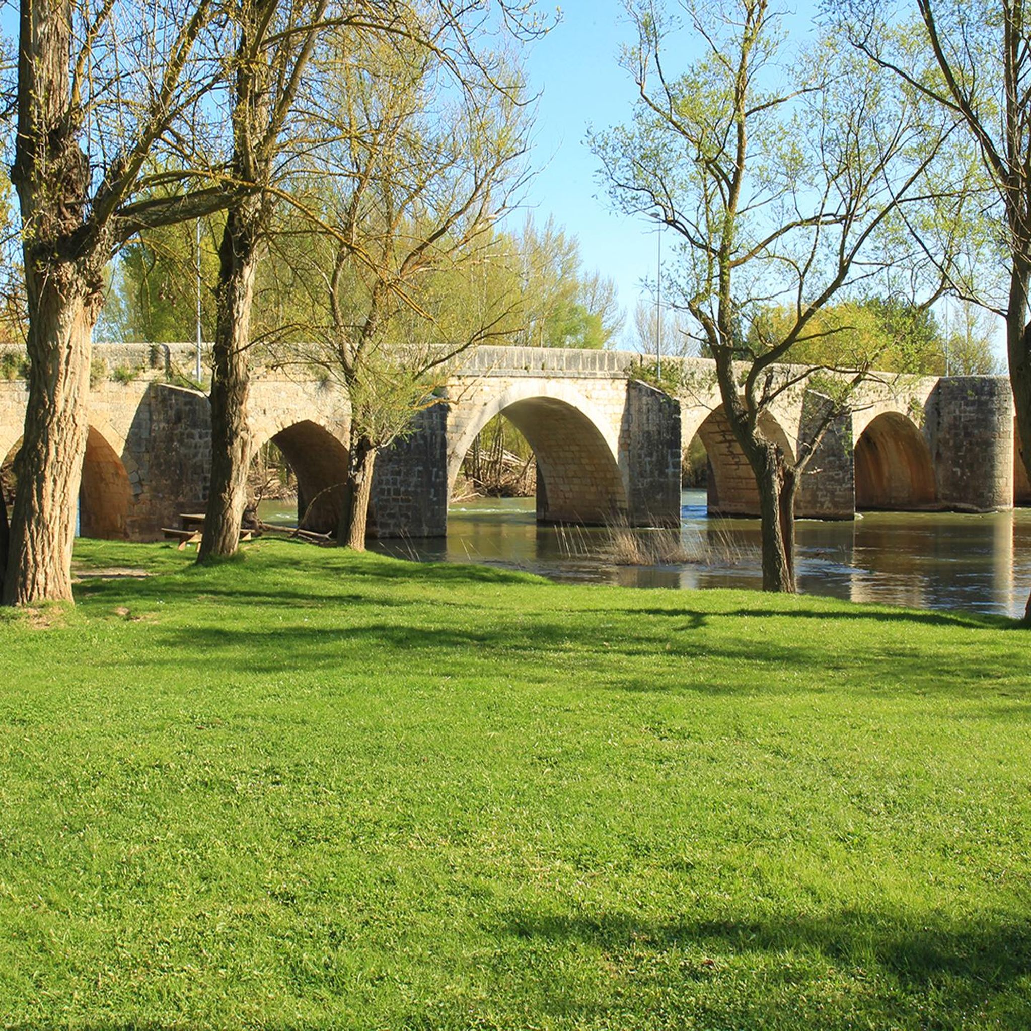
A medieval stone bridge that crosses the Pisuerga River in a beautiful area of fluvial islands created by years of river flow and sediment.
1
0

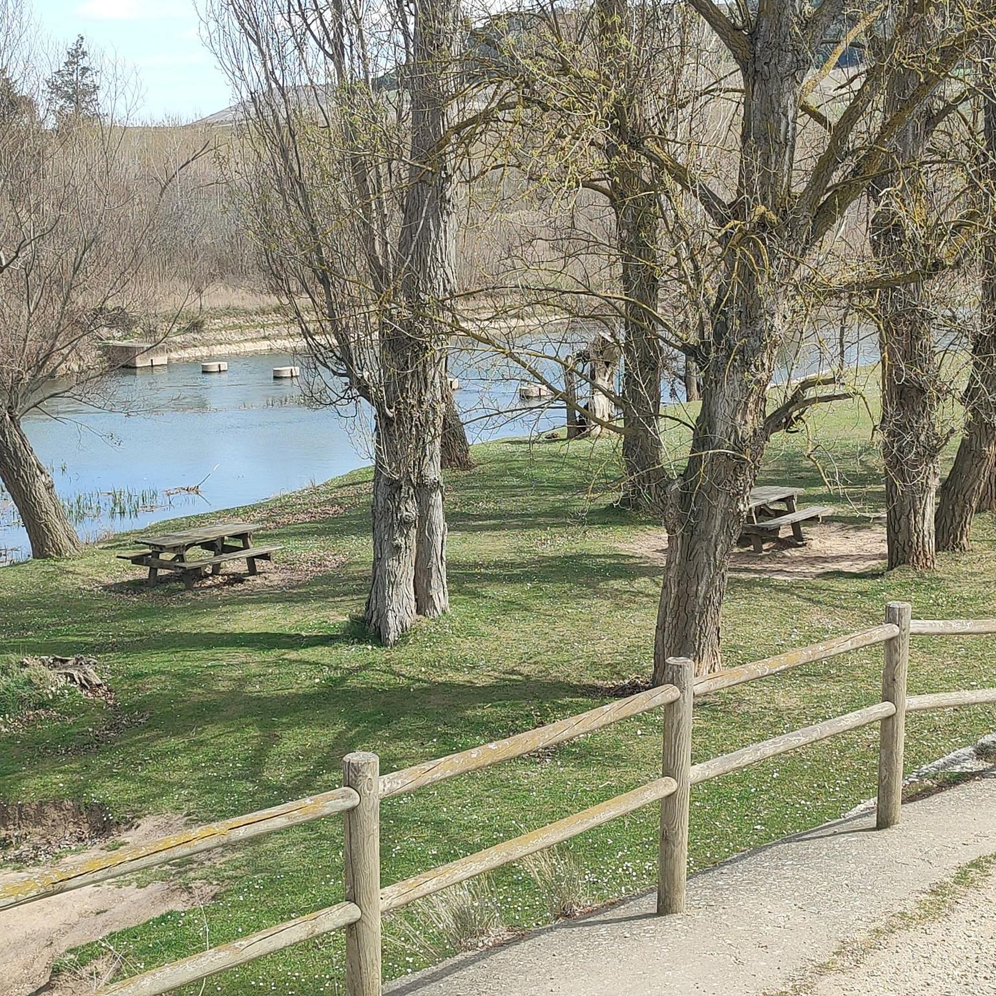
Recreational area in an oak grove located on Monte Los Propios, near Venta de los Baños.
0
0
Historical monument of the old cabins that the shepherds used to shelter from the elements when they took care of their flocks.
2
0
Bridge that crosses the course of the Pisuerga river in Tariego de Cerrato next to the recreational area "la Isla".
1
0
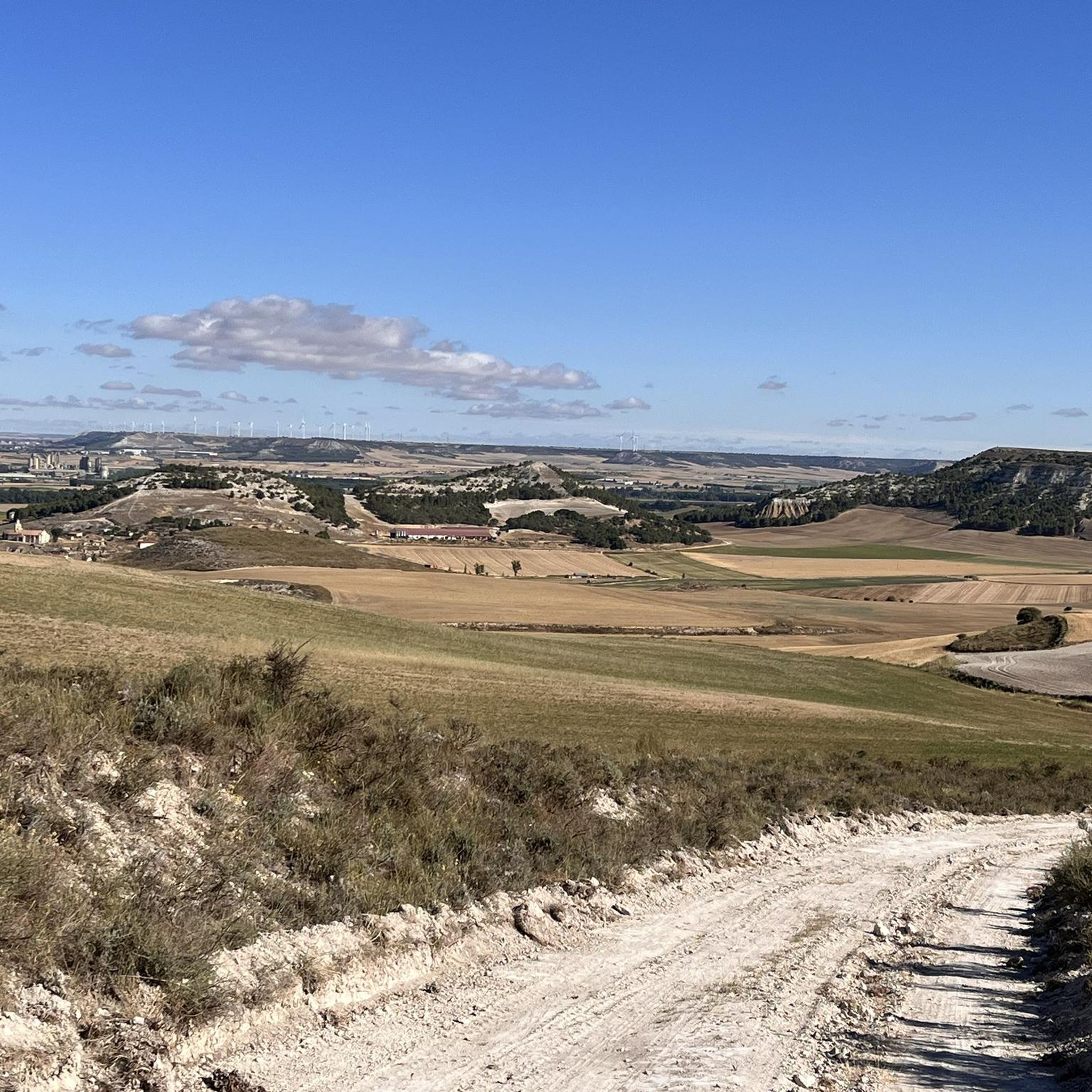
Picnic area and recreational park located on the route of the viewpoints of Monte de la Villa. This trail runs through the páramos of Monte de la Villa in Dueñas.
2
0
Frequently Asked Questions
How many hiking trails are available around Tariego De Cerrato?
There are over 35 hiking routes documented around Tariego De Cerrato on komoot. These include a variety of options, from easy strolls to more moderate excursions, catering to different preferences and fitness levels.
What is the best time of year to go hiking in Tariego De Cerrato?
The region's terrain, characterized by rolling hills and open fields, makes it suitable for hiking during most of the year. Spring and autumn offer pleasant temperatures and vibrant landscapes. Summer can be warm, so early morning or late afternoon hikes are recommended. Winter hiking is also possible, though some paths might be muddy after rain.
Are there easy hiking trails suitable for beginners in Tariego De Cerrato?
Yes, Tariego De Cerrato offers a good selection of easy trails. There are 19 easy routes available, perfect for beginners or those looking for a relaxed walk. An example is the Monte Los Propios loop from Merendero Monte los Propios, which is 4.2 miles (6.7 km) long and has a gentle elevation gain.
Can I find challenging hikes in Tariego De Cerrato?
While the region is primarily known for its easy to moderate trails, there is at least one challenging route available for experienced hikers seeking a more strenuous experience. Most routes feature moderate elevation changes across rolling terrain.
Are there any circular hiking routes in Tariego De Cerrato?
Yes, many of the trails in Tariego De Cerrato are circular, offering convenient starting and ending points. For instance, the popular Monte los Propios — circular from Venta de los Baños is a 7.8-mile (12.5 km) loop, and Los Chozos del Monte de Dueñas — circular desde Dueñas is another excellent circular option.
What are the typical distances and elevations for hikes in this region?
Hikes in Tariego De Cerrato vary in length and elevation. You'll find routes ranging from shorter, easy walks of a few kilometers to longer, moderate excursions up to 10 miles (16 km). Elevation gains are generally moderate, typically under 200 meters (650 feet), reflecting the region's rolling landscape.
Are dogs allowed on the hiking trails in Tariego De Cerrato?
Generally, dogs are welcome on hiking trails in rural areas like Tariego De Cerrato. It's always advisable to keep your dog on a leash, especially near agricultural land or wildlife, and to carry waste bags to clean up after them. Check local signage for any specific restrictions.
Are there family-friendly hiking options in Tariego De Cerrato?
Many of the easier and shorter trails in Tariego De Cerrato are suitable for families with children. The gentle terrain and manageable distances make for enjoyable outings. Consider routes with minimal elevation gain and interesting points along the way to keep younger hikers engaged.
Where can I find parking for hiking trails in Tariego De Cerrato?
Parking is typically available near the starting points of many trails, especially in or near the villages and towns that serve as trailheads. For example, routes starting from Venta de los Baños or Soto de Cerrato usually have accessible parking options. Always check the specific route details for recommended parking areas.
What interesting places can I explore near the hiking trails?
The region offers several points of interest. You can explore historical sites like the Casa Grande de Palencia or visit religious buildings such as the Church of Santa María la Mayor. The Soto Albúrez Locks – Lock 33, Canal de Castilla loop offers a chance to see the historic Lock 33, Canal de Castilla and Soto Albúrez Lock.
Are there any viewpoints along the hiking trails in Tariego De Cerrato?
Yes, given the rolling hills and open countryside, many trails offer scenic vistas. A notable viewpoint is the View of the Fields of Tierra de Campos, providing expansive views of the surrounding agricultural landscape. Routes traversing higher ground will often present opportunities for panoramic views.
What do other hikers say about the trails in Tariego De Cerrato?
The hiking routes in Tariego De Cerrato are highly regarded by the komoot community, with an average rating of 4.6 stars from over 30 reviews. Hikers often praise the peaceful rural atmosphere, the well-maintained paths, and the diverse landscapes that include open fields, wooded sections, and historical canal areas.
Most popular routes around Tariego De Cerrato
Most popular attractions around Tariego De Cerrato

Get inspired with the komoot mobile app


Explore more
Browse the best Hikes in other regions.
