The best walks and hikes around Amusquillo
5.0
(2)
17
hikers
3
hikes
Hiking around Amusquillo, a municipality in the province of Valladolid, Spain, offers routes within the Esgueva Valley, nestled between Villafuerte and Villaco. The local soil is characterized by its distinct dark brown color, hinting at an earthy landscape. While Amusquillo itself is a small community, the broader Castile and León region provides diverse natural settings, including expansive plateaus and dense forests. These features contribute to varied terrain suitable for outdoor activities.
Best hiking trails around Amusquillo
- The most popular hiking route is Corrales de La Tiñosa — circular desde Vertavillo, a 7.2 miles (11.6 km) moderate trail that takes 3 hours 9 minutes to complete, offering views of the Esgueva Valley.
- Another top favourite among local hikers is Castillo de Villafuerte de Esgueva — circular desde Castrillo-Tejeriego, a moderate 11.2 miles (18.0 km) path. This route explores the area around the historic Castillo de Villafuerte de Esgueva.
- Local hikers also love the Castrillo de Onielo — Calero, a 7.9 miles (12.7 km) trail leading through agricultural landscapes and the Esgueva Valley, often completed in about 3 hours 25 minutes.
- Hiking around Amusquillo is defined by its position in the Esgueva Valley, characterized by earthy landscapes and the potential for exploring expansive plateaus and dense forests in the wider region. The network offers options for different ability levels, primarily moderate routes.
- The routes in Amusquillo are highly rated by the komoot community with an average score of 5.0 stars from 2 reviews. More than 20 hikers have used komoot to explore Amusquillo's varied terrain.
Last updated: October 1, 2026
5.0
(1)
2
hikers
11.6km
03:09
170m
160m
Moderate hike. Good fitness required. Easily-accessible paths. Suitable for all skill levels.
18.0km
04:52
220m
220m
Moderate hike. Good fitness required. Easily-accessible paths. Suitable for all skill levels.

12.7km
03:25
170m
170m
Hike the 7.9-mile Castrillo de Onielo circular by the Calero source, a moderate route with 548 feet of elevation gain.
5.0
(1)
13
hikers
8.29km
02:08
40m
40m
Moderate hike. Good fitness required. Easily-accessible paths. Suitable for all skill levels.
2
hikers
14.8km
03:58
170m
170m
Moderate hike. Good fitness required. Easily-accessible paths. Suitable for all skill levels.
Our route recommendations are based on thousands of hikes, rides, and runs completed by other people on komoot.
Start today with a free account
Your next adventure awaits.
Popular around Amusquillo
Tips from the Community

Vertavillo is a charming municipality in the province of Palencia, Castilla y León. This village, located in the Cerrato region, offers a rich history and an impressive natural environment.
4
0

The Monastery of Santa María de Valbuena, located in Valbuena de Duero, is a magnificent example of 12th century monastic architecture. With its impressive Gothic-style church, the monastery is noted for its beautiful cloisters and rich religious history. Currently, it houses the Las Edades del Hombre Foundation, where valuable works of sacred art are exhibited and culture and tourism in the region are promoted.
1
0

Built on a hill, the Castle of Villafuerte de Esgueva dominates the surrounding landscape. Built in 1472 by the Garci Franco family.
1
0

This attractive little town has been listed as a Historic-Artistic Monument since 1960. It is surrounded by a wall that was built in medieval times. Area attractions include Church of San Miguel Arcangel and Rollo de Vertavillo.
0
0
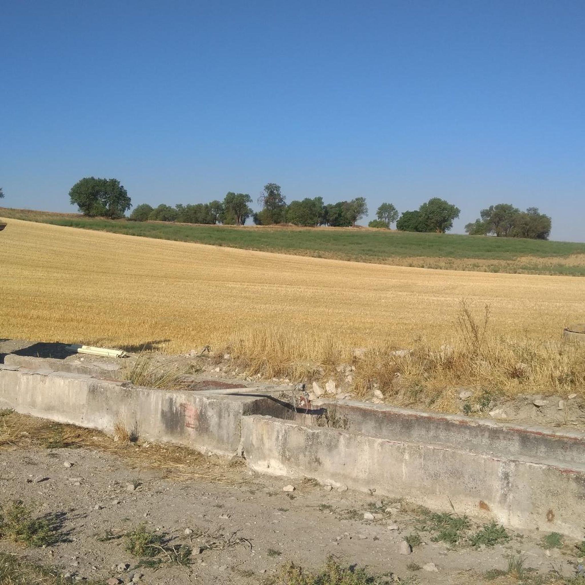
These traditional constructions like these are common in this area. They have not been used regularly since the 20th century, but they are an interesting relic of the past.
0
0

Traditional constructions linked to the ramaderia. They are frequent throughout the Cerrato region, although they stopped being used in the mid-20th century.
1
0
Palencia town that houses prehistoric sites. The town has been listed as a Historic-Artistic Monument since 1960. The town has a medieval walled enclosure, the parish church of San Miguel or the hermitage of Santo Cristo del Consuel.
1
1
Palencia town where we find the beautiful parish church of Ntra. Sra. de la Paz dating from the twelfth century (although modified in later centuries).
1
0
Frequently Asked Questions
How many hiking trails are available around Amusquillo?
There are three moderate hiking trails directly associated with Amusquillo in this guide. These routes offer a good variety of distances and scenery within the Esgueva Valley region.
What is the typical difficulty level of hikes near Amusquillo?
All the hiking routes featured in this guide around Amusquillo are classified as moderate. They generally involve varied terrain and can range from around 8 to 18 kilometers in length, suitable for hikers with a reasonable level of fitness.
Are there any circular walks around Amusquillo?
Yes, several routes in the area are circular. For example, you can explore the Corrales de La Tiñosa — circular desde Vertavillo, which offers a scenic loop, or the Castillo de Villafuerte de Esgueva — circular desde Castrillo-Tejeriego, which takes you past a historic castle.
What kind of natural features or landscapes can I expect to see while hiking near Amusquillo?
The Amusquillo area, situated in the Esgueva Valley, is characterized by its distinct dark brown soil, hinting at a rich earthy landscape. While specific dramatic features are not prominent, the broader Castile y León region offers diverse terrain including wild gorges, expansive plateaus, and dense forests, providing varied natural beauty within a reasonable distance.
What historical landmarks or attractions can I visit along the hiking trails?
Several routes pass by interesting historical sites. You can hike past the impressive Villafuerte de Esgueva Castle, or discover the Church of San Miguel Arcángel and Rollo de Vertavillo. Another notable site is the Monastery of Santa María de Valbuena.
What do other hikers say about the trails around Amusquillo?
The komoot community rates the hiking experience around Amusquillo highly, with an average score of 5.0 stars. Hikers often appreciate the peacefulness and the opportunity to explore the historical and natural beauty of the Esgueva Valley.
Are there any routes that offer views of castles or historic buildings?
Yes, the route Castillo de Villafuerte de Esgueva — circular desde Castrillo-Tejeriego is an excellent choice, as it takes you directly to the historic Villafuerte de Esgueva Castle.
What is the best time of year to go hiking in Amusquillo?
While specific seasonal details for Amusquillo are not provided, the broader Castile y León region generally offers pleasant hiking conditions in spring and autumn, with milder temperatures. Summers can be hot, and winters can be cold, so plan accordingly with appropriate gear.
Are there any longer hikes for more experienced trekkers?
The longest route in this guide is the Castillo de Villafuerte de Esgueva — circular desde Castrillo-Tejeriego, covering approximately 18 kilometers. This moderate trail provides a substantial challenge for those looking for a longer day out.
Can I find trails that are suitable for a half-day hike?
Absolutely. Routes like Corrales de La Tiñosa — circular desde Vertavillo, at around 11.6 kilometers, or Castrillo de Onielo — Calero, at 12.6 kilometers, are excellent options that can typically be completed within 3 to 4 hours, making them ideal for a rewarding half-day adventure.
Most popular routes around Amusquillo
Most popular attractions around Amusquillo

Get inspired with the komoot mobile app


Explore more
Browse the best Hikes in other regions.
