The best walks and hikes around Sot De Chera
4.7
(739)
4,220
hikers
96
hikes
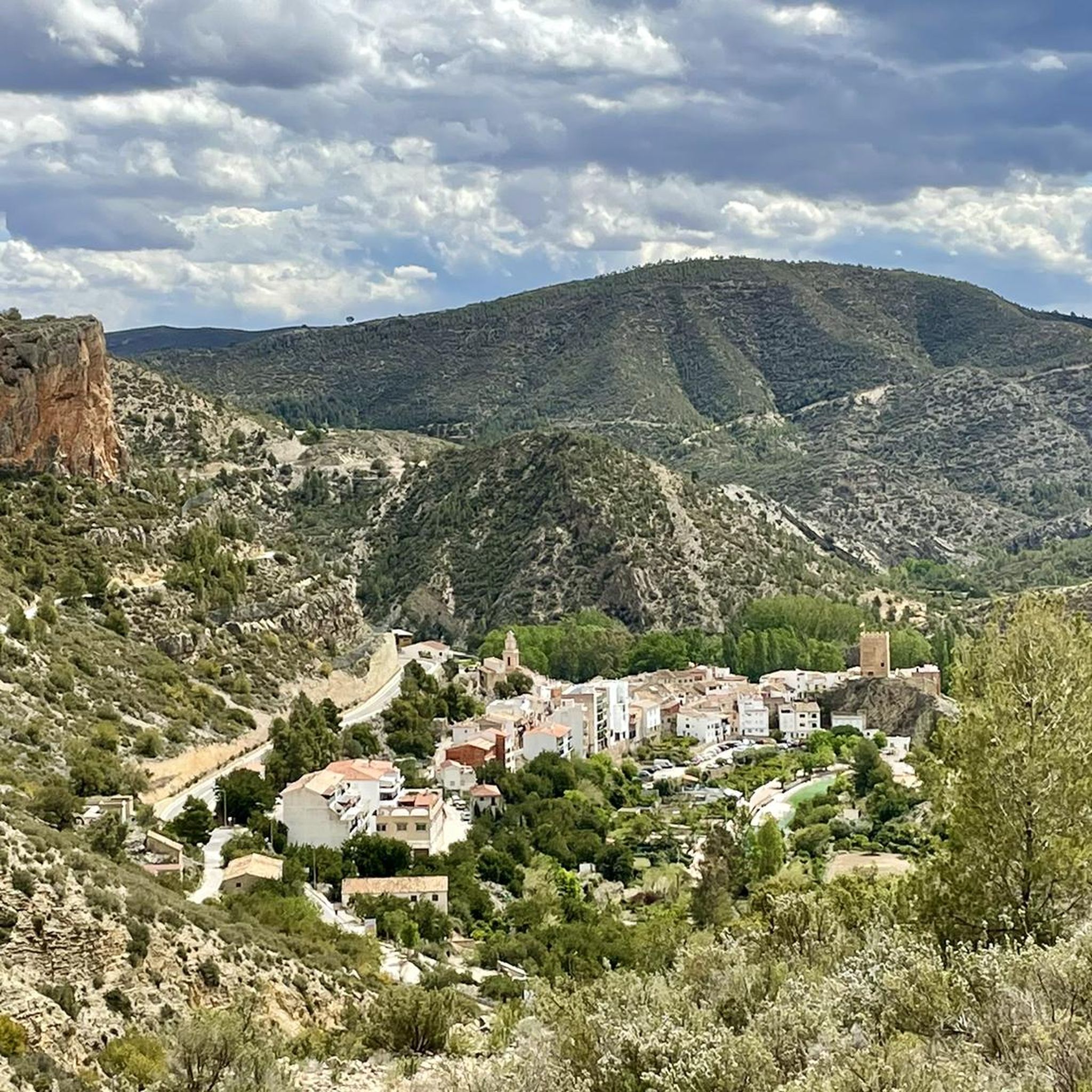
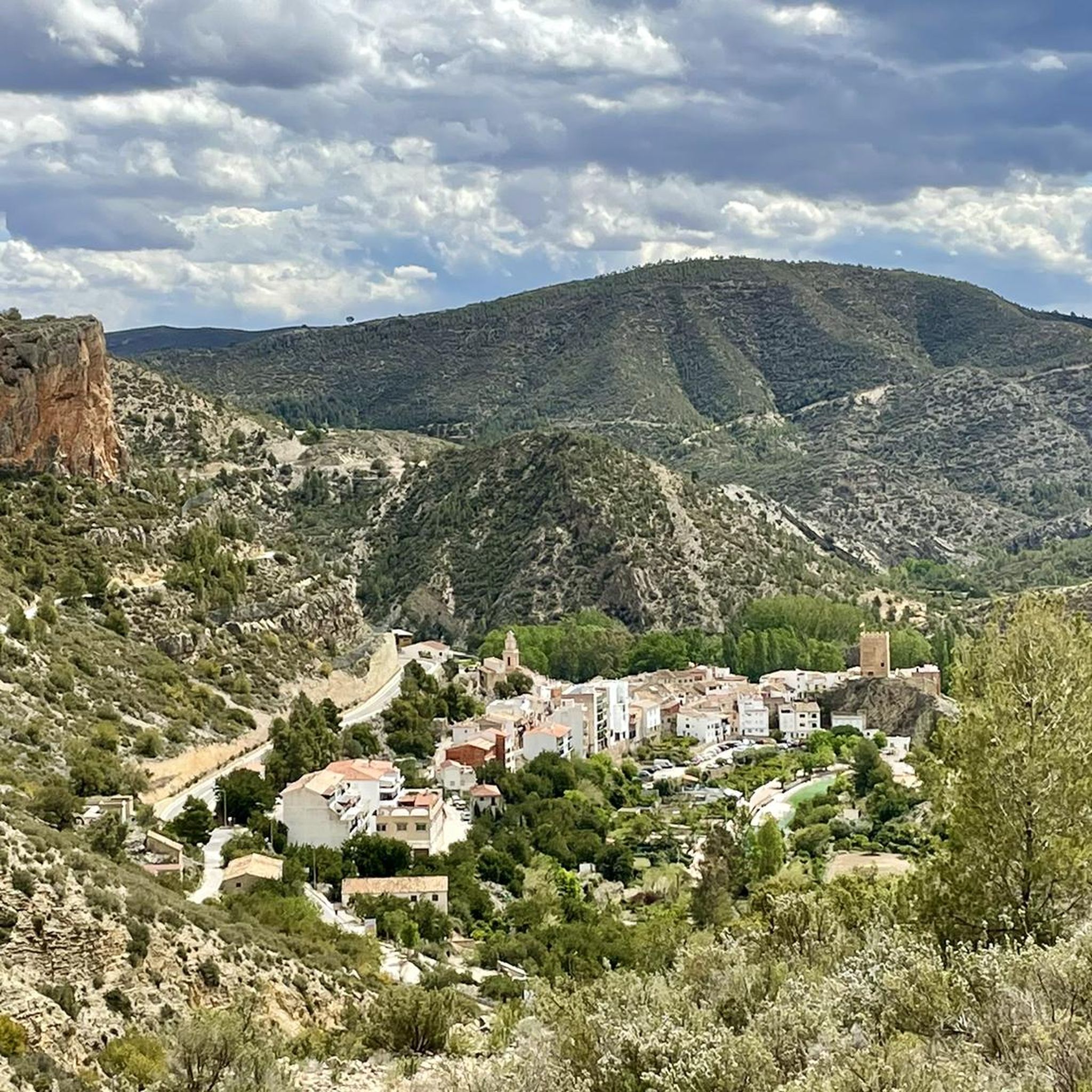
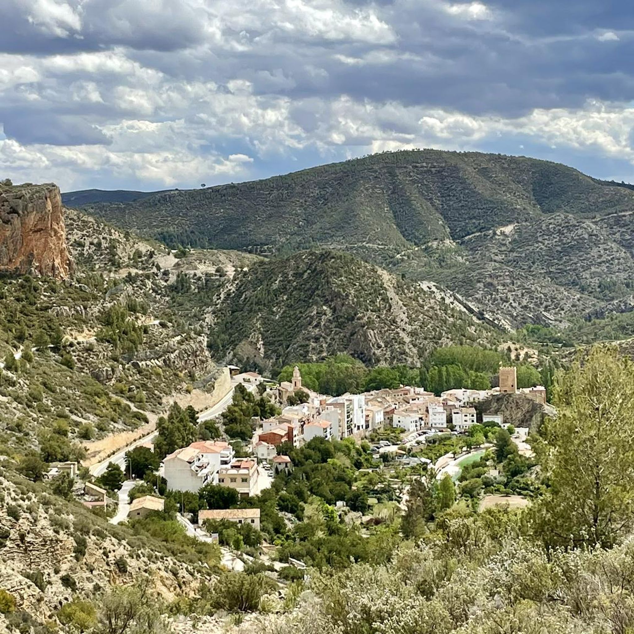
Hiking around Sot De Chera offers access to a diverse natural landscape within the Chera-Sot de Chera Natural and Geological Park. The terrain features deep gorges, mountains reaching up to 1,100 meters, and fertile valleys. The area is characterized by significant geological formations, including travertines and impressive arch-shaped folds. The River Sot traverses the region, creating natural pools and riparian forests.
Best hiking trails around Sot De Chera
- The most popular hiking route is Ruta de los Pantaneros and Hanging…
Last updated: September 27, 2026
4.8
(10)
35
hikers
10.1km
03:23
470m
470m
Moderate hike. Good fitness required. Easily-accessible paths. Suitable for all skill levels.
5.0
(1)
6
hikers
14.7km
04:27
470m
480m
Moderate hike. Good fitness required. Easily-accessible paths. Suitable for all skill levels.

5.0
(3)
7
hikers
4.17km
01:08
60m
70m
Easy hike. Great for any fitness level. Easily-accessible paths. Suitable for all skill levels.
4.5
(2)
3
hikers
12.5km
04:06
450m
450m
Moderate hike. Good fitness required. Mostly accessible paths. Sure-footedness required.
5.0
(2)
7
hikers
Moderate hike. Good fitness required. Easily-accessible paths. Suitable for all skill levels.
Get access to more routes and recommendations from other explorers.
Already have an account?
Our route recommendations are based on thousands of hikes, rides, and runs completed by other people on komoot.
Start today with a free account
Your next adventure awaits.
Tips from the Community

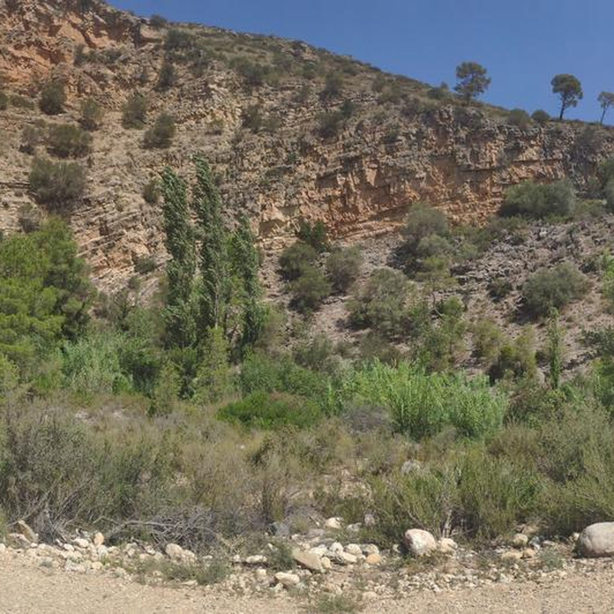
The Reatillo River, also known as the Sot River in its final stretch, is a tributary of the Turia River that flows through spectacular natural surroundings in the province of Valencia, particularly in the Chera-Sot de Chera Natural Park. In Sot de Chera, the river forms natural pools or "charcos" (pools), ideal for swimming, especially in summer. One of the best known is Charco Gruñidor, a natural pool of crystal-clear water surrounded by vegetation and rocks.
4
0
The Reatillo River, also known as the Sot River in its final stretch, is a tributary of the Turia River that flows through spectacular natural surroundings in the province of Valencia, particularly in the Chera-Sot de Chera Natural Park. In Sot de Chera, the river forms natural pools or "charcos" (pools), ideal for swimming, especially in summer. One of the best-known is Charco Gruñidor, a natural pool of crystal-clear water surrounded by vegetation and rocks.
4
0

This good viewpoint is just the promising start of the trail. Keep it up and you'll be amazed.
1
0

At the moment, they are undergoing renovations and it is not possible to access.
0
0
Rest area and viewpoint, excellent views, with the front to Morroncillo, to the sides, Sot de Chera (to the NE) and Chera (to the SW).
0
0
The view 360 view when walking on the presa is really amazing : the color of the embalse, the cliffs and rocks on the other side, with colored water as well, makes this place really a must go.
1
0
Thrilling part of trail, very safe as they put cable for people not feeling it but the trail is not that narrow so you can fully enjoy the view.
2
0

Popular bathing spot with small waterfalls and a pool at the end of the canyon.
1
0
Frequently Asked Questions
How many hiking trails are available in Sot de Chera?
Sot de Chera offers a wide variety of hiking trails, with nearly 70 routes recorded on komoot. These trails cater to all fitness levels, ranging from easy paths to challenging routes, all set within the stunning Chera-Sot de Chera Natural and Geological Park.
What kind of terrain and landscapes can I expect on hikes around Sot de Chera?
The terrain around Sot de Chera is incredibly diverse, characterized by dramatic deep gorges, towering mountains reaching up to 1,100 meters, and lush, fertile valleys. You'll encounter significant geological formations like travertines and impressive arch-shaped folds, as well as riparian forests along the River Sot. The area's rugged beauty is a defining feature of its hiking experience.
Are there any circular hiking routes in Sot de Chera?
Yes, many routes in Sot de Chera are circular, allowing you to start and end in the same location. A popular option is the Mirador del Morroncillo — Circular from Sot de Chera (PR-CV 223), which offers panoramic views. Another excellent choice is La Cuesta Larga (PR-CV 414) — Circular to Puntal de Los Vagos, providing a moderate challenge with varied scenery.
Can I find hikes with waterfalls or natural pools in Sot de Chera?
Absolutely. The River Sot (Reatillo River) traverses the area, creating picturesque natural pools perfect for a refreshing dip, such as Charco Gruñidor. Many trails also lead to scenic waterfalls, including the notable Chorrero de la Castellana near the Cueva de la Garita. The Water Route along the Reatillo River is an easy option specifically designed to showcase these aquatic features.
What are some notable natural attractions or landmarks to see while hiking?
Sot de Chera is rich in natural attractions. You can explore the impressive Cueva de la Garita, discover the crystalline waters of Charco Azul, or visit the significant Buseo Reservoir, which is often part of various hiking routes. The area also features stunning geological formations like the graben of Chera and impressive anticlines.
Are there any family-friendly hiking options in Sot de Chera?
Yes, Sot de Chera offers several easy paths suitable for families. The Water Route along the Reatillo River is a great example, providing a gentle walk along the river with opportunities to enjoy natural pools. These trails are generally less demanding and allow for a relaxed exploration of the natural beauty.
What is the best time of year to go hiking in Sot de Chera?
The best time to hike in Sot de Chera is generally during the spring and autumn months. The weather is milder, making for more comfortable hiking conditions. Spring brings lush greenery and blooming wildflowers, while autumn offers pleasant temperatures and beautiful fall colors. Summer can be quite warm, but the natural pools provide a refreshing escape.
How difficult are the hikes around Sot de Chera?
Hiking difficulty in Sot de Chera varies significantly. You'll find a range of options from easy, accessible paths suitable for casual strolls to challenging routes that demand good fitness or even alpine experience. Out of 71 total tours, 16 are easy, 43 are moderate, and 12 are difficult, ensuring there's a suitable trail for every ability level.
What do other hikers enjoy most about the trails in Sot de Chera?
The trails in Sot de Chera are highly rated by the komoot community, with an average score of 4.8 stars from over 500 reviews. Hikers frequently praise the diverse natural landscapes, the dramatic gorges, the presence of the Buseo Reservoir, and the picturesque Reatillo River. The well-developed network of approved PR and GR trails also contributes to a positive experience.
Are there any long-distance or more challenging routes for experienced hikers?
For experienced hikers seeking a challenge, Sot de Chera offers several demanding routes. The Ruta de los Pantaneros and Hanging Bridges Trail is a difficult 20.7 km route featuring demanding terrain and incorporating unique hanging bridges. Another moderate option that covers a good distance is the Buseo Reservoir and Barranco de la Hoz Loop, a 14.7 km trail through varied landscapes.
What makes the Chera-Sot de Chera Natural and Geological Park unique for hiking?
The Chera-Sot de Chera Natural and Geological Park is unique due to its profound geodiversity and biodiversity. It's home to the first geological park in the Region of Valencia, attracting visitors with spectacular rock formations like the graben of Chera and impressive anticlines. This geological richness, combined with its dramatic gorges, mountains, and lush valleys, creates a truly distinctive hiking environment.
Are there cultural points of interest in Sot de Chera village to explore after a hike?
Yes, the village of Sot de Chera itself offers cultural points of interest. You can explore a historic castle atop a rock, visit the San Sebastián Mártir Parish Church, and see traditional structures like olive mills and a public washhouse. These add a cultural dimension to your nature-focused visit.
Most popular attractions around Sot De Chera

Get inspired with the komoot mobile app


Explore more
Browse the best Hikes in other regions.
