The best road cycling routes around Łagowsko-Sulęciński Park Krajobrazowy
3.0
(6)
119
riders
6
rides
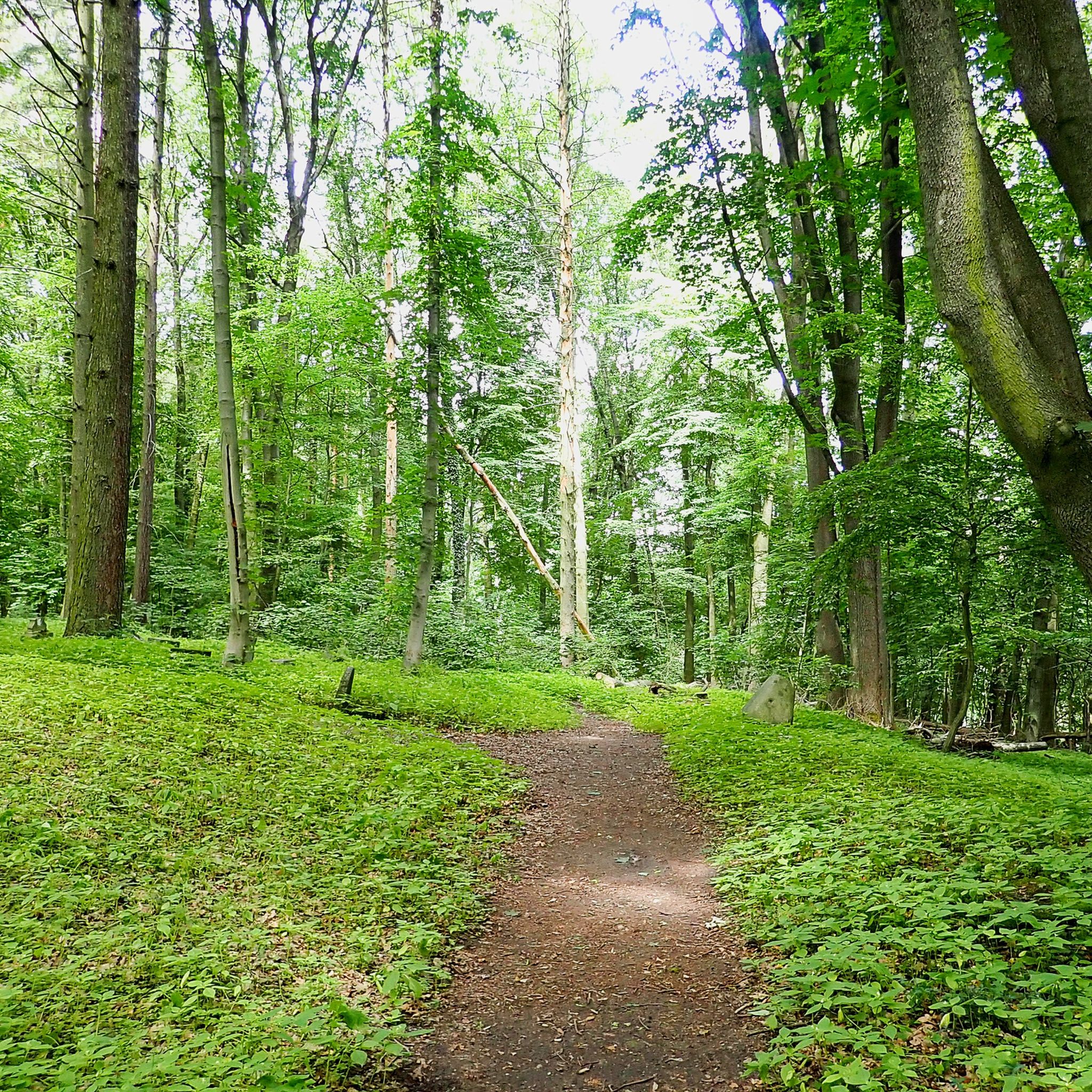
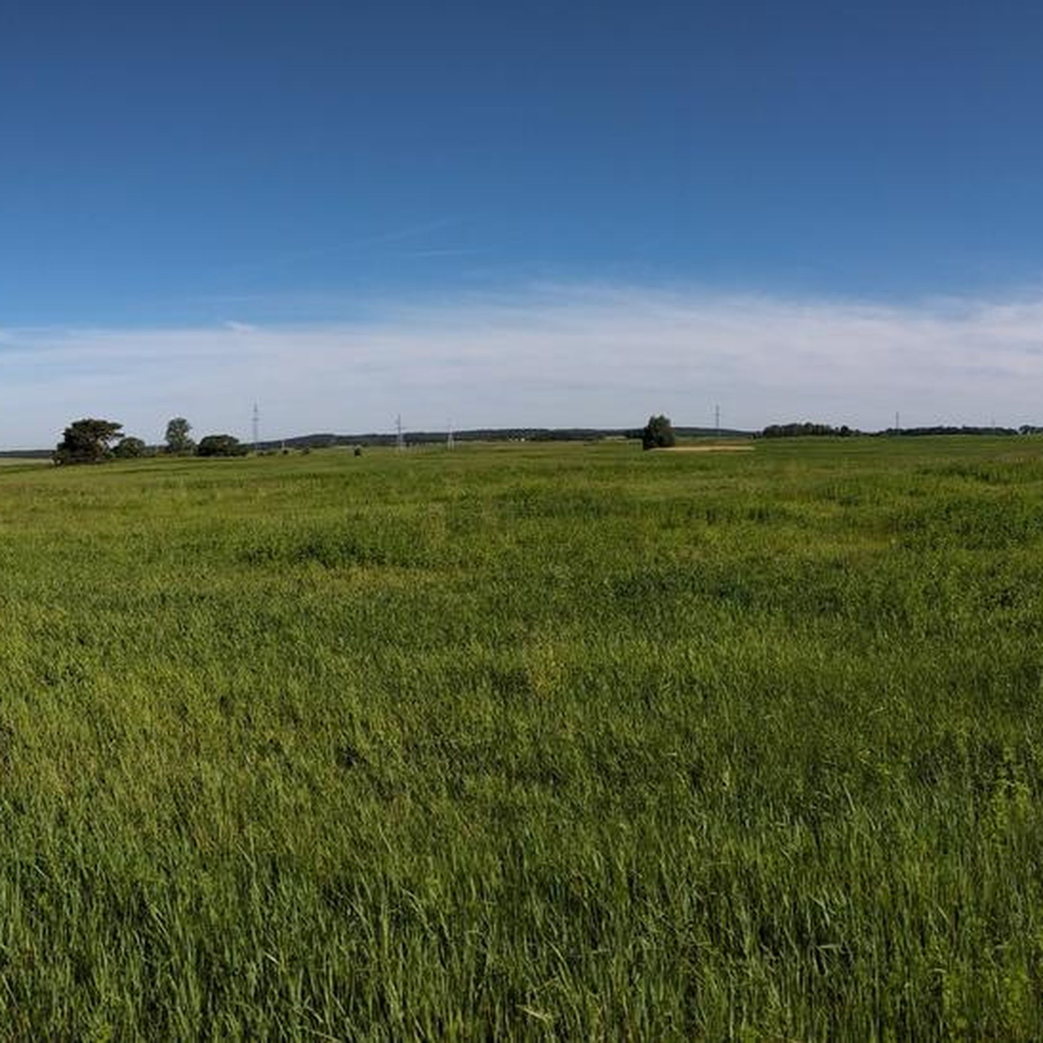
Road cycling routes around Łagowsko-Sulęciński Park Krajobrazowy traverse a diverse post-glacial landscape characterized by hills, forests, and numerous lakes. The terrain features undulating fields, meadows, and deep post-glacial troughs, offering varied elevation changes for cyclists. Over 65% of the park is covered by deciduous and mixed woodlands, with significant beech forests. The region includes the highest elevation in the Lubuskie Lake District, Bukowiec, at 227 meters above sea level.
Best road cycling routes around Łagowsko-Sulęciński Park Krajobrazowy
- The most popular…
Last updated: October 21, 2026
3.5
(2)
16
riders
40.5km
01:36
170m
170m
Easy road ride. Mostly well-paved surfaces and easy to ride.
20
riders
60.3km
02:29
380m
380m
Moderate road ride. Good fitness required. Mostly well-paved surfaces and easy to ride.

3.0
(1)
11
riders
Moderate road ride. Good fitness required. Some segments of this route may be unpaved and difficult to ride.
4
riders
51.0km
02:05
320m
320m
Moderate road ride. Good fitness required. Mostly well-paved surfaces and easy to ride.
5
riders
55.1km
02:23
310m
310m
Moderate road ride. Good fitness required. Some segments of this route may be unpaved and difficult to ride.
Our route recommendations are based on thousands of hikes, rides, and runs completed by other people on komoot.
Start today with a free account
Your next adventure awaits.
Popular around Łagowsko-Sulęciński Park Krajobrazowy
Tips from the Community

From 1257, the parish belonged to the Paradyski monastery. The old church was completely destroyed as a result of hostilities. The current building, erected in 1847 as a Protestant church, was consecrated on July 6, 1947, as a Catholic temple.
1
0

A nearly 150-year-old church, now a parish church since 1951. It's a shame you can only see it from the outside.
1
0

Beautiful church in Łagów. Historically, it was originally connected with the Order of St. John (14th century), but of course the current building is not from then, but from the 18th century. The wooden tower, which suffered in the Łagów fire in 1842, no longer exists. The church is still impressive and worth stopping by.
0
0
Road with very bad asphalt.
2
0
Every village with a beautiful church.
2
0
Village with church on a bad road near Lagow.
2
0
I was only there by bike, so I didn't swim. There is a beach, there is water, there are signs prohibiting access and swimming. This is a military site, presumably for training and shooting exercises on the water. But there were also people there, so I don't know to what extent this ban is being observed.
2
0
According to topography, a mountain only begins at 200m
2
0
Frequently Asked Questions
How many road cycling routes are available in Łagowsko-Sulęciński Park Krajobrazowy?
There are currently 6 road cycling routes available in Łagowsko-Sulęciński Park Krajobrazowy on komoot, offering a variety of experiences for different skill levels.
What kind of terrain can I expect when road cycling in Łagowsko-Sulęciński Park Krajobrazowy?
The park features a diverse post-glacial landscape with undulating fields, meadows, and deep troughs. You'll encounter varied elevation changes, including the highest point in the Lubuskie Lake District, Bukowiec, at 227 meters above sea level. Over 65% of the park is covered by forests, primarily beech and mixed coniferous, providing scenic, shaded sections.
Are there road cycling routes suitable for beginners or those looking for an easier ride?
Yes, there are easy road cycling routes available. For example, the Boryszyn MRU Bunker Pz.W. 778 – Łagów Old Town and Castle loop from Łagów is an easy 40.1 km trail that takes about 1 hour 35 minutes to complete. Another easy option is the Church in Sienawa – Boryszyn MRU Bunker Pz.W. 778 loop from Zarzyń, covering 32.8 km.
What historical or cultural attractions can I see along the road cycling routes?
Many routes pass by significant historical sites. You can explore the Łagów Castle and Town Gates, the Joannite Castle in Łagów, and the historic March Gate (Märkisches Tor). The Boryszyn MRU Bunker Pz.W. 778 – Łagów Old Town and Castle loop from Łagów specifically includes the Boryszyn MRU Bunker.
Are there any longer or more challenging road cycling routes in the park?
Yes, for those seeking a longer ride, the Sulęcin City Park – Sulęcin City Park loop from Łagów is a moderate 60.3 km path. Another moderate option is the Road from Łagów to Route 137 – Church of Sieniawa loop from Łagów, which is 51.0 km long and features significant elevation gain.
What natural features or viewpoints can I enjoy while road cycling?
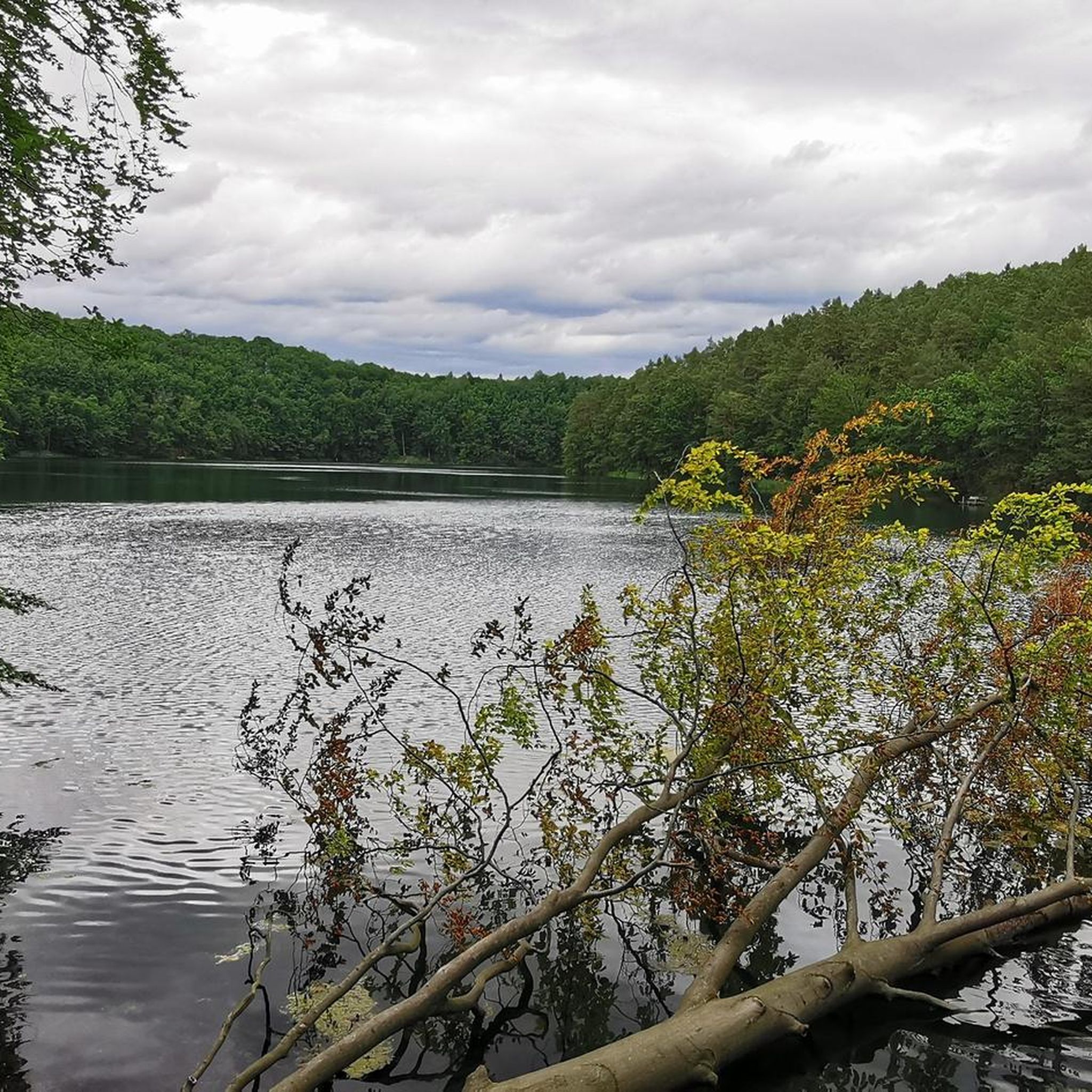
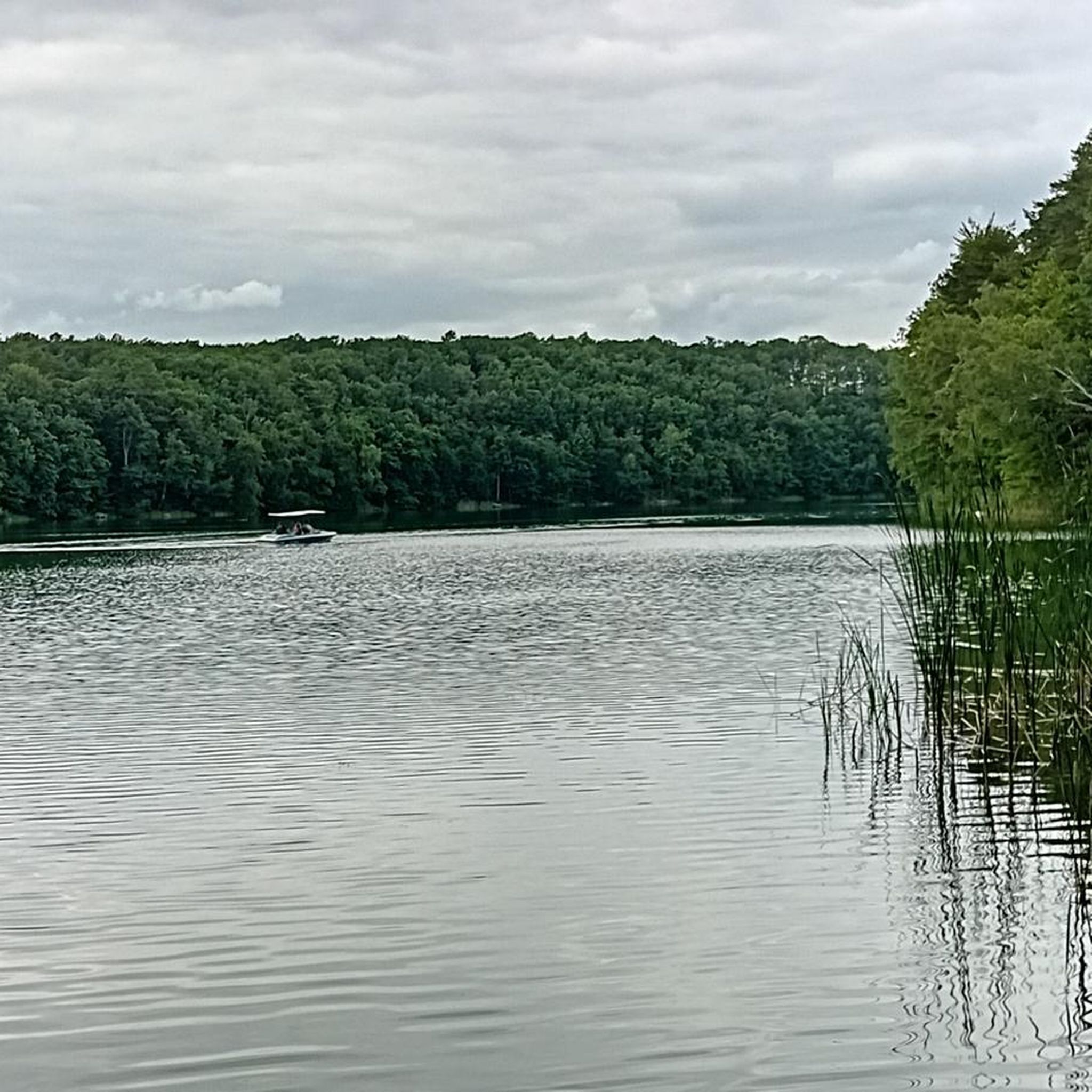
The park is known for its scenic lakes, including Trześniowskie, Łagowskie, Buszno, and Buszenko, which are often bordered by reeds and steeply falling banks. You can find beautiful views along the Lake Trześniowskie (Ciecz) – West Shore and near Lake Łagowskie. The Bóbr Peninsula also offers a great viewpoint.
What do other road cyclists say about the routes in Łagowsko-Sulęciński Park Krajobrazowy?
The road cycling routes in Łagowsko-Sulęciński Park Krajobrazowy are highly rated by the komoot community, with an average score of 3.6 stars from over 7 reviews. Cyclists often praise the varied terrain, the quiet woodlands, and the picturesque lakes that define the region.
Are there any circular road cycling routes available?
Yes, many of the routes are designed as loops, allowing you to start and finish in the same location. Examples include the Łagów Old Town and Castle – Road from Route 92 to Łagów loop from Rezerwat Pawski Ług and the Sulęcin City Park – Sulęcin City Park loop from Łagów.
Is there any specific area within the park that requires special permission for cycling?
It's important to be aware that a portion of the park, particularly in the northern part around Bukowiec and Lakes Buszno and Buszenko, is within a military training ground. Special permission may be required to access trails in that specific area, so it's advisable to check local regulations before planning your route there.
What is the best time of year for road cycling in Łagowsko-Sulęciński Park Krajobrazowy?
While specific seasonal data isn't provided, the diverse landscape with forests and lakes suggests that spring and autumn would offer pleasant temperatures and beautiful scenery. Summer can also be enjoyable, especially with the shade provided by the extensive woodlands. Always check local weather conditions before your ride.
Are there any specific points of interest related to water bodies along the routes?
Absolutely. The park is characterized by its numerous lakes. You can find highlights such as Łagowa River and lakeside dock in Łagowsko-Sulęciński Landscape Park, and the Singletrack by Lake Ciecz, which is another name for Lake Trześniowskie.
Most popular routes around Łagowsko-Sulęciński Park Krajobrazowy
Most popular attractions around Łagowsko-Sulęciński Park Krajobrazowy

Get inspired with the komoot mobile app


Explore more
Browse the best Road cycling routes in other regions.
