The best road cycling routes around Narrillos Del Rebollar
5.0
(1)
114
riders
6
rides
Road cycling routes around Narrillos Del Rebollar are set within a mountainous "serrano" landscape on the northern slope of the Sierra de Ávila. The region is characterized by significant altitude, with the village itself at 1,379 meters, and features abundant granite formations and winding roads. This terrain provides a challenging environment for road cyclists, including notable climbs and descents. The area offers panoramic views of the Sierra de Ávila and La Serrota, with key features like the Cerro de Gorría…
Last updated: July 29, 2026
40
riders
62.1km
02:56
660m
660m
Moderate road ride. Good fitness required. Mostly well-paved surfaces and easy to ride.
19
riders
76.9km
03:51
1,110m
1,110m
Hard road ride. Very good fitness required. Mostly well-paved surfaces and easy to ride.

Sign up for free
11
riders
89.9km
04:42
1,450m
1,450m
Hard road ride. Very good fitness required. Mostly well-paved surfaces and easy to ride.
6
riders
61.2km
03:10
1,090m
1,090m
Hard road ride. Very good fitness required. Mostly well-paved surfaces and easy to ride.
3
riders
46.8km
02:17
610m
610m
Moderate road ride. Good fitness required. Mostly well-paved surfaces and easy to ride.
Our route recommendations are based on thousands of hikes, rides, and runs completed by other people on komoot.
Start today with a free account
Your next adventure awaits.
Login or Signup
Popular around Narrillos Del Rebollar
Tips from the Community

The park extends between the bridge over the Chico River, the extension of Nuestra Señora de Sonsoles Street, and the Burgohondo road bridge, bordering Juan Pablo II Avenue. One of the most popular routes is the circular route from the Roman Bridge over the Adaja River, ideal for easy walks and enjoying the park's natural surroundings.
1
0
The Walls of Ávila are an impressive medieval fortification that surrounds the old town of Ávila, in Castile and León. These walls, built in the 11th century, are one of the best-preserved walled enclosures in Spain and were declared a UNESCO World Heritage Site in 1985.
11
0
This bridge was built to facilitate crossing the Adaja River and connect the Roman city of Ávila with the opposite bank. Although only the hidden abutments on the edges of the original Roman bridge remain, the bridge visible today dates back to the 12th century.
13
0

In the southwest area of the city.
0
1
The truth is that it is a wonderful viewpoint of Ávila.
1
0

Anyone visiting Avila should definitely visit this viewpoint. You won't find a better view of Avila and especially the imposing wall.
1
0
Old Roman bridge that is well preserved and still allows visitors to walk across the river. It's impressive how well the Romans built these structures and how well they were planned to still stand 2000 years later. There's not much to see on the other side, but there are nice views of the western side of the walled city
1
0

The green lung of the city, the Chico River, a tributary of the Adaja River, provides an incredible activity space for walking, running and cycling. Enjoy the natural outdoor space away from cars and traffic.
1
0
Frequently Asked Questions
What kind of terrain can I expect on road cycling routes around Narrillos Del Rebollar?
The region offers a challenging mountainous "serrano" landscape, characterized by significant altitude and abundant granite formations. You'll encounter winding and sinuous roads, with notable climbs and descents, providing a demanding experience for road cyclists. The area is situated on the northern slope of the Sierra de Ávila, with the village itself at 1,379 meters.
How many road cycling routes are available in Narrillos Del Rebollar?
There are 5 road cycling routes detailed in this guide for Narrillos Del Rebollar, ranging from moderate to difficult. These routes are highly rated by the komoot community, with an average score of 5.0 stars.
Are there any challenging road cycling routes for experienced riders?
Yes, Narrillos Del Rebollar offers several challenging routes. For instance, the Las Fuentes Pass – Puerto de Villatoro loop from La Torre is a difficult 55.9-mile (89.9 km) trail that takes you through mountainous terrain and over the Puerto de las Fuentes. Another difficult option is the San Juan del Olmo – Las Fuentes Pass loop from Muñico, covering 61.1 miles (61.1 km) with over 1000 meters of elevation gain.
What are some scenic viewpoints or natural features to look out for while cycling?
The routes offer stunning panoramic views of the Sierra de Ávila, La Serrota, and the flatlands of La Moraña. You'll also see whimsical granite formations and rocky outcrops throughout the landscape. Key natural features include the imposing Cerro de Gorría and the Las Fuentes Pass, which is a prominent mountain pass in the area.
Are there any moderate road cycling routes suitable for less experienced riders?
Absolutely. The Convento de San José – Views of Ávila loop from Muñogalindo is a moderate 39.2-mile (63.1 km) route offering expansive views. Another great moderate option is the Sancti Spiritu Bridge – Views of Ávila loop from Padiernos, a 26.2-mile (42.1 km) path traversing areas with distinctive granite formations and scenic vistas.
What is the best time of year for road cycling in Narrillos Del Rebollar?
Given the region's altitude and mountainous terrain, spring and autumn generally offer the most pleasant conditions for road cycling, with cooler temperatures than the peak summer months. These seasons also provide beautiful natural scenery. Always check local weather forecasts before heading out.
Are there any cultural points of interest along the cycling routes?
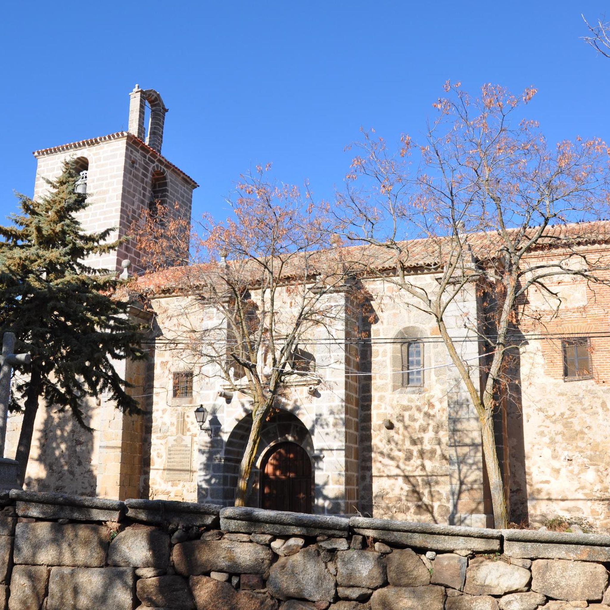
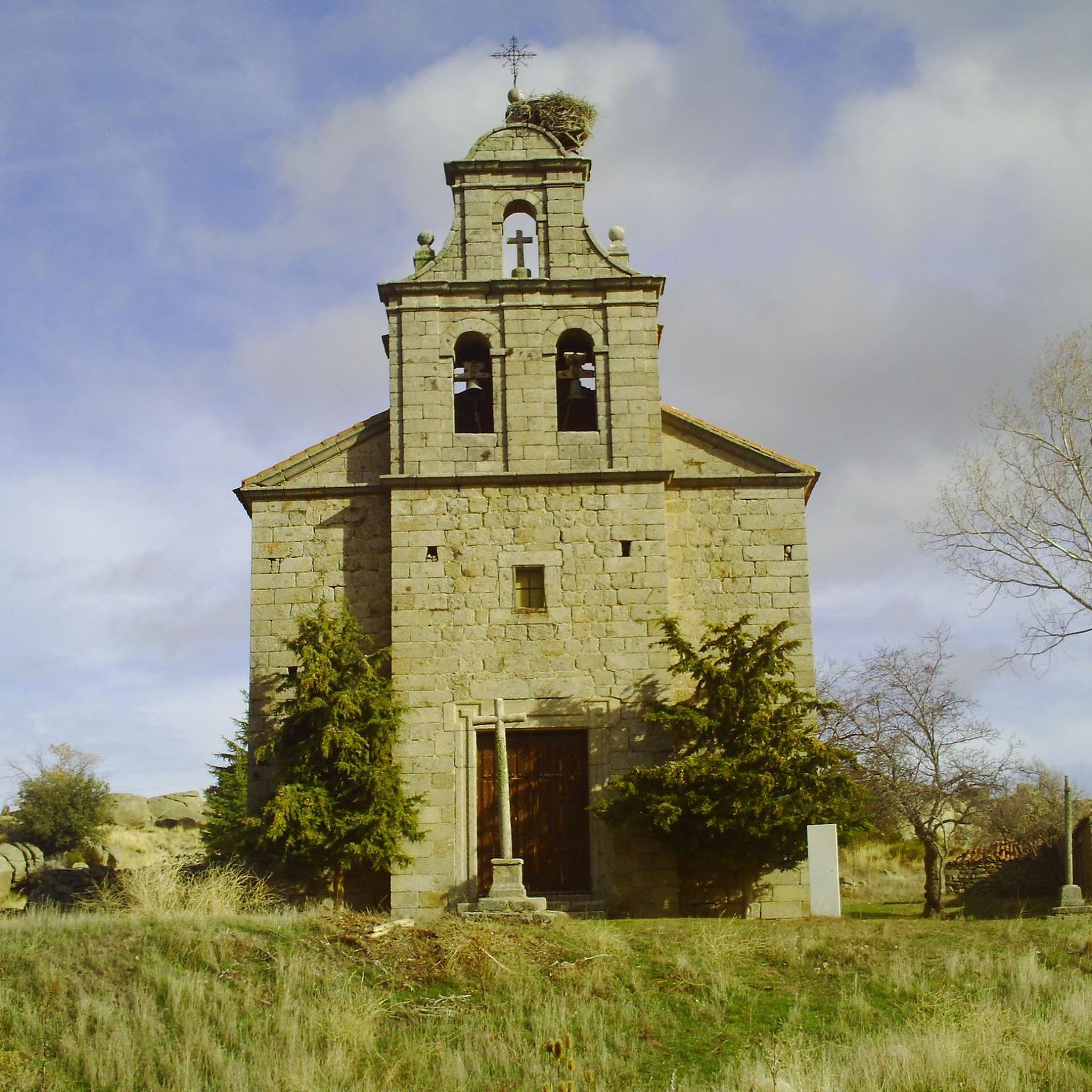
Yes, amidst the natural scenery, you can find cultural points of interest. The Hermitage of Our Lady of Rihondo and the Iglesia de Santo Domingo de Guzmán are notable attractions. The village of Muñogalindo is also a highlight along some routes.
Are the road cycling routes in Narrillos Del Rebollar typically loop routes?
Yes, many of the featured road cycling routes in this guide are designed as loops, allowing you to start and finish in the same general area. Examples include the Convento de San José – Views of Ávila loop from Muñogalindo and the Las Fuentes Pass – Puerto de Villatoro loop from La Torre.
What do other road cyclists enjoy most about cycling in Narrillos Del Rebollar?
The area is highly rated by the komoot community, with an average score of 5.0 stars. Cyclists often praise the challenging climbs, the stunning panoramic views of the Sierra de Ávila, and the unique mountainous landscape dotted with granite formations. The sense of solitude and the wild charm of the region are also frequently highlighted.
Are there any family-friendly road cycling options in Narrillos Del Rebollar?
While the region is known for its challenging, mountainous terrain, some of the moderate loop routes, such as the Sancti Spiritu Bridge – Views of Ávila loop from Padiernos, might be suitable for families with older, more experienced children who are comfortable with road cycling and some elevation changes. Always assess the route's difficulty and your family's fitness level before embarking.
Where can I find parking for road cycling in Narrillos Del Rebollar?
While specific parking areas are not detailed in the route descriptions, villages like Narrillos Del Rebollar and other starting points for the routes (e.g., Muñogalindo, Padiernos, La Torre, Muñico) typically offer public parking options. It's advisable to check local village maps or signs upon arrival for designated parking spots.
What is the typical length of road cycling routes in this area?
The road cycling routes around Narrillos Del Rebollar vary in length. For example, you can find routes like the Sancti Spiritu Bridge – Views of Ávila loop from Padiernos at 26.2 miles (42.1 km), up to longer, more challenging rides such as the Las Fuentes Pass – Puerto de Villatoro loop from La Torre which is 55.9 miles (89.9 km) long.
Most popular routes around Narrillos Del Rebollar
Most popular attractions around Narrillos Del Rebollar

Get inspired with the komoot mobile app


Explore more
Browse the best Road cycling routes in other regions.
