The best running trails around Campillo De Arenas
4.0
(1)
51
runners
8
runs
Jogging around Campillo De Arenas offers an opportunity to explore the diverse landscapes of the Sierra Mágina Natural Park. The region is characterized by rugged limestone terrain, high summits, and significant botanical interest, providing varied environments for running. Trails often lead through Mediterranean forests of holm oaks and junipers, alongside scenic reservoirs, and through dramatic gorges. This setting ensures a range of natural features for outdoor exercise and exploration.
Best jogging routes around Campillo De Arenas
- The most popular jogging…
Last updated: October 30, 2026
4
runners
9.79km
01:19
420m
430m
7
runners
6.18km
00:49
240m
250m
Moderate run. Good fitness required. Mostly paved surfaces.

4.0
(1)
8
runners
17.8km
01:57
350m
350m
Hard run. Very good fitness required. Mostly paved surfaces.
10
runners
9.05km
01:16
410m
410m
Hard run. Very good fitness required. Mostly paved surfaces.
Get access to more routes and recommendations from other explorers.
Already have an account?
Our route recommendations are based on thousands of hikes, rides, and runs completed by other people on komoot.
Start today with a free account
Your next adventure awaits.
Tips from the Community

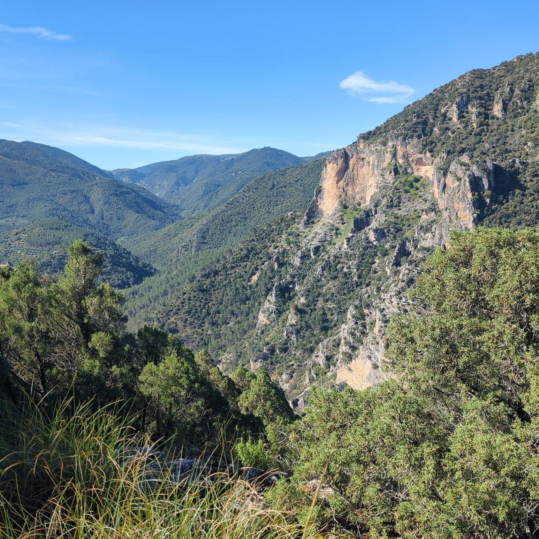
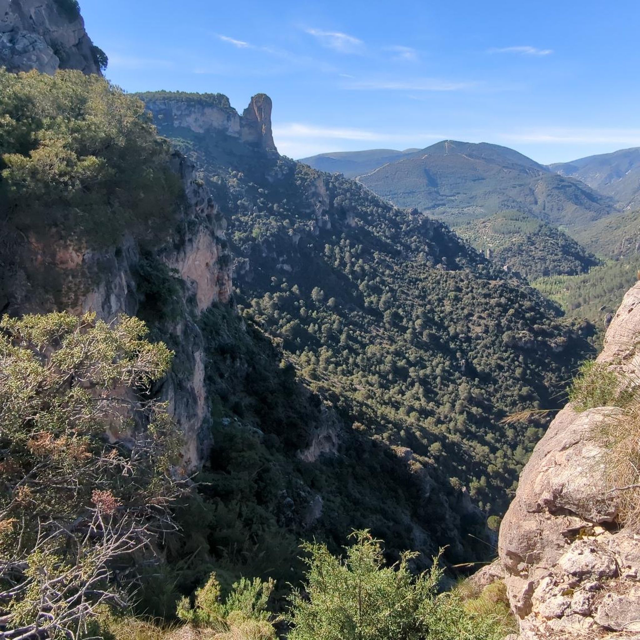
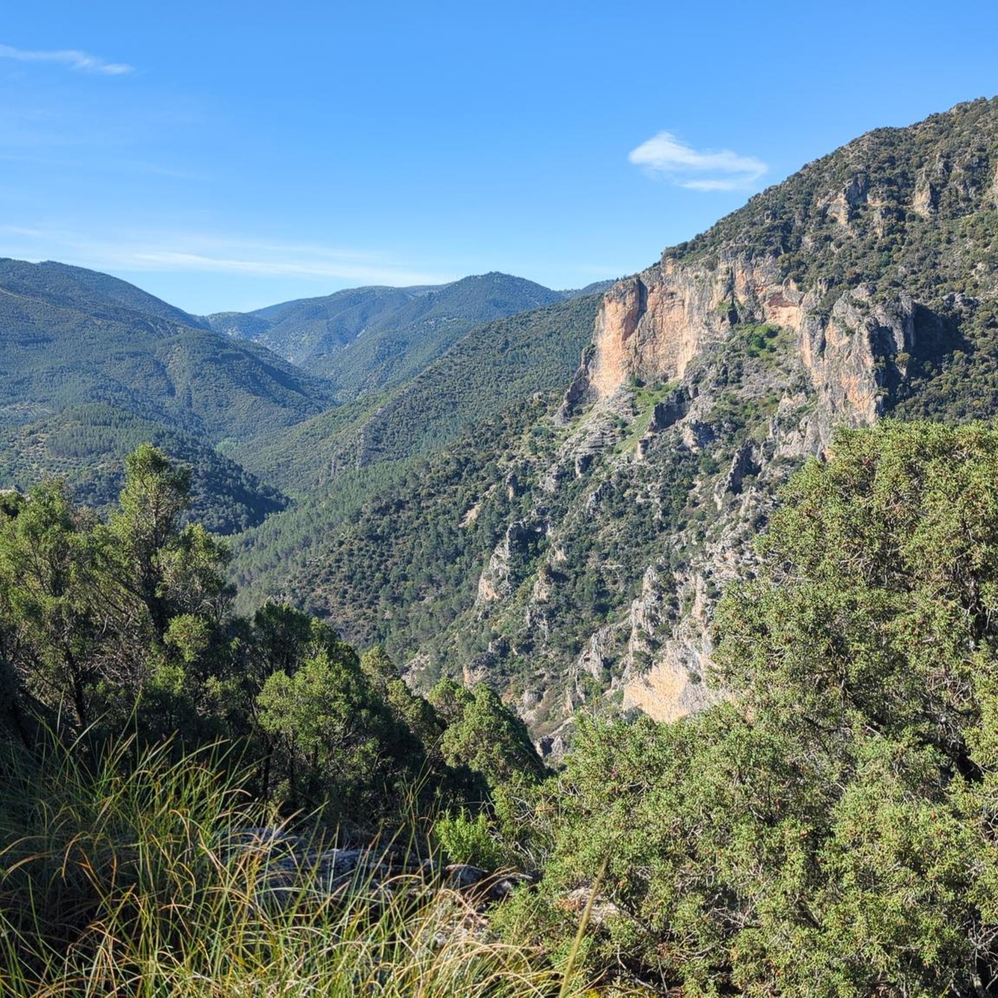
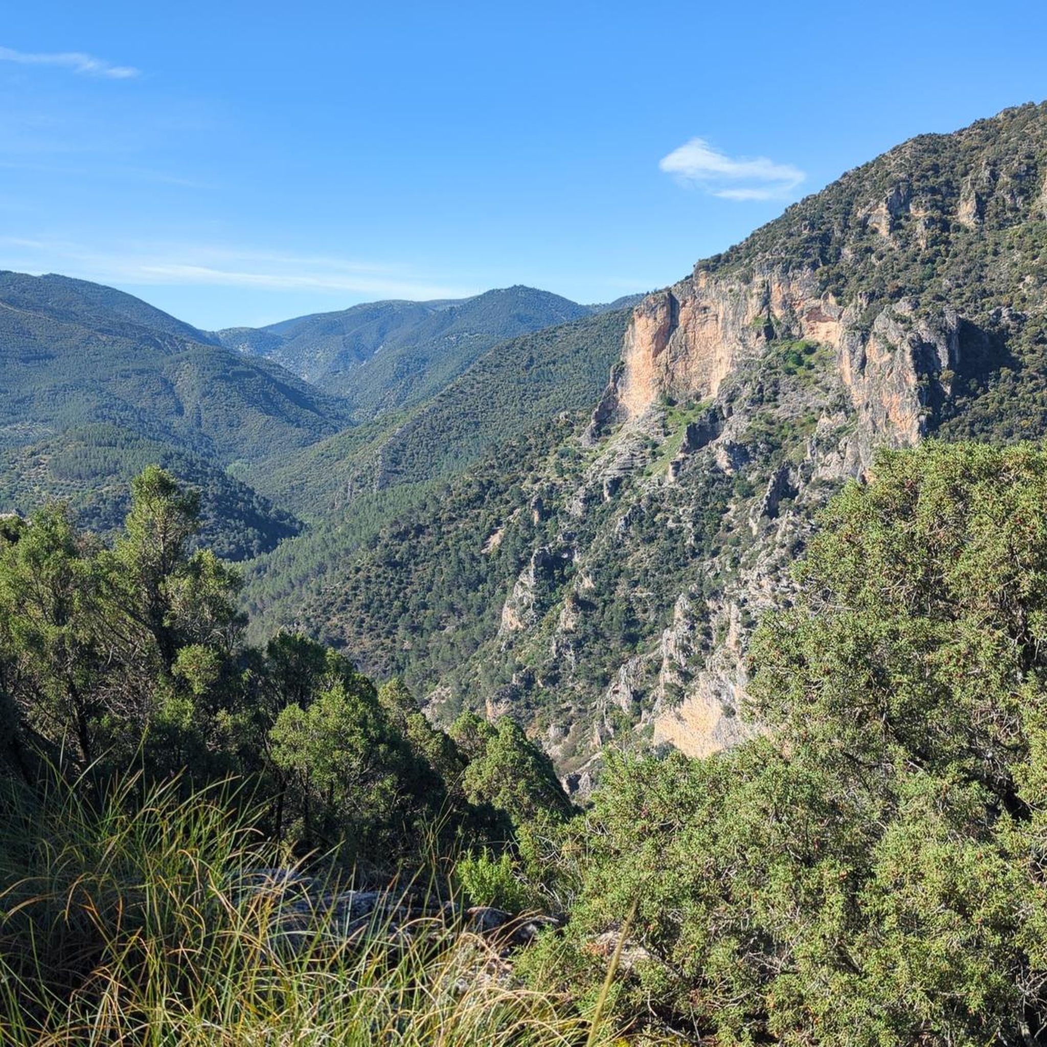
From this viewpoint, you can contemplate the impressive views of the Quiebrajano valley, the Otiñar, and the horizon can be seen: the Jabalcuz mountain range, Jaén, and the majestic La Pandera mountain range.
1
0
It is an easy and pleasant trail through trees that leads to the Chimba peak. In some sections the views of the rocky walls and the ledges of the surrounding mountains are incredible.
0
0


The Quiebrajano reservoir is located about 25 km from the capital, and is used to store water for human consumption, which is why bathing or the use of boats is not permitted. Currently you cannot access the viewpoint without knowing the reason for such prohibition.
3
0
The Otiñar watchtower is a construction intended to control the border crossings between Catholic and Muslim Spain, through the valley of the Quiebrajano River. Today the tower and much of the original construction from the 12th-14th centuries are preserved in good condition.
3
0
It is a structure built to provide elevation and enjoy the views of the Quiebrajano dam. It has usually been closed to the public for a few months, but fortunately at that time the access doors were open.
12
0
It is the third and longest tunnel that crosses part of the mountain where the Quiebrajano dam is located, and it is drilled into the rock of the same mountain.
12
0
It is the second of the three tunnels that give access to the Quiebrajano reservoir
12
0
Frequently Asked Questions
What types of running routes can I find in Campillo de Arenas?
Campillo de Arenas, nestled within the Sierra Mágina Natural Park, offers a diverse range of running routes. You'll find trails characterized by rugged limestone terrain, dense Mediterranean forests, and scenic reservoir areas. The region provides options for various ability levels, from moderate loops to more challenging routes with significant elevation gains.
Are there any easy or moderate running trails suitable for beginners or a relaxed jog?
While many routes in the area present a challenge, there are moderate options available. For instance, the La Charca de Pegalajar loop from Pegalajar is a moderate 7.3 km path offering scenic views around the reservoir. Another moderate option is the Cruz de la Calamba Refuge – Cruz de la Chimba Refuge loop from Cerro Montañes, which covers 6.1 km.
What natural landmarks or points of interest can I see while running in Campillo de Arenas?
The region is rich in natural beauty. You can explore areas like the dramatic Puerta Arenas Gorge with its towering limestone walls, or the scenic Quiebrajano Reservoir. For specific highlights, consider visiting the View of Quiebrajano Reservoir or the picturesque La Charca de Pegalajar. Nature enthusiasts might also discover the Fuente Cabra waterfall.
Are there any circular running routes in the area?
Yes, many of the running routes around Campillo de Arenas are designed as loops, allowing you to start and finish in the same location. Examples include the La Charca de Pegalajar loop from Pegalajar and the Cruz de la Calamba Refuge – Cruz de la Chimba Refuge loop from Cerro Montañes.
What is the best time of year to go running in Campillo de Arenas?
Given its mountainous setting in the Sierra Mágina region, Campillo de Arenas can experience snow-capped summits in winter. For comfortable running conditions, spring and autumn generally offer milder temperatures and vibrant landscapes. Summer can be hot, so early morning or late afternoon runs are advisable. Always check local weather forecasts before heading out.
Are the running trails in Campillo de Arenas suitable for families?
The suitability for families depends on the specific route and the family's fitness level. While some trails are challenging, recreational areas like La Peñuela, just 2.5 km from town, offer welcoming picnic spots and viewpoints, making them ideal starting or ending points for shorter, easier jogs or walks with children. Look for moderate-difficulty loop trails for a balanced family experience.
What are the parking options for accessing running routes?
Many trailheads are accessible by car. Recreational areas such as La Peñuela and the Puerta Arenas Gorge recreational area are known to provide facilities, which often include parking. It's always recommended to check specific route details for the most convenient parking spots.
Can I reach any running trails using public transport?
While Campillo de Arenas is a municipality, direct public transport links to specific trailheads within the natural park can be limited. It's advisable to check local bus schedules for routes connecting to the town center, and then plan for a short drive or walk to reach your desired starting point for a run. For areas like La Peñuela or Puerta Arenas Gorge, local transport options might be available or a short taxi ride could be an alternative.
Are dogs allowed on the running trails in Campillo de Arenas?
As Campillo de Arenas is part of the Sierra Mágina Natural Park, regulations regarding dogs on trails typically require them to be kept on a leash to protect wildlife and ensure the safety of other visitors. It's always best to respect local signage and park guidelines when running with your dog.
How many running routes are available around Campillo de Arenas?
There are at least 8 dedicated running routes detailed for the Campillo de Arenas area, with 4 classified as moderate and 4 as difficult. These routes are popular among the komoot community, with over 50 runners having explored the varied terrain.
What makes running in Campillo de Arenas unique compared to other regions?
Running in Campillo de Arenas offers a unique experience due to its integration into the Sierra Mágina Natural Park. You'll encounter rugged, steep limestone terrain, often snow-capped in winter, and significant botanical interest with hardy, unique plants. The diverse landscape includes dramatic gorges like Puerta Arenas, serene reservoirs such as Quiebrajano, and Mediterranean forests, providing a truly immersive natural environment for your run.
Most popular attractions around Campillo De Arenas

Get inspired with the komoot mobile app


Explore more
Browse the best Running Trails & Routes in other regions.
