The best walks and hikes around Alfara Del Patriarca
4.6
(831)
9,642
hikers
375
hikes
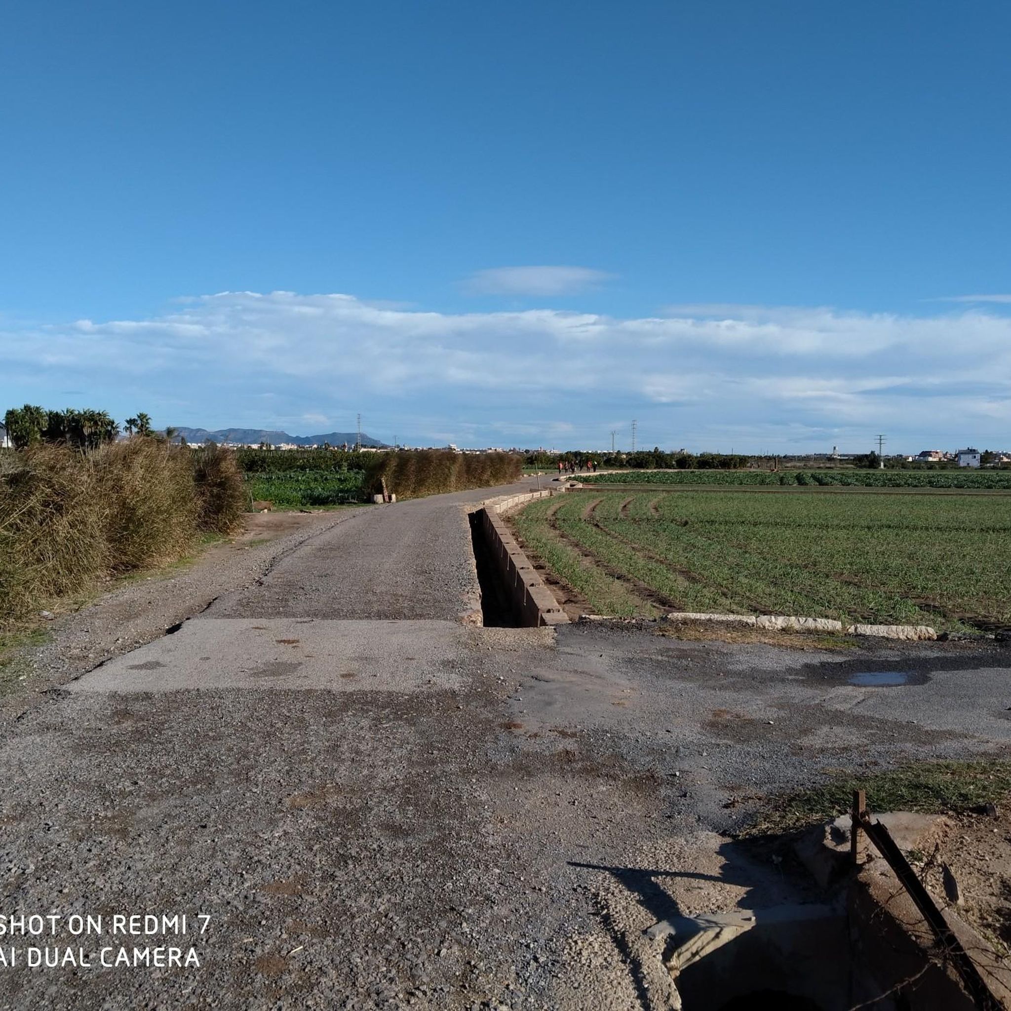
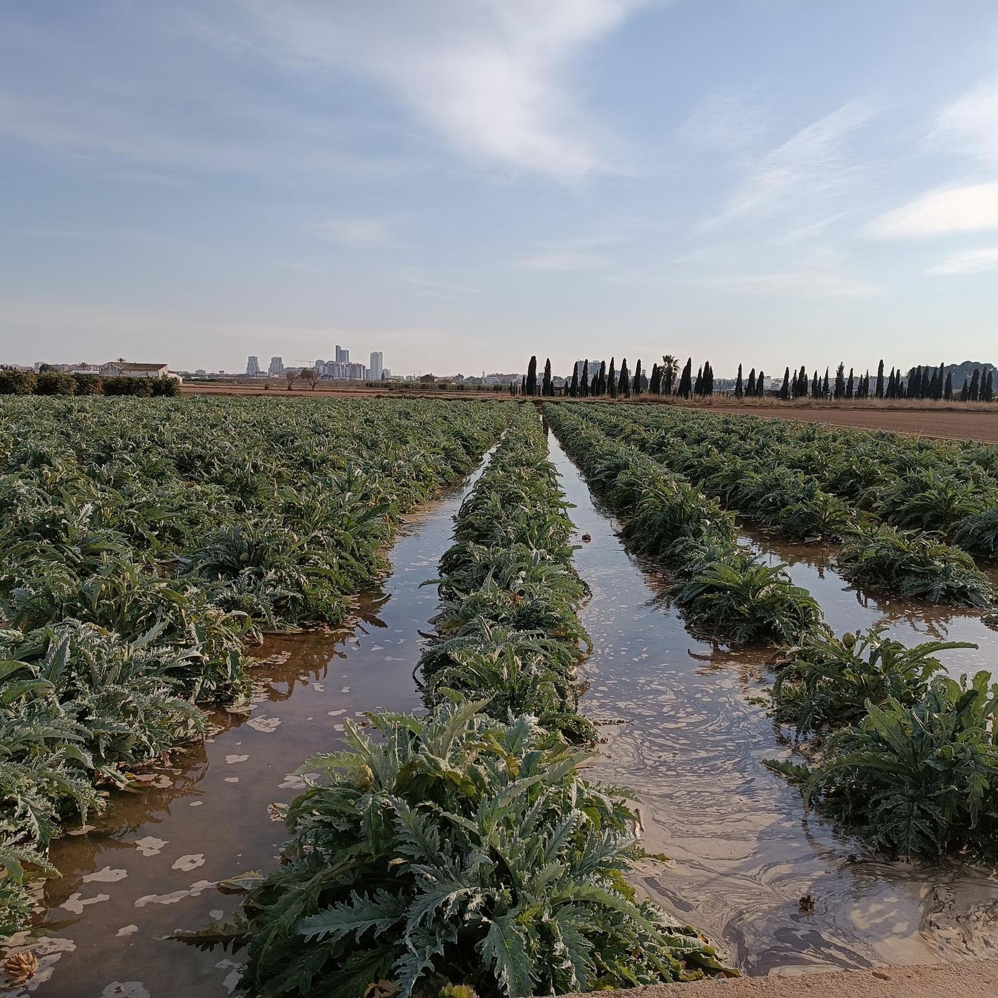
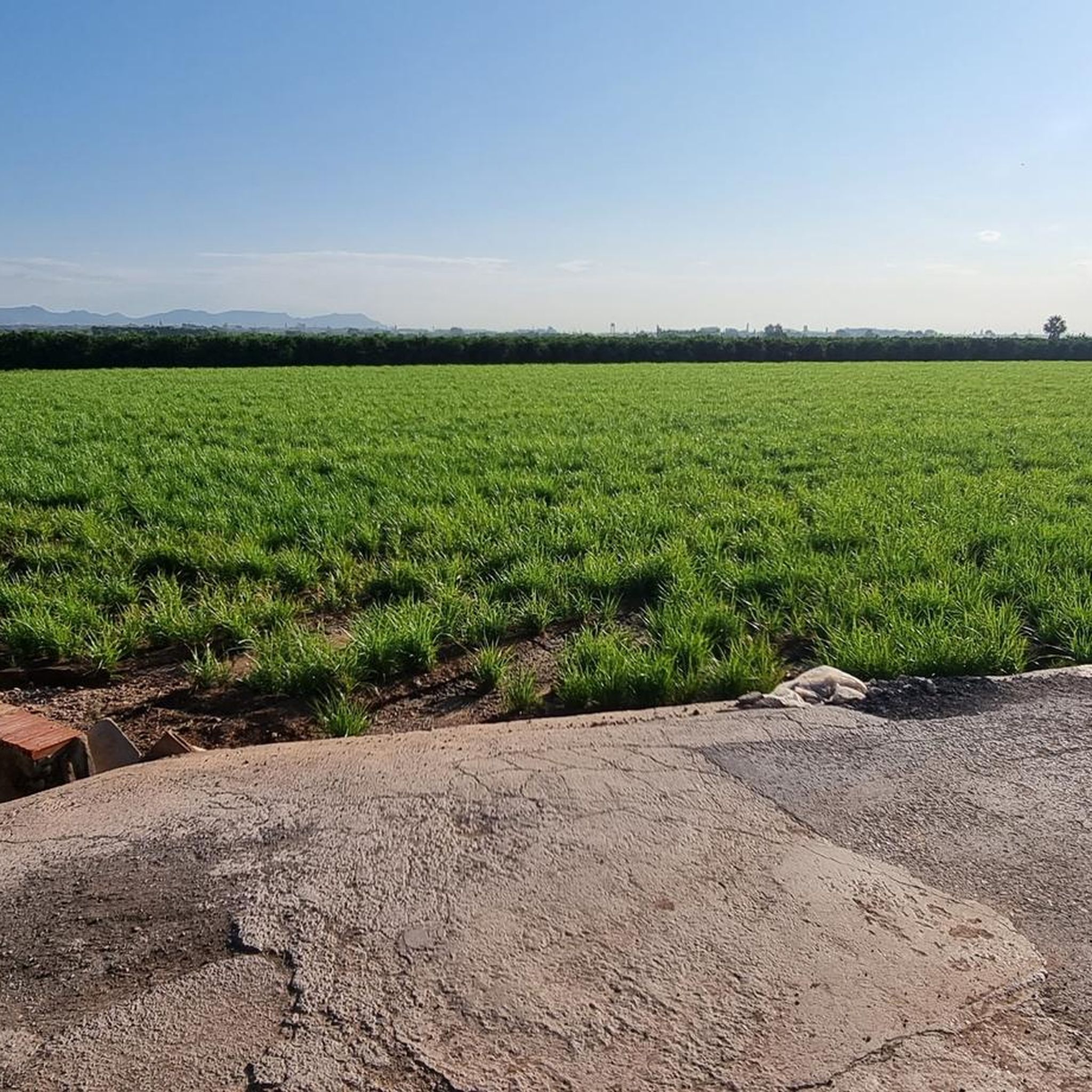
Hiking around Alfara Del Patriarca offers access to a network of trails characterized by flat terrain and proximity to water features. The landscape primarily consists of agricultural areas, riverbeds, and urban-fringe environments, with minimal elevation changes. This region provides accessible walking routes suitable for various activity levels, often connecting local towns and points of interest.
Best hiking trails around Alfara Del Patriarca
- The most popular hiking route is Hermitage of the Little Fish – Port Saplaya loop from Foios,…
Last updated: May 11, 2026
5.0
(2)
28
hikers
14.4km
03:39
30m
30m
Moderate hike. Good fitness required. Easily-accessible paths. Suitable for all skill levels.
3.8
(6)
35
hikers
8.76km
02:13
20m
20m
Moderate hike. Good fitness required. Easily-accessible paths. Suitable for all skill levels.

Sign up for free
5.0
(1)
22
hikers
6.24km
01:35
10m
10m
Easy hike. Great for any fitness level. Easily-accessible paths. Suitable for all skill levels.
5.0
(2)
15
hikers
5.73km
01:27
20m
20m
Easy hike. Great for any fitness level. Easily-accessible paths. Suitable for all skill levels.
13
hikers
Moderate hike. Good fitness required. Easily-accessible paths. Suitable for all skill levels.
Get access to more routes and recommendations from other explorers.
Sign up for free
Already have an account?
Our route recommendations are based on thousands of hikes, rides, and runs completed by other people on komoot.
Start today with a free account
Your next adventure awaits.
Login or Signup

Tips from the Community


Port Saplaya is located about 10 km outside of Valencia. Beautiful harbor. Great layout. You can walk all the way around the inner harbor.
0
0

The pretty little church and the semicircle of idiosyncratic holiday homes complement the beach visit here.
0
0

Port Saplaya (Valencian: Port Saplatja) is the name of a coastal district in the municipality of Alboraya, in the province of Valencia, Comunidad Valenciana, in Spain. In 2023, it had a population of 2,045 inhabitants, according to the INE.[1] It is known for its beaches and its peculiar urban planning, which has earned it the tourist nickname of "Little Venice".
0
0

Framed by a chapel and a small hippie-style holiday settlement, the small river flows into the sea.
0
0

The Barranc del Carraixet or Río Sec originates in Gàtova, collects the waters of the southern slope of the Calderona mountain range and, after a journey of around 45 km, flows into the sea via Alboraia. It is generally dry throughout most of the year, with the exception of the lower part of Alboraia.
1
0
Frequently Asked Questions
How many hiking trails are available around Alfara Del Patriarca?
There are over 380 hiking routes available around Alfara Del Patriarca. These include 222 easy routes, 150 moderate routes, and 11 more challenging trails, ensuring options for various fitness levels.
What is the typical terrain like for hiking in Alfara Del Patriarca?
The terrain around Alfara Del Patriarca is primarily characterized by flat agricultural areas, riverbeds, and urban-fringe environments. You can expect minimal elevation changes, making many routes accessible and suitable for relaxed walks.
Are there any family-friendly hiking options in Alfara Del Patriarca?
Yes, the region offers many family-friendly routes due to its generally flat terrain. Trails like the Horchatería Vida – Puente de los Patos loop from Meliana are easy and suitable for families looking for a pleasant walk through agricultural landscapes.
Can I find circular hiking routes in Alfara Del Patriarca?
Yes, many of the trails around Alfara Del Patriarca are circular. For example, the Carraixet Ravine loop from Montcada is an easy circular route that allows you to start and finish at the same point.
What kind of natural features or landmarks can I expect to see on hikes?
Hikes in this area often feature river paths and agricultural scenery. You can also explore nearby natural attractions such as the Rafalell and Vistabella Marsh or the Marjal de la Pobla de Farnals, which offer unique wetland ecosystems.
Are there any interesting places to explore near the hiking trails?
Beyond the trails, you can visit cultural and historical sites. Notable attractions include the iconic City of Arts and Sciences, the historic Plaza de la Virgen, and the impressive Valencia Cathedral, all accessible from the Alfara Del Patriarca area.
What do other hikers say about the trails in Alfara Del Patriarca?
The trails in Alfara Del Patriarca are highly rated by the komoot community, with an average score of 4.6 stars from over 800 reviews. Hikers often praise the accessible paths, the peaceful agricultural landscapes, and the proximity to water features.
Are there any Vías Verdes (greenways) accessible from Alfara Del Patriarca?
While there isn't a Vía Verde directly in Alfara Del Patriarca, the region's flat and well-maintained paths along riverbeds and through agricultural areas offer a similar experience to greenways, ideal for relaxed walking and cycling.
What is the best time of year to go hiking in Alfara Del Patriarca?
The best time to hike in Alfara Del Patriarca is typically during the spring and autumn months when temperatures are milder. Summers can be quite hot, and while winters are generally mild, some days might be cooler and wetter.
Is public transport available to reach hiking trailheads from Alfara Del Patriarca?
Alfara Del Patriarca is well-connected to the wider Valencia metropolitan area by public transport, including bus routes. This allows for convenient access to various trailheads and nearby towns, making it possible to plan walks without a car.
Where can I find parking for hiking trails around Alfara Del Patriarca?
Parking is generally available in and around the towns that serve as starting points for many trails, such as Foios or Meliana. Specific parking information for individual routes can often be found on their respective komoot tour pages.
Are there any cafes or places to eat near the hiking routes?
Yes, many routes pass through or near local towns like Meliana or Foios, where you can find cafes, restaurants, and horchaterías (traditional Valencian tiger nut milk shops) to refuel before or after your hike. The Horchatería Vida – Puente de los Patos loop from Meliana, for instance, starts near such establishments.
Most popular routes around Alfara Del Patriarca
Most popular attractions around Alfara Del Patriarca

Get inspired with the komoot mobile app


Explore more
Browse the best Hikes in other regions.
