The best road cycling routes around Munera
3.0
(2)
48
riders
6
rides
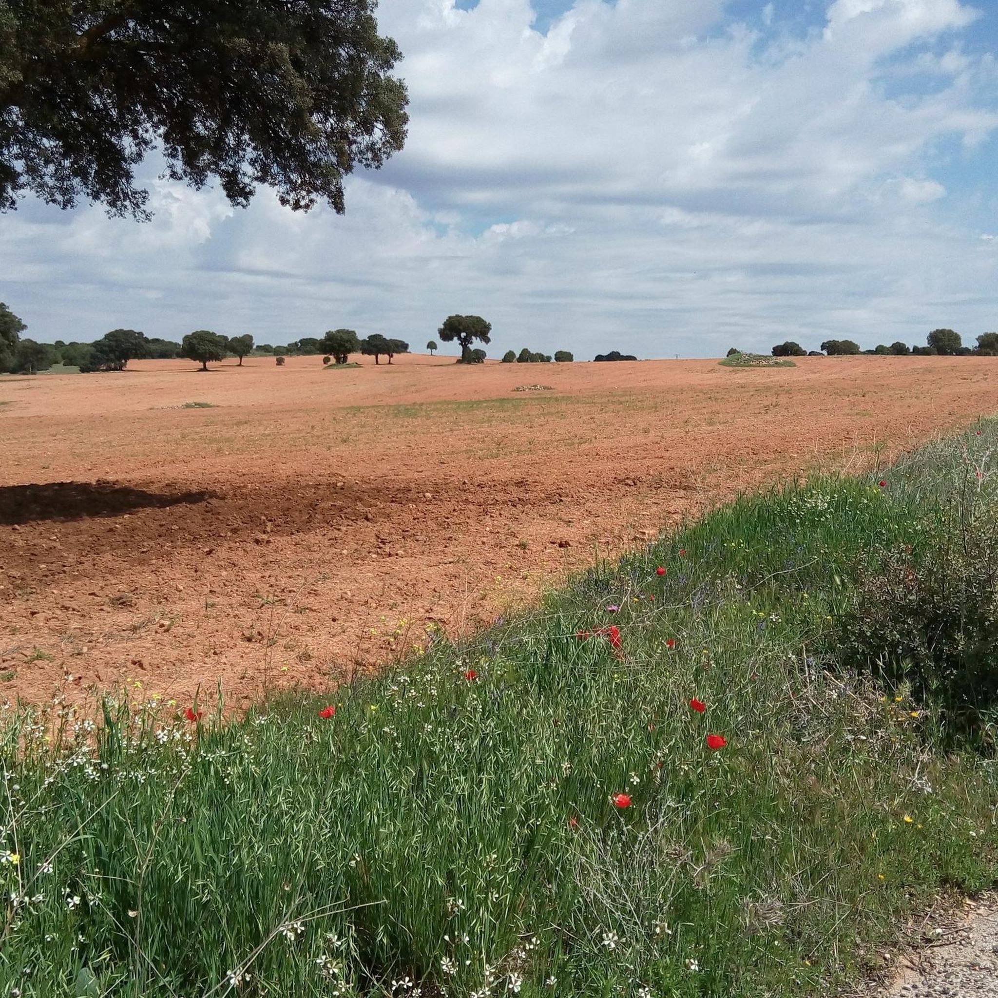
Road cycling routes around Munera offer access to the diverse landscapes of Spain's Castilla-La Mancha region, situated within the Campo de Montiel comarca. The terrain primarily features vast, peaceful country roads across the La Mancha plains, providing a mix of flat, undulating, and sometimes hilly sections. This area is characterized by extensive vineyards, particularly around Tomelloso, and is part of the historic Ruta del Quijote.
Best road cycling routes around Munera
- The most popular road cycling route is Alcaraz –…
Last updated: September 30, 2026
17
riders
80.4km
03:34
730m
730m
Moderate road ride. Good fitness required. Mostly well-paved surfaces and easy to ride.
10
riders
90.0km
03:49
600m
600m
Moderate road ride. Good fitness required. Mostly well-paved surfaces and easy to ride.

7
riders
55.3km
02:28
500m
500m
Moderate road ride. Good fitness required. Mostly well-paved surfaces and easy to ride.
3.0
(1)
5
riders
33.5km
01:31
330m
330m
Moderate road ride. Good fitness required. Mostly well-paved surfaces and easy to ride.
3.0
(1)
6
riders
37.7km
01:43
400m
400m
Moderate road ride. Good fitness required. Mostly well-paved surfaces and easy to ride.
Our route recommendations are based on thousands of hikes, rides, and runs completed by other people on komoot.
Other adventures around Munera

Tips from the Community

The town center of Ossa de Montiel develops along a gentle slope in the province of Albacete, in Castilla-La Mancha (Spain). The hub of town life and the ideal starting point for exploring the locality is Plaza de la Constitución
0
1

The King's Lagoon, one of the most emblematic lagoons in the Ruidera Lakes Natural Park: It is located within the municipality of Ruidera (Ciudad Real), at the main entrance to the natural park. It is one of the first lagoons you see when traveling through the park by road, very close to the town of Ruidera. It stands out for the turquoise color of its waters, which in some places are reminiscent of the Caribbean. It is photogenic and easily accessible, ideal for those looking for a place to relax or take a swim. The bottom is clearly visible thanks to the water's transparency.
6
0
The Mirador de la Laguna de San Pedro viewpoint is located in the Lagunas de Ruidera Natural Park, within the municipality of Ossa de Montiel (Albacete). It is one of the most spectacular viewpoints for admiring this group of lagoons.
5
0
Laguna del Rey is one of the most emblematic lagoons in the Lagunas de Ruidera Natural Park, located within the municipality of Ruidera (Ciudad Real). It lies just outside the town of Ruidera, and is one of the first lagoons encountered when traveling through the park by road. It is easily accessible by car, although parking near the water can be difficult during peak season.
4
0
What to see in Ossa de Montiel Parish Church of Santa María Magdalena A 16th-century Gothic building with a Mudéjar roof, declared a Site of Cultural Interest. Rochafrida Castle An 11th-12th century medieval fortress, steeped in legend and linked to the Don Quixote Route. Montesinos Cave A karst cave famous for its appearance in Don Quixote. Access is only with a guide; it is home to bat colonies and curious rock formations.
6
0
The Mirador de la Laguna del Rey (King's Lagoon Viewpoint) is one of the most emblematic spots in the Lagunas de Ruidera Natural Park. Located high above the village of Ruidera, it offers a spectacular panoramic view of Laguna del Rey, Laguna de la Colgada, and the Hundimiento area.
5
0
The access road to La Isla in the Lagunas de Ruidera Natural Park, near Ossa de Montiel, is a highlight for those exploring the area by car or bicycle. La Isla is located in the middle lagoon zone, near Laguna de San Pedro and Laguna del Rey, two of the largest and most photogenic lagoons in the park.
6
0
At a depth of 80 metres, on the outskirts of the municipality of Ossa de Montiel (Albacete), lies one of the most legendary places on the Cervantine route in Castilla-La Mancha, where the character Don Quixote suffered the most intense and famous enchantment in world literature. The Cueva de Montesinos has been created over the centuries due to the processes of dissolution of rainwater in the rocks of the area, and a small stream runs through its interior.
14
0
Frequently Asked Questions
What kind of terrain can I expect on road cycling routes around Munera?
The road cycling routes around Munera primarily feature vast, peaceful country roads across the La Mancha plains. You'll encounter a mix of flat, undulating, and sometimes hilly sections, providing varied challenges. The region is also known for its extensive vineyards, offering scenic rides through these agricultural landscapes.
Are there routes suitable for different skill levels?
Yes, the routes around Munera cater to various skill levels. While there are no easy routes listed, you'll find several moderate options, such as the El Hundimiento Waterfall – Laguna del Rey loop from El Bonillo, which covers 90.6 km. For experienced cyclists seeking a challenge, the Alcaraz – Ascent to Catalmerejos loop from El Bonillo is a difficult 139.6 km route with significant elevation gain.
Can I find circular road cycling routes in the Munera area?
Yes, many of the road cycling routes around Munera are designed as loops. For example, the Puente de Munera – Mural of the Wedding of Camacho loop from El Bonillo is a moderate 80.4 km circular trail that takes you through the La Mancha plains.
What natural attractions can I see while road cycling near Munera?
The region offers stunning natural beauty. While cycling, you can experience the vast La Mancha plains and the picturesque vineyards around Tomelloso. The broader area also provides access to the Ruidera Lakes Nature Reserve, a significant attraction featuring a string of fifteen lakes connected by waterfalls and streams, offering beautiful scenery.
Are there any historical or cultural landmarks along the cycling routes?
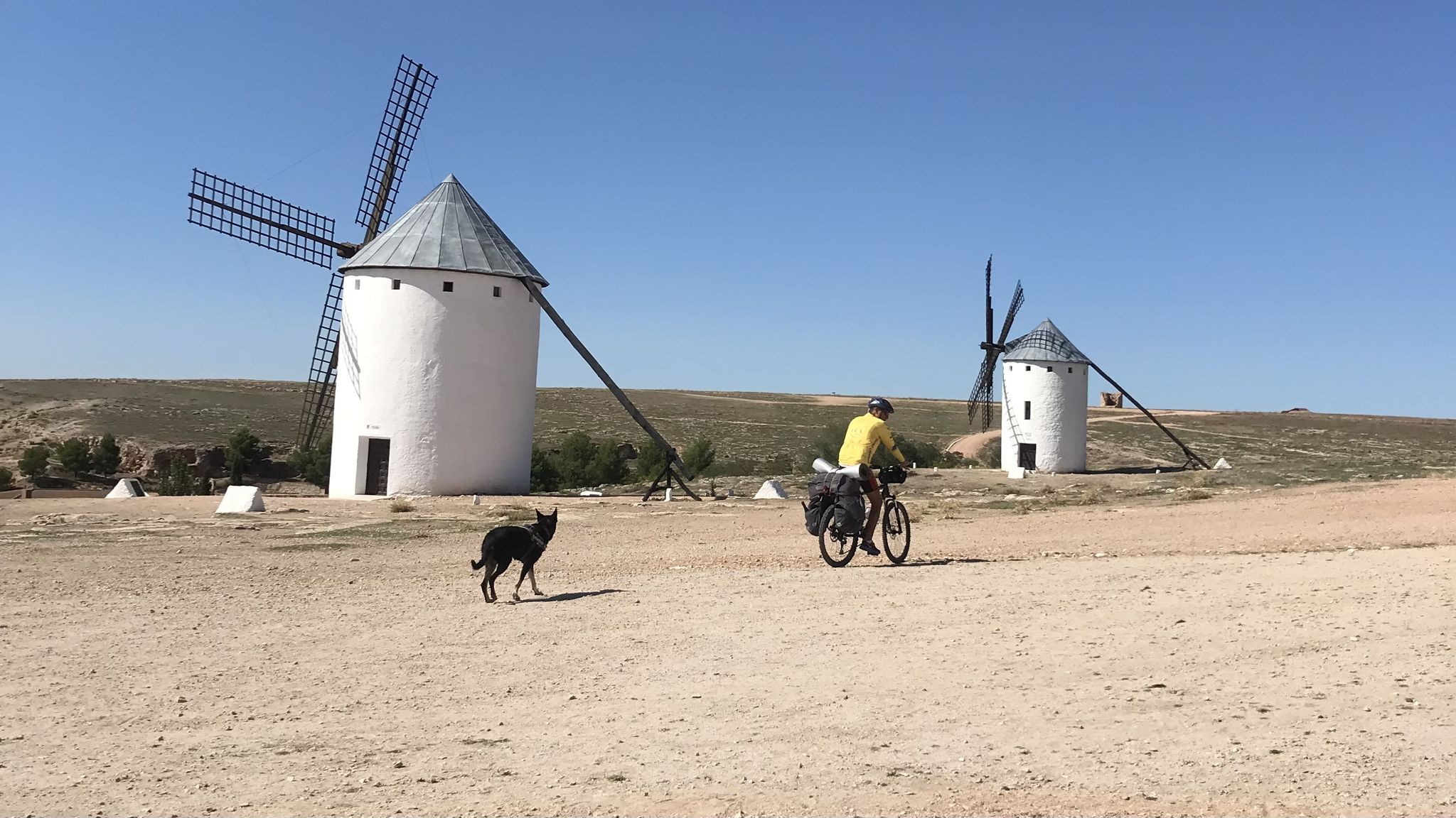
Munera is part of the historic Ruta del Quijote, allowing cyclists to immerse themselves in the literary landscapes that inspired Cervantes. Along the broader route, you can encounter villages known for their iconic hilltop windmills. Within Munera itself, you can visit historical buildings like the 16th-century San Sebastián church and the remains of a medieval castle.
What is the best time of year for road cycling in Munera?
While specific weather data isn't provided, the Castilla-La Mancha region generally experiences hot, dry summers and mild winters. Spring and autumn are typically ideal for outdoor activities like road cycling, offering more comfortable temperatures and pleasant conditions for exploring the plains and vineyards.
What do other road cyclists think about the routes in Munera?
The road cycling routes in Munera are well-regarded by the komoot community, with an average score of 3.0 stars. Over 40 road cyclists have used komoot to explore the varied terrain, often praising the tranquil country roads and the natural scenery of the Campo de Montiel.
Are there any routes that feature waterfalls or natural water features?
Yes, one notable route is the El Hundimiento Waterfall – Laguna del Rey loop from El Bonillo. This moderate 90.6 km path offers scenic views of natural water features, including the El Hundimiento Waterfall, within the broader region's landscape.
How long do the road cycling routes typically take to complete?
The duration of routes varies based on distance and difficulty. For instance, the moderate Puente de Munera – Mural of the Wedding of Camacho loop from El Bonillo (80.4 km) can be completed in about 3 hours 35 minutes, while the more challenging Alcaraz – Ascent to Catalmerejos loop from El Bonillo (139.6 km) typically takes around 6 hours 41 minutes.
What is the longest road cycling route available around Munera?
The longest road cycling route in the area is the Alcaraz – Ascent to Catalmerejos loop from El Bonillo, which spans 139.6 km. This difficult route features significant elevation gain and is designed for experienced cyclists.
Are there options for road cycling through vineyards?
Absolutely. The region around Munera is renowned for its extensive vineyards, particularly near Tomelloso. Many routes will take you through these areas, offering a unique cultural and scenic experience as you cycle through one of the world's largest vineyard expanses.
What is the overall character of road cycling in Munera?
Road cycling around Munera is characterized by tranquil country roads, vast vineyards, and the natural scenery of the Campo de Montiel. It offers a blend of cultural immersion through its connection to the Ruta del Quijote and scenic beauty, with options ranging from moderate to difficult ability levels.
Most popular routes around Munera

Get inspired with the komoot mobile app


Explore more
Browse the best Road cycling routes in other regions.
