The best walks and hikes around La Puebla De Cazalla
4.2
(32)
201
hikers
13
hikes
Hiking around La Puebla De Cazalla offers a diverse natural landscape, characterized by the presence of the Corbones River and a local reservoir. The region features varied terrain, including hills and areas rich in flora and fauna, forming a "natural museum" of biodiversity. A network of well-signposted hiking trails provides access to these natural and rural environments, promoting exploration away from urban development.
Best hiking trails around La Puebla De Cazalla
- The most popular hiking route is Peñón de Algámitas Loop Trail, a 3.4 miles (5.5 km) trail that takes 2 hours 7 minutes to complete. This difficult route involves significant elevation gain through hilly terrain.
- Another top favourite among local hikers is Pico del Terril – Sierra de Tablón Pass loop from Puerto de la Ventana, a moderate 4.1 miles (6.6 km) path. This route offers views of the Sierra de Tablón and includes varied ascents.
- Local hikers also love the Views of Algámitas – Peñón de Algámitas loop from Restaurante Mirador, a 3.1 miles (5.0 km) trail leading through hilly landscapes with panoramic viewpoints, often completed in about 2 hours 15 minutes.
- Hiking around La Puebla De Cazalla is defined by its diverse landscapes, the Corbones River, and the local reservoir. The network of trails offers options for moderate to difficult ability levels.
- The routes in La Puebla De Cazalla are highly rated by the komoot community with an average score of 4.2 stars from more than 30 reviews. More than 200 hikers have used komoot to explore La Puebla De Cazalla's varied terrain.
Last updated: May 15, 2026
5.50km
02:07
360m
350m
Hard hike. Good fitness required. Sure-footedness, sturdy shoes and alpine experience required.
4.7
(13)
92
hikers
6.55km
02:46
380m
380m
Moderate hike. Good fitness required. Mostly accessible paths. Sure-footedness required.

Sign up for free
4.8
(6)
31
hikers
5.01km
02:15
320m
330m
Moderate hike. Good fitness required. Mostly accessible paths. Sure-footedness required.
19
hikers
8.94km
04:31
770m
780m
Moderate hike. Good fitness required. Mostly accessible paths. Sure-footedness required.
4.0
(2)
9
hikers
8.77km
03:25
400m
410m
Moderate hike. Good fitness required. Mostly accessible paths. Sure-footedness required.
Get access to more routes and recommendations from other explorers.
Sign up for free
Already have an account?
Our route recommendations are based on thousands of hikes, rides, and runs completed by other people on komoot.
Start today with a free account
Your next adventure awaits.
Login or Signup
Tips from the Community


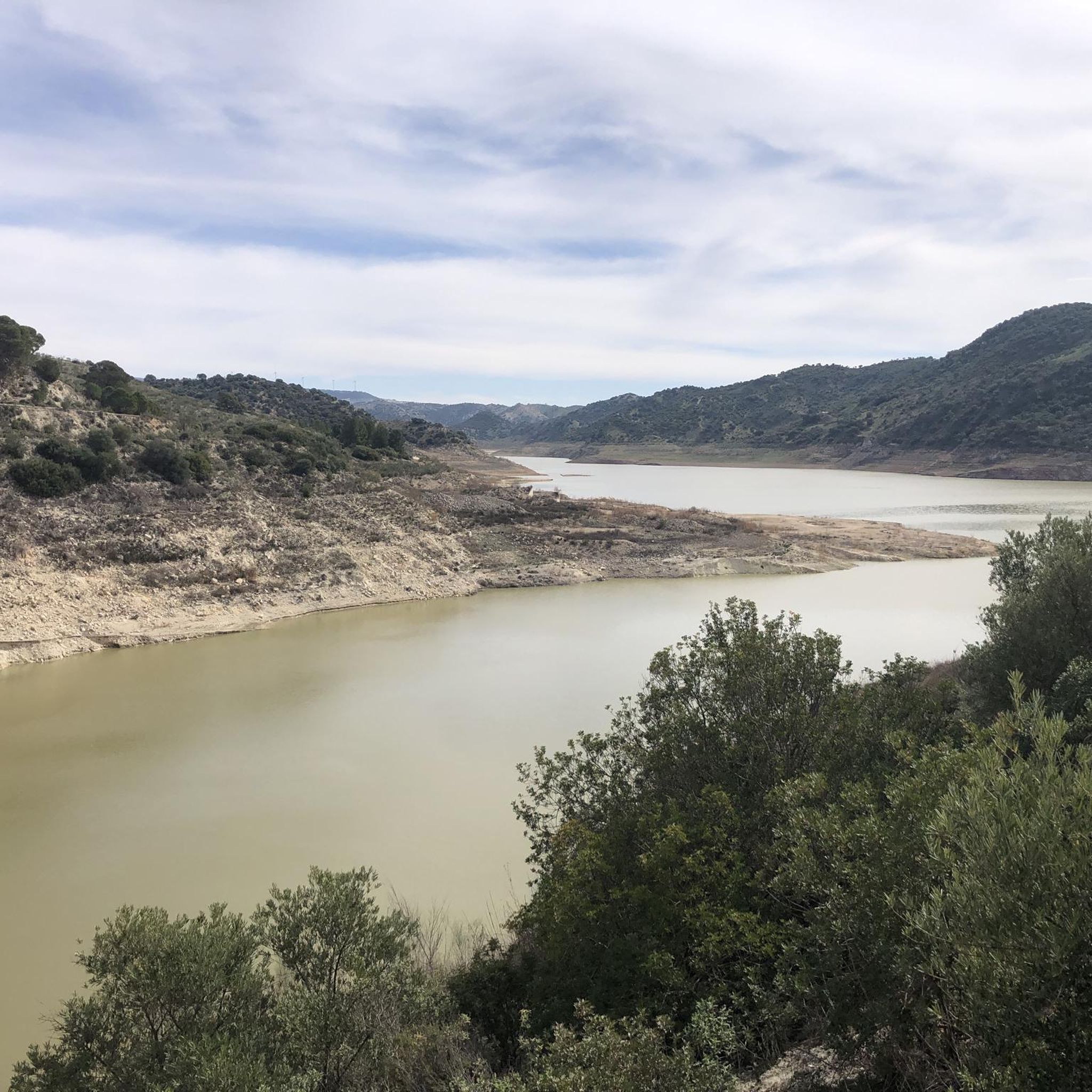
The Peñón de Algámitas is an impressive rock formation located in the Sierra del Tablón, in the province of Seville, Andalusia. With an altitude of 1,121 metres, it is one of the highest points in the province and offers spectacular views of the surrounding area.
6
0
This rock is known for its impressive landscape and its value as a natural viewing point over the surrounding olive groves. Typical vegetation includes holm oaks, cork oaks, wild olive trees and other Mediterranean species. In addition, it is a popular place for recreational and sporting activities such as hiking and climbing.
4
0
This rock is known for its impressive landscape and its value as a natural viewing point over the surrounding olive groves. Typical vegetation includes holm oaks, cork oaks, wild olive trees and other Mediterranean species. In addition, it is a popular place for recreational and sporting activities such as hiking and climbing.
4
0
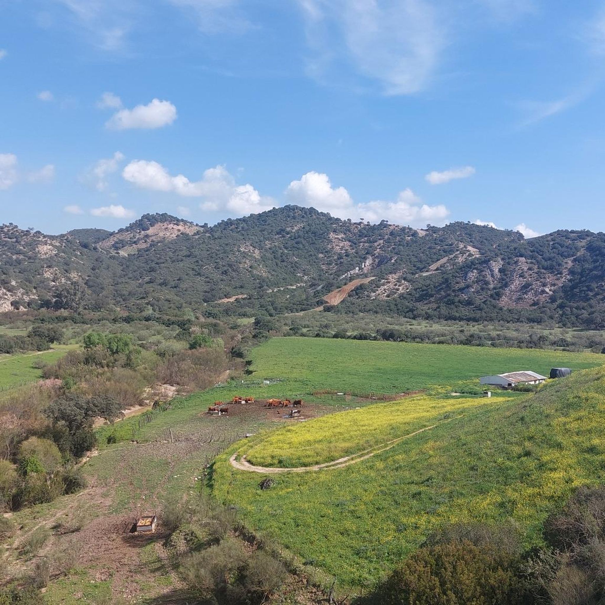
Collado Sierra de Tablón is a highlight on the circular route that includes Sierra de Tablón and El Terril, near Algámitas, in the province of Seville. This route is known for its difficulty, requiring good physical fitness and experience in high mountains.
4
0

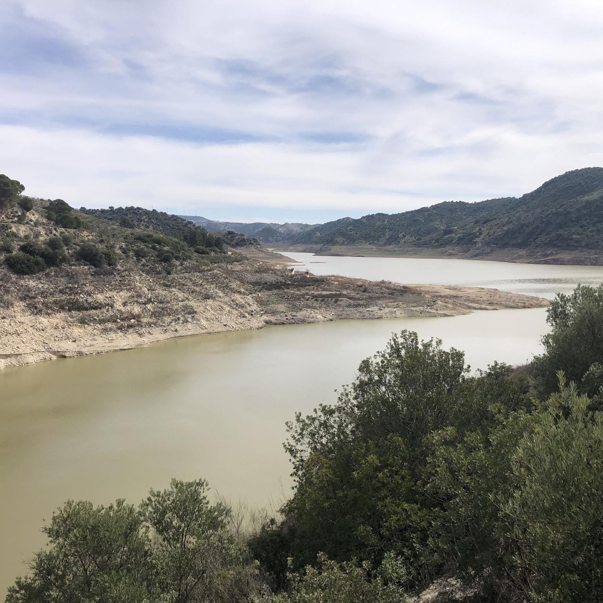
It is a simple peak with a short route, suitable for doing it with the family. It does not have great slopes nor does it require technical knowledge to do it.
2
0

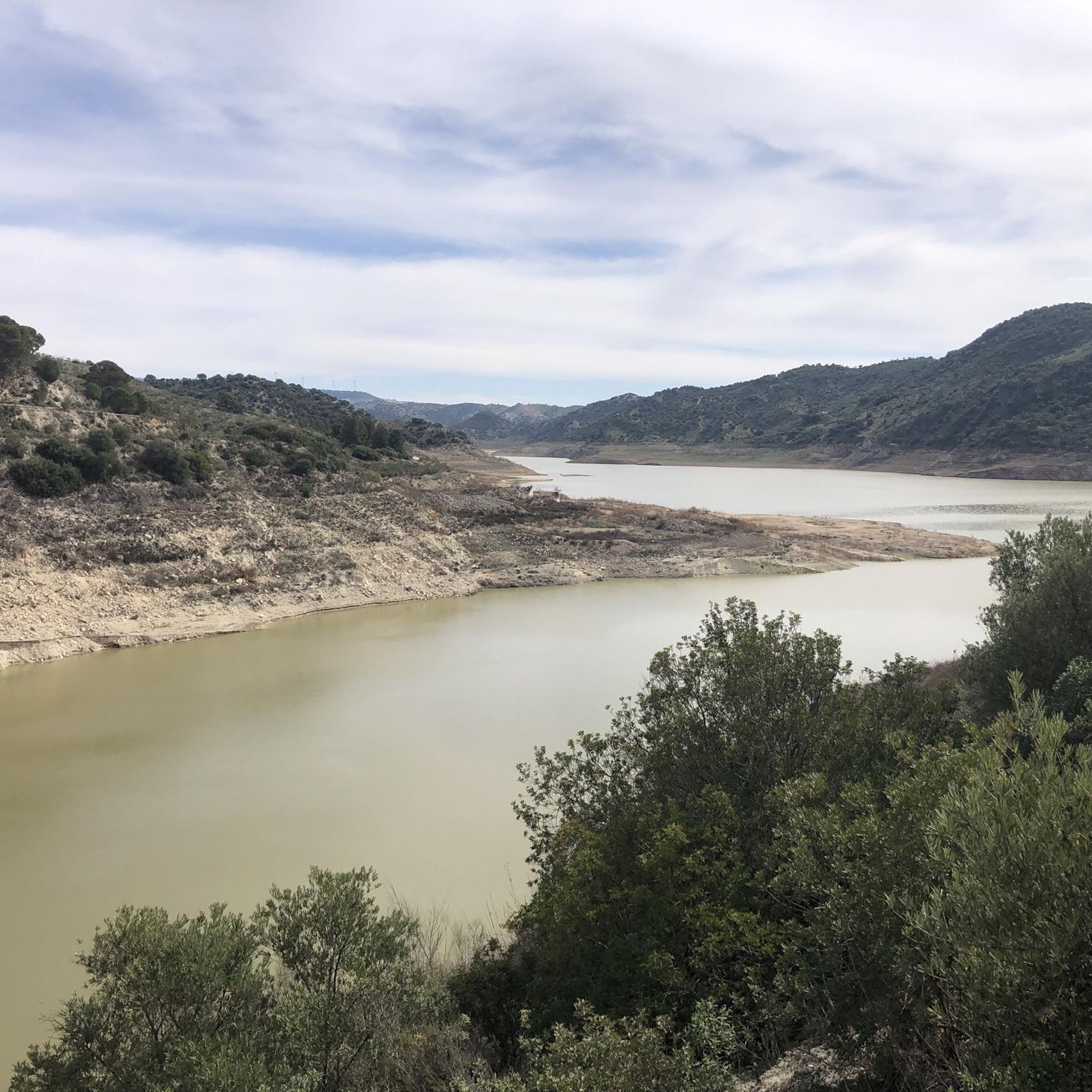
The Pico del Terril is the highest altitude in the Spanish province of Seville in Andalusia, with 1129 meters. It is located on the limit line between the terms of the towns of Algámitas and Pruna, on the top of the hill known as "El Monigote" which is the highest in the Sierra del Tablón.
0
0
Frequently Asked Questions
How many hiking trails are available in La Puebla De Cazalla?
La Puebla De Cazalla offers a network of 13 hiking trails, ranging from moderate to difficult. These routes were established in 2018 to promote natural and rural tourism, providing diverse options for exploring the area's beauty.
What kind of landscapes and natural features can I expect to see while hiking in La Puebla De Cazalla?
Hiking in La Puebla De Cazalla allows you to explore a rich variety of landscapes, including hilly terrain, the scenic Corbones River, and a local reservoir. The area is often described as a 'natural museum' due to its diverse flora and fauna, offering a tranquil environment away from urban development.
Are there any family-friendly hiking options in La Puebla De Cazalla?
While there are no trails specifically rated as 'easy' in our current selection, many of the 10 moderate routes can be suitable for families with some hiking experience. These trails offer a chance to connect with nature and discover the region's rural charm.
What are some notable landmarks or points of interest I can discover on the trails?
Many trails offer views of significant natural landmarks. You can explore areas around Pico del Terril and Peñón de Algámitas, both prominent summits. The Sierra de Tablón Pass is another notable feature, and some routes pass near the settlements of Algámitas and Pruna, offering glimpses into the region's cultural heritage.
Are there any circular hiking routes available?
Yes, several circular routes are available. For example, the Peñón de Algámitas Loop Trail is a challenging 5.5 km option. A moderate choice is the Pico del Terril – Sierra de Tablón Pass loop from Puerto de la Ventana, covering 6.6 km with varied ascents.
What do other hikers say about the trails in La Puebla De Cazalla?
The trails in La Puebla De Cazalla are highly regarded by the komoot community, with an average rating of 4.2 stars from over 30 reviews. Hikers often praise the diverse landscapes, the presence of the Corbones River, and the well-signposted network of trails that allow for a deep connection with nature.
What is the best time of year to go hiking in La Puebla De Cazalla?
La Puebla De Cazalla offers a pleasant hiking experience for much of the year. Spring and autumn generally provide the most comfortable temperatures for exploring the diverse landscapes and enjoying the region's natural beauty. While the area is appealing year-round, it's advisable to check local weather conditions, especially during the hotter summer months.
Are dogs allowed on the hiking trails?
Many outdoor areas in Spain are dog-friendly, especially on natural trails. However, it's always recommended to keep your dog on a leash, especially in areas with wildlife or near livestock, and to carry waste bags. Specific restrictions might apply in certain protected areas, so always look for local signage.
What is the typical duration for a hike in this region?
Hiking durations vary depending on the specific trail and your pace. For instance, the moderate Views of Algámitas – Peñón de Algámitas loop from Restaurante Mirador typically takes about 2 hours and 15 minutes to complete its 5 km. Longer routes, like the 11.4 km Pico del Terril – Peñón de Algámitas loop from Puerto de la Ventana, can take around 4 hours and 43 minutes.
Are there any options for longer, more challenging hikes?
Yes, for those seeking a greater challenge, there are longer moderate routes. The Pico del Terril – Peñón de Algámitas loop from Puerto de la Ventana is a substantial 11.4 km trail with significant elevation changes, offering a rewarding experience for experienced hikers.
What kind of elevation gain can I expect on the trails?
The trails in La Puebla De Cazalla feature varied terrain with significant elevation changes, reflecting the region's hilly landscapes. For example, the difficult Peñón de Algámitas Loop Trail involves an ascent of over 350 meters, while longer moderate routes can have even greater cumulative elevation gains.
Most popular attractions around La Puebla De Cazalla

Get inspired with the komoot mobile app


Explore more
Browse the best Hikes in other regions.
