The best walks and hikes around Mansilla Mayor
4.0
(49)
316
hikers
11
hikes
Hiking around Mansilla Mayor offers a variety of routes through the region's diverse landscape. The area features open countryside, historical paths like the Camino Vadiniense, and trails along local rivers such as the Torío. Elevations are generally gentle, with some routes featuring modest climbs.
Best hiking trails around Mansilla Mayor
- The most popular hiking route is Villafañe-Lancia PRC-LE 66 Trail, a 3.8 miles (6.1 km) trail that takes 1 hour 41 minutes to complete. This easy route offers a…
Last updated: October 7, 2026
3.0
(1)
3
hikers
6.14km
01:41
100m
100m
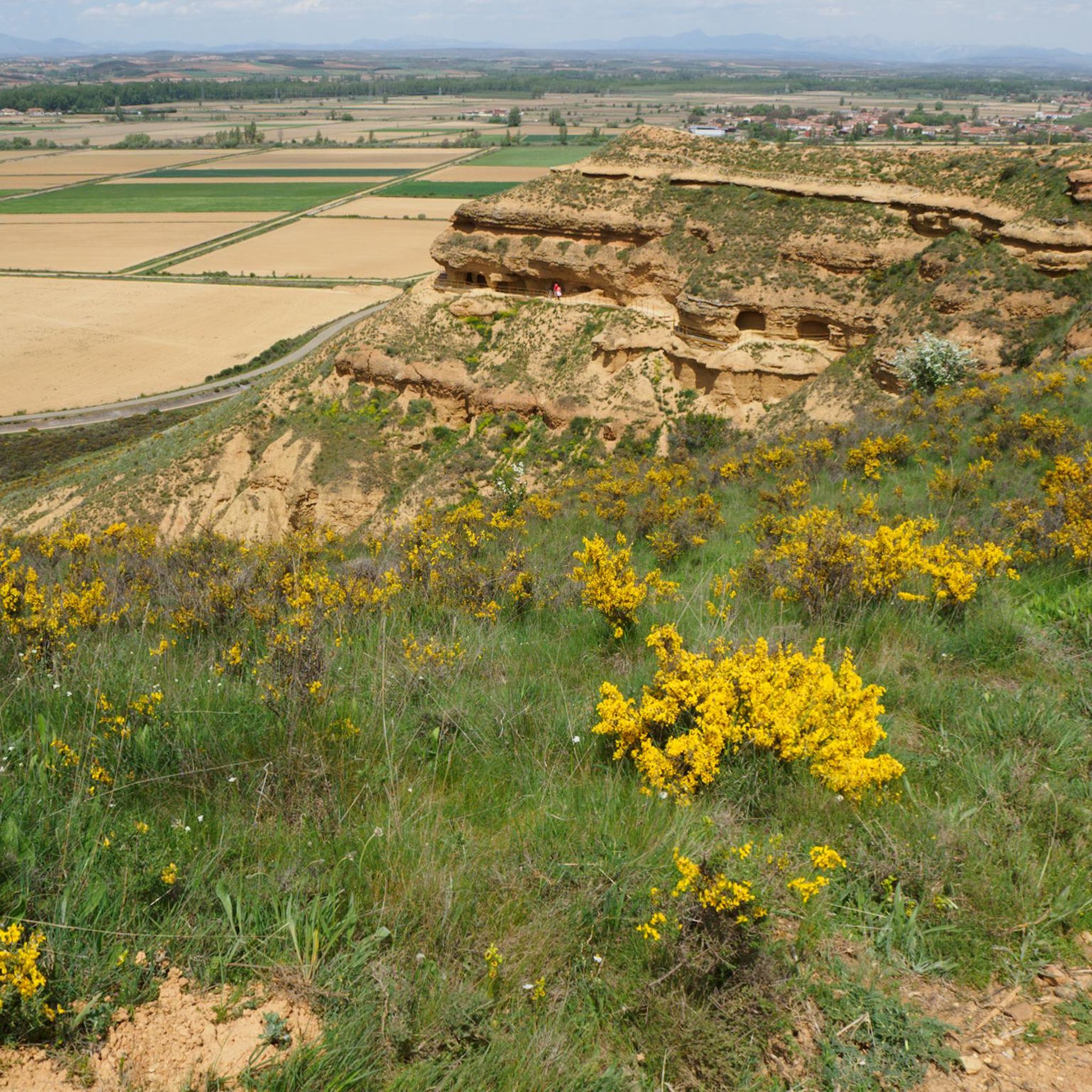
Hike 3.8 miles (6.1 km) through the Ancient City of Lancia and Cuevas Menudas, exploring history and enjoying scenic views.
1
hikers
13.0km
03:17
30m
30m
Moderate hike. Good fitness required. Easily-accessible paths. Suitable for all skill levels.

4.3
(33)
217
hikers
20.6km
05:26
190m
190m
Hard hike. Very good fitness required. Easily-accessible paths. Suitable for all skill levels.
4.5
(6)
27
hikers
Hard hike. Very good fitness required. Easily-accessible paths. Suitable for all skill levels.
5.0
(1)
10
hikers
12.1km
03:03
20m
20m
Moderate hike. Good fitness required. Easily-accessible paths. Suitable for all skill levels.
Get access to more routes and recommendations from other explorers.
Already have an account?
Our route recommendations are based on thousands of hikes, rides, and runs completed by other people on komoot.
Start today with a free account
Your next adventure awaits.
Tips from the Community


From here you have a great first view of the Cathedral of Leon.
1
0
At many churches along the Way of St. James, you can see the many stork nests and observe the storks. It's a wonderful sight to see these animals.
1
1
Some very beautiful monuments that you can find and see along the way.
1
2

The old city wall of Mansilla de las Mulas (also called Mansilla de los Muros), is an impressive example of medieval fortifications. These walls probably date from before 1181, the time of the repopulation under King Ferdinand II. The walls are built of limestone and rock, and are topped with battlements. Some parts of the wall are more than 14 metres high and up to three metres thick. Of the four original gates, the gate of Santa María or de Concepción is still completely preserved. There are six semicircular towers and a square tower that are still visible.
3
0
At this point you can still see the old city wall very impressively.
2
1

Signage on the Camino de Santiago is essential for pilgrims. Yellow arrows: These arrows will guide you throughout the entire route. They indicate the direction to follow, especially at crossroads. The yellow color is due to the contribution of the parish priest Elías Valiña, a key figure in the resurgence of the Camino de Santiago in the 20th century. Cairns or milestones: These concrete blocks include an arrow, a yellow shell on a blue background and the distance in kilometers to Santiago de Compostela. You will find them every 500 meters in Galicia. Scallop shells: In addition to being drawn on the markers, scallop shells are distributed throughout the Camino. They are universal symbols and have been carried by pilgrims for centuries. The open part of the shell indicates the direction towards Santiago. Good way! 🚶♂️🌟
1
0

Frequently Asked Questions
Are there easy hiking trails suitable for beginners or families in Mansilla Mayor?
Yes, Mansilla Mayor offers several easy hiking options. For instance, the Villafañe-Lancia PRC-LE 66 Trail is a straightforward 3.8-mile (6.1 km) route that takes about 1 hour 41 minutes to complete, perfect for a relaxed outing with gentle elevations.
What kind of terrain can I expect on hikes around Mansilla Mayor?
The hiking trails around Mansilla Mayor feature a diverse landscape, including open countryside, historical paths like the Camino Vadiniense, and scenic routes along local rivers such as the Torío. Elevations are generally gentle, though some routes include modest climbs.
Are there any circular hiking routes in the area?
Absolutely. A popular circular option is the Mansilla de las Mulas — circular by Camino Vadiniense. This moderate 8.1-mile (13.0 km) trail follows a section of the historic Camino Vadiniense, offering both natural beauty and cultural insights.
What are some interesting landmarks or attractions I can see near the hiking trails?
Hikers can discover several points of interest. You might encounter historical structures like the Puente de Villarente or the Esla River Bridge, Mansilla de las Mulas. For a unique natural sight, consider visiting the Reliegos Meteorite Impact Site. Many routes also pass by Camino de Santiago markers, such as the Camino de Santiago Distance Marker: 334.9 km to León.
What is the typical length and duration of hikes in Mansilla Mayor?
Hikes in Mansilla Mayor vary in length and duration. You can find shorter, easy routes like the 3.8-mile (6.1 km) Villafañe-Lancia PRC-LE 66 Trail which takes under two hours. Longer, more challenging trails, such as the Fountain and bridge – Torío River loop from Arcahueja, can extend to 13.3 miles (21.4 km) and take around 5 hours 39 minutes.
Are dogs allowed on the hiking trails in Mansilla Mayor?
Generally, dogs are welcome on hiking trails in rural areas like Mansilla Mayor. However, it's always recommended to keep them on a leash, especially when passing through agricultural land or near livestock, and to ensure you clean up after them.
What do other hikers enjoy most about hiking in Mansilla Mayor?
The komoot community highly rates the hiking experience in Mansilla Mayor, with an average score of 3.7 stars from over 30 reviews. Hikers often praise the blend of natural landscapes, including open fields and river paths, with the historical significance of routes like the Camino Vadiniense.
Can I access hiking trails in Mansilla Mayor using public transport?
While Mansilla Mayor is a rural area, some larger towns nearby may have bus connections. For specific trailheads, public transport options might be limited, and a car is often the most convenient way to reach many starting points. It's advisable to check local bus schedules for routes connecting to villages near your chosen trail.
Are there any moderate or difficult hikes for experienced hikers?
Yes, for more experienced hikers, there are moderate and difficult options. The Fountain and bridge – Torío River loop from Arcahueja is a difficult 13.3-mile (21.4 km) trail. Another moderate option is the View of León Cathedral – Torío River loop from Arcahueja, covering 18.4 miles (18.4 km).
Is parking available near the trailheads in Mansilla Mayor?
In general, parking is available in or near the villages where many of the trails begin. As it's a rural area, you can often find roadside parking or small village car parks. Always be mindful of local regulations and private property when parking.
Are there any hikes that offer views of significant historical or cultural sites?
Yes, several routes incorporate historical elements. The Mansilla de las Mulas — circular by Camino Vadiniense directly follows a section of the ancient Camino Vadiniense. Another trail, the Pilgrim Monument in Reliegos – Earth Houses of Reliegos loop from Las Tranquilleras, takes you past the Pilgrim Monument and the unique Earth Houses of Reliegos.
Most popular attractions around Mansilla Mayor

Get inspired with the komoot mobile app


Explore more
Browse the best Hikes in other regions.
