The best walks and hikes around Daganzo De Arriba
4.6
(280)
1,945
hikers
185
hikes
Hiking around Daganzo De Arriba offers varied landscapes, including riparian vegetation along the Arroyo del Monte and Torote River, expansive cereal fields, and scrubland. The region features a mix of flat terrain and gentle ascents, with higher points like Cabeza Gorda providing elevated views. These natural features create diverse environments for outdoor exploration.
Best hiking trails around Daganzo de Arriba
- The most popular hiking route is Valle de Arriba y la Dehesa de Cobeña – circular by Cerro Alarnillos, a 4.0 miles (6.5 km) trail that takes 1 hour 48 minutes to complete. This easy route traverses varied landscapes, including open fields and areas with natural vegetation.
- Another top favourite among local hikers is From Alalpardo to Valdeolmos — circular by the Camino el Casar, an easy 4.1 miles (6.6 km) path. This trail follows traditional routes through agricultural areas and offers views of the surrounding countryside.
- Local hikers also love the Lagunas de Cobeña – Lagunas de Cobeña loop from Algete, a 7.0 miles (11.3 km) trail leading through riparian areas and near lagoons, often completed in about 3 hours 5 minutes.
- Hiking around Daganzo De Arriba is defined by its riparian vegetation, cereal fields, and scrubland. The network offers options for easy, moderate, and challenging ability levels.
- The routes in Daganzo De Arriba are highly rated by the komoot community with an average score of 4.6 stars from more than 200 reviews. More than 1,900 hikers have used komoot to explore Daganzo De Arriba's varied terrain.
Last updated: May 20, 2026
3.7
(3)
12
hikers
6.52km
01:48
110m
110m
Easy hike. Great for any fitness level. Easily-accessible paths. Suitable for all skill levels.
9
hikers
6.61km
01:45
60m
70m
Easy hike. Great for any fitness level. Easily-accessible paths. Suitable for all skill levels.

Sign up for free
5.0
(2)
7
hikers
11.3km
03:05
160m
170m
Moderate hike. Good fitness required. Easily-accessible paths. Suitable for all skill levels.
5.0
(1)
14
hikers
5.86km
01:33
50m
50m
Easy hike. Great for any fitness level. Easily-accessible paths. Suitable for all skill levels.
4.5
(8)
11
hikers
5.54km
01:31
90m
90m
Easy hike. Great for any fitness level. Easily-accessible paths. Suitable for all skill levels.
Get access to more routes and recommendations from other explorers.
Sign up for free
Already have an account?
Our route recommendations are based on thousands of hikes, rides, and runs completed by other people on komoot.
Start today with a free account
Your next adventure awaits.
Login or Signup

Tips from the Community

excellent 👌
0
0


ideal place for lunch benches, shade and
1
0

Very nice church and large staircase
1
0

This church in Valdeolmos is Romanesque in style and dates back to the 16th and 17th centuries, although the chapel next to the Epistle is in Gothic style.
1
0

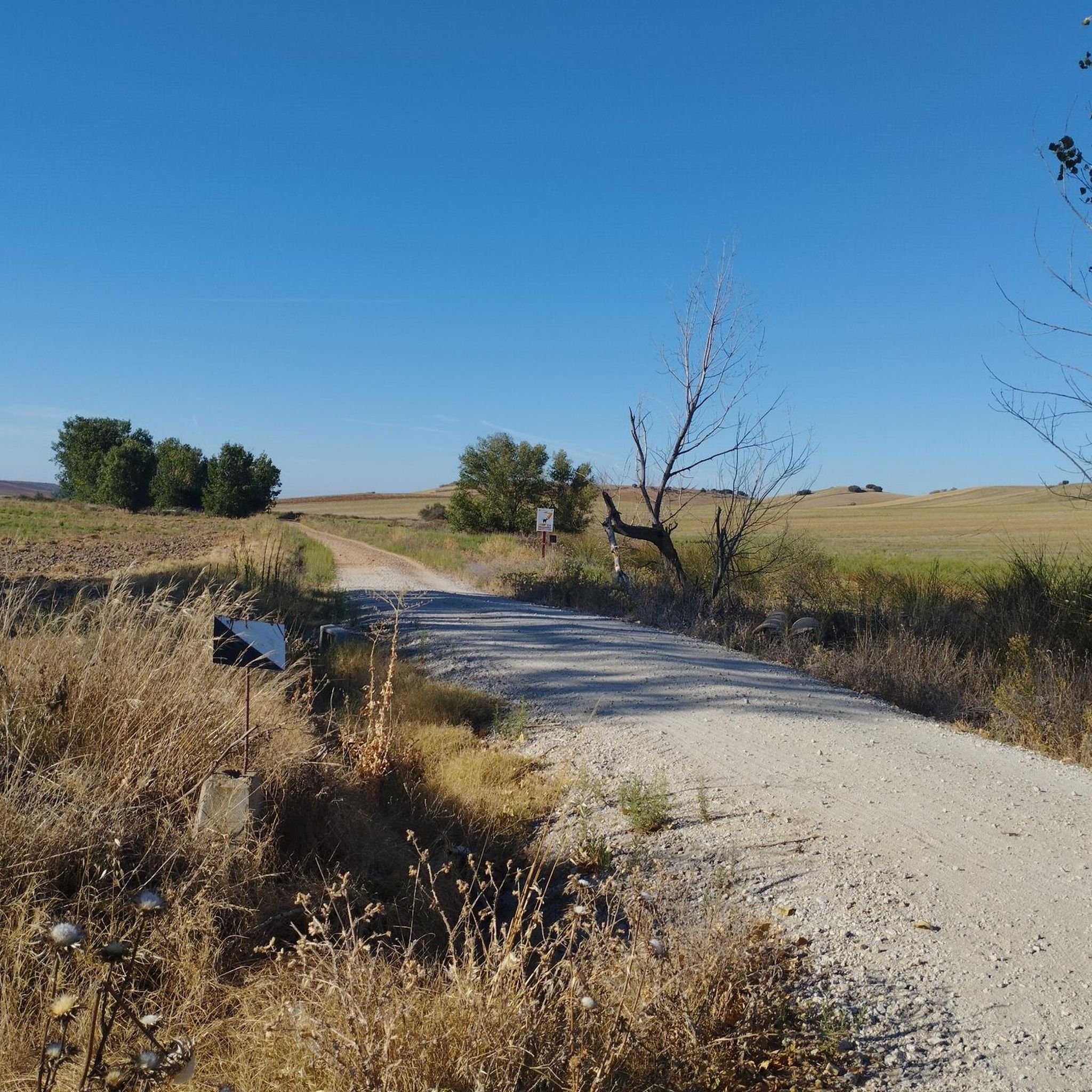
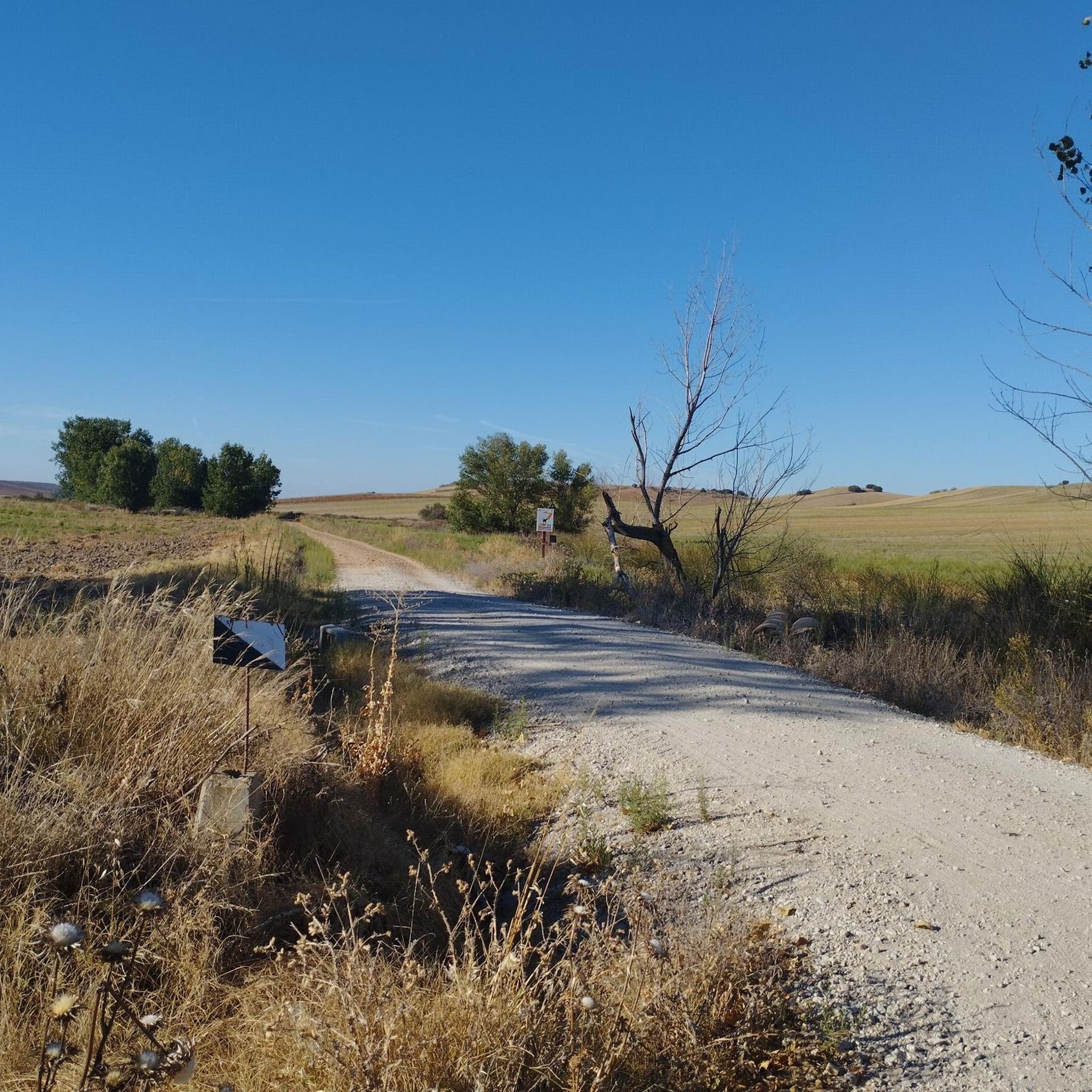
Arriving at Cobeña, before crossing the bridge that crosses the road, it is on a ramp with a curve to the right with loose stones. Go down carefully
0
1

Perfect place for a little excursion with the family and children. There are tables to eat and can be accessed from various places, you can even park nearby, in the Cobeña sports area.
1
0
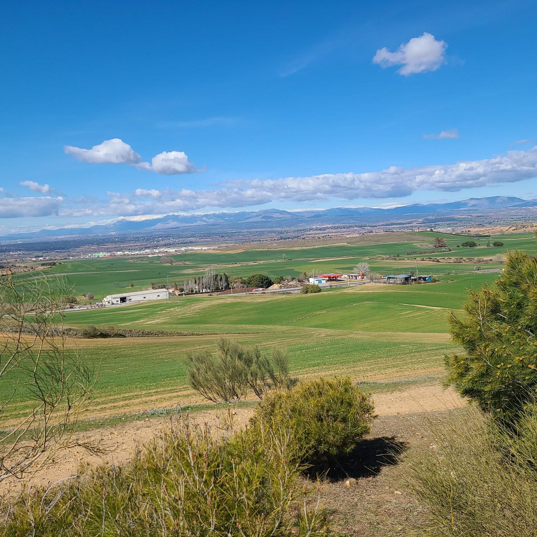
Place with great views of Madrid and the Sierra from the Henares countryside
1
0
Frequently Asked Questions
How many hiking trails are available around Daganzo De Arriba?
There are over 200 hiking routes around Daganzo De Arriba, catering to various skill levels. You'll find a good mix of easy, moderate, and a few challenging options to explore the diverse landscapes.
What types of landscapes can I expect to see while hiking in Daganzo De Arriba?
The region offers a rich diversity of landscapes, including lush riparian vegetation along the Arroyo del Monte and Torote River, expansive cereal fields, and low scrubland. Trails often transition between these environments, providing varied scenery.
Are there easy hiking trails suitable for beginners or families in Daganzo De Arriba?
Yes, Daganzo De Arriba has over 100 easy routes perfect for beginners or families. An example is the Valle de Arriba y la Dehesa de Cobeña – circular by Cerro Alarnillos, which is about 6.5 km long and takes less than two hours to complete.
Are there any circular hiking routes in the area?
Many routes around Daganzo De Arriba are circular, allowing you to start and end at the same point. For instance, the From Alalpardo to Valdeolmos — circular by the Camino el Casar is an easy 6.6 km loop through agricultural areas.
What kind of wildlife might I encounter on the trails?
Daganzo De Arriba is part of a Special Protection Area for Birds, so you might spot various bird species such as the great bustard, Montagu's harrier, lesser kestrel, and even larger birds of prey like the Iberian imperial eagle. The riparian areas also support diverse flora and fauna.
What do other hikers say about the trails in Daganzo De Arriba?
The hiking routes in Daganzo De Arriba are highly rated by the komoot community, with an average score of 4.6 stars from over 240 reviews. Hikers often praise the varied terrain and the peaceful natural environment.
Are there any longer or more challenging hikes available?
While most routes are easy to moderate, there are a few more challenging options. A moderate example is the Lagunas de Cobeña – Lagunas de Cobeña loop from Algete, which is over 11 km long and takes about 3 hours to complete, passing through riparian areas.
What are some interesting places to explore near the hiking trails?
Beyond the trails, you can visit nearby attractions such as the Parque Europa Monuments in Torrejón de Ardoz, known for its European monument replicas, or the historical Ruins of Alcalá la Vieja Fortress. The Cervantes Square also offers a cultural point of interest.
Can I find trails that follow streams or rivers?
Yes, the area is known for its riparian vegetation. You can find routes that follow the Arroyo del Monte and extend towards the Torote River. The Stream in Natural Surroundings loop from Daganzo de Arriba is an easy 5.8 km trail that explores these natural features.
Are there any routes that offer views from higher elevations?
While Daganzo De Arriba generally features gentle terrain, some routes offer elevated views. Higher points like Cabeza Gorda (770 m.s.n.m.) provide opportunities for panoramic vistas of the surrounding landscapes, including cereal fields and scrubland.
What is the typical duration for hikes in Daganzo De Arriba?
Hikes in Daganzo De Arriba vary in length and duration. Many easy routes, like the Lagunas de Cobeña loop from Cobeña (7.4 km), can be completed in around 2 hours, while longer moderate trails might take up to 3-4 hours.
Most popular routes around Daganzo De Arriba
Most popular attractions around Daganzo De Arriba

Get inspired with the komoot mobile app


Explore more
Browse the best Hikes in other regions.
