The best road cycling routes around Valverde De Los Arroyos
5.0
(1)
150
riders
12
rides
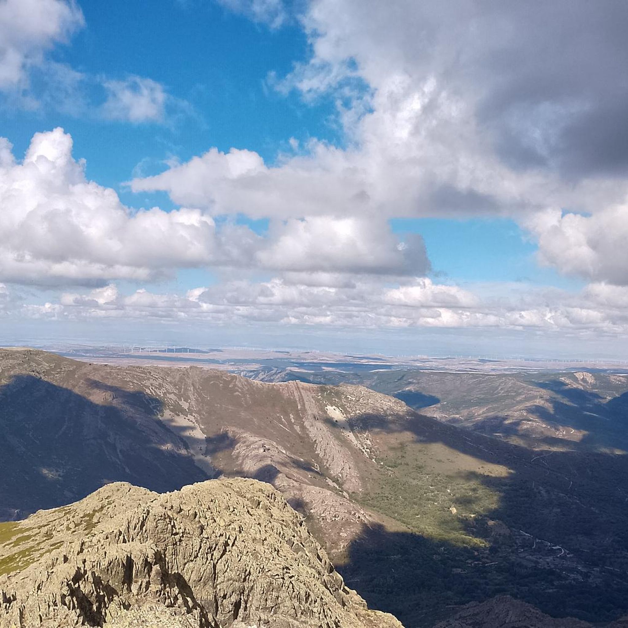
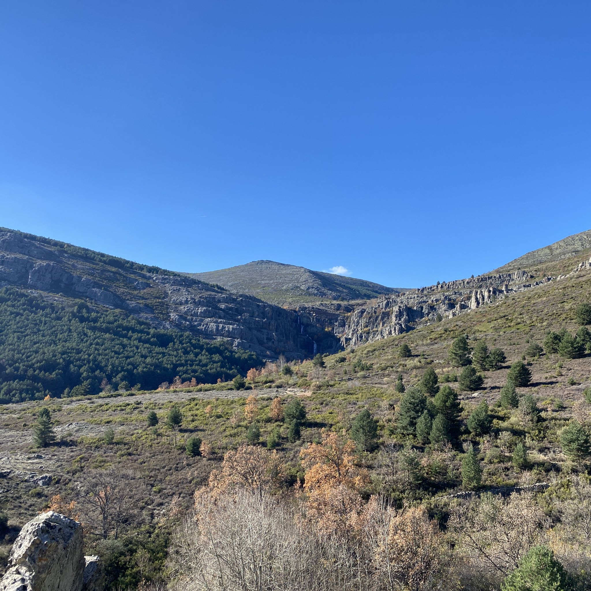
Road cycling routes around Valverde de los Arroyos traverse the Sierra Norte of Guadalajara, an area characterized by significant elevation changes and diverse natural features. The region is situated on the southern slopes of the Sierra de Ayllón, with the imposing Pico Ocejón providing a dramatic backdrop. Cyclists encounter quiet roads winding through deciduous forests, valleys, and past unique "Black Architecture" villages built from dark slate. Mountain passes like Puerto de la Quesera offer challenging ascents and panoramic views.
Best road cycling routes around Valverde De Los Arroyos
- The most popular road cycling route is Sierra del Rincón Biosphere Reserve Loop, a 66.9 miles (107.7 km) trail that takes 6 hours 10 minutes to complete. This difficult route features substantial elevation gain through a protected natural area.
- Another top favourite among local road cyclists is Climb to Puerto de la Quesera — round trip from Campillo de Ranas, a difficult 38.7 miles (62.3 km) path. This route includes a significant climb to a mountain pass, offering expansive views of the surrounding landscape.
- Local road cyclists also love the Borderlands Loop from Galve de Sorbe, a 52.1 miles (83.8 km) trail leading through varied terrain, often completed in about 4 hours 3 minutes.
- Road cycling around Valverde De Los Arroyos is defined by challenging mountain passes, scenic forests, and the unique "Black Architecture" villages. The network offers options for different ability levels, from moderate to difficult routes.
- The routes in Valverde De Los Arroyos are highly rated by the komoot community with an average score of 5.0 stars from over 1 review. More than 170 road cyclists have used komoot to explore Valverde De Los Arroyos's varied terrain.
Last updated: July 25, 2026
5.0
(1)
25
riders
108km
06:11
2,270m
2,270m
This difficult 66.9-mile road cycling route offers challenging climbs, stunning mountain scenery, and picturesque villages in the Sierra del
20
riders
62.3km
03:34
1,470m
1,470m
Hard road ride. Very good fitness required. Some segments of this route may be unpaved and difficult to ride.

Sign up for free
18
riders
83.8km
04:03
1,230m
1,230m
This difficult 52.1-mile road cycling route from Galve de Sorbe offers 4045 feet of gain, historical towns, and panoramic mountain views.
12
riders
80.7km
04:14
1,420m
1,420m
This difficult 50.1-mile road cycling route from Castillo de Galve de Sorbe explores the Sierra de Alto Rey and Río Pelagallinas River Reser
26
riders
103km
05:14
1,760m
1,770m
Hard road ride. Very good fitness required. Mostly well-paved surfaces and easy to ride.
Get access to more routes and recommendations from other explorers.
Sign up for free
Already have an account?
Our route recommendations are based on thousands of hikes, rides, and runs completed by other people on komoot.
Start today with a free account
Your next adventure awaits.
Login or Signup

Other adventures around Valverde De Los Arroyos

Tips from the Community

What to see 🧭 “El País de la Plata” Interpretation Center Interactive museum about local mining, open Saturdays and Sundays from 12:00 to 14:00. General admission approx. €2, free for residents and children under 14. ⛪ Santa Cecilia Parish Church 19th-century building constructed during the mining boom, with a single nave and a simple transept. 🏗️ Mining and Industrial Heritage More than 200 shafts/mines, such as Santa Catalina, Santa Teresa, Mala Noche, Fuerza, etc. Remains of ore-washing facilities like San Carlos, ruined industrial sites, and power plants.
4
0
A village in the Sierra Norte of Guadalajara, at an altitude of approximately 1,084 meters. Its origins are medieval, possibly predating the Bronze Age. The name derives from the Arabic Hisn al-Ancina (“castle of the holm oak”). In 1844, the discovery of silver triggered a “silver rush,” transforming Hiendelaencina into a major 19th-century mining district, with up to 200 mines and a population that reached 5,000. A parish church dedicated to Saint Cecilia was built between 1848 and 1851, financed with funds from the mining town.
4
0
The Church of Our Lady of the Assumption, in Tamajón (Guadalajara), stands atop a small hill to the north of the town center, at an altitude of approximately 1,097 meters, within the Diocese of Sigüenza-Guadalajara. It was built in the 13th century in the Romanesque style, with significant renovations in the 16th century that introduced Renaissance influences. In the 12th century, the area belonged to the Common Lands of the Town and Territory of Atienza; in the 15th century, it passed to the Mendoza family.
3
0
The Castle and Walls of Buitrago del Lozoya, one of the most important medieval sites in the Community of Madrid: The town has pre-Roman roots and was mentioned by Livy as a Celtiberian fortress (Litabrum). Muslim Fortification: Between the 8th and 11th centuries, the Muslims built the wall to protect the territory. Reconquest: Alfonso VI conquered it in 1085, and it passed into Christian hands. Current Castle: Built in the 15th century by the Mendoza family, during the reign of John II of Castile. Historical Uses: Noble residence, defensive stronghold, and setting for events such as the imprisonment of Juana la Beltraneja.
3
0

The short climb is worth the view.
4
0

In the midst of the battlefield between Christians and Muslims lay this beautiful castle.
6
0

Place between Segovia and Guadalajara that is the starting point for many routes.
0
0
The Church of Our Lady of the Assumption in Tamajón, Guadalajara, is a beautiful example of 13th-century Romanesque architecture, with Renaissance reforms in the 16th century. Located on a small hill to the north of the town, this church stands out for its impressive façade and its rich history. The temple has a rectangular floor plan with three sections and three naves, with a flat chancel and a porticoed gallery on the south façade. Inside, you can admire mural paintings from different periods and Baroque and Gothic altarpieces that decorate the main altar and the side chapels.
5
0
Frequently Asked Questions
What is the typical terrain like for road cycling in Valverde de los Arroyos?
Road cycling in Valverde de los Arroyos is characterized by significant elevation changes, offering both scenic beauty and a physical challenge. You'll encounter quiet roads winding through deciduous forests, valleys, and past unique 'Black Architecture' villages. Mountain passes like Puerto de la Quesera and Alto de la Carrascosa provide demanding ascents and panoramic views, with minimal flat areas.
Are there road cycling routes suitable for beginners in Valverde de los Arroyos?
While many routes in the region are challenging, there is at least one easy road cycling route available. Overall, komoot offers 12 road cycling tours in the area, with 1 being easy, 3 moderate, and 8 difficult, ensuring options for various skill levels.
What natural features can I expect to see along the road cycling routes?
The routes offer stunning natural features. You can expect dramatic backdrops from the imposing Pico Ocejón, especially when snow-capped. The area also boasts diverse forests that display spectacular red and ochre tones in autumn, and you might encounter impressive waterfalls like the Despeñalagua Waterfall, formed by a series of drops in the Chorrera stream.
Are there any unique villages or architectural sights to explore on a road bike?
Yes, Valverde de los Arroyos is one of the most emblematic 'Black Architecture' towns. You can cycle through villages like Valverde de los Arroyos, Roblelacasa, and Campillo de Ranas, which feature buildings constructed from dark slate and quartzite, creating a visually appealing setting. These well-preserved houses often reflect sunlight with a striking golden tint.
When is the best time of year to go road cycling in Valverde de los Arroyos?
The region offers different experiences throughout the year. Autumn is particularly spectacular as the deciduous forests transform into vibrant red and ochre tones. While Pico Ocejón can be snow-capped for much of the year, summer provides beautiful paths, especially near watercourses like those leading to the Chorreras de Despeñalagua. Consider spring and early autumn for pleasant temperatures and stunning scenery.
Are there circular road cycling routes available in the area?
Yes, many of the road cycling routes in Valverde de los Arroyos are circular. For example, the Sierra del Rincón Biosphere Reserve Loop is a challenging 66.9-mile (107.7 km) route that takes you through a protected natural area. Another option is the Alto Rey and the Black Slate Villages Loop, covering 80.7 km with significant elevation.
What do other road cyclists enjoy the most about road cycling in Valverde de los Arroyos?
The area is highly rated by the komoot community, with an average score of 5.0 stars. Cyclists often praise the challenging mountain passes, the scenic forests, and the unique 'Black Architecture' villages. The tranquility and low traffic on many roads also allow for an immersive experience in the natural surroundings.
Are there any particularly challenging road cycling routes for experienced riders?
Valverde de los Arroyos is known for its challenging terrain. A difficult option is the Climb to Puerto de la Quesera — round trip from Campillo de Ranas, a 38.7-mile (62.3 km) path featuring a significant ascent and expansive views. Another demanding route is the Borderlands Loop from Galve de Sorbe, which covers 52.1 miles (83.8 km) through varied terrain.
What kind of parking is available for road cyclists in Valverde de los Arroyos?
While specific parking facilities are not detailed, Valverde de los Arroyos and surrounding villages typically offer public parking areas. Given the region's tranquil nature and focus on outdoor activities, you can generally find suitable parking in or near the starting points of routes, particularly in the villages themselves.
Are there places to stop for refreshments or food along the road cycling routes?
The 'Black Architecture' villages, including Valverde de los Arroyos and Campillo de Ranas, often have small cafes, restaurants, or rural accommodations where you can refuel. These stops provide an opportunity to experience the local culture and architecture while taking a break from your ride.
Can I find routes that offer panoramic viewpoints?
Absolutely. The mountainous terrain around Valverde de los Arroyos, with its significant elevation changes and passes like Puerto de la Quesera, naturally offers numerous points with panoramic views. These viewpoints provide expansive vistas of the Sierra de Ayllón, Pico Ocejón, and the surrounding valleys, making for rewarding stops during your ride.
Most popular routes around Valverde De Los Arroyos
Most popular attractions around Valverde De Los Arroyos

Get inspired with the komoot mobile app


Explore more
Browse the best Road cycling routes in other regions.
