The best walks and hikes around Cortes De La Frontera
4.5
(412)
2,122
hikers
16
hikes
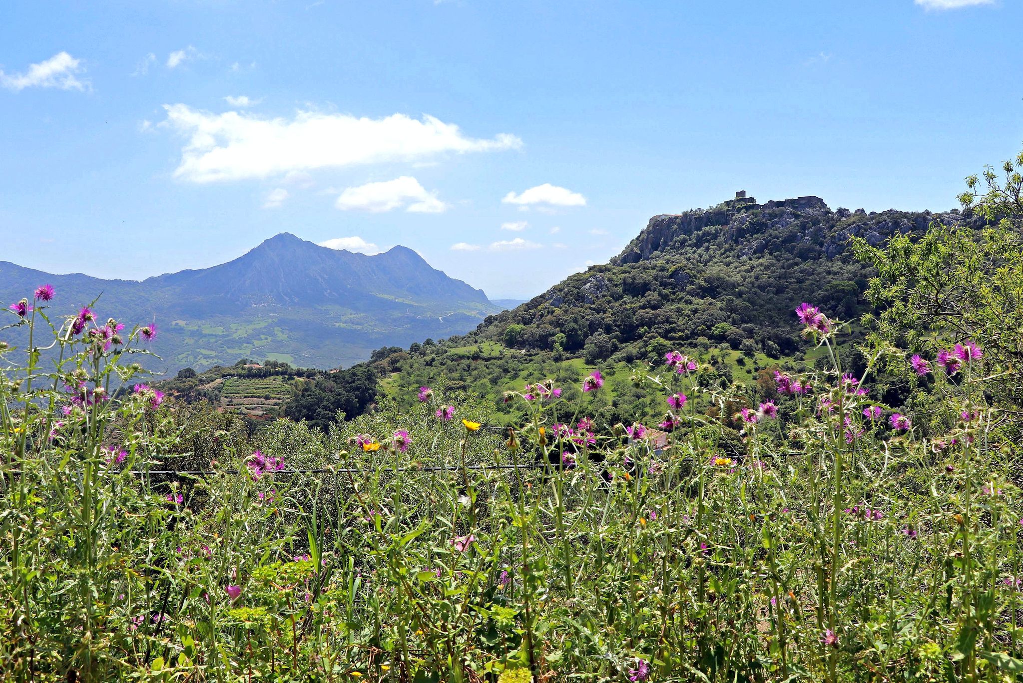
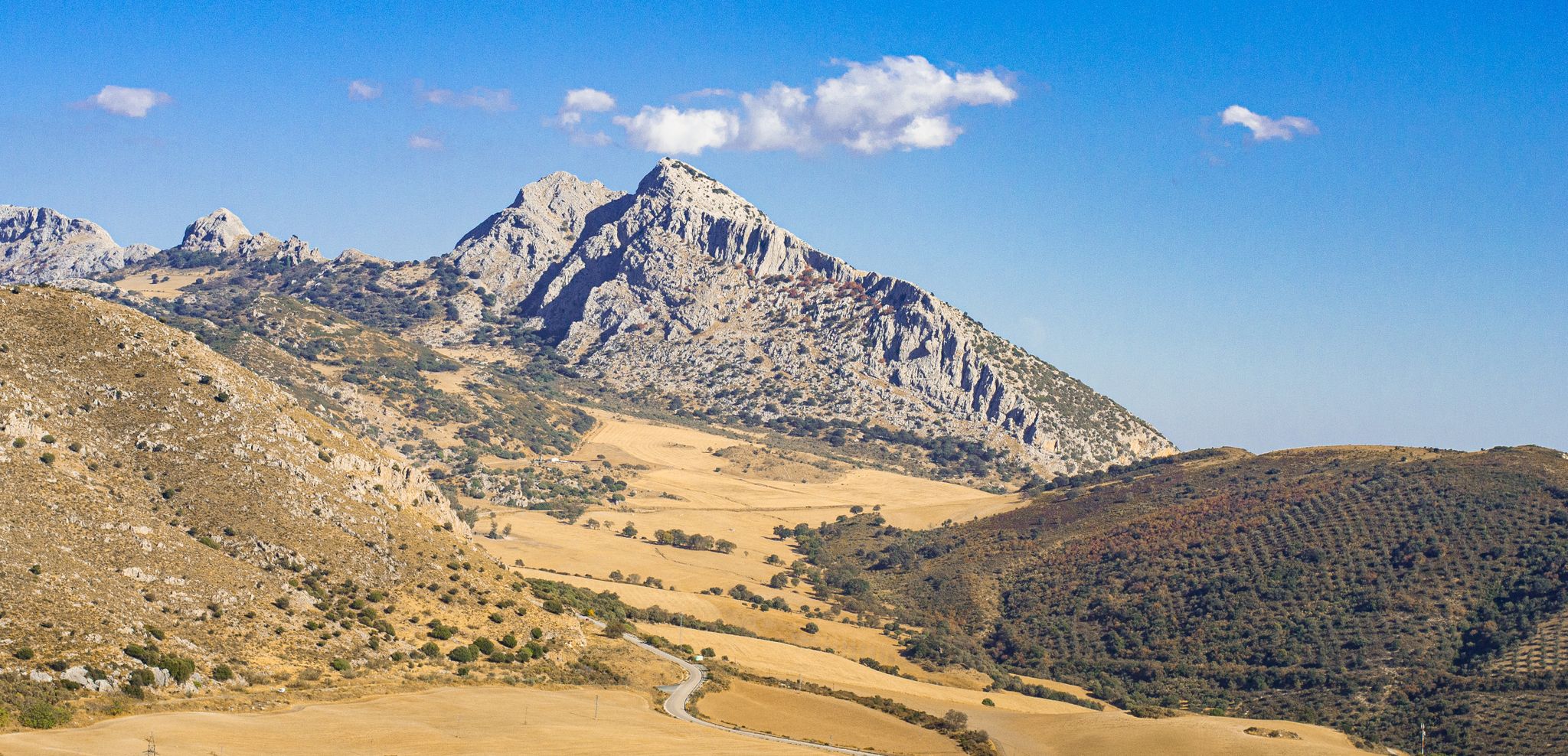
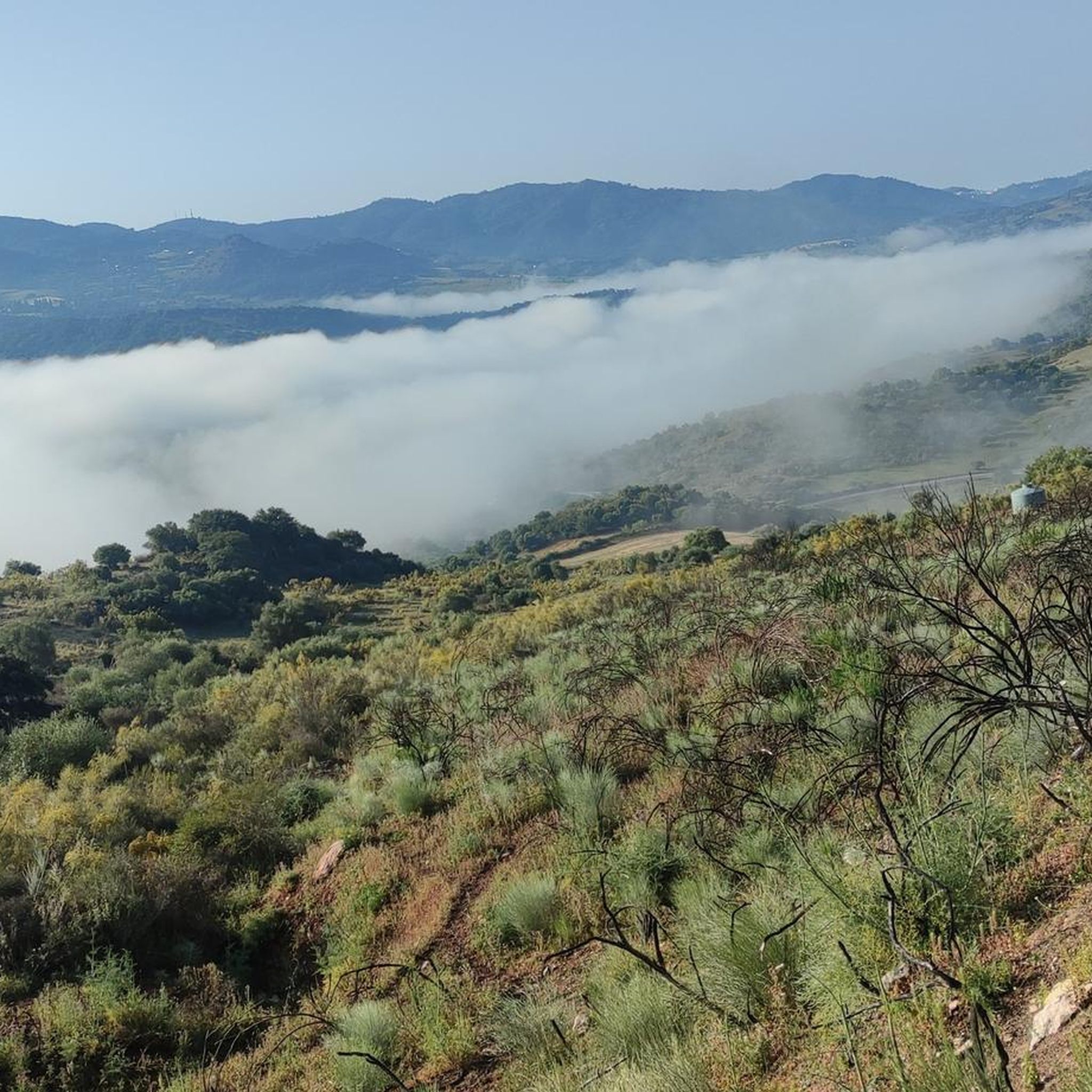
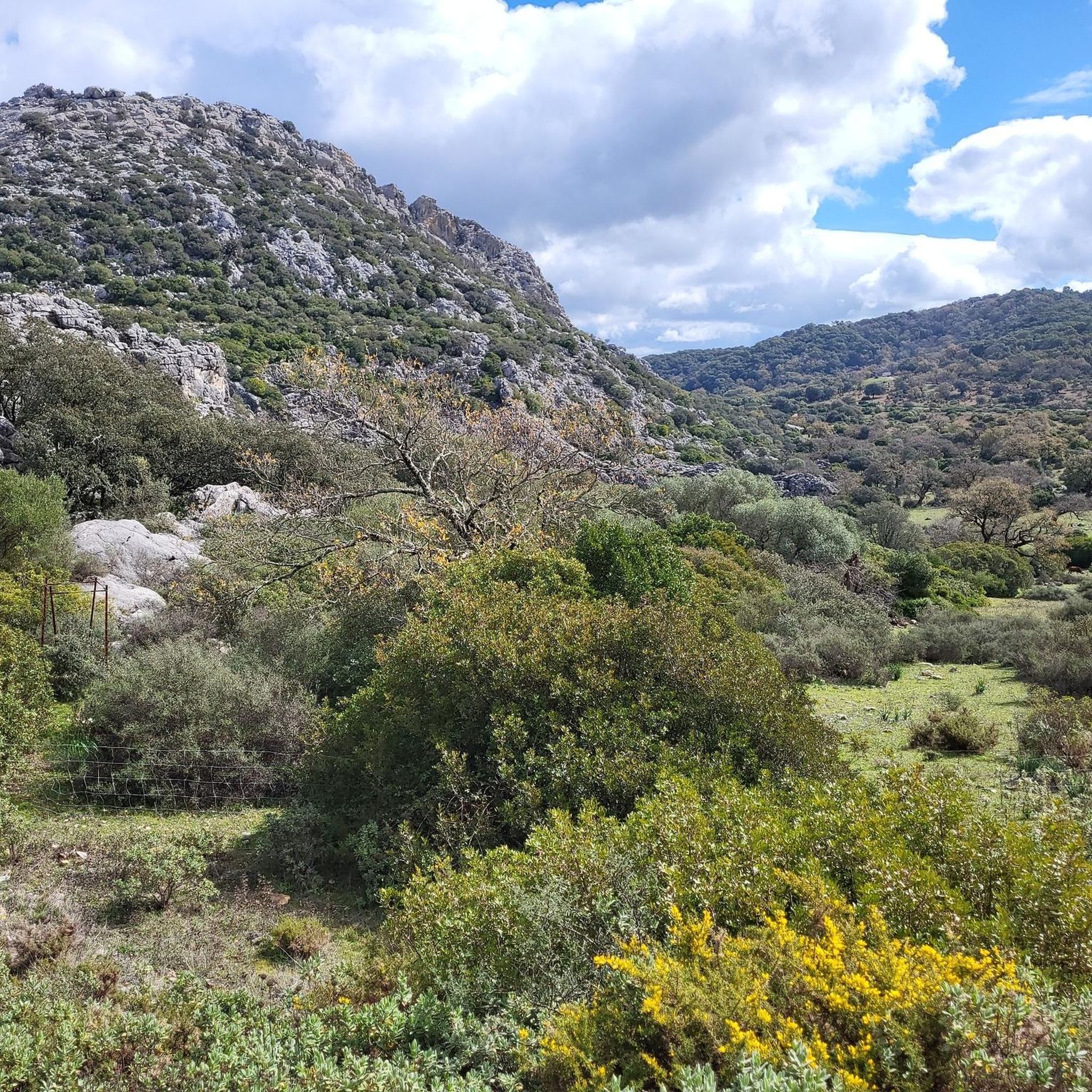
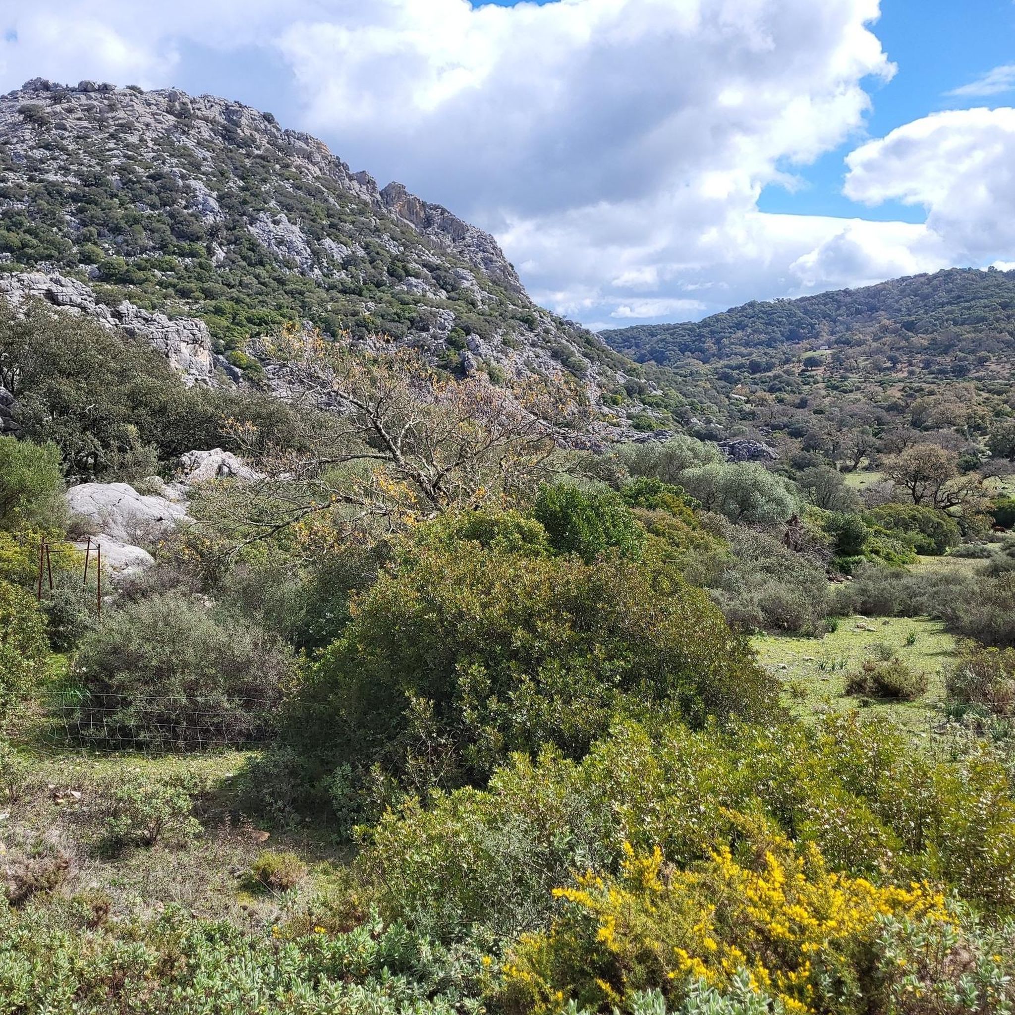
Hiking trails around Cortes De La Frontera traverse a landscape situated between the Sierra de Grazalema Natural Park and the Los Alcornocales Natural Park. This region is characterized by karst mountains, deep river gorges carved by the Guadiaro River, and extensive cork oak forests. The terrain offers a mix of valleys, woodlands, and elevated areas, providing varied conditions for outdoor activities.
Best hiking trails around Cortes De La Frontera
- The most popular hiking route is Sierra de Los Pinos –…
Last updated: July 27, 2026
5.0
(4)
20
hikers
Hard hike. Very good fitness required. Sure-footedness, sturdy shoes and alpine experience required.
4.5
(16)
97
hikers
13.1km
04:08
470m
470m
Moderate hike. Good fitness required. Easily-accessible paths. Suitable for all skill levels.

Sign up for free
4.8
(10)
68
hikers
8.93km
03:16
570m
570m
Moderate hike. Good fitness required. Easily-accessible paths. Suitable for all skill levels.
4.8
(9)
33
hikers
13.4km
04:24
600m
600m
Moderate hike. Good fitness required. Easily-accessible paths. Suitable for all skill levels.
4.7
(7)
21
hikers
5.45km
01:38
190m
180m
Easy hike. Great for any fitness level. Easily-accessible paths. Suitable for all skill levels.
Get access to more routes and recommendations from other explorers.
Sign up for free
Already have an account?
Our route recommendations are based on thousands of hikes, rides, and runs completed by other people on komoot.
Start today with a free account
Your next adventure awaits.
Login or Signup
Popular around Cortes De La Frontera


Tips from the Community


A beautiful stream with a waterfall. It was very wet in the spring (late March), and much of the trail was a stream. It was also muddy in places. A very beautiful trail through the old cork oaks. We walked downhill on a gravel road.
0
0

Another great viewpoint into the gorge.
0
0
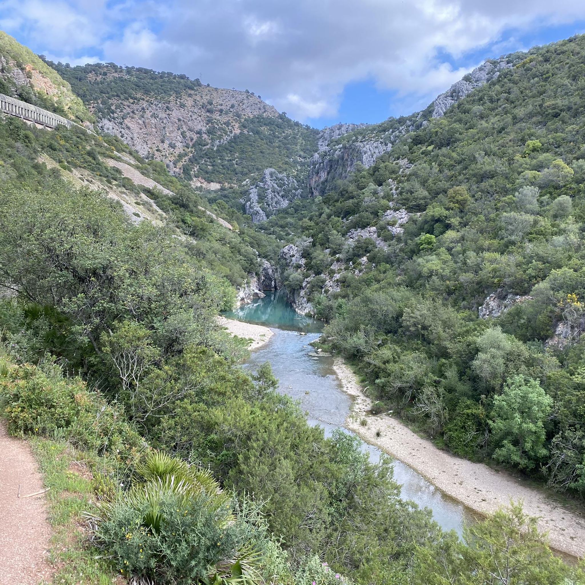
A gigantically beautiful viewpoint over the river and the “beach”. Like paradise………
0
0
Beautiful access to the river and a large "pebble beach" for lying down. From here you can swim into the gorge. Fantastically clear water with lots of fish. Access via the hiking trail is very easy and can be done by almost anyone. Certainly the highlight of this hiking trail.
0
0

La Sauceda is located in a very beautiful natural setting. It is famous for having been a refuge for many Andalusians during the beginning of the Spanish civil war.
0
0
The Moral lagoon is located in a part of the Route that is full of cork oaks and gall oaks. A wonderful place to see the colors of nature reflected in its crystalline waters. In summer it usually dries out.
0
0
Aljibe Peak is the highest point in the Alcornocales Natural Park. Likewise, it is also the mountain range that bears its own name. Don't miss the views from this border point between Cádiz and Málaga.
0
0
Frequently Asked Questions
How many hiking trails are available around Cortes De La Frontera?
Cortes De La Frontera offers a diverse network of over 10 hiking trails. These routes traverse varied terrain, from the karst mountains of Sierra de Grazalema to the dense cork oak forests of Los Alcornocales Natural Park.
What kind of landscapes can I expect to see while hiking here?
Hikers in Cortes De La Frontera will experience a rich tapestry of landscapes. You can explore the dramatic karst mountains and deep canyons of the Sierra de Grazalema Natural Park, or wander through the extensive cork oak forests of the Los Alcornocales Natural Park. The region is also characterized by the picturesque Guadiaro River valley, which has carved impressive gorges like the Cañón de las Buitreras.
Are there any easy hiking trails suitable for beginners or casual walkers?
Yes, there are several easy routes available. For instance, the Laguna del Moral – La Sauceda loop from SL-A 136 La Sauceda is an easy 5.4 km trail that takes just under 2 hours to complete, offering a pleasant stroll through the natural surroundings.
Can I find challenging hikes with significant elevation changes?
Absolutely. For those seeking a challenge, the region offers routes with considerable elevation. The Sierra de Los Pinos – circular from Cortes de la Frontera is a difficult 14.5 km trail featuring challenging climbs through the Sierra de Los Pinos, with an elevation gain of over 760 meters.
Are there any circular hiking routes in the area?
Yes, many trails in the area are circular, allowing you to start and end at the same point. A popular moderate option is the La Sauceda – Aljibe Peak loop from SL-A 136 La Sauceda, which is 8.9 km long and leads through dense cork oak forests towards Pico del Aljibe.
Are there hiking trails that feature water elements like rivers or waterfalls?
The Guadiaro River plays a significant role in the region's landscape, offering picturesque riverside walks. The dramatic Cañón de las Buitreras, carved by the Guadiaro, features stunning drops and waterfalls. You can also explore the Cueva del Gato, where the Gaduares River emerges with a natural waterfall. For a route along a river, consider the El Colmenar – Río Hozgarganta Swimming Spot loop from Gaucin, which follows riverside paths.
What natural landmarks or viewpoints can I explore on the trails?
The region is rich in natural landmarks. You can hike to the summit of Aljibe Peak for panoramic views, or visit the impressive Cañón de las Buitreras, known for its steep walls and griffon vulture colony. The Cueva del Gato and Hundidero-Gato Cave Complex are also remarkable for their extensive underground systems and natural waterfalls.
What do other hikers enjoy the most about hiking in Cortes De La Frontera?
The area is highly rated by the komoot community, with an average score of 4.5 stars from over 300 reviews. Reviewers often praise the diverse terrain, the stunning natural parks, and the well-maintained paths that offer a mix of easy strolls and challenging ascents through unique landscapes like the cork oak forests and karst mountains.
Is Cortes De La Frontera a good destination for family-friendly hikes?
Yes, Cortes De La Frontera offers options suitable for families. While some trails are challenging, there are easier routes with gentle gradients, particularly along the Guadiaro River valley, such as the Llanos de Líbar. These provide opportunities for families to enjoy nature together without overly strenuous climbs.
What is the best time of year to go hiking in Cortes De La Frontera?
The best time to hike in Cortes De La Frontera is generally during the spring (March to May) and autumn (September to November). During these seasons, the weather is milder, and the natural parks are vibrant with flora. Summers can be very hot, making early morning or late afternoon hikes preferable, while winters are generally mild but can bring rain.
Are there opportunities for birdwatching while hiking?
Yes, the region is excellent for birdwatching, especially within the natural parks. The Cañón de las Buitreras is particularly famous for its large colony of griffon vultures, offering exceptional opportunities to observe these magnificent birds in their natural habitat.
Are there any routes that lead to mountain passes?
Yes, the mountainous terrain around Cortes De La Frontera includes several passes that can be incorporated into hikes. Notable passes include Puerto de Encinas Borrachas and Puerto Navazuelos, which offer scenic viewpoints and are often part of longer routes through the Sierra de Grazalema and Los Alcornocales.
Most popular routes around Cortes De La Frontera
Most popular attractions around Cortes De La Frontera

Get inspired with the komoot mobile app


Explore more
Browse the best Hikes in other regions.
