The best running trails around Pozo De Guadalajara
4.7
(7)
456
runners
28
runs
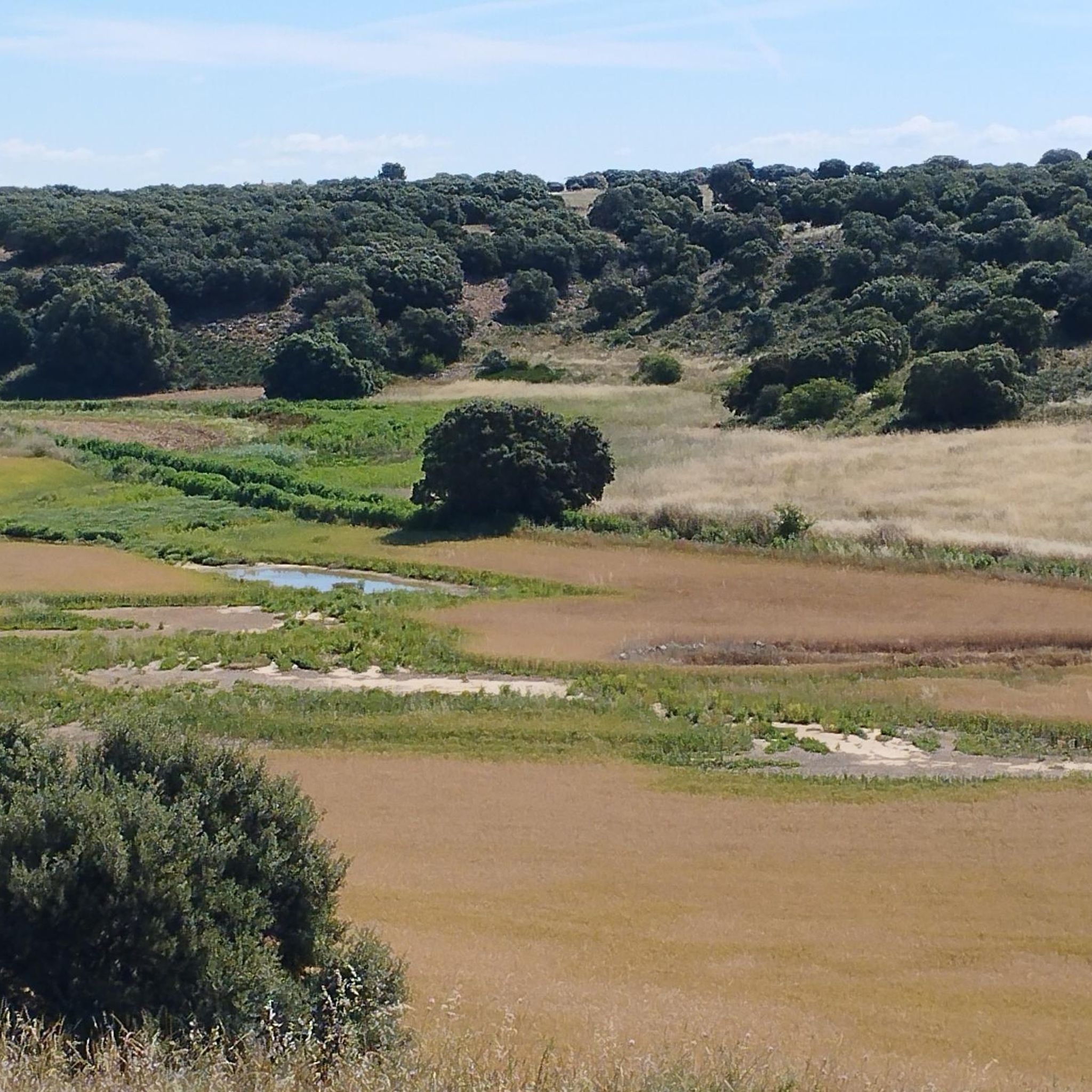
Jogging around Pozo De Guadalajara offers diverse routes across the Alcarria plateau, which separates the Henares and Tajuña river valleys. The terrain features a mix of flat stretches and gentle inclines, providing varied challenges for runners. The region includes natural protected areas with native vegetation, such as holm oaks and gall oaks, and a significant forest known as Monte de la Alcarria. These natural features create a serene environment for outdoor activities, including running.
Best jogging routes around Pozo De…
Last updated: October 1, 2026
5.0
(1)
37
runners
8.72km
00:57
10m
10m
Moderate run. Good fitness required. Mostly paved surfaces. Suitable for all skill levels.
16
runners
8.62km
00:53
30m
40m
Moderate run. Good fitness required. Mostly paved surfaces. Suitable for all skill levels.

5.0
(1)
8
runners
15.7km
01:41
100m
100m
Hard run. Very good fitness required. Mostly paved surfaces. Suitable for all skill levels.
6
runners
9.44km
01:16
310m
310m
Hard run. Very good fitness required. Mostly paved surfaces. Suitable for all skill levels.
18
runners
18.6km
02:17
310m
310m
Hard run. Very good fitness required. Mostly paved surfaces. Suitable for all skill levels.
Get access to more routes and recommendations from other explorers.
Already have an account?
Our route recommendations are based on thousands of hikes, rides, and runs completed by other people on komoot.
Start today with a free account
Your next adventure awaits.
Tips from the Community

Viewpoint with Recreation Area over the beautiful town of Chiloeches.
1
0

Beautiful church in the town of Azuqueca de Henares.
1
0
The Plaza de la Constitución and the town hall of Azuqueca de Henares. Roman city of historical importance on the banks of the Henares River.
2
0
Surrounded by pine trees, the path to the Mirador de la Peñalba is covered in needles and pine cones. Just smell the pine trees and enjoy the calm of the forest.
1
0
Walking along the wooded path surrounded by pine forests above the town of Chiloeches you reach the Mirador de la Peñalba. The panoramic place with views of the city and the valley.
2
0

On the Red List of Heritage for its "state of ruin and abandonment". The building, from the 16th century, was occupied until the 17th century. Exactly until the year 1767, the year in which Carlos III expelled the Society of Jesus, the Jesuits, from Spain.
3
0
In the main square, centered by a large fountain with four spouts that ends in a ball on which the date 1832 appears, the clock tower stands out, with several bodies, and the building of the parish church, dedicated to San Pedro Apóstol.
3
0

Unbeatable views over Loranca de Tajuña and the valley from the ruins of the Jesús del Monte Convent.
0
0
Frequently Asked Questions
How many running routes are available in and around Pozo De Guadalajara?
There are over 20 running routes available in the Pozo De Guadalajara area, catering to various fitness levels. These include 2 easy routes, 15 moderate routes, and 4 more challenging options.
What kind of terrain can I expect on jogging trails near Pozo De Guadalajara?
Jogging trails in Pozo De Guadalajara offer a diverse mix of terrain. You'll find routes across the high plain of the Alcarria plateau, which includes both flat stretches and gentle inclines. Some paths follow the picturesque Tajuña River, while others lead through forested areas like the Monte de la Alcarria, featuring native holm and gall oaks.
Are there any easy jogging routes suitable for beginners or a relaxed run?
Yes, there are easy jogging routes available. While specific beginner routes aren't highlighted, the region offers paths with gentle inclines and flat stretches, particularly along the Tajuña River, which are suitable for a relaxed pace or those new to running. Komoot lists 2 easy routes in the area.
Can I find circular running routes in Pozo De Guadalajara?
Yes, many of the running routes in the area are circular, allowing you to start and finish at the same point. For example, the Running loop from Azuqueca de Henares is a popular moderate circular route, as is the Parish Church of San Miguel – Quebradilla Park loop from Azuqueca.
What do other runners say about the trails in Pozo De Guadalajara?
The running routes in Pozo De Guadalajara are highly regarded by the komoot community, holding an average rating of 4.6 stars from over 10 reviews. Runners often praise the varied terrain, from river paths to forested areas, and the serene natural environment that makes for an enjoyable outdoor experience.
Are there any scenic viewpoints or natural attractions along the running paths?
Absolutely. The region boasts several scenic spots. You might encounter the Peña Bermeja Viewpoint, offering significant vistas, or run alongside the beautiful Road Along the Tajuña River. Other natural highlights include the Cuevas Blancas Rock Formations and the Cueva del Pastor.
Are there any historical landmarks I can see while running or nearby?
Yes, the area around Pozo De Guadalajara is rich in history. You could incorporate a visit to the nearby Pioz Castle into your outing. The Valmores Fountain, linked to local traditions, and the San Mateo Parish Church (Romanesque-Mudéjar origin) are also notable historical points of interest.
What are some longer running routes for experienced runners?
For more experienced runners seeking a challenge, there are longer and more difficult routes. The Running loop from Loranca de Tajuña is a difficult 9.4 km trail with significant elevation changes. Another option is the moderate Parish Church of San Miguel loop from Azuqueca, which covers 12.8 km.
Are there any specific areas with protected natural environments for running?
Yes, the municipal plan for Pozo De Guadalajara identifies areas designated as 'Suelo Rústico de Protección Natural' (Rustic Land of Natural Protection). These zones, which include forest formations and native vegetation like holm and gall oaks, offer well-preserved natural environments ideal for running and exploration.
What is the best time of year for running in Pozo De Guadalajara?
The varied terrain of Pozo De Guadalajara, with its mix of open plains and forested areas, makes it suitable for running across multiple seasons. The Monte de la Alcarria forest can offer shaded and cooler environments during warmer months, while the open plains provide refreshing runs during milder seasons. Consider spring and autumn for pleasant temperatures, though winter runs can also be invigorating.
Are there any routes that pass through urban green spaces?
Yes, some routes incorporate urban green spaces. For instance, the Quebradilla Park – Parish Church of San Miguel loop from Azuqueca de Henares leads through local parks, offering a blend of natural and urban environments for your run.
Most popular routes around Pozo De Guadalajara
Most popular attractions around Pozo De Guadalajara

Get inspired with the komoot mobile app


Explore more
Browse the best Running Trails & Routes in other regions.
