The best cycling routes around Pozo De Almoguera
5.0
(3)
35
riders
9
rides
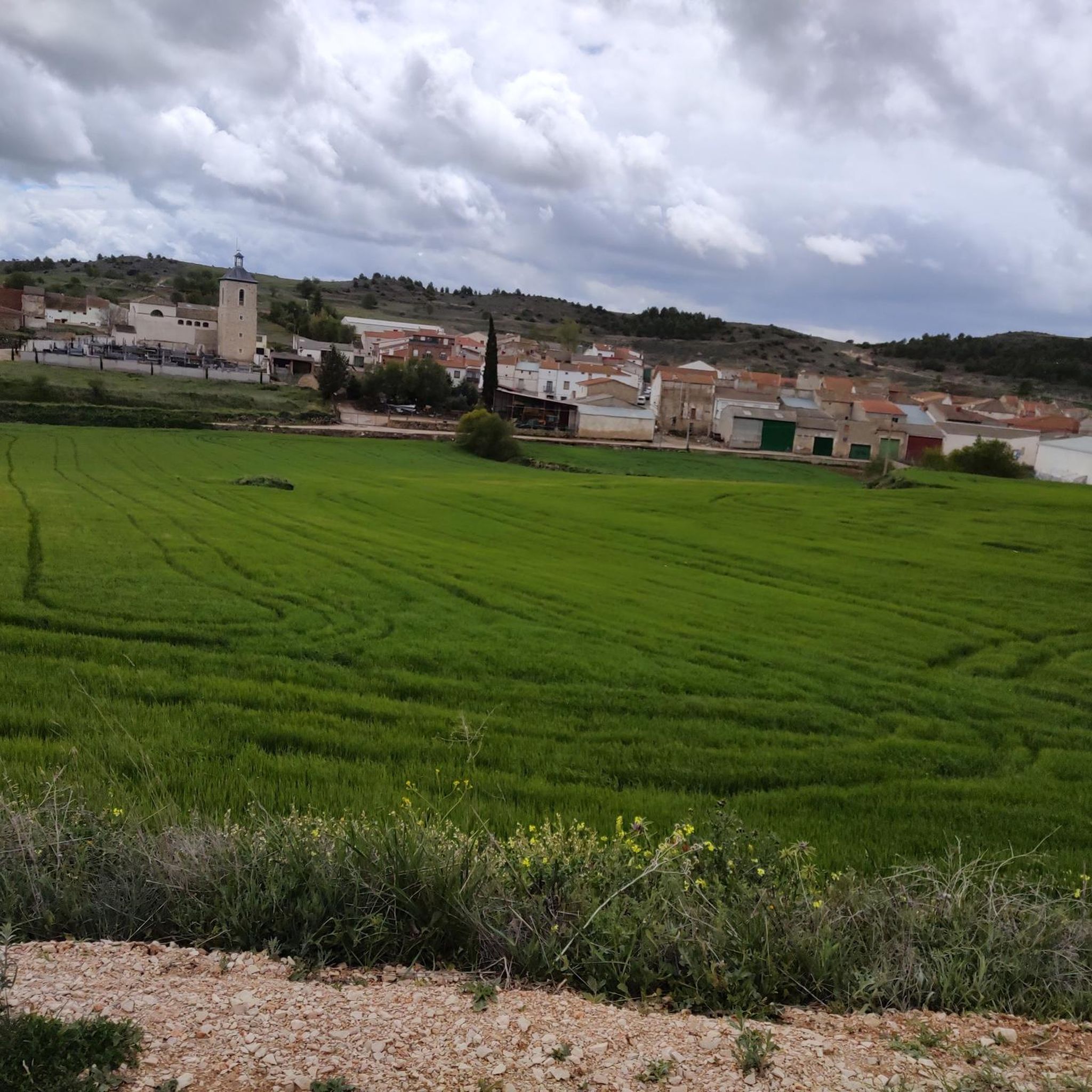
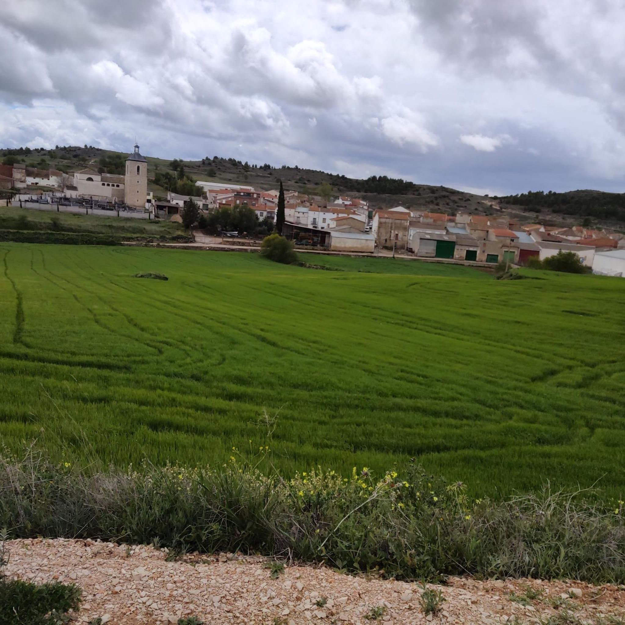
Touring cycling around Pozo De Almoguera features a distinctive plateau landscape in the Baja Alcarria region of Guadalajara, Spain. The terrain includes gentle slopes, agricultural fields, and Mediterranean forests, making it suitable for various cycling preferences. River valleys, such as the Tajuña River, offer lush riparian scenery that contrasts with the open cultivated areas. The geology of limestones and gypsum contributes to broad valleys and varied routes.
Best touring cycling routes around Pozo De Almoguera
- The most popular touring cycling…
Last updated: October 1, 2026
5
riders
39.3km
03:06
350m
350m
Moderate bike ride. Good fitness required. Mostly paved surfaces. Suitable for all skill levels.
5
riders
59.0km
03:41
580m
570m
Hard bike ride. Very good fitness required. Mostly paved surfaces. Suitable for all skill levels.

5.0
(1)
11
riders
36.8km
02:44
250m
250m
Moderate bike ride. Good fitness required. Mostly paved surfaces. Suitable for all skill levels.
5.0
(1)
4
riders
56.8km
05:03
560m
560m
Hard bike ride. Very good fitness required. Mostly paved surfaces. Suitable for all skill levels.
2
riders
19.2km
01:42
210m
210m
Moderate bike ride. Good fitness required. Mostly paved surfaces. Suitable for all skill levels.
Get access to more routes and recommendations from other explorers.
Already have an account?
Our route recommendations are based on thousands of hikes, rides, and runs completed by other people on komoot.
Start today with a free account
Your next adventure awaits.
Popular around Pozo De Almoguera
Tips from the Community

I saw that there is a recreational and bathing area on the river that could be interesting on hot days. From what I saw, access is subject to a fee.
0
0

The landscapes from Ambite to Mondejar are worth seeing.
0
0

The paved section ends here.
0
0

Panoramic views with great beauty
0
0

The white and blue signs of the Camino de Uclés are paired with the yellow arrows of the Camino de Santiago de Uclés, one of the variants of the Jacobean routes that leaves for Santiago de Compostela from the Monastery of Uclés, one of the heads (Caput Ordinis) of the Order of Santiago from the 13th century.
0
0

It is called that precisely because it took that long to build it (although in reality it was more days) but we can still enjoy its layout in some parts.
0
0

In the agricultural wastelands of Valdaracete, a striking journey towards the Tagus River begins through a curious landscape of clay hills and whitish marls in a desert and steppe environment, especially in the hard slides of Cerro de la Muela, a desert in Las Vegas, where the gypsum gullies that can become hell for pedaling on rainy days. The sensation of navigating a bicycle through distant and exotic latitudes ends when the road leaves the valley of the Valle stream, passes through the A-3 tunnel and ends in Fuentidueña de Tajo.
1
0
The Cañada Real Soriana Oriental runs through the north of the municipality of Brea de Tajo through a landscape of crops and pastures of oaks with abundant stands of kermes oaks and gall oaks, making up a territory of great environmental quality of ocher and red hills populated by some centenary specimens. The route of the livestock route is integrated into several local hiking routes, it has rest areas, a point of interest with interpretive panels and several cabins from the glorious era of the Concejo de la Mesta, used for centuries by shepherds on long migratory journeys. . On the side of the road appears the Cabaña del Quiñonero, which has been rehabilitated and shows the main elements of pastoral constructions, with one floor covered by a conical vault and another rectangular room that was used to store livestock. The path crosses the Orusco de Tajuña highway and enters a terrain of slides populated by dense forests of oaks and gall oaks of monumental size on Mount El Robledal. In one of the valleys appears the Pozo de la Yesera, an old traditional well used by herds as a resting place. And shortly after, at the end of the next slope, are the old Corrales del Calero, like sentinels at the top of a solitary hill adorned with an ancient almond tree. By bicycle the path passes quickly, crosses the Cordel de las Merinas and immediately crosses the Carabaña road and the 40 Days Train, in this section converted into a Greenway. At the intersection there is a small rest area and an information panel. The 40 Day Train was a military railway line built in record time during the Civil War between Tarancón and Torrejón de Ardoz to supply the Republican troops fighting in the trenches of the capital. In reality, it took one hundred days to launch the line and it was known as Vía Negrín after the head of the government who ordered the construction in 1937.
0
0
Frequently Asked Questions
What kind of landscapes will I encounter while touring cycling around Pozo De Almoguera?
The region features a distinctive plateau landscape with gentle slopes, agricultural fields, and Mediterranean forests. You'll also find lush riparian scenery along river valleys like the Tajuña River, which contrasts beautifully with the more open cultivated areas. The geology, formed from ancient sea beds, includes limestones and gypsum, creating broad valleys and varied terrain.
How many touring cycling routes are available in the Pozo De Almoguera area?
There are 5 touring cycling routes detailed in this guide, offering a range of experiences across the region's diverse landscapes. These include both moderate and difficult options.
Are there any easy touring cycling routes suitable for beginners or those looking for a relaxed ride?
While the routes listed in this guide are categorized as moderate to difficult, the broader area, particularly the Tajuña Greenway, is known for its relatively flat and traffic-free paths, which are ideal for leisurely touring. For a moderate option, consider the Mondéjar loop from Mondéjar, which leads through agricultural land and gentle hills.
Are there any circular touring cycling routes around Pozo De Almoguera?
Yes, several routes are designed as loops. For example, the Almoguera Castle – Ruins of the Vállaga Castle loop from Albares is a challenging 64.3 km circular route offering views of historical landmarks. Another option is the Mondéjar loop from Mondéjar, a moderate 30.4 km ride through agricultural land.
What are some interesting places to see or landmarks along the touring cycling routes?
You can explore various points of interest. The Almoguera Castle – Ruins of the Vállaga Castle loop from Albares offers historical views. The region also features the Road Along the Tajuña River, the Vega del Tajuña Nature Center, and the Old Ambite Station. Further afield, you might visit the Recópolis Archaeological Site or the Zorita de los Canes Castle.
Is Pozo De Almoguera a good destination for family touring cycling?
The region's generally gentle slopes and low-traffic roads make it appealing for families. The Tajuña Greenway, in particular, offers flat, traffic-free paths that are excellent for family rides. While specific family-friendly routes aren't highlighted in this guide, the overall environment is conducive to enjoyable cycling with children.
Can I bring my dog on the touring cycling routes?
Many outdoor areas in Spain are dog-friendly, especially on trails and rural roads. However, it's always advisable to keep your dog on a leash, especially near agricultural areas or wildlife, and to check local regulations for specific routes or protected areas. Ensure your dog is fit enough for the chosen distance and difficulty.
Where can I find parking when accessing the touring cycling routes?
Given the rural nature of the area, parking is generally available in or near the villages that serve as starting points for routes. For example, routes like the Almoguera Castle – Plaza de Yebra Fountain loop from Albares often start from towns like Albares, where you can typically find street parking. The Vega del Tajuña Nature Center, housed in an old train station, also serves as a hub and may offer parking facilities.
What is the best time of year to go touring cycling in Pozo De Almoguera?
The spring and autumn months are generally ideal for touring cycling in this region. The weather is milder, and the landscapes are vibrant. Summers can be hot, especially in July and August, while winters are cooler but often still suitable for cycling on sunny days. Always check the local forecast before heading out.
Are there places to rent bicycles in Pozo De Almoguera?
Yes, the Vega del Tajuña Nature Center, located in an old train station, serves as a convenient hub for cyclists and provides bicycle rentals. This is a great option if you don't bring your own bike or need equipment.
What do other touring cyclists enjoy most about cycling in Pozo De Almoguera?
The area is highly rated by the komoot community, with an average score of 5.0 stars. Reviewers often praise the tranquil, low-traffic roads, the diverse landscapes ranging from agricultural fields to Mediterranean forests, and the scenic river valleys. The opportunity to combine natural exploration with visits to charming traditional villages is also a highlight.
Are there any routes that follow old railway lines or greenways?
Yes, a significant feature for touring cyclists in the area is the Tajuña Greenway (Vía Verde del Tajuña). These routes, often converted from old railway lines, typically offer relatively flat and traffic-free paths, providing a unique way to experience the landscape without vehicular traffic. The Old Ambite Station is a highlight along such a route.
What is the most challenging touring cycling route in this guide?
The most challenging routes in this guide are categorized as 'difficult'. Both the Almoguera Castle – Plaza de Yebra Fountain loop from Albares (46.7 km) and the Almoguera Castle – Ruins of the Vállaga Castle loop from Albares (64.3 km) offer significant elevation gains and longer distances, traversing the plateau and combining open fields with sections near traditional villages.
Most popular routes around Pozo De Almoguera
Most popular attractions around Pozo De Almoguera

Get inspired with the komoot mobile app


Explore more
Browse the best Cycling routes in other regions.
