The best MTB trails around Buenaventura
4.6
(14)
219
riders
25
rides
Mountain biking around Buenaventura offers a diverse landscape characterized by significant elevation changes and varied terrain. The region features numerous trails that wind through mountainous areas, providing challenging ascents and descents. Riders can expect to encounter a mix of forest paths and open stretches, often leading to panoramic viewpoints. This area is well-suited for mountain bikers seeking demanding routes with substantial climbs.
Best mountain bike trails around Buenaventura
- The most popular mountain bike trail is Mijares – Mijares loop from…
Last updated: October 11, 2026
39
riders
55.5km
06:12
1,840m
1,840m
Hard mountain bike ride. Very good fitness required. Advanced riding skills necessary. Some portions of the route may require you to push your bike.
4.5
(4)
11
riders
55.3km
05:15
1,230m
1,230m
Hard mountain bike ride. Very good fitness required. Advanced riding skills necessary.

8
riders
48.7km
05:37
1,520m
1,520m
Hard mountain bike ride. Very good fitness required. Advanced riding skills necessary. Some portions of the route may require you to push your bike.
7
riders
50.5km
05:33
1,530m
1,530m
Hard mountain bike ride. Very good fitness required. Advanced riding skills necessary.
5.0
(1)
6
riders
32.3km
03:09
670m
670m
Moderate mountain bike ride. Good fitness required. Suitable for all skill levels.
Get access to more routes and recommendations from other explorers.
Already have an account?
Our route recommendations are based on thousands of hikes, rides, and runs completed by other people on komoot.
Start today with a free account
Your next adventure awaits.

Tips from the Community

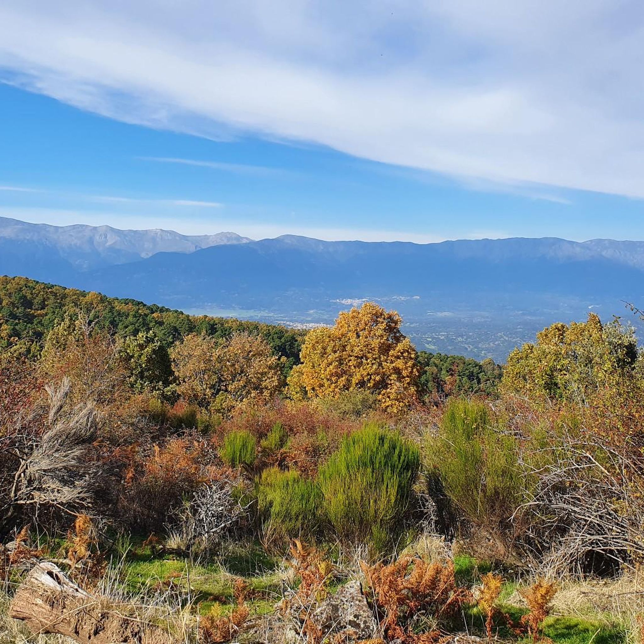
The Pedro Bernardo Pass is one of the classic climbs in the Sierra de Gredos mountains, highly prized by cyclists and a regular feature of races like the Vuelta a España. First section: Up to the village (Pedro Bernardo), with gradients of 5-6%, a road in good condition, and spectacular views of the Tiétar Valley. Urban section: In the village, the gradient eases, even offering some flatter sections. Second section: After the village, the asphalt becomes rougher, and the toughest kilometer (7-8%) appears, followed by a "balcony" section with incredible views and a sustained 5% gradient to the summit.
1
0

There are accommodations and shops
0
0


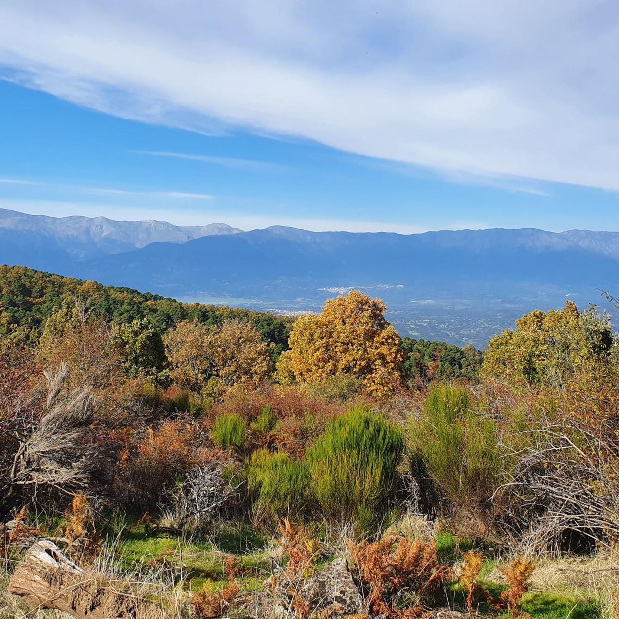
The Puerto de Pedro Bernardo is the younger brother of the Puerto de Serranillos. Almost every time this port has been climbed in a professional race it is linked to the Puerto de Serranillos, only the second being considered a port. However, the Puerto de Pedro Bernardo is in itself a hill where you can go from the valley where the CL-501 road runs (where the town with the same name is located) to the valley of the Puerto de Pico, where Esteban del Valle and Mombeltrán are located. The chain with Serranillos is the most typical, as I said previously, although it is also worth chaining it with the Puerto de la Centenera or the Puerto del Pico. The road is rough, with hardly any shoulder and very little traffic. It is a very pleasant port to climb... as long as the heat is not suffocating.
2
0

Gavilanes is a small municipality in Ávila, with only 600 inhabitants. It has a natural pool in the Chorro gorge, located southwest of the town, on Pedro Bernardo Avenue. However, its greatest attraction, which is worth visiting, is the waterfall in the Chorro gorge, two kilometers from the town, near the Machine House. It is the highest waterfall in the community.
1
0
Mijares is located on the banks of the Las Torres gorge, which has given rise to a very quiet natural pool in a wonderful environment. In addition to this pool, there are two natural pools where you can enjoy a refreshing swim on a hot day: the Lucero pool and the Largo pool. At the top of the pool, there is a kiosk. It also has a small pool for children, which uses chlorinated water.
2
0
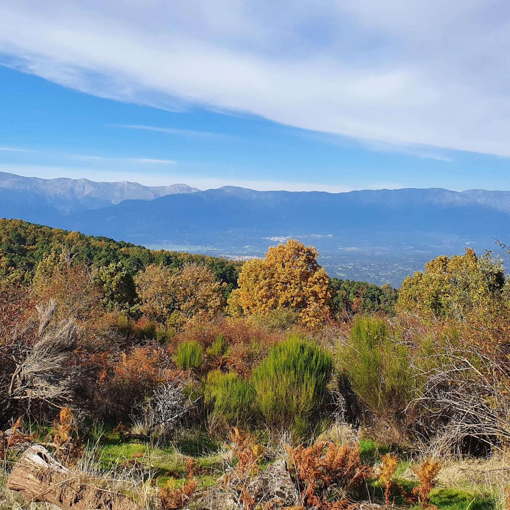
Mijares is located on the southern slope of the Villafranca mountain range, near the Tiétar river. The town is surrounded by a natural environment with forests and mountains, which makes it an attractive place for nature and hiking lovers. The most important points of the town are the parish church of San Bartolomé Apóstol, rebuilt in the 18th century, and the Plaza Mayor, the nerve center of the municipality, where various businesses are located and local events and activities are held.
2
0
Frequently Asked Questions
How many mountain bike trails are available around Buenaventura?
There are over 20 mountain bike trails around Buenaventura listed on komoot. The majority of these are rated as moderate or difficult, with 10 moderate and 9 difficult routes, catering to riders seeking a challenge.
Are there any easy mountain bike trails suitable for beginners in Buenaventura?
While the region is known for its challenging terrain, there is at least one easy mountain bike trail available. Most routes in Buenaventura feature significant elevation changes and varied terrain, making them more suitable for intermediate to advanced riders.
What kind of elevation gain can I expect on mountain bike trails in Buenaventura?
Mountain bike trails in Buenaventura are characterized by substantial elevation changes. For example, the Mijares – Mijares loop from Pedro Bernardo involves over 1800 meters of ascent, while the Mirador del Rollo – Pedro Bernardo loop from Pedro Bernardo features over 1500 meters of climbing. Riders should be prepared for demanding ascents.
Are there any loop trails for mountain biking in Buenaventura?
Yes, many of the mountain bike routes in Buenaventura are designed as loops. Popular options include the Mijares – Mijares loop from Pedro Bernardo, the Firefighting Water Reservoir – Puerto de Pedro Bernardo loop from Pedro Bernardo, and the Mirador del Rollo – Pedro Bernardo loop from Pedro Bernardo.
What are some notable viewpoints along the mountain bike trails in Buenaventura?
The region offers numerous panoramic viewpoints due to its mountainous terrain. Trails often lead to scenic spots like the Puerto de Pedro Bernardo or areas near San Vicente Hill (1320m), providing expansive views of the surrounding landscape.
What do other mountain bikers enjoy most about the trails in Buenaventura?
The mountain bike trails in Buenaventura are highly rated by the komoot community, with an average score of 4.6 stars. Riders often praise the challenging ascents, varied forest paths, and the rewarding panoramic viewpoints that define the area's riding experience.
Are there any specific attractions or landmarks to see while mountain biking in Buenaventura?
Yes, several points of interest can be found along or near the trails. You might pass through settlements like Almendral de la Cañada, or encounter mountain passes such as Puerto de Pedro Bernardo and El Piélago Pass. There are also peaks like Risco de la Vela offering impressive views.
What is the best time of year for mountain biking in Buenaventura?
The best time for mountain biking in Buenaventura is typically during spring and autumn when temperatures are milder and the weather is generally more stable. Summer can be very hot, especially at lower elevations, while winter may bring colder temperatures and potential snow at higher altitudes, making some trails less accessible.
What should I wear for mountain biking in Buenaventura?
Given the significant elevation changes and varied terrain, it's advisable to wear layers that can be adjusted to changing conditions. Technical wicking fabrics, padded shorts, and sturdy mountain biking shoes are recommended. Always bring a helmet, gloves, and eye protection. Depending on the season, consider a lightweight rain jacket and sun protection.
Are there any mountain bike trails in Buenaventura that are accessible by public transport?
While specific public transport links directly to trailheads can be limited in mountainous regions, some routes start from towns like Pedro Bernardo. It's recommended to check local bus schedules to nearby villages, but a car is often the most convenient way to access many of the trail starting points in Buenaventura.
Where can I find parking for mountain bike trails in Buenaventura?
Many trails, especially those starting from villages like Pedro Bernardo or Navamorcuende, will have designated parking areas. It's best to check the specific route details on komoot for information on parking availability at the trailhead you plan to use, as options can vary.
Are there any family-friendly mountain bike trails in Buenaventura?
Buenaventura's mountain biking is largely characterized by challenging routes with significant climbs and varied terrain. While there is one easy trail, most routes are rated moderate to difficult, which might be too demanding for younger children or families seeking very gentle rides. For family-friendly options, look for routes specifically marked as 'easy' or consider shorter, less technical sections if available.
Most popular attractions around Buenaventura

Get inspired with the komoot mobile app


Explore more
Browse the best MTB trails in other regions.
