The 16 Most Amazing Peaks around La Torre De Les Maçanes/Torremanzanas
Best mountain peaks around La Torre De Les Maçanes/Torremanzanas offer a diverse mountainous landscape with notable landmarks and viewpoints. The region is characterized by its terrain, traditional agricultural areas, and riverine environments, providing opportunities for outdoor activities. These areas feature popular hiking trails and routes, with many peaks offering panoramic views of the surrounding landscapes, including terraced fields and the Mediterranean Sea on clear days. The area is a haven for hikers, with a network of routes suitable for various…
Last updated: May 17, 2026
Port de Tudons
Highlight • Mountain Pass
Translated by Google •
Tip by

Carrasqueta Pass
Highlight • Mountain Pass
Surface in …
Translated by Google •
Tip by

Sign up now to discover places like this
Get recommendations on the best single tracks, peaks, & plenty of other exciting outdoor places.
Sign up for free
View of Puig Campana
Highlight • Viewpoint
Translated by Google •
Tip by

Alto del Menejador
Highlight • Summit
Translated by Google •
Tip by
Alt de la Martina
Highlight • Summit
Translated by Google •
Tip by

Sign up for free to discover even more peaks around La Torre De Les Maçanes/Torremanzanas.
Sign up for free
Already have an account?
Start today with a free account
Your next adventure awaits.
Login or Signup
Popular around La Torre De Les Maçanes/Torremanzanas
Discover Alicante – Costa Blanca Inland Path (GR 330)
MTB Trails around La Torre De Les Maçanes/Torremanzanas
Cycling around La Torre De Les Maçanes/Torremanzanas

Gravel biking around La Torre De Les Maçanes/Torremanzanas
Road Cycling Routes around La Torre De Les Maçanes/Torremanzanas
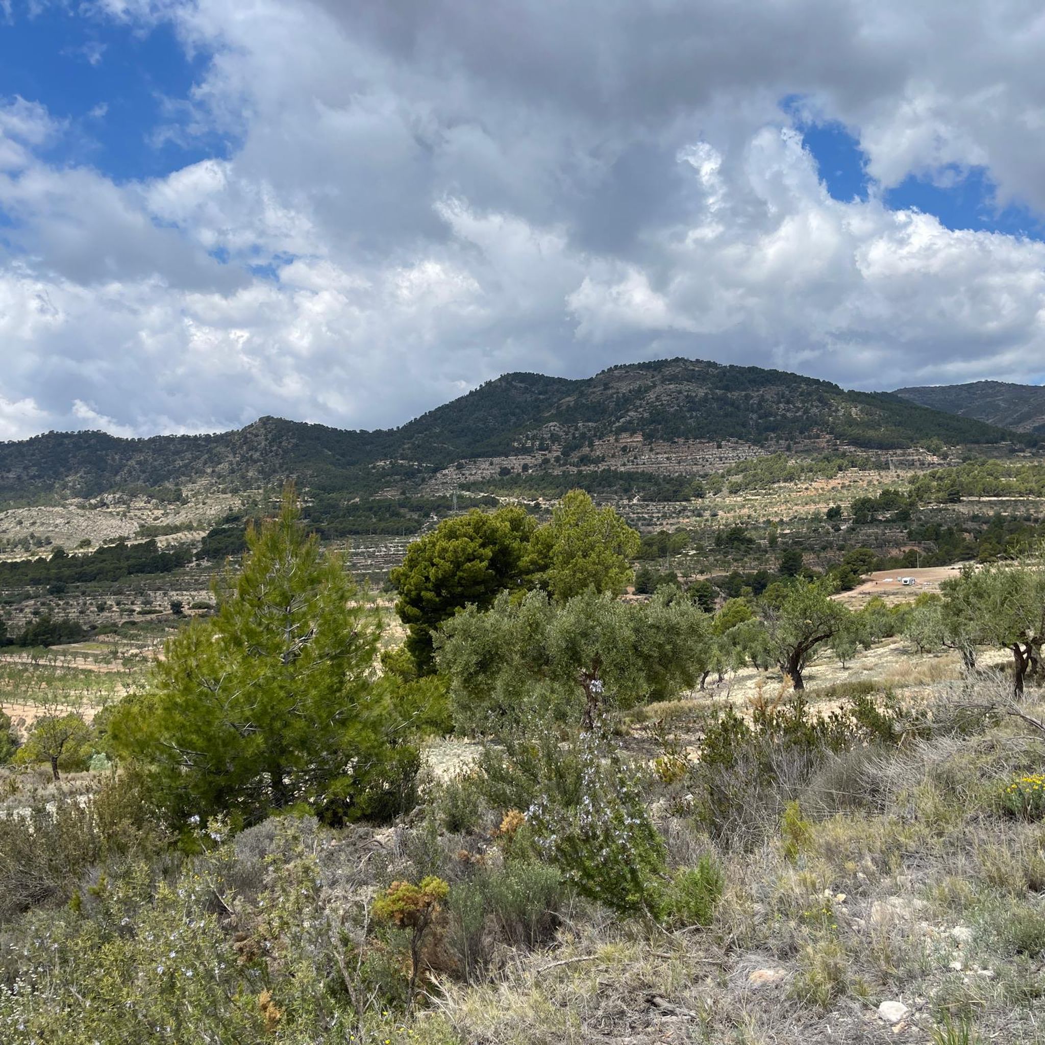
Hiking around La Torre De Les Maçanes/Torremanzanas
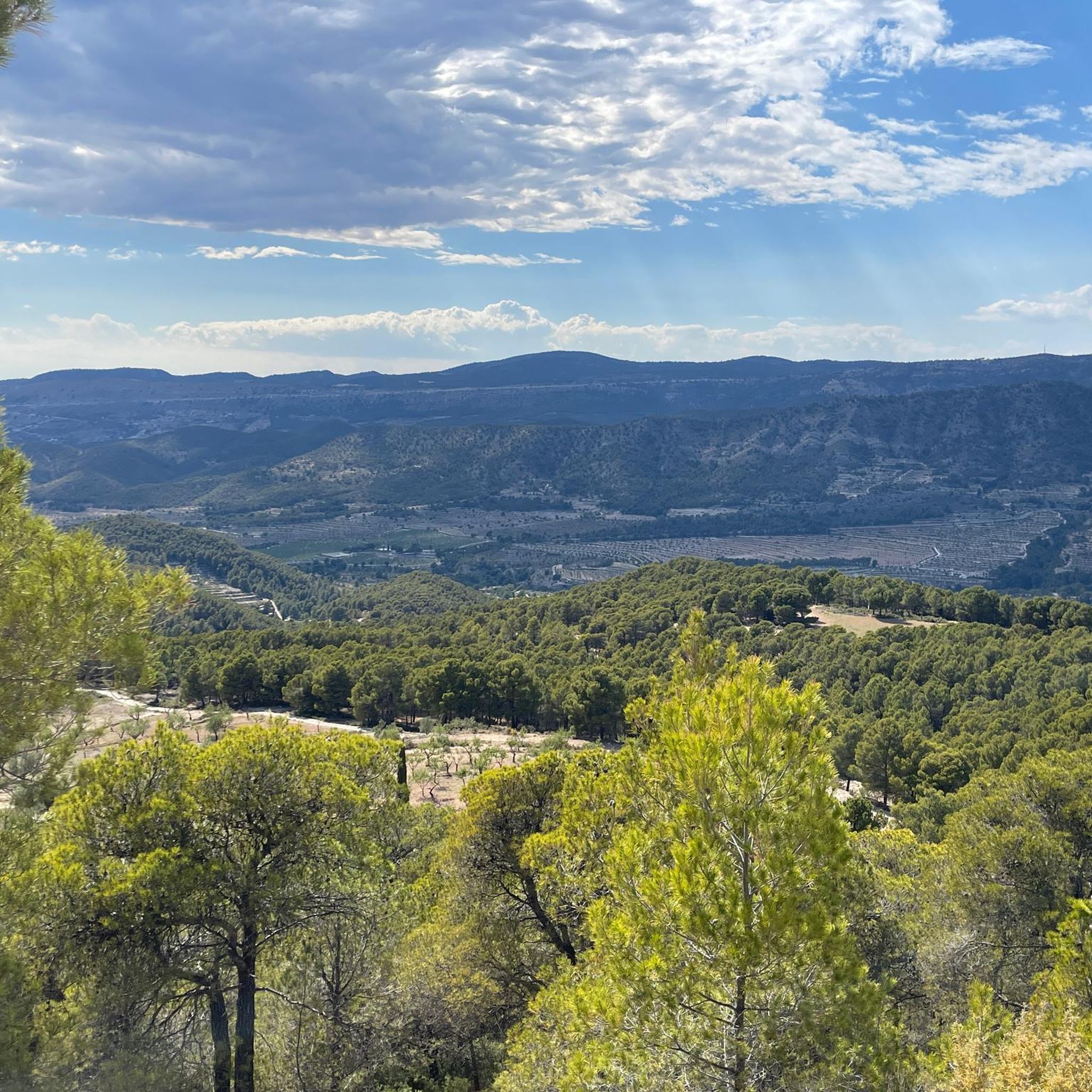
Running Trails around La Torre De Les Maçanes/Torremanzanas
Other adventures around La Torre De Les Maçanes/Torremanzanas

Tips from the Community


Superb panorama of La Canal and Foya d'Alcoy
0
0


route with track, path and very technical descents. It requires good form. spectacular views from La Martina.
0
0

Impressive climb to the Tudons port, impressive views, and on the way down good places to stop for a drink, without rushing
4
0

This summit is located 1093 meters above sea level. Here, there is a forest surveillance booth and a fenced fire pond. The panoramic views from this point to Jijona, Ibi and the surrounding mountains are excellent.
1
0

Even after the repeated climb to Puerto de Tudons, you still have this great feeling of having reached your destination. Driven different routes, always an experience that stays in your memory for a long time. The effort is worth it and the departure is an event. Eddy Current.
3
0

It is a port without great demands (maximum slope of 10%) that will allow us to enjoy the landscape of pine and holm oak trees and the wide views of the coast that open up at the top. We start in Alcoi, at the Fernando Reig bridge over the Barxell river taking the N-340 in the direction of Xixona. It is a long straight uphill stretch with a service road on the right that we can take for a kilometer (until the intersection with the CV-797, Font Roja road) to avoid traffic as much as possible.
0
0
Frequently Asked Questions
What are some of the most popular mountain peaks and passes to visit around La Torre De Les Maçanes/Torremanzanas?
The region offers several highly-rated mountain peaks and passes. Port de Tudons is a popular mountain pass known for its impressive views and exhilarating descents. Another favorite is Carrasqueta Pass, reaching 1020 meters, offering beautiful vistas towards the interior of Alicante. For a true summit experience, Alto del Menejador provides incredible 360-degree views from its 1350-meter peak within the Carrascar de la Font Roja natural park.
Where can I find the best panoramic views of the surrounding landscapes?
Many peaks in the area offer breathtaking panoramic views. Alto del Menejador, at 1350 meters, is renowned for its incredible 360-degree vistas. Els Plans Summit also provides extensive views, including the Sierra de Mariola and, on clear days, the Mediterranean Sea. For a distinct perspective, the View of Puig Campana offers a cool perspective of this prominent 1408-meter mountain.
Are there any cultural or historical sites near the mountain peaks?
Yes, the region has cultural and historical significance. The Serra dels Plans, which includes Els Plans Summit, is home to the UNESCO World Heritage-listed Cave Paintings of La Sarga. Additionally, many hiking routes in the mountainous areas pass by historical snow wells, which are remnants of traditional practices.
What kind of hiking opportunities are available around La Torre De Les Maçanes/Torremanzanas?
The region is a haven for hikers, offering a network of routes for various ability levels. Trails to peaks like Els Plans Summit are generally considered moderate, taking about 4 hours. Cabeç de Corbó offers moderate loops typically around two hours. You can explore a variety of routes, including those that lead to historical snow wells, by checking out the running trails guide, which also features hiking options.
Are there any mountain passes popular with cyclists?
Absolutely. The Carrasqueta Pass, at 1020 meters, is highly frequented by cyclists and offers beautiful vistas of the Alicante mountains. Port de Tudons is another popular mountain pass for cyclists, known for its challenging climbs and rewarding descents. You can find more cycling routes in the road cycling guide and the general cycling guide.
What is the difficulty level of hiking to these mountain peaks?
The difficulty varies. Peaks like Els Plans Summit involve moderate hikes, often taking around 4 hours. Cabeç de Corbó offers moderate loops that can be completed in about two hours. Some routes, especially those involving significant elevation gain like the ascent to Alt de la Martina, can be challenging, with some sections requiring walking even for experienced cyclists.
What can I expect from the views at Alt de la Martina?
From Alt de la Martina, located at 1093 meters above sea level, you can expect excellent panoramic views towards Jijona, Ibi, and the surrounding mountains. There's also a forest surveillance booth and a fenced fire pond at the summit.
Are there any less strenuous options for enjoying mountain views?
Yes, Cerro del Racó de Xomarra offers excellent panoramic views and is often included in hiking routes that encompass Els Plans Summit, providing a slightly less strenuous ascent after the main climb. The View of Puig Campana is also a viewpoint that allows you to appreciate the mountain without a full ascent.
What kind of natural features can I expect to see while exploring the mountain peaks?
The region is characterized by diverse mountainous terrain, traditional agricultural areas with terraced fields of almond and olive cultivation, and riverine environments. You'll encounter forests, especially around Alt de la Martina and Alto del Menejador, and on clear days, you can even spot the Mediterranean Sea from higher elevations.
What do visitors enjoy most about the mountain peaks around La Torre De Les Maçanes/Torremanzanas?
Visitors frequently praise the breathtaking panoramic views from various peaks and passes, the extensive hiking opportunities for all levels, and the tranquil environment of the region. The feeling of accomplishment after reaching a summit like Port de Tudons, followed by an impressive descent, is also a highlight for many.
Can I find circular hiking routes around the mountain peaks?
Yes, circular routes are available. For instance, moderate hiking loops that include Cabeç de Corbó typically take around two hours. A loop trail starting from Serra de la Carrasqueta can also lead to Els Plans Summit, offering diverse scenery. Many routes in the area are designed as loops, providing varied experiences.
What is the best time of year to visit the mountain peaks in this region?
While specific seasonal recommendations aren't detailed, the region's diverse landscape and hiking opportunities suggest that spring and autumn would be ideal for comfortable temperatures and clear views. Summers can be hot, and winters might bring cooler weather to higher elevations, so checking local weather conditions is always advisable.
Most popular routes around La Torre De Les Maçanes/Torremanzanas
Most popular attractions around La Torre De Les Maçanes/Torremanzanas

Get inspired with the komoot mobile app


Explore more
See even more amazing summits around La Torre De Les Maçanes/Torremanzanas with these guides:
