The best road cycling routes around Arevalillo De Cega
4.5
(2)
308
riders
38
rides
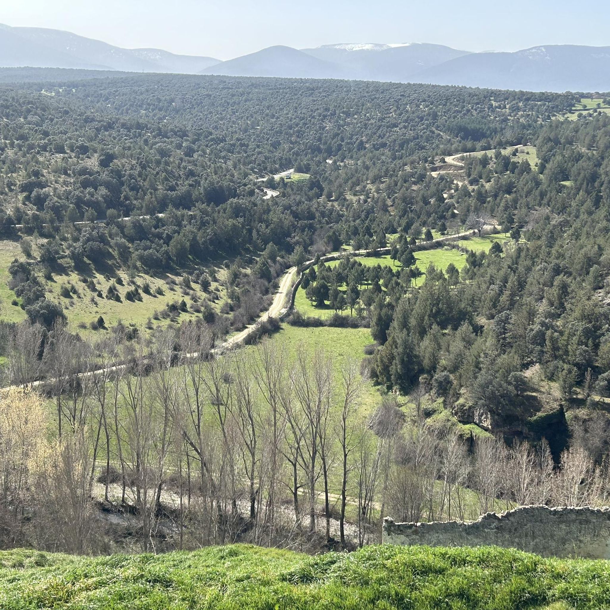
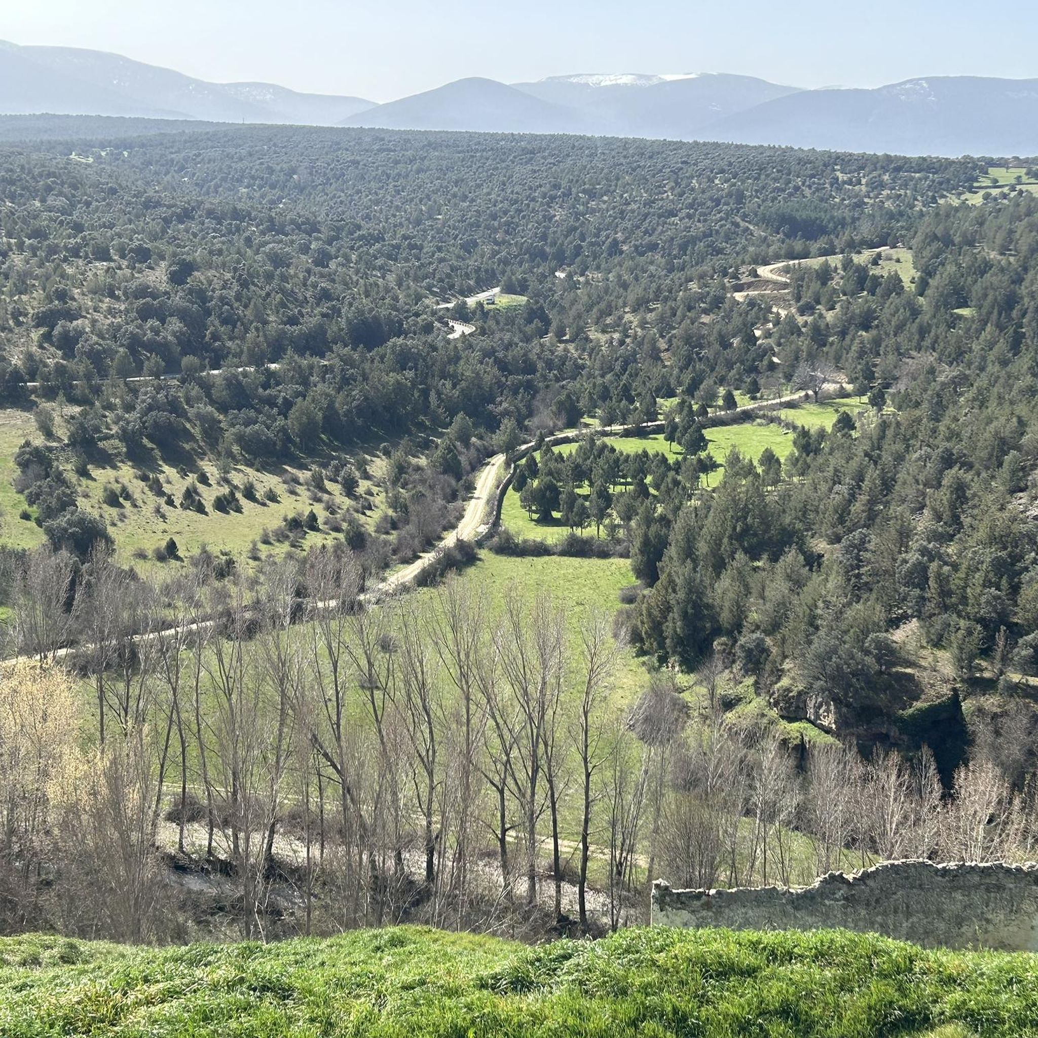
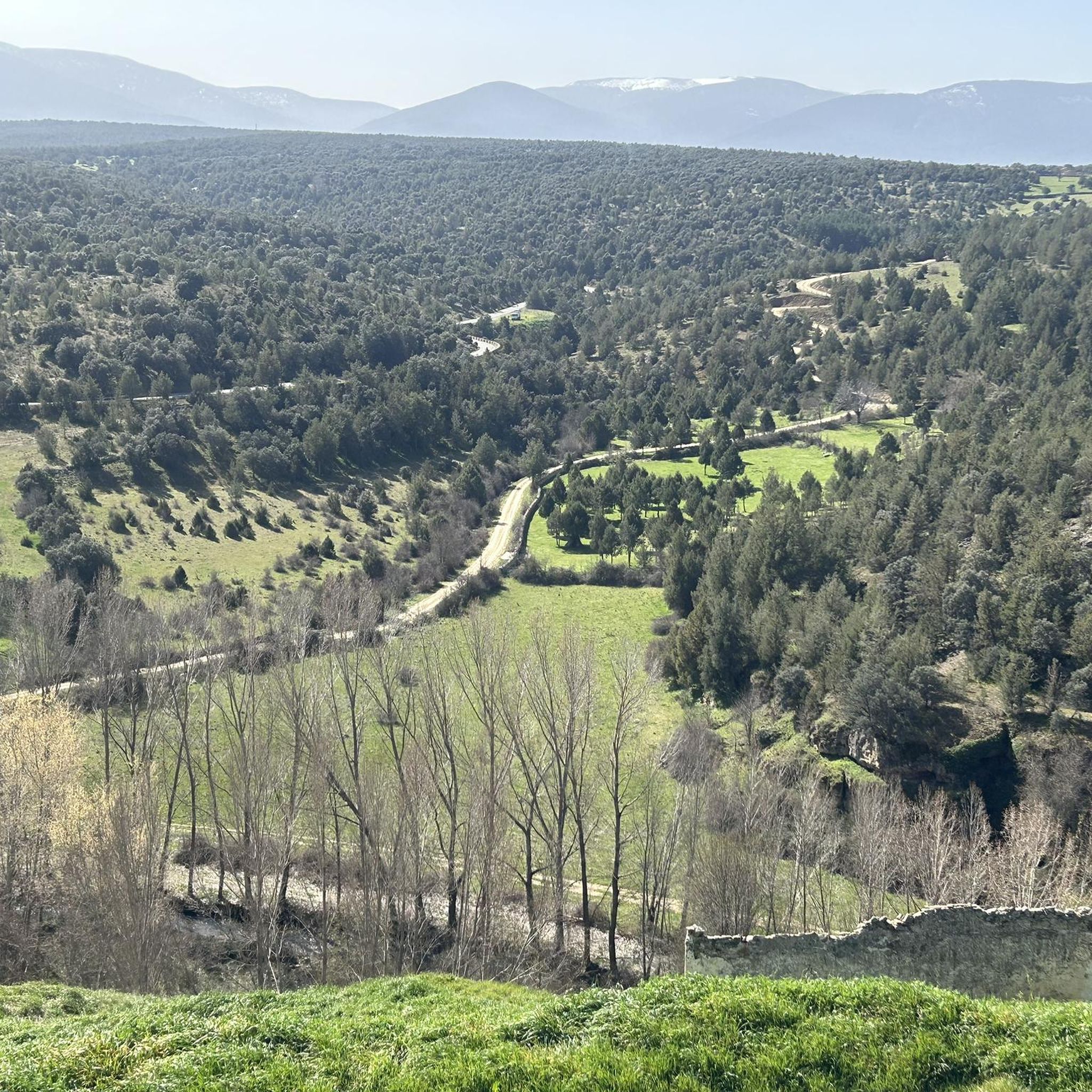
Road cycling routes around Arevalillo De Cega traverse a diverse landscape in the province of Segovia, Spain. The region features the Cega River basin, offering scenic routes along its banks, and the backdrop of the Sierra de Guadarrama mountain range, which provides challenging terrain. Cyclists can expect varied topography, from flatter paths through the Tierra de Pinares to mountainous ascents, all on quiet, well-paved roads. This area combines natural beauty with historical villages.
Best road cycling routes around Arevalillo De…
Last updated: May 16, 2026
14
riders
Easy road ride. Great for any fitness level. Mostly well-paved surfaces and easy to ride.
11
riders
72.5km
03:24
880m
880m
Moderate road ride. Good fitness required. Mostly well-paved surfaces and easy to ride.

Sign up for free
4
riders
Easy road ride. Great for any fitness level. Mostly well-paved surfaces and easy to ride.
1
riders
76.6km
03:21
740m
740m
Moderate road ride. Good fitness required. Mostly well-paved surfaces and easy to ride.
42
riders
120km
06:18
2,260m
2,260m
Hard road ride. Very good fitness required. Mostly well-paved surfaces and easy to ride.
Get access to more routes and recommendations from other explorers.
Sign up for free
Already have an account?
Our route recommendations are based on thousands of hikes, rides, and runs completed by other people on komoot.
Start today with a free account
Your next adventure awaits.
Login or Signup

Tips from the Community

Fountain that you will find in the Puerto de Canencia.
0
0


Port suitable for beginners who want to get in shape
0
0

Information about the “Acueducto de Segovia” and many more photos can be found in the corresponding hiking highlight at => https://www.komoot.com/de-de/highlight/4225055
3
0

Fantastic construction, it impressed me as much as the first time I saw it as a child.
3
0

To refill the bottle and replenish strength
0
0
The Port of Navafría is one of the entrances to the famous Horizontal runway that connects this port with the historic port of Somosierra. The Port of Navafría is located between the municipalities of Lozoya and Navafría. With its 1,773 meters above sea level, it is considered a first-class port in the “Cycling Tour of Spain”. This natural area is made up of a lush oak forest in the lower part and a beautiful pine forest in the upper part.
0
0
Frequently Asked Questions
How many road cycling routes are available around Arevalillo de Cega?
There are 39 road cycling routes around Arevalillo de Cega. These include 3 easy routes, 24 moderate routes, and 12 difficult routes, offering options for various skill levels.
What kind of terrain can I expect on road cycling routes near Arevalillo de Cega?
The region around Arevalillo de Cega offers a diverse topography. You'll find routes along the scenic Cega River basin, as well as more challenging ascents and descents in the foothills of the Sierra de Guadarrama. Many routes utilize quiet, well-paved minor roads, providing a mix of flat sections and significant elevation gains.
Are there any family-friendly road cycling routes in the area?
Yes, there are several easy road cycling routes suitable for families. For example, the Aguilafuente and Castillo de Turégano — circular through the Tierra de Pinares route is an easy 30.1-mile (48.5 km) trail with gentle hills, perfect for a leisurely ride through the pine forests.
What are some notable landmarks or points of interest I can see along the road cycling routes?
Road cycling routes in this area often pass through charming villages and offer views of historical sites. You might encounter the historic town of Pedraza, the impressive Turégano Castle, or the Church of Our Lady of the Vegas. Some routes also offer glimpses of natural features like the Cega River.
Are there any circular road cycling routes available?
Yes, many road cycling routes around Arevalillo de Cega are circular, allowing you to start and end in the same location. An example is the moderate Pedraza and by the Río Cega — circular by Cantalejo route, which covers 47.6 miles (76.6 km).
What is the best time of year for road cycling around Arevalillo de Cega?
The region is generally pleasant for road cycling from spring through autumn. Summers can be warm, but the varied terrain means you can find routes with shade or higher elevations. Winters can bring colder temperatures, especially in the Sierra de Guadarrama, where snow is possible.
Are there challenging road cycling routes for experienced cyclists?
Absolutely. For experienced cyclists seeking a challenge, routes like the difficult Navacerrada Pass – Plaza de España, Rascafría loop from Cantalejo offer substantial elevation gains and cover significant distances, such as 98.4 miles (158.4 km) with over 2,400 meters of ascent.
What do other road cyclists enjoy most about road cycling in Arevalillo de Cega?
The area is highly rated by the komoot community, with an average score of 4.5 stars. Cyclists often praise the serene river landscapes, the majestic backdrop of the Sierra de Guadarrama, and the quiet roads that wind through historical villages, offering a blend of natural beauty and cultural exploration.
Are there routes that feature natural water features like rivers or waterfalls?
Yes, the region is characterized by the Cega River basin, and some routes follow its banks, offering scenic views. You can also find specific natural highlights like the Mill and Waterfall, which can be incorporated into your cycling plans.
Are there options for moderate-difficulty road cycling routes?
Yes, the majority of routes (24 out of 39) are of moderate difficulty. A popular choice is the Río Pirón y Acueducto de Segovia — circular desde Turégano, a 45.1-mile (72.5 km) path featuring varied terrain, including climbs and descents, with views of the Pirón River and the historic Segovia Aqueduct.
Can I find routes that explore the pine forests of the Tierra de Pinares?
Yes, some routes specifically traverse the Tierra de Pinares. The Aguilafuente and Castillo de Turégano — circular through the Tierra de Pinares route is a great example, taking you through these distinctive pine forests.
Most popular attractions around Arevalillo De Cega

Get inspired with the komoot mobile app


Explore more
Browse the best Road cycling routes in other regions.
