The best running trails around Benarrabá
4.8
(4)
366
runners
40
runs
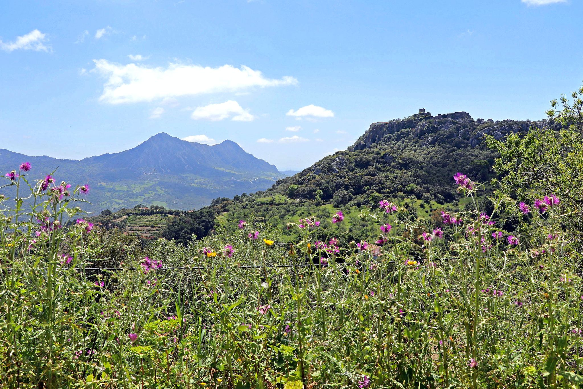
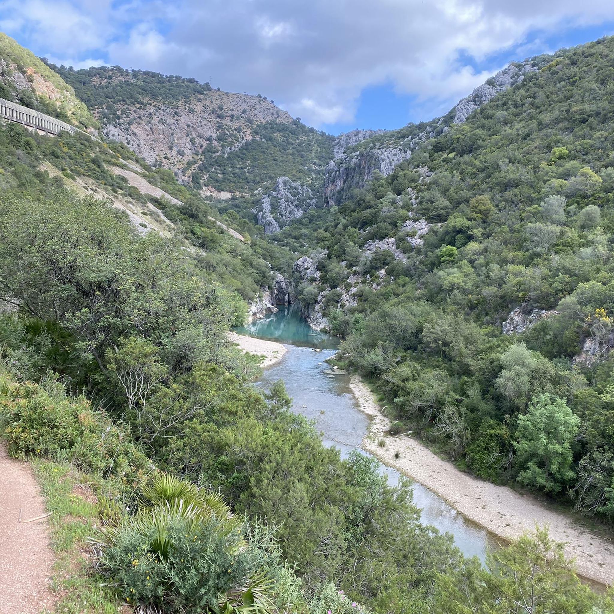
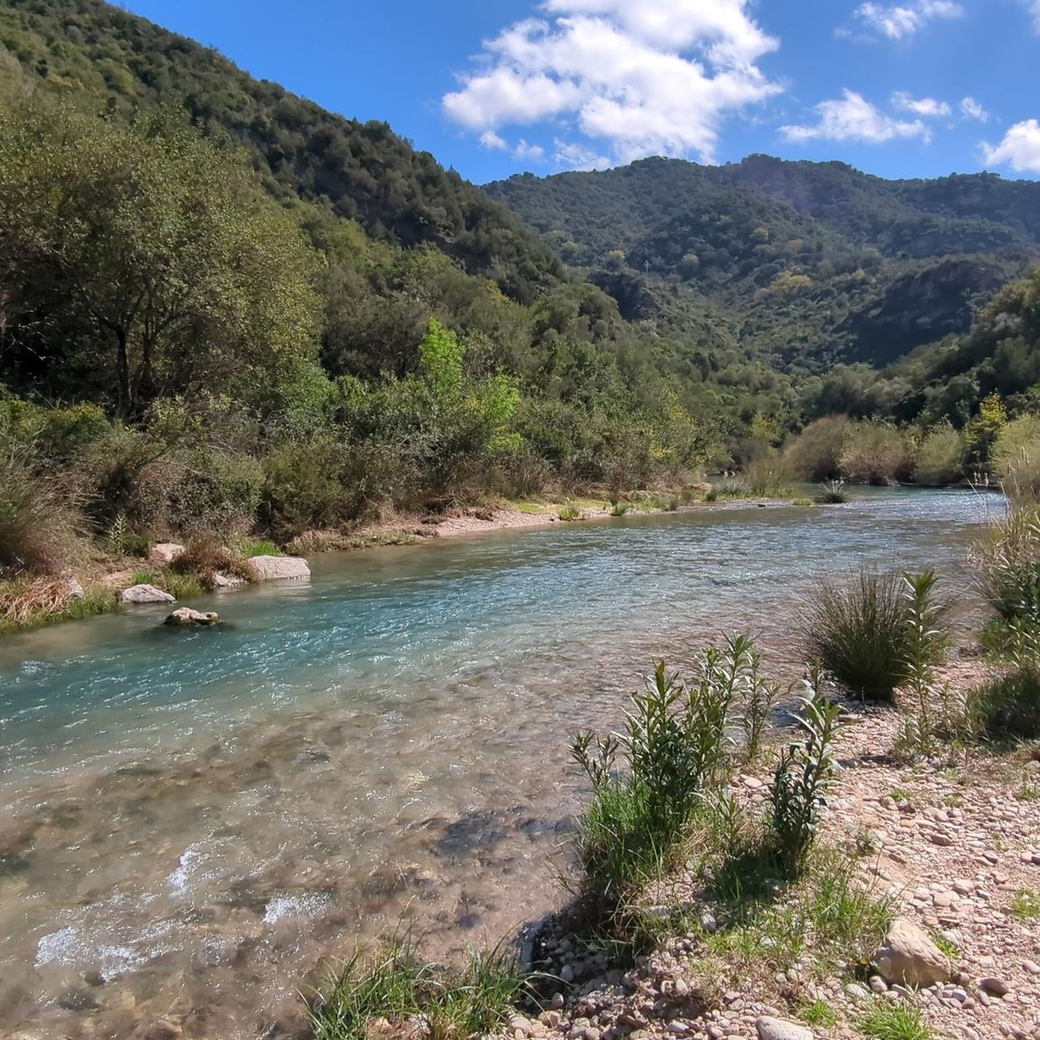
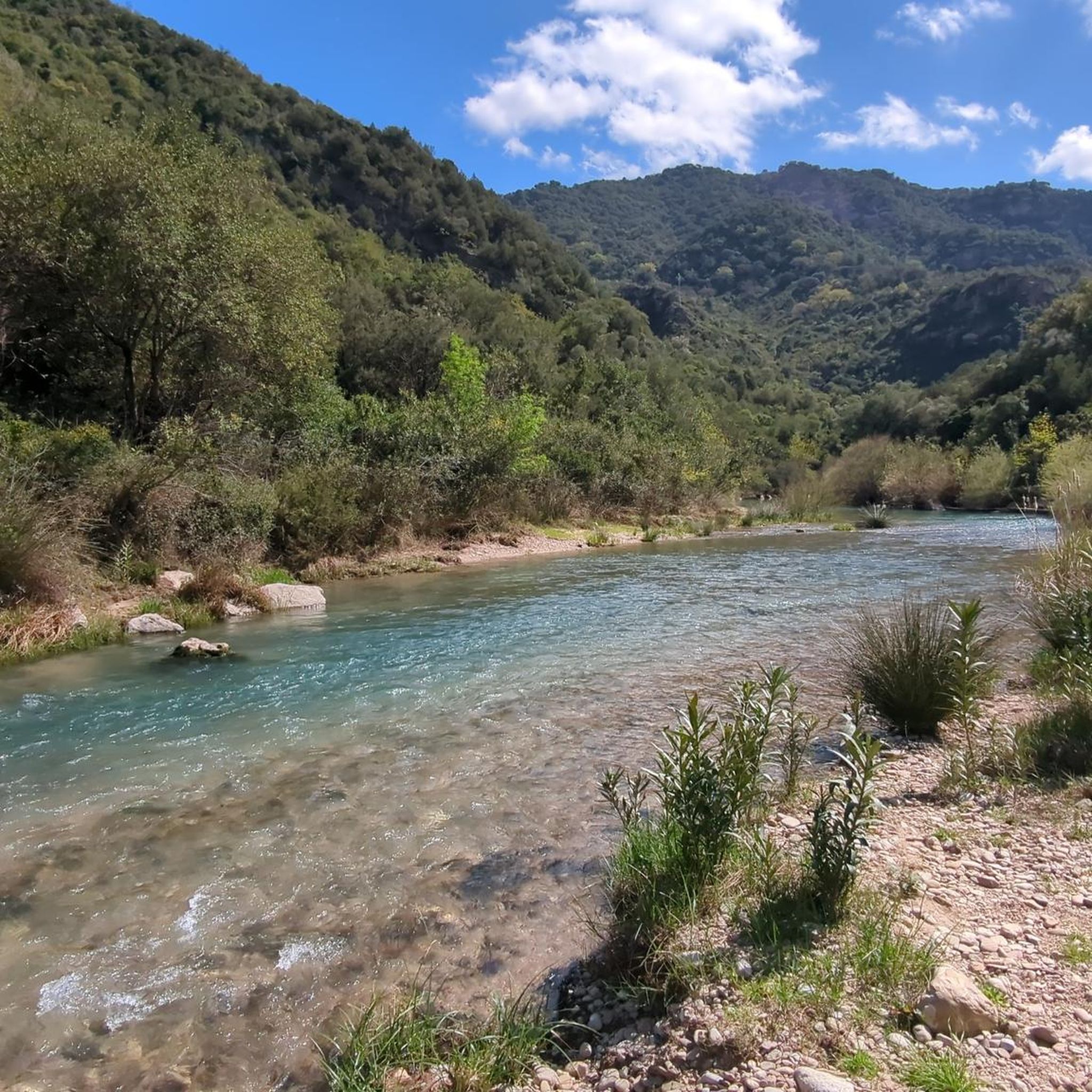
Jogging routes around Benarrabá traverse the scenic Genal Valley, characterized by the Genal River and its surrounding olive groves and diverse oak forests. The village itself is situated on the slopes of Mount Porón, offering routes with varied elevation. The broader landscape is framed by the Sierra Bermeja and Sierra Crestellina mountain ranges, providing a mix of challenging and picturesque running trails.
Best jogging routes around Benarrabá
- The most popular jogging route is El Colmenar loop from Gaucin, an…
Last updated: July 31, 2026
28
runners
28.2km
03:47
890m
890m
Hard run. Very good fitness required. Mostly paved surfaces. Suitable for all skill levels.
19
runners
15.2km
02:24
900m
900m
Hard run. Very good fitness required. Sure-footedness, sturdy shoes and alpine experience required.

Sign up for free
19
runners
44.7km
06:32
2,200m
2,200m
Hard run. Very good fitness required. Mostly paved surfaces. Suitable for all skill levels.
8
runners
25.5km
03:50
1,240m
1,240m
Hard run. Very good fitness required. Mostly paved surfaces. Suitable for all skill levels.
8
runners
16.9km
02:22
730m
730m
Hard run. Very good fitness required. Mostly paved surfaces. Suitable for all skill levels.
Get access to more routes and recommendations from other explorers.
Sign up for free
Already have an account?
Our route recommendations are based on thousands of hikes, rides, and runs completed by other people on komoot.
Start today with a free account
Your next adventure awaits.
Login or Signup
Other adventures around Benarrabá

Tips from the Community

Highlights include the ruins of the Castillo del Águila fortress, the 16th century parish church of San Sebastián, the Vera Cruz chapel, the Fuente de los seis Caños fountain and the Santo Niño chapel, all within a pleasant walk. Then a break at Casa Antonia - perfect.
2
0

The beautiful Church is not only one of the most visited sites in Genalguacil, but also meters away is the Los Poyetes viewpoint that offers wonderful views.
1
0

Gaucín is a beautiful white town in the province of Malaga located in the Genal valley, at the foot of the Sierra del Hacho. The town of about 1,500 inhabitants acquired special importance during the Roman and Arab times, although it was also affected by various wars between the 19th and 20th centuries. The most characteristic is the mound crowned by the castle of the Eagle. It is the first town between the Campo de Gibraltar and the Serranía de Ronda.
2
0
Right at this point there is a detour of about 500 meters to the Asalto del Cura viewpoint, from which you can see the Sierra Crestellina and Los Reales de Genalguacil. This place is famous because it was, during the 18th century, a hideout for numerous bandits and thieves. They came here as a remote and safe place to hide.
1
0
This viewpoint is located between the municipalities of Gaucín and Benarrabá. From here there is a beautiful panoramic view of the Águila castle, of Roman origin. The fort was built on a 688 meter high mountain, on whose walls there is currently a via ferrata.
2
1
Benarrabá is a beautiful white town with less than 500 inhabitants located in the heart of the Genal valley. As can be deduced from the name, this town is of Berber origin and its name means "Children of Rabbah". Formerly there was a castle-watchtower on the top of Mount Porón, in the vicinity of Benarrabá, so this place was a strategic point of observation and defense of the valley.
3
0
This small town, also known as Estación de Gaucín, is part of the municipality of Cortes de la Frontera and is located in the heart of the Alcornocales Natural Park. The place is famous, among other things, for the large colony of roe deer and deer that live in the surrounding area. It is worth visiting the mycological interpretation center, on the outskirts of the town.
2
1

This viewpoint is located right at the entrance to the town of Genaguacil. From here we have a spectacular view of the town and port of Lentisco (from which the name of the viewpoint comes).
0
0
Frequently Asked Questions
How many running routes are available around Benarrabá?
There are over 25 running routes available around Benarrabá, offering a wide variety of options for exploring the scenic Genal Valley and surrounding mountains. Most of these routes are considered difficult, providing a good challenge for experienced runners.
What kind of terrain can I expect on the running trails in Benarrabá?
The running trails in Benarrabá offer diverse terrain. You can expect routes through the lush Genal Valley, often alongside the Genal River, which provides gentler paths. Other routes ascend the slopes of Mount Porón and traverse the foothills of Sierra Bermeja and Sierra Crestellina, featuring significant elevation changes and more challenging mountainous sections.
Are there running routes suitable for beginners in Benarrabá?
While many of the routes around Benarrabá are rated as difficult, there is one moderate route available. For beginners, it's advisable to carefully check the elevation profiles and distances of routes to find one that matches your fitness level. The Genal Valley offers some of the gentler terrains.
What natural features and landmarks can I see while running in the Benarrabá area?
Runners in Benarrabá can enjoy a wealth of natural beauty and historical landmarks. You'll encounter the serene Genal Valley, the flowing Genal River, and panoramic views from Mount Porón. The dramatic Buitreras Canyon is also nearby. For specific points of interest, consider routes that pass by highlights such as Puente de los Alemanes or offer stunning vistas from viewpoints like Nicola Alta Viewpoint.
Are there any circular running routes around Benarrabá?
Yes, Benarrabá offers several excellent circular running routes. One popular option is the challenging Cerro de la Coronuela – Benarrabá loop from Benarrabá, which covers 9.9 miles (15.9 km) with significant elevation changes. Another is the Benarrabá loop from Benarrabá, a 12.2 km route.
What do other runners enjoy most about jogging in Benarrabá?
The running trails around Benarrabá are highly rated by the komoot community, with an average score of 4.9 stars. Reviewers often praise the stunning natural beauty of the Genal Valley, the challenging yet rewarding mountainous terrain, and the tranquil environment that allows for an immersive outdoor experience. Many appreciate the 'nice views in all directions' from elevated points.
Can I bring my dog on the running trails in Benarrabá?
The Benarrabá region is generally dog-friendly, with many trails suitable for running with your canine companion. However, it's always recommended to keep your dog on a leash, especially in areas with wildlife or near livestock. Be sure to check specific trail regulations or signage for any restrictions before you go.
What is the best time of year to go running in Benarrabá?
The best time to go running in Benarrabá is typically during the spring (March to May) and autumn (September to November) months. During these periods, the weather is milder and more pleasant for outdoor activities. Summers can be very hot, making early morning or late evening runs preferable, while winters are generally mild but can have occasional rain.
Are there any long-distance running routes near Benarrabá?
Yes, for those seeking longer distances, Benarrabá offers several extensive running routes. The El Colmenar loop from Gaucin is a challenging 18.0 miles (29.0 km) trail, and the Gaucín – Capitán Firebreaks loop from Cruce Benarrabá (A-369) spans 17.1 miles (27.6 km), leading through mountain firebreaks.
Are there any viewpoints or summits accessible via running routes?
Absolutely. Many running routes in the Benarrabá area offer incredible viewpoints and access to summits. From higher elevations, you can often enjoy 'gigantic views' that, on clear days, can extend as far as Morocco. Notable highlights include Pico de los Reales — Summit View and Salvador Guerrero Viewpoint, which provide breathtaking panoramas of the surrounding Sierra Bermeja and Genal Valley.
What kind of natural vegetation will I see along the running trails?
As you run through the Genal Valley and its surroundings, you'll be immersed in rich vegetation. Expect to see extensive olive groves and diverse forests dominated by holm oak, Portuguese oak, and cork oak trees. This lush environment provides a beautiful and refreshing backdrop for your run.
Most popular attractions around Benarrabá

Get inspired with the komoot mobile app


Explore more
Browse the best Running Trails & Routes in other regions.
