The best walks and hikes around Benalauría
4.5
(293)
1,450
hikers
94
hikes
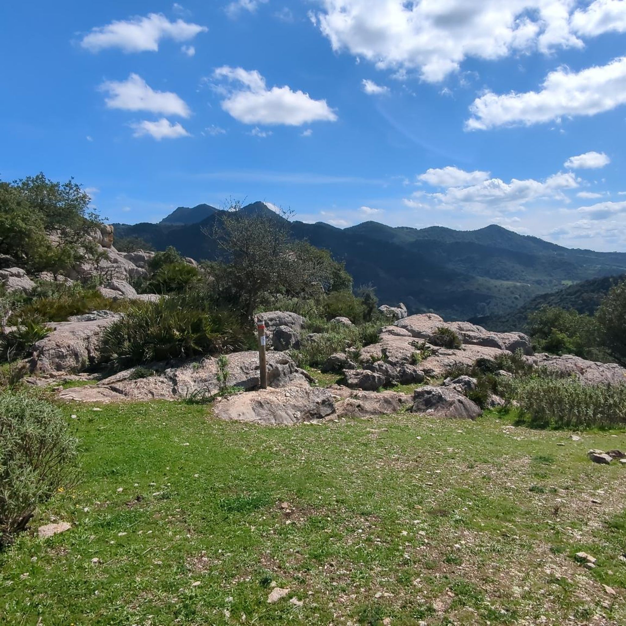
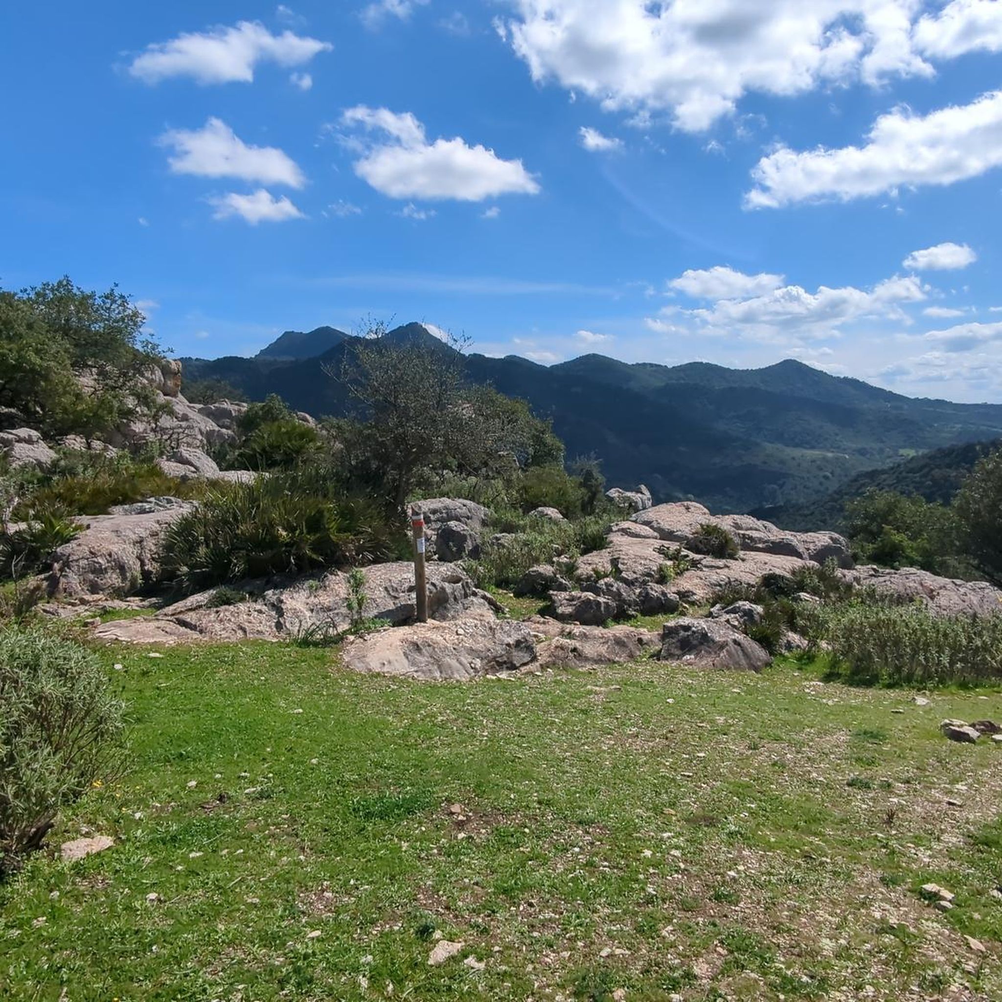
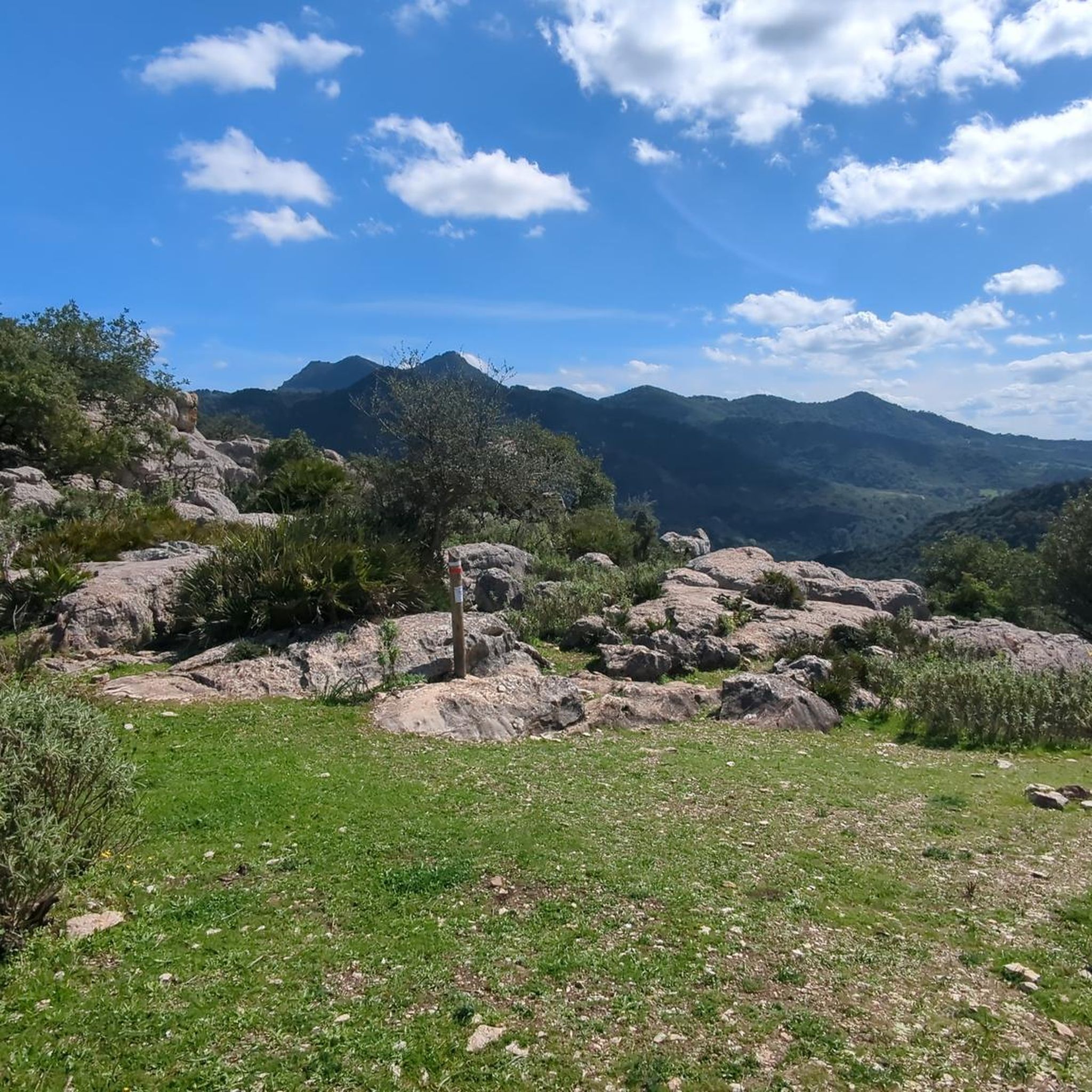
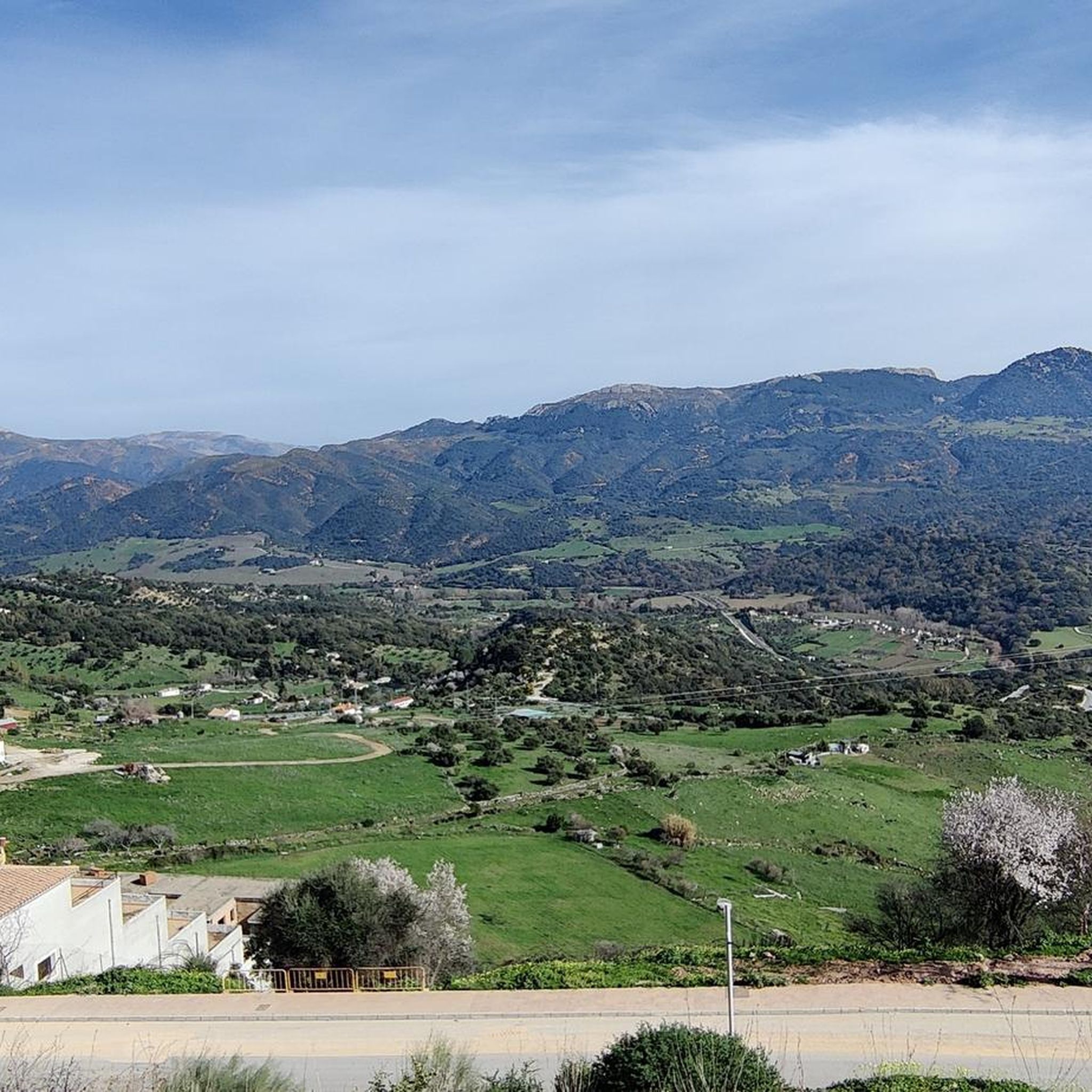
Hiking around Benalauría offers access to the varied landscapes of the Genal Valley in Andalusia. The region is characterized by mountainous terrain, river valleys, and areas of dense vegetation, providing diverse environments for outdoor activities. Trails often traverse through cork oak forests, olive groves, and past traditional white villages. The elevation changes across the area present options ranging from gentle riverside paths to more challenging ascents.
Best hiking trails around Benalauría
- The most popular hiking route is Sierra de Los Pinos – circular from Cortes de la Frontera - Parque Natural de la Sierra de Grazalema, a 9.0 miles (14.5 km) trail that takes 5 hours 32 minutes to complete. This difficult route features significant elevation gain through mountainous terrain.
- Another top favourite among local hikers is El Colmenar – Río Hozgarganta Swimming Spot loop from Gaucin, a moderate 7.8 miles (12.5 km) path. This trail offers river views and access to natural swimming spots.
- Local hikers also love the A tunnel of greenery – Benadalid loop from Benalauría, a 5.6 miles (9.0 km) trail leading through shaded paths and local villages, often completed in about 2 hours 45 minutes.
- Hiking around Benalauría is defined by mountainous landscapes, river valleys, and dense woodlands. The network of routes offers options for various ability levels, from easy family friendly walks to advanced trails.
- The routes in Benalauría are highly rated by the komoot community with an average score of 4.6 stars from over 280 reviews. More than 1400 hikers have used komoot to explore Benalauría's varied terrain.
Last updated: August 1, 2026
5.0
(4)
20
hikers
Hard hike. Very good fitness required. Sure-footedness, sturdy shoes and alpine experience required.
4.5
(16)
98
hikers
13.1km
04:08
470m
470m
Moderate hike. Good fitness required. Easily-accessible paths. Suitable for all skill levels.

Sign up for free
4.6
(10)
113
hikers
7.41km
02:02
120m
120m
Moderate hike. Good fitness required. Easily-accessible paths. Suitable for all skill levels.
4.8
(18)
77
hikers
8.96km
02:45
310m
320m
Moderate hike. Good fitness required. Easily-accessible paths. Suitable for all skill levels.
4.8
(5)
24
hikers
11.5km
03:46
500m
500m
Moderate hike. Good fitness required. Easily-accessible paths. Suitable for all skill levels.
Get access to more routes and recommendations from other explorers.
Sign up for free
Already have an account?
Our route recommendations are based on thousands of hikes, rides, and runs completed by other people on komoot.
Start today with a free account
Your next adventure awaits.
Login or Signup
Tips from the Community


From here you can enjoy the impressive views of the Genal Valley, one of the White Villages and the chestnut forests. It is particularly worth a visit in autumn.
1
0

There are many cork oaks to admire in this area. This particular one stands almost alone to show off.
0
0
On this section of the walk, you have great views for the surrounding area and the village of Benadalid
0
0

Another great viewpoint into the gorge.
0
0
A gigantically beautiful viewpoint over the river and the “beach”. Like paradise………
0
0
Beautiful access to the river and a large "pebble beach" for lying down. From here you can swim into the gorge. Fantastically clear water with lots of fish. Access via the hiking trail is very easy and can be done by almost anyone. Certainly the highlight of this hiking trail.
0
0
Frequently Asked Questions
How many hiking trails are available around Benalauría?
There are over 80 hiking trails around Benalauría, offering a wide range of options for different skill levels and preferences.
Are there easy hiking routes suitable for beginners or families?
Yes, Benalauría offers 18 easy routes perfect for beginners or families. These trails typically feature less elevation gain and shorter distances. A good option is the Ancient Hollow Olive Tree – Along the Genal River loop from San Juan, which is a moderate 4.6-mile (7.4 km) path with minimal elevation changes.
Are there any circular walks in Benalauría?
Yes, many of the trails around Benalauría are circular, allowing you to start and end at the same point. For example, the A tunnel of greenery – Benadalid loop from Benalauría is a popular 5.6-mile (9.0 km) circular route through shaded paths and local villages.
Can I find trails with swimming spots near Benalauría?
Yes, the region features trails that lead to natural swimming spots. The El Colmenar – Río Hozgarganta Swimming Spot loop from Gaucin is a moderate 7.8-mile (12.5 km) trail that offers river views and access to refreshing natural swimming areas.
What kind of landscapes can I expect to see on hikes around Benalauría?
Hiking around Benalauría offers diverse landscapes, including mountainous terrain, river valleys, and dense vegetation. You'll often traverse through cork oak forests, olive groves, and pass by traditional white villages, characteristic of the Genal Valley.
What do other hikers enjoy most about the trails in Benalauría?
The trails in Benalauría are highly rated by the komoot community, with an average score of 4.6 stars from over 280 reviews. Hikers often praise the varied terrain, the stunning views of the Genal Valley, and the opportunity to explore charming local villages.
Are there any advanced or difficult trails for experienced hikers?
Yes, for experienced hikers seeking a challenge, there are 8 difficult routes available. One such demanding trail is the Sierra de Los Pinos – circular from Cortes de la Frontera - Parque Natural de la Sierra de Grazalema, a 9.0-mile (14.5 km) route with significant elevation gain through mountainous terrain.
What are some interesting places to explore near Benalauría?
Beyond the trails, you can explore several charming settlements and historical sites. Notable attractions include the picturesque village of Gaucín, the unique Júzcar, the Blue Village, and the historic Eagle Castle.
Is parking available for hiking trails in Benalauría?
Parking is generally available in or near the villages that serve as trailheads, such as Benalauría itself or nearby towns like Gaucin and Cortes de la Frontera. It's advisable to check specific route details for recommended parking spots.
What is the best time of year to hike around Benalauría?
The best time to hike around Benalauría is typically during spring (March to May) and autumn (September to November). During these seasons, the weather is mild and pleasant, and the natural scenery is at its most vibrant. Summers can be very hot, and winters can be cooler and wetter.
Are there any cafes or places to eat near the walking routes?
Yes, many of the hiking routes pass through or near traditional white villages like Benalauría, Benadalid, and Gaucín. These villages often have local cafes and restaurants where you can enjoy refreshments and traditional Andalusian cuisine.
Are dogs allowed on the hiking trails in Benalauría?
Generally, dogs are welcome on most hiking trails in the Benalauría region, especially in rural and natural areas. However, it's always recommended to keep them on a leash, especially when passing through villages or near livestock, and to clean up after them. Specific rules might apply in certain protected natural parks.
Most popular attractions around Benalauría

Get inspired with the komoot mobile app


Explore more
Browse the best Hikes in other regions.
