The best mountain hikes around Biosphere Salzburger Lungau and Kärntner Nockberge
4.9
(53)
700
hikers
46
hikes
Mountaineering routes around Biosphere Salzburger Lungau and Kärntner Nockberge traverse a diverse inner-alpine landscape, with altitudes ranging from 600 to 3,000 meters above sea level. The region features a contrast between the gently rounded, grass-covered peaks of the Kärntner Nockberge and the rugged summits of the Niedere Tauern range. Ecosystems vary from marsh areas and alluvial forests in the valleys to cultivated meadows, woodlands, and high alpine regions. Crystal-clear mountain lakes and extensive bogs are also prominent natural features.
Best…
Last updated: July 8, 2026
76
hikers
11.0km
06:12
1,150m
1,150m
Hard mountaineering route. Very good fitness required. Sure-footedness, sturdy shoes and alpine experience required.
5.0
(6)
34
hikers
13.8km
07:54
1,360m
1,360m
Hard mountaineering route. Very good fitness required. Sure-footedness, sturdy shoes and alpine experience required.

Sign up for free
4.0
(3)
27
hikers
10.8km
04:51
780m
780m
Moderate mountaineering route. Good fitness required. Mostly accessible paths. Sure-footedness required.
5.0
(4)
30
hikers
Moderate mountaineering route. Good fitness required. Mostly accessible paths. Sure-footedness required.
5.0
(2)
25
hikers
Moderate mountaineering route. Good fitness required. Mostly accessible paths. Sure-footedness required.
Get access to more routes and recommendations from other explorers.
Sign up for free
Already have an account?
Our route recommendations are based on thousands of hikes, rides, and runs completed by other people on komoot.
Start today with a free account
Your next adventure awaits.
Login or Signup
Popular around Biosphere Salzburger Lungau and Kärntner Nockberge

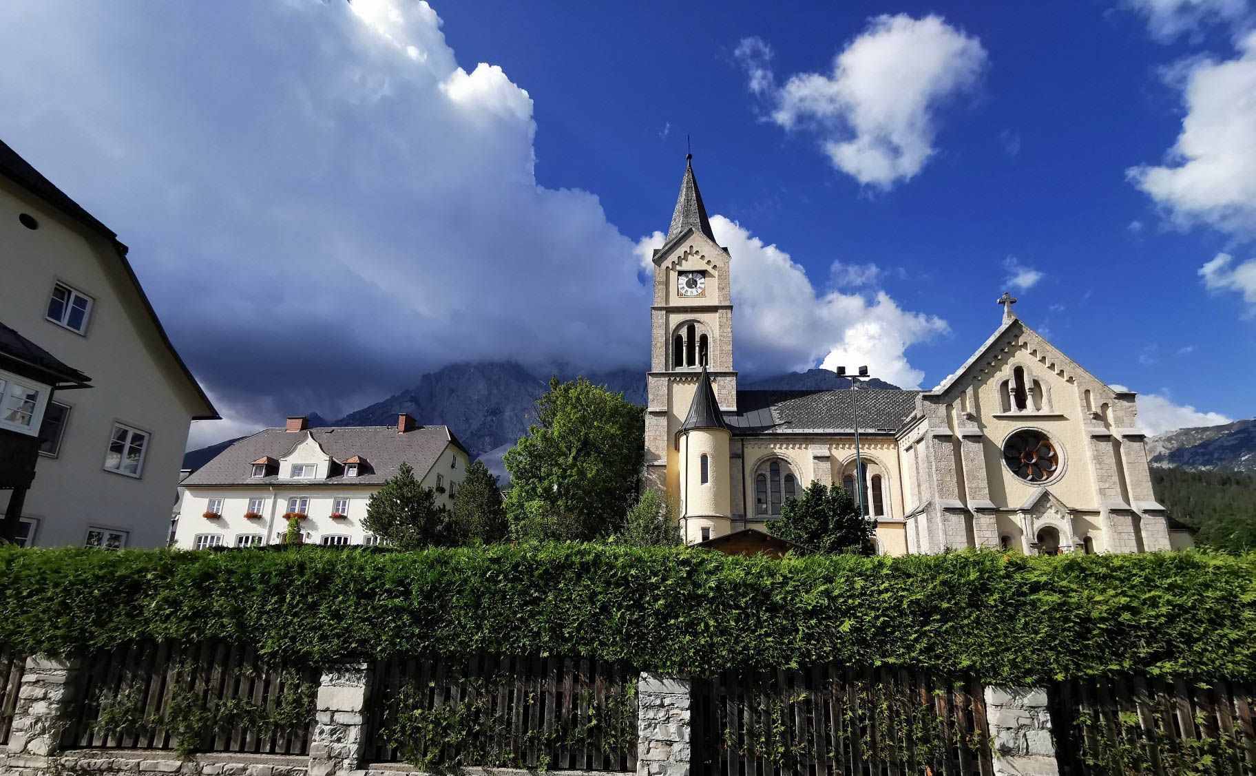
Central Alps Trail Eastern Section – Discover Austria
Way of the Book – Hike in the footsteps of the Bible smugglers in Austria
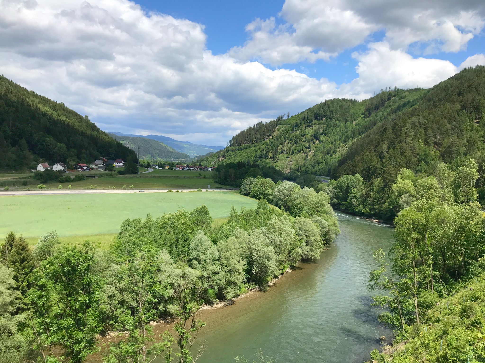
The Murradweg – Cycling through the green heart of Austria
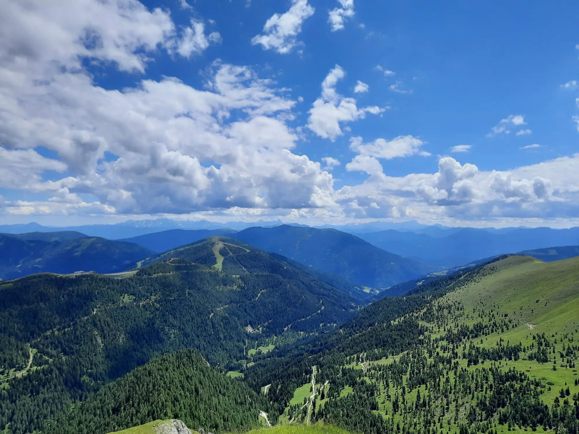
Hiking the Lake Millstatt Trail in Austria – One lake, 10 mountains, 12 days

Alpe-Adria-Trail: My long-distance hike from the glacier to the sea
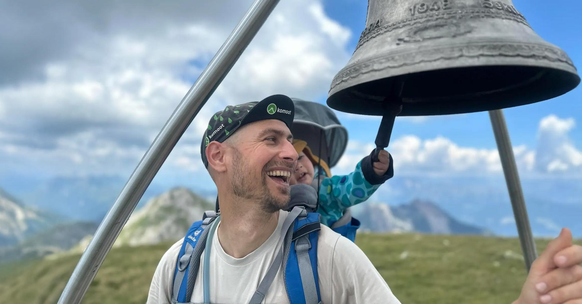
Summit hikes for families – discovery routes with a view in Carinthia
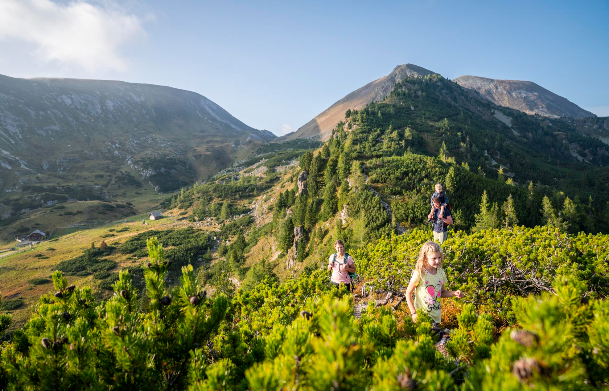
Joyous adventures experienced together – family hiking in Carinthia

Magnificent mountain biking on Austria's alpine pastures
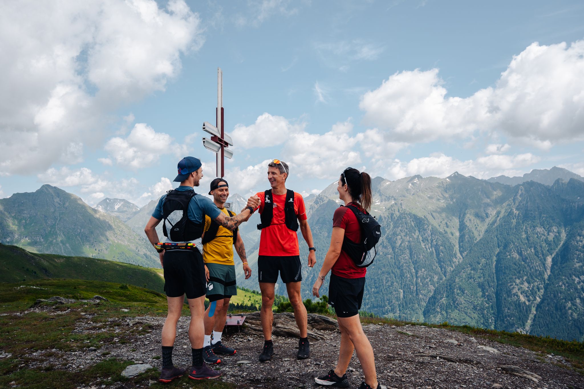
Lungauer Tauern Crown - Hike & Trail through the Salzburg Lungau
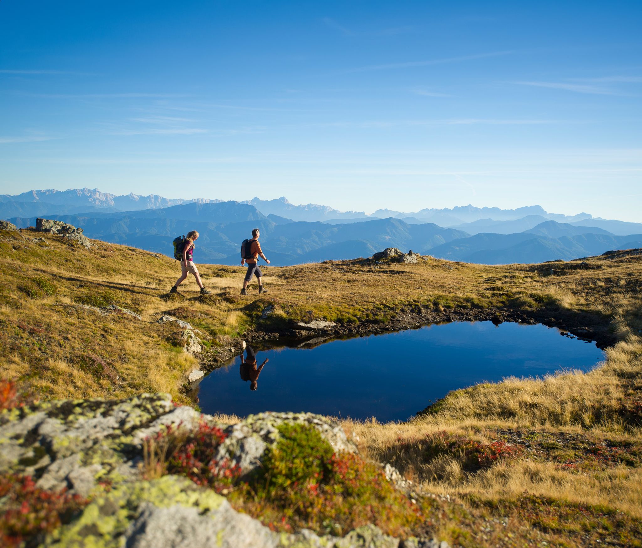
Hiking Without a Footprint on the Alpe-Adria-Trail
Other adventures around Biosphere Salzburger Lungau and Kärntner Nockberge


Tips from the Community

It's possible to cycle to the hut (with or without electricity). There's really no point in going from the hut to the lake, as it's only a few minutes' walk. You'd have to push your bike to get to the upper lake, which is even less of a benefit.
1
0

Here you can easily get the little ones excited about hiking
0
0

Cycling hasn't been allowed there for a long time and with an electric bike????
0
0

The family-friendly hike to the Arkerkopf begins at the Erlacherhaus. Along the way, there are six stops for the little ones, providing variety and entertainment.
1
0

It was a great shelter during the snowstorm! We were able to enjoy our break.
0
0
Great scenery in front of a snow-covered mountain range… however, entering the ice surface is strongly discouraged
5
0

A beautiful spot for sure-footed hikers.
0
0
Frequently Asked Questions
How many mountaineering routes are available in the Biosphere Salzburger Lungau and Kärntner Nockberge?
There are nearly 50 dedicated mountaineering routes in the Biosphere Salzburger Lungau and Kärntner Nockberge, offering a wide range of experiences from moderate ascents to challenging summit routes. The komoot community has explored these routes over 880 times.
What kind of terrain can I expect on mountaineering routes in this region?
The region offers a diverse inner-alpine landscape. You'll find a striking contrast between the gently rounded, grass-covered peaks of the Kärntner Nockberge and the more rugged summits of the Niedere Tauern range. Routes can traverse marsh areas, alluvial forests, cultivated meadows, woodlands, and high alpine regions, often featuring crystal-clear mountain lakes and extensive bogs.
Are there any challenging mountaineering routes for experienced hikers?
Yes, the region offers several challenging routes. For instance, the Hochgolling Summit – Gollingscharte loop from Vordere Göriachalmen is a demanding 8.6-mile (13.8 km) trail leading through high alpine terrain, typically taking nearly 8 hours to complete. Another challenging option is the Preber Summit – Preber Halter Hut loop from Prebersattel, known for its extensive vistas from the Preber Summit.
What are some notable natural features or landmarks to look out for?
The Biosphere Reserve is rich in natural beauty. You can explore the unique gently rounded peaks of the Nockberge, extensive bogs like the 'Überling mires,' and picturesque mountain lakes such as Prebersee. Notable summits include the Falkertspitz Summit, known for its beauty, and the Preber summit cross, offering an incredible panorama on clear days.
Are there any moderate mountaineering routes suitable for those looking for a less strenuous climb?
Absolutely. About half of the routes in the region are classified as moderate. A great option is the Great Rosennock loop from Erlacherhaus, a 6.7-mile (10.8 km) route with significant elevation gain but manageable for those with good fitness. Another moderate choice is the Lower Landawirsee – Old Mountain Shelter loop from Göriach Parkplatz Hüttendorf, which offers beautiful scenery without extreme difficulty.
What is the best time of year for mountaineering in this Biosphere Reserve?
The prime season for mountaineering in the Biosphere Salzburger Lungau and Kärntner Nockberge is generally from late spring through early autumn (May to October). During these months, trails are typically free of snow, and weather conditions are more stable, offering the best opportunities to enjoy the high alpine regions and panoramic views. Always check local weather forecasts before heading out.
Are there any circular mountaineering routes available?
Yes, many routes in the region are designed as loops, allowing you to start and end at the same point. For example, the popular Preber Halter Hut – Preber Summit loop from Prebersattel is a 6.7-mile (10.9 km) circular trail that provides stunning panoramic views from the Preber Summit.
What do other mountaineers say about the routes in this region?
The mountaineering routes in the Biosphere Salzburger Lungau and Kärntner Nockberge are highly rated by the komoot community, with an average score of 4.8 stars from over 50 reviews. Reviewers often praise the diverse landscapes, from the unique rounded peaks of the Nockberge to the rugged Tauern summits, and the well-maintained trails that lead to breathtaking viewpoints.
Are there mountain huts or places to rest along the trails?
Yes, the region is dotted with mountain huts that provide opportunities for rest and refreshment. You might encounter huts like the Franz-Fischer Hut or the St. Oswalder Bock Hut, which are popular stops for mountaineers. These huts are essential for longer tours and offer a chance to experience traditional alpine hospitality.
Can I find routes that offer views of mountain lakes?
Absolutely. Crystal-clear mountain lakes are a prominent feature of the Biosphere Reserve. The region includes idyllic spots like the Prebersee lake, nestled in a moorland landscape, and the picturesque Schlierersee lake within the Riedingtal Nature Park. Many mountaineering routes will offer stunning views of these serene alpine waters.
Are there options for multi-day mountaineering experiences?
While this guide focuses on individual routes, the region is known for longer treks. The Nockberge Trail, for instance, allows for multi-day hut-to-hut hiking experiences, providing an immersive way to explore the diverse landscapes of the Kärntner Nockberge.
What kind of wildlife might I encounter?
The Biosphere Reserve is a biodiversity hotspot and a refuge for numerous animal species. While mountaineering, you might spot various birds like eagle owls or capercaillie, and if you're lucky, even larger mammals such as badgers or lynx. The region's diverse ecosystems, from forests to alpine meadows, support a rich array of flora and fauna.
Most popular routes around Biosphere Salzburger Lungau and Kärntner Nockberge
Most popular attractions around Biosphere Salzburger Lungau and Kärntner Nockberge

Get inspired with the komoot mobile app


Explore more
Browse the best Mountain Hikes & Routes in other regions.
