The best walks and hikes around Santaliestra Y San Quílez
4.5
(60)
317
hikers
18
hikes
Hiking around Santaliestra Y San Quílez offers access to varied terrain in the foothills of the Pyrenees. The landscape is characterized by river valleys, forested slopes, and hills that provide panoramic views. This region features a mix of easy paths and moderate ascents, suitable for exploring the natural environment.
Best hiking trails around Santaliestra Y San Quílez
- The most popular hiking route is Mont de Perrarúa Ascent Trail, a 2.6 miles (4.2 km) trail that takes 1 hour 27…
Last updated: May 23, 2026
3.5
(4)
20
hikers
4.20km
01:27
230m
230m
Hike the easy 2.6-mile Mont de Perrarúa Ascent Trail, gaining 749 feet to enjoy views of the Pyrenees in Huesca, Spain.
4.5
(2)
20
hikers
5.72km
01:43
170m
170m
Easy hike. Great for any fitness level. Easily-accessible paths. Suitable for all skill levels.

Sign up for free
4.3
(3)
12
hikers
16.4km
04:57
490m
490m
Moderate hike. Good fitness required. Easily-accessible paths. Suitable for all skill levels.
5.0
(1)
8
hikers
9.75km
03:23
520m
530m
Moderate hike. Good fitness required. Easily-accessible paths. Suitable for all skill levels.
5.0
(1)
7
hikers
6.51km
01:49
120m
120m
Easy hike. Great for any fitness level. Easily-accessible paths. Suitable for all skill levels.
Get access to more routes and recommendations from other explorers.
Sign up for free
Already have an account?
Our route recommendations are based on thousands of hikes, rides, and runs completed by other people on komoot.
Start today with a free account
Your next adventure awaits.
Login or Signup
Tips from the Community

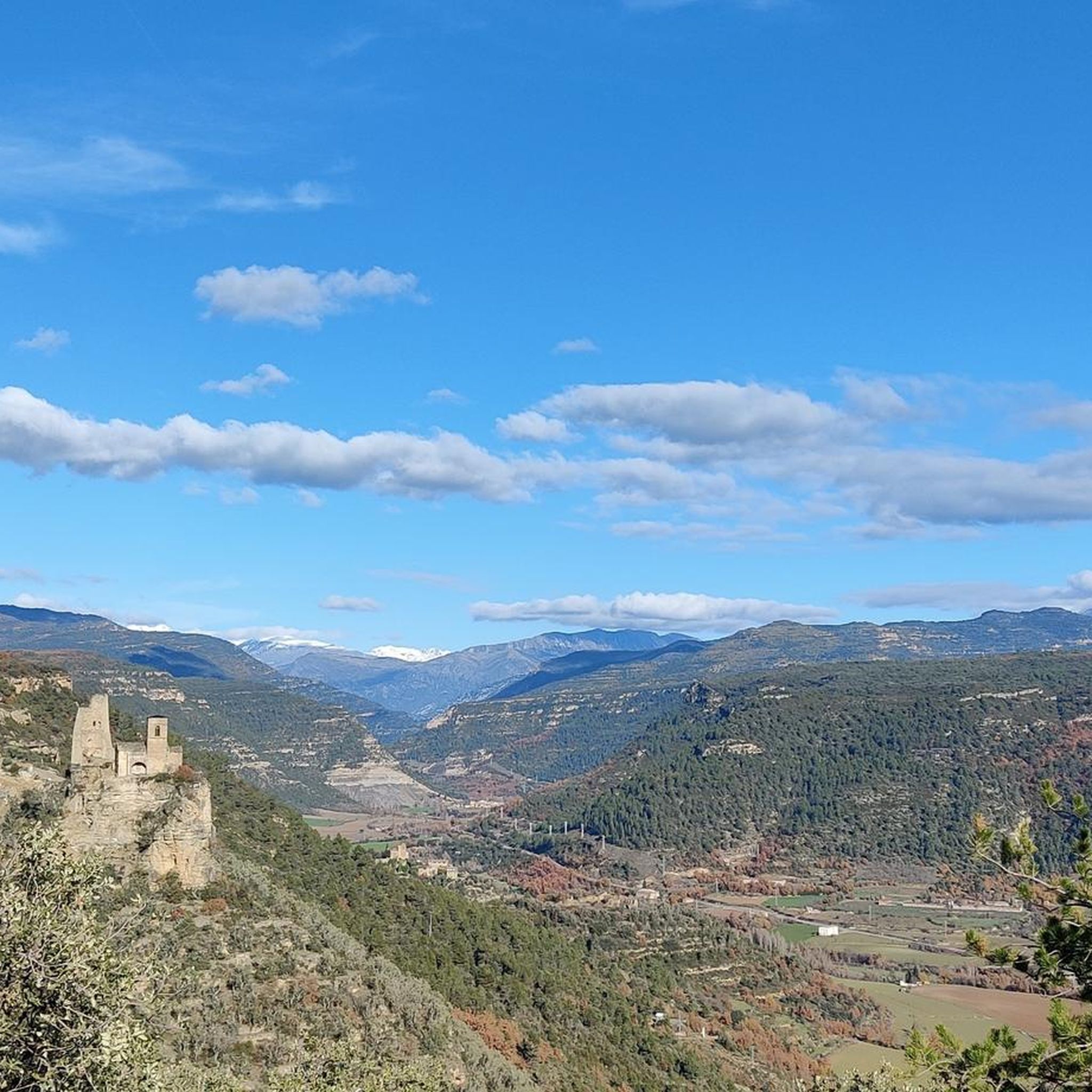
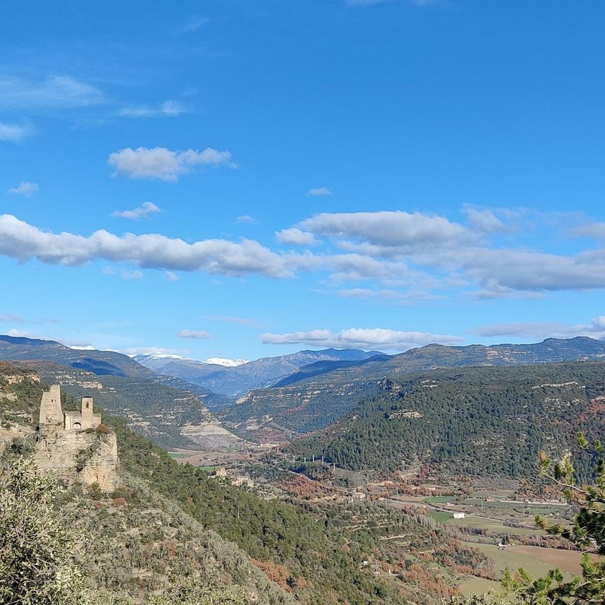
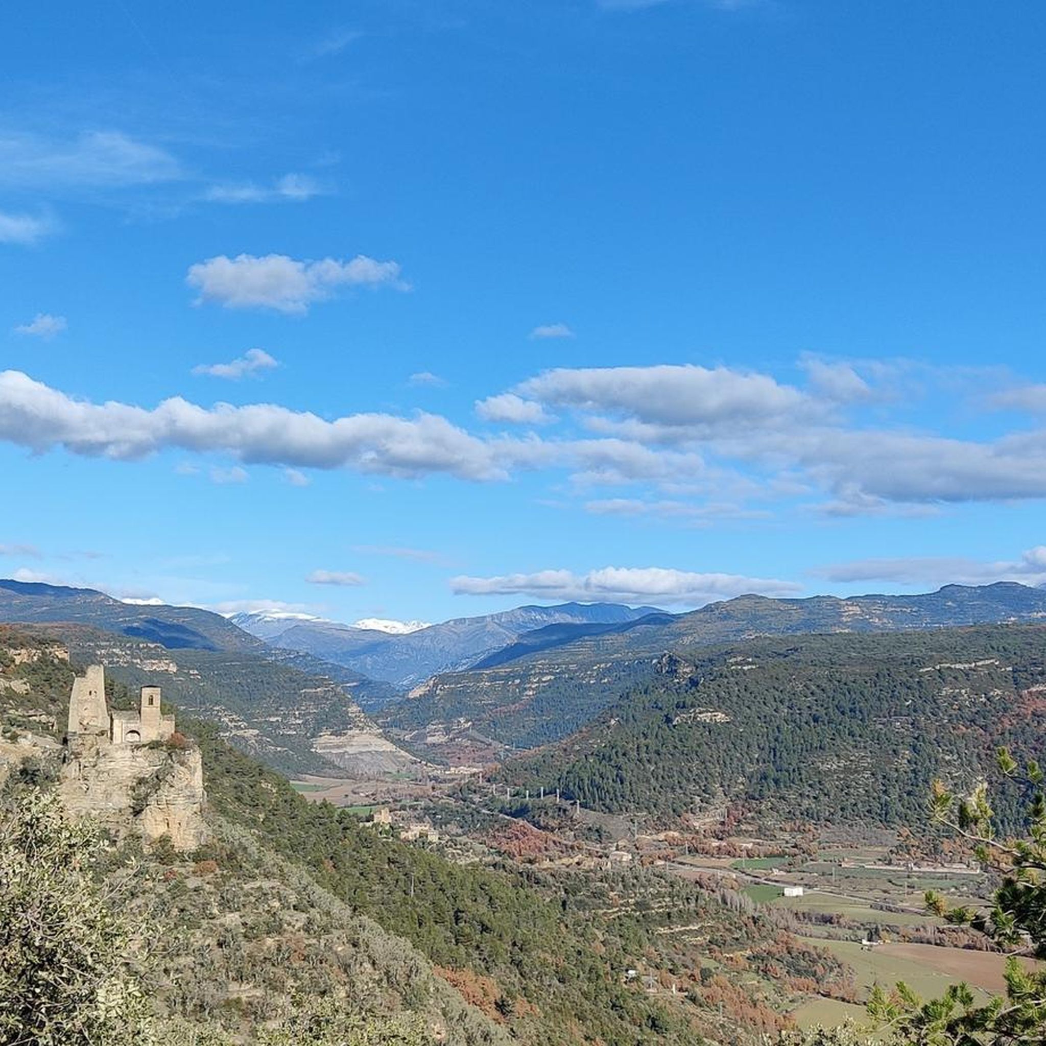
An iconic location. Privileged views of the Pyrenees, Sobrabe and La Fueva Valley
0
0

Around 500 meters of small pools where you can bathe and cool off in the shade in summer, a very nice place.
0
0
Small citadel with good views where several routes lead to different landmarks in the area, very well signposted and affordable.
0
0

View these before departure or during the walk 😀
0
0


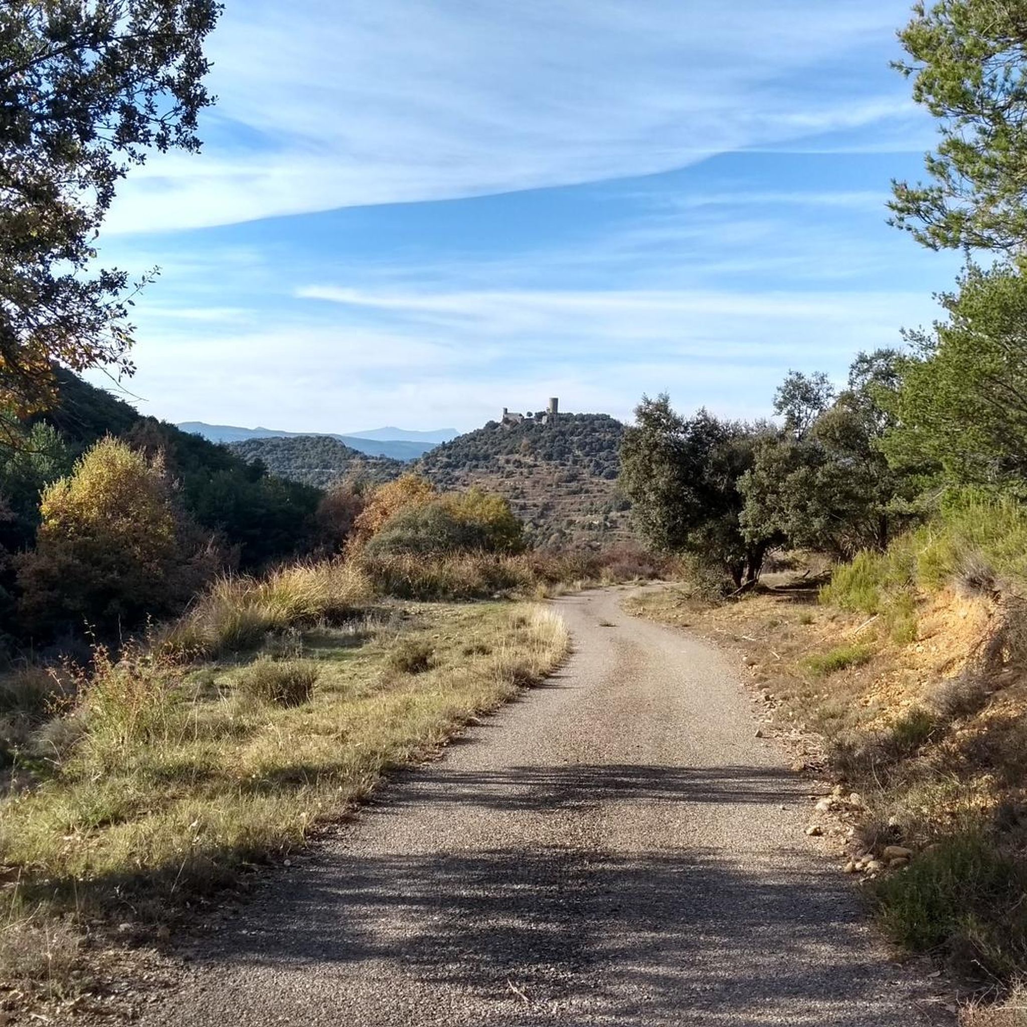
The uninhabited area of El Mon de Perrarúa draws attention for its semi-ruined castle that can be clearly seen from the road between Graus and Benasque.
1
0

Abandoned village, new houses are now being built
0
0
Half an hour of climbing from the Chill-Outdoor café
1
1
Frequently Asked Questions
How many hiking trails are available in Santaliestra Y San Quílez?
There are over 20 hiking trails around Santaliestra Y San Quílez, offering a variety of experiences. You'll find a good mix of easy and moderate routes to explore the region's river valleys, forested slopes, and hills.
Are there easy hiking trails suitable for beginners or casual walkers?
Yes, Santaliestra Y San Quílez offers 9 easy hiking trails. A great option is the Mont de Perrarúa Ascent Trail, which is 2.6 miles (4.2 km) long and features a steady climb to a vantage point, typically taking around 1 hour 27 minutes.
What kind of views can I expect on hikes in this region?
Many trails in Santaliestra Y San Quílez offer panoramic views, particularly of the Pyrenees mountains. For example, the moderate Pozas de Biescas – View of the Pyrenees loop from Campo provides excellent vistas and passes by water features.
Are there any circular walks in Santaliestra Y San Quílez?
Yes, the region features several circular routes. The Ruins of Caballera loop from Perarrúa is a moderate 10.2 miles (16.4 km) trail that takes you through varied terrain and historical ruins. Another option is the Muro de Roda loop from Palo, a 9.75 km moderate route.
What historical sites or landmarks can I see while hiking?
The area is rich in history. You can explore the Muro de Roda, an ancient historical site, or visit the Hermitage of Saints Emeterius and Celedonius. The Ruins of Caballera loop from Perarrúa specifically leads through historical ruins.
Are there any castles or fortified structures to visit nearby?
Absolutely. The region is home to several castles. You can visit Samitier Castle, Troncedo Castle and Village, or the Castle of Perrarúa and Hermitage of San Climent. These offer glimpses into the area's past.
What do other hikers say about the trails in Santaliestra Y San Quílez?
The trails in Santaliestra Y San Quílez are highly rated by the komoot community, with an average score of 4.5 stars from over 50 reviews. Hikers often praise the varied terrain, from river valleys to forested hills, and the open views of the Pyrenees.
Are there any trails that pass by water features or gorges?
Yes, some routes incorporate water features. The Pozas de Biescas – View of the Pyrenees loop from Campo passes by water features. Additionally, the Entremón Gorge is a notable natural attraction in the vicinity.
What is the best time of year to go hiking in Santaliestra Y San Quílez?
The region's climate, being in the foothills of the Pyrenees, generally makes spring and autumn ideal for hiking, with milder temperatures and vibrant natural scenery. Summer can also be pleasant, especially at higher elevations, but be prepared for warmer conditions.
Are there any longer, more challenging moderate hikes available?
Yes, for those looking for a longer moderate challenge, the Ruins of Caballera loop from Perarrúa is a 10.2 miles (16.4 km) trail that can take nearly 5 hours to complete. Another option is the Ruins of Caballera loop from Fondo Mayo, which is 9.9 miles (15.9 km).
Is there parking available near the trailheads?
While specific parking details vary by trailhead, most popular hiking areas and villages in the Santaliestra Y San Quílez region typically offer designated parking spots or roadside parking options. It's advisable to check local signage upon arrival.
Most popular attractions around Santaliestra Y San Quílez

Get inspired with the komoot mobile app


Explore more
Browse the best Hikes in other regions.
