The best walks and hikes around Gátova
4.5
(1025)
5,840
hikers
276
hikes
Hiking around Gátova, situated within the Sierra Calderona Natural Park, features diverse landscapes characterized by verdant, mountainous terrain. The region includes significant natural viewpoints like Pico del Águila, which stands at 878 meters, offering panoramic views. Numerous natural springs, such as Fuente del Vallejo and Fuente de Iranzo, are accessible along the trails. Additionally, the Barranco del Carraixet provides another natural route to explore.
Best hiking trails around Gátova
- The most popular hiking route is Eagle Peak – Molino de…
Last updated: September 28, 2026
4.8
(9)
51
hikers
8.24km
02:35
310m
310m
Moderate hike. Good fitness required. Easily-accessible paths. Suitable for all skill levels.
4.6
(9)
31
hikers
14.7km
04:43
560m
560m
Moderate hike. Good fitness required. Mostly accessible paths. Sure-footedness required.

5.0
(1)
24
hikers
11.7km
03:23
280m
280m
Moderate hike. Good fitness required. Easily-accessible paths. Suitable for all skill levels.
5.0
(2)
24
hikers
6.46km
02:01
240m
240m
Moderate hike. Good fitness required. Easily-accessible paths. Suitable for all skill levels.
4.7
(3)
14
hikers
8.68km
03:08
460m
460m
Moderate hike. Good fitness required. Mostly accessible paths. Sure-footedness required.
Get access to more routes and recommendations from other explorers.
Already have an account?
Our route recommendations are based on thousands of hikes, rides, and runs completed by other people on komoot.
Start today with a free account
Your next adventure awaits.

Tips from the Community

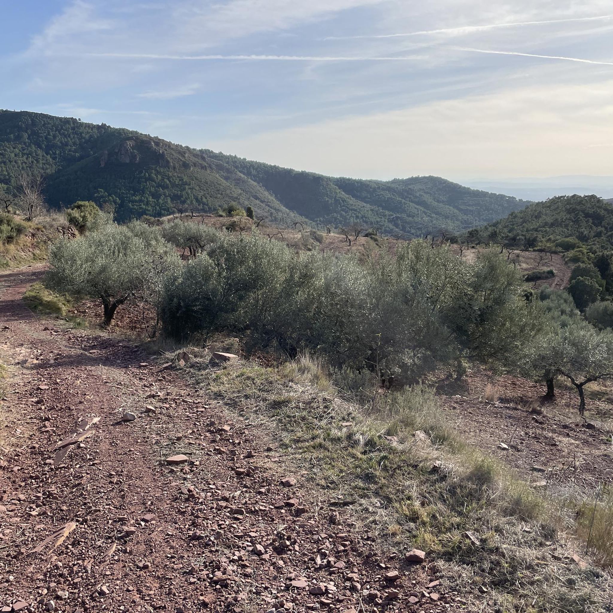
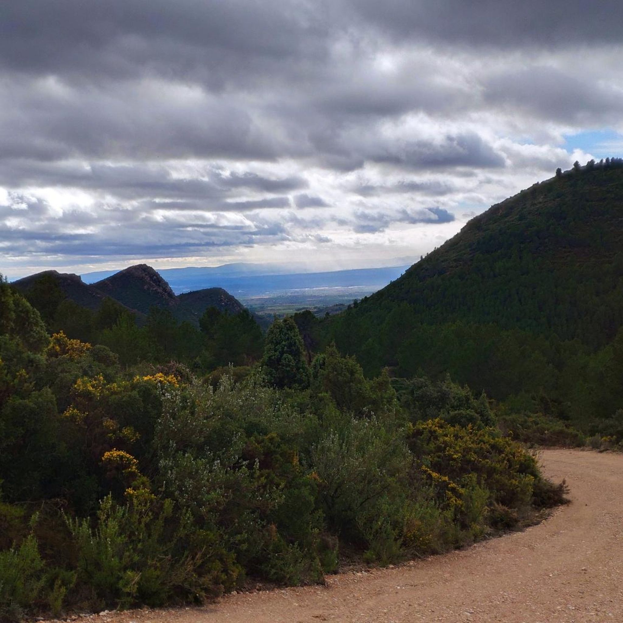
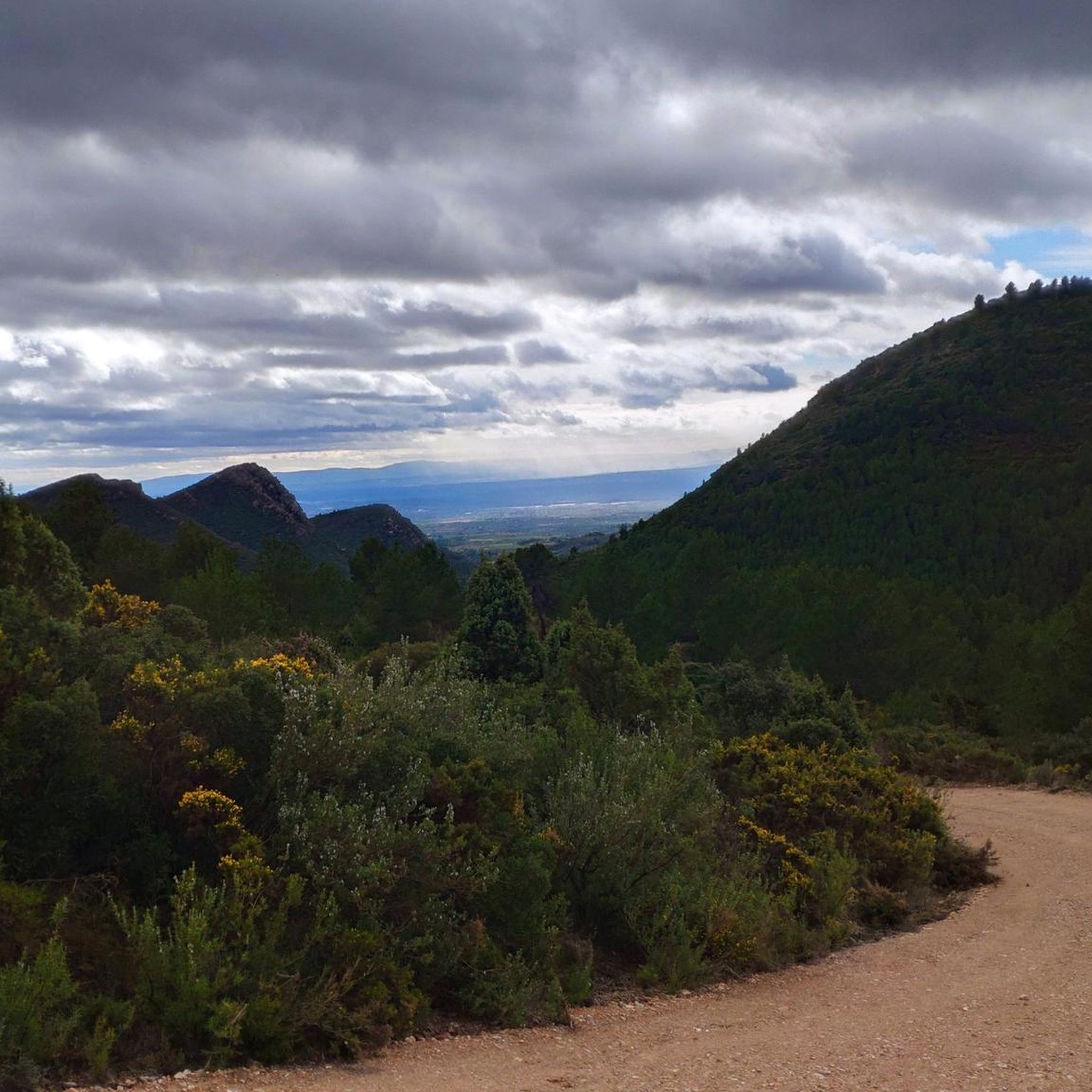
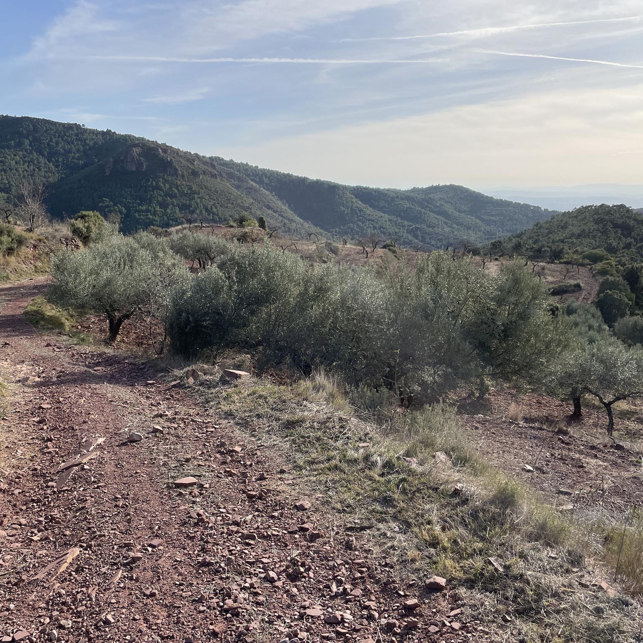
Peak above the town of Gatova. demanding ramps and good views
0
0
Set of houses, they were in ruins but some have now been recovered, a place to pass through or a reference on the routes in the area
0
0
Final stretch to reach Pico del Águila, the slope is significant, although it is concrete, some people will be impressed going down mounted.
0
0


More information about ReviscOlla: https://www.lavanguardia.com/local/valencia/20180926/451319952254/ecoaldea-reviscolla-poblado-morisco-olla-marines-valencia.html
1
0

Although it is not the highest peak of the Serra Calderona, Pico del Águila, located at 878 meters above sea level, is one of the most impressive natural viewpoints in the province of Valencia. Located next to the town of Gátova, Valencia, it is a large peak located in the Serra de la Calderona Natural Park that offers a spectacular view of the entire area.
0
0
Small fountain, a shady spot after the descent from the castle
0
0

Frequently Asked Questions
How many hiking trails are available in Gátova?
Gátova offers a selection of 12 hiking trails, catering to various skill levels. You'll find 3 easy routes, 8 moderate options, and 1 more challenging trail to explore.
What kind of terrain can I expect on Gátova's hiking trails?
The trails around Gátova are characterized by verdant, mountainous terrain within the Sierra Calderona Natural Park. You'll encounter diverse landscapes, including significant natural viewpoints, numerous natural springs, and historical features like windmills.
Are there easy hiking trails suitable for families in Gátova?
Yes, Gátova has 3 easy hiking routes that are well-suited for families or those looking for a more relaxed stroll. These trails offer a gentle introduction to the region's natural beauty.
Which trails offer the best panoramic views in Gátova?
For breathtaking panoramic views, consider routes that ascend to Pico del Águila, which stands at 878 meters. The Eagle Peak – Molino de La Ceja loop also provides excellent vistas, passing by the historic Molino de La Ceja, which itself offers superb views of the Sierra Calderona.
Are there any natural springs or water features along the hiking routes?
Yes, Gátova is rich in natural springs and fountains. Trails often pass by refreshing stops such as Fuente del Vallejo, Fuente del Tormo, Fuente de la Ceja, and Fuente de Iranzo. The El Rebollo Spring – Irazno Spring loop specifically connects several of these natural water sources.
Can I find circular hiking routes in Gátova?
Many of Gátova's hiking trails are circular, allowing you to start and end in the same location. Popular examples include the Eagle Peak – Molino de La Ceja loop and the El Rebollo Spring – Irazno Spring loop, both offering diverse scenery on a continuous path.
Are there any historical sites or landmarks to explore while hiking in Gátova?
Beyond natural beauty, Gátova offers several historical points of interest. You can explore the restored windmills like Molino de Iranzo and Molino de la Ceja, which are often integrated into hiking routes such as the El Molino de Iranzo – Molino de La Ceja loop. Other sites include the archaeological site of El Torrejón and the Piñel aqueduct.
What do other hikers enjoy most about hiking in Gátova?
The hiking experience in Gátova is highly rated by the komoot community, with an average score of 4.5 stars from over 800 reviews. Hikers often praise the diverse mountainous terrain, the presence of natural springs, and the historical windmills that add character to the routes.
Are Gátova's hiking trails dog-friendly?
Generally, dogs are welcome on trails within the Sierra Calderona Natural Park, but it's always advisable to keep them on a leash to protect wildlife and ensure a pleasant experience for all hikers. Please check local regulations for specific areas.
What other natural attractions can I visit near Gátova after a hike?
After your hike, you can explore other natural wonders nearby. Consider visiting the Garbí Viewpoint for more stunning vistas, or the Bride's Leap Waterfall for a picturesque water feature. There are also several caves to discover, such as the Santa Inés Cave.
What is the best time of year to hike in Gátova?
Gátova, located in Valencia, Spain, offers pleasant hiking conditions for much of the year. Spring and autumn provide mild temperatures and lush landscapes, ideal for exploring. Even winter can be suitable, though some higher elevations might be cooler. Summers can be hot, so early morning or late afternoon hikes are recommended during this season.
Most popular attractions around Gátova

Get inspired with the komoot mobile app


