The best cycling routes around Becerril De La Sierra
4.5
(252)
8,030
riders
311
rides
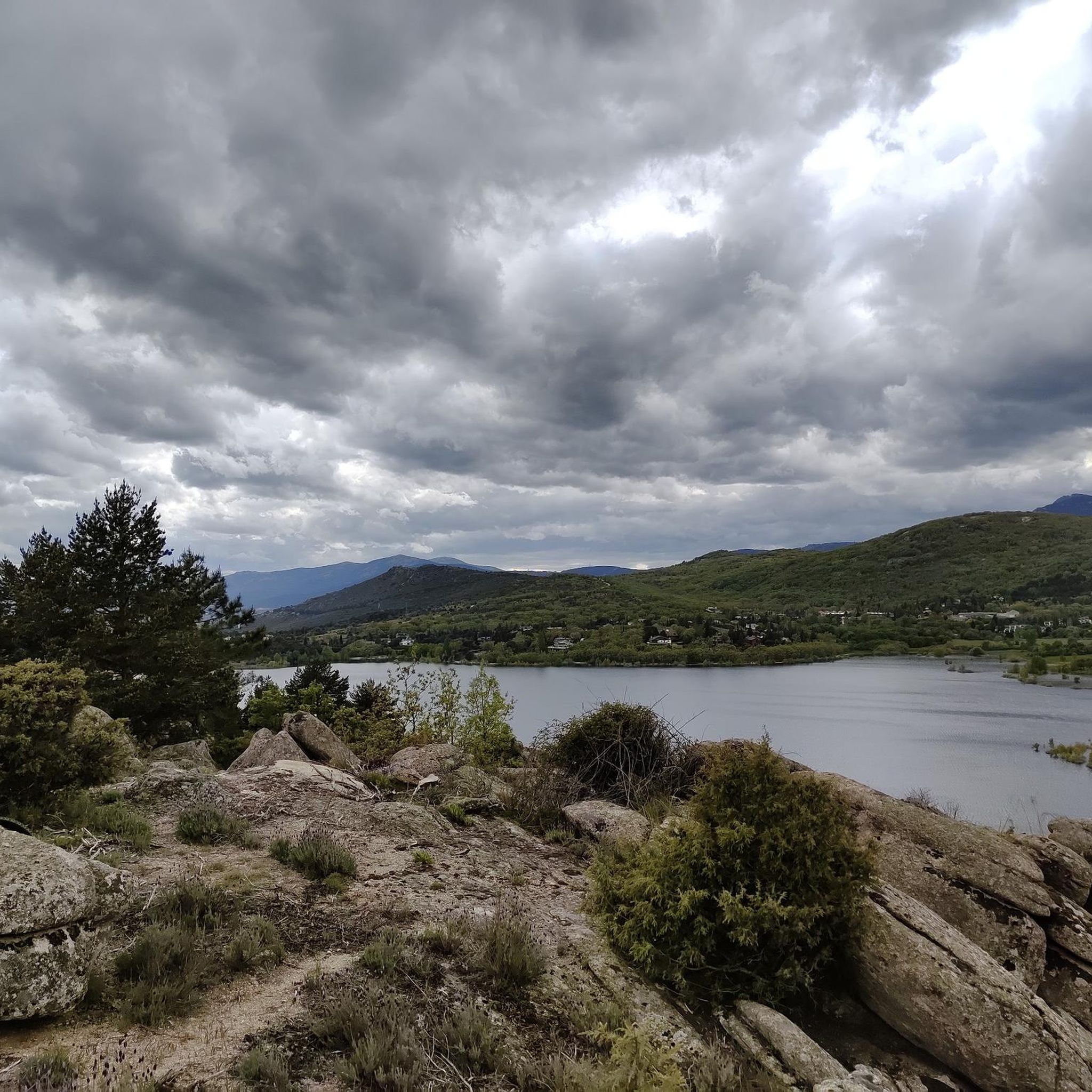
Touring cycling routes around Becerril De La Sierra are situated within the Sierra de Guadarrama National Park, characterized by a mountain climate and varied terrain. The region features prominent peaks, lush valleys, ancient forests, and distinctive granite formations. Notable water bodies include the Navacerrada Reservoir and the Arroyo de la Laguna.
Best touring cycling routes around Becerril De La Sierra
- The most popular touring cycling route is The Barranca and Cerro del Castillo by Navacerrada – circular from Becerril de…
Last updated: October 30, 2026
20
riders
Hard bike ride. Very good fitness required. Mostly paved surfaces.
15
riders
25.2km
02:16
720m
720m
Hard bike ride. Very good fitness required. Mostly paved surfaces.

4.8
(9)
92
riders
Hard bike ride. Very good fitness required. Mostly paved surfaces.
21
riders
31.0km
02:34
480m
480m
Hard bike ride. Very good fitness required. Mostly paved surfaces.
19
riders
31.9km
03:03
680m
680m
Hard bike ride. Very good fitness required. Mostly paved surfaces.
Get access to more routes and recommendations from other explorers.
Already have an account?
Our route recommendations are based on thousands of hikes, rides, and runs completed by other people on komoot.
Start today with a free account
Your next adventure awaits.

Tips from the Community

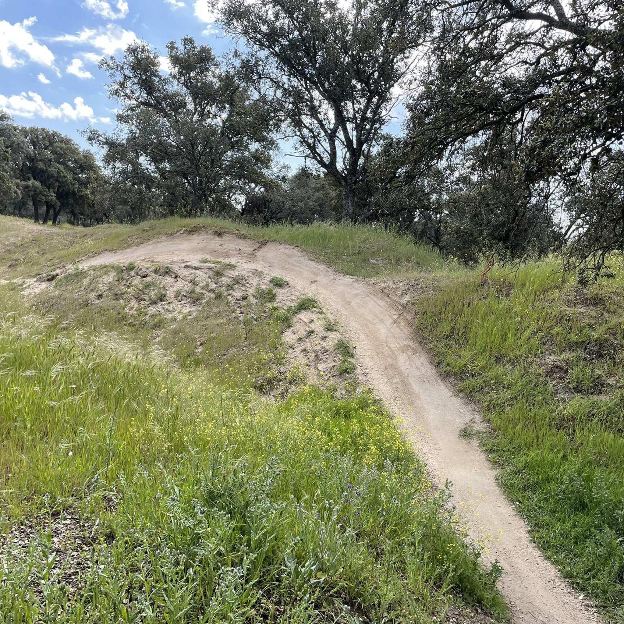
Fun trails between Becerril and Matalpino
0
0
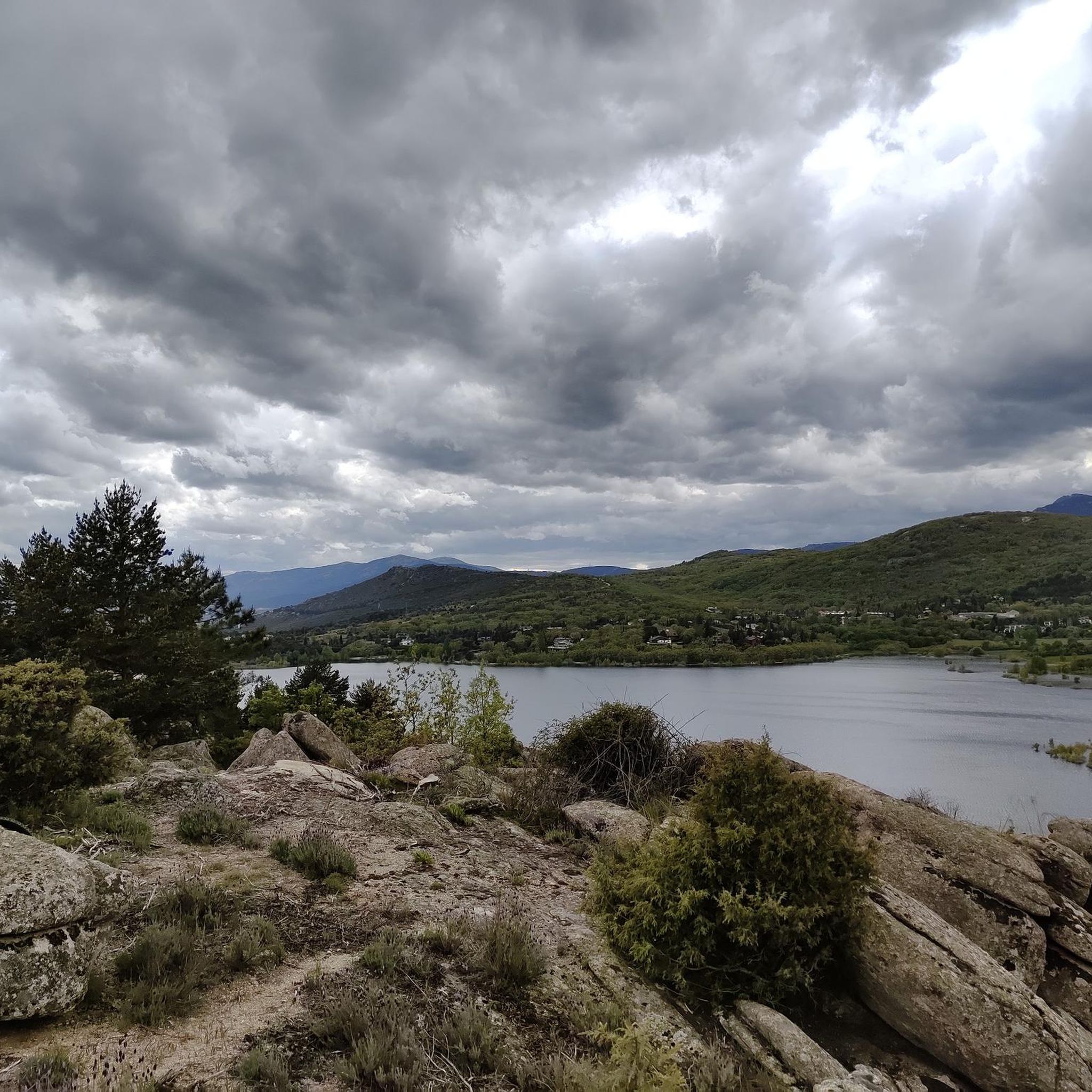
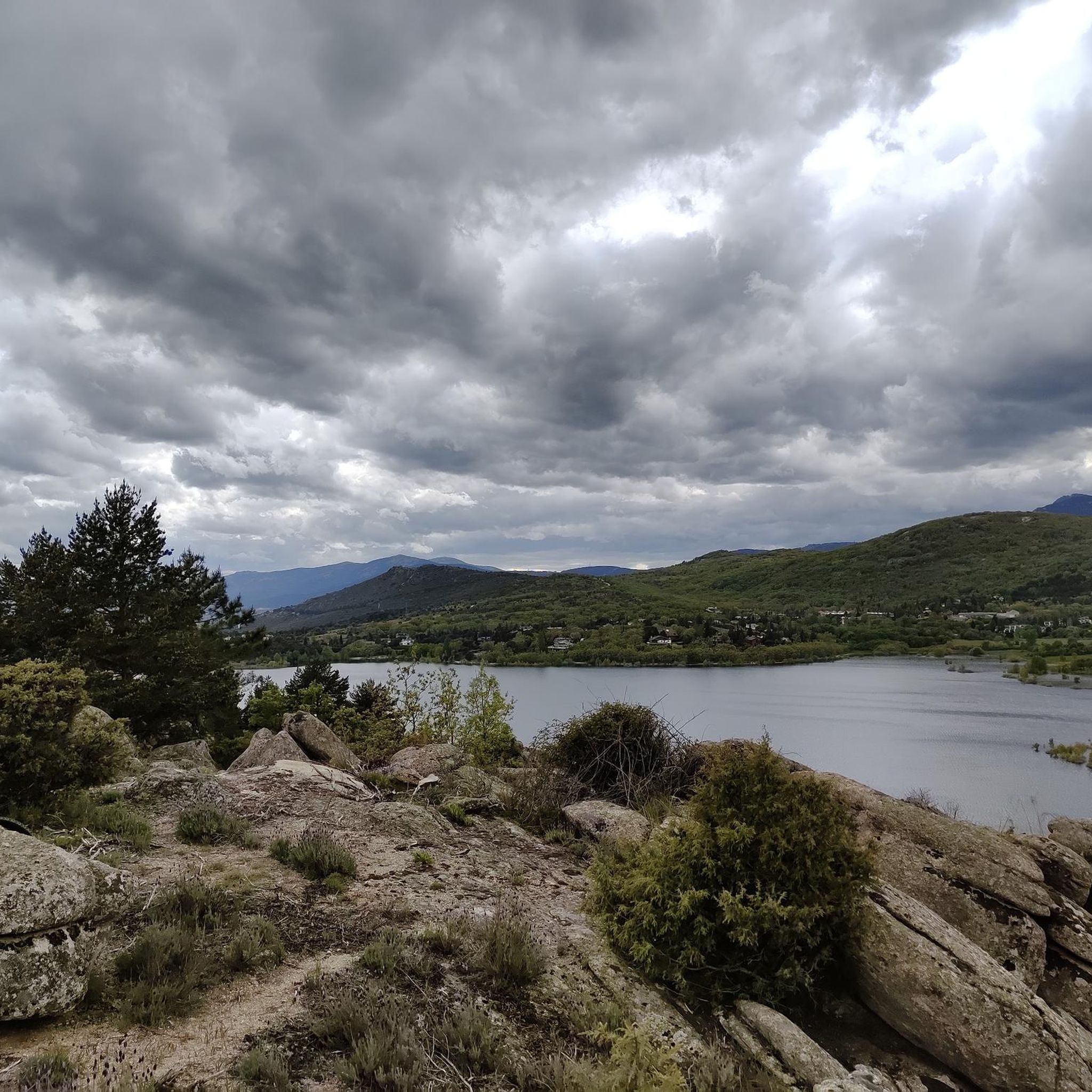
From the path that surrounds the Navacerrada reservoir, we will always have beautiful views.
0
0

Beautiful place full of history.
0
0

A fairly challenging descent. Although it's a wide track, it's very steep and has loose stones.
1
0

At the foot of the significant Peña Mediodía peak, and next to the ecological recreational area of the same name, the Hermitage of San Isidro is located on the slopes of El Boalo, very close to the town center. It is situated in a unique and enviable setting, surrounded by magnificent landscapes.
0
1

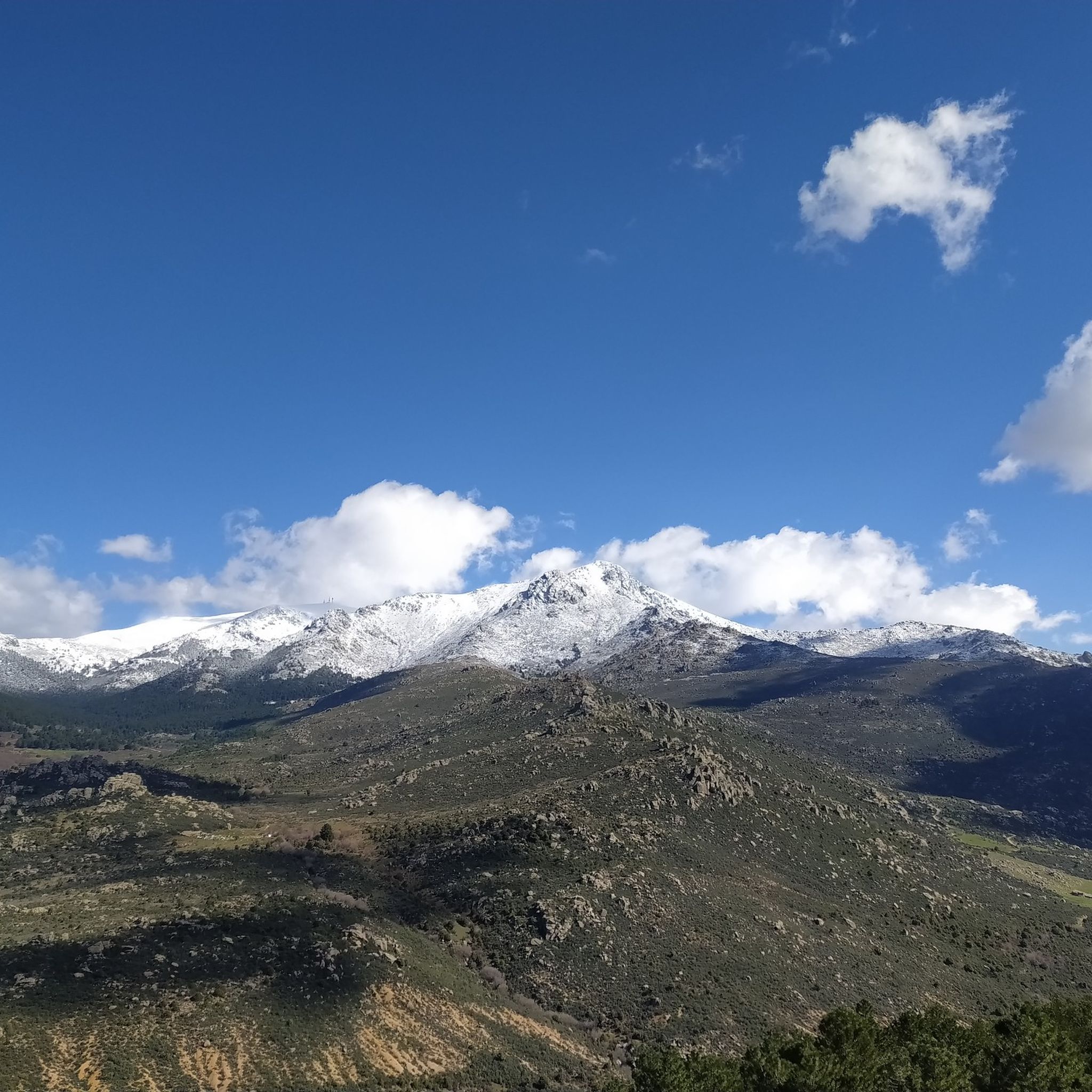
The Mirador de las Canchas is one of the most outstanding panoramic points in the Sierra de Guadarrama, located in the Barranca Valley, within the municipality of Navacerrada, Madrid. From this viewpoint, located at an altitude of approximately 1,754 meters, you can enjoy stunning views of iconic mountains such as La Maliciosa and La Bola del Mundo, as well as the extensive pine forest in the valley and, on clear days, even the city of Madrid in the distance. The route to reach the viewpoint is of moderate difficulty and begins at the La Barranca parking lot. The route, approximately 9 kilometers round trip, runs mainly along a forest track with a gradient of approximately 350 meters, making it accessible to most hikers. During the ascent, you will cross lush pine forests and pass near landmarks such as the Fuente de la Campanilla and the remains of the old Guadarrama Sanatorium.
0
0
A crossing and meeting place for many hikers heading in different directions.
0
1
It's hard to get there, but the views are so cool.
0
1
Frequently Asked Questions
How many touring cycling routes are available around Becerril De La Sierra?
There are over 300 touring cycling routes available around Becerril De La Sierra, offering a wide range of options for different preferences and skill levels.
What is the general difficulty level of touring cycling routes in Becerril De La Sierra?
The routes vary significantly in difficulty. While there are 32 easy routes and 109 moderate options, the majority, around 166, are classified as difficult. This means you can find paths suitable for a relaxed ride or a challenging ascent through the mountains.
Are there any circular touring cycling routes in the area?
Yes, many routes are designed as loops, allowing you to start and finish in the same location. For example, you can explore The Barranca and Cerro del Castillo by Navacerrada – circular from Becerril de la Sierra, or the Old Castle of Manzanares – San Isidro Hermitage loop from Becerril de la Sierra.
What natural features can I expect to see while touring cycling?
The region is rich in natural beauty. You'll encounter majestic peaks like La Maliciosa, lush valleys, ancient forests, and distinctive granite formations such as those found in La Pedriza. Notable water bodies include the Navacerrada Reservoir and the Arroyo de la Laguna. You can also visit the unique Peñalara Glacial Cirque with its serene lagoons.
Are there any historical landmarks or cultural sites accessible by touring bike?
Absolutely. You can cycle past historical landmarks such as the Roman Road of Puerto de la Fuenfría, which is the best-preserved Roman road section in the Community of Madrid. Other routes pass by the Old Castle of Manzanares, the San Isidro Hermitage, and the Batán Bridge. The Camino de Santiago de Madrid also traverses the municipality.
What do other touring cyclists say about the routes in Becerril De La Sierra?
The routes in Becerril De La Sierra are highly rated by the komoot community, with an average score of 4.5 stars from over 220 reviews. Cyclists often praise the varied terrain, the stunning mountain views, and the opportunity to explore both natural landscapes and historical sites.
When is the best time of year for touring cycling in Becerril De La Sierra?
Given its mountain climate, spring and autumn generally offer the most pleasant conditions for touring cycling, with milder temperatures and beautiful scenery. Summer can be warm, especially at lower elevations, while winter may bring colder temperatures and snow to higher peaks, making some routes more challenging or inaccessible.
Are there any family-friendly touring cycling routes in Becerril De La Sierra?
Yes, there are 32 easy routes that are generally more suitable for families or those looking for a less strenuous ride. These routes typically feature gentler gradients and less technical terrain, allowing for a more relaxed experience.
Are there routes that offer panoramic views or viewpoints?
Many routes in the Sierra de Guadarrama offer breathtaking panoramic views. The region is known for its majestic peaks and significant mountain passes like Navacerrada Pass. The Cerro del Hilo viewpoint provides stunning vistas of the National Park, and routes like Alto del Enebrillo Viewpoint – Views of La Pedriza loop from Mataelpino are specifically designed to showcase scenic overlooks.
Can I find routes that pass by reservoirs or lakes?
Yes, the area features several picturesque water bodies. The Navacerrada Reservoir is a significant local landmark, and you can find routes that pass by it. The Manzanares el Real Castle – Santillana Reservoir loop from Becerril de la Sierra is a great option to cycle alongside the Santillana Reservoir.
What kind of terrain can I expect on the touring cycling routes?
The terrain is varied, ranging from paved roads suitable for road bikes to comprehensive mountain biking (BTT) routes. You'll encounter everything from challenging ascents on mountain passes to paths through lush valleys, ancient forests, and areas with distinctive granite formations like La Pedriza.
Most popular routes around Becerril De La Sierra
Most popular attractions around Becerril De La Sierra

Get inspired with the komoot mobile app


Explore more
Browse the best Cycling routes in other regions.
