The best walks and hikes around Parco Regionale del Monte San Bartolo
4.3
(1528)
10,085
hikers
73
hikes
Hiking around Parco Regionale del Monte San Bartolo is characterized by its dramatic coastal landscapes, featuring overhanging cliffs that drop to thin pebble beaches. The region's terrain includes mixed forests of oak and black hornbeam, cultivated fields, and vineyards. Panoramic viewpoints are abundant, offering vistas of the Adriatic Sea and surrounding areas. This diverse environment provides a range of hiking experiences, from coastal paths to routes through wooded hills.
Best hiking trails around Parco Regionale del Monte San Bartolo
- The most popular hiking route is San Bartolo Trail: La Montagnola Loop, a 3.1 miles (5.0 km) trail that takes 1 hour 30 minutes to complete. This easy route offers panoramic views of the Bay of Cattolica and Riccione.
- Another top favourite among local hikers is Sentiero San Bartolo towards Baia di Vallugola, an easy 2.8 miles (4.5 km) path. This trail leads towards the picturesque port of Baia Vallugola, offering coastal scenery.
- Local hikers also love the San Bartolo Trail, a 5.4 miles (8.6 km) trail leading through varied terrain with coastal views, often completed in about 2 hours 30 minutes.
- Hiking around Parco Regionale del Monte San Bartolo is defined by overhanging cliffs, mixed forests, and abundant panoramic viewpoints. The network offers options for varying inclines and difficulty levels suitable for all fitness levels.
- The routes in Parco Regionale del Monte San Bartolo are highly rated by the komoot community with an average score of 4.4 stars from over 700 reviews. More than 3000 hikers have used komoot to explore Parco Regionale del Monte San Bartolo's varied terrain.
Last updated: October 10, 2026
4.5
(102)
234
hikers
5.03km
01:30
150m
150m
Start your hike on the San Bartolo Trail: La Montagnola Loop, an easy route that takes you through varied terrain. You will encounter sections of unpaved paths, asphalt, and gravel as you make your way along this 3.1 miles (5.0 km) journey. The highlight of your adventure is reaching La Montagnola, often called "The Roof of the World," where you can enjoy expansive panoramic views. From this vantage point, you can look out over the Bay of Cattolica and Riccione, with the entire Gulf stretching from Gabicce to Rimini. The route involves a gentle climb, gaining 508 feet (155 metres) in elevation, and you can expect to complete it in about 1 hour and 29 minutes.
This loop is generally considered easy, making it suitable for most hikers without requiring special fitness or experience. The paths are easily accessible, and the route often begins from Colombarone. You will find a mix of natural and paved surfaces throughout your walk. Plan your visit during pleasant weather to fully appreciate the coastal views.
The trail offers a wonderful way to experience the natural beauty of the Parco Regionale del Monte San Bartolo. This regional park is known for its unique landscape where hills meet the Adriatic Sea, creating dramatic cliffs and rich biodiversity. The route provides a clear sense of the region's distinct geography and offers a different perspective on the coastline.
4.3
(55)
180
hikers
8.64km
02:31
240m
240m
Hike the moderate 5.4-mile San Bartolo Trail in Parco Naturale Regionale del Monte San Bartolo, featuring sea views and historic villas.

4.5
(17)
82
hikers
4.47km
01:21
150m
150m
Easy hike. Great for any fitness level. Easily-accessible paths. Suitable for all skill levels.
4.5
(17)
66
hikers
19.5km
05:36
470m
470m
Hard hike. Very good fitness required. Easily-accessible paths. Suitable for all skill levels.
4.6
(7)
69
hikers
5.62km
01:36
120m
120m
Hike the easy 3.5-mile San Bartolo Trail in Parco Naturale Monte San Bartolo, featuring coastal views and historical villages.
Get access to more routes and recommendations from other explorers.
Already have an account?
Our route recommendations are based on thousands of hikes, rides, and runs completed by other people on komoot.
Start today with a free account
Your next adventure awaits.
Popular around Parco Regionale del Monte San Bartolo
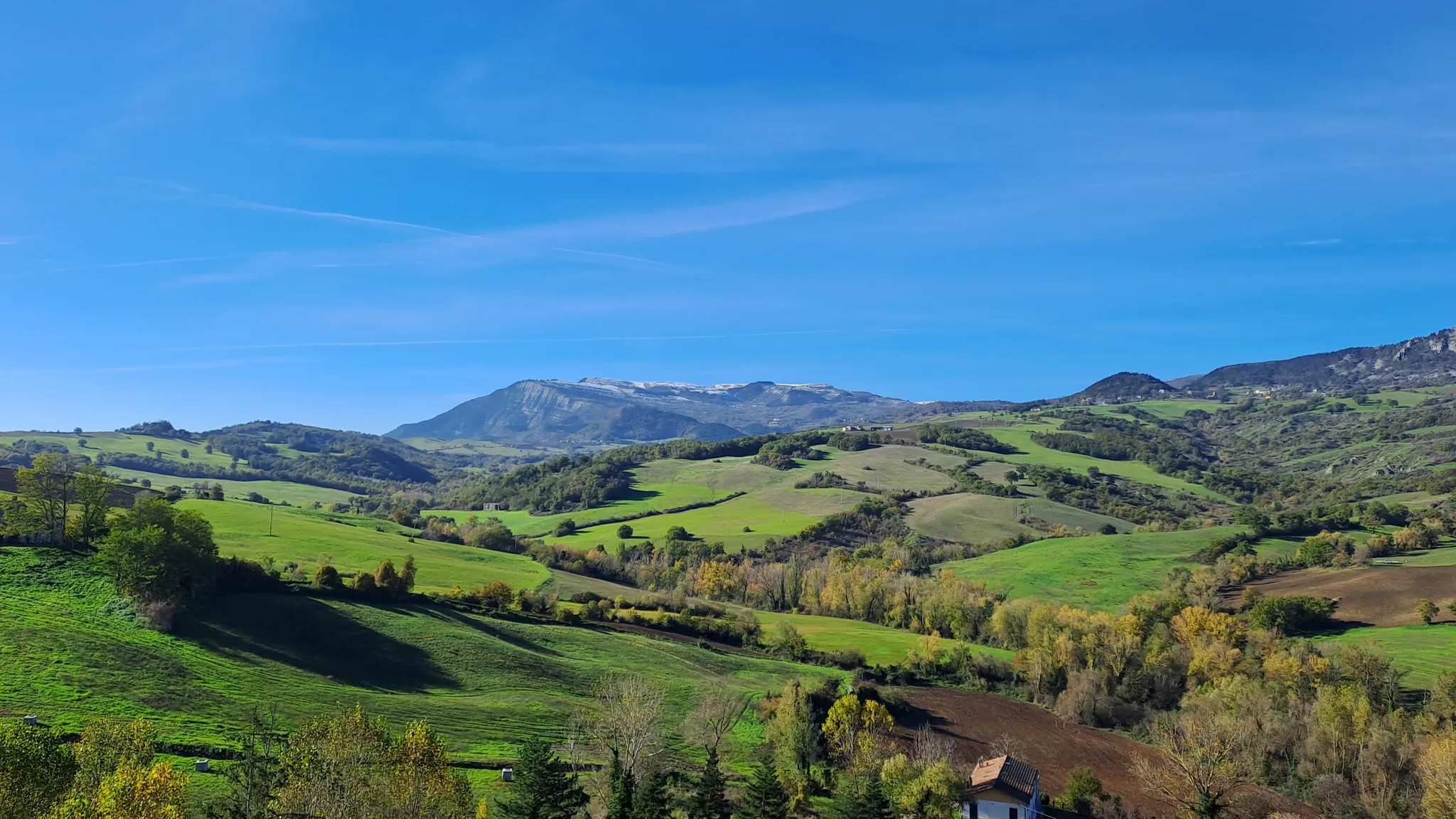
Cycling the Marche – sea to the mountains, among villages and hills
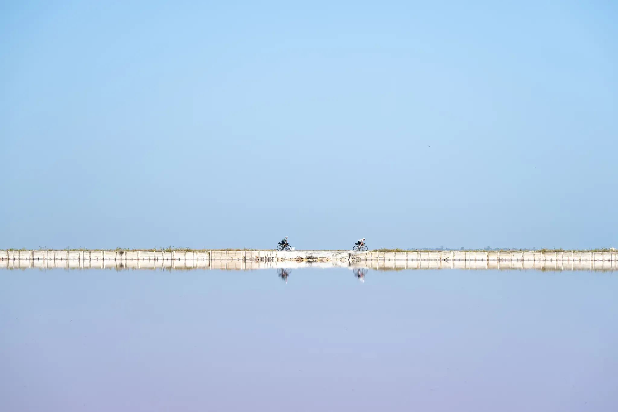
Trieste to Santa Maria di Leuca – the Adriatic Cycle Route
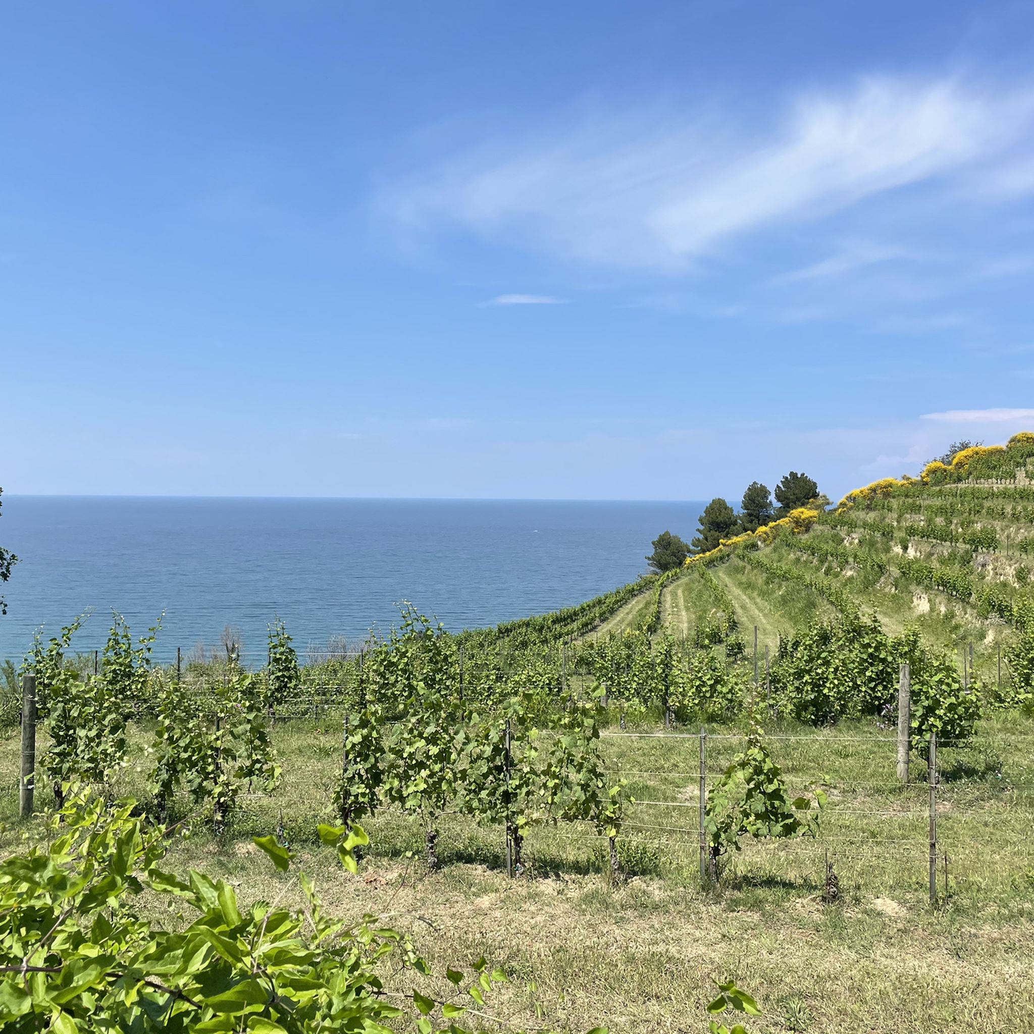
Road Cycling Routes around Parco Regionale del Monte San Bartolo
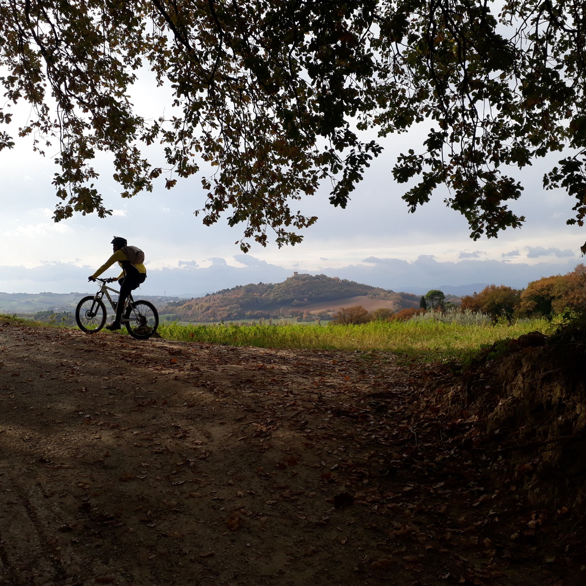
MTB Trails around Parco Regionale del Monte San Bartolo
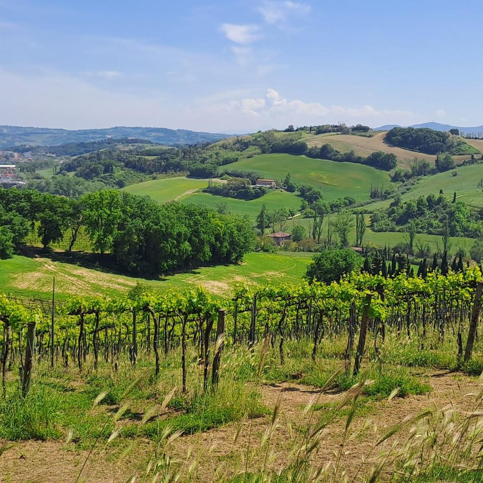
Running Trails around Parco Regionale del Monte San Bartolo
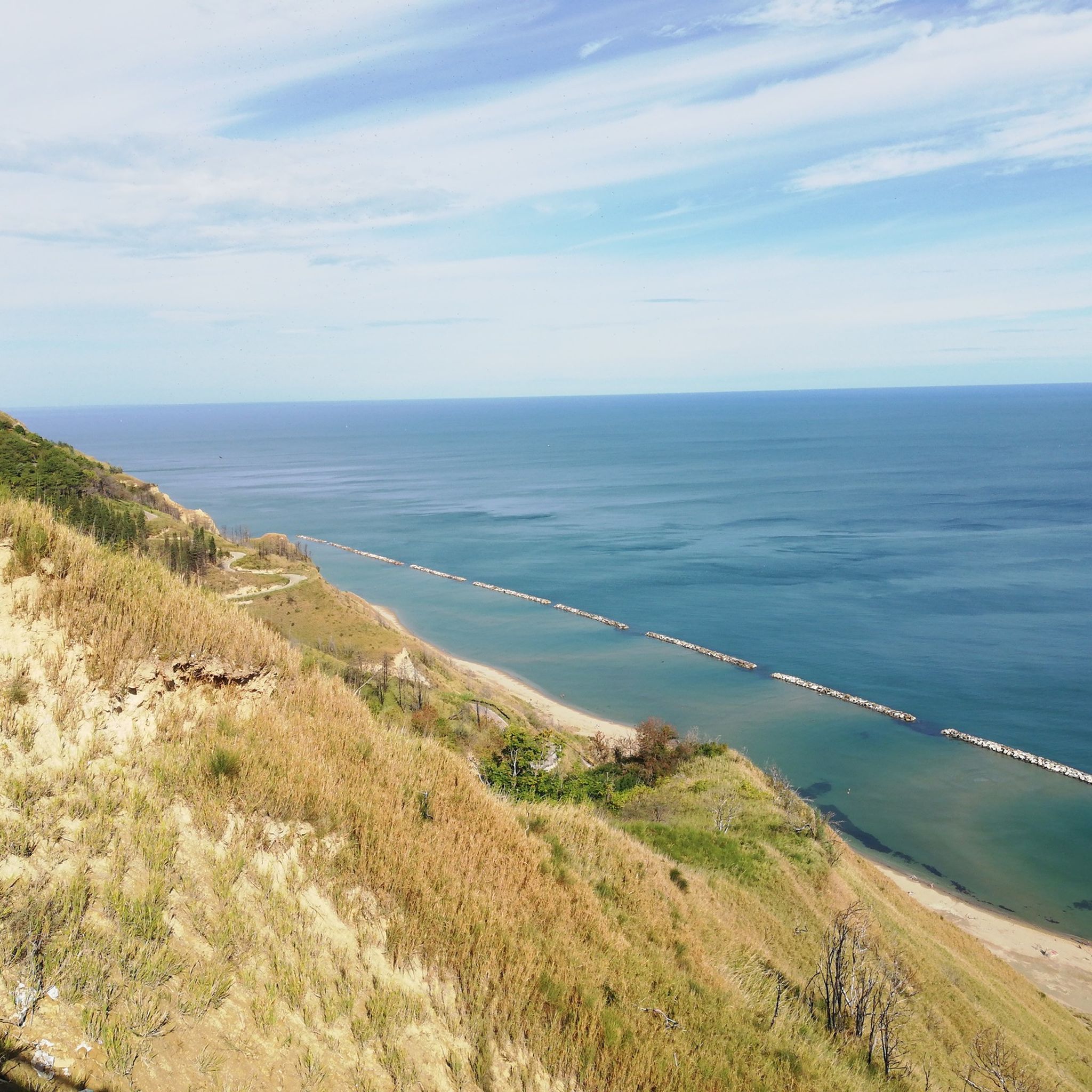
Cycling around Parco Regionale del Monte San Bartolo
Gravel biking around Parco Regionale del Monte San Bartolo
Other adventures around Parco Regionale del Monte San Bartolo


Tips from the Community


Here we are in one of the best sections of the park, wide panoramic view, on days with high visibility you can also see Ravenna, Rimini and Gradara well
1
0
Casteldimezzo is a small fraction of the city of Pesaro, perched on a hill overlooking the sea: it does not reach high altitudes, but on clear days the panorama stretches far and the gaze manages to touch the profiles of Fano and Ravenna. The name derives from the geographical position of the village, located halfway between the fortifications of Gradara and Fiorenzuola di Focara. Formerly called Castrum Medium, it served as a strategic connection point in the defensive system of the Pesaro coastline.
2
0
This is probably the most iconic and photographed stretch of trail in the entire park. For those who prefer a shorter walk, it is possible to leave the car in the nearby car park: one of the most spectacular viewpoints of San Bartolo starts from here. Continuing in the direction of Cattolica, the trail crosses the medieval villages of Fiorenzuola di Focara (mentioned by Dante in the Divine Comedy) and Casteldimezzo. In my opinion, this portion of the park is the most fascinating of all for the perfect mix of nature and villages perched above the sea.
2
0
A good place to park the car at the start of the Monte San Bartolo Natural Park. There is also a convenient picnic area.
2
0

A pearl along the coast of San Bartolo Park!
2
0
A beautiful village with an exceptional restaurant
2
0
Beautiful vegetation and beautiful panorama
2
0
Frequently Asked Questions
What kind of terrain can I expect on the hiking trails in Parco Regionale del Monte San Bartolo?
The trails in Parco Regionale del Monte San Bartolo offer a diverse landscape. You'll find paths winding through mixed forests of oak and black hornbeam, cultivated fields, and vineyards. A distinctive feature is the presence of overhanging cliffs that drop to thin, fossil-rich pebble beaches. The varied terrain provides a range of experiences, from coastal paths to routes through wooded hills.
Are there hiking trails suitable for families with children in Parco Regionale del Monte San Bartolo?
Yes, Parco Regionale del Monte San Bartolo offers several easy trails perfect for families. For example, the San Bartolo Trail: La Montagnola Loop is an easy 3.1-mile (5.0 km) route that provides panoramic views and is generally completed in about 1 hour 30 minutes. Many trails have varying inclines suitable for different fitness levels, including those with younger hikers.
What are the best viewpoints or panoramic spots along the hiking routes?
Parco Regionale del Monte San Bartolo is rich in panoramic viewpoints. Notable spots include the "Tetto del Mondo" (Roof of the World), offering 360-degree views, and the trail leading to the "Cross on Mount Castellaro," which provides stunning vistas of sheer cliffs meeting the sea. You can also enjoy breathtaking sea views from Gabicce Monte and along The San Bartolo Scenic Road.
Are there any challenging hiking trails for experienced hikers?
While many trails are easy to moderate, there are options for more experienced hikers. For instance, Crossing the Parco Regionale del Monte San Bartolo is a difficult 12.1-mile (19.5 km) route with significant elevation gain, typically taking over 5 hours to complete. Overall, the park features 2 difficult routes out of 77 total trails.
Can I bring my dog on the hiking trails in Parco Regionale del Monte San Bartolo?
The park is generally dog-friendly, allowing you to enjoy the trails with your canine companion. However, it's always recommended to keep dogs on a leash, especially in areas with wildlife or near cliffs, and to respect local regulations regarding pet access in specific protected zones or facilities.
What kind of wildlife might I encounter while hiking?
Parco Regionale del Monte San Bartolo is a vital area for biodiversity. You might spot various bird species, including migratory birds like the peregrine falcon, honey buzzard, and marsh harrier. Coastal seabirds such as the great cormorant and eider also winter here. On land, the park is home to foxes, badgers, porcupines, and roe deer.
Are there any circular hiking routes available?
Yes, circular routes are available, allowing you to start and end your hike in the same location. A popular option is the San Bartolo Trail: La Montagnola Loop, which offers panoramic views of the Bay of Cattolica and Riccione as you complete the circuit.
What historical or cultural attractions can I explore near the hiking trails?
Beyond natural beauty, the park is dotted with historical and cultural sites. You can visit charming ancient villages like Casteldimezzo and Fiorenzuola di Focara. The park also features historical villas such as Villa Imperiale and Villa Caprile, known for their gardens. Archaeological remains, including a Roman villa with mosaics, can be explored in Colombarone, and the picturesque port of Baia Vallugola is another highlight.
What is the best time of year to go hiking in Parco Regionale del Monte San Bartolo?
The park is enjoyable year-round, but spring and autumn offer particularly pleasant conditions for hiking, with milder temperatures and vibrant natural colors. Spring brings blooming flora, while autumn showcases rich foliage. Summer can be warm, making early morning or late afternoon hikes ideal, especially along coastal paths where sea breezes provide some relief.
How many hiking trails are there in Parco Regionale del Monte San Bartolo?
There are over 75 hiking trails available in Parco Regionale del Monte San Bartolo, catering to various skill levels. This includes 39 easy routes, 36 moderate routes, and 2 more difficult options, ensuring there's a path for every hiker.
What do other hikers enjoy most about hiking in Parco Regionale del Monte San Bartolo?
The area is highly rated by the komoot community, with an average score of 4.4 stars from over 700 reviews. Reviewers often praise the dramatic coastal landscapes, the stunning panoramic viewpoints, and the diverse terrain that combines forests with sea views. The well-maintained paths and the blend of natural beauty with historical sites are frequently highlighted.
Is public transport available to reach the trailheads in Parco Regionale del Monte San Bartolo?
Public transport options are available to reach the towns bordering the park, such as Pesaro and Gabicce Mare, which serve as starting points for many trails. From these towns, local buses or short taxi rides can often take you closer to specific trailheads within the park. It's advisable to check local bus schedules for the most up-to-date information.
Are there parking facilities available for hikers?
Yes, parking facilities are generally available in and around the villages and popular access points within Parco Regionale del Monte San Bartolo, such as Gabicce Monte, Fiorenzuola di Focara, and near key viewpoints. Some areas may have designated parking lots, while others offer roadside parking. It's recommended to arrive early during peak seasons to secure a spot.
Most popular routes around Parco Regionale del Monte San Bartolo
Most popular attractions around Parco Regionale del Monte San Bartolo

Get inspired with the komoot mobile app


Explore more
Browse the best Hikes in other regions.
