The best road cycling routes around Vall De Almonacid
4.7
(62)
4,367
riders
84
rides
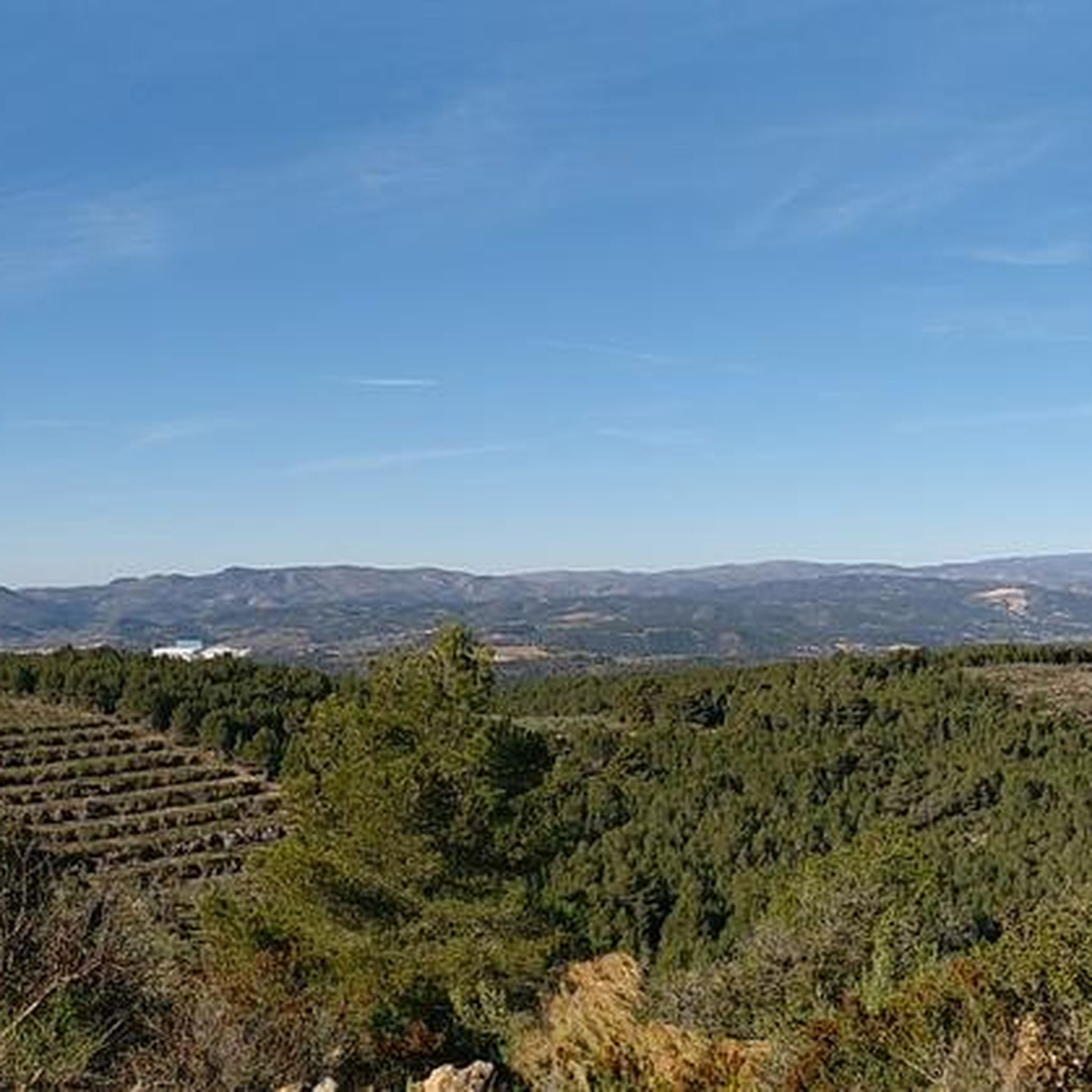
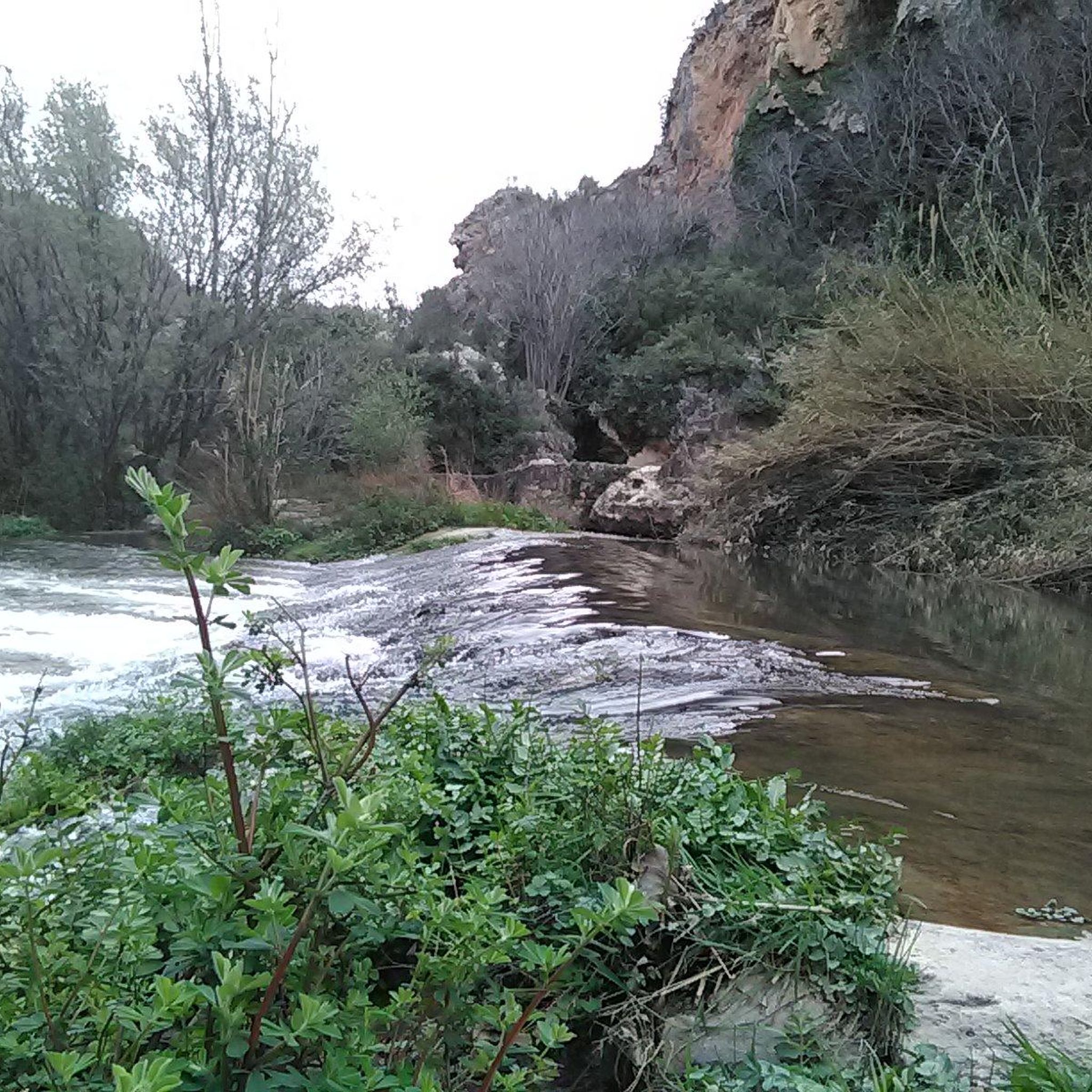
Road cycling routes around Vall De Almonacid are primarily located within the Sierra de Espadán Natural Park, offering a diverse landscape for cyclists. The region features varied terrain with significant ascents and descents, including challenging mountain passes and pine forests. Cyclists can expect quiet rural roads with low traffic density, providing an immersive experience in nature. The area's natural features, such as the Chico River and numerous fountains, add to the scenic appeal of the routes.
Best road cycling routes…
Last updated: October 28, 2026
5.0
(1)
74
riders
54.0km
03:04
1,190m
1,190m
Hard road ride. Very good fitness required. Mostly well-paved surfaces and easy to ride.
18
riders
94.6km
04:53
1,500m
1,500m
Hard road ride. Very good fitness required. Mostly well-paved surfaces and easy to ride.

4.0
(1)
120
riders
82.7km
04:22
1,510m
1,510m
Hard road ride. Very good fitness required. Mostly well-paved surfaces and easy to ride.
4.5
(2)
112
riders
74.8km
03:43
1,150m
1,150m
Hard road ride. Very good fitness required. Some segments of this route may be unpaved and difficult to ride.
5.0
(4)
102
riders
38.5km
01:54
520m
520m
Moderate road ride. Good fitness required. Mostly well-paved surfaces and easy to ride.
Get access to more routes and recommendations from other explorers.
Already have an account?
Our route recommendations are based on thousands of hikes, rides, and runs completed by other people on komoot.
Start today with a free account
Your next adventure awaits.


Tips from the Community

Altitude: 1016 m Distance: 17.4 km Elevation gain: 699 m Average gradient: 4.02 % Road in perfect condition, about 8 m wide up to the Fuente de Ribas, where it narrows significantly until the Cueva Santa, where it regains its initial width. Asphalt in good condition except for about 2.5 km from 1 km after the Masía de Ribas to the Cueva Santa, which is older and worn, but presents no problems. Mountain pass with its continuation to the summit of Monmajor, the highest point of the Sierra Calderona and which also marks the end of this mountain range, a point from which we will enjoy an impressive 360º view. It is a quite interesting climb, both for its length and for its sustained ramps in the central part and the layout of its road, especially from the Masía de Ribas (or Rivas, which we will also see written in many places). Upon reaching the top, you can continue along a concrete track to the Pico Monmajor.
0
0


Fountain at the entrance of the town of Alcublas, a point to regroup before entering the town
0
0
Town in the interior of Valencia, it has services such as bars and restaurants, busy on weekends. For routes, it has the advantage that the supermarket also opens on Sundays.
0
0

Jérica is a beautiful mountain village in the province of Castellón, in the Valencian Community. With just over 1,500 inhabitants, Xèrica (in Valencian) is an attractive option for a rural getaway thanks to its landscape and rustic architecture.
15
1

Don't forget to visit the old town and its narrow streets.
2
0
In this historic place, in 1237, King James I donated the image of the Virgin of Health to the town of Alcublas, which he carried with him on his horse.
0
0
The road is in perfect condition, 8 meters wide, with vertical signs. Light traffic, although on weekends it is heavily used by bikers until Alcublas. From this point on, traffic is light, and after Sacañet, it is practically nonexistent. There may be snow restrictions in winter from Sacañet onwards. From Sacañet onwards, the last 4.2 km are the toughest, with a gradient of 250 meters at an average of 6%, and with sections that reach 12%. The most interesting aspect is being able to link the three mountain passes starting from Lliria (Port d'Alcublas, Alto de la Cruz del Collado, and finally Puerto de La Bellida) for a total of almost 30 km and 1,400 m+. You can also climb up a dirt track (quite broken, difficult with a skinny one, even if it's gravel) to Col de La Bellida and the geodetic vertex, along the path that branches off to the left after passing the mountain pass (another 2 km at 3% but with ramps that go up to 15%).
0
0
Frequently Asked Questions
What kind of terrain can I expect when road cycling around Vall de Almonacid?
Road cycling around Vall de Almonacid offers a diverse landscape, primarily within the Sierra de Espadán Natural Park. You'll encounter varied terrain with significant ascents and descents, including challenging mountain passes and scenic pine forests. The routes often traverse quiet rural roads with low traffic density, providing an immersive experience in nature.
Are there challenging climbs for experienced road cyclists in the region?
Yes, the area is known for its demanding climbs. Routes can include significant mountain passes such as Eslida Pass and Puerto de la Nevera, with some sections featuring average gradients of around 7-7.7%. These provide a good test for experienced riders.
Are there any easier road cycling routes suitable for beginners?
While many routes are challenging, Vall de Almonacid does offer options for less experienced cyclists. There are 4 easy routes and 34 moderate routes available, providing a range of choices for those looking for less demanding rides or to build up their fitness.
Can I find circular road cycling routes in the area?
Yes, many of the road cycling routes around Vall de Almonacid are circular. For example, you can explore the Natural Park of Serra d'Espada — Circular from Segorbe to Aín or the Tour of Alto Palancia — Circular from Segorbe through Montmayor, both offering comprehensive loops through the scenic landscape.
What natural features or landmarks can I see along road cycling routes?
The routes often pass through the stunning Sierra de Espadán Natural Park, offering views of pine forests and varied mountain scenery. You might also encounter water features like the Chico River and numerous fountains. Notable landmarks include the impressive 12th-century Almonecir Castle, which offers panoramic views, and various mountain passes such as Coll de Barres.
Are there any historical sites accessible by road bike?
Yes, the region is rich in history. You can cycle past the historic center of Jérica on routes like the Historic center of Jérica – Segorbe loop from Segorbe - Arrabal. The village of Vall de Almonacid itself features traditional houses and the Baroque-style Church of La Purísima Concepción. The Almonecir Castle is also a prominent historical landmark.
What do other road cyclists enjoy most about road cycling in Vall de Almonacid?
The area is highly rated by the komoot community, with an average score of 4.7 stars from over 60 reviews. Cyclists often praise the challenging mountain passes, the immersive experience within the Sierra de Espadán Natural Park, and the quiet rural roads with low traffic density.
Is there parking available for cyclists in Vall de Almonacid?
Vall de Almonacid is a small municipality, and while specific dedicated cycling parking might not be signposted, you can generally find street parking within the village or at trailheads for various routes. It's advisable to check local regulations upon arrival.
How can I reach Vall de Almonacid with my bike using public transport?
Public transport options to Vall de Almonacid are limited. While some regional bus services might operate, carrying bikes can be challenging. Many cyclists prefer to drive to the area, often starting their rides from nearby larger towns like Segorbe or Navajas, which may have better transport links.
What is the best time of year for road cycling in Vall de Almonacid?
The best time for road cycling in Vall de Almonacid is typically during the spring (April-May) and autumn (September-October) months. During these periods, the weather is generally mild and pleasant, avoiding the intense heat of summer and the cooler, potentially wetter conditions of winter. This allows for comfortable riding through the varied terrain.
Are there any routes that pass by lakes or reservoirs?
Yes, some routes in the broader region of Vall de Almonacid offer views of water features. You can find highlights such as El Regajo Dam and the View of the Regajo Reservoir, providing scenic stops along your ride.
Are there any specific routes that offer views of castles?
Absolutely. The View of Gaibiel Castle – Almonecir Castle loop from Navajas is a moderate route that specifically highlights two impressive castles, offering historical sights alongside your cycling experience.
Most popular routes around Vall De Almonacid
Most popular attractions around Vall De Almonacid

Get inspired with the komoot mobile app


Explore more
Browse the best Road cycling routes in other regions.
