The best mountain hikes around Colldejou
4.8
(3)
11
hikers
4
hikes
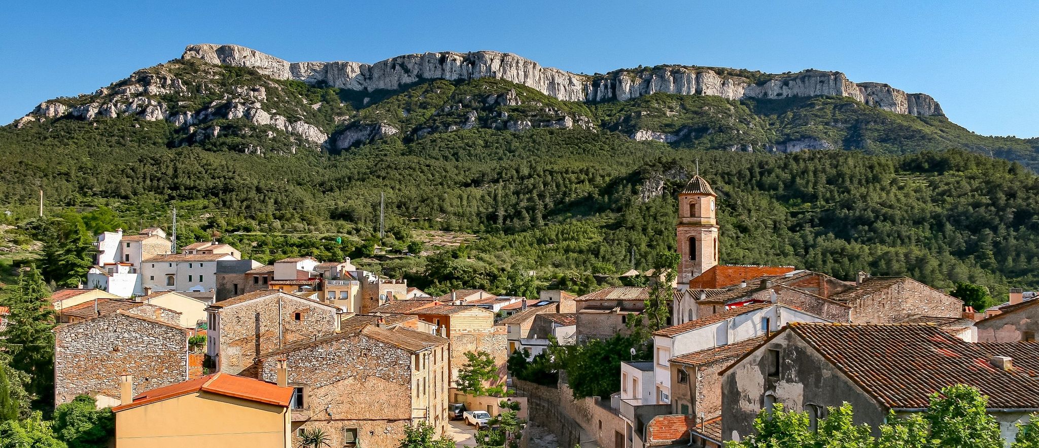
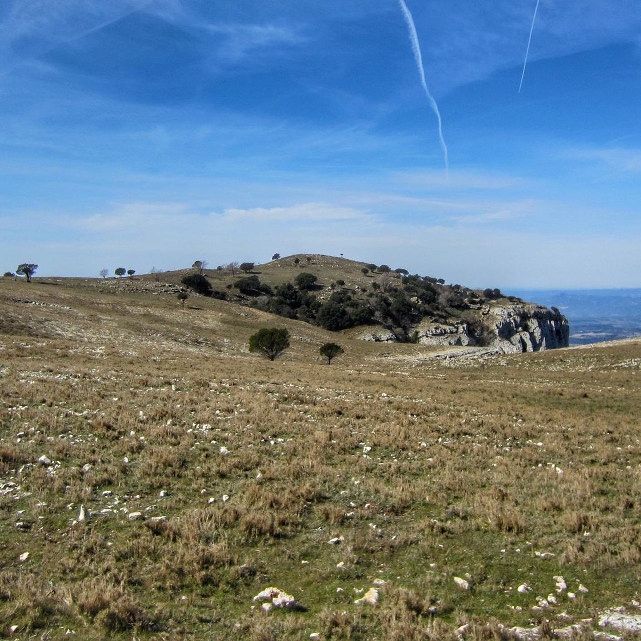
Mountaineering routes Colldejou are concentrated around the Mola de Colldejou, the highest point in this section of the Catalan Pre-Coastal Range at 921.8 meters above sea level. The region is characterized by formidable limestone rock walls and steep cliffs, providing challenging environments for mountaineers. Slopes feature holm oak forests, transitioning to pastures at higher elevations. This diverse terrain offers a range of ascents within the Priorat and Tarragona province.
Best mountaineering routes around Colldejou
- The most popular mountaineering route is…
Last updated: October 4, 2026
5
hikers
8.34km
03:22
500m
500m
Hard mountaineering route. Good fitness required. Sure-footedness, sturdy shoes and alpine experience required.
5.0
(1)
3
hikers
4.94km
01:41
240m
240m
Moderate mountaineering route. Great for any fitness level. Mostly accessible paths. Sure-footedness required.

1
hikers
10.6km
04:36
790m
790m
Hard mountaineering route. Good fitness required. Sure-footedness, sturdy shoes and alpine experience required.
4.5
(2)
2
hikers
7.67km
02:52
400m
400m
Hard mountaineering route. Good fitness required. Sure-footedness, sturdy shoes and alpine experience required.
Our route recommendations are based on thousands of hikes, rides, and runs completed by other people on komoot.
Start today with a free account
Your next adventure awaits.
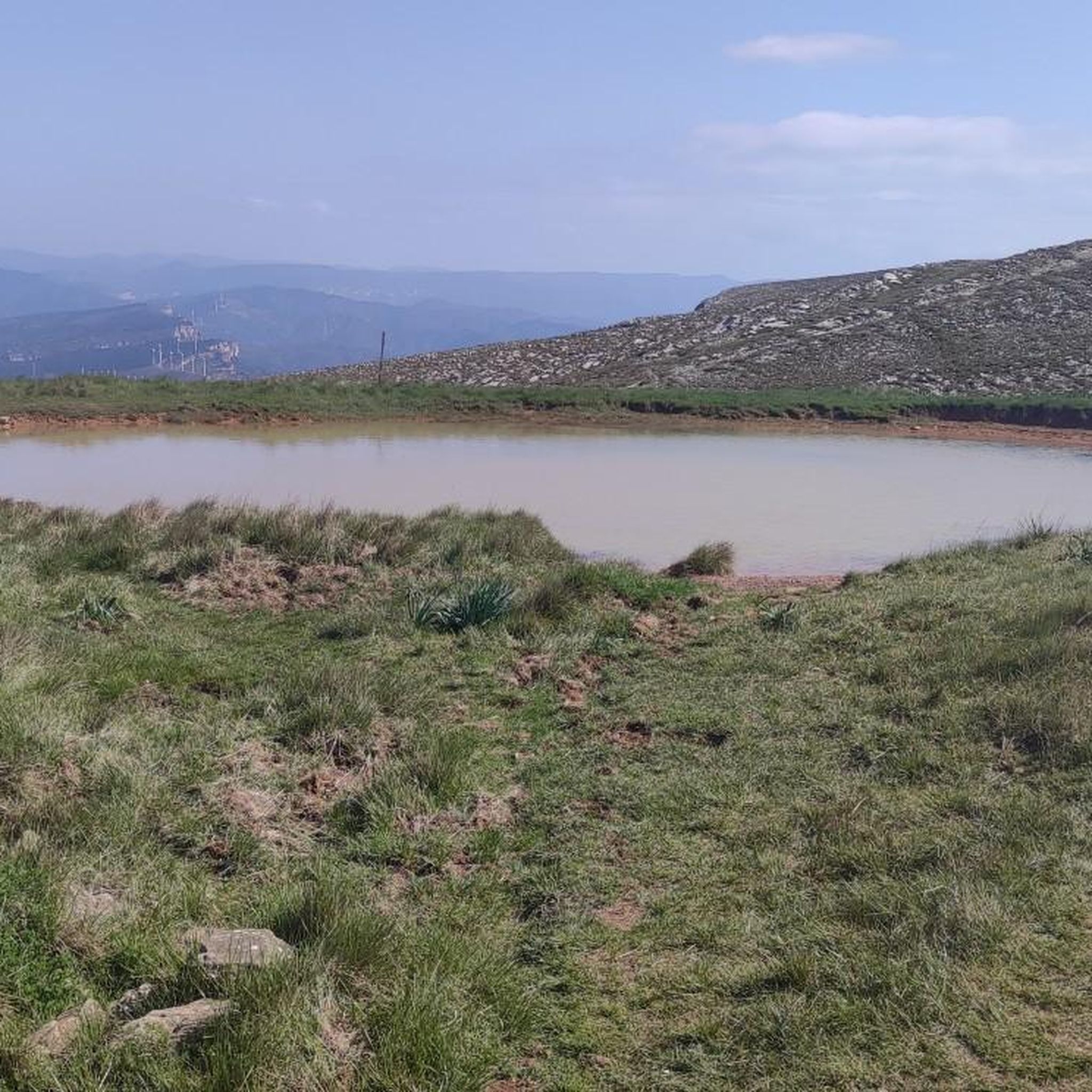
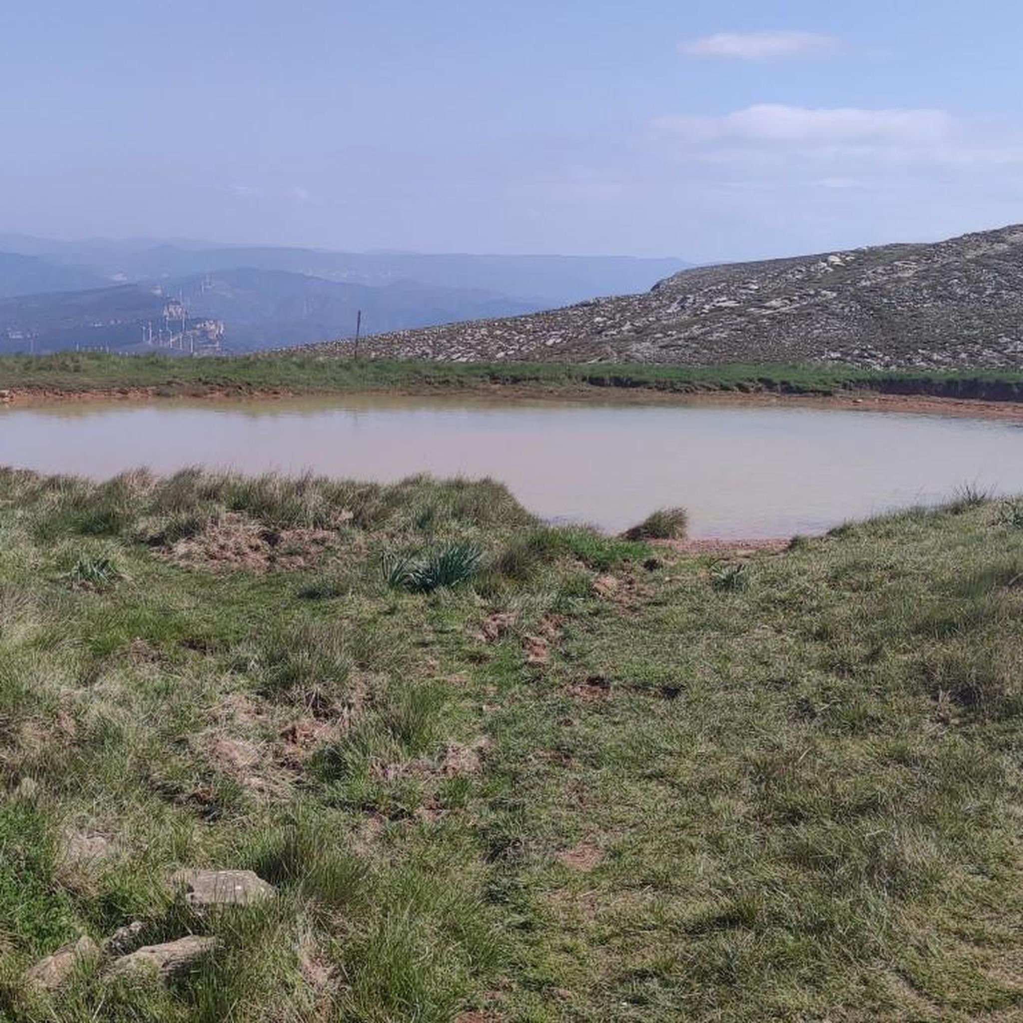

Other adventures around Colldejou

Tips from the Community

A wonderful place with impressive views...!!!
0
0

Short stretch on a mix of scree and rock, to be tackled without problems with suitable footwear, also suitable for trained dogs and children accustomed to the mountains
1
0

Easy climb and spectacular views. Worth .
2
0

The view of the sea and the coast is fantastic
0
0

Highly recommended, there is also a restaurant up here and the view from here is simply amazing.
0
0

From up here you have a beautiful view.
1
0

needle cave 22 meter long cave in L'Hospitalet de l'Infant. Cave with an opening of 14 x 19 meters. Inside, the ascending gallery measures 11 x 8 meters, almost at the end and on the right there is a short gallery ending in a small room of 3 x 1.50 x 3.45 meters.
9
0

It is a short section of barely 200 meters located on one of the slopes of the Mola de Colldejou. It runs through a fairly incline pan and ends in a meadow. You have to be careful with loose stones, because in some points it exceeds the 25% inclination.
2
0
Frequently Asked Questions
What is the typical difficulty level of mountaineering routes in Colldejou?
The mountaineering routes around Colldejou offer a range of challenges. You'll find a mix of moderate and difficult trails. For example, the Pla de l'Areny Rock Formations loop from Roca del Pagès is considered moderate, while the Mountaineering loop from Colldejou is rated as difficult, requiring good fitness and sure-footedness.
How long do mountaineering routes in Colldejou usually take to complete?
The duration of routes varies depending on their length and elevation gain. For instance, the moderate Pla de l'Areny Rock Formations loop can be completed in about 1 hour 40 minutes, whereas more challenging routes like the La Miranda (918 m) – Cavall Bernat (840 m) loop might take around 4 hours 37 minutes.
Are there any circular mountaineering routes available in Colldejou?
Yes, many of the mountaineering routes in Colldejou are circular, allowing you to start and end in the same location. Popular options include the Mountaineering loop from Colldejou, the La Miranda (918 m) – Cavall Bernat (840 m) loop, and the Punta de Fornells – la Miranda loop.
What kind of natural features can I expect to see along the mountaineering routes?
Colldejou is known for its dramatic limestone rock walls and steep cliffs, particularly around the Mola de Colldejou. You'll also traverse holm oak forests on the lower slopes and find pastures at higher elevations, offering diverse scenery and panoramic views that can extend to the coast of Cambrils.
Are there any specific permits required for mountaineering in Colldejou?
Generally, no specific permits are required for hiking or mountaineering on the established trails in the Colldejou region. However, it's always advisable to respect local regulations and private property signs, especially in protected natural areas.
What do other mountaineers say about the routes in Colldejou?
The mountaineering routes in Colldejou are highly rated by the komoot community, with an average score of 4.75 stars from over 3 reviews. Users often praise the challenging terrain, the stunning panoramic views, and the unique geological formations of the Mola de Colldejou.
Are there any nearby attractions or points of interest to explore after a mountaineering trip?
Absolutely! The region offers several natural attractions. You can visit the Riudecanyes Reservoir or the Els Guiamets Reservoir for a change of scenery. For those interested in unique geological features, the Barranc de la Dòvia gorge is also nearby.
Can I find any waterfalls or wild swimming spots near the mountaineering trails?
While the region is rugged, you can find natural water features. The Salt de la Sabinosa is a notable waterfall in a nearby gorge. For larger bodies of water, the Riudecanyes and Els Guiamets Reservoirs are accessible for relaxation.
What is the best season for mountaineering in Colldejou?
Colldejou offers mountaineering opportunities throughout much of the year. Spring and autumn generally provide the most pleasant temperatures for longer treks. Summer can be hot, making early morning starts advisable, while winter conditions can vary, potentially requiring more alpine experience on higher, exposed routes.
Are there options for beginner-friendly mountaineering routes in Colldejou?
While many routes are rated moderate to difficult, some of the shorter, moderate trails can be suitable for beginners with good basic fitness and appropriate footwear. For example, the Pla de l'Areny Rock Formations loop is a good starting point to experience the region's terrain without extreme difficulty.
Is public transport available to reach the mountaineering trailheads in Colldejou?
Public transport options directly to the most remote trailheads in Colldejou can be limited. It is generally recommended to travel by car to access the starting points of many mountaineering routes, especially those deeper within the Mola de Colldejou mountain range. Check local bus schedules for connections to the village of Colldejou itself.
Where can I find parking near the mountaineering routes in Colldejou?
Parking is typically available in or near the village of Colldejou, which serves as a common starting point for many routes. For specific trailheads, you may find designated parking areas or roadside spots, but it's always best to arrive early, especially during peak seasons, to secure a space.
Most popular routes around Colldejou
Most popular attractions around Colldejou

Get inspired with the komoot mobile app


Explore more
Browse the best Mountain Hikes & Routes in other regions.
