The best walks and hikes around El Hornillo
4.6
(496)
3,567
hikers
14
hikes
Hiking around El Hornillo offers diverse landscapes, from mountainous terrain to dense forests and ravines. The region encompasses areas within the Gredos Mountain Range, known for pine woods and mountain crests, and parts of Gran Canaria, featuring authentic villages and deep ravines. Trails often provide views of prominent geological formations and varied flora. This area presents a range of challenges suitable for different hiking abilities.
Best hiking trails around El Hornillo
- The most popular hiking route is Puerto del Peón…
Last updated: October 28, 2026
5.0
(3)
24
hikers
Hard hike. Very good fitness required. Mostly walkable paths. Sure-footedness required.
5
hikers
9.44km
03:06
410m
410m
Moderate hike. Good fitness required. Mostly walkable paths. Sure-footedness required.

5.0
(2)
20
hikers
13.6km
06:13
890m
890m
Hard hike. Very good fitness required. Mostly walkable paths. Sure-footedness required.
4.0
(1)
7
hikers
6.84km
03:06
450m
450m
Moderate hike. Good fitness required. Mostly walkable paths. Sure-footedness required.
4.5
(6)
8
hikers
10.6km
03:07
310m
310m
Moderate hike. Good fitness required. Easily walkable paths.
Get access to more routes and recommendations from other explorers.
Already have an account?
Our route recommendations are based on thousands of hikes, rides, and runs completed by other people on komoot.
Start today with a free account
Your next adventure awaits.


Tips from the Community

Best time when the cherry trees are in bloom (mid-March)
0
0

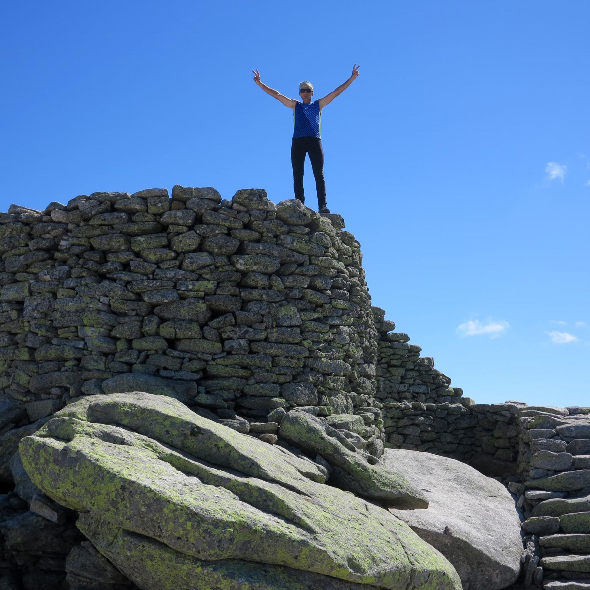
Altitude 2,032 m. The ascent is from the Domingo Fernando platform. This route is of medium-high difficulty, approximately 13 km long and has a 1,000 m elevation gain. Well signposted. The trail dilutes at some points, but you can't get lost.
0
0

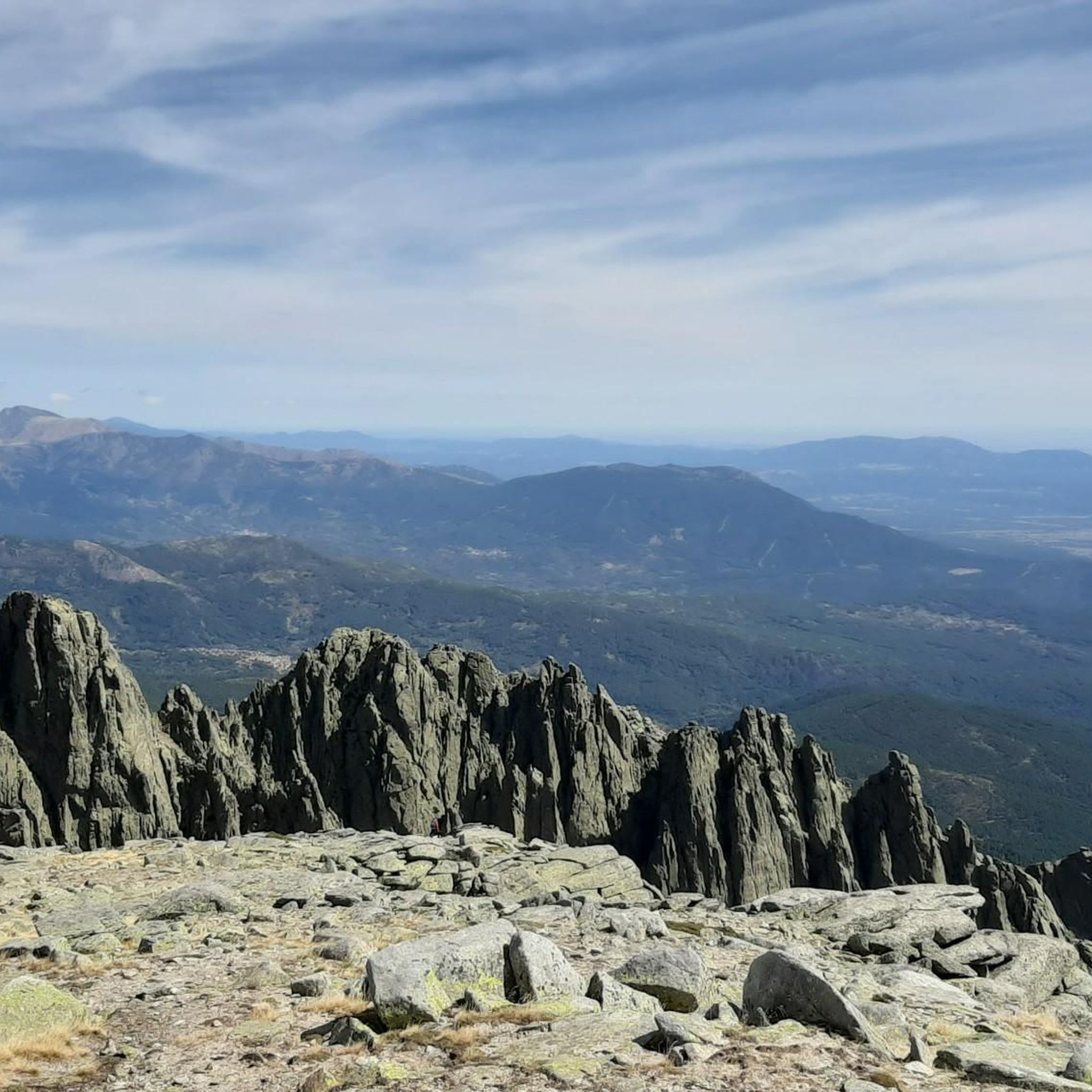
The hiking route to Peón adapts to the contours of the mountain as elevation is gained. Incredible sense of awe at this mountain range and its views.
0
0
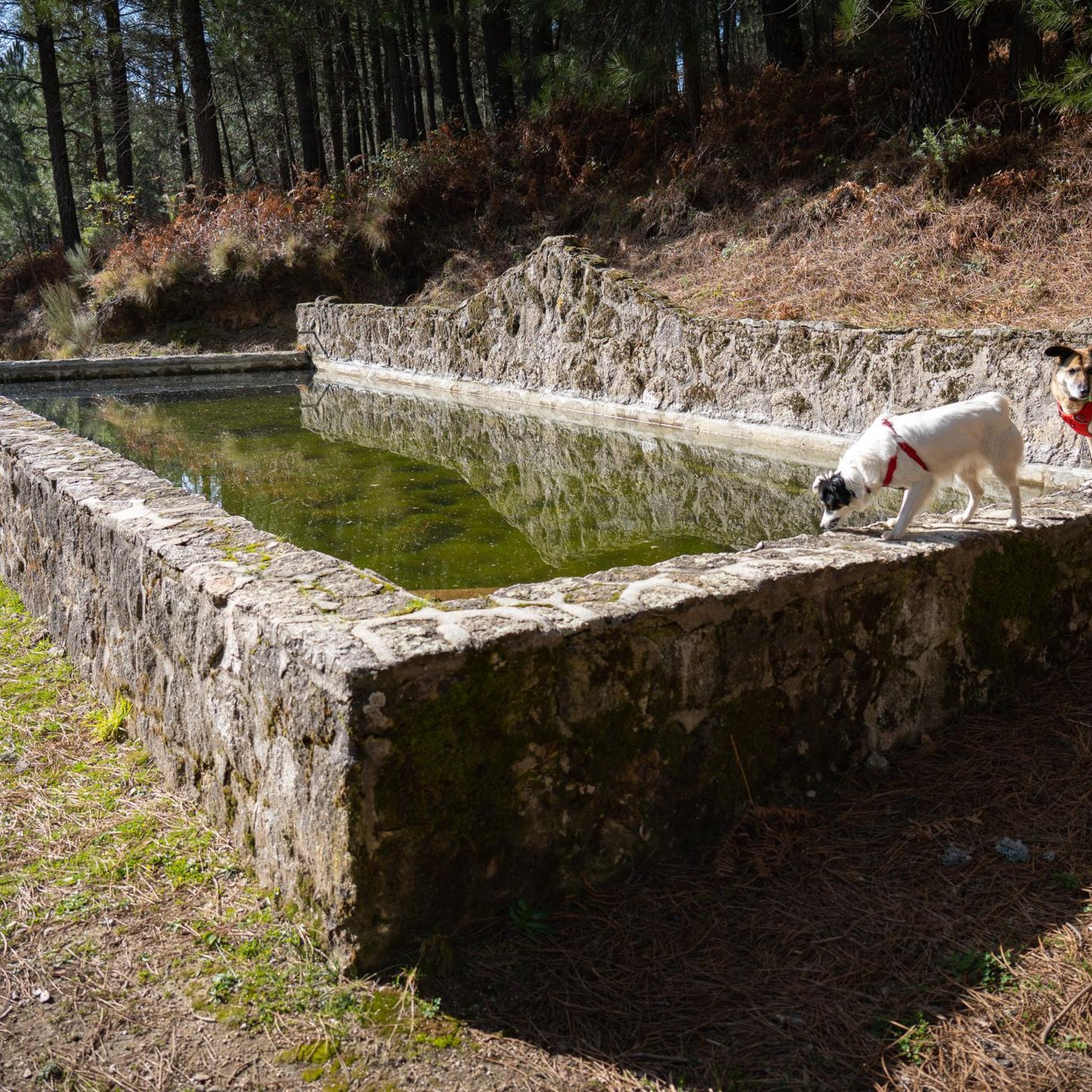
Dip your feet in the cold water and enjoy the panoramic views of Puerto del Peón above you. One of the peaks of the Sierra de Gredos national park. Be sure to check the weather conditions before embarking on this hike.
1
0
Surrounded by tall pine trees, the smell of pine needles and cones is incredible along the hiking route to Los Galayos Peak from El Hornillo. There are some shelters along the trail should you need one.
1
0
At 2,028 meters above sea level, this pass provides the strong and brave with a spectacular panoramic view and a hiking experience in the Sierra de Gredos Regional Park.
1
0

Town located on the southern slope of the Gredos mountain range. It received the title of town in 1759, the jurisdiction roll that accredits its title can be seen next to the river, on the Puente Nuevo (moved from its original site next to the hermitage).
1
0

Beautiful section of single track through the mountains of Bajo Tiétar. 1km away is the Domingo Fernando Shelter next to a pool that will be great for hot summer days.
1
0
Frequently Asked Questions
How many hiking trails are available around El Hornillo?
El Hornillo offers a wide variety of hiking opportunities, with over 130 routes recorded on komoot. These trails span different difficulty levels, ensuring there's something for every hiker, from easy strolls to challenging mountain ascents.
Are there any easy or beginner-friendly hikes in El Hornillo?
Yes, El Hornillo features 28 easy trails suitable for beginners or those looking for a more relaxed walk. These routes often wind through picturesque pine woods and offer gentle terrain, allowing you to enjoy the natural beauty without significant challenge.
What kind of natural features and landscapes can I expect to see while hiking in El Hornillo?
The region around El Hornillo boasts diverse landscapes. You can expect to encounter dense pine woods, mountain crests, and deep ravines. Depending on the specific location, you might see varied flora including juniper, Spanish fir, ash trees, chestnut trees, and even climbing ivy along riverbanks. Some areas, like those in Gran Canaria, offer views of geological formations such as the Risco Caído caves, while others in the Sierra Nevada provide panoramic views of prominent peaks like Mulhacén.
Are there any circular hiking routes in El Hornillo?
Yes, many routes in El Hornillo are circular, allowing you to experience a broad spectrum of the local environment. An example is the Path Los Galayos from El Hornillo - round trip, which is a moderate 5.9-mile (9.4 km) path offering views of the impressive Los Galayos rock formations.
What are some notable landmarks or points of interest along the trails?
Hikers can discover several interesting points of interest. You might come across natural monuments like Morezón Peak or the Tormes River. There are also shelters and huts such as the Elola Refuge – Laguna Grande de Gredos, which can serve as resting points with magnificent views.
Are there any amenities like refugios or cafes near the hiking trails?
Yes, in some areas, you'll find refugios that offer a place to rest and refuel. For instance, the 'Refugio El Hornillo' in certain locations provides drinks and local delicacies, often with stunning views. You can find more information about specific huts and cabins in the area by exploring the Huts and Cabins around El Hornillo guide.
What do other hikers say about the trails in El Hornillo?
The hiking routes in El Hornillo are highly regarded by the komoot community, holding an average rating of 4.7 stars from over 500 reviews. More than 4000 hikers have explored the varied terrain, often praising the diverse landscapes, from challenging mountain ascents to serene pine woods.
Are there any challenging hikes for experienced hikers?
Absolutely. El Hornillo offers 35 difficult trails for experienced hikers seeking a challenge. A notable example is the Puerto del Peón by the Senda del Puerto del Peón (PR-AV 18) from El Hornillo, an 8.6-mile (13.8 km) route with significant elevation gain in the Gredos Regional Park.
What is the best time of year to go hiking in El Hornillo?
The best time to hike in El Hornillo largely depends on the specific location and your preferred scenery. Spring and autumn are particularly vibrant, with riverbanks adorned with climbing ivy and ferns. Autumn offers stunning colors from ash, chestnut, and maple trees, while spring brings out diverse plant life like peonies. Some areas also offer impressive mid-mountain trails suitable for high-mountain expeditions during warmer months.
Can I find trails that lead to impressive viewpoints?
Many routes in El Hornillo are designed to showcase breathtaking vistas. Trails often feature stunning viewpoints overlooking ravines, dams, and expansive mountain ranges. For instance, the Sierra Nevada region offers spectacular panoramic views of prominent peaks like Alcazaba and Mulhacén.
Are there any trails suitable for families with children?
While the guide highlights a range of difficulties, the 28 easy trails are generally suitable for families. These routes tend to be shorter and have less elevation gain, providing a pleasant outdoor experience for all ages. Look for paths that are well-maintained and avoid steep or rocky sections.
Is it possible to hike near El Hornillo using public transport?
While specific public transport options vary by the exact location of El Hornillo you are visiting, many hiking areas in Spain are accessible via local bus services or regional trains. It's advisable to check local transport schedules for the specific starting point of your chosen trail, especially for routes in more remote mountainous regions.
Most popular routes around El Hornillo
Most popular attractions around El Hornillo

Get inspired with the komoot mobile app


Explore more
Browse the best Hikes in other regions.
