The best walks and hikes around Sant Esteve De Palautordera
4.5
(949)
6,938
hikers
265
hikes
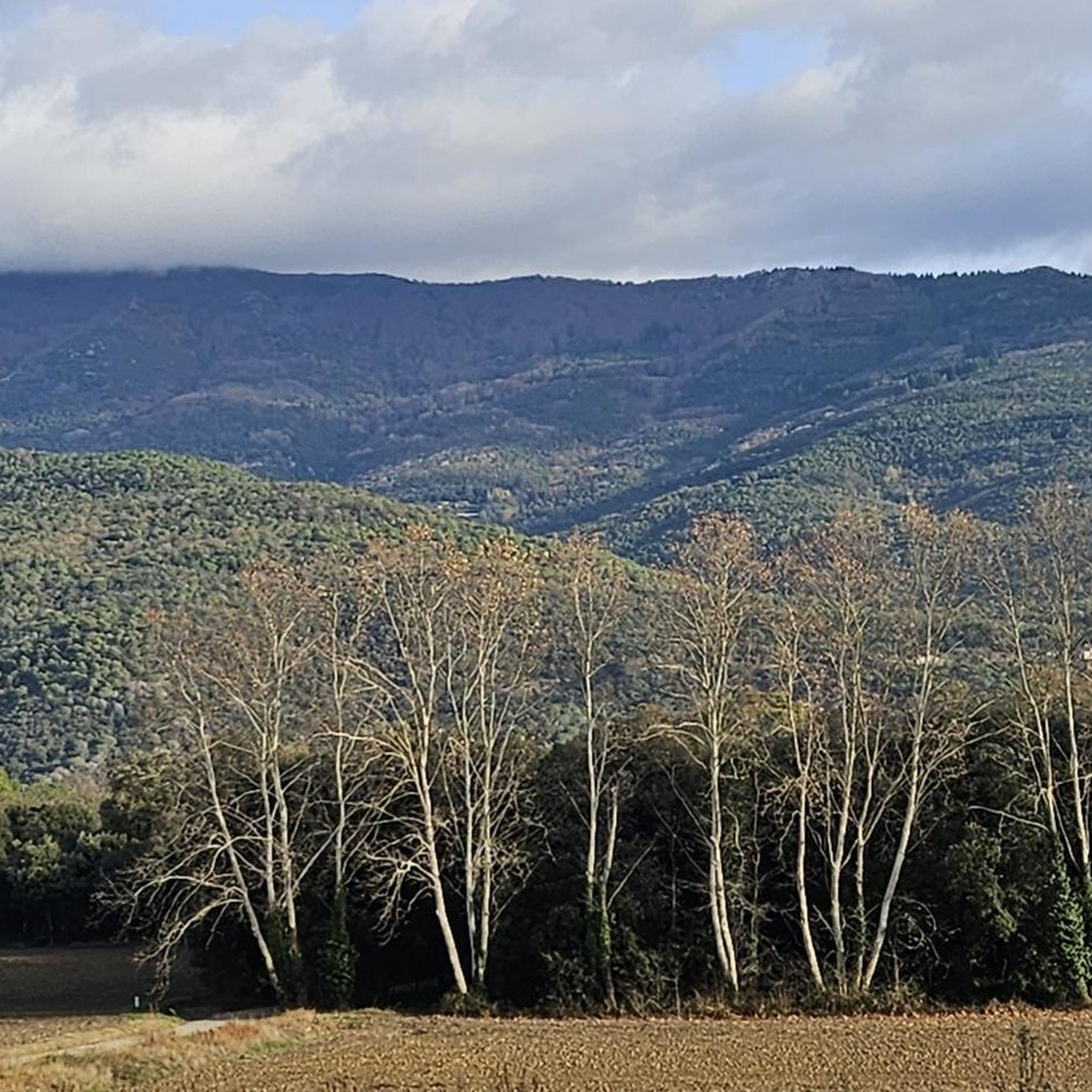
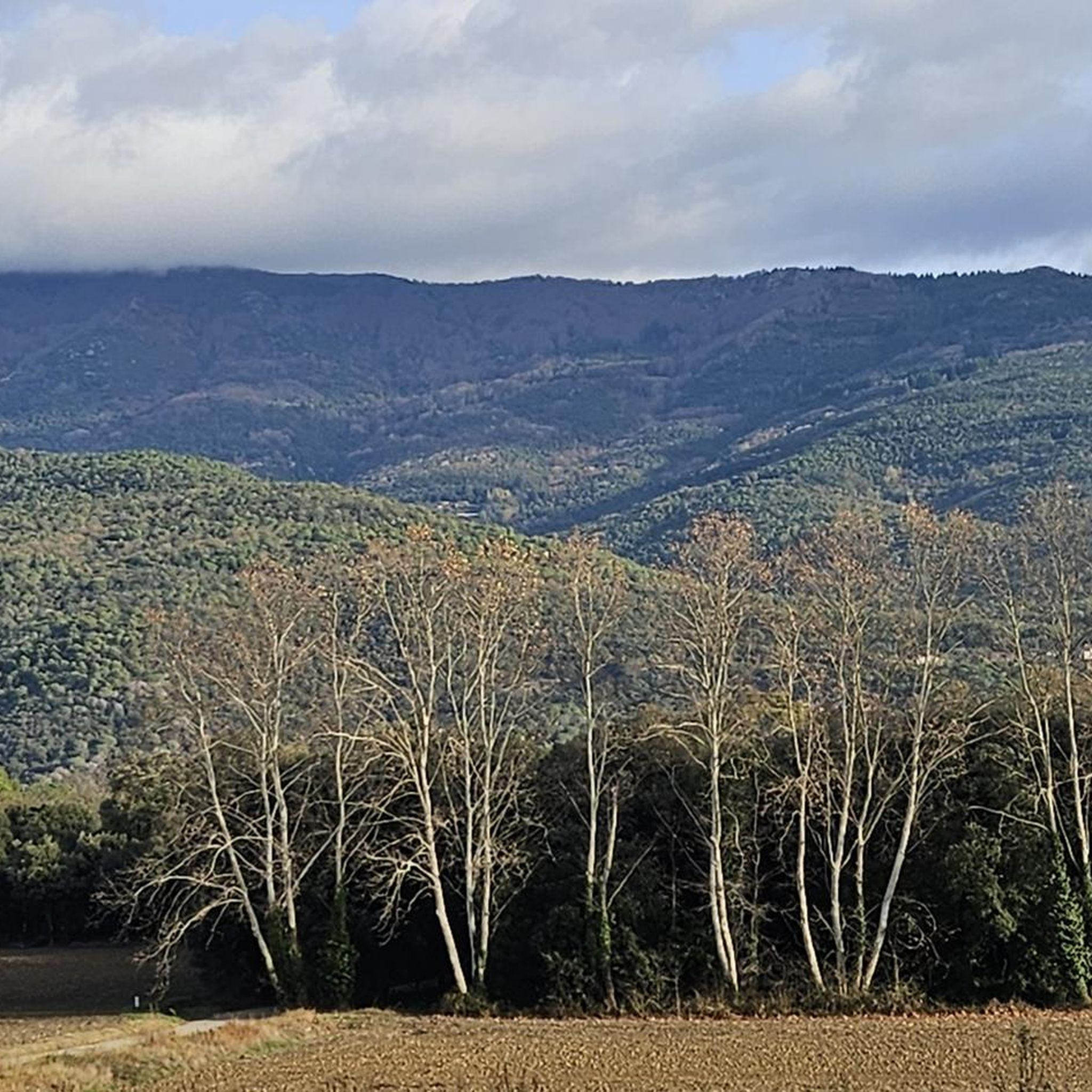
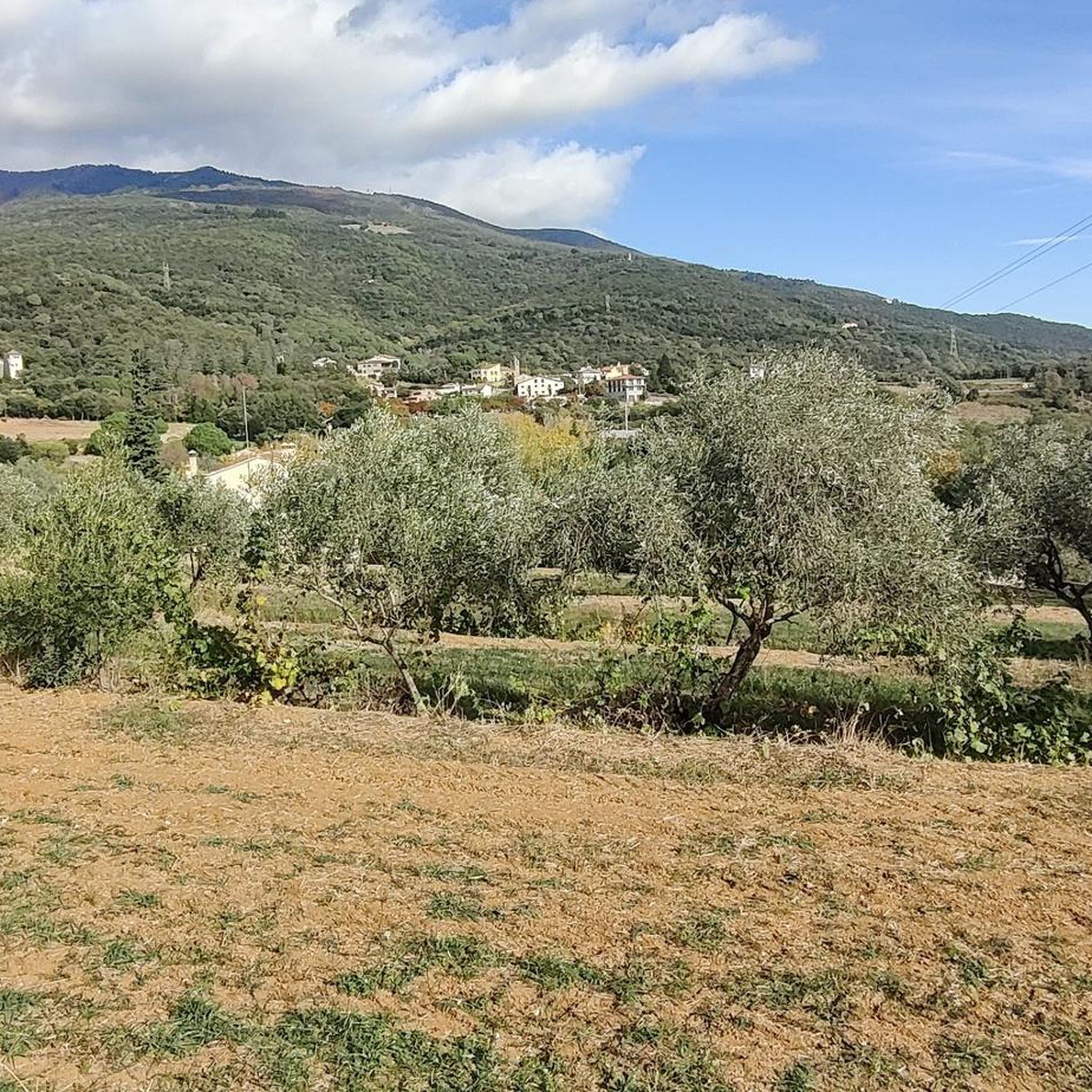
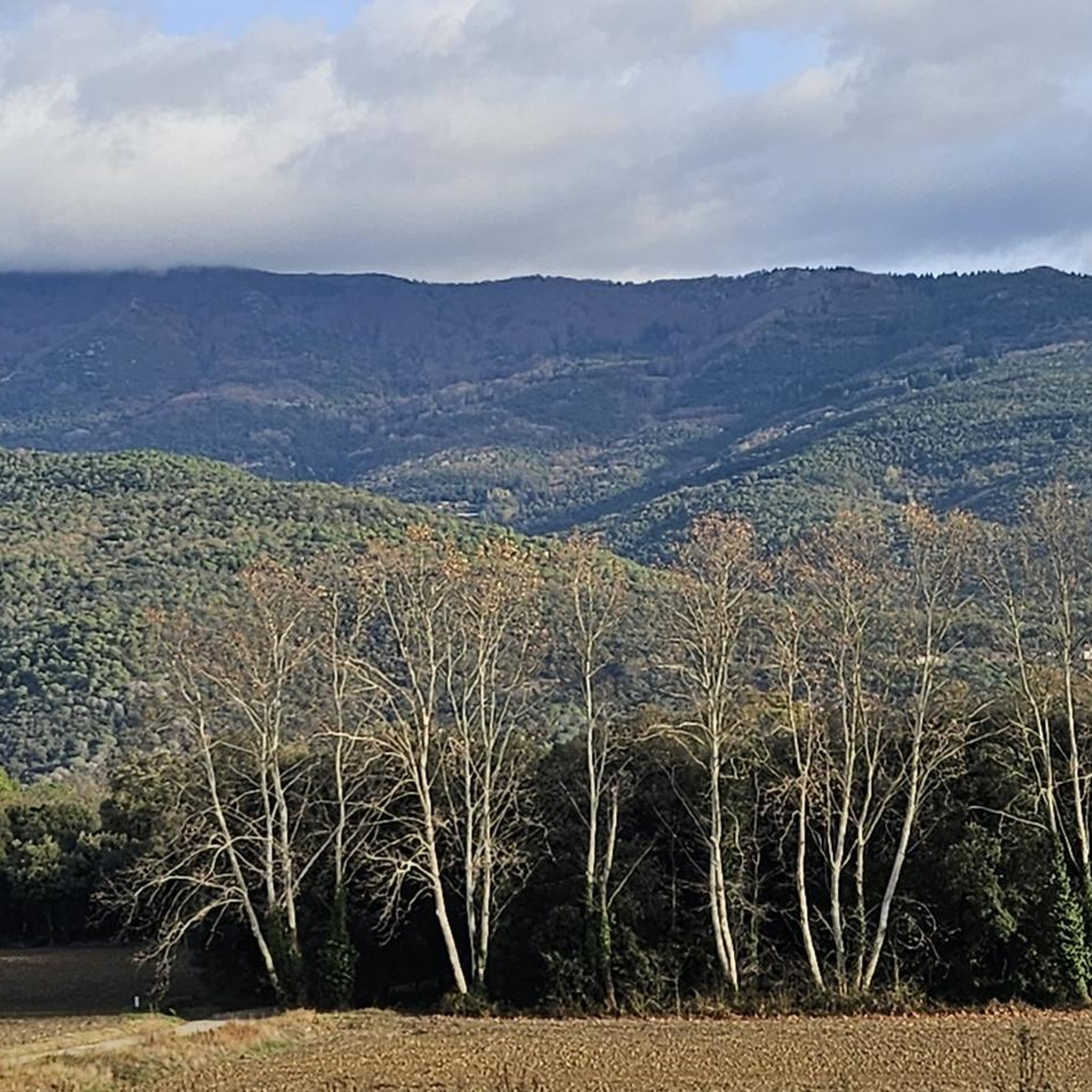
Hiking around Sant Esteve De Palautordera offers access to the Montseny Natural Park, a UNESCO Biosphere Reserve known for its diverse landscapes. The region features pronounced reliefs, including the Montseny massif, and is characterized by abundant water resources such as the Tordera River and various streams. Hikers can experience a range of ecosystems, from oak and pine forests to open fields and riverine corridors.
Best hiking trails around Sant Esteve De Palautordera
- The most popular hiking route is Beautiful View loop from Santa Maria de Palautordera, a 5.1 miles (8.2 km) trail that takes 2 hours 12 minutes to complete, offering views of the surrounding landscape.
- Another top favourite among local hikers is Ermita de Mosqueroles – Castell de Montclús loop from Santa Maria de Palautordera, a moderate 6.0 miles (9.6 km) path that winds through varied terrain including historical landmarks.
- Local hikers also love the Hermitage of Sant Elies – Cave Hill loop from els Refugis del Montseny, a 9.5 miles (15.4 km) trail leading through mountainous terrain with significant elevation gain, often completed in about 5 hours 56 minutes.
- Hiking around Sant Esteve De Palautordera is defined by the Montseny Natural Park, the Tordera River, and diverse oak and pine forests. The network offers options for different ability levels.
- The routes in Sant Esteve De Palautordera are highly rated by the komoot community with an average score of 4.4 stars from over 1000 reviews. More than 8000 hikers have used komoot to explore Sant Esteve De Palautordera's varied terrain.
Last updated: May 24, 2026
4.1
(9)
28
hikers
8.22km
02:13
100m
100m
Moderate hike. Good fitness required. Easily-accessible paths. Suitable for all skill levels.
9
hikers
Moderate hike. Good fitness required. Easily-accessible paths. Suitable for all skill levels.

Sign up for free
5.0
(1)
48
hikers
15.4km
05:56
950m
950m
Hard hike. Very good fitness required. Mostly accessible paths. Sure-footedness required.
5.0
(2)
8
hikers
21.4km
08:51
1,440m
1,440m
Hard hike. Very good fitness required. Mostly accessible paths. Sure-footedness required.
5.0
(1)
4
hikers
Moderate hike. Good fitness required. Easily-accessible paths. Suitable for all skill levels.
Get access to more routes and recommendations from other explorers.
Sign up for free
Already have an account?
Our route recommendations are based on thousands of hikes, rides, and runs completed by other people on komoot.
Start today with a free account
Your next adventure awaits.
Login or Signup

Tips from the Community

A modest peak in Pla de la Calma, used by shepherds as a natural lookout point: from there they could see when the fogs descended from Matagalls, and the whistling of the wind in its small hollow signaled impending bad weather. The slate of the hill bears marks of use by old charcoal burners and muleteers, indicating that it was more of a practical crossing point than a refuge. A simple place, yet rich in historical significance.
1
0
A small, medieval church situated on a plateau with fine views over the forest and the old shepherds' paths. Beyond its usual features, it has a little-known detail: for years it hosted brief retreats for local hermits, and small marks remain on the rock where they placed oil lamps on cold nights. The access is short and straightforward, and the place retains that secluded tranquility that has always served as a place to pause for a moment before continuing on one's way.
2
0


The trails I passed are a bit covered
0
0

A good place to rest for a while and eat a little while sitting comfortably.
0
0

Good views of Matagalls, Turó de l'Home and the Vallès plain.
0
0

The Turó de l'Home has an altitude of 1712m and is the highest peak of the Montseny massif. There are several paths that get there, some easier, others more vertical and technical. Very nice views at 360º and up to the sea. Nearby there are two other very beautiful peaks: Les Agudes and Turó Gros
2
0

The Ministry of Defense and the Provincial Council of Barcelona signed an agreement, on November 26, 1998, which entails the transfer to this institution of the use of a significant part of the facilities and buildings of the military base of Puig Sesolles, with the ministry retaining ownership. This has allowed the park's managing body to carry out a restoration program for this sector, which has entailed the demolition and removal of most of the facilities and buildings of the old military compound and, for both, the restoration of the landscape of Puig Sesolles, as well as the concentration in this place of the facilities currently located on the hill of Home, in better technical conditions and with less impact on the landscape, in order to address, also, the restoration and naturalization of the highest peak of Montseny.
0
0
Frequently Asked Questions
How many hiking trails are available around Sant Esteve De Palautordera?
There are over 260 hiking routes around Sant Esteve De Palautordera, catering to various skill levels. This includes 69 easy routes, 149 moderate routes, and 48 difficult trails, ensuring options for everyone from casual walkers to experienced trekkers.
What kind of terrain and landscapes can I expect on hikes in this region?
Hikes around Sant Esteve De Palautordera offer a diverse range of landscapes, from Mediterranean to Central European environments, thanks to its location at the foot of the Montseny Natural Park. You'll find pronounced reliefs, including the Montseny massif, and abundant water features like the Tordera River and various streams. Trails often pass through oak and pine forests, open fields, and lush riverine corridors.
Are there any easy, family-friendly walks in Sant Esteve De Palautordera?
Yes, the region offers several easy routes suitable for families. A notable option is the 'Fonts de Sant Esteve' route, a relatively easy 4.3 km circular walk near the Montseny Natural Park. This trail allows you to cross the Tordera River, observe riverine vegetation, and visit historical fountains like Sant Antoni and Cinc Raigs.
What historical landmarks or points of interest can I see while hiking?
Many trails incorporate historical elements. You can encounter remains of medieval castles such as Castell de Montclús, which is part of the Ermita de Mosqueroles – Castell de Montclús loop from Santa Maria de Palautordera. Another example is Castell de Fluvià, which houses a fully preserved Romanesque chapel of Sant Cebrià. The village itself also retains a rural charm with stone houses and a medieval church.
Are there any circular hiking routes available?
Yes, many routes in the area are circular, offering varied scenery without retracing your steps. Examples include the Beautiful View loop from Santa Maria de Palautordera, a moderate 8.2 km trail, and the more challenging Turó de l'Home loop from Sant Esteve de Palautordera, which is 21.5 km with significant elevation gain.
What do other hikers say about the trails in Sant Esteve De Palautordera?
The hiking routes in Sant Esteve De Palautordera are highly rated by the komoot community, with an average score of 4.4 stars from over 1000 reviews. Hikers often praise the diverse landscapes, the well-preserved natural environment, and the variety of trails suitable for different fitness levels.
Are there any trails that lead to viewpoints or offer panoramic views?
Given the pronounced reliefs of the Montseny massif, many trails offer elevated views. For instance, the Beautiful View loop from Santa Maria de Palautordera is specifically named for its scenic vistas. More challenging routes, like those ascending towards Turó de l'Home, also provide stunning panoramic views of the surrounding region.
Can I find trails with water features like rivers or streams?
Absolutely. The area is known for its hydrological richness, with the Tordera River, Reguissol stream, and Vallmanya stream. Many trails follow these water bodies, often through well-preserved gallery forests. The 'Ruta del Reguissol a la Tordera' is an excursion specifically designed to immerse you in these riverine environments.
What is the best time of year to go hiking in Sant Esteve De Palautordera?
Sant Esteve De Palautordera is enjoyable for hiking throughout much of the year. Spring and autumn offer pleasant temperatures and vibrant natural colors. Summer can be warm, but the shaded riverine forests and higher elevations in Montseny Natural Park provide cooler options. Winter hiking is also possible, though some higher trails might require appropriate gear.
Are there any challenging hikes for experienced trekkers?
Yes, for experienced trekkers, the region offers demanding routes with significant elevation gains. The Hermitage of Sant Elies – Cave Hill loop from els Refugis del Montseny is a difficult 15.4 km trail with nearly 950 meters of ascent. Even more challenging is the Turó de l'Home loop from Sant Esteve de Palautordera, a 21.5 km route with over 1,400 meters of elevation gain.
What kind of wildlife might I encounter on the trails?
As part of the Montseny Natural Park, a UNESCO Biosphere Reserve, the area boasts diverse flora and fauna. The varied ecosystems, from Mediterranean to Central European, support a wide array of species. While specific sightings are never guaranteed, you might spot various birds, small mammals, and unique relictual species in the different habitats.
Are there any notable natural features beyond the Montseny massif?
Beyond the Montseny massif, the region is home to monumental trees, such as the centennial hackberry trees of Can Moix and the 'Alzina Dreta de Can Mainou'. These ancient trees add character to the landscape and can be found along various trails, offering unique natural points of interest.
Most popular routes around Sant Esteve De Palautordera
Most popular attractions around Sant Esteve De Palautordera

Get inspired with the komoot mobile app


Explore more
Browse the best Hikes in other regions.
