The best walks and hikes around Miralcamp
4.3
(67)
416
hikers
54
hikes
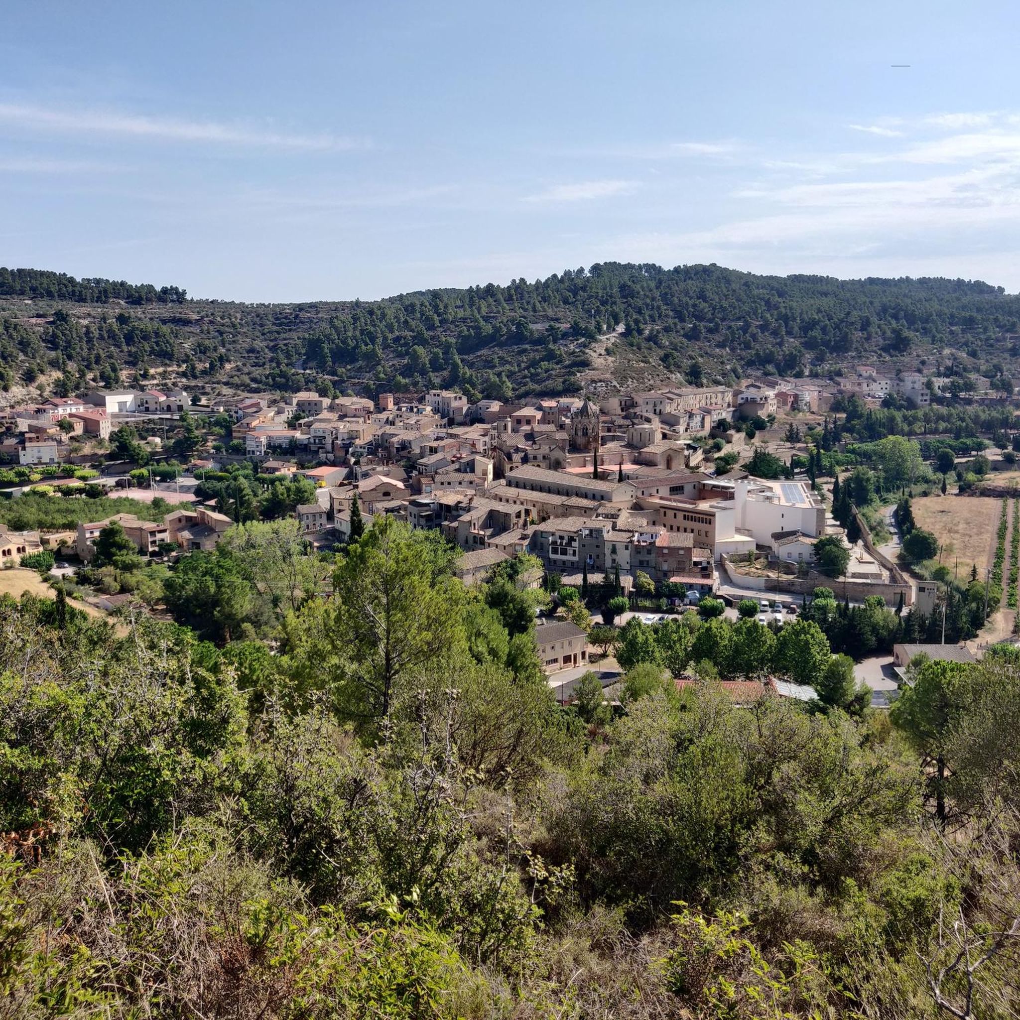
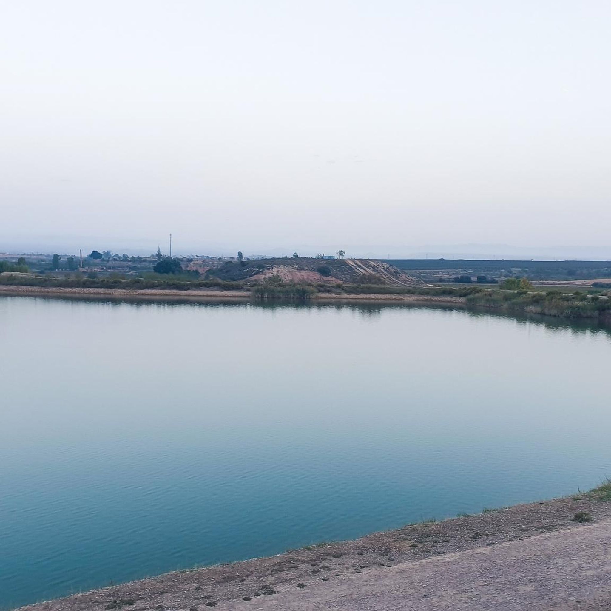
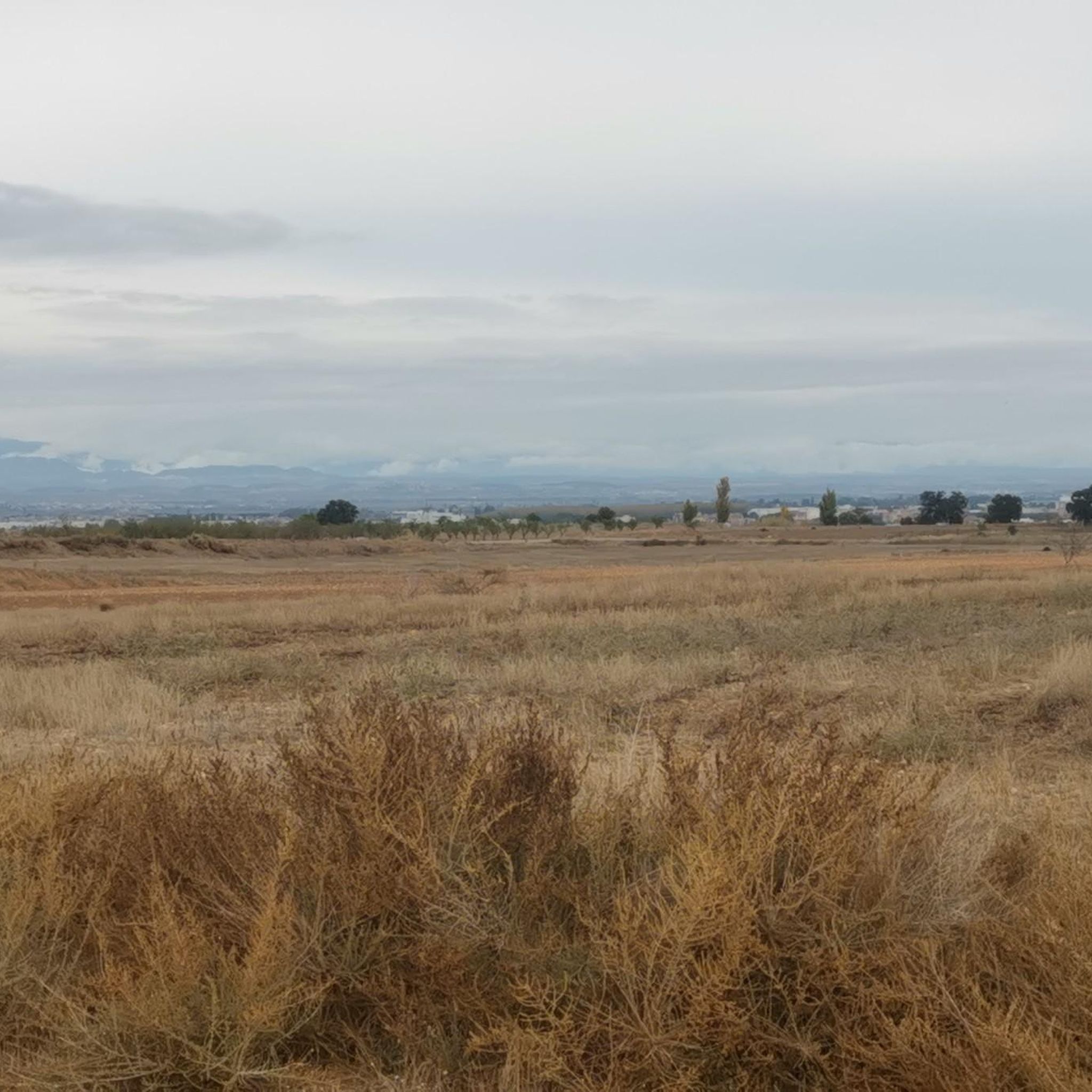
Hiking trails around Miralcamp traverse a landscape primarily defined by agricultural fields and the presence of the Urgell canal, which irrigates the surrounding plains. The terrain is generally flat, with minimal elevation changes, making it suitable for accessible walks. The region offers paths that follow water features and rural roads, providing views of cultivated land.
Best hiking trails around Miralcamp
- The most popular hiking route is Salto del Duran -- Pla d'Urgell, a 5.2 miles (8.4 km) trail that…
Last updated: October 5, 2026
4.0
(1)
27
hikers
8.36km
02:08
30m
30m
Moderate hike. Good fitness required. Easily-accessible paths. Suitable for all skill levels.
4.0
(2)
27
hikers
8.31km
02:07
20m
20m
Moderate hike. Good fitness required. Easily-accessible paths. Suitable for all skill levels.

7
hikers
Moderate hike. Good fitness required. Easily-accessible paths. Suitable for all skill levels.
7
hikers
8.92km
02:22
90m
90m
Moderate hike. Good fitness required. Easily-accessible paths. Suitable for all skill levels.
4
hikers
5.16km
01:19
10m
10m
Easy hike. Great for any fitness level. Easily-accessible paths. Suitable for all skill levels.
Get access to more routes and recommendations from other explorers.
Already have an account?
Our route recommendations are based on thousands of hikes, rides, and runs completed by other people on komoot.
Start today with a free account
Your next adventure awaits.

Tips from the Community

Side path that follows the third ditch of the Canal d'Urgell.
0
0
In the third ditch of the Canal d'Urgell there is this jump which serves to generate a difference in height and force the water. The Canal d'Urgell gives life to the region and has transformed the current landscape.
0
0
Tossal de la Fita Alta, in the Pla d'Urgell, surrounded by fruit fields and with a very good panoramic view of the entire region.
0
0

The Salto del Durán is a popular hiking destination in the Pla d'Urgell region. It is known for its scenic beauty and offers an intermediate-level hiking trail that covers approximately 8.30 kilometers and takes about two hours to complete.
4
0
Canal d'Urgell waterfall, hydraulic work that fills the region with life.
1
0

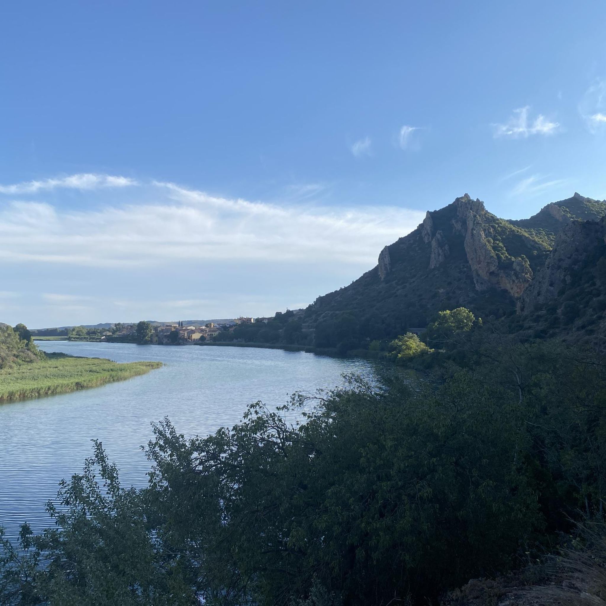
The Sierra de Mollerussa is a spectacular place with good steep climbs and trails everywhere
0
0
It is the beginning of the exit to go up to the dry land of La Segarra
0
0
It is better to go through the path below since the roots of the trees are very bulging
0
0
Frequently Asked Questions
How many hiking trails are available around Miralcamp?
There are over 35 hiking trails around Miralcamp, offering a variety of options for exploring the agricultural plains and canal-side paths of the region. Most routes are either easy or moderate in difficulty.
Are there any easy hiking routes suitable for beginners or families in Miralcamp?
Yes, Miralcamp offers 17 easy hiking routes, perfect for beginners or families. These trails generally feature flat terrain and follow rural roads or the Urgell canal. An example is the Third Canal of Urgell Path – Second Bridge loop from Mollerussa, which is 7.8 km long and takes about 2 hours to complete.
Can I find circular walking routes in Miralcamp?
Many of the trails around Miralcamp are designed as loops, providing convenient circular walks. For instance, the Fita Alta Summit loop from Miralcamp is a moderate 8.9 km route that offers the highest elevation gain in the immediate area, while the Hiking loop from Mollerussa is an easier 5.1 km option.
Are there any waterfalls to see along the hiking trails near Miralcamp?
Yes, you can discover waterfalls while hiking near Miralcamp. The Second Bridge – Durán Waterfall loop from Mollerussa is a moderate 13 km route that will lead you to the Salt del Duran Waterfall. Another notable waterfall in the area is the Waterfall of the Second Machine.
What kind of natural attractions or landmarks can I explore around Miralcamp?
Beyond the trails, Miralcamp's surroundings offer several natural attractions. You can visit the Ivars and Vila-sana Pond, a significant wetland area, or explore the Sierra Park. The region is also characterized by its irrigation canals, such as the Third Canal of Urgell Path, which provides unique scenery.
What do other hikers enjoy most about the trails in Miralcamp?
The hiking trails in Miralcamp are highly rated by the komoot community, with an average score of 4.25 stars from around 40 reviews. Hikers often praise the peaceful atmosphere, the scenic paths alongside the Urgell canal, and the accessibility of the routes through the agricultural landscape.
Are there any longer distance hiking options available near Miralcamp?
While Miralcamp itself is known for shorter, accessible walks, the broader region of Catalonia offers extensive long-distance hiking opportunities. For example, the Pyrenees and the Costa Brava feature sections of the GR 92, the Mediterranean Trail, which provides challenging multi-day treks. Within Miralcamp, the longest route listed is the Second Bridge – Durán Waterfall loop from Mollerussa, at nearly 13 km.
What is the terrain like for hiking in Miralcamp?
The terrain around Miralcamp is predominantly flat, characterized by agricultural fields and irrigation canals. Elevation changes are minimal, making most routes suitable for easy to moderate ability levels. Paths often follow rural roads or canal banks, providing open views of the cultivated landscape.
Is Miralcamp a good destination for advanced hikers seeking challenging treks?
Miralcamp's trails are generally easy to moderate, with no routes classified as difficult. The landscape is mostly flat agricultural land. For advanced hikers seeking challenging treks, the broader Catalan region, particularly the Pyrenees with its high-mountain trails and peaks like Pica d'Estats, or the dramatic Mont-rebei Gorge, would offer more suitable options.
Are there any specific routes that highlight the Urgell canal system?
Yes, the Urgell canal is a defining feature of the Miralcamp landscape, and many routes follow its course. The Salto del Duran -- Pla d'Urgell trail, for example, prominently features paths alongside the canal. Another option is the Third Canal of Urgell Path – Second Bridge loop from Mollerussa, which leads through irrigated fields fed by the canal.
What is the best time of year to go hiking in Miralcamp?
Given the agricultural nature of the landscape and generally flat terrain, hiking in Miralcamp is pleasant during spring and autumn when temperatures are mild. Summer can be hot, but the canal-side paths might offer some relief. Winter hiking is also possible, though it's advisable to check local weather conditions.
Most popular routes around Miralcamp
Most popular attractions around Miralcamp

Get inspired with the komoot mobile app


Explore more
Browse the best Hikes in other regions.
