The best walks and hikes around Bayubas De Abajo
5.0
(1)
11
hikers
4
hikes
Hiking around Bayubas De Abajo offers access to a diverse natural landscape within the province of Soria. The region is characterized by extensive pine forests, alongside areas of holm oaks and junipers, and is traversed by the Duero and Bayubas rivers. This area is part of the Natura 2000 network, highlighting its ecological significance and providing varied terrain for exploration.
Best hiking trails around Bayubas De Abajo
- The most popular hiking route is Gormaz Castle Trail, an 8.2 miles…
Last updated: May 16, 2026
2
hikers
13.3km
03:36
180m
180m
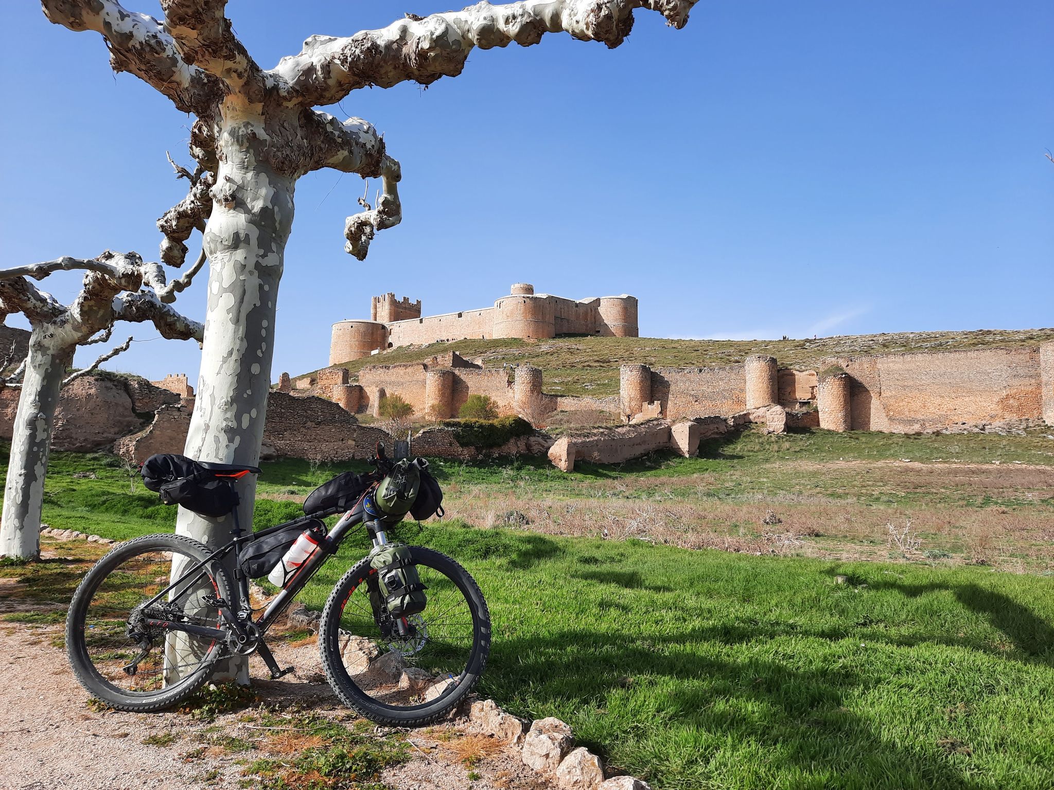
Hike a moderate 8.2-mile (13.3 km) circular route from Gormaz, exploring the historic Castillo de Gormaz and Ermita de San Miguel.
Moderate hike. Good fitness required. Easily-accessible paths. Suitable for all skill levels.

Sign up for free
3.30km
00:56
70m
70m
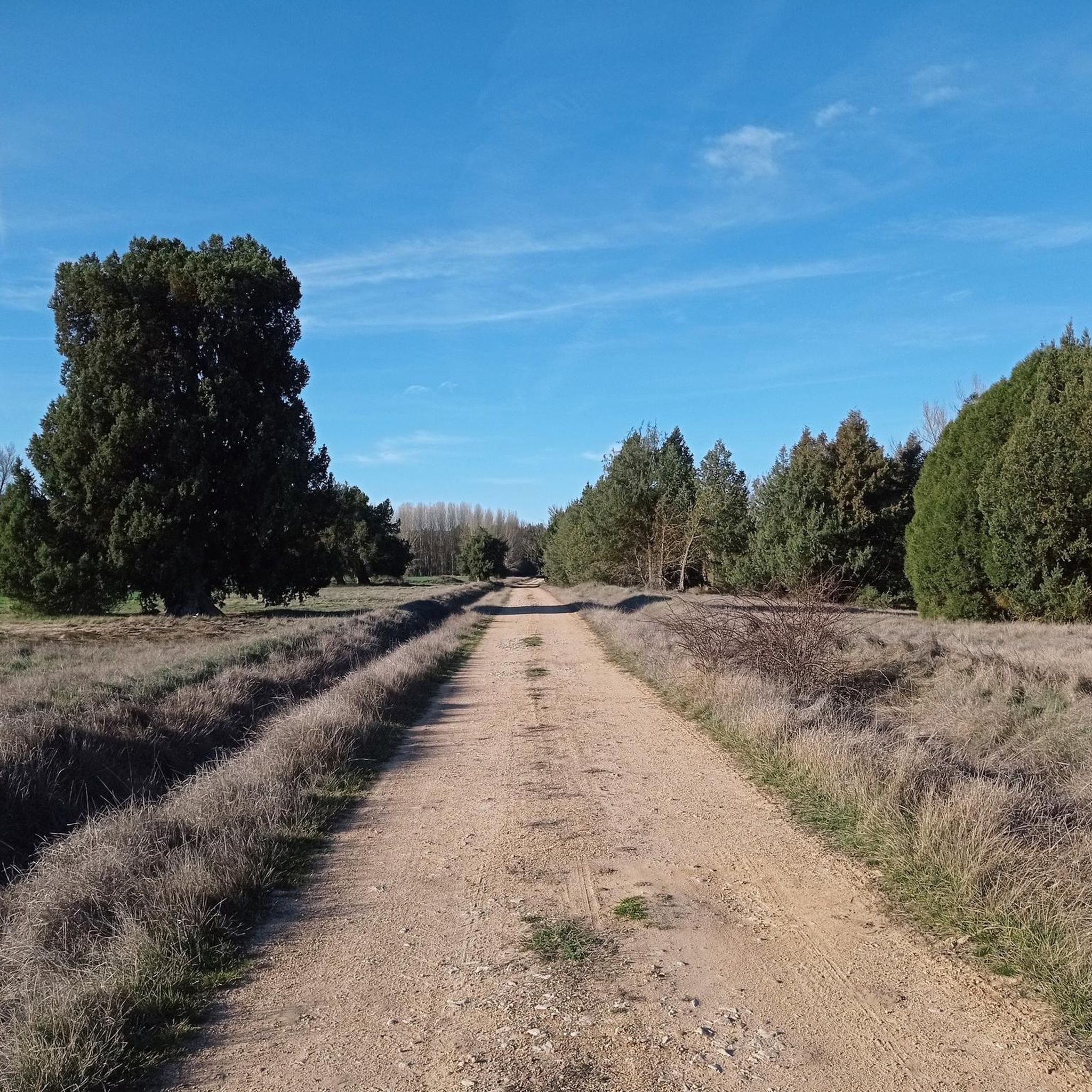
Easy hike. Great for any fitness level. Easily-accessible paths. Suitable for all skill levels.
5.0
(1)
7
hikers
5.06km
01:20
50m
50m
Easy hike. Great for any fitness level. Easily-accessible paths. Suitable for all skill levels.
3
hikers
Moderate hike. Good fitness required. Easily-accessible paths. Suitable for all skill levels.
Our route recommendations are based on thousands of hikes, rides, and runs completed by other people on komoot.
Start today with a free account
Your next adventure awaits.
Login or Signup

Other adventures around Bayubas De Abajo

Tips from the Community

Ideal for routes that combine nature and heritage with great panoramic views from the summit. You can combine your visit with the Andaluz Castle, the Church of San Miguel, and other historic sites in the area.
3
0
The Hermitage of San Baudelio, located in Casillas de Berlanga, within the municipality of Caltojar (Soria), is one of the most unique gems of Mozarabic and pre-Romanesque art in Spain. It is believed to have been a retreat for a hermit, with an adjoining cave still accessible from the interior.
5
0
This impressive castle has a rich history dating back to the 15th and 16th centuries. Initially, in the 10th and 11th centuries, there was a Muslim fortress on the site. After the Castilian conquest in the 12th century, it was expanded with a walled outer ring. Between 1460 and 1480, Luis Tovar and María de Guzmán ordered the construction of the stately castle. In 1512, the design and construction of an artillery fort for military purposes began. The castle features a blend of medieval and Renaissance elements, including a keep and a palace within the walls.
6
0

Nice area for hiking and mountain biking trails
0
0
Nice area for hiking and mountain biking trails
0
0

Gormaz Castle is one of the most incredible places you will see in these parts. This caliphal fortress, built in the second half of the 10th century, constituted the border between Al Andalus and Castile in the Middle Ages. The famous Cid was warden of the castle, which became the largest defensive construction of the Late Middle Ages in Europe.
1
0

The hermitage of San Baudelio is considered the "Sistine Chapel" of Mozarabic art. Despite the looting to which it was subjected in the 1920s, the artistic richness of its frescoes and its interior distribution continues to move more than a millennium after its construction in Muslim territory.
1
0
The hermitage of San Miguel is a Mozarabic temple that dates from approximately the same period as the caliphal fortress of Gormaz, the 10th and 11th centuries. The building's greatest treasure is its frescoes that tell various stories of Christian life in the turbulent times of the Middle Ages in the Iberian Peninsula.
1
0
Frequently Asked Questions
What types of landscapes can I expect to see while hiking in Bayubas de Abajo?
Bayubas de Abajo is characterized by its extensive pine forests, alongside areas of holm oaks, junipers, and other shrubs. The region is also traversed by the Duero and Bayubas rivers, creating a rich riverine environment. You'll find diverse terrain, from dense woodlands to open fields, offering varied natural beauty.
Are there any easy hiking trails suitable for beginners or families?
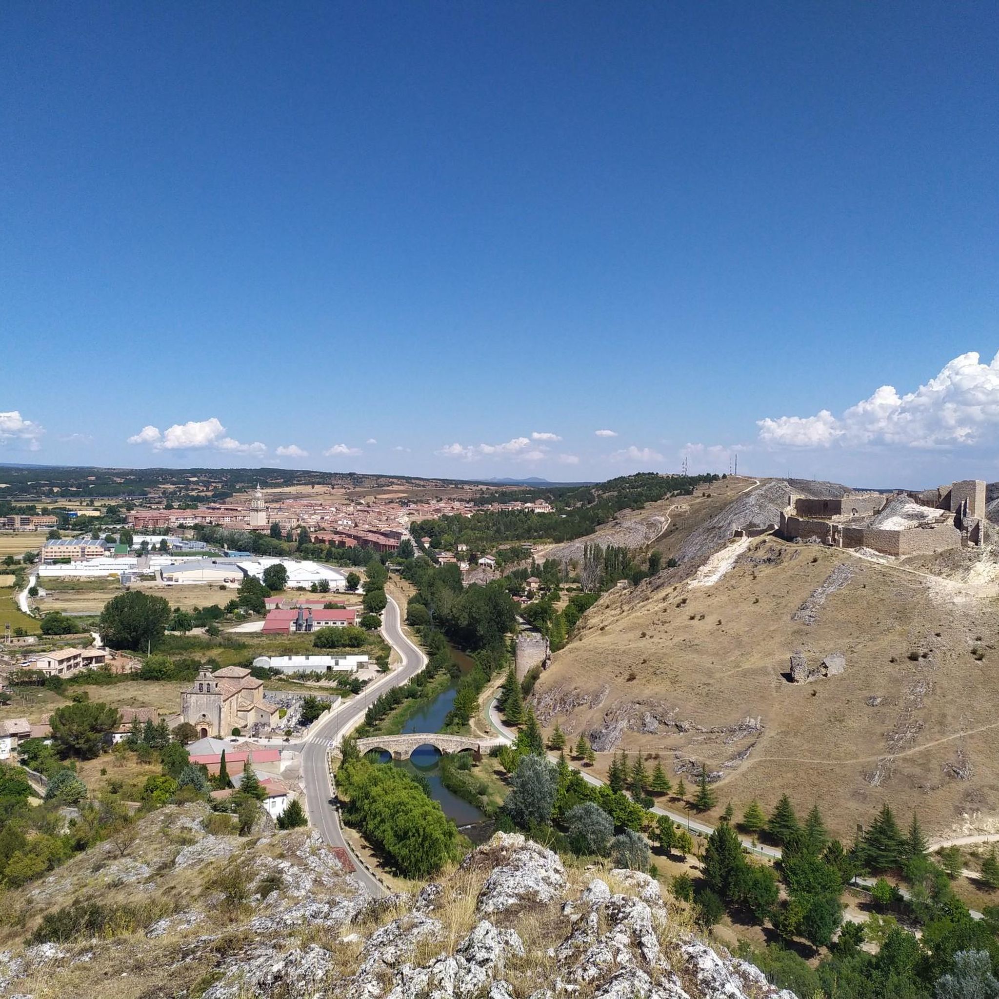
Yes, there are easy options available. For instance, the Ermita de San Baudelio – round trip from Casillas de Berlanga is an easy 3.3 km trail that takes less than an hour to complete. Another accessible option is the Berlanga Castle – Berlanga de Duero loop from Berlanga de Duero, which is 5.1 km long and also considered easy.
What historical landmarks or points of interest can I explore on a hike?
The region is rich in history. You can visit the impressive Gormaz Castle, a significant historical site. The Gormaz Castle Trail specifically leads to this landmark. Another notable site is the Berlanga Castle. The area also features ruins of Muslim-era watchtowers, offering panoramic views and a glimpse into the past.
Are there any circular hiking routes in Bayubas de Abajo?
Yes, several routes offer a circular experience. The Mirador Portillo de Andaluz y Refugio Palomar Risco – circular desde Andaluz is a moderate 12.6 km loop providing panoramic vistas. Another option is the Hermitage of San Miguel de Gormaz – Gormaz Castle loop from Quintanas de Gormaz, a moderate 9.7 km circular trail.
What is the best time of year to go hiking in this region?
The region's diverse forests and riverine environments make it appealing throughout much of the year. Spring and autumn generally offer pleasant temperatures and vibrant scenery, with autumn being particularly popular for mushroom enthusiasts due to the 'Ruta Micológica'. Summer can be warm, but the pine forests provide shade. Winter hiking is possible, with views of the snow-capped Sierra de Riaza Nevada from higher points.
What kind of wildlife might I encounter on the trails?
Bayubas de Abajo is known for its rich biodiversity. Hikers might spot wild boars, roe deer, deer, foxes, and various bird species such as eagles, partridges, and owls. The extensive forests provide a natural habitat for these animals, making it an excellent area for nature observation.
Are there good viewpoints or panoramic spots along the hiking trails?
Absolutely. From the ermita de Santa Águeda, you can enjoy extensive views of the surrounding fields and even the distant snow-capped Sierra de Riaza Nevada. The Taina de la Hoz, near ancient watchtower ruins, also provides beautiful panoramic vistas of other watchtowers and the countryside. The Andaluz Geodetic Vertex (1,027 m) is another notable viewpoint.
What do other hikers say about the trails in Bayubas de Abajo?
The routes in Bayubas de Abajo are highly rated by the komoot community, with an average score of 5.0 stars. Hikers often praise the varied terrain, the tranquility of the pine forests, and the opportunities to explore historical landmarks and enjoy panoramic views.
Are there any picnic areas or places to rest along the routes?
Yes, the region offers several amenities for hikers. Various 'merenderos' (picnic areas) are available within the pine forests, providing ideal spots for rest and enjoying the natural surroundings during your hike.
Is there public transport access to the hiking trailheads in Bayubas de Abajo?
While Bayubas de Abajo is a rural area, public transport options might be limited directly to all trailheads. It's advisable to check local bus schedules for connections to the main village. Many visitors prefer to arrive by car, which offers more flexibility for accessing various starting points.
Where can I find parking near the hiking trails?
Parking is generally available in or near the villages that serve as starting points for the trails, such as Bayubas de Abajo itself or nearby communities like Casillas de Berlanga or Quintanas de Gormaz. Look for designated parking areas or suitable roadside spots, especially near popular trailheads.
Are dogs allowed on the hiking trails in Bayubas de Abajo?
Generally, dogs are welcome on hiking trails in this natural area, especially given its rural character and extensive forests. However, it's always recommended to keep dogs under control, especially in areas with wildlife or near livestock, and to follow local regulations regarding leashes and waste disposal.
Most popular attractions around Bayubas De Abajo

Get inspired with the komoot mobile app


Explore more
Browse the best Hikes in other regions.
