The best road cycling routes around Parco Naturale di Conca Cialancia
4.1
(8)
362
riders
5
rides
Road cycling routes around Parco Naturale di Conca Cialancia are characterized by challenging mountainous terrain within the upper Germanasca Valley. The landscape features dramatic topography with numerous ravines and significant elevation changes, ranging from 1,796 meters to the 2,855-meter Punta Cialancia. This alpine environment includes diverse vegetation, alpine lakes, and passes, offering demanding routes for road cyclists. The area is known for its historic military roads, which provide both paved and unpaved sections for varied cycling experiences.
Best road cycling routes around Parco Naturale di Conca Cialancia
- The most popular road cycling route is Fontana di Perrero – View of Perosa Argentina loop from Rodoretto / Rooudouret, a 21.2 miles (34.2 km) trail that takes 2 hours 1 minute to complete. This moderate route features an elevation gain of over 850 meters.
- Another top favourite among local road cyclists is Colletta di Cumiana – Colle Braida Pass loop from Perosa Argentina, a difficult 69.3 miles (111.6 km) path. This route includes a substantial climb of over 1,670 meters through varied mountain passes.
- Local road cyclists also love the Germanasca Waterfall – Ghigo di Prali loop from Perosa Argentina, a 25.2 miles (40.6 km) trail leading through alpine scenery, often completed in about 2 hours 16 minutes.
- Road cycling around Parco Naturale di Conca Cialancia is defined by challenging mountain passes, alpine lakes, and dramatic valleys. The network offers options for different ability levels, from moderate climbs to difficult, long-distance routes.
- The routes in Parco Naturale di Conca Cialancia are highly rated by the komoot community with an average score of 4.8 stars from over 10 reviews. More than 400 road cyclists have used komoot to explore Parco Naturale di Conca Cialancia's varied terrain.
Last updated: July 29, 2026
57
riders
43.0km
02:35
1,040m
1,040m
Hard road ride. Very good fitness required. Some segments of this route may be unpaved and difficult to ride.
25
riders
40.6km
02:29
900m
900m
Hard road ride. Very good fitness required. Mostly well-paved surfaces and easy to ride.

Sign up for free
4.2
(6)
179
riders
Moderate road ride. Good fitness required. Mostly well-paved surfaces and easy to ride.
4.0
(1)
112
riders
46.2km
02:50
1,210m
1,210m
Hard road ride. Very good fitness required. Mostly well-paved surfaces and easy to ride.
19
riders
86.2km
03:42
550m
550m
Moderate road ride. Good fitness required. Mostly well-paved surfaces and easy to ride.
Our route recommendations are based on thousands of hikes, rides, and runs completed by other people on komoot.
Start today with a free account
Your next adventure awaits.
Login or Signup
Popular around Parco Naturale di Conca Cialancia
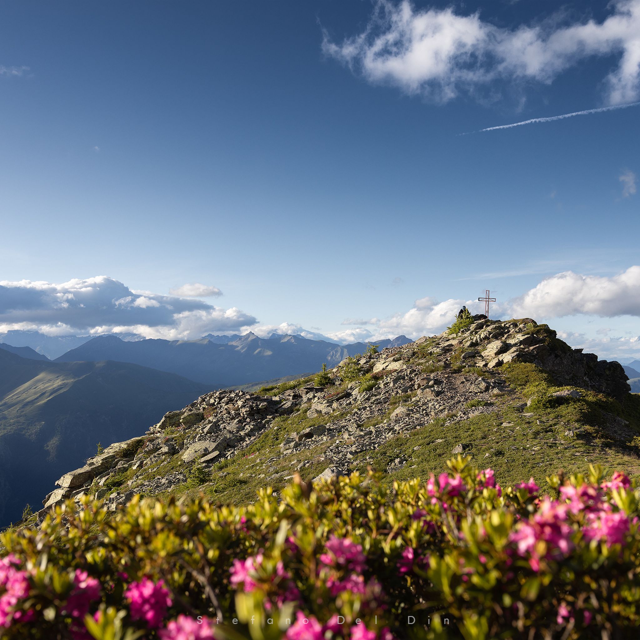
Hiking around Parco Naturale di Conca Cialancia
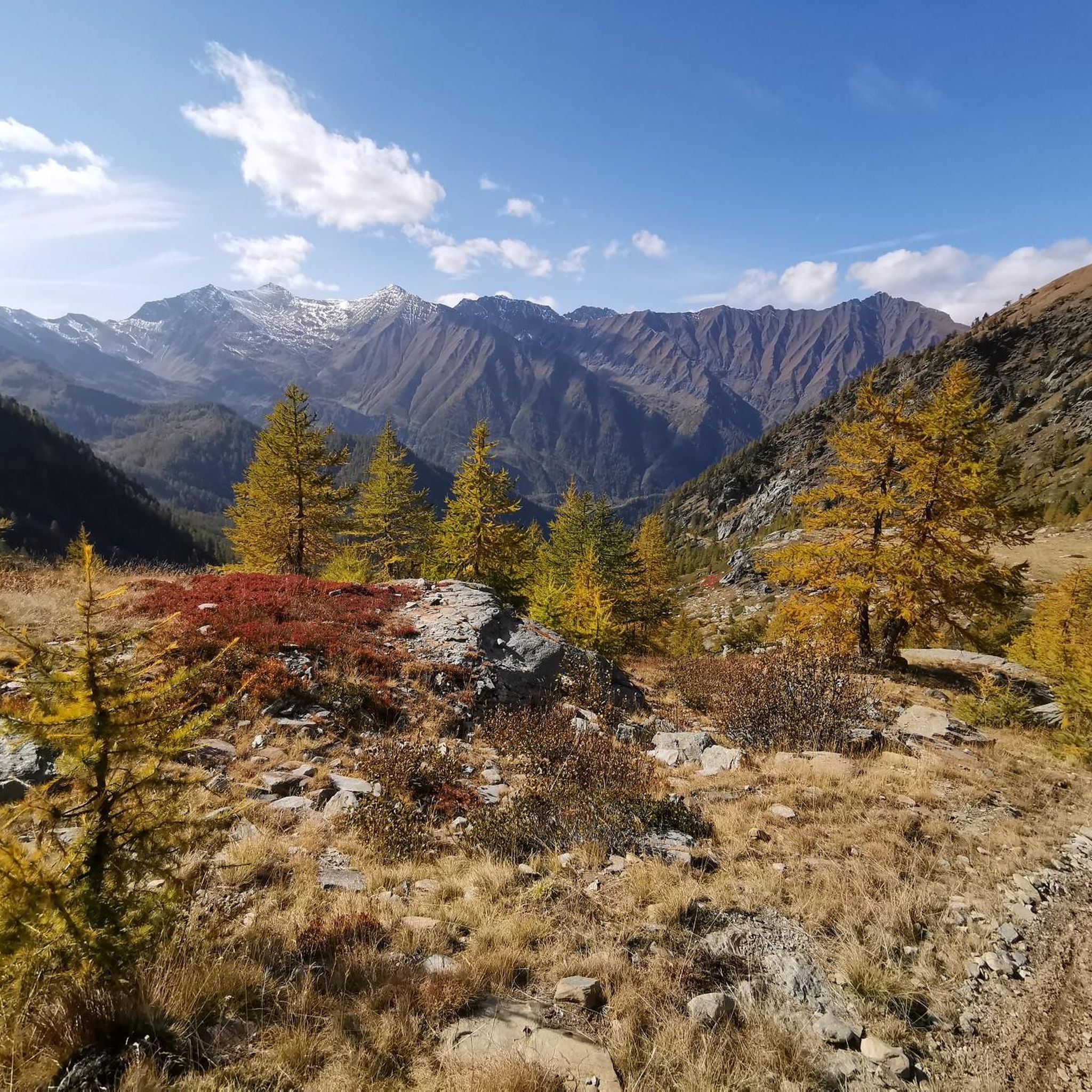
Cycling around Parco Naturale di Conca Cialancia
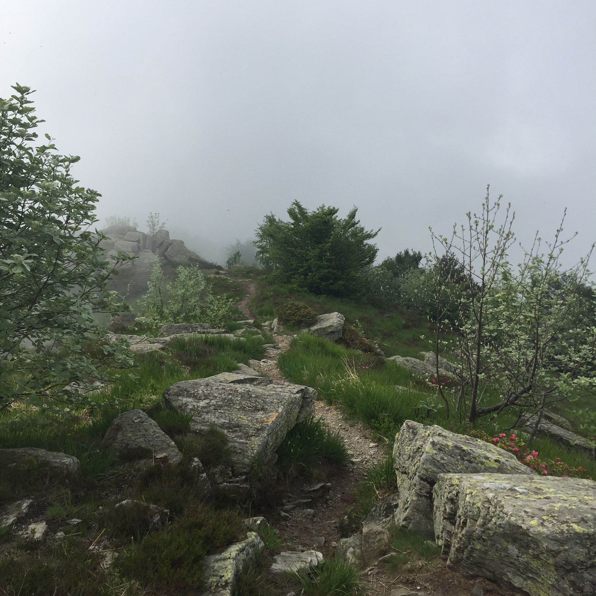
MTB Trails around Parco Naturale di Conca Cialancia
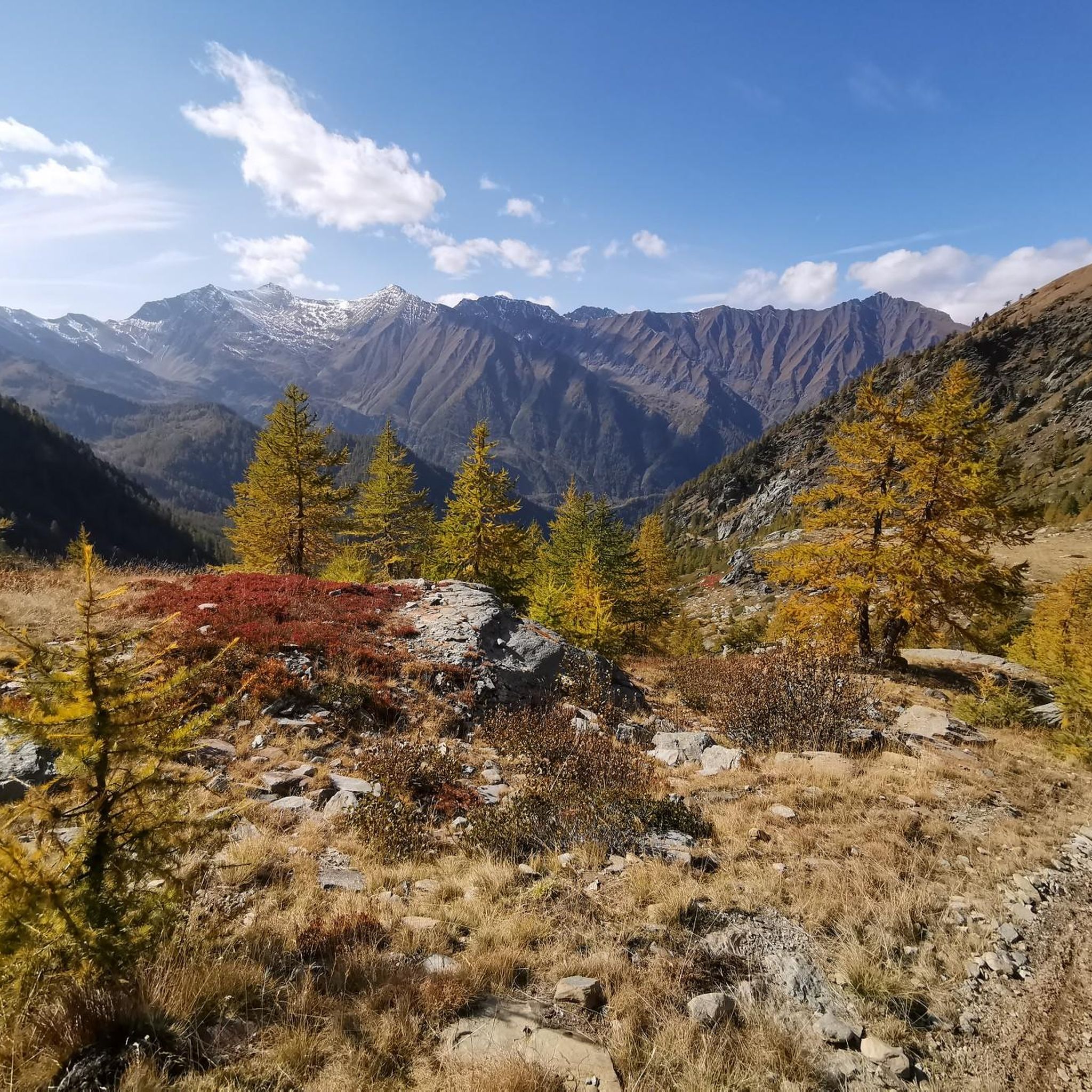
Running Trails around Parco Naturale di Conca Cialancia
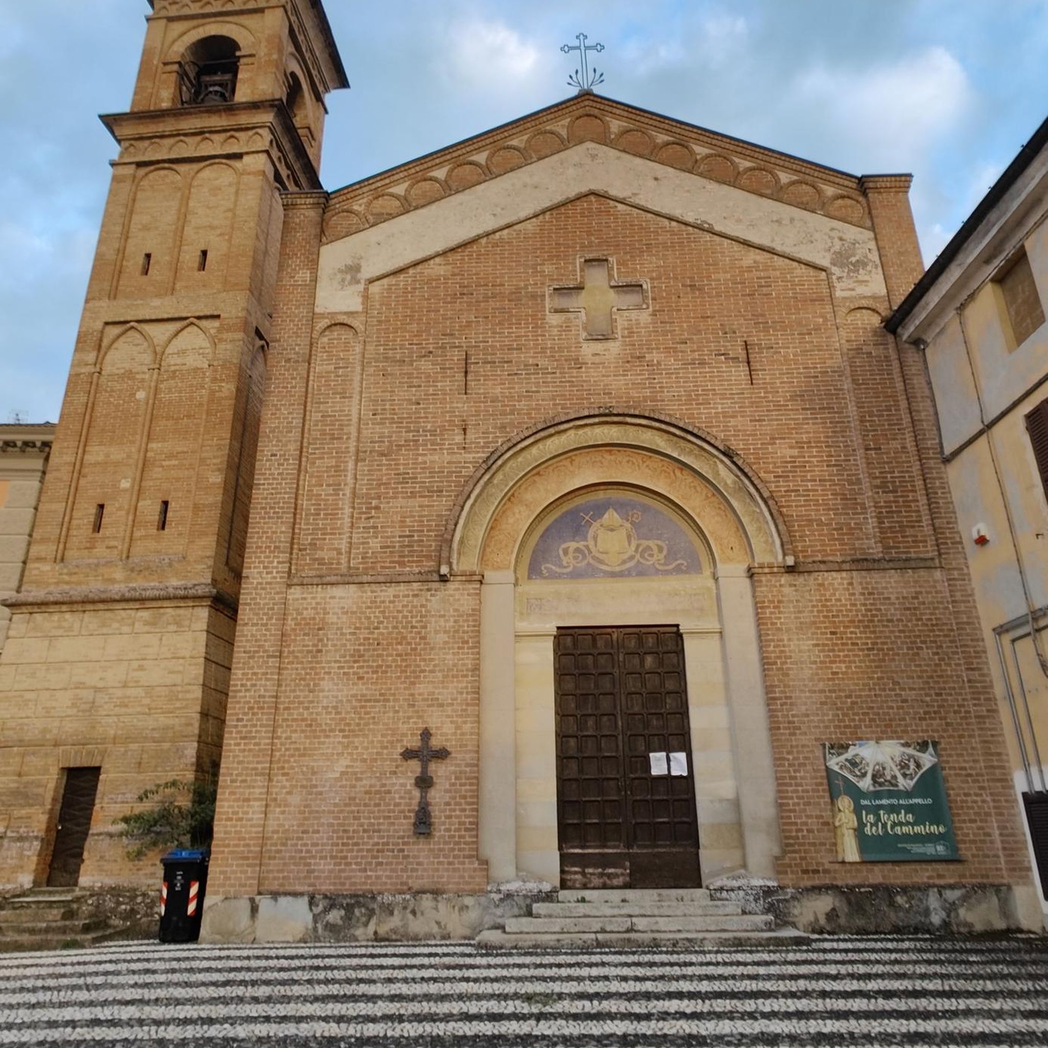
Gravel biking around Parco Naturale di Conca Cialancia
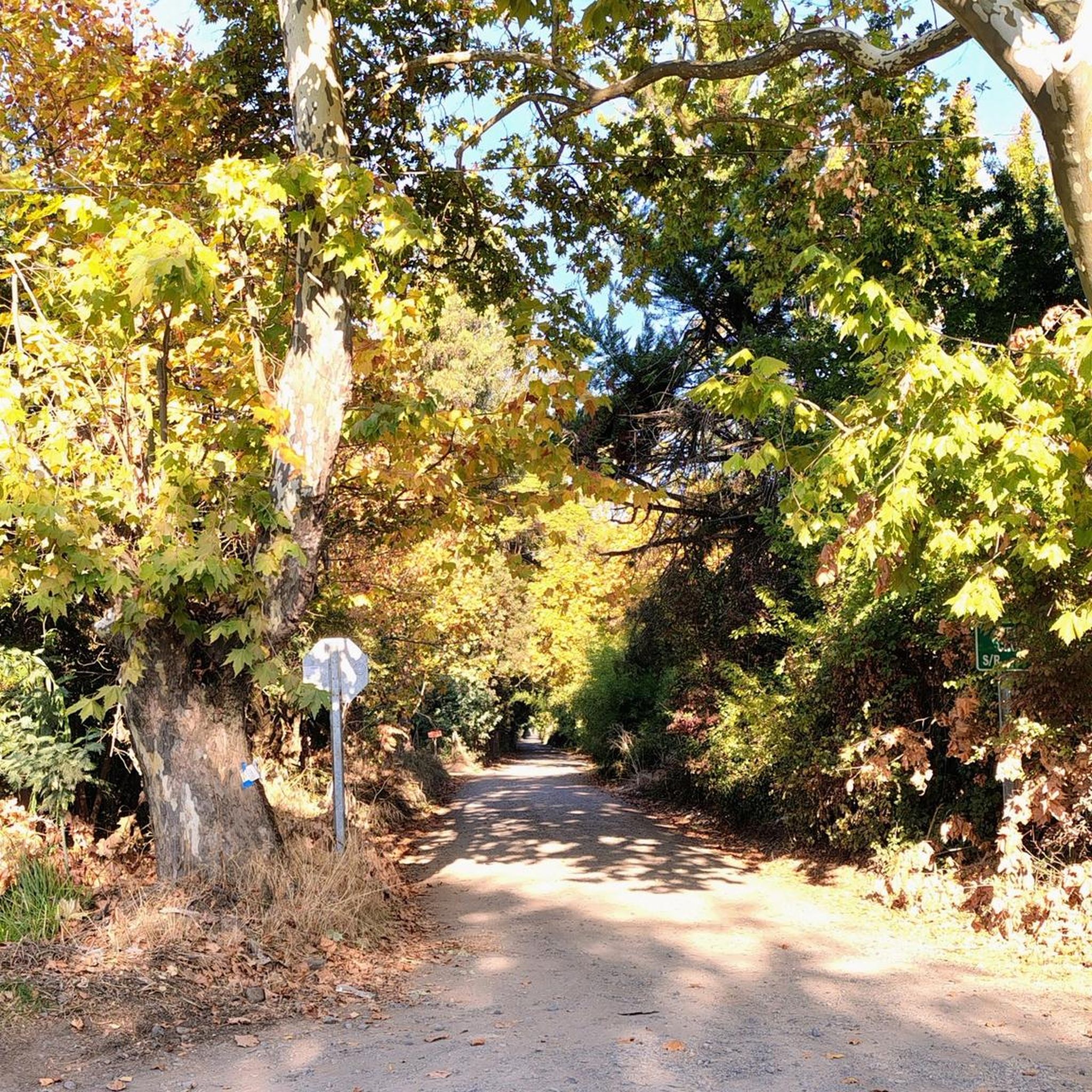
Mountain Hikes around Parco Naturale di Conca Cialancia
Tips from the Community

After the demanding climb of Via Massina, with its more than respectable ramps, the arrival in Prarostino finally offers some respite. From here, the view stretches over the plain below, amply rewarding the effort of the last few hundred meters of elevation gain.
0
0

The historical heart of the Waldensian faith. A simple and austere temple, like all Protestant temples: here one comes to pray, not to show off that we are richer than our neighbors. Nevertheless, the structure is very beautiful. Panoramic position, with a beautiful view of the valley (and of the Catholic church further down). The fountain in front of the entrance is beautiful and convenient. The WC (always open) on the valley side is also convenient. Access to the structure is protected by a small gate, which is however always open - remember to close it after passing. [Attention upon entering on the right: currently (May 2026) one of the retaining walls of the embankment has collapsed, and the terrace towards the mountain is widely roped off, you can barely pass.] The actual temple, however, is normally closed, because it's fine to trust, but there's a limit. The tombstones on the walls of the entrance vestibule are interesting. You really breathe an air of a sacred place, which I have found in few other places.
0
0
Perhaps the oldest still existing Waldensian temple, it is a small building in the locality of Ciabàs, just above the road, with an explanatory sign summarizing its history. Inside (normally closed) are buried several prominent historical figures, including the famous Baron Von Leutrum, hero of the 18th-century siege of Cuneo, sung in the historic song "Baron Litron" (which, we recall, has nothing to do with "liters" of wine or similar modern amenities). You have to make a bit of an effort to get there, going up towards Angrogna, with some initially impactful ramps - but it is certainly worth the visit.
0
0
From here you leave the cars and start climbing. Nice panorama towards the valley. Convenient fountain with drinking water.
0
0
Impactful, at times deadly, but very satisfying: from Villar Perosa for the views, from San Pietro Val Lemina for the beautiful woods you cross.
0
0
Beautiful destination. The road from Villar Perosa offers wonderful views of the high valley. The road from San Pietro Val Lemina offers some views and a lot of suffering, but it crosses beautiful woods. Worth doing, with a lot of patience.
0
0

abandoned ruin not nice to look at
0
0

A refreshing surprise nestled in the greenery: easy to reach and perfect for a short break with a view.
0
0
Frequently Asked Questions
How many road cycling routes are available in Parco Naturale di Conca Cialancia?
There are 5 road cycling routes available in Parco Naturale di Conca Cialancia, offering a variety of experiences from moderate to difficult. These routes navigate the challenging mountainous terrain of the upper Germanasca Valley.
What is the best time of year for road cycling in Parco Naturale di Conca Cialancia?
The best time for road cycling in Parco Naturale di Conca Cialancia is typically during the warmer months, from late spring to early autumn. This period offers more favorable weather conditions and ensures that higher mountain passes are clear of snow, allowing access to the full range of routes and breathtaking alpine scenery.
What are the typical difficulty levels for road cycling routes in this region?
Road cycling routes in Parco Naturale di Conca Cialancia are generally challenging, characterized by significant elevation gains and demanding grades. You'll find 3 moderate routes and 2 difficult routes, with climbs often reaching 10%. For example, the difficult route Bobbio Pellice Village – Rifugio Barbara Lowrie loop from Bobbio Pellice includes over 1,060 meters of ascent.
Are there any circular road cycling routes in Parco Naturale di Conca Cialancia?
Yes, many of the road cycling routes in Parco Naturale di Conca Cialancia are designed as loops, allowing you to start and finish in the same location. Examples include the moderate Fontana di Perrero – View of Perosa Argentina loop from Rodoretto / Rooudouret and the more challenging Colletta di Cumiana – Colle Braida Pass loop from Perosa Argentina, which covers over 111 km.
What scenic viewpoints or natural features can I expect to see along the road cycling routes?
The routes in Parco Naturale di Conca Cialancia offer dramatic alpine landscapes. You can expect to see features like the picturesque Lake Lauson, various mountain passes such as Balma Pass and Cialancia Pass, and the unique topography shaped by numerous ravines. The region is also known for its diverse alpine vegetation and rich fauna.
Is parking available for road cyclists in Parco Naturale di Conca Cialancia?
While specific designated parking areas for cyclists are not explicitly detailed, towns and villages at the base of the valleys, such as Perrero or Perosa Argentina, typically offer parking options. It's advisable to check local parking regulations upon arrival, especially in smaller hamlets.
Can I access road cycling routes in Parco Naturale di Conca Cialancia using public transport?
Public transport options in the Germanasca Valley are limited, and bringing bikes on buses might be restricted. It's generally more convenient to arrive by car and park near your chosen starting point. For specific routes, check local bus schedules and bike policies in advance, particularly if planning to start from a more remote location.
Are there cafes or places to refuel along the road cycling routes?
While the higher, more remote sections of the routes within the park itself may have limited facilities, you will find cafes, restaurants, and small shops in the villages and towns located in the valleys, such as Perrero and Perosa Argentina. These are good places to refuel before or after your ride, or for a mid-ride stop if your route passes through them.
What do other road cyclists enjoy the most about road cycling in Parco Naturale di Conca Cialancia?
The area is highly rated by the komoot community, with an average score of 4.8 stars from over 10 reviews. Cyclists often praise the challenging mountain passes, the serene alpine beauty, and the rewarding sense of accomplishment after tackling the significant elevation gains. The dramatic topography and diverse natural features are frequently highlighted as key attractions.
Are there any family-friendly road cycling routes in Parco Naturale di Conca Cialancia?
Given the challenging mountainous terrain and significant elevation gains, most road cycling routes in Parco Naturale di Conca Cialancia are better suited for experienced cyclists. There are no easy routes listed, with the majority being moderate or difficult. Families with younger children or those seeking gentler rides might find the area's main routes too demanding.
Are dogs allowed on the cycling trails in Parco Naturale di Conca Cialancia?
While dogs are generally allowed in Italian national parks, they are typically required to be kept on a leash to protect wildlife. On road cycling routes, this rule still applies. Always ensure your dog is well-behaved and does not interfere with other cyclists or local fauna. Be aware that some sections, particularly the former military road, might be unpaved.
What kind of terrain can I expect on the road cycling routes?
The terrain in Parco Naturale di Conca Cialancia is predominantly mountainous and challenging. You'll encounter significant elevation changes, with routes climbing from around 1,796 meters up to 2,855-meter peaks. While most road cycling routes are on paved surfaces, some sections, like parts of the former military road, might be unpaved but reportedly well-maintained. Expect dramatic topography with numerous ravines and alpine landscapes.
Most popular routes around Parco Naturale di Conca Cialancia
Most popular attractions around Parco Naturale di Conca Cialancia

Get inspired with the komoot mobile app


Explore more
Browse the best Road cycling routes in other regions.
