The best MTB trails around Linares De Mora
4.7
(3)
72
riders
24
rides
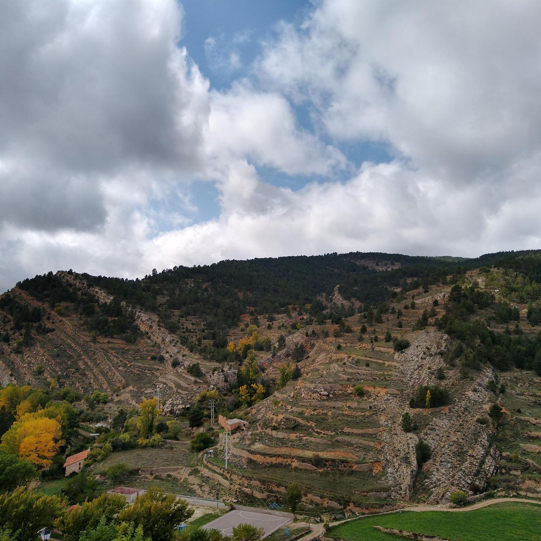
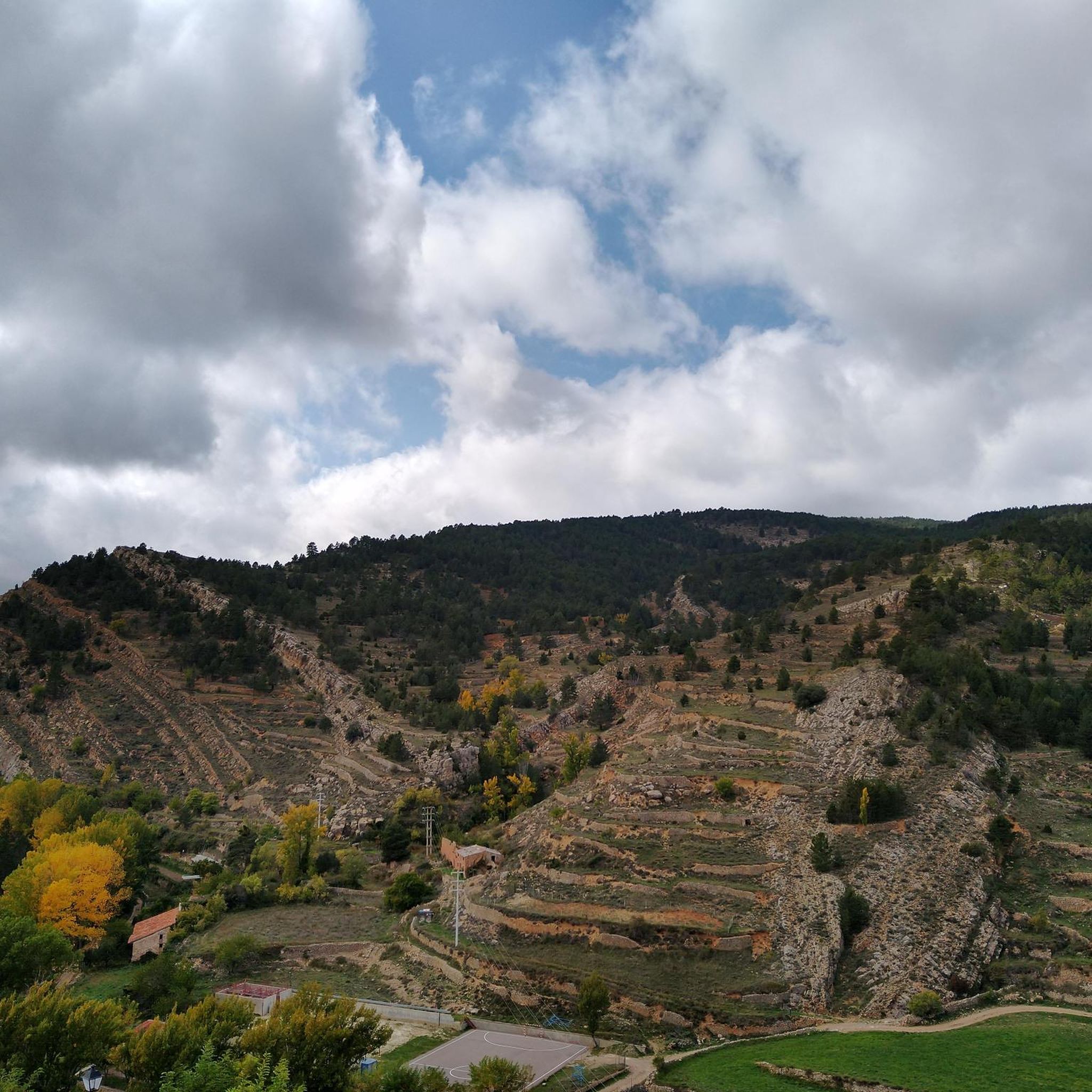
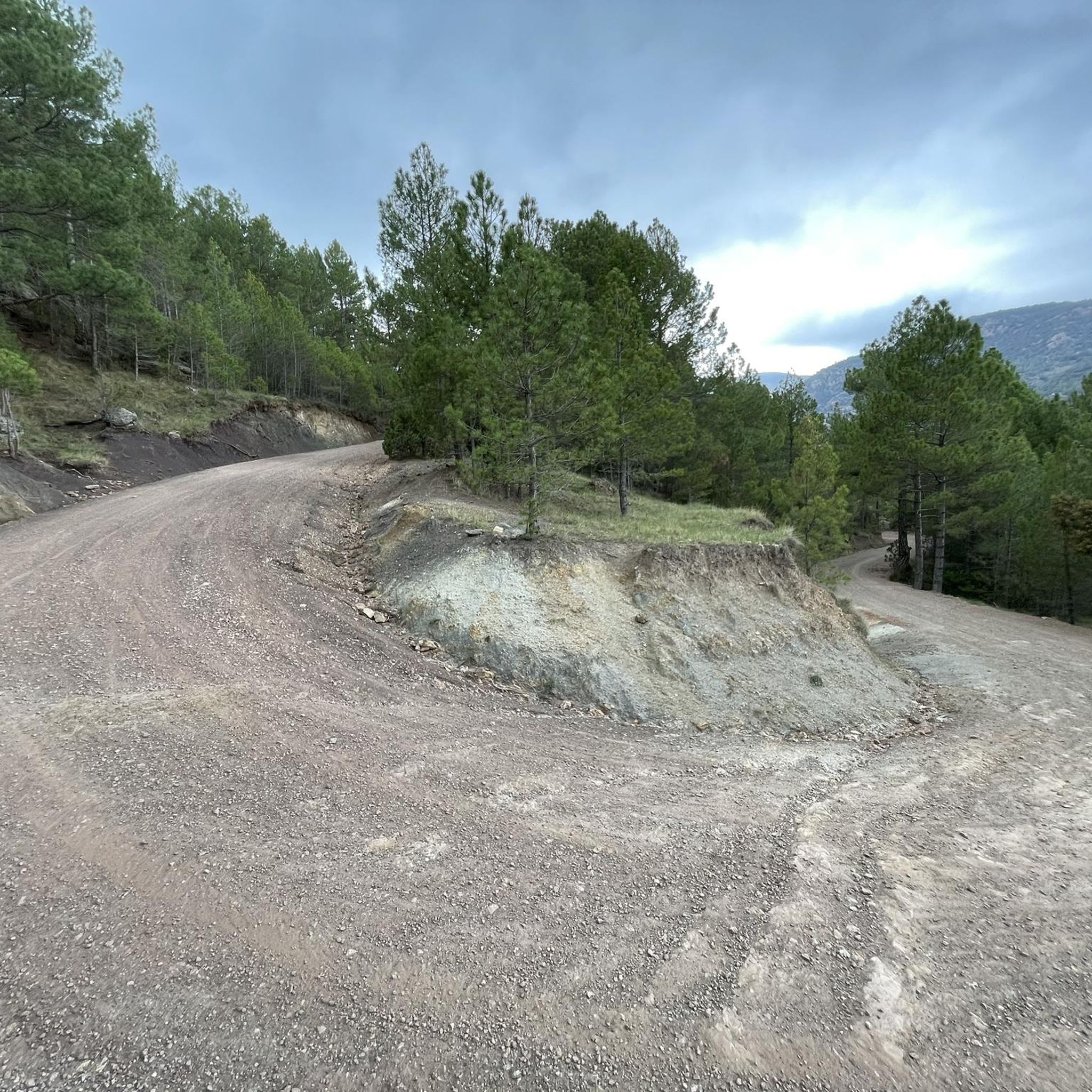
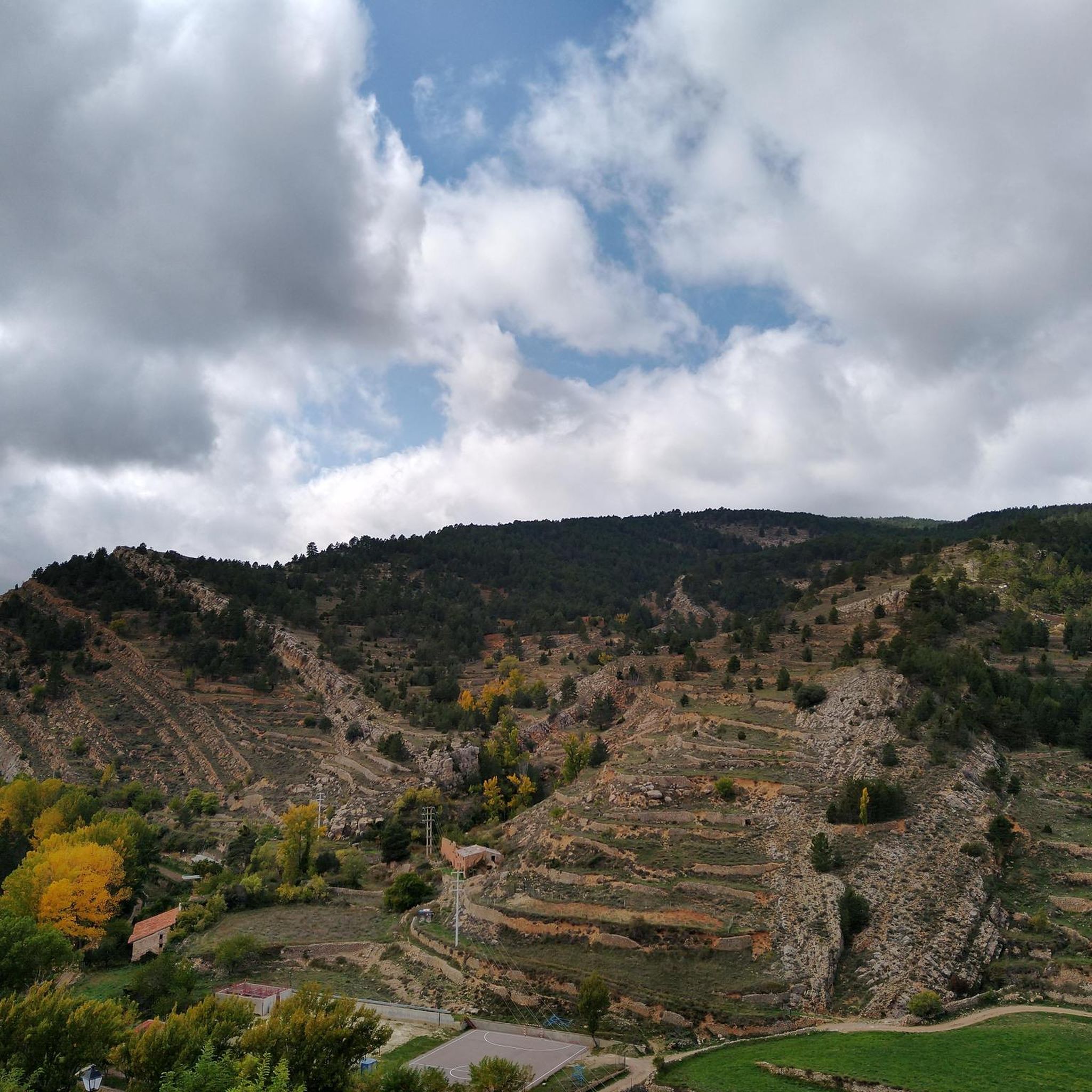
Mountain biking around Linares de Mora offers diverse terrain within the Sierra de Gúdar, characterized by extensive pine forests and Mediterranean mountain vegetation. The region's trails traverse old roads, tracks, and forest paths, providing varied surfaces for mountain bikers. The area is ecologically significant, featuring well-preserved river environments like the Barranco del Río Linares. This landscape provides a mix of ascents and descents, catering to different skill levels.
Best mountain bike trails around Linares De Mora
- The most popular mountain…
Last updated: July 22, 2026
60.9km
06:20
1,860m
1,860m
This difficult 37.8-mile mountain biking route from Cortes de Arenoso explores forests and mountains, passing Puertomingalvo and Cueva de la
4.5
(4)
21
riders
43.5km
04:10
1,010m
1,010m
Hard mountain bike ride. Very good fitness required. Suitable for all skill levels.

Sign up for free
3
riders
53.3km
05:12
1,180m
1,190m
Hard mountain bike ride. Very good fitness required. Advanced riding skills necessary. Some portions of the route may require you to push your bike.
5.0
(1)
6
riders
Moderate mountain bike ride. Good fitness required. Suitable for all skill levels.
4
riders
46.6km
03:31
870m
880m
Moderate mountain bike ride. Good fitness required. Suitable for all skill levels.
Get access to more routes and recommendations from other explorers.
Sign up for free
Already have an account?
Our route recommendations are based on thousands of hikes, rides, and runs completed by other people on komoot.
Start today with a free account
Your next adventure awaits.
Login or Signup

Tips from the Community

Panorama and isolation.... Magnificent routes for adventurous cyclists
0
0

The tour begins at the hermitage of San Antonio and follows a path that passes over a small wooden bridge and a waterfall. The cave is protected to preserve its vegetation and the geological formations that have taken millions of years to form.
3
0
The Cueva de La Tosca is located near Villahermosa del Río, in the province of Castellón. It is a natural cave formed by water erosion, where you can see impressive limestone formations such as stalagmites and stalactites. The route to the cave is ideal for families, as it is not very complicated and offers spectacular views of the natural environment.
3
0

Ski resort with 13 slopes on 3 routes accessed by 9 lifts. It has the typical services (in winter). In summer it is on the way to the summit of Peñarroya.
0
0
Viewpoint at the geodetic point. Stone turret with iron ladder that allows you to climb over the tree line to enjoy the views.
0
0
Aragonese ski and snowboard resort located in the Iberian System, specifically in the unique and extremely beautiful enclave of the Sierra de Gúdar, located in the province of Teruel. It is located at a distance of 70 km from the Provincial Capital. This winter center, despite being small in size, is at 2,000 m. of altitude, so its snow is highly appreciated, especially by Aragonese skiers and the Valencian community who, due to its proximity, are the ones who frequent and know it the most. Being one of the most recent ski and snowboard resorts in Spain, its facilities are modern, and all its slopes are equipped with the most modern artificial snowmaking systems. You can also practice cross-country skiing on a circular route. It offers gentle slopes and descents between forests.
0
0
The geodesic vertex called Peñarroya points 2028.228 m with respect to the base of the observation pillar, but it sits on two bodies of stone masonry. Altitude of the bodies of the order of 10 or 11 meters in total. LIDAR data confirm a ground level elevation of 2017 m. Peñarroya is a chromotoponym that refers to the color of the rocks that make up the mountain. The spelling in the Spanish language is Peñarroya and in the Aragonese language Penyarroya or Peñarroya depending on the spelling chosen for the palatal nasal. The origin of the toponym is quite clear. It combines the common noun peña, from the Latin PĭNNAM, 'battlement', with the adjective RŭBEŭS, -A, -UM 'blond'. The toponym reflects the reddish hue of the terrain. The spelling Penya (in addition to others such as Penna or Peña) is included in many medieval texts in Aragon. For example, in 1448 to designate the summit of the mountain range (of Peña) that rises above Sos del Rey Católico on the border, then, with the kingdom of Navarra.
1
0
The Peñarroya peak is a mountain in the Iberian System located in Alcalá de la Selva, in the province of Teruel (Aragon, Spain). With its 2028,228 m altitude, it constitutes the highest elevation of the Iberian System of Teruel (and the highest elevation of the province of Teruel). It is formed as a residual hill of Cretaceous limestone and sandstone, barely standing out on the erosion surface of the Gúdar mountain range. The most characteristic thing about its summit is its enormous geodesic vertex – about 10 m high – through which you can ascend. From the top you can see the Maestrazgo and the Javalambre mountain range. Altitude 2,028 m Prominence 1,023 m
0
0
Frequently Asked Questions
How many mountain bike trails are there in Linares de Mora?
There are over 20 mountain bike trails around Linares de Mora. These routes offer a mix of moderate and difficult terrain, traversing the diverse landscapes of the Sierra de Gúdar.
What is the typical terrain like for mountain biking in Linares de Mora?
The terrain around Linares de Mora is characterized by extensive pine forests, Mediterranean mountain vegetation, and well-preserved river environments. Trails often follow old roads, tracks, and forest paths, providing varied surfaces from wide, maintained sections to more challenging rocky and uneven areas. You can expect a mix of ascents and descents.
Are there any easy mountain bike trails suitable for beginners or families in Linares de Mora?
While Linares de Mora offers many routes, the komoot guide primarily features moderate to difficult mountain bike trails. There are no routes explicitly categorized as easy in the current selection. However, some routes, like the path to Pino del Escobón, are generally wide and without major technical difficulty, though they may include uphill sections.
What natural features or landmarks can I see along the mountain bike trails?
Many trails pass by significant natural landmarks and viewpoints. You might encounter the monumental Pino del Escobón, explore the well-preserved Barranco del Río Linares, or see the impressive Cueva de la Tosca. Other notable points include the Peñarroya Summit and Observation Tower, and the Carbo Waterfall.
Are there any circular mountain bike routes available?
Yes, many of the mountain bike routes in Linares de Mora are circular. For example, you can explore the Puertomingalvo y la Cueva de la Tosca — Circular desde Cortes de Arenoso, a challenging 60.9 km loop, or the Virgen de la Vega – Peñarroya Summit Viewpoint loop from Urbanización Sol y Nieve, a moderate 30.2 km route.
What is the best time of year for mountain biking in Linares de Mora?
The Sierra de Gúdar region, where Linares de Mora is located, offers diverse conditions. While specific seasonal advice for mountain biking isn't provided, the area is known for its natural beauty, suggesting spring and autumn offer pleasant temperatures. Proximity to the Aramon Valdelinares ski resort indicates colder, potentially snowy winters, which might limit some trails.
What do other mountain bikers enjoy the most about mountain biking in Linares de Mora?
The area is highly rated by the komoot community, with an average score of 5.0 stars. Reviewers often praise the varied terrain, the extensive pine forests, and the scenic views that make for a rewarding mountain biking experience.
Are there any routes that pass by historical sites or castles?
Yes, some routes incorporate historical elements. For instance, the difficult Alcalá de la Selva Castle – Valdelinares Ski Resort loop from Ermita Santuario de la Virgen de la Vega passes by the impressive Alcalá de la Selva Castle, offering a blend of natural beauty and cultural interest.
What is the typical elevation gain on mountain bike trails in Linares de Mora?
Mountain bike trails in Linares de Mora often feature significant elevation changes due to the mountainous terrain of the Sierra de Gúdar. For example, the difficult Puertomingalvo y la Cueva de la Tosca — Circular desde Cortes de Arenoso route has an elevation gain of over 1850 meters, while a moderate route like Puertomingalvo – Refugio de Boscassà loop from Puertomingalvo involves around 890 meters of ascent.
Are there any mountain bike routes that lead to viewpoints?
Absolutely. Many trails offer stunning views of the surrounding landscape. The ascent to Peña Calva is known for its impressive viewpoint. Additionally, the Virgen de la Vega – Peñarroya Summit Viewpoint loop from Urbanización Sol y Nieve specifically leads to the Peñarroya Summit and Observation Tower, providing panoramic vistas.
Are there any specific permits required for mountain biking in the Linares de Mora area?
The available information does not indicate any specific permits are required for general mountain biking on the trails around Linares de Mora. However, it's always advisable to respect local regulations and private property signs, especially as the area is part of the Natura 2000 network.
Can I find places to eat or drink near the mountain bike trails?
Linares de Mora itself is a charming village recognized as one of Spain's most beautiful, offering amenities. While specific cafes or pubs directly on the trails are not detailed, the town provides options for refreshments before or after your ride. Some natural landmarks, like Pino del Escobón, are equipped as picnic spots.
Most popular routes around Linares De Mora
Most popular attractions around Linares De Mora

Get inspired with the komoot mobile app


Explore more
Browse the best MTB trails in other regions.
