The best mountain hikes around Bergara
5.0
(2)
32
hikers
4
hikes
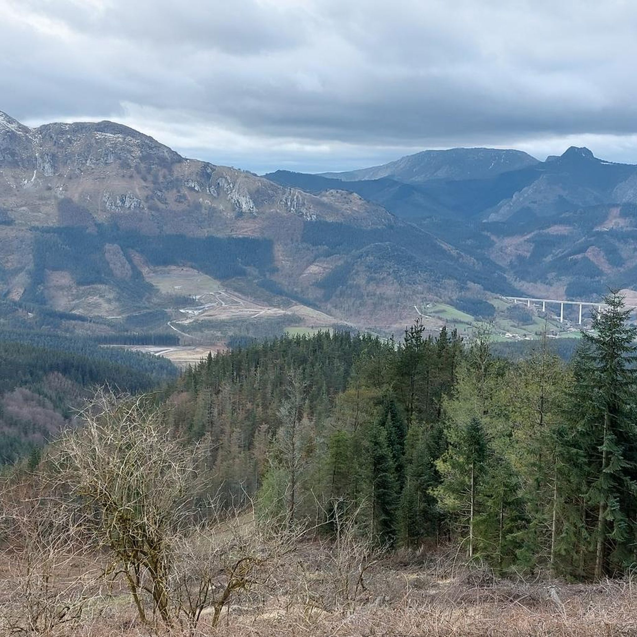
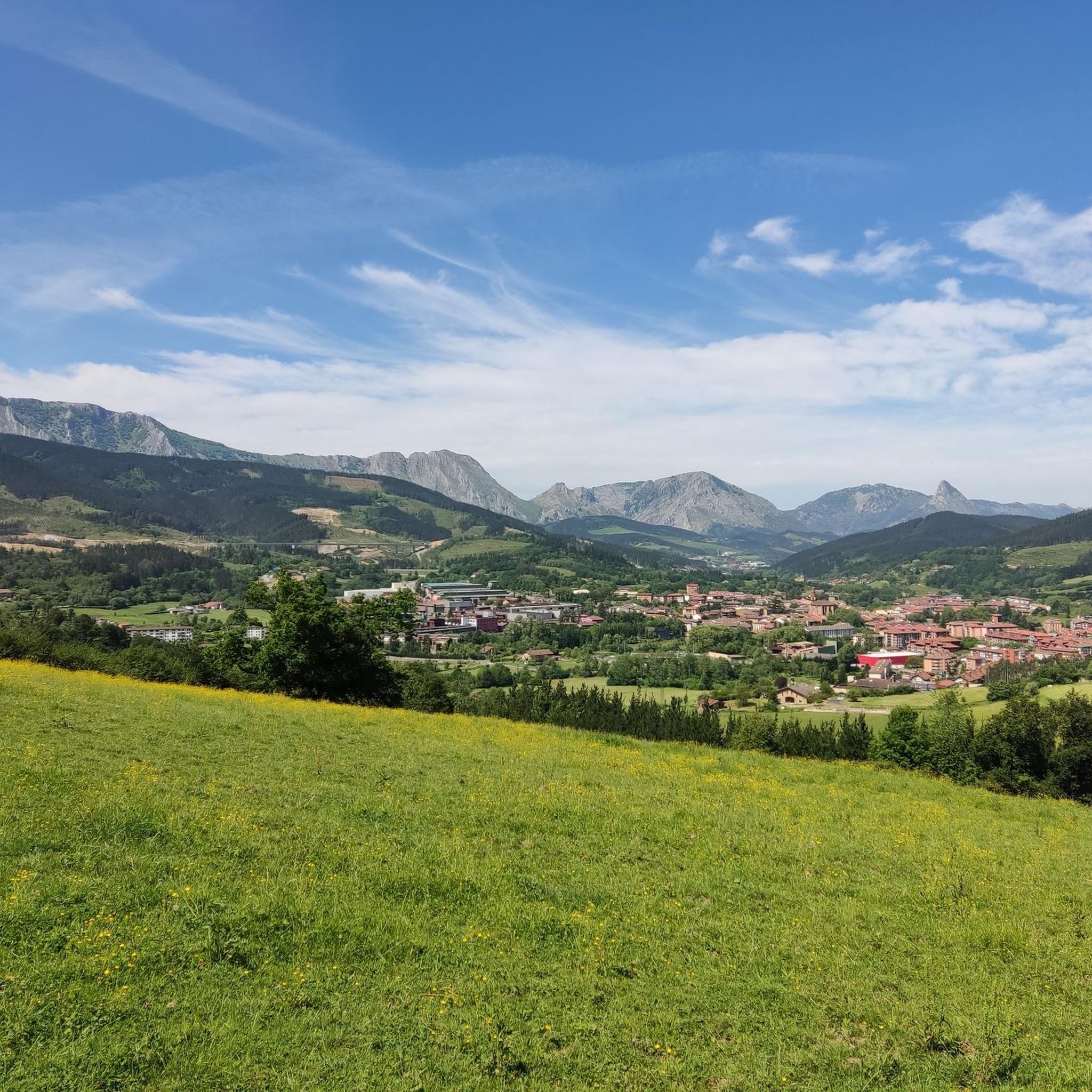
Mountaineering around Bergara, situated in Spain's mountainous Gipuzkoa province, offers diverse and challenging terrain. The region is characterized by rugged limestone peaks, expansive meadows, and dense woods, particularly within the accessible Urkiola Natural Park. Iconic mountains like Anboto (1,331 m) and Udalaitz (1,119 m) provide demanding ascent routes and impressive panoramic views. The overall hilly and rugged landscape contributes to a rich environment for mountaineering.
Best mountaineering routes around Bergara
- The most popular mountaineering route is Anboto (1,331 m) –…
Last updated: May 16, 2026
5.0
(1)
11
hikers
9.92km
05:36
1,040m
1,040m
Hard mountaineering route. Very good fitness required. Sure-footedness, sturdy shoes and alpine experience required.
5.0
(1)
7
hikers
7.38km
03:19
570m
570m
Hard mountaineering route. Good fitness required. Sure-footedness, sturdy shoes and alpine experience required.

Sign up for free
6
hikers
4.70km
02:55
560m
560m
Hard mountaineering route. Good fitness required. Sure-footedness, sturdy shoes and alpine experience required.
6
hikers
10.3km
03:41
520m
520m
Moderate mountaineering route. Good fitness required. Mostly accessible paths. Sure-footedness required.
2
hikers
8.52km
03:00
480m
480m
Moderate mountaineering route. Good fitness required. Easily-accessible paths. Suitable for all skill levels.
Our route recommendations are based on thousands of hikes, rides, and runs completed by other people on komoot.
Start today with a free account
Your next adventure awaits.
Login or Signup

Tips from the Community


It's one of those places that impresses you, and the climb is a delight.
0
0
One of Gipuzkoa's iconic mountains. And no wonder. I'd never done it before, and I loved it.
4
0

If you climb from Araotz, follow the PR, and the climb is very easy and short. From the cave parking lot, it's much steeper and zigzags. About 2.5 or 3 km with a lot of elevation gain.
2
1

Although we were caught in the fog and could not enjoy the views, the route is beautiful, worthy of the effort it requires, which is not exaggerated either.
0
0

Beautiful place with incredible views❤
0
0

Neighborhood of the municipality of Mondragón with a rural atmosphere that is located at the foot of the Udalaitz mountain, becoming a starting point for excursionists.
1
0
Mount located between Guipúzcoa and Vizcaya in the Basque Country, 1119m high. Even separated from the main chain, it is considered to be part of the so-called Montes del Duranguesado.
2
0
Frequently Asked Questions
What kind of terrain can I expect on mountaineering routes around Bergara?
Mountaineering around Bergara, located in Spain's mountainous Gipuzkoa province, features diverse and challenging terrain. You'll encounter rugged limestone peaks, expansive meadows, and dense woods, particularly within the accessible Urkiola Natural Park. The overall landscape is hilly and rugged, offering a rich environment for various mountaineering experiences.
Are there any easier mountaineering routes for beginners or those seeking a less strenuous climb?
While many routes around Bergara present significant challenges, there are options for varying ability levels. For a moderate mountaineering experience, consider the Orkatzategi Peak (869 m) – Eye of Aitzulo loop from Araotz-Elizate, which covers about 10.3 km. Another moderate option is the Lurgorri – Tellamendi loop from Ibarra, an 8.5 km route.
What are some notable natural features or landmarks I can see along the mountaineering routes?
The region is rich in natural beauty and landmarks. You can explore the Eye of Aitzulo, a fascinating cave formation, which is part of the route to Orkatzategi Peak. The iconic Anboto (1,331 m), often called the 'Matterhorn of the Basque Country,' is a major draw. You might also encounter the Alluitz (1034m) peak and the Besaide Monument, which is featured on the Udalaitz – Besaide loop from Udala.
Are there any circular mountaineering routes available near Bergara?
Yes, several routes around Bergara are circular, allowing you to start and end in the same location. Examples include the challenging Anboto (1,331 m) – Anboto Summit loop from Anboto, the scenic Udalatx ekialdeko punta – Udalaitz loop from Udala, and the Udalaitz – Besaide loop from Udala. For moderate options, consider the Orkatzategi Peak (869 m) – Eye of Aitzulo loop from Araotz-Elizate and the Lurgorri – Tellamendi loop from Ibarra.
What is the best time of year to go mountaineering in Bergara?
The lush green mountains and diverse environment of Bergara make it suitable for mountaineering for much of the year. Spring and autumn generally offer pleasant temperatures and stable weather conditions, ideal for tackling the challenging peaks. While summer can be warm, the higher elevations provide cooler air. Winter mountaineering is possible but requires appropriate gear and experience due to potential snow and ice, especially on higher peaks like Anboto.
Is mountaineering in Bergara suitable for families with children?
While many mountaineering routes in Bergara present significant challenges, the region also offers a variety of hiking options. For families, it's advisable to look for shorter, less strenuous trails or those specifically marked as family-friendly. The 'Green Belt' route encircling Bergara provides scenic views and is generally more accessible. Always check the difficulty and length of a specific route before heading out with children.
Are there any dog-friendly mountaineering trails around Bergara?
Many trails in the natural parks and mountains around Bergara are generally dog-friendly, allowing you to enjoy the outdoors with your canine companion. However, it's always recommended to keep dogs on a leash, especially in natural parks like Urkiola, to protect wildlife and ensure their safety on rugged terrain. Be mindful of the difficulty and length of the route, and ensure your dog is fit enough for the chosen adventure.
What are the most challenging peaks to climb near Bergara?
For experienced mountaineers seeking a challenge, the region offers several demanding ascents. Anboto (1,331 m), the highest peak in the Urkiola range, is particularly demanding, especially its steep northern face. Alluitz (1,034 m) also presents a challenging climb, requiring caution due to potentially slippery rock surfaces. The Udalatx ekialdeko punta – Udalaitz loop from Udala is another difficult route exploring the iconic Udalaitz mountain.
What do other mountaineers say about the routes in Bergara?
The mountaineering routes around Bergara are highly regarded by the komoot community, with an average score of 5.0 stars from 2 reviews. More than 30 mountaineers have used komoot to explore the varied terrain, often praising the challenging ascents, impressive panoramic views from peaks like Anboto and Udalaitz, and the rugged beauty of the limestone mountains and dense woods.
Are there any specific permits required for mountaineering in the natural parks near Bergara?
Generally, permits are not required for hiking and mountaineering on established trails within natural parks like Urkiola or Aizkorri-Aratz. However, it's always advisable to check the official websites of the respective natural parks for any specific regulations, especially concerning group sizes, camping, or protected areas. You can find more information about the region's natural parks through resources like Basque Country Tourism.
Where can I find parking for mountaineering trails near Bergara?
Parking availability varies by trailhead. For routes accessing peaks within Urkiola Natural Park, there are often designated parking areas near popular starting points, such as those leading to Anboto. For routes like the Anboto (1,331 m) – Anboto Summit loop from Anboto, you would typically find parking near the Anboto area itself. For routes starting from Udala or Ibarra, local parking options would be available in those villages. It's recommended to check specific route details or local maps for precise parking locations.
Can I reach mountaineering trailheads near Bergara using public transport?
While Bergara itself has public transport connections, reaching specific mountaineering trailheads in the more remote natural parks like Urkiola or Aizkorri-Aratz directly by public transport can be challenging. Buses might serve larger towns or villages near the parks, but often a car is necessary to access the exact starting points of many trails. It's best to research local bus schedules to nearby villages and plan for potential taxi services or carpooling for the final leg to the trailhead.
Most popular routes around Bergara
Most popular attractions around Bergara

Get inspired with the komoot mobile app


Explore more
Browse the best Mountain Hikes & Routes in other regions.
