The best walks and hikes around Réserve naturelle de l'estuaire de la Seine
4.4
(1763)
12,366
hikers
505
hikes
Hiking around Réserve naturelle de l'estuaire de la Seine offers exploration across a vast protected area where the Seine River meets the English Channel. This region spans 8,528 hectares, characterized by diverse habitats including mudflats, salt meadows, extensive reedbeds, and wet meadows. The terrain is generally low-lying, with some gentle elevation changes, providing varied landscapes for outdoor activities.
Best hiking trails around Réserve naturelle de l'estuaire de la Seine
- The most popular hiking route is Trouville Beach – Deauville Town Hall loop from Villerville, a 11.8 miles (18.9 km) trail that takes 5 hours 18 minutes to complete, offering views of the coastline and urban areas.
- Another top favourite among local hikers is Pont de Normandie loop from Hangar 131, a moderate 6.0 miles (9.6 km) path. This route provides perspectives of the Normandy Bridge and the surrounding estuary landscape.
- Local hikers also love the Ivy Chapel – Beautiful place loop from Villerville, a 3.8 miles (6.1 km) trail leading through coastal areas and local villages, often completed in about 1 hour 43 minutes.
- Hiking around Réserve naturelle de l'estuaire de la Seine is defined by its unique blend of riverbanks, coastal paths, and marshland environments. The network offers options for easy walks, moderate excursions, and more challenging routes.
- The routes in Réserve naturelle de l'estuaire de la Seine are highly rated by the komoot community with an average score of 4.5 stars from over 1,700 reviews. More than 12,000 hikers have used komoot to explore Réserve naturelle de l'estuaire de la Seine's varied terrain.
Last updated: May 12, 2026
4.6
(8)
19
hikers
6.24km
01:44
120m
120m
Easy hike. Great for any fitness level. Easily-accessible paths. Suitable for all skill levels.
3.9
(7)
27
hikers
9.63km
02:25
10m
10m
Moderate hike. Good fitness required. Easily-accessible paths. Suitable for all skill levels.

Sign up for free
5.0
(3)
15
hikers
6.39km
01:51
170m
160m
Easy hike. Great for any fitness level. Easily-accessible paths. Suitable for all skill levels.
4.4
(5)
21
hikers
9.85km
02:29
10m
10m
Moderate hike. Good fitness required. Easily-accessible paths. Suitable for all skill levels.
16
hikers
5.18km
01:29
130m
130m
Easy hike. Great for any fitness level. Easily-accessible paths. Suitable for all skill levels.
Get access to more routes and recommendations from other explorers.
Sign up for free
Already have an account?
Our route recommendations are based on thousands of hikes, rides, and runs completed by other people on komoot.
Start today with a free account
Your next adventure awaits.
Login or Signup
Popular around Réserve naturelle de l'estuaire de la Seine
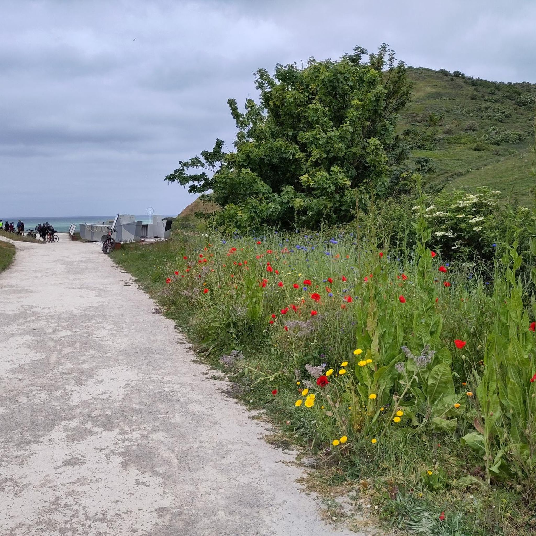
Cycling around Réserve naturelle de l'estuaire de la Seine
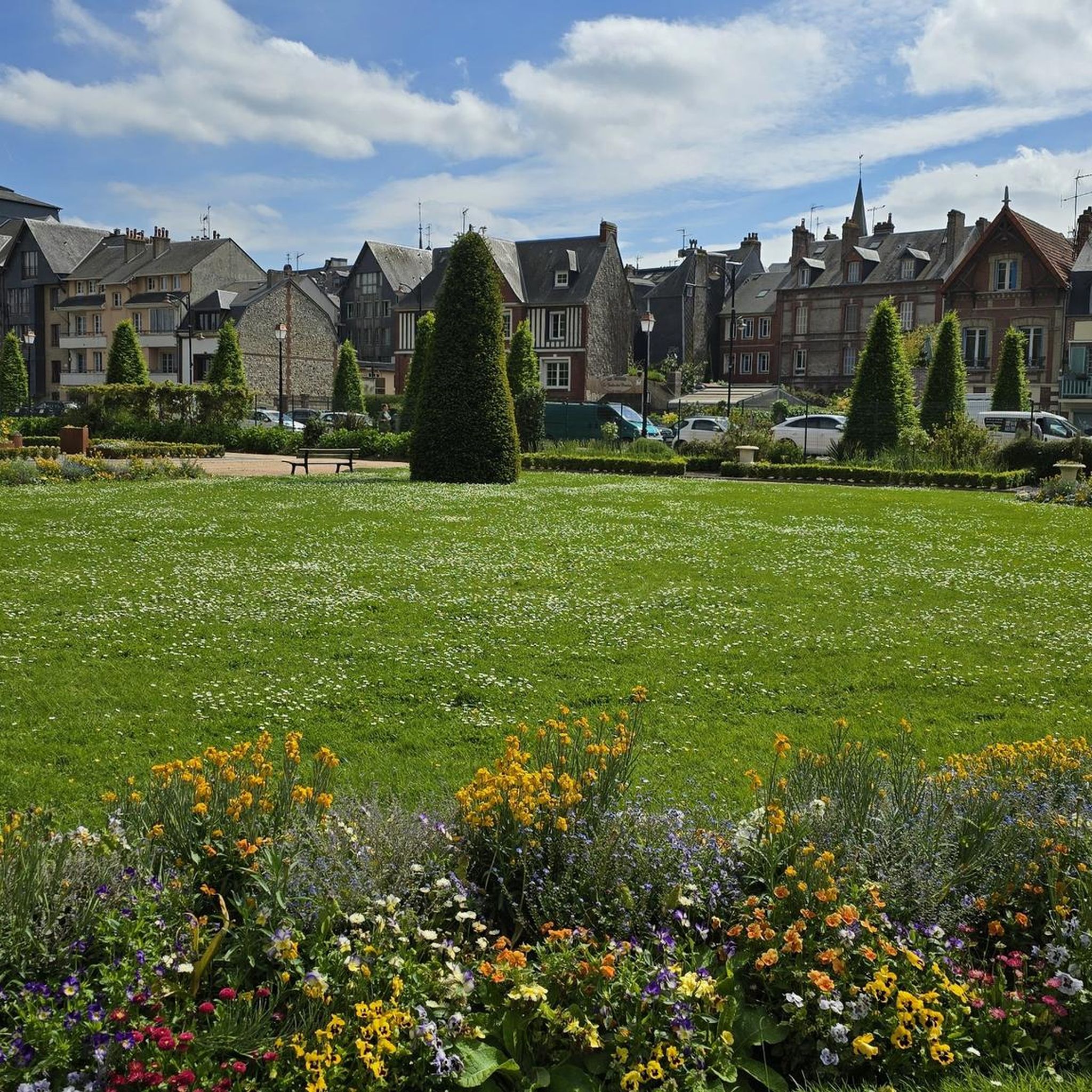
Road Cycling Routes around Réserve naturelle de l'estuaire de la Seine
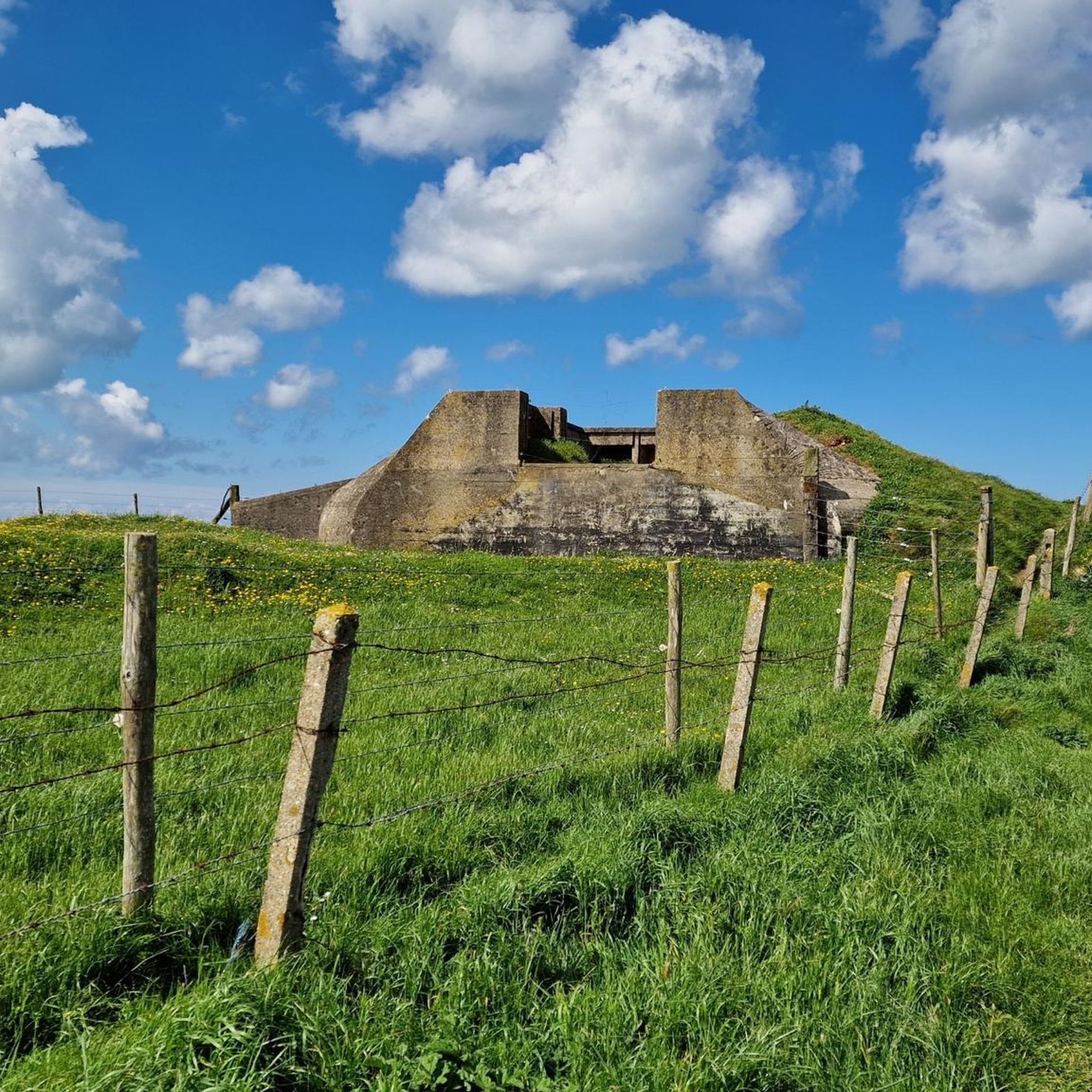
Running Trails around Réserve naturelle de l'estuaire de la Seine
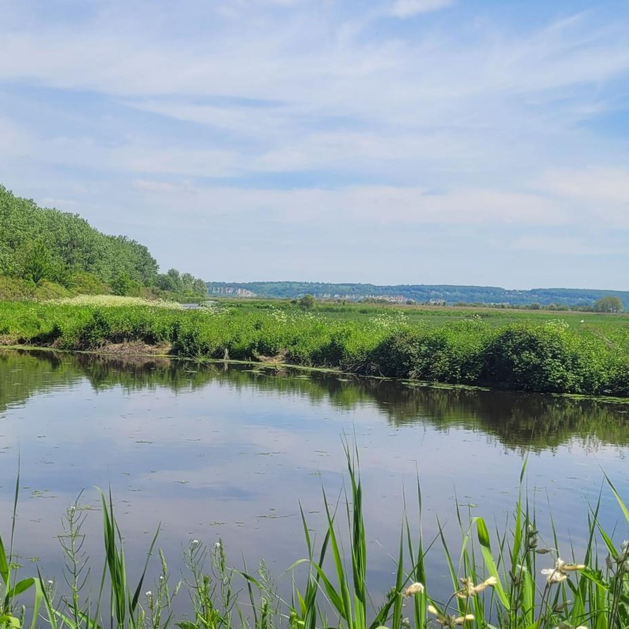
MTB Trails around Réserve naturelle de l'estuaire de la Seine

Gravel biking around Réserve naturelle de l'estuaire de la Seine
Tips from the Community

descent is dangerous due to landslide but possible
1
0


These groynes can be easily reached at low tide.
1
0

Faced with the rapid increase in road traffic, the idea of a second bridge connecting the two banks of the Seine was born in 1972. The Normandy Bridge, which was opened on 26 January 1995, is a true engineering feat: 2141.25 m long, 23.60 m wide, pylons 214 m high, 7 years of work... and 10 million hours of work.
2
0

This magnificent church is a bit large to be just a chapel. Dating from the 12th century, it is typical of Norman architecture of that era. Its real name is the church of Saint-Martin de Cricqueboeuf. The name being a little complicated, it was nicknamed the ivy chapel.
0
0


The Pont de Normandie (English: Normandy Bridge) is a cable-stayed bridge that has the longest span in Europe at 856 m. It crosses the Seine estuary and connects Le Havre (then Upper Normandy) on the right bank to the north with Honfleur (then Lower Normandy) on the left bank to the south. The bridge was built between 1988 and 1994 and was inaugurated on January 20, 1995. The 23.60 m wide bridge has a total length of 2141.25 m. It consists of the southern approach bridges with twelve spans and spans of 96.00 m + 9×43.50 m + 32.5 m + 3×70 m + 27.75 m (= 547.75 m), the northern approach bridges with 16 spans and spans of 96.00 m + 14×43.50 m + 32.50 m (= 737.50 m) and the 856 m large one main opening. The 3 m high superstructure of the main opening consists of a 624 m long central steel section, which is followed on both sides by 116 m long prestressed concrete sections. The pylons of the cable-stayed bridge are 203 m high and each carry 2×23 cables. The passage height for ships is 52 m at the highest known water level. Source: de.wikipedia.org/wiki/Pont_de_Normandie
3
0

Beautiful eye-catcher on the route.
6
0
Frequently Asked Questions
How many hiking trails are available in Réserve naturelle de l'estuaire de la Seine?
There are over 500 hiking routes available in the Réserve naturelle de l'estuaire de la Seine, catering to various skill levels. You'll find a wide range of options from easy strolls to more challenging excursions.
What are the general difficulty levels of hikes in the Réserve naturelle de l'estuaire de la Seine?
The Réserve naturelle de l'estuaire de la Seine offers a diverse range of hiking difficulties. You'll find over 280 easy routes, around 210 moderate paths, and about 20 more challenging trails, ensuring options for every hiker.
Are there any family-friendly hiking options in the reserve?
Yes, the reserve is well-suited for families. Many of the 287 easy routes are ideal for all ages. The region research highlights six educational trails designed for safe exploration, perfect for families to discover the diverse habitats and wildlife.
Can I bring my dog on the hiking trails?
The Réserve naturelle de l'estuaire de la Seine is a protected area with rich biodiversity, especially birds. While specific regulations for dogs on trails are not detailed in the provided information, it's generally recommended to keep dogs on a leash and stay on marked paths to avoid disturbing wildlife, particularly in sensitive areas like reedbeds and mudflats.
What kind of natural features and landscapes can I expect to see while hiking?
The reserve is characterized by a unique blend of river and sea environments. You'll encounter diverse landscapes including mudflats, salt meadows, extensive reedbeds, and wet meadows. These habitats support over 500 plant species and are crucial for more than 300 bird species, offering excellent opportunities for nature observation.
Are there any circular walks recommended in the area?
Yes, many routes in the reserve are designed as loops. For example, the Villerville Beach – Villerville loop from Villerville is an easy 6.4 km (4 miles) trail that takes about 1 hour 50 minutes, offering coastal views and village charm.
What is the best time of year to go hiking in the Réserve naturelle de l'estuaire de la Seine?
The reserve is a significant migratory stop and breeding ground for numerous bird species. Therefore, spring and autumn are particularly rewarding for birdwatching enthusiasts. However, its diverse landscapes offer unique experiences throughout the year, provided you wear appropriate footwear, especially in marshy areas.
What can I see along the hiking trails besides nature?
Beyond the natural beauty, you can explore interesting points of interest. The Reserve Visitor Center, located at the foot of the Pont de Normandie, offers educational insights into the estuary. You might also encounter the Estuary Nature Reserve Trail and the unique reed beds of the Seine estuary.
Are there any specific trails for birdwatching?
The entire reserve is a prime location for birdwatching, with over 300 bird species observed. The Maison de la Réserve provides access to an educational path through ponds and reed beds, which are excellent habitats for birds. Binoculars are highly recommended for optimal viewing.
What do other hikers enjoy most about hiking in Réserve naturelle de l'estuaire de la Seine?
The area is highly rated by the komoot community, with an average score of 4.5 stars from over 1,700 reviews. Hikers often praise the unique blend of riverbanks, coastal paths, and marshland environments, as well as the opportunities for wildlife observation.
Is there parking available near the trailheads?
While specific parking locations for all trailheads are not detailed, the Maison de la Réserve, a key visitor attraction, is located at the foot of the Pont de Normandie, suggesting parking facilities are available there for accessing nearby educational paths and trails.
Are there any easy routes with good views of the Normandy Bridge?
Yes, the Pont de Normandie loop from Maison de la Réserve is a moderate 9.8 km (6.1 miles) route that offers excellent perspectives of the Normandy Bridge and the surrounding estuary landscape. It takes approximately 2 hours 28 minutes to complete.
Most popular routes around Réserve naturelle de l'estuaire de la Seine
Most popular attractions around Réserve naturelle de l'estuaire de la Seine

Get inspired with the komoot mobile app


Explore more
Browse the best Hikes in other regions.
