The best running trails around Réserve naturelle de la vallée de Chaudefour
4.7
(119)
10,758
runners
331
runs
Jogging around Réserve naturelle de la vallée de Chaudefour offers exploration of a glacial valley carved by volcanic activity, featuring dramatic rock formations and diverse ecosystems. The terrain varies significantly, ranging from 900 to 1,800 meters in altitude, providing both flat paths through meadows and challenging ascents. This national nature reserve is characterized by volcanic rock cliffs, impressive dykes like the Dent de la Rancune, and numerous waterfalls such as the Cascade de la Biche. Beech forests, subalpine meadows, and…
Last updated: May 18, 2026
5.0
(1)
213
runners
10.5km
01:41
620m
620m
Hard run. Very good fitness required. Sure-footedness, sturdy shoes and alpine experience required.
91
runners
30.9km
04:01
1,160m
1,160m
Hard run. Very good fitness required. Mostly paved surfaces. Suitable for all skill levels.

Sign up for free
29
runners
Hard run. Very good fitness required. Mostly paved surfaces. Suitable for all skill levels.
26
runners
17.7km
02:10
500m
500m
Hard run. Very good fitness required. Mostly paved surfaces. Suitable for all skill levels.
5.0
(1)
22
runners
Moderate run. Good fitness required. Mostly paved surfaces. Suitable for all skill levels.
Get access to more routes and recommendations from other explorers.
Sign up for free
Already have an account?
Our route recommendations are based on thousands of hikes, rides, and runs completed by other people on komoot.
Start today with a free account
Your next adventure awaits.
Login or Signup
Popular around Réserve naturelle de la vallée de Chaudefour
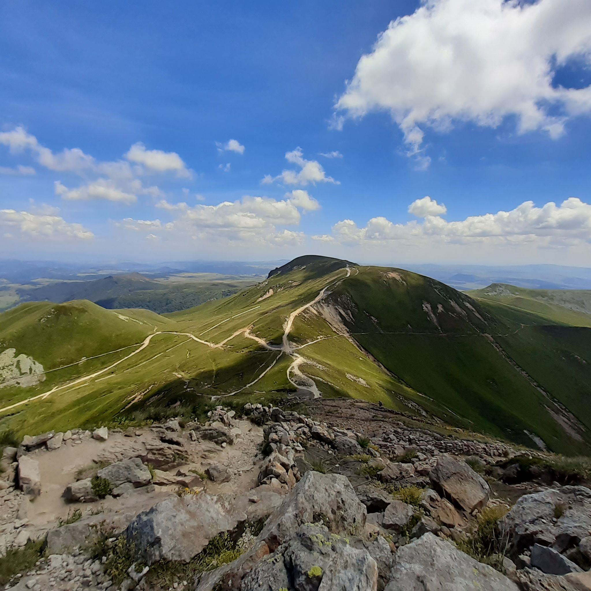
Hiking around Réserve naturelle de la vallée de Chaudefour
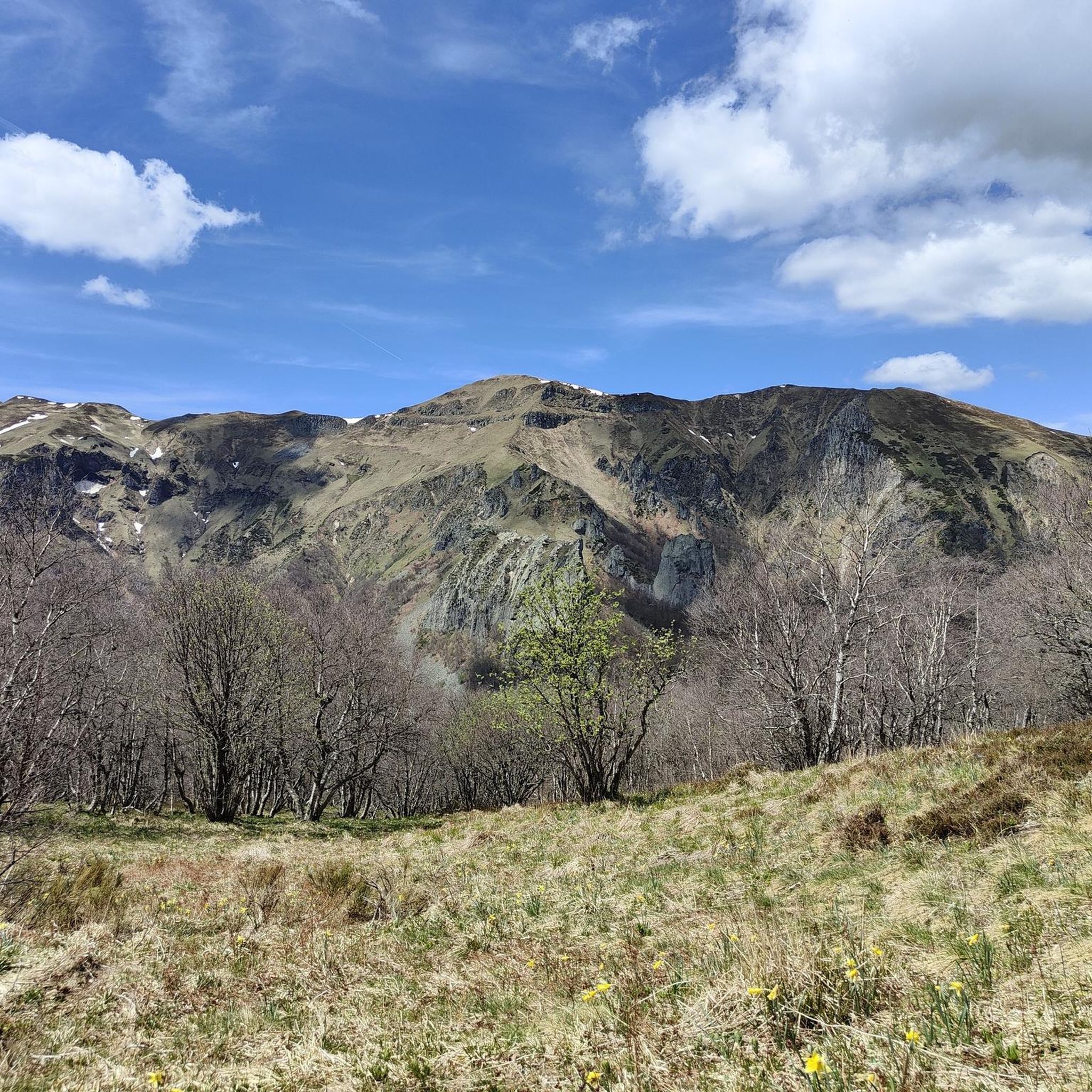
MTB Trails around Réserve naturelle de la vallée de Chaudefour
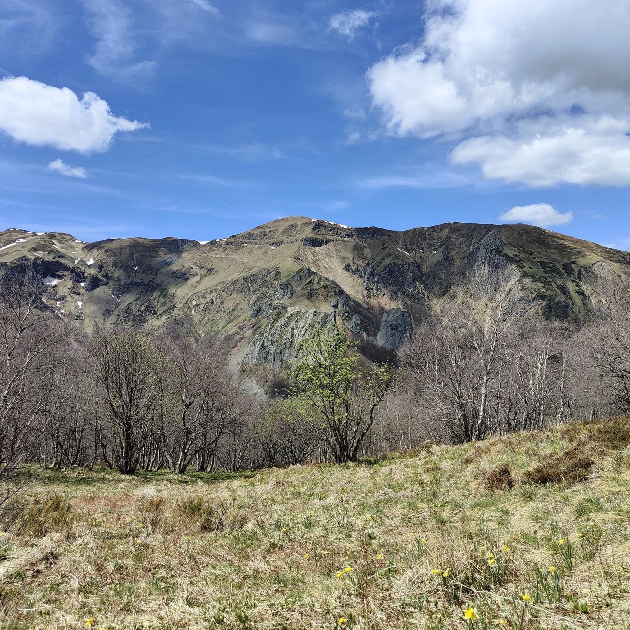
Cycling around Réserve naturelle de la vallée de Chaudefour
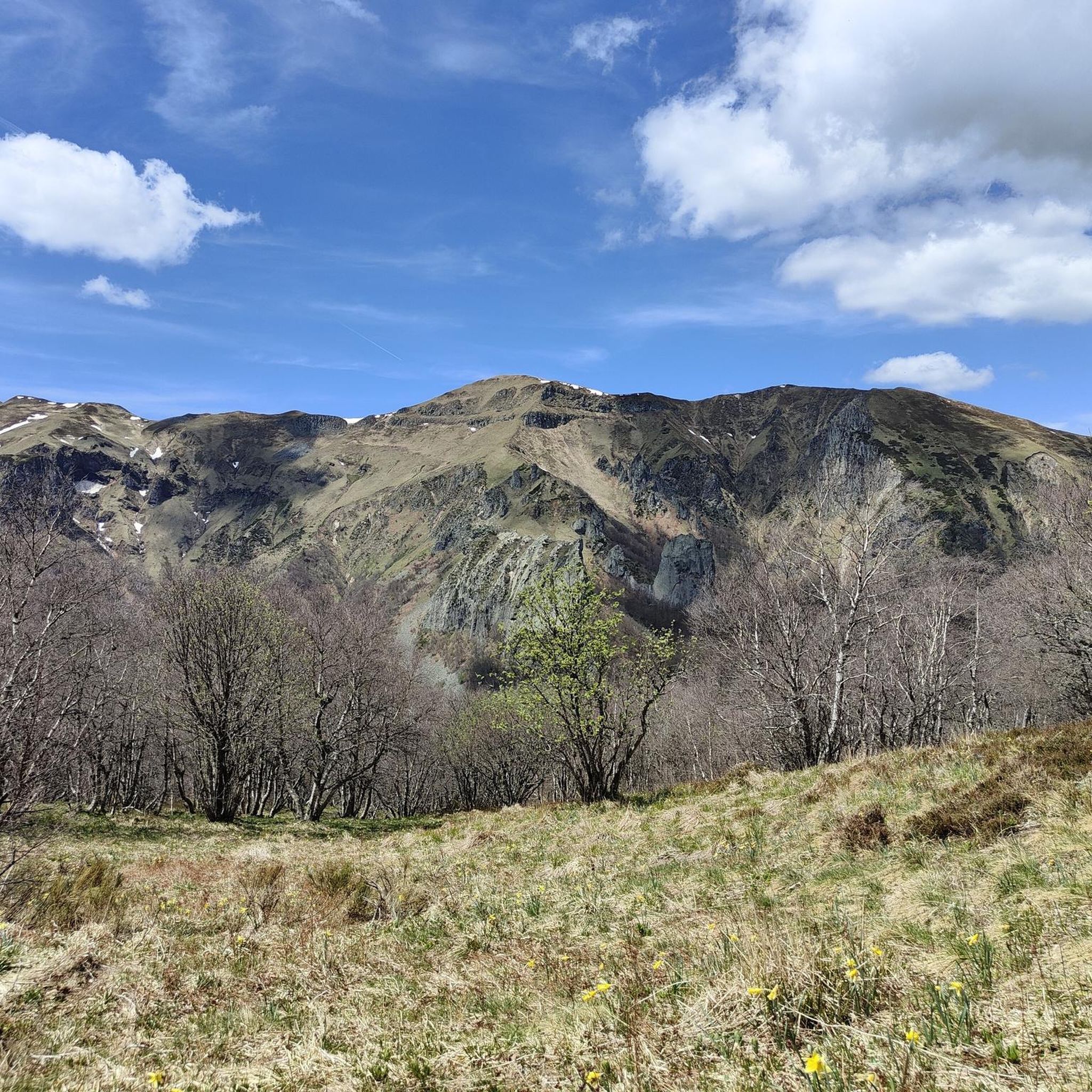
Road Cycling Routes around Réserve naturelle de la vallée de Chaudefour

Gravel biking around Réserve naturelle de la vallée de Chaudefour

Mountain Hikes around Réserve naturelle de la vallée de Chaudefour
Tips from the Community

From September 30th to May 1st, parking here is free. I've also included a picture of the parking fees. These are the 2025 rates.
0
0

you have to have ridden it to understand
0
0


This is a popular hiking area in the Auvergne Volcanoes Nature Park. Those who want to hike in nature should set off early.
1
0


beautiful view of the lake and the mountains.
3
0

Very impressive prospects, good to go.
0
0
Frequently Asked Questions
How many running routes are available in Réserve naturelle de la vallée de Chaudefour?
The Réserve naturelle de la vallée de Chaudefour offers a wide selection of running routes, with over 300 trails available. These range from easy paths through the valley floor to challenging ascents with significant elevation gain.
Are there any easy or beginner-friendly jogging routes in the Chaudefour Valley?
Yes, for those seeking a gentler run, there are 9 easy routes available. These typically follow flatter paths through meadows in the valley floor, providing a pleasant experience without strenuous climbs. While specific easy routes are not highlighted in the guide, you can find them by filtering for 'easy' difficulty on komoot.
What kind of natural landmarks or viewpoints can I expect to see while running in the reserve?
The reserve is rich in dramatic natural features. You can encounter impressive volcanic rock formations like the Dent de la Rancune, enjoy refreshing sights of waterfalls such as the Chaudefour Valley and the Biche Waterfall, and discover the unique Chaudefour Valley Nature Reserve itself. Higher trails also offer breathtaking panoramic views, including the Ridge Overlooking the Chaudefour Valley, with vistas of the Puy de Dôme and the Massif du Sancy.
Are there any circular running routes in the Réserve naturelle de la vallée de Chaudefour?
Yes, many of the running routes in the reserve are circular, allowing you to start and finish at the same point. For example, the challenging Obelisk – Lac Gabon loop from Rocher de l'Aigle offers a substantial 30.8 km circuit, while the Chambon-sur-Lac – Chambon-sur-Lac from above loop from Monneaux is another excellent option for a circular run.
What is the best time of year to go jogging in the Réserve naturelle de la vallée de Chaudefour?
The reserve offers beautiful running conditions throughout much of the year. The Maison de la Réserve naturelle, a welcoming point for visitors, is open from May to September, suggesting these months are particularly favorable for exploring the trails. During this period, you can expect pleasant weather and full accessibility to the valley's features.
Is the Réserve naturelle de la vallée de Chaudefour suitable for family jogging or running with children?
The reserve offers varied terrain, making it possible to find routes suitable for families. While the valley floor provides flatter, easier paths, some sections can be quite challenging. It's best to choose one of the 9 easy routes available or a moderate one like the Cascade de la Biche loop, which is 5.5 km long and leads to a picturesque waterfall, making it an engaging option for families.
What do other runners think about the trails in Réserve naturelle de la vallée de Chaudefour?
The running routes in Réserve naturelle de la vallée de Chaudefour are highly regarded by the komoot community, boasting an average rating of 4.6 stars from over 120 reviews. More than 12,000 runners have used komoot to explore the varied terrain, often praising the stunning glacial and volcanic landscapes, diverse ecosystems, and well-defined trails.
Are there any routes that feature waterfalls?
Yes, the reserve is home to several picturesque waterfalls. A popular moderate running route that takes you to one of these is the Cascade de la Biche loop from Réserve naturelle de la vallée de Chaudefour. This 5.5 km trail offers refreshing views of the Chaudefour Valley and the Biche Waterfall.
What is the typical length and duration of a running route in the reserve?
The length and duration of running routes vary significantly. You can find shorter, moderate trails like the Cascade de la Biche loop, which is about 5.5 km and takes around 45 minutes. For more challenging and longer runs, options like the Obelisk – Lac Gabon loop stretches over 30 km, requiring several hours to complete.
Are there parking facilities available for accessing the running trails?
While the guide doesn't specify exact parking locations, the main entrance to the Chaudefour Valley is noted as very accessible. It is common for popular nature reserves to have designated parking areas near trailheads. We recommend checking local signage or online maps for specific parking information before your visit.
What kind of terrain should I expect on the running trails?
The terrain in Réserve naturelle de la vallée de Chaudefour is incredibly varied due to its glacial and volcanic origins. You'll find everything from flat paths through lush meadows in the valley floor to challenging ascents along ridges, with altitudes ranging from 900 to 1,800 meters. Expect a mix of well-defined trails, some rocky sections, and paths through beech forests and subalpine meadows.
Most popular routes around Réserve naturelle de la vallée de Chaudefour
Most popular attractions around Réserve naturelle de la vallée de Chaudefour

Get inspired with the komoot mobile app


Explore more
Browse the best Running Trails & Routes in other regions.
