The best walks and hikes around Brünisried
4.6
(1996)
14,687
hikers
403
hikes
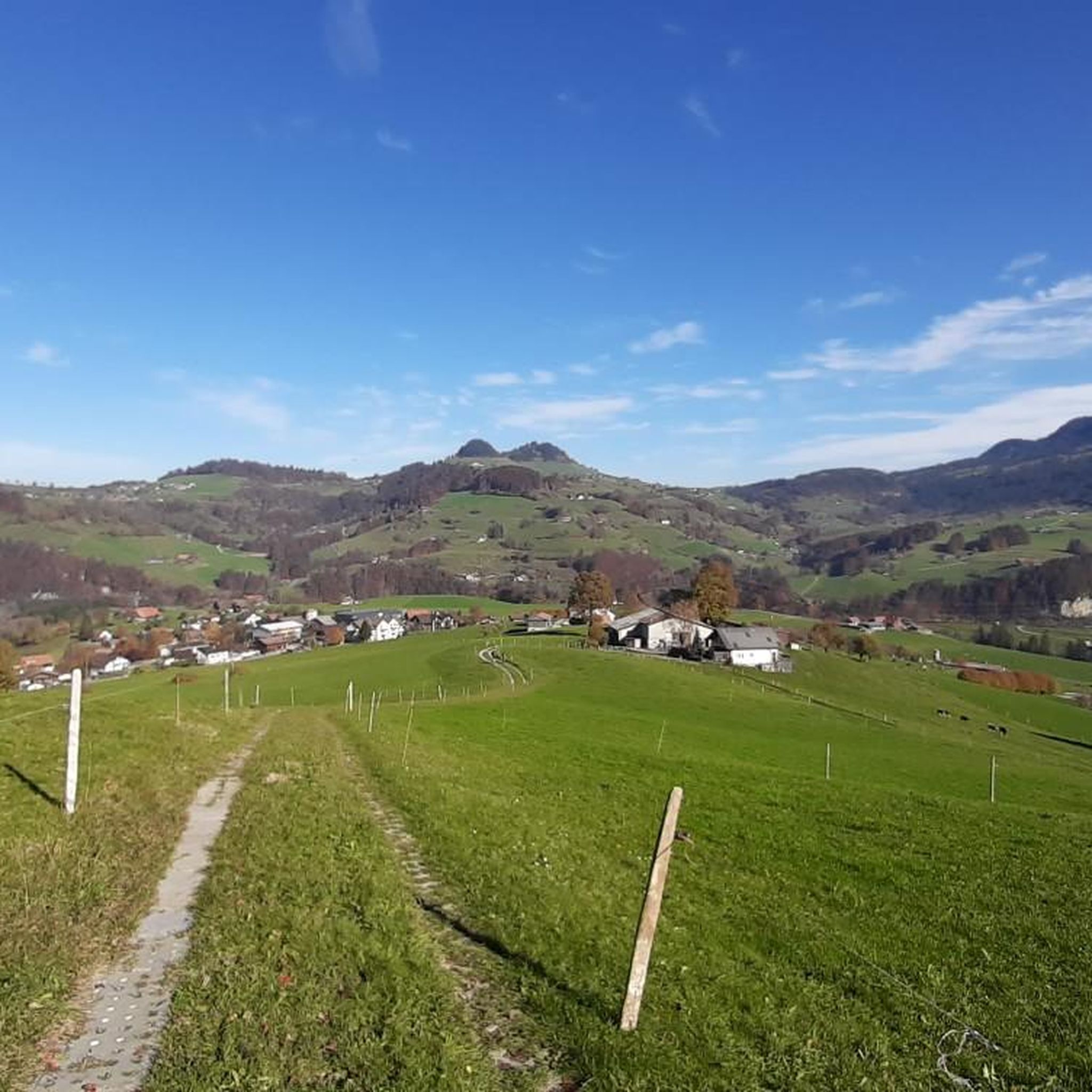
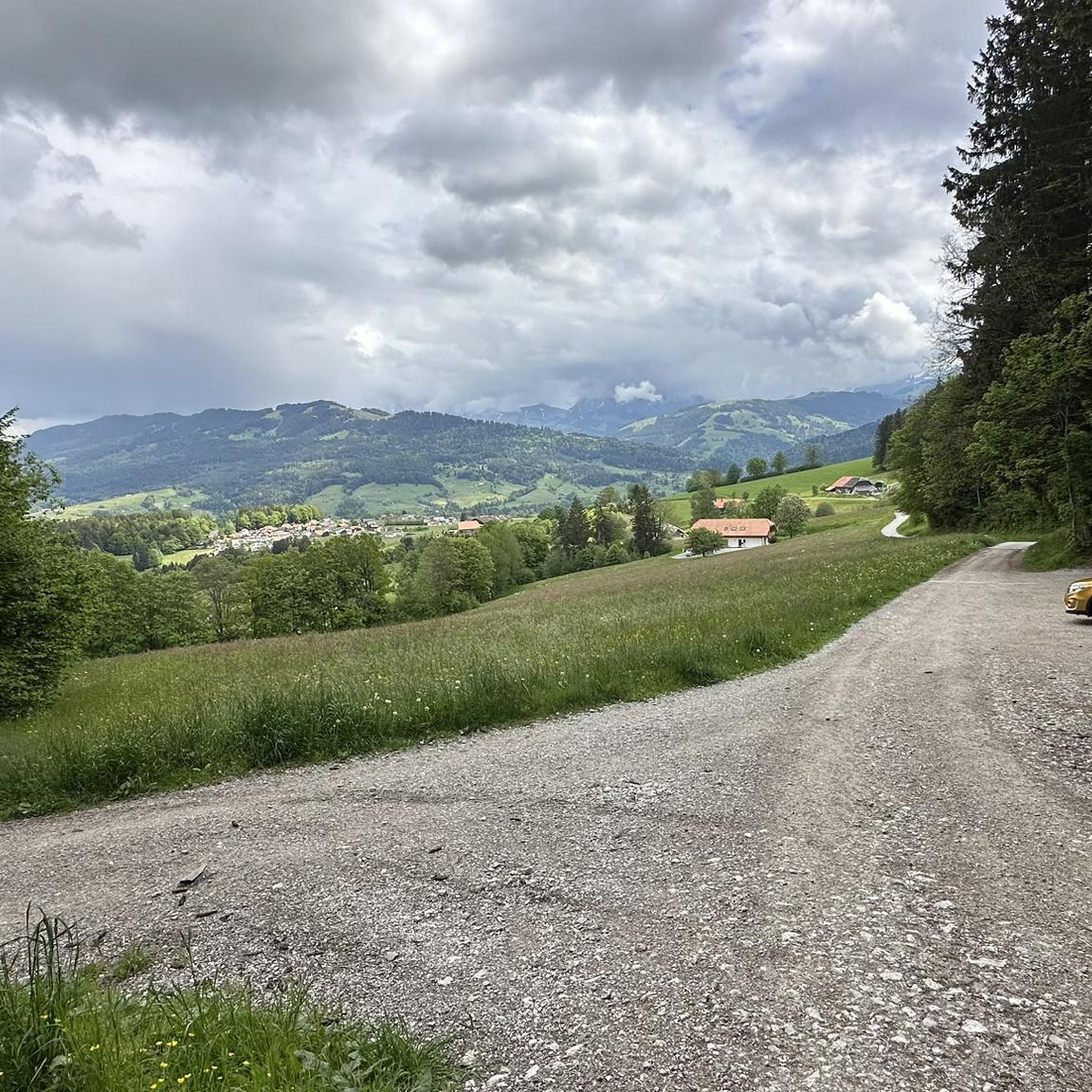
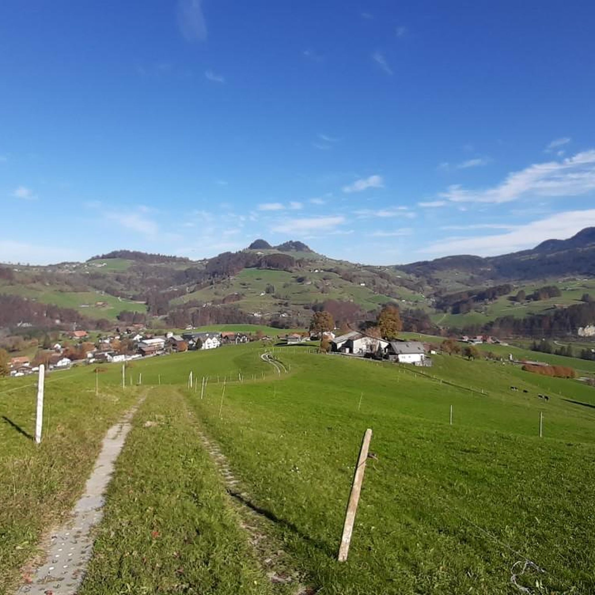
Hiking around Brünisried offers diverse landscapes within the Fribourg Prealps, a region characterized by mountainous terrain, dense forests, and expansive agricultural lands. The area provides a mix of challenging ascents and more leisurely routes through valleys and along rivers. Hikers can experience varied topography, from scenic plateaus to areas with limestone cliffs, forming a natural border between linguistic regions.
Best hiking trails around Brünisried
- The most popular hiking route is Trail Along the Sense River – View of the Sense River Valley loop from Plaffeien, a 4.0 miles (6.5 km) trail that takes 1 hour 46 minutes to complete. This easy route offers views of the Sense River valley.
- Another top favourite among local hikers is Guggershorn North Side – Vreneli Village, Guggisberg loop from Brünisried, a moderate 6.5 miles (10.5 km) path. This trail features significant elevation gain and leads through varied terrain, including forests and open areas.
- Local hikers also love the Buechechäppeli Chapel – St. Anthony the Hermit Chapel loop from Plaffeien, a 2.7 miles (4.4 km) trail leading through forests, often completed in about 1 hour 14 minutes.
- Hiking around Brünisried is defined by the Fribourg Prealps, dense forests, and river valleys. The network offers options for different ability levels, from easy walks to more challenging routes with considerable elevation changes.
- The routes in Brünisried are highly rated by the komoot community with an average score of 4.6 stars from over 1600 reviews. More than 13000 hikers have used komoot to explore Brünisried's varied terrain.
Last updated: September 30, 2026
4.3
(4)
29
hikers
Easy hike. Great for any fitness level. Easily-accessible paths. Suitable for all skill levels.
5.0
(2)
11
hikers
10.5km
03:24
470m
470m
Moderate hike. Good fitness required. Easily-accessible paths. Suitable for all skill levels.

5.0
(4)
16
hikers
Moderate hike. Good fitness required. Easily-accessible paths. Suitable for all skill levels.
6
hikers
14.3km
04:04
310m
310m
Moderate hike. Good fitness required. Easily-accessible paths. Suitable for all skill levels.
1.0
(1)
9
hikers
10.6km
03:02
240m
240m
Moderate hike. Good fitness required. Easily-accessible paths. Suitable for all skill levels.
Get access to more routes and recommendations from other explorers.
Already have an account?
Our route recommendations are based on thousands of hikes, rides, and runs completed by other people on komoot.
Start today with a free account
Your next adventure awaits.
Tips from the Community

The offer can be booked for the following dates: 27 to 30 August 2026 1 to 4 October 2026 15 to 18 October 2026 https://gravelup.earth/en/destinations/swiss-alps-de?utm_source=komoot&utm_medium=partner&utm_campaign=swiss-alps-2026
3
0
3 Nights – 3 Rides Discover the Gantrisch Nature Park on an all-inclusive gravel bike vacation in a small group. You’ll be accompanied by certified guides and a support vehicle, allowing you to be worry-free—we’ll take care of everything. Spend four days in the heart of the Gantrisch Nature Park. We’ll ride our gravel bikes through dense forests and deep gorges, explore lush green valleys and climb high into the Bernese Pre-Alps. We’ve found an authentic inn in the nature park – the perfect base camp to discover the region’s hidden treasures. Be enchanted by the harmony of the landscapes, the tranquility of traditional villages and the vastness of the surrounding peaks. Whether you’re a gravel enthusiast, love active adventures, or simply want to escape everyday life, this long cycling weekend is an invitation to take a deep breath, ride and marvel. ✨ The team’s favorite moment: the ride along the mountain ridges with breathtaking views of the Pre-Alps and all the way to the Swiss Jura… before we enjoy a well-deserved plate of rösti at the end of the day.
2
0

Something polished to a high gloss, but nice atmosphere.
0
0

Located in the heart of the Gantrisch Nature Park lies the Vreneli Village, known from the famous folk song "Vreneli ab em Guggisberg." On the Vreneli Trail, you can discover the story of Vreneli, take a glimpse into a bygone era in the village museum, stroll through the old village center, or simply enjoy the unique atmosphere. Those who come here are immersed in a world full of stories, rolling hills, and authentic hospitality.
0
0

A beautiful viewpoint that you have to earn (steep stairs to the viewpoint). It's quite busy on weekends when the weather is nice.
0
0

The Vreneli Museum in Guggisberg is located in a traditional little house next to the church and is dedicated to the history of the famous folk song "Vreneli ab em Guggisbärg", which is considered the oldest known Swiss folk song. It was first mentioned in 1741. The exhibition, by appointment only!, theres.aebischer@bluewin.ch or Mobile 078 847 27 10, also shows traditional Guggisberg costumes, antique everyday objects and tells the tragic love story of Vreneli and her Hans-Joggeli, who has moved away. Spoiler alert! s Vreneli dies of lovesickness 💔
0
0

Guggisberg is a small Alpine village in the Bernese Mittelland. The village center is surrounded by old, traditional farmhouses, some of which are magnificently decorated.
1
0

Very pretty, well-kept village. The water from the village fountain is very refreshing
0
0
Frequently Asked Questions
How many hiking trails are available around Brünisried?
There are over 400 hiking routes in and around Brünisried, offering a wide range of options for different skill levels and preferences. The komoot community has explored more than 13,000 of these routes.
What kind of terrain can I expect on hikes near Brünisried?
Hikes around Brünisried feature diverse landscapes within the Fribourg Prealps. You'll encounter a mix of mountainous terrain, dense forests, and expansive agricultural lands, including pastures and flower meadows. The varied topography provides scenic experiences, from challenging ascents to leisurely strolls through valleys and along rivers, with some areas featuring impressive limestone cliffs.
Are there easy hiking options suitable for families in Brünisried?
Yes, Brünisried offers many easy hiking options, with over 180 routes classified as easy. A good choice for families is the Buechechäppeli Chapel – St. Anthony the Hermit Chapel loop from Plaffeien, a 4.4 km trail through forests that takes about 1 hour 15 minutes to complete.
Can I bring my dog on hikes in Brünisried?
Generally, dogs are welcome on hiking trails in the Brünisried region. However, it's always advisable to keep dogs on a leash, especially in agricultural areas, near livestock, or in nature reserves. Be sure to check local signage for any specific restrictions.
Are there any circular hiking routes in the area?
Yes, many routes around Brünisried are circular, allowing you to start and end at the same point. An example is the Trail Along the Sense River – View of the Sense River Valley loop from Brünisried, a moderate 9 km path that offers views of the river valley.
What are some notable natural features or landmarks to see while hiking?
While hiking around Brünisried, you can explore various natural features and landmarks. The region is known for its picturesque Fribourg Prealps and river valleys. You might encounter highlights such as the Gäggersteg Elevated Walkway, or enjoy views from summits like Guggershorn Summit and Viewpoint. The wider Fribourg Prealps also feature typical alp huts and flower meadows.
How can I get to the hiking trails in Brünisried using public transport?
Brünisried is accessible by public transport, typically via bus connections from larger towns in the Fribourg canton. Check local bus schedules to plan your journey to Brünisried or specific trailheads. Some routes, like those starting from Plaffeien, are also reachable by public transport.
Is there parking available near the trailheads?
Yes, parking is generally available in Brünisried and near popular trailheads. Look for designated parking areas in the village or at common starting points for hikes. Some smaller, more remote trailheads might have limited parking, so it's good to plan ahead.
What is the best time of year to go hiking in Brünisried?
The best time for hiking in Brünisried is typically from late spring to early autumn (May to October). During these months, the weather is generally mild, and the trails are clear of snow. Spring brings blooming flower meadows, while autumn offers vibrant foliage. Some lower-elevation trails may be suitable for winter hiking, but conditions can vary.
Are there any challenging hikes for experienced trekkers?
Yes, Brünisried offers challenging routes for experienced hikers, with 29 routes classified as difficult and over 200 as moderate. The Fribourg Prealps feature considerable elevation changes. For a moderate challenge, consider the Biber Lake – Buechechäppeli Chapel loop from Brünisried, a 14.2 km route with over 300 meters of elevation gain.
Where can I find places to eat or stay near the hiking trails?
Brünisried and the surrounding villages offer various options for refreshments and accommodation. You can find local restaurants and guesthouses. For example, the Gantrischli Mountain Restaurant is a highlight in the nearby peaks area, offering a place to stop and eat.
What do other hikers say about the trails in Brünisried?
The hiking trails in Brünisried are highly rated by the komoot community, with an average score of 4.6 stars from over 1,600 reviews. Hikers often praise the diverse landscapes, the mix of forest and open areas, and the well-maintained paths that offer stunning views of the Fribourg Prealps and river valleys.
Are there longer, multi-day hiking opportunities from Brünisried?
Yes, Brünisried can serve as a starting point or a segment along longer routes. The renowned Freiburger Voralpenweg (Freiburg Prealps Route) is a significant long-distance trail that extends over five days and covers approximately 72.6 km, leading through diverse landscapes and eventually reaching the Gruyère region. This route offers a comprehensive experience of the Fribourg Prealps.
Most popular routes around Brünisried
Most popular attractions around Brünisried

Get inspired with the komoot mobile app


Explore more
Browse the best Hikes in other regions.
