The best cycling routes around Réserve Naturelle des Ballons Comtois
4.4
(600)
18,694
riders
187
rides
Touring cycling routes around Réserve Naturelle des Ballons Comtois traverse a landscape characterized by extensive beech-fir forests, narrow valleys, and prominent mountain ranges. The reserve features peaks like the Ballon de Servance (1216m) and the Ballon d'Alsace (1247m), offering varied elevations. Ancient glacial cirques and open mountain pastures known as "chaumes" add to the diverse terrain.
Best touring cycling routes around Réserve Naturelle des Ballons Comtois
- The most popular touring cycling route is La Planche des Belles Filles – Top…
Last updated: October 15, 2026
4.0
(1)
25
riders
19.0km
01:30
480m
480m
Hard bike ride. Very good fitness required. Mostly paved surfaces. Suitable for all skill levels.
5.0
(4)
12
riders
15.9km
01:20
520m
510m
Hard bike ride. Very good fitness required. Mostly paved surfaces. Suitable for all skill levels.

5.0
(1)
1,036
riders
43.3km
03:14
1,020m
1,020m
Hard bike ride. Very good fitness required. Mostly paved surfaces. Suitable for all skill levels.
5.0
(3)
42
riders
55.3km
04:18
1,410m
1,410m
Hard bike ride. Very good fitness required. You may need to push your bike for some segments of this route.
5.0
(1)
30
riders
36.8km
02:41
790m
790m
Hard bike ride. Very good fitness required. Mostly paved surfaces. Suitable for all skill levels.
Get access to more routes and recommendations from other explorers.
Already have an account?
Our route recommendations are based on thousands of hikes, rides, and runs completed by other people on komoot.
Start today with a free account
Your next adventure awaits.
Popular around Réserve Naturelle des Ballons Comtois

From the Vosges to the Jura mountains – Hexatrek, le Grand Est
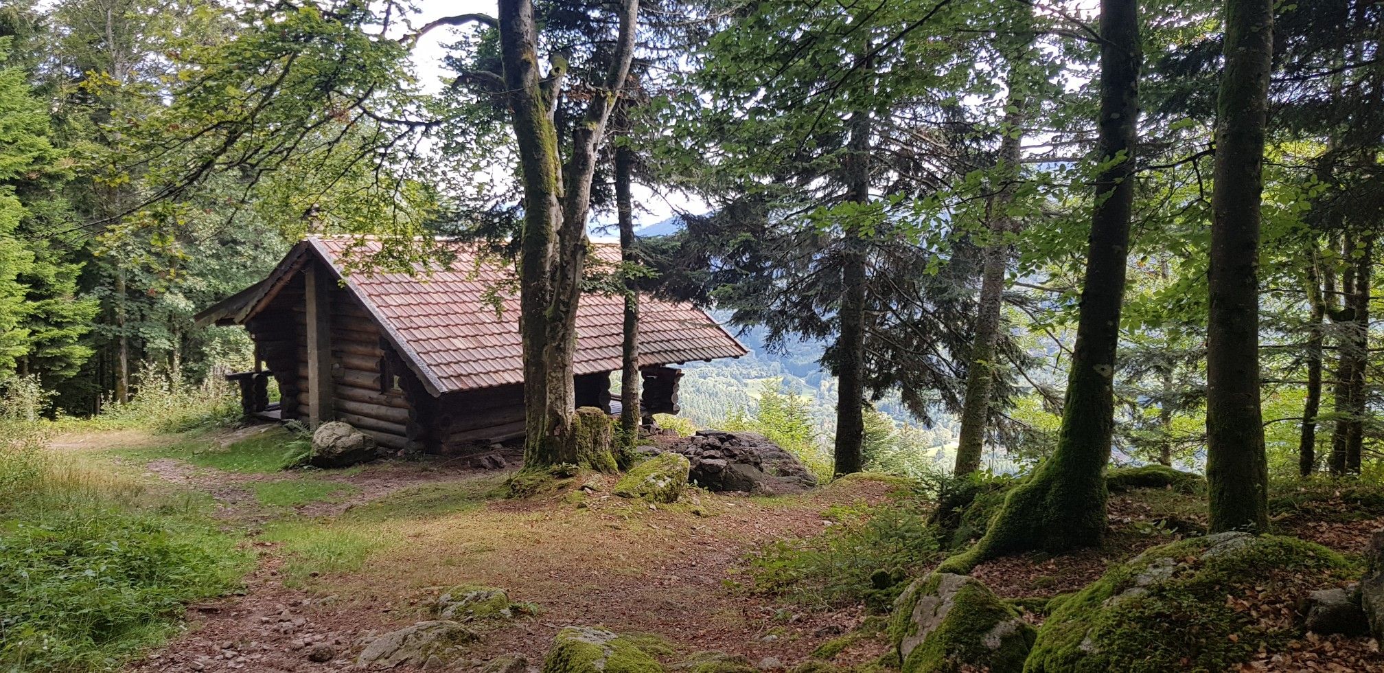
Hiking for Ballon lovers – Tour du Ballon d'Alsace in France

Legendary passes of the Tour de France
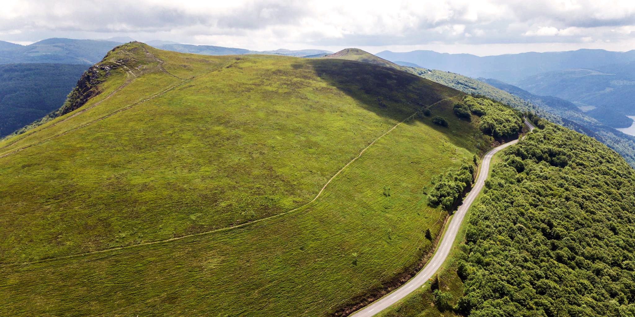
Beautiful passes In the Vosges Mountains
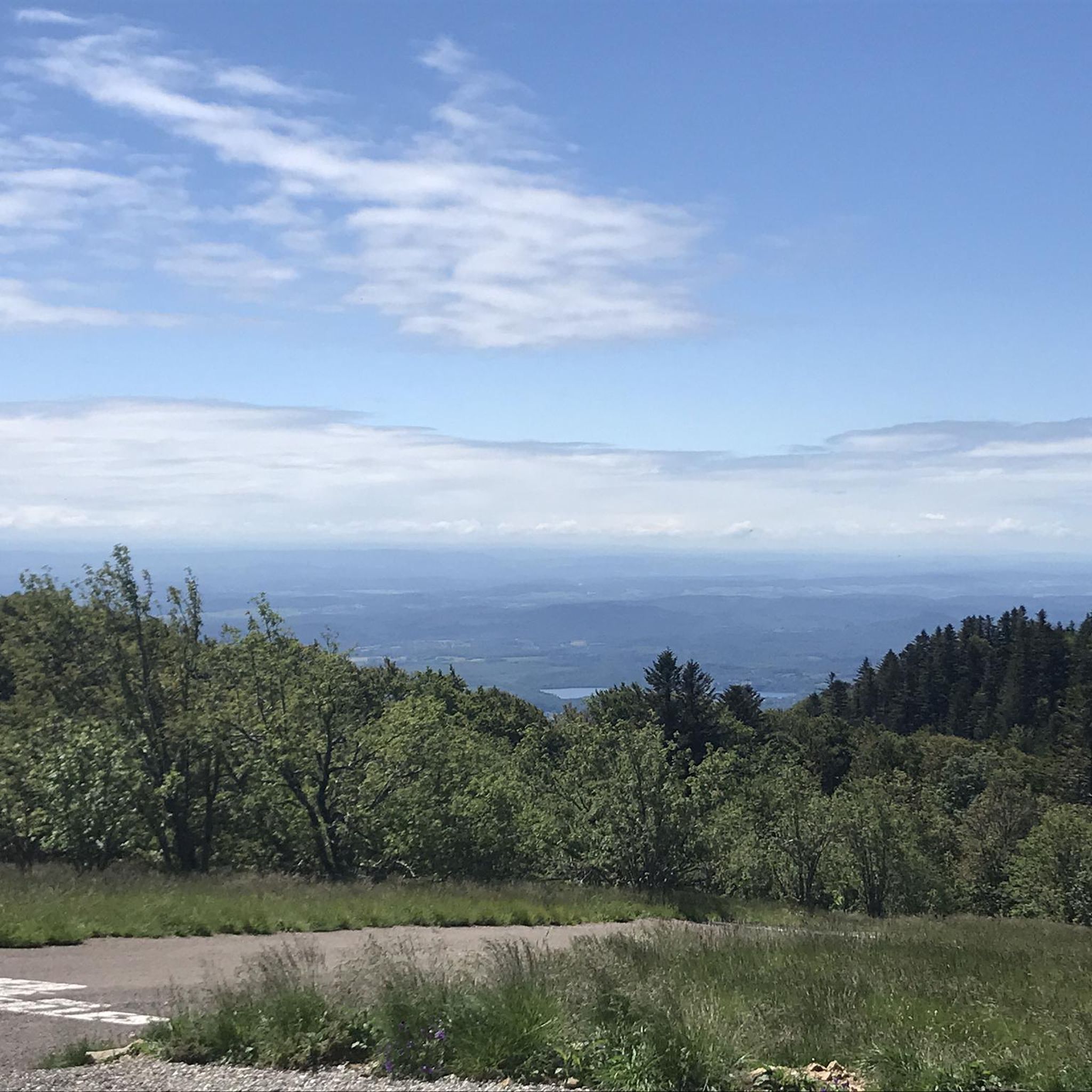
Road Cycling Routes around Réserve Naturelle des Ballons Comtois
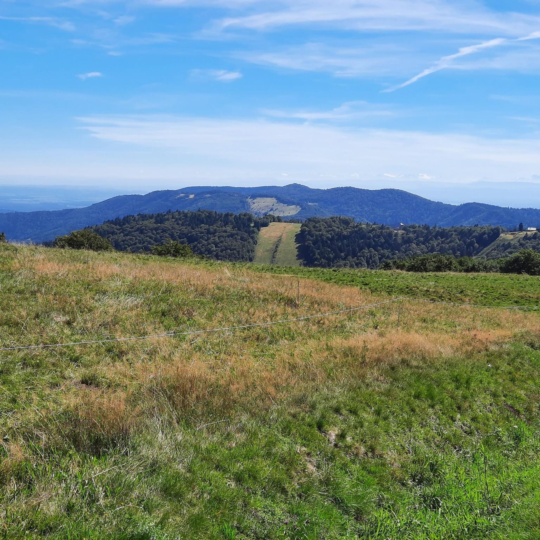
Running Trails around Réserve Naturelle des Ballons Comtois
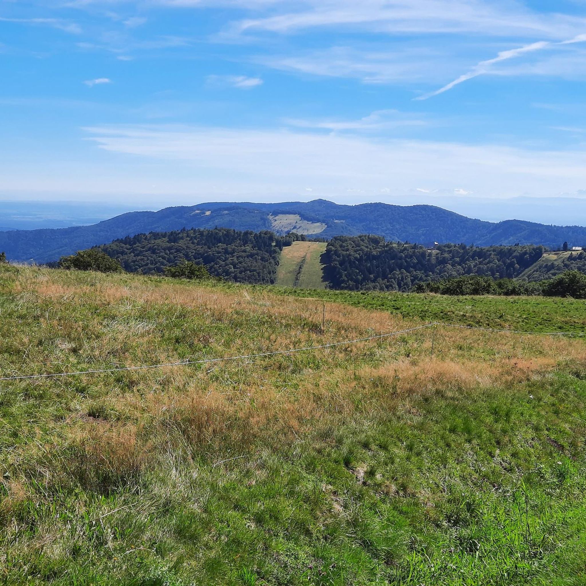
Hiking around Réserve Naturelle des Ballons Comtois
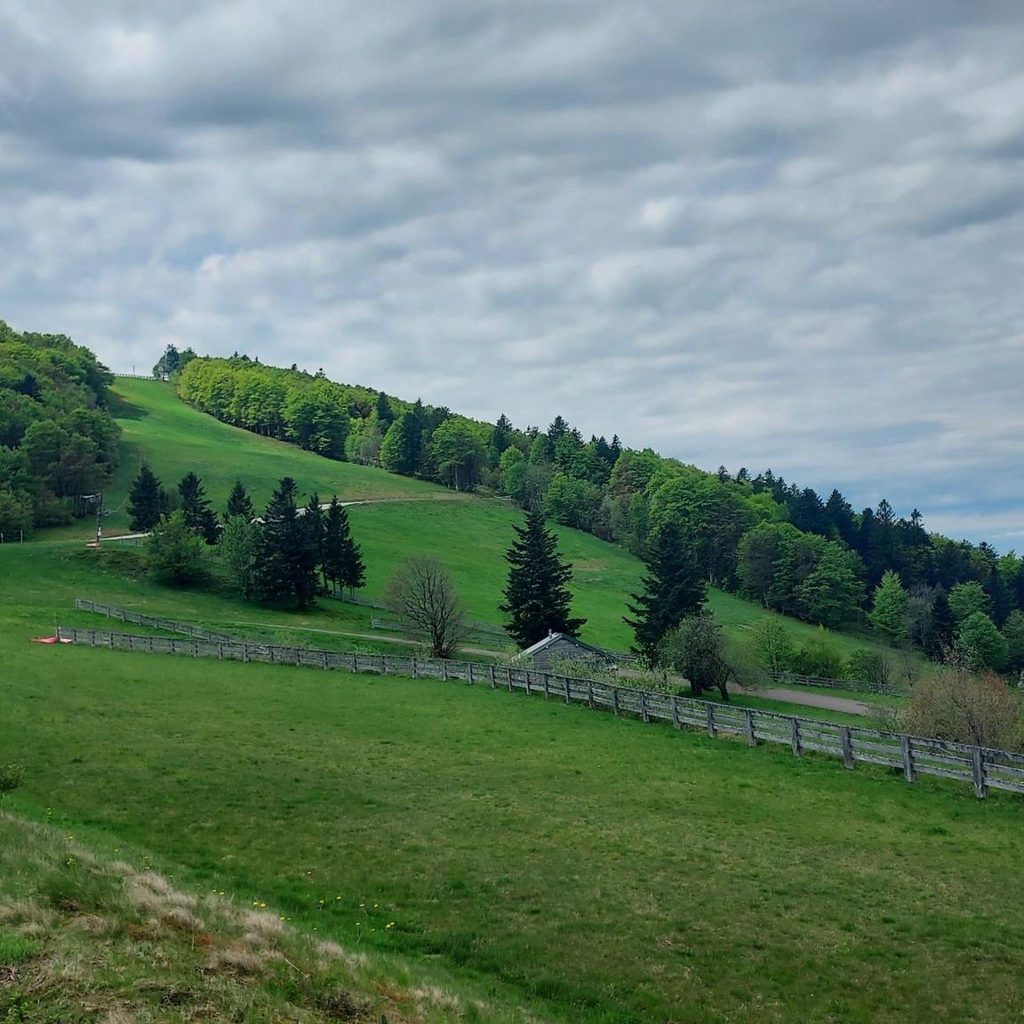
MTB Trails around Réserve Naturelle des Ballons Comtois
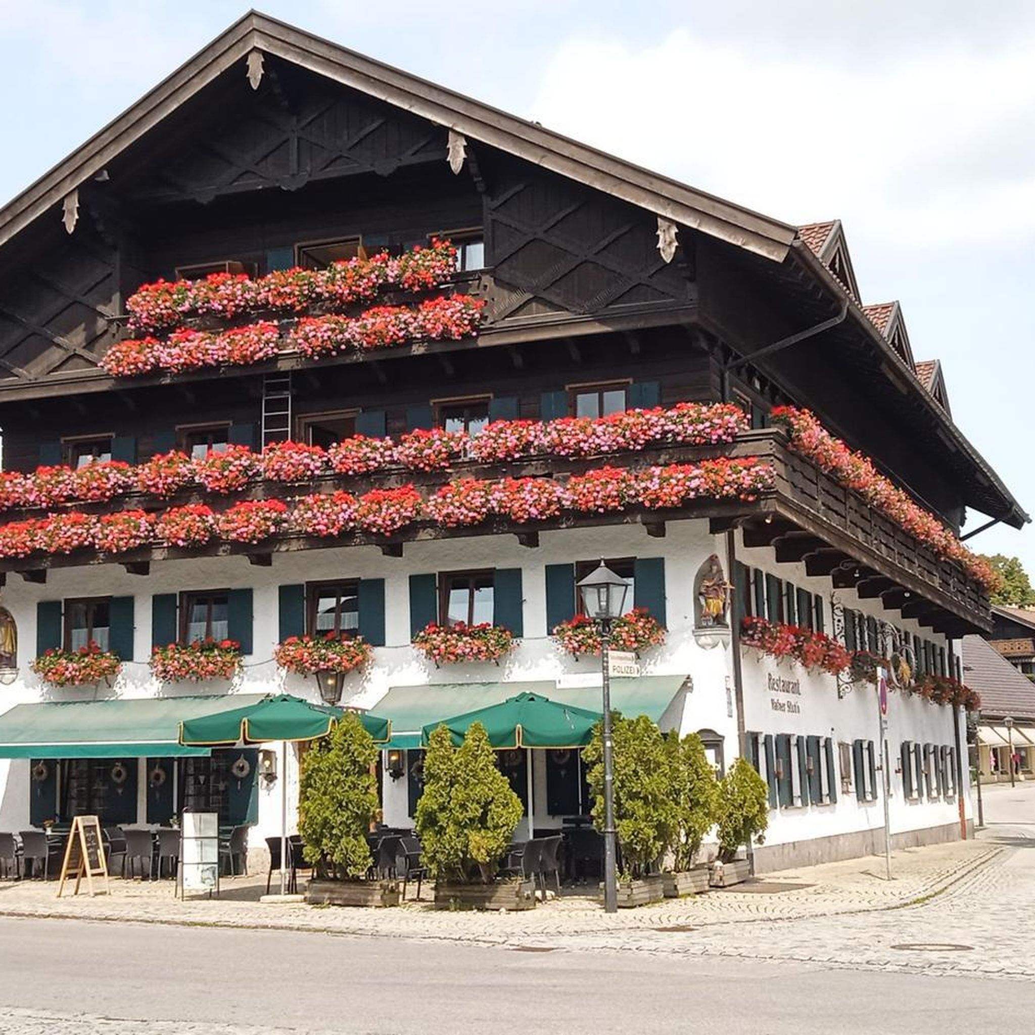
Gravel biking around Réserve Naturelle des Ballons Comtois
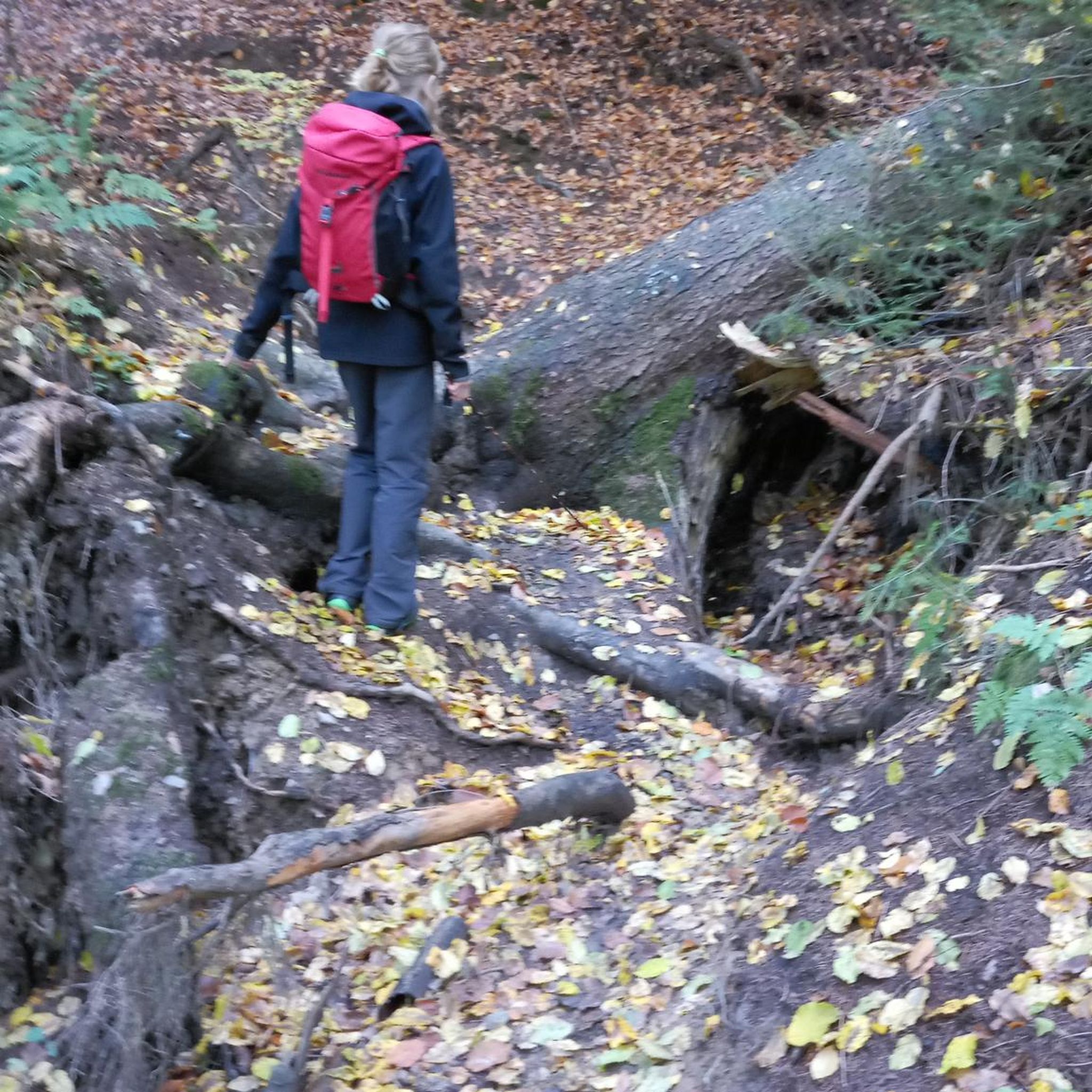
Mountain Hikes around Réserve Naturelle des Ballons Comtois
Other adventures around Réserve Naturelle des Ballons Comtois


Tips from the Community

The center of Le Thillot lies in the valley of the Moselle and forms a small but lively village heart. On the Place du 8 Mai stands the 19th-century Église Saint-Jean-Baptiste, surrounded by bakeries, cafés, and local shops. It is a compact, well-organized center with a mix of Vosges architecture, daily amenities, and a quiet village atmosphere. The bakery facade caught my attention.
7
0
The former train station of Le Thillot (la gare du Thillot) is a historic monument that played a central role in the region's transformation. Opened in 1879 on the railway line between Épinal and Bussang, the SNCF definitively closed the station in 1989. The building has been completely renovated and now houses the Maison des Hautes‑Mynes, the visitor center for the historic copper mines. The former railway bed has been transformed into the Voie Verte des Hautes‑Vosges, a car-free cycle path connecting Remiremont with Bussang. Directly next to the station also starts the Voie du Tacot, an educational route along the old narrow-gauge railway line.
7
0
De Col des Croix is a 679-meter-high mountain pass in the French Vogezen massif, located on the border of the Vosges and Haute-Saône departments. The pass forms an accessible connecting road (the D486) between the northern Le Thillot and the southern Servance. At the top, you will find the well-known Le Chalet Snack du Col des Croix, and the road splits towards the D16 (Route des Forts), the route that continues to the higher Ballon de Servance.
6
0
La Planche des Belles Filles is a 5.8 kilometer climb. It is a category 1 climb. It is located in Plancher Les Mines, Franche-Comté, France. The average gradient of this climb is 8.6% with a maximum of 13.6%. La Planche des Belles Filles climbs from 527 meters at the start to 1,033 meters at the summit, for a total elevation gain of 506 meters.
7
0
This 5.9-kilometer climb from the village of Plancher-les-Mines in Haute-Saône is one of the most difficult in the Vosges. Indeed, cyclists who want to try it will need to be at least somewhat trained. With a gradient of 24% towards the end of the route, it's better to be well-attached. The gradient never seems to ease, with its hairpin bends and, upon reaching the resort, the last 2 kilometers rise like a wall. However, you'll be able to say that you've done it, so come and try the climb of La Planche too!
8
0

Beautiful building in Bussang
0
0
We now follow the Moselradweg to Koblenz
0
0

This is the ideal place in Bussang to park your car and start a hike.
0
0
Frequently Asked Questions
What is the overall difficulty level for touring cycling routes in Réserve Naturelle des Ballons Comtois?
The Réserve Naturelle des Ballons Comtois offers a challenging touring cycling experience. Out of 187 routes, 115 are rated as difficult, 53 as moderate, and 19 as easy. This indicates a landscape with significant elevation changes and demanding ascents, characteristic of the Vosges massif.
What kind of natural features can I expect to see while cycling in the reserve?
Cyclists will primarily traverse dense beech-fir forests, which cover about 95% of the reserve. The routes also feature narrow, steep valleys, ancient glacial cirques, and impressive waterfalls. You might also encounter fragile peat bogs and open mountain pastures known as 'chaumes', adding to the diverse scenery.
Are there any iconic climbs or viewpoints accessible by touring bike?
Yes, the region is known for its prestigious mountain passes. The La Planche des Belles Filles is a well-known climb, and the Ballon de Servance (1216m) and Ballon d'Alsace (1247m) offer magnificent panoramic views of the Vosges mountain range and, on clear days, even the distant Alps. The Ballon d'Alsace Pass – Alfeld Lake loop from Col du Ballon d'Alsace is a great option to experience the Ballon d'Alsace and the scenic Alfeld Lake.
What do other touring cyclists say about their experience in Réserve Naturelle des Ballons Comtois?
The routes in Réserve Naturelle des Ballons Comtois are highly rated by the komoot community, with an average score of 4.5 stars from over 500 reviews. Many touring cyclists praise the challenging mountain passes, the tranquil environment amidst dense forests, and the diverse terrain that offers both demanding ascents and picturesque valleys.
Are there any family-friendly touring cycling routes in the reserve?
While many routes are challenging, there are 19 routes rated as easy, which may be suitable for families or those seeking a more relaxed ride. The broader Ballons des Vosges Natural Park, which co-manages the reserve, offers a range of circuits from family-friendly paths to more challenging itineraries. It's advisable to check individual route details for elevation and distance to ensure suitability for all family members.
Can I bring my dog on touring cycling routes in the Réserve Naturelle des Ballons Comtois?
When cycling with dogs in a National Nature Reserve, it's crucial to respect local regulations to protect wildlife. While specific rules for dogs on cycling routes aren't detailed, visitors are generally encouraged to stay on marked trails, especially between December 15th and July 14th, to protect sensitive wildlife during crucial periods. Always keep dogs on a leash and ensure they do not disturb the natural environment.
What is the best time of year to go touring cycling in the Réserve Naturelle des Ballons Comtois?
The region is ideal for touring cycling during the warmer months, typically from spring to autumn, when the weather is more stable and the mountain passes are clear of snow. During winter, skiing and snowshoeing are popular, and some routes may be inaccessible or require specific winter gear. Always check local weather conditions before planning your trip.
Are there options for circular touring cycling routes?
Yes, many routes in the area are designed as loops. For example, the La Planche des Belles Filles – Top loop from Planche des Belles Filles and the Top – Nice gravel section loop from Planche des Belles Filles are popular circular options, allowing you to start and finish at the same point.
Where can I find parking for touring cycling routes in the Réserve Naturelle des Ballons Comtois?
Parking is generally available near popular starting points for routes, especially at major passes or villages bordering the reserve. For instance, routes often begin from areas like Planche des Belles Filles or Col du Ballon d'Alsace, where parking facilities are typically provided for visitors accessing the trails and attractions.
Are there any specific regulations or permits required for cycling in the reserve?
As a National Nature Reserve, certain regulations are in place to protect the environment. While general cycling on marked trails is permitted, activities like off-road motor vehicles, camping, and fires are prohibited. It's always recommended to stay on designated trails. For detailed regulations, you can consult official sources like the Ballons des Vosges Regional Natural Park or the French Ministry of Ecological Transition website for the Grand Est region: grand-est.developpement-durable.gouv.fr.
What are some other notable attractions or landmarks to explore near the cycling routes?
Beyond the main peaks, you can explore other significant points of interest. The Chevrères Pass is another challenging climb. You might also find the Sailley Refuge and Fountain on the Ballon de Servance to be an interesting stop. The region is rich in natural beauty and offers many opportunities to discover its unique landscapes.
Can I access the Réserve Naturelle des Ballons Comtois by public transport with my bike?
Public transport options directly into the heart of the reserve with bike carriage might be limited due to its protected nature and mountainous terrain. However, regional train services (TER) in the Bourgogne-Franche-Comté and Grand Est regions often allow bikes, especially outside peak hours. You would likely need to cycle from a nearby town or station to reach the reserve's cycling routes. It's best to check specific train line policies and bus routes in advance.
Most popular routes around Réserve Naturelle des Ballons Comtois
Most popular attractions around Réserve Naturelle des Ballons Comtois

Get inspired with the komoot mobile app


Explore more
Browse the best Cycling routes in other regions.
