The best MTB trails around Sierra De Aralar
4.5
(51)
664
riders
47
rides
Mountain biking around Sierra De Aralar offers diverse terrain characterized by dramatic karst formations and extensive beech forests. The region features numerous mountain peaks and plateaus, alongside vast pastoral lands where traditional sheep grazing occurs. Rivers and streams crisscross the area, contributing to varied ecosystems and providing a mix of natural paths and forest roads for mountain bikers. This landscape provides a range of challenges, from technical descents to more flowing trails.
Best mountain bike trails around Sierra De Aralar
…Last updated: October 2, 2026
4.5
(11)
51
riders
32.5km
02:39
610m
610m
Moderate mountain bike ride. Good fitness required. Suitable for all skill levels.
5.0
(2)
35
riders
43.2km
04:02
940m
940m
Hard mountain bike ride. Very good fitness required. Advanced riding skills necessary.

3.0
(1)
40
riders
47.3km
03:51
730m
730m
Moderate mountain bike ride. Good fitness required. Suitable for all skill levels.
5.0
(2)
31
riders
10.0km
01:02
290m
290m
Hard mountain bike ride. Great for any fitness level. Advanced riding skills necessary. Some portions of the route may require you to push your bike.
5.0
(3)
14
riders
18.9km
01:50
430m
430m
Hard mountain bike ride. Good fitness required. Advanced riding skills necessary. Some portions of the route may require you to push your bike.
Get access to more routes and recommendations from other explorers.
Already have an account?
Our route recommendations are based on thousands of hikes, rides, and runs completed by other people on komoot.
Start today with a free account
Your next adventure awaits.
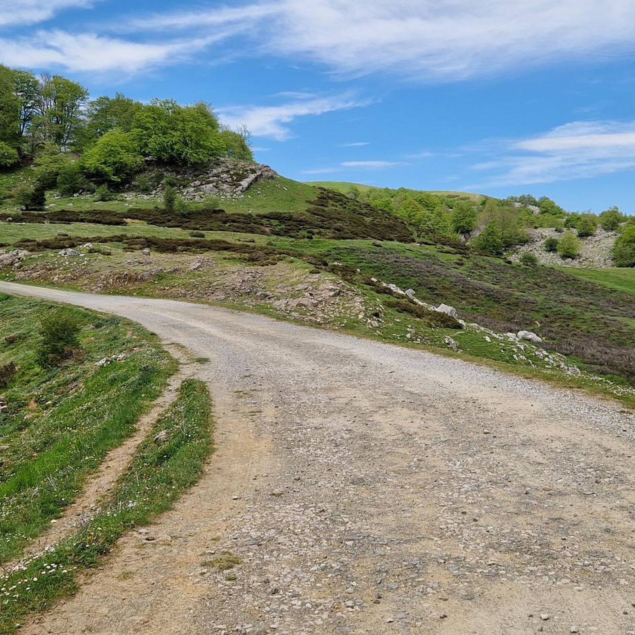
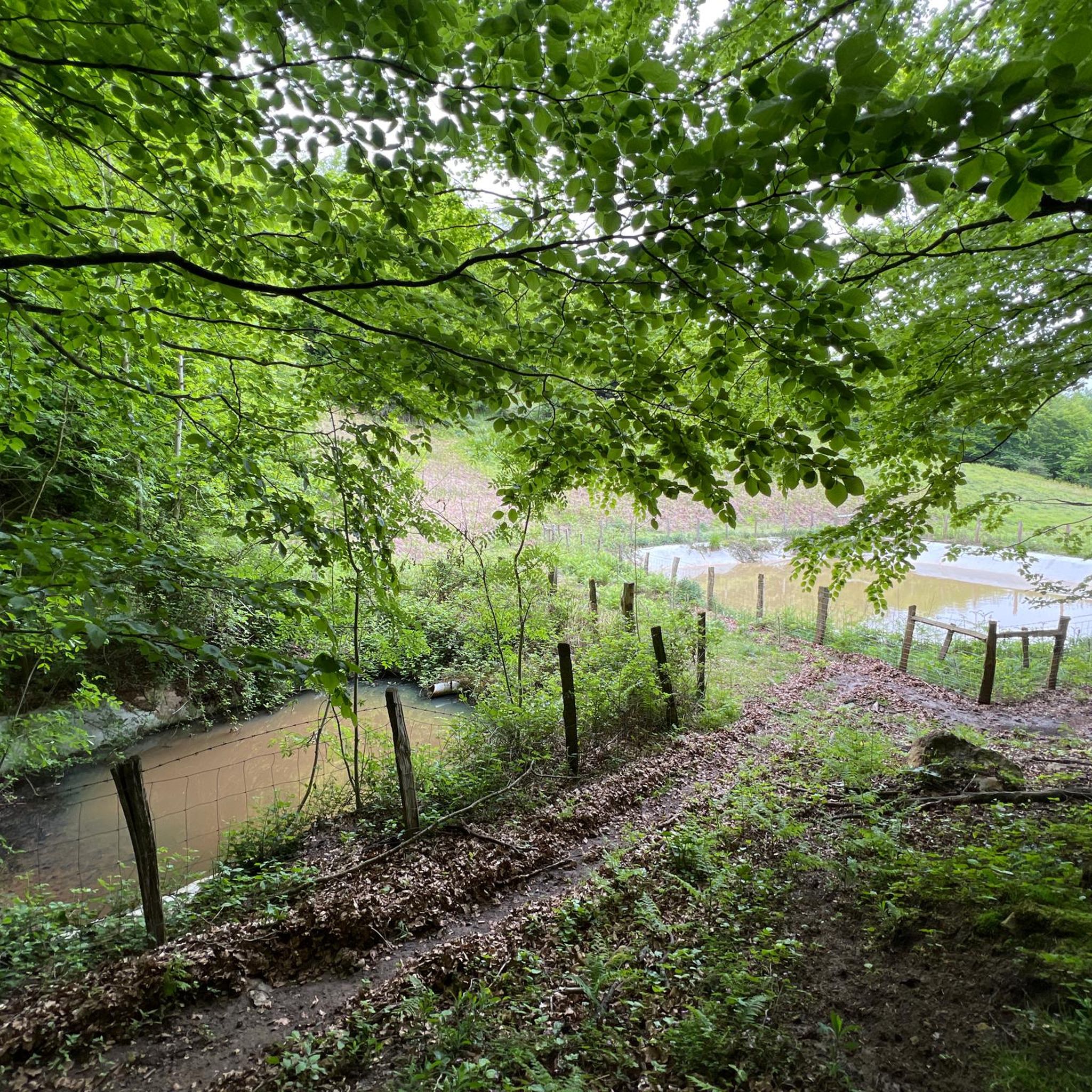
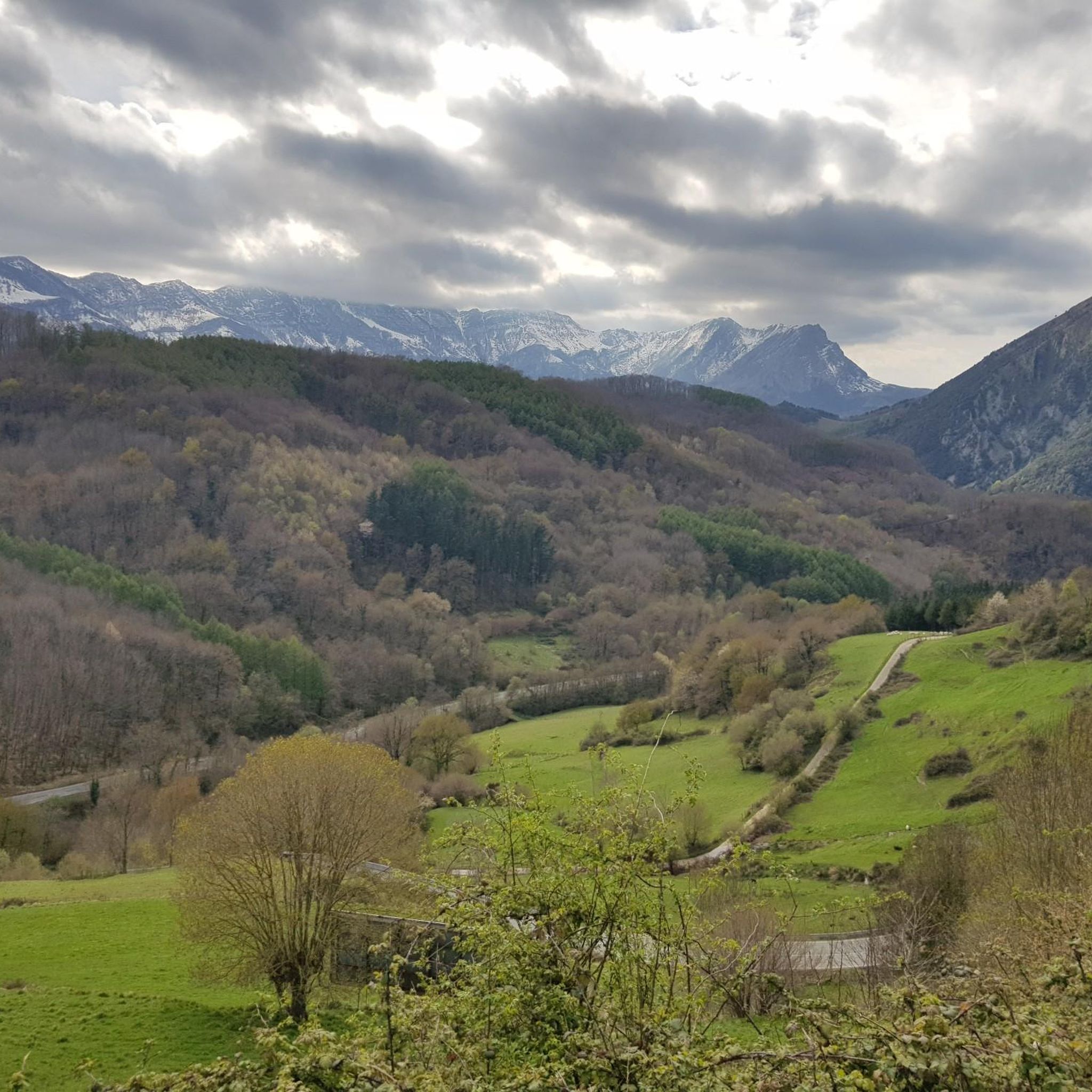
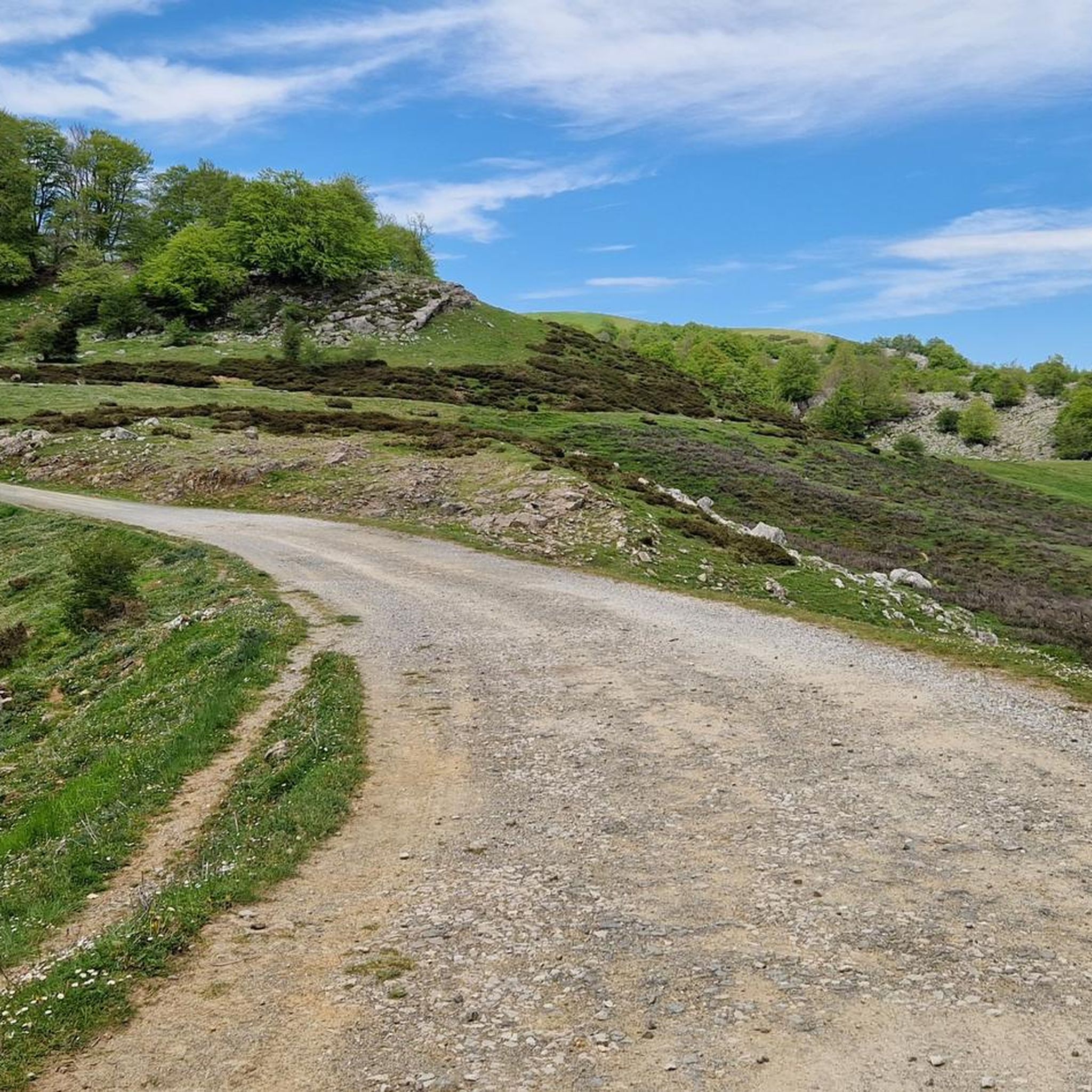

Tips from the Community

In summer, a refreshing dip is guaranteed
0
0

I recommend climbing the last few meters by going around the summit to the right. Last time I went to the left and there was a slightly dangerous section.
2
0

A bar with a view and good food, a good place to stop. Closed Mondays.
0
0

One of the ideal areas to start the Plazaola greenway
0
0

It is important to bring lights for the tunnels and some clothing for the long tunnels, including in summer.
0
0
The 2700m tunnel is impressive and seems to never end. Advice: Bring clothes at least when passing through this tunnel as it is cool. Otherwise there is automatic lighting.
0
0

A must when you pass through this area. Stopping and having a coffee is almost mandatory. 😉
0
0
Frequently Asked Questions
How many mountain bike trails are available in Sierra De Aralar?
Sierra De Aralar offers a diverse network of over 35 mountain bike trails. These routes cater to various skill levels, with 4 easy, 15 moderate, and 19 difficult trails to explore.
What is the best time of year to go mountain biking in Sierra De Aralar?
The region's extensive beech forests and mixed woodlands provide shaded trails, making spring and autumn ideal for mountain biking. During warmer months, these shaded routes are particularly appealing. While the area's humidity ensures evergreen scenery, be prepared for potentially wet and technical conditions, especially on trails like "Mina" and "Gorria Sup" mentioned in regional descriptions.
Are there any family-friendly mountain bike trails in Sierra De Aralar?
Yes, Sierra De Aralar has 4 easy-graded mountain bike trails suitable for families or those looking for a less strenuous ride. These routes often feature forest roads and less technical terrain, allowing for a pleasant experience for all skill levels.
What kind of terrain can I expect on mountain bike trails in Sierra De Aralar?
Sierra De Aralar is characterized by dramatic karst topography, extensive beech forests, and high plateaus. You'll encounter a mix of surfaces, from forest roads and natural paths to more technical descents with rock gardens. The varied landscape ensures diverse challenges and scenic backdrops, including vast mountain heath and pastoral lands.
Are there any circular mountain bike routes in Sierra De Aralar?
Many of the trails in Sierra De Aralar are designed as loops, offering circular routes. For example, the Cantina del Plazaola – View of the Dos Hermanas Gorge loop from Astitz is a moderate 20.1-mile (32.4 km) trail, and the Andia Range loop from Arbizu covers 26.8 miles (43.1 km) through varied landscapes.
What natural features or viewpoints can I see along the mountain bike trails?
The trails offer stunning natural features and viewpoints. You can ride past the Ancient Oak Trees, visit the Ixkier Waterfall, or enjoy views from high points like Txindoki (1,346 m). The region's karst formations and pastoral lands also provide expansive vistas.
Are there any challenging mountain bike routes for experienced riders?
Yes, Sierra De Aralar offers 19 difficult-graded trails for experienced mountain bikers. These routes often feature significant elevation changes and technical sections. An example is the Igaratza Free Shelter – Frantserrekekako Trail loop from Albia, which includes challenging terrain.
What do other mountain bikers say about the trails in Sierra De Aralar?
The mountain bike trails in Sierra De Aralar are highly rated by the komoot community, with an average score of 4.3 stars from over 30 reviews. Over 500 mountain bikers have used komoot to explore the varied terrain, often praising the diverse landscapes and the mix of technical and flowing trails.
Are there any specific landmarks or attractions near the mountain biking routes?
Beyond the trails, you can visit the historic Ermita de San Donato or explore the Megalithic Monuments scattered throughout the area, showcasing a rich pastoral history. The Lizarrusti Interpretation Centre also serves as a key information point for the park.
Are there any places to stop for refreshments or accommodation near the trails?
The Sierra de Aralar region has recreational areas, hostels, and restaurants within and around the park, enhancing the visitor experience. The Lizarrusti Interpretation Centre, for instance, is a good starting point and often has facilities nearby. You might also find local cafes in villages like Astitz or Arbizu, which are common starting points for routes.
What are the typical distances and durations for mountain bike trails in Sierra De Aralar?
Trail distances vary significantly. Moderate routes like the Cantina del Plazaola – View of the Dos Hermanas Gorge loop from Astitz are around 20 miles (32 km) and take about 2 hours 37 minutes. Longer routes, such as the Ancient Oak Trees – Camping Etxarri loop from Etxarri Aranatz, can be up to 28.7 miles (46.1 km) and take closer to 3 hours 45 minutes, depending on your pace and the terrain.
Is public transport available to access the mountain bike trails in Sierra De Aralar?
While specific public transport links directly to all trailheads might be limited, the Lizarrusti Interpretation Centre is a key access point for the park. For detailed information on public transport options to the Sierra de Aralar region, it's advisable to consult local transport authorities or tourist information centers in nearby towns.
Most popular routes around Sierra De Aralar
Most popular attractions around Sierra De Aralar

Get inspired with the komoot mobile app


Explore more
Browse the best MTB trails in other regions.
