The best running trails around Réserve Naturelle de la Grande Sassière
4.1
(34)
7,086
runners
131
runs
Jogging around Réserve Naturelle de la Grande Sassière offers diverse terrain across the French-Italian border, with elevations ranging from 1,798 meters to 3,747 meters. The region features dramatic glacial cirques, alpine pastures, and mineral terrain, characterized by varied geology including quartzites, limestones, and gneiss. This natural reserve provides a range of running experiences, from accessible paths around Lac de la Sassière to challenging high-altitude routes with significant elevation changes.
Best jogging routes around Réserve Naturelle de la Grande Sassière
- The…
Last updated: July 28, 2026
14
runners
13.0km
02:14
550m
550m
Hard run. Very good fitness required. Sure-footedness, sturdy shoes and alpine experience required.
103
runners
17.2km
02:10
460m
460m
Hard run. Very good fitness required. Mostly paved surfaces. Suitable for all skill levels.

Sign up for free
36
runners
49.2km
08:27
2,770m
2,770m
Hard run. Very good fitness required. Sure-footedness, sturdy shoes and alpine experience required.
2.0
(1)
299
runners
10.3km
01:07
150m
150m
Moderate run. Good fitness required. Mostly paved surfaces. Suitable for all skill levels.
20
runners
17.8km
02:34
590m
590m
Hard run. Very good fitness required. Sure-footedness, sturdy shoes and alpine experience required.
Get access to more routes and recommendations from other explorers.
Sign up for free
Already have an account?
Our route recommendations are based on thousands of hikes, rides, and runs completed by other people on komoot.
Start today with a free account
Your next adventure awaits.
Login or Signup
Popular around Réserve Naturelle de la Grande Sassière

High mountain escapades — 15 peaks over 3,000m in the Alps
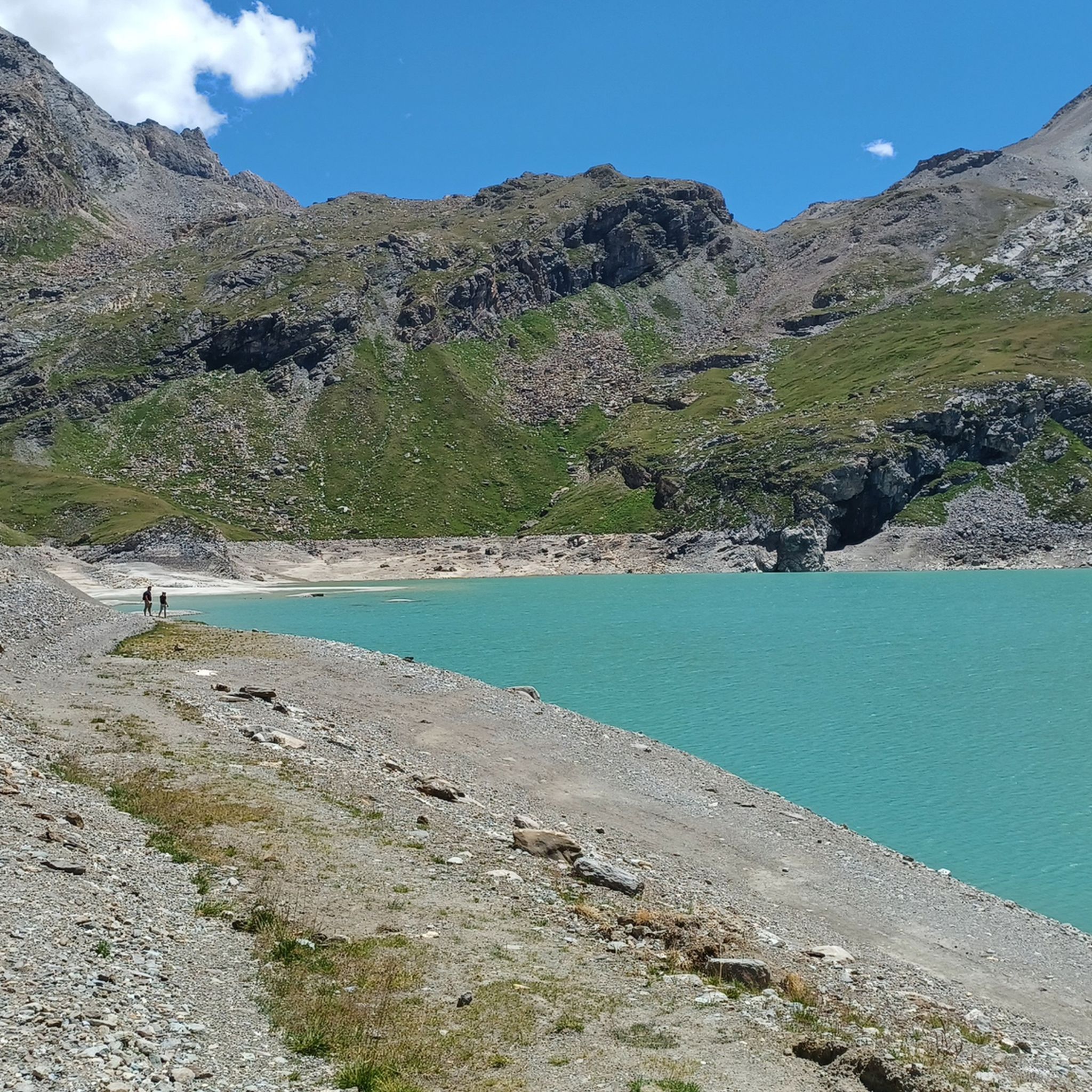
Hiking around Réserve Naturelle de la Grande Sassière
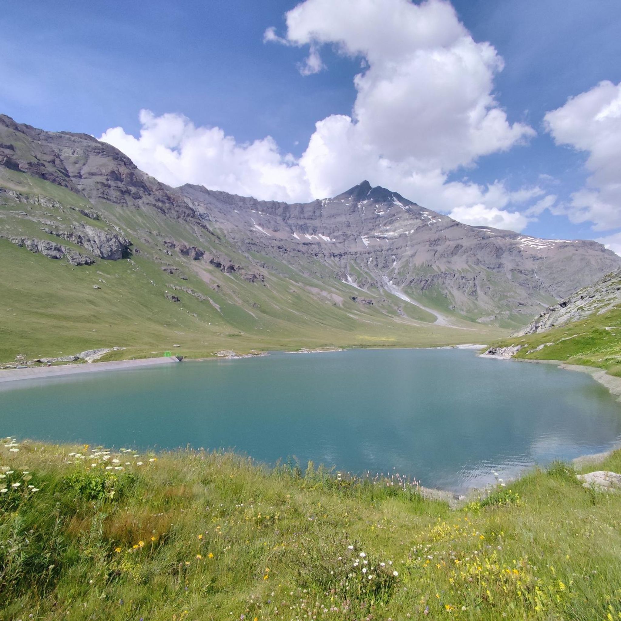
Road Cycling Routes around Réserve Naturelle de la Grande Sassière
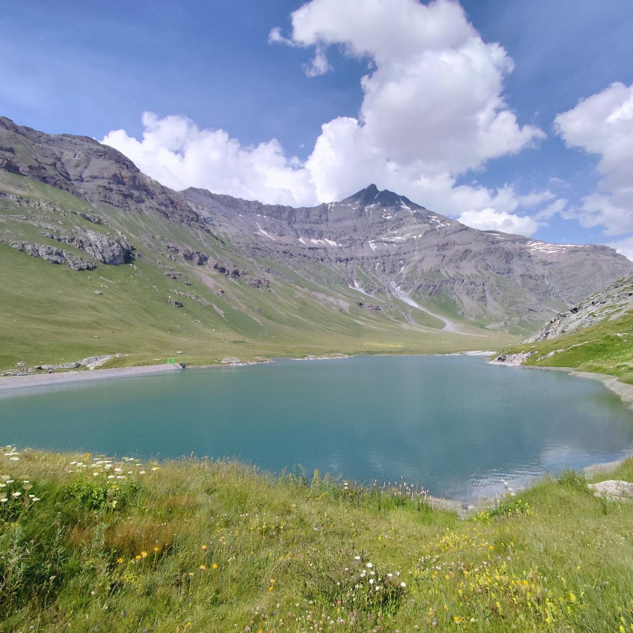
MTB Trails around Réserve Naturelle de la Grande Sassière
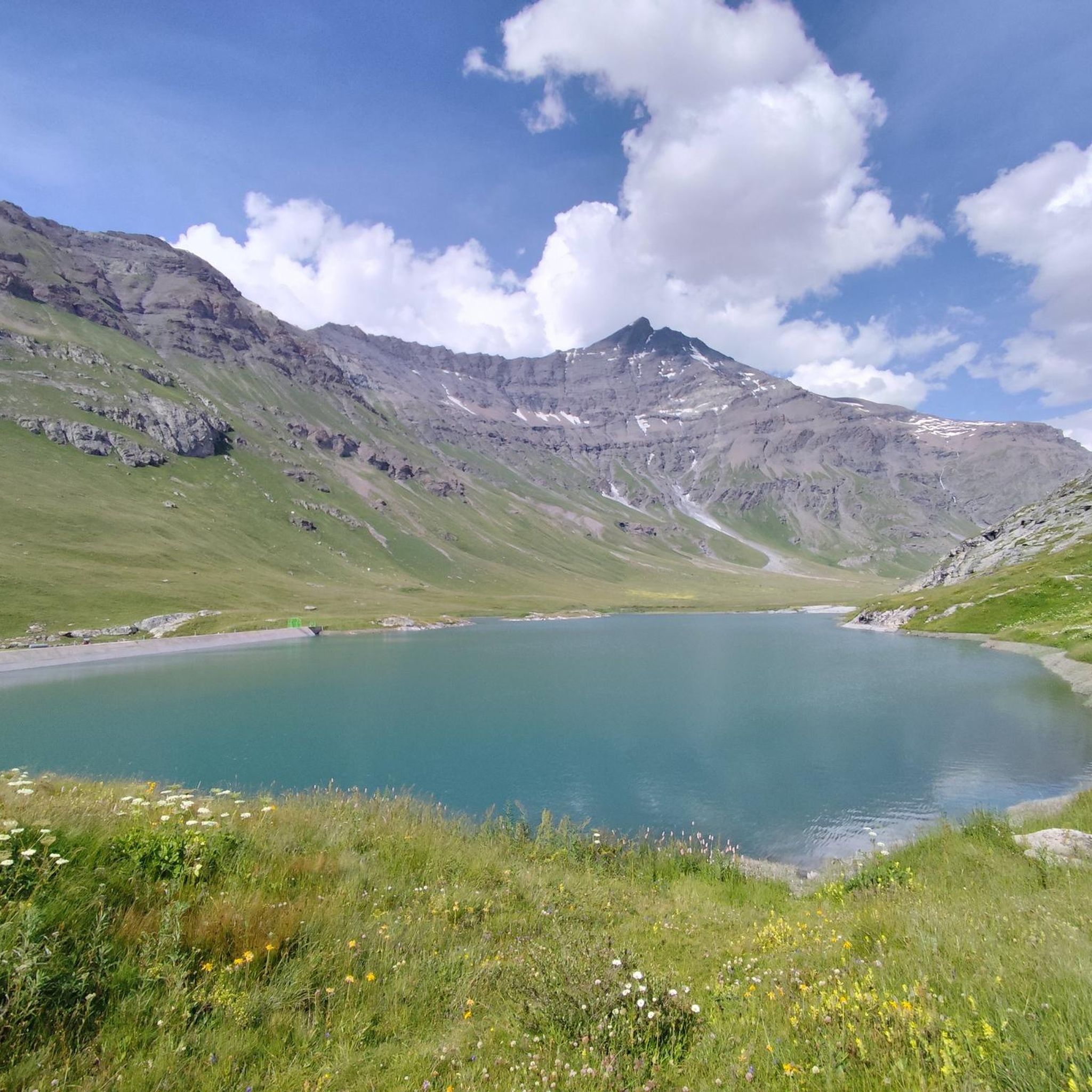
Cycling around Réserve Naturelle de la Grande Sassière

Mountain Hikes around Réserve Naturelle de la Grande Sassière
Other adventures around Réserve Naturelle de la Grande Sassière

Tips from the Community

super mega pretty here
0
0

Beautiful cycle path bordering this lake
0
0

Nice stone bridge, also a toilet at the parking lot beforehand.
0
0
Start of the ascent, the pass is further up later.
0
0
Nice little original village on the pass road
0
0
Nice little town with a beautiful hotel.
2
0
Good start for the pass, not a really nice place.
2
0

Real summer life and activities for all tastes.
0
0
Frequently Asked Questions
What kind of terrain can I expect on running routes in Réserve Naturelle de la Grande Sassière?
The Réserve Naturelle de la Grande Sassière offers a diverse range of terrain, from alpine pastures at lower elevations to more mineral terrain and ridges above 3,000 meters. You'll encounter dramatic glacial cirques, varied geology including quartzites, limestones, and gneiss, and paths winding along streams and glacial lakes. Routes can range from relatively flat, accessible paths to challenging high-altitude trails with significant elevation changes.
Are there any easy running routes suitable for beginners or families?
Yes, for those seeking less strenuous options, the trails around Sassière Lake provide accessible and scenic routes. These paths are generally suitable for families and offer relatively flat terrain with beautiful alpine scenery. While the guide lists 3 easy routes, the majority are moderate to difficult, so look for routes specifically mentioning 'easy' difficulty.
What are some challenging trail running options in the reserve?
For experienced trail runners, the Réserve Naturelle de la Grande Sassière offers demanding high-altitude routes. The ascent to Aiguille de la Grande Sassière, for example, involves significant elevation gain and technical terrain, often cited as one of the highest accessible hikes in Europe without specialized mountaineering gear. Other challenging options include the Lake Sassière – Lake Santel loop from La Daille, which covers 7.8 miles (12.5 km) with over 500 meters of elevation gain, and the The Lost Valley – View of Val-d’Isère loop from Funival, a 10.7-mile (17.2 km) trail through high alpine valleys.
Can I bring my dog on the running trails in Réserve Naturelle de la Grande Sassière?
Yes, you can bring your dog, but it's important to note that due to the reserve's commitment to nature preservation, dogs must be kept on leashes at all times. This helps protect the diverse alpine wildlife, including chamois, ibex, and marmots.
What kind of wildlife might I see while jogging in the reserve?
The Réserve Naturelle de la Grande Sassière is a haven for alpine fauna. While running, you might spot chamois, ibex, and marmots whistling in the valleys. The area also supports populations of rare birds such as bearded vultures, ptarmigans, royal eagles, and rock thrushes.
Are there any notable landmarks or natural features to see along the running routes?
Absolutely! The reserve is rich in natural beauty. You can encounter the iconic Aiguille de la Grande Sassière, the serene Sassière Lake, and the winding The Sassière stream. You'll also pass through dramatic glacial cirques and may even see the terminal tongue of the Rhêmes-Golette Glacier. The Lake du Saut is another beautiful spot to discover.
What is the best time of year for trail running in Réserve Naturelle de la Grande Sassière?
The summer months are generally the best time for trail running in Réserve Naturelle de la Grande Sassière. During this period, the trails are typically free of snow, and the weather conditions are more favorable for high-altitude activities. Some of the highest routes, like the ascent to Aiguille de la Grande Sassière, are only accessible without specialized mountaineering equipment during the summer.
How many running routes are available in Réserve Naturelle de la Grande Sassière?
There are over 130 running routes available in Réserve Naturelle de la Grande Sassière, offering a wide variety of distances and difficulty levels to suit different preferences and fitness levels.
What do other runners enjoy the most about jogging in Réserve Naturelle de la Grande Sassière?
The area is highly rated by the komoot community, with an average score of 4.0 stars from over 35 reviews. Runners often praise the diverse terrain, from accessible paths around Lac de la Sassière to challenging high-altitude routes, and the breathtaking panoramic views of the surrounding French, Italian, and Swiss Alps.
Are there any circular running routes in the Réserve Naturelle de la Grande Sassière?
Yes, many of the running routes in the Réserve Naturelle de la Grande Sassière are designed as loops, allowing you to start and finish at the same point. Examples include the Le Fornet Village – Val d'Isère loop from Funival and the Lake Sassière – Lake Santel loop from La Daille, providing convenient options for your run.
What is the typical elevation gain on running routes in this region?
The elevation gain varies significantly depending on the route. Easier paths around areas like Lac de la Sassière might have minimal gain, while more challenging routes can involve substantial ascents. For instance, the L'Aiguille Percée Natural Arch – Lake Chevril loop from Funival, a very difficult route, features an elevation gain of over 2,900 meters, offering a serious challenge for experienced trail runners.
Most popular routes around Réserve Naturelle de la Grande Sassière
Most popular attractions around Réserve Naturelle de la Grande Sassière

Get inspired with the komoot mobile app


Explore more
Browse the best Running Trails & Routes in other regions.
