The best road cycling routes around Almarza
5.0
(2)
208
riders
15
rides
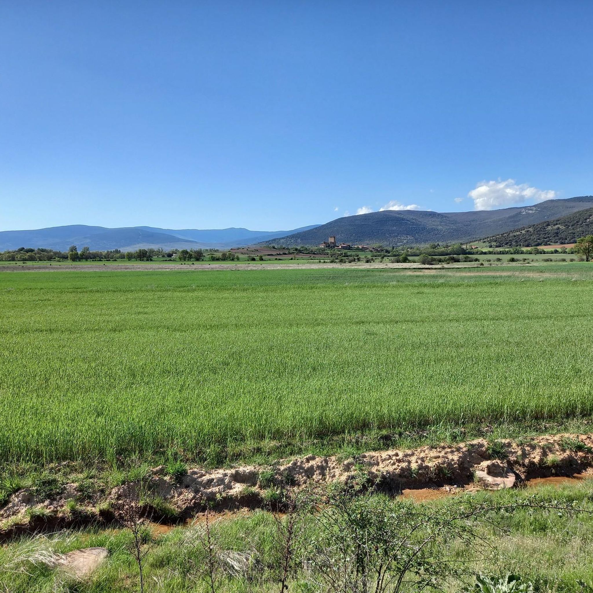
Road cycling around Almarza features routes that navigate through varied terrain, characterized by significant elevation changes and mountain passes. The region offers a network of roads that traverse rolling hills and connect rural villages. Cyclists can expect routes that climb to elevated points, providing challenging ascents and descents. The landscape is primarily defined by its mountainous character and open, rural environments.
Best road cycling routes around Almarza
- The most popular road cycling route is Piqueras and Santa Inés Pass Loop…
Last updated: May 11, 2026
51
riders
114km
05:42
1,820m
1,820m
Hard road ride. Very good fitness required. Mostly well-paved surfaces and easy to ride.
9
riders
84.5km
04:04
1,220m
1,220m
Hard road ride. Very good fitness required. Mostly well-paved surfaces and easy to ride.

Sign up for free
31
riders
73.9km
03:25
870m
870m
Moderate road ride. Good fitness required. Mostly well-paved surfaces and easy to ride.
25
riders
59.4km
02:35
480m
480m
Moderate road ride. Good fitness required. Mostly well-paved surfaces and easy to ride.
5.0
(1)
22
riders
51.0km
02:16
490m
490m
Moderate road ride. Good fitness required. Mostly well-paved surfaces and easy to ride.
Get access to more routes and recommendations from other explorers.
Sign up for free
Already have an account?
Our route recommendations are based on thousands of hikes, rides, and runs completed by other people on komoot.
Start today with a free account
Your next adventure awaits.
Login or Signup
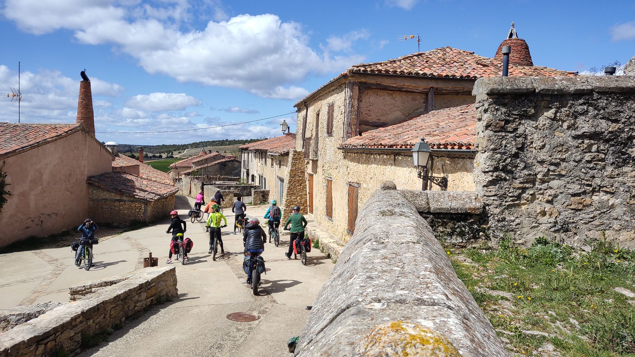
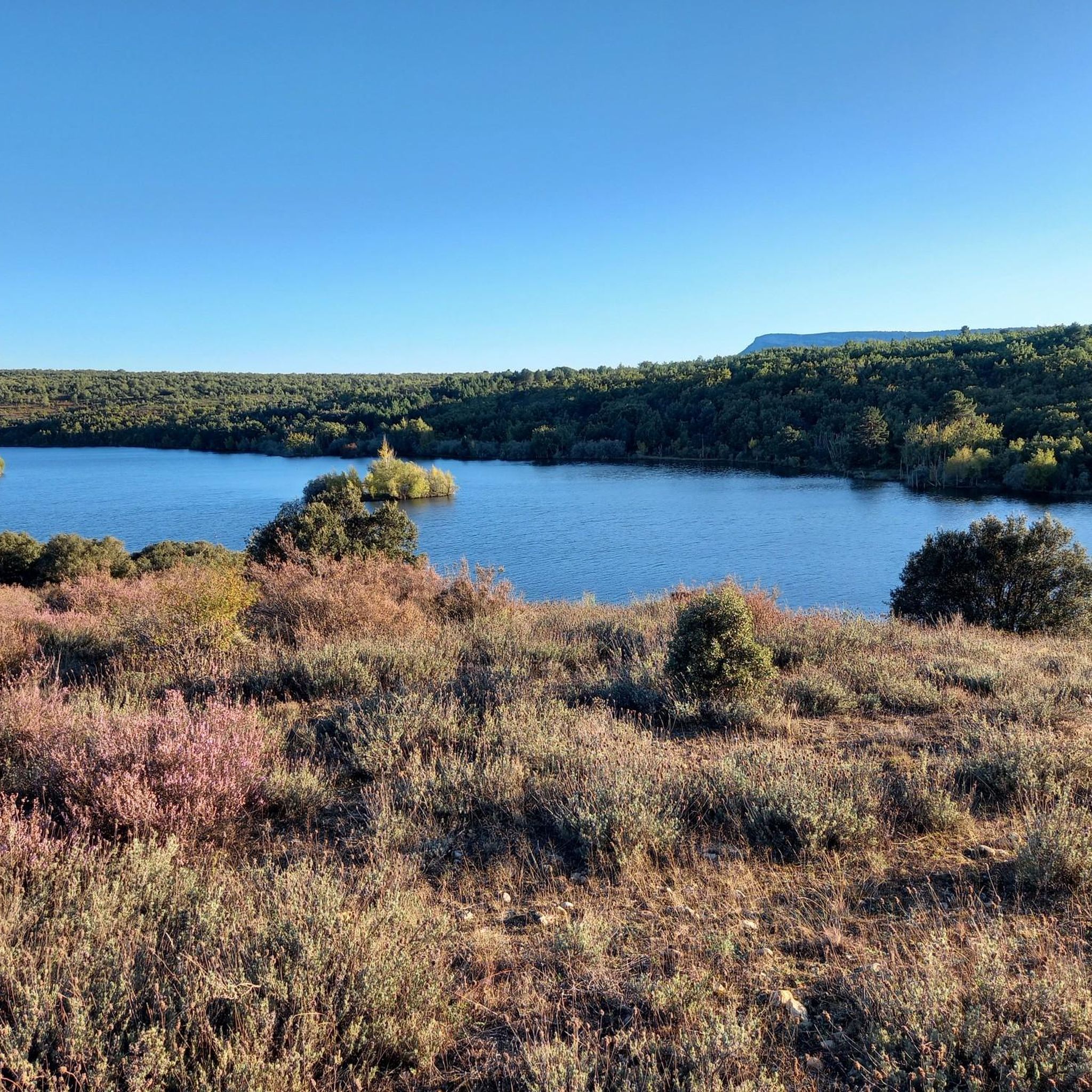
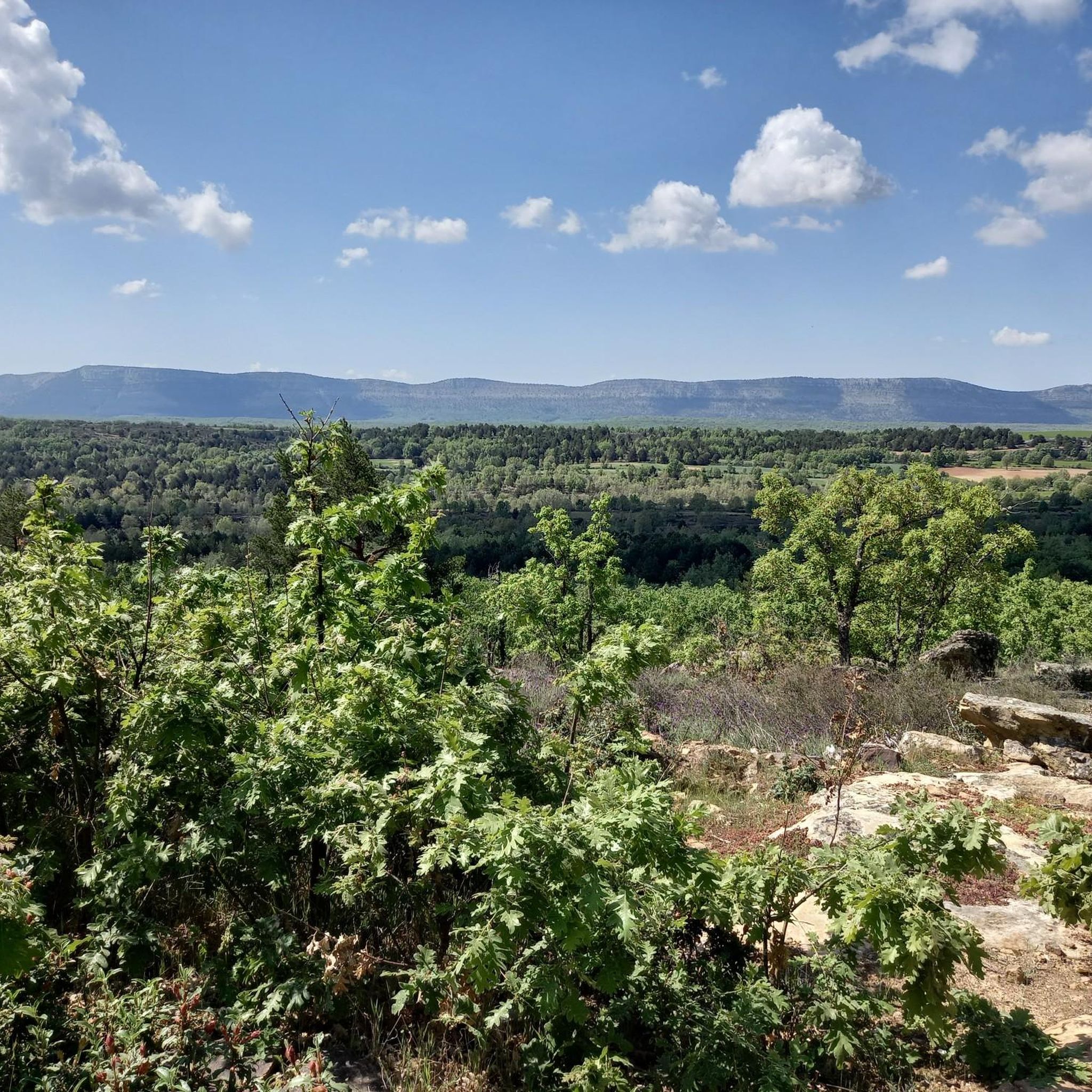
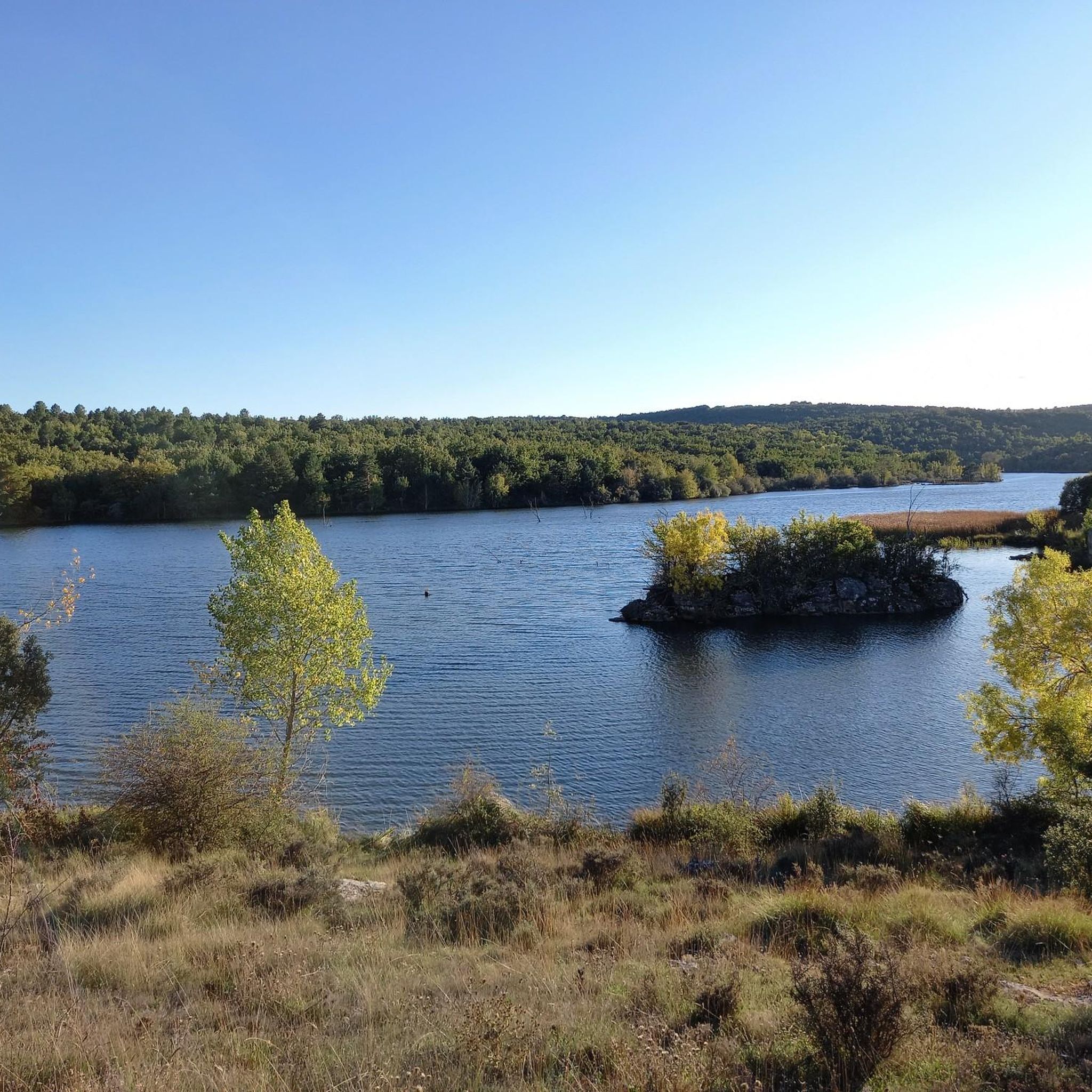

Other adventures around Almarza

Tips from the Community

Gothic church with a beautiful ribbed vault dedicated to the Virgin of the Pine
0
0

Beautiful views, the lagoon only has water in the rainy season
0
0

Located next to the Remoncillo River, its original function was to wash wool from sheep shearing at the time of the Mesta Council (Middle Ages). Free access. --------- Located next to the Remoncillo River, its original function was to wash wool from sheep shearing at the time of the Mesta Council (Middle Ages). Free access.
0
0

The small town of Aldealseñor is home to two impressive heritage gems. On the one hand, there is the Romanesque church of Nuestra Señora de la Blanca, on the other the spectacular palace-tower, built between the 14th and 16th centuries.
0
0
Renieblas is one of those lost towns full of small treasures. Here you can find a Roman bridge and milestone, a water spring and an interesting medieval funerary stele.
0
0

Villoslada de Cameros is a small town in La Rioja inhabited by only around 400 people. It is located in a magical setting, at the foot of the Sierra de Cebollera Natural Park.
0
0
The church of Santo Domingo, from the 12th century, is one of the jewels of Soria's Romanesque. Especially noteworthy is its cover rich in stone carvings.
2
0

This small town in the Almarza region is located in the north of the province, bathed by the Chico river, a tributary of the Merdancho in the Duero basin, south of the Rodader mountain range
0
0
Frequently Asked Questions
How many road cycling routes are available around Almarza?
There are over 15 road cycling routes around Almarza documented on komoot. These routes primarily navigate through varied terrain, featuring significant elevation changes and mountain passes.
Are there any easy or beginner-friendly road cycling routes in Almarza?
The road cycling routes around Almarza are generally categorized as moderate to difficult, with no routes specifically marked as easy. Cyclists should be prepared for rolling hills and mountain passes, which define the region's terrain.
What kind of terrain can I expect on road cycling routes in Almarza?
Road cycling in Almarza is characterized by routes that navigate through varied terrain, including significant elevation changes and mountain passes. You'll find a network of roads traversing rolling hills and connecting rural villages, offering challenging ascents and descents.
Are there challenging road cycling routes for experienced cyclists?
Yes, Almarza offers several challenging routes. For instance, the Piqueras and Santa Inés Pass Loop is a difficult 70.7-mile (113.9 km) trail featuring significant climbs over two mountain passes. Another difficult option is Magaña, Castilfrío, which covers 52.5 miles (84.5 km) through rural landscapes.
What are some scenic road cycling routes with viewpoints in Almarza?
Many routes in Almarza offer scenic views due to the region's mountainous character. While specific viewpoints are not always marked on every route, the climbs over mountain passes like Puerto de Piqueras often provide expansive vistas. You can also find dedicated viewpoints such as Alto de Las Cabezas Geodetic Point and View from El Riscal Geodetic Vertex in the surrounding peaks.
Are there circular road cycling routes available in Almarza?
Yes, many of the road cycling routes around Almarza are circular. An example is the Aldealseñor – Church of Santo Domingo loop from Arévalo de la Sierra, a 45.9-mile (73.9 km) trail, or the El Royo loop from Aeródromo de Garray, which is 36.9 miles (59.4 km).
What can I see along the road cycling routes in Almarza?
Beyond the natural landscapes of rolling hills and mountain passes, you can encounter various points of interest. These include historical sites like the Cañada Honda Rock Art Site and the Castro Alto de la Cruz. Natural features such as the Stone Bridge over the Tera River and the Cueva de la Gallina Spring are also accessible.
What do other road cyclists say about the routes in Almarza?
The road cycling routes in Almarza are highly rated by the komoot community, with an average score of 5.0 stars from a few reviews. Over 200 road cyclists have used komoot to explore the varied terrain, often praising the challenging ascents and the open, rural environments.
Are there any road cycling routes that pass through villages or offer opportunities for refreshments?
Many routes in Almarza connect rural villages, providing opportunities to stop for refreshments. For example, the Magaña, Castilfrío route explores the rural landscape connecting these two villages, where you might find local establishments.
What is the typical duration for road cycling routes in Almarza?
Route durations vary depending on distance and difficulty. For example, the Piqueras and Santa Inés Pass Loop typically takes around 5 hours 42 minutes, while the El Royo – Vinuesa loop from Valdeavellano de Tera can be completed in about 4 hours 30 minutes.
What is the best season for road cycling in Almarza?
Given the region's mountainous character and potential for snow on higher passes, spring, summer, and early autumn are generally the most favorable seasons for road cycling in Almarza. These periods offer more stable weather conditions and clear roads for tackling the ascents and descents.
Most popular attractions around Almarza

Get inspired with the komoot mobile app


Explore more
Browse the best Road cycling routes in other regions.
