The best road cycling routes around Aras De Los Olmos
300
riders
23
rides
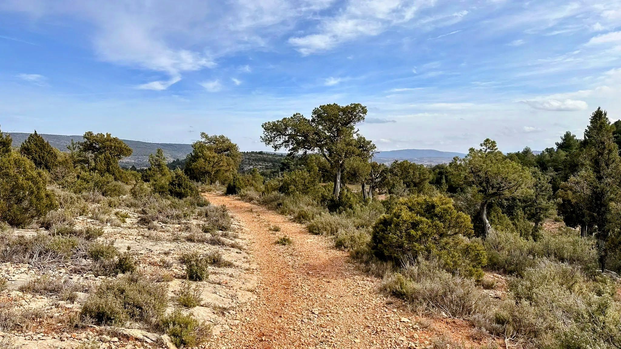
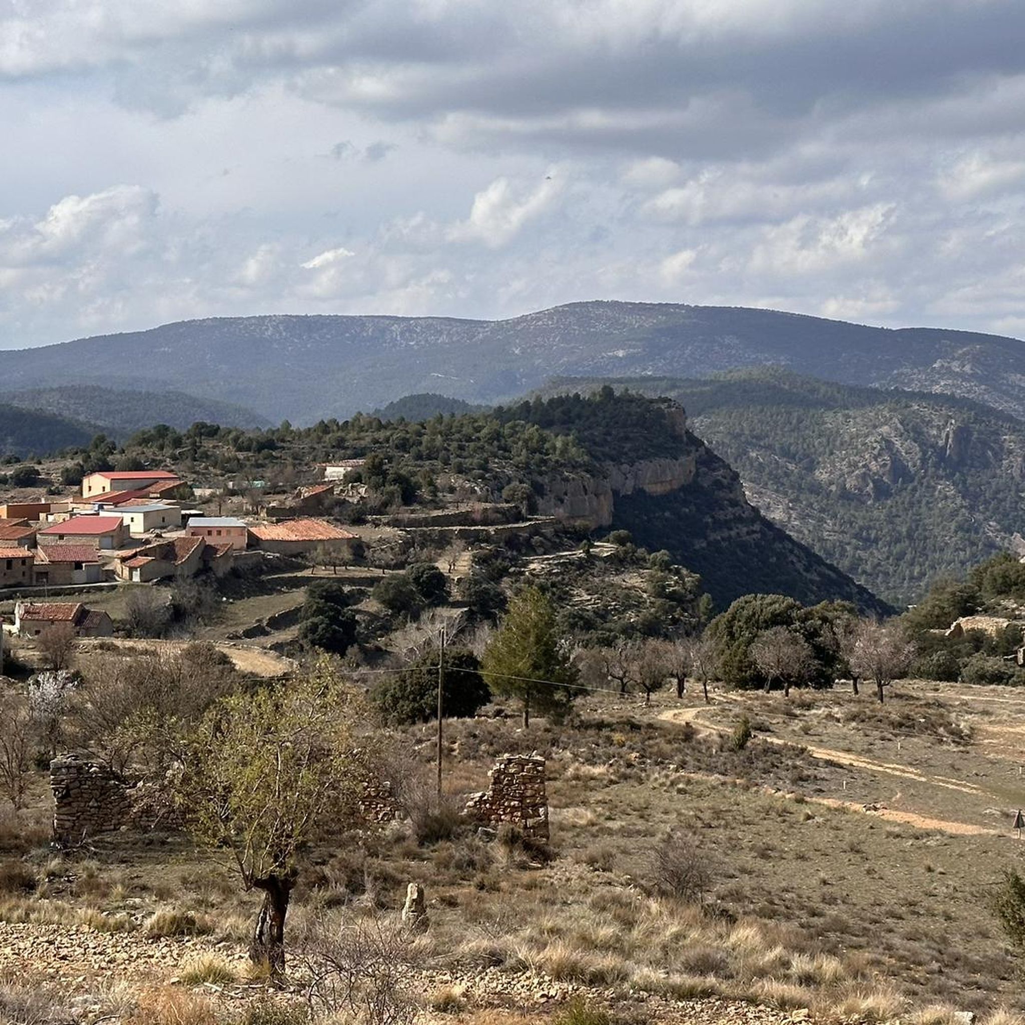
Road cycling routes around Aras De Los Olmos traverse a diverse and rugged landscape, characterized by mountainous topography, deep ravines, and significant peaks. Located northwest of Valencia, the region features varied terrain with plains, dense pine forests, and the Turia River. Cyclists encounter challenging ascents and exhilarating descents through this natural environment, which is part of the Alto Turia Biosphere Reserve.
Best road cycling routes around Aras De Los Olmos
- The most popular road cycling route is Aras de los…
Last updated: May 15, 2026
26
riders
Hard road ride. Very good fitness required. Some segments of this route may be unpaved and difficult to ride.
27
riders
86.3km
05:04
2,100m
2,100m
Hard road ride. Very good fitness required. Mostly well-paved surfaces and easy to ride.

Sign up for free
24
riders
50.5km
02:28
760m
760m
Moderate road ride. Good fitness required. Mostly well-paved surfaces and easy to ride.
14
riders
84.1km
04:14
1,380m
1,380m
Hard road ride. Very good fitness required. Mostly well-paved surfaces and easy to ride.
10
riders
54.7km
03:07
1,210m
1,210m
Hard road ride. Very good fitness required. Some segments of this route may be unpaved and difficult to ride.
Get access to more routes and recommendations from other explorers.
Sign up for free
Already have an account?
Our route recommendations are based on thousands of hikes, rides, and runs completed by other people on komoot.
Start today with a free account
Your next adventure awaits.
Login or Signup
Other adventures around Aras De Los Olmos

Tips from the Community

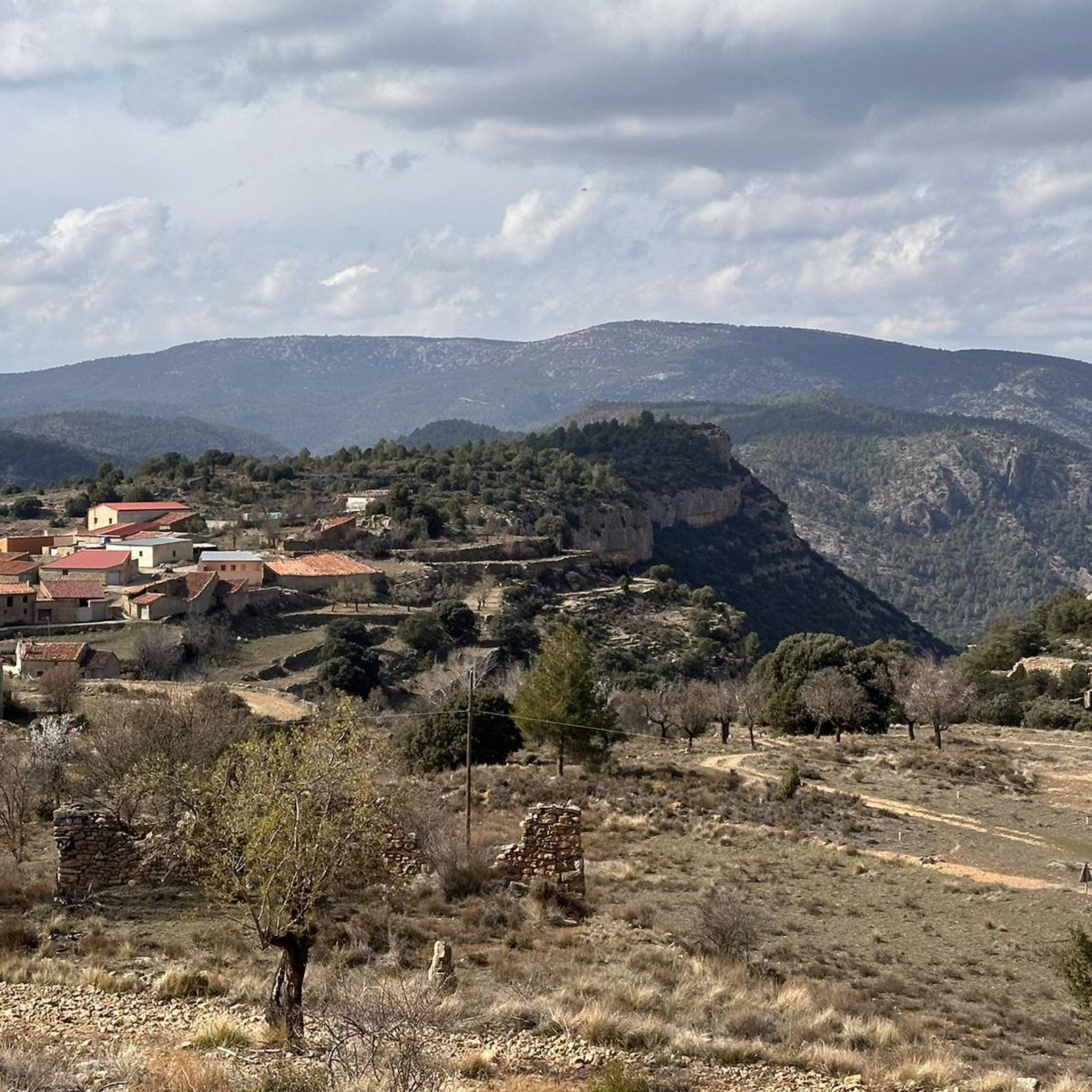
The Losilla Viewpoint offers spectacular views of the mountain pass and the landscape surrounding this small village of Aras de los Olmos. From here, you can see the road winding through the mountains, and on clear days, the feeling of spaciousness is impressive. The area is also a popular spot for stargazing, thanks to the purity of its night sky, and has an archaeological route linked to the discovery of the dinosaur Losillasaurus giganteus. It's a good place to stop and enjoy the natural surroundings.
1
0
The Hermitage of Santa Catalina stands on the Muela of the same name, at an altitude of 1,100 meters and 5 km from Aras de los Olmos. Its origins date back to the 17th century and it is surrounded by a natural setting with a spring water fountain, a table area, and paella pans, making it an ideal place to relax after a hike. The inn, added in 1728, completes the historic site. You can reach it on foot, by bike, or by car, all enjoying the peaceful surroundings and beautiful views.
1
0
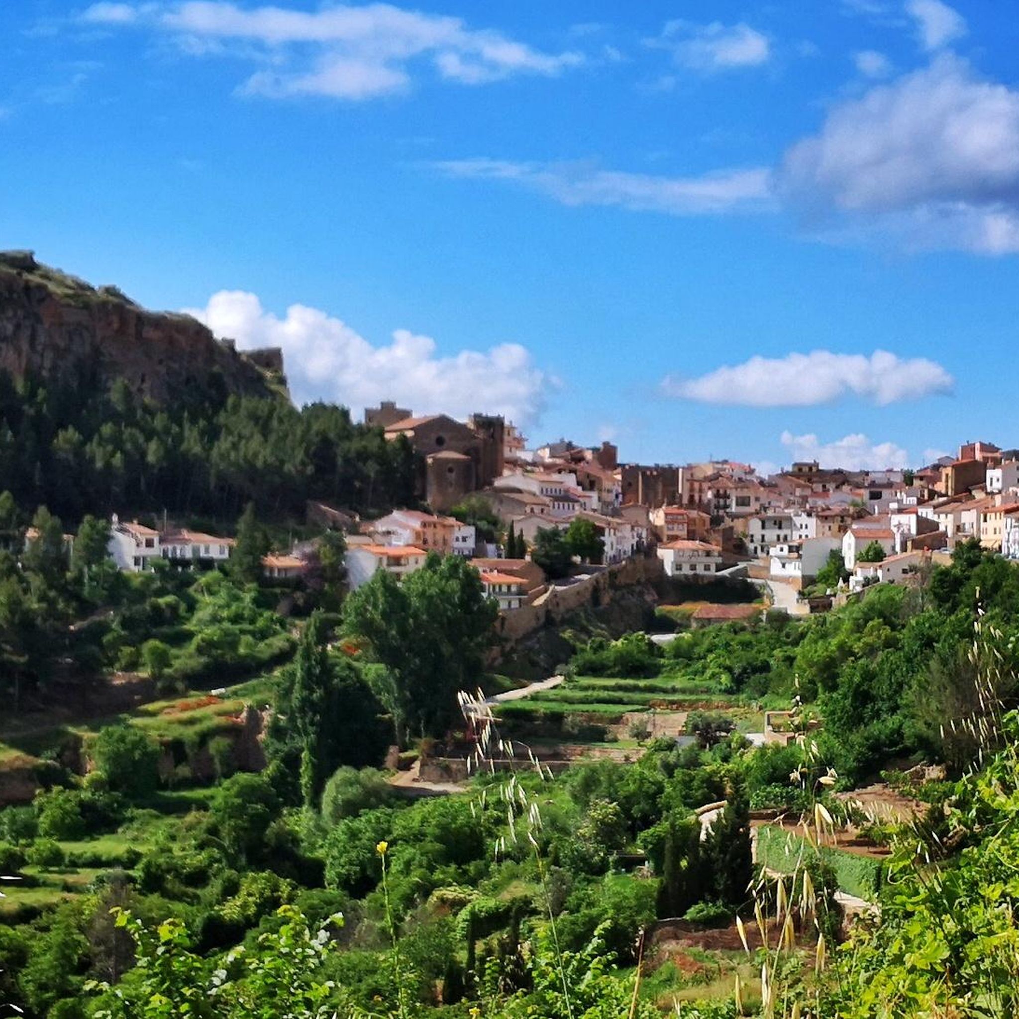
Aras de los Olmos is a mountain village surrounded by mountains and ravines, perfect for those seeking hiking and biking trails surrounded by nature. It is known for its clear skies, recognized with the Starlight Destination certification, making it one of the best places in Europe for astronomical observation. Its heritage includes the parish church, hermitages, a Muslim tower, and a medieval oven that can be visited, as well as paleontological finds such as the Losillasaurus dinosaur. The local cuisine, with dishes such as gachas (porridge), ajoarriero (a garlic stew), and artisanal honey, completes the visit.
0
0
Arcos de las Salinas is a small village in the Javalambre Mountains, ideal for hiking and nature lovers. Surrounded by mountains and crossed by the Arcos and Torrijano rivers, it is part of a protected area designated as a Site of Community Interest. Its scattered villages and farmhouses give it a very authentic rural feel, perfect for unwinding. Thanks to its altitude, the climate is cool, and snow is not uncommon in winter, making it a good starting point for excursions at any time of year.
1
0
La Yesa is a small village in the Los Serranos region, surrounded by mountains covered with holm oaks and pine forests, ideal for leisurely hikes with beautiful views of the mountains and even the sea on clear days. Its attractions include the Church of Nuestra Señora de los Ángeles, several chapels, and monumental trees such as the Carrasca Tumbada and the Pino Sombrero. The surrounding area offers trails through natural sites such as El Carrascal and El Castellar, with archaeological remains. To replenish your energy, there's nothing better than trying "Olla de pueblo" (village pot), a hearty rice dish with beans and turnips, typical of the area.
1
0
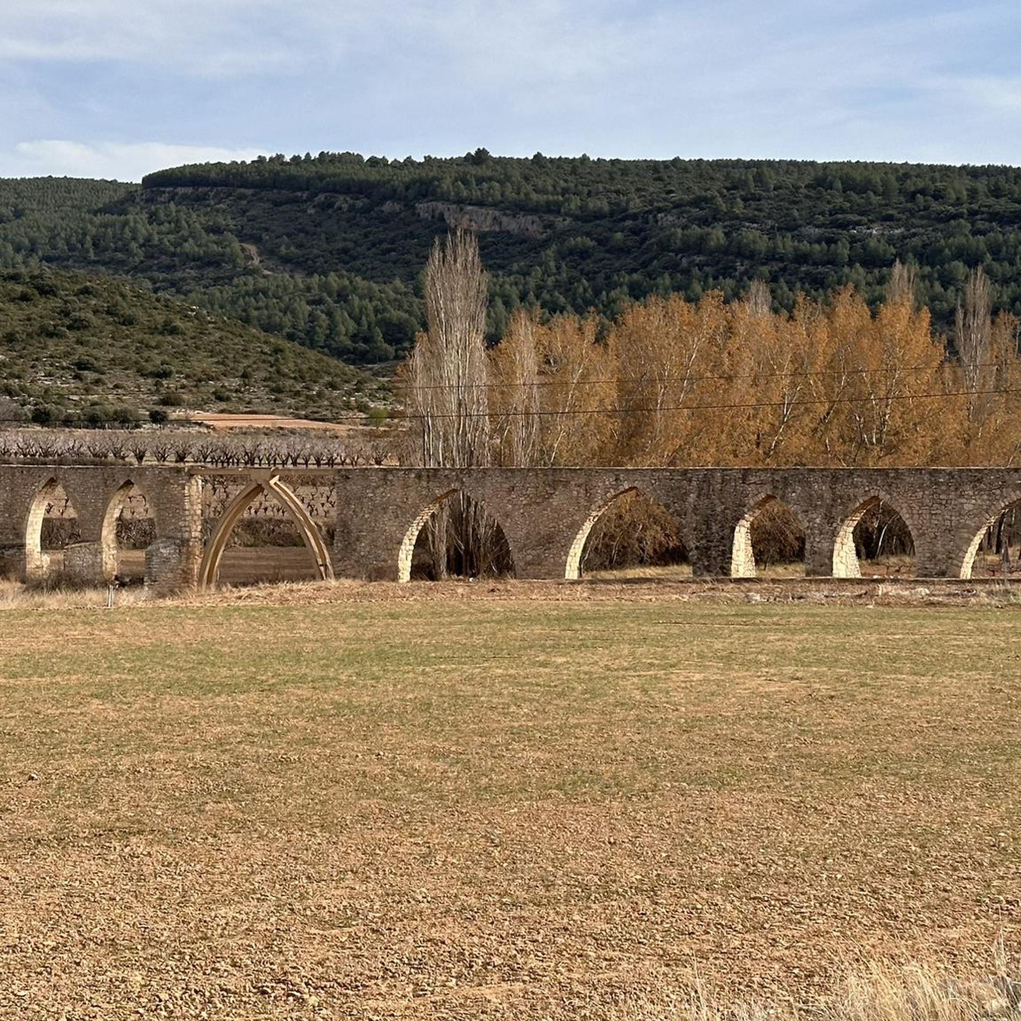
The Los Arcos aqueduct, located in Alpuente, is a 16th and 17th-century hydraulic structure that supplied water to the town and its orchards. With its thirteen pointed arches and a length of 265 meters, the arcade bridged the uneven level of the Reguero River, although the main arch was lost in a flood in 1880. Today, it is preserved as a Site of Cultural Interest and can be easily visited from the road to La Yesa. It is an interesting spot for combining history and hiking; good footwear is recommended to explore the surroundings.
2
0

A very privileged site with amazing views on all sides, chosen by many athletes to challenge the demanding climb. The peak of Picón del Buitre is located at 1956 meters above sea level and was chosen to build the Astronomical Observatory given its remote location, altitude and low light pollution.
2
0
In the middle of the Sierra de Javalambre at 1360 meters above sea level is this picturesque town typical of the interior of Teruel. It has a valuable historical, cultural and gastronomic heritage that you have to discover in addition to offering several hiking tours in the area.
3
0
Frequently Asked Questions
How many road cycling routes are available around Aras De Los Olmos?
There are over 20 road cycling routes around Aras De Los Olmos, offering a diverse range of experiences. You'll find 9 moderate routes and 14 challenging routes, catering to various skill levels.
What is the typical terrain and elevation gain like for road cycling in Aras De Los Olmos?
The region is characterized by a diverse and rugged natural landscape, featuring mountainous topography, deep ravines, and significant peaks. Road cyclists can expect challenging ascents and exhilarating descents. For example, the Puerto de Losilla – Arcos de las Salinas loop from Santa Cruz de Moya involves over 2,100 meters of elevation gain.
Are there any beginner-friendly road cycling routes in the area?
While many routes in Aras De Los Olmos are rated moderate to difficult due to the mountainous terrain, there are options that can be adapted or shorter sections that might be more suitable for beginners. The guide lists 9 moderate routes, such as the Arcos de las Salinas – Torrijas loop from Arcos de las Salinas, which covers 51 km with about 750 meters of elevation gain.
What kind of scenic points or landmarks can I expect to see along the road cycling routes?
Aras De Los Olmos offers stunning natural beauty and historical sites. You might encounter the unique Dino Route of Aras de los Olmos with its ancient dinosaur footprints, or ride through the tranquil Las Blancas (Juniper Forest). The region also boasts impressive viewpoints like the Mirador del Río Turia, offering panoramic vistas of the Turia River valley.
What is the best time of year for road cycling in Aras De Los Olmos?
The region's climate generally allows for cycling through much of the year. However, spring and autumn often provide the most comfortable temperatures for tackling the challenging ascents. Summers can be hot, especially in the middle of the day, while winters might bring cooler temperatures, particularly at higher elevations.
Are there any circular road cycling routes available?
Yes, many of the road cycling routes in Aras De Los Olmos are designed as loops. For example, the popular Aras de los Olmos – Beautiful straight road out of Aras de Los Olmos loop from Aras de los Olmos is a 64.4 km circular route, and the Peñas de Dios Pass – Arcos de las Salinas loop from Arcos de las Salinas offers another challenging circular option.
What do other road cyclists enjoy most about road cycling in Aras De Los Olmos?
Road cyclists frequently praise the region's diverse and rugged natural landscapes, which provide both challenging climbs and rewarding views. The combination of dense pine forests, deep ravines, and the Turia River creates a dynamic and scenic cycling experience away from crowded areas.
Are there any attractions or villages to explore near the cycling routes?
Absolutely. Beyond the cycling, you can visit the picturesque Alpuente Village, known for its charming views. The area is also a Starlight Destination, offering opportunities for astrotourism. You can also explore historical heritage sites like a 16th-century church or ancient watchtowers in Aras De Los Olmos itself.
Is there parking available for cyclists in Aras De Los Olmos?
Yes, Aras De Los Olmos is a cycling-friendly area. While specific parking locations for each route may vary, you can generally find parking within the village or at designated starting points for routes. The presence of the Centro BTT Los Serranos at Hotel Aras Rural also indicates a supportive infrastructure for cyclists.
Can I reach Aras De Los Olmos by public transport for cycling trips?
Aras De Los Olmos is located northwest of Valencia. While public transport options might be limited compared to larger cities, it is advisable to check local bus schedules or regional transport services connecting to smaller towns in the Alto Turia Biosphere Reserve. Planning ahead is recommended for public transport access.
Are there any cafes or places to refuel along the road cycling routes?
While the routes often traverse natural and sometimes remote areas, the villages and towns along or near the routes, such as Aras De Los Olmos itself or Alpuente, typically offer cafes, restaurants, or small shops where you can refuel and rest. It's always a good idea to carry sufficient water and snacks, especially on longer rides.
Are there any particularly challenging road cycling routes for experienced riders?
Experienced riders seeking a challenge will find plenty of options. Routes like the Puerto de Losilla – Arcos de las Salinas loop from Santa Cruz de Moya, with over 2,100 meters of elevation gain over 86 km, are rated as difficult and offer extensive climbs through mountainous areas, providing a significant test of endurance.
Most popular attractions around Aras De Los Olmos

Get inspired with the komoot mobile app


Explore more
Browse the best Road cycling routes in other regions.
