Réserve naturelle de Ristolas - Mont-Viso
Réserve naturelle de Ristolas - Mont-Viso
The best mountain hikes around Réserve naturelle de Ristolas - Mont-Viso
4.8
(17)
215
hikers
13
hikes
Mountaineering routes around Réserve naturelle de Ristolas - Mont-Viso traverse dramatic Alpine landscapes within the French-Italian Mont Viso massif, with elevations ranging from 1,700 to 3,300 meters. The region is dominated by the imposing Mont Viso, a 3,841-meter peak, and features diverse geological formations including gabbros and basaltic lavas, alongside glacial features like rocky areas and scree. The Guil River carves gorges through the terrain, contributing to the varied environment for mountaineering.
Best mountaineering routes around Réserve naturelle de Ristolas…
Last updated: October 4, 2026
5.0
(2)
32
hikers
8.33km
05:34
930m
930m
Hard mountaineering route. Very good fitness required. Sure-footedness, sturdy shoes and alpine experience required.
5.0
(1)
26
hikers
8.92km
05:55
940m
940m
Hard mountaineering route. Very good fitness required. Sure-footedness, sturdy shoes and alpine experience required.

5.0
(2)
9
hikers
5.56km
02:59
470m
470m
Hard mountaineering route. Good fitness required. Sure-footedness, sturdy shoes and alpine experience required.
4.5
(2)
8
hikers
20.4km
09:59
1,450m
1,450m
Hard mountaineering route. Very good fitness required. Sure-footedness, sturdy shoes and alpine experience required.
5.0
(1)
8
hikers
Hard mountaineering route. Good fitness required. Sure-footedness, sturdy shoes and alpine experience required.
Get access to more routes and recommendations from other explorers.
Already have an account?
Our route recommendations are based on thousands of hikes, rides, and runs completed by other people on komoot.
Start today with a free account
Your next adventure awaits.
Popular around Réserve naturelle de Ristolas - Mont-Viso
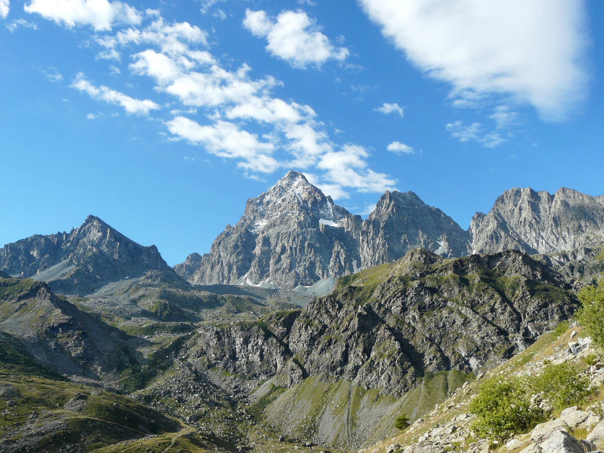
Tour di Viso – Four days around the Stone King from Castello
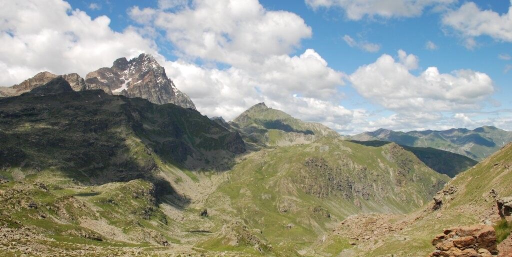
Tour di Viso – Four days around the Stone King from Meire Dacant
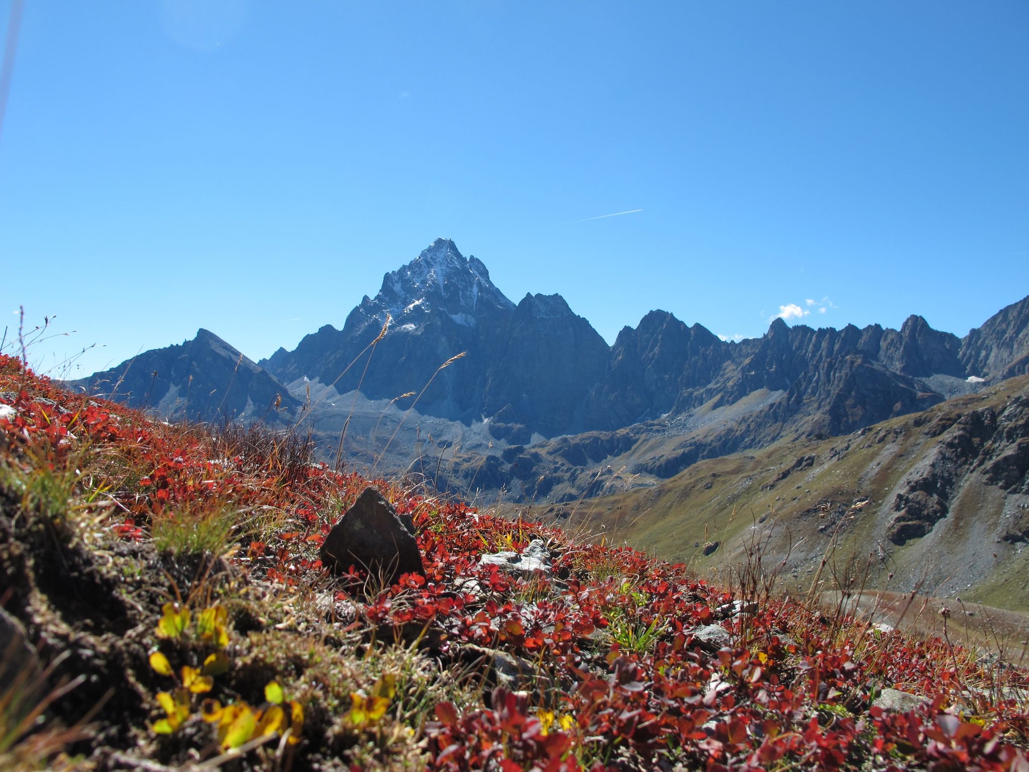
Three days around il Re di Pietra ─ Giro di Viso from Castello
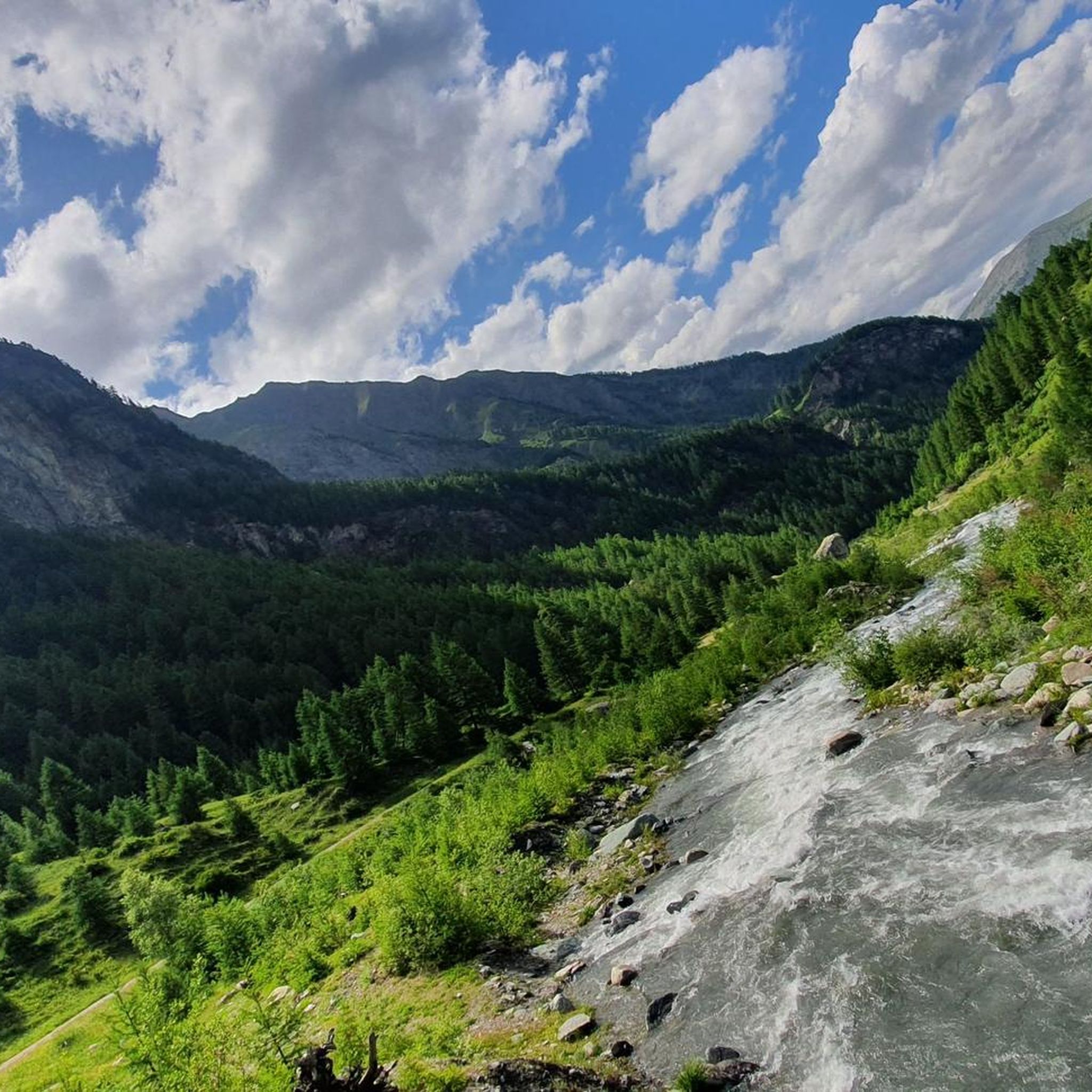
Cycling around Réserve naturelle de Ristolas - Mont-Viso
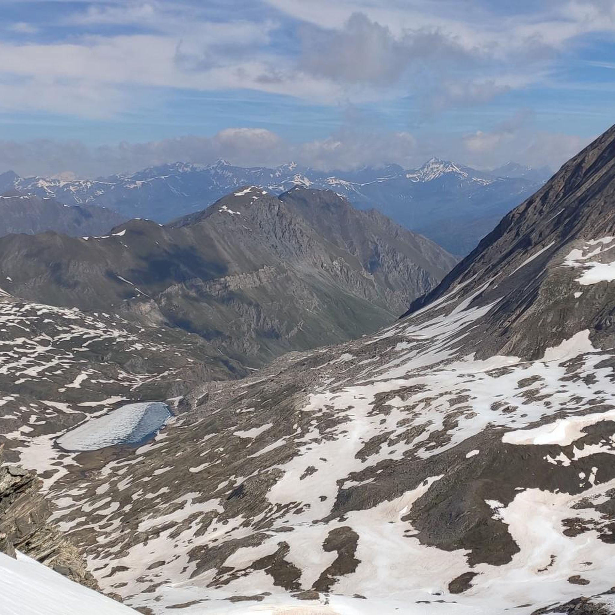
Hiking around Réserve naturelle de Ristolas - Mont-Viso
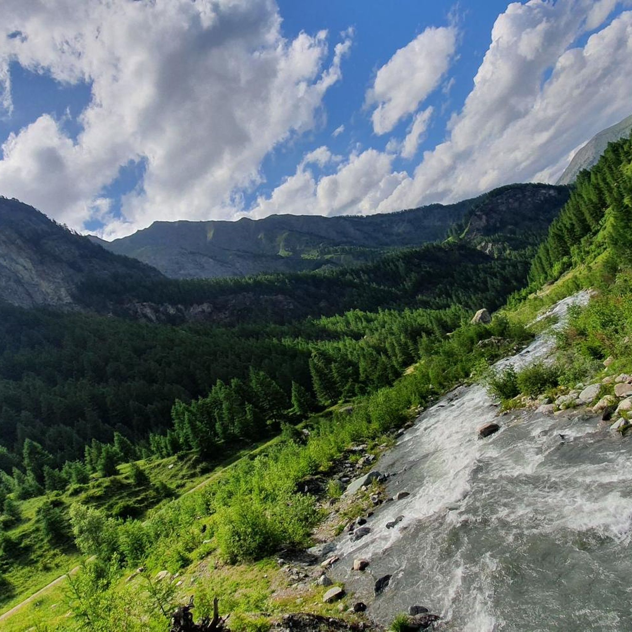
Road Cycling Routes around Réserve naturelle de Ristolas - Mont-Viso
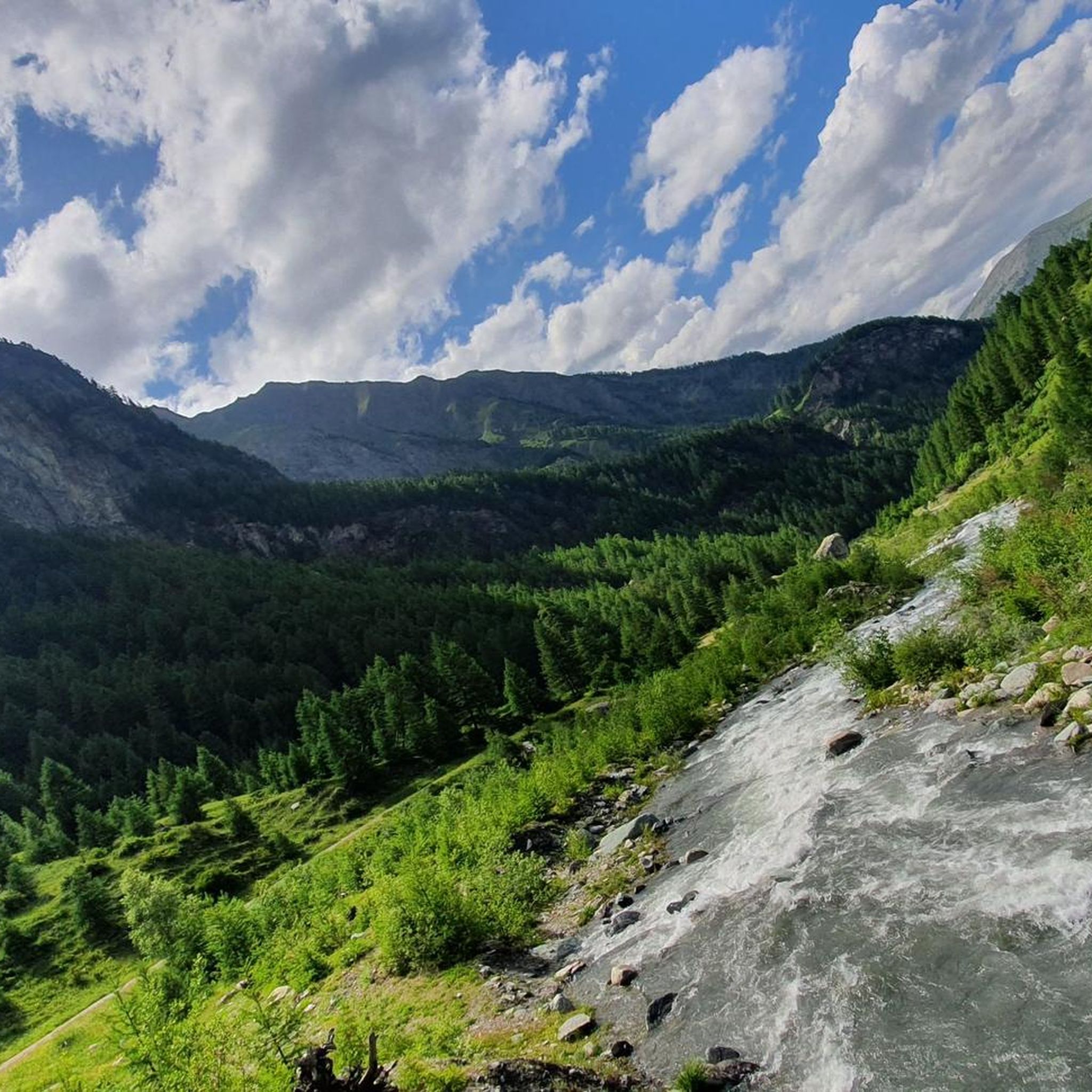
MTB Trails around Réserve naturelle de Ristolas - Mont-Viso
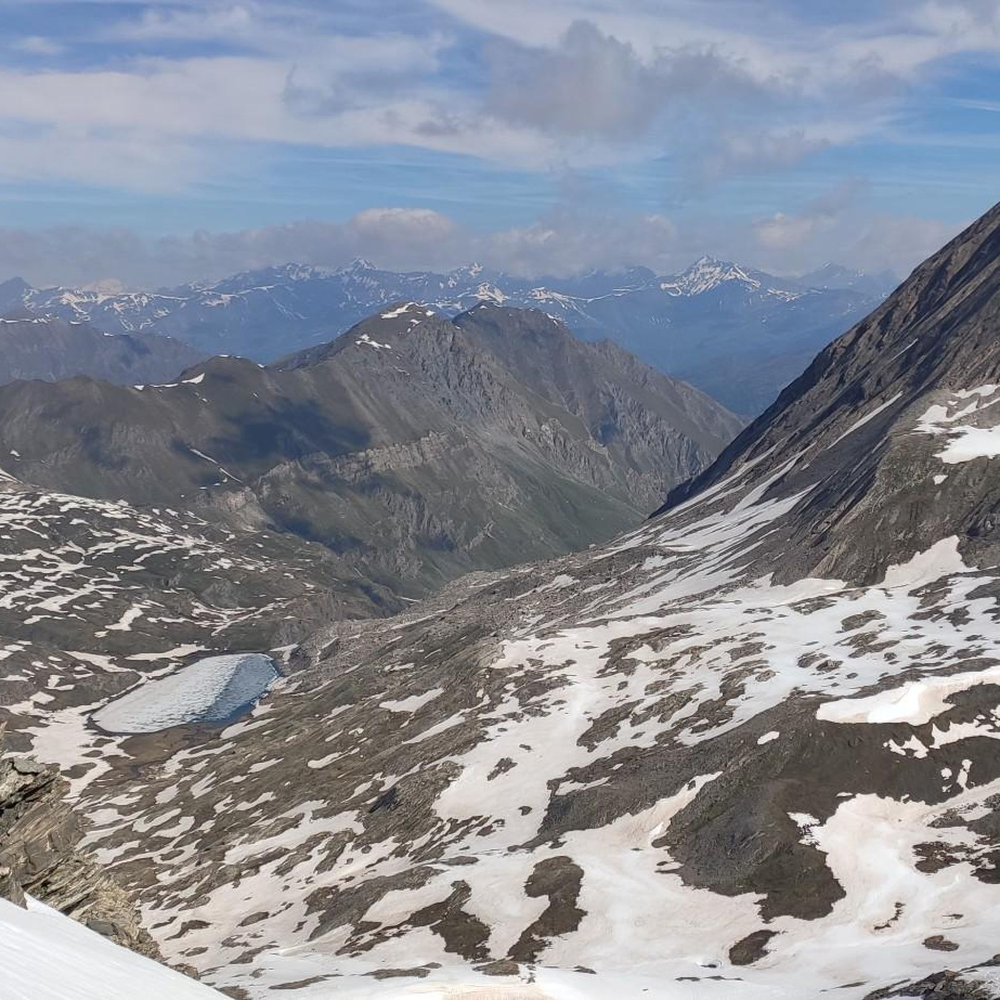
Running Trails around Réserve naturelle de Ristolas - Mont-Viso

Gravel biking around Réserve naturelle de Ristolas - Mont-Viso
Other adventures around Réserve naturelle de Ristolas - Mont-Viso

Tips from the Community

All roads lead to Rome 😎 this one from the Monviso group is particularly beautiful for the environment where it is located and for the spectacular view at the top!! 💥💥💥
0
0

Beautiful and famous lake easily reachable from Pian del Re and Regina.
1
0

A beautiful lake that is worth the climb and walk to get there.
1
0


The first structure of the Pian del Re refuge hotel was built by the Municipality of Crissolo in 1874 to accommodate mountaineers intent on climbing the Normal route of Monviso. In 1909 it became privately owned and management passed to the Perotti family, a historic dynasty of mountain guides of Monviso. Numerous paths start from here, both for day trips and for multi-day treks, such as the Giro del Monviso, or mountaineering itineraries, including the Normal route of Monviso. The refuge is open every day from the beginning of June to the end of September and offers 30 beds, in addition to a bar and restaurant service. For more information, visit the website: https://www.rifugiopiandelre.it.
3
0

A relatively easy "3000" starting from the Agnel refuge. The topo and photos at this address: https://treksrandos.fr/alpes/hautes-alpes-05/escreins/pic-de-caramantran-3025-m/
1
0

Lac Foreant beautifully situated at 2618 meters.
1
0

The summit is located at 3209 meters above sea level on the border of France and Italy. You get beautiful 360 degree views, with Monte Viso (paramount logo) and Mont Blanc filling the view. In my experience the climb was challenging. The paths were not always clear, so we took the wrong path twice and had to climb instead of walking. I recommend staying in group to avoid doubt and follow the gravel path. Despite the brief fear, it was definitely worth it!! Top experience
0
0
Frequently Asked Questions
How many mountaineering routes are available in Réserve naturelle de Ristolas - Mont-Viso?
There are over 25 mountaineering routes documented in Réserve naturelle de Ristolas - Mont-Viso, offering a wide range of challenges for experienced mountaineers. The komoot community has explored more than 28 routes in the area.
What is the typical difficulty level for mountaineering in Réserve naturelle de Ristolas - Mont-Viso?
Mountaineering in Réserve naturelle de Ristolas - Mont-Viso is generally challenging, with the majority of routes (over 20) classified as difficult. These trails often involve significant elevation gains and rugged Alpine terrain. There are a few moderate options available, but no easy routes for beginners are listed.
What natural features or landmarks can I expect to see while mountaineering in Réserve naturelle de Ristolas - Mont-Viso?
The region is dominated by the imposing Mont Viso, often called the 'Matterhorn of the Southern Alps.' You'll encounter diverse geological formations, ancient glacial features, and the dramatic gorges carved by The Guil River. Don't miss the historic Tunnel de la Traversette (Buco di Viso), the first Alpine tunnel, connecting France and Italy.
Are there any circular mountaineering routes in the Réserve naturelle de Ristolas - Mont-Viso?
Yes, several routes offer circular options. For example, the Lac Fiorenza – Viso Mozzo Summit loop from Pian del Re is a challenging 15.2 km loop. Another option is the Punta Venezia – Lac Supérieur loop from Pian del Re, a difficult 9.6 km path, or the shorter Col Vieux loop from Col Agnel / Colle dell'Agnello, which is 5.6 km.
What kind of wildlife might I encounter in Réserve naturelle de Ristolas - Mont-Viso?
The reserve is rich in biodiversity. Keep an eye out for mountain animals adapted to high altitudes, such as chamois, ibex, and variable hares. Birdwatchers may spot Alpine accentors, ptarmigans, and black grouse. The area is also home to unique flora and the rare Lanza's salamander.
What is the best time of year for mountaineering in Réserve naturelle de Ristolas - Mont-Viso?
The prime season for mountaineering in Réserve naturelle de Ristolas - Mont-Viso is typically from late spring to early autumn (June to September) when snow conditions are more favorable and mountain refuges are open. The ascent of Mont Viso itself, while not extremely technical, demands good physical preparation and is best undertaken in stable summer conditions.
Are there any accommodations or refuges available along the mountaineering routes?
Yes, the Viso Refuge is located within the reserve at the foot of Mont Viso, offering meals and overnight accommodation. Bivouac is also permitted according to local regulations, providing options for extended explorations.
What do other mountaineers enjoy most about the routes in Réserve naturelle de Ristolas - Mont-Viso?
The routes in Réserve naturelle de Ristolas - Mont-Viso are highly rated by the komoot community, with an average score of 4.6 stars. Mountaineers often praise the spectacular high-mountain scenery, the challenging ascents, and the diverse geological formations that make each tour unique.
Are there any specific peaks or passes worth noting for mountaineering?
Beyond Mont Viso itself, the area features several notable peaks and passes. You might consider routes that pass through Col Sellière or Asti Saddle. For summit views, Punta Udine and Rocca Rossa 3190 m offer challenging ascents and rewarding panoramas.
Is there a long-distance trail that passes through Réserve naturelle de Ristolas - Mont-Viso?
Yes, the famous 'Tour of Mont Viso' is a multi-day trek that can take anywhere from 2 to 10 days, offering an immersive experience around the massif. The Via Alpina Blue D47 also traverses the area, providing stunning Mont Viso views and opportunities for wildlife spotting.
Are there any family-friendly or dog-friendly mountaineering options?
Given the challenging nature of most routes in Réserve naturelle de Ristolas - Mont-Viso, with significant elevation and rugged terrain, dedicated easy or family-friendly mountaineering options are not explicitly listed. For dog-friendly routes, it's advisable to check specific trail regulations and local signage, as rules can vary within a nature reserve.
Where can I find parking for mountaineering routes in Réserve naturelle de Ristolas - Mont-Viso?
Common starting points for routes, such as Pian del Re or Col Agnel / Colle dell'Agnello, typically offer parking facilities. It is recommended to check specific trailhead information for detailed parking availability and any potential fees or restrictions, especially during peak season.
Most popular routes around Réserve naturelle de Ristolas - Mont-Viso
Most popular attractions around Réserve naturelle de Ristolas - Mont-Viso

Get inspired with the komoot mobile app


Explore more
Browse the best Mountain Hikes & Routes in other regions.
