The best mountain hikes around Arrasate / Mondragón
5.0
(3)
55
hikers
7
hikes
Mountaineering routes around Arrasate / Mondragón are characterized by the rugged peaks and limestone formations of the Basque Country. The region features significant elevation gains, leading to panoramic views from summits like Anboto and Udalaitz. These routes often traverse varied terrain, including rocky ascents and forested sections. The landscape provides a challenging environment for experienced mountaineers.
Best mountaineering routes around Arrasate / Mondragón
- The most popular mountaineering route is Anboto (1,331 m) – Anboto Summit loop from Anboto, a…
Last updated: August 11, 2026
5.0
(1)
13
hikers
9.92km
05:36
1,040m
1,040m
Hard mountaineering route. Very good fitness required. Sure-footedness, sturdy shoes and alpine experience required.
5.0
(1)
7
hikers
7.38km
03:19
570m
570m
Hard mountaineering route. Good fitness required. Sure-footedness, sturdy shoes and alpine experience required.

Sign up for free
7
hikers
4.70km
02:55
560m
560m
Hard mountaineering route. Good fitness required. Sure-footedness, sturdy shoes and alpine experience required.
8
hikers
13.2km
06:34
1,020m
1,020m
Hard mountaineering route. Very good fitness required. Sure-footedness, sturdy shoes and alpine experience required.
6
hikers
10.3km
03:41
520m
520m
Moderate mountaineering route. Good fitness required. Mostly accessible paths. Sure-footedness required.
Get access to more routes and recommendations from other explorers.
Sign up for free
Already have an account?
Our route recommendations are based on thousands of hikes, rides, and runs completed by other people on komoot.
Start today with a free account
Your next adventure awaits.
Login or Signup
Popular around Arrasate / Mondragón
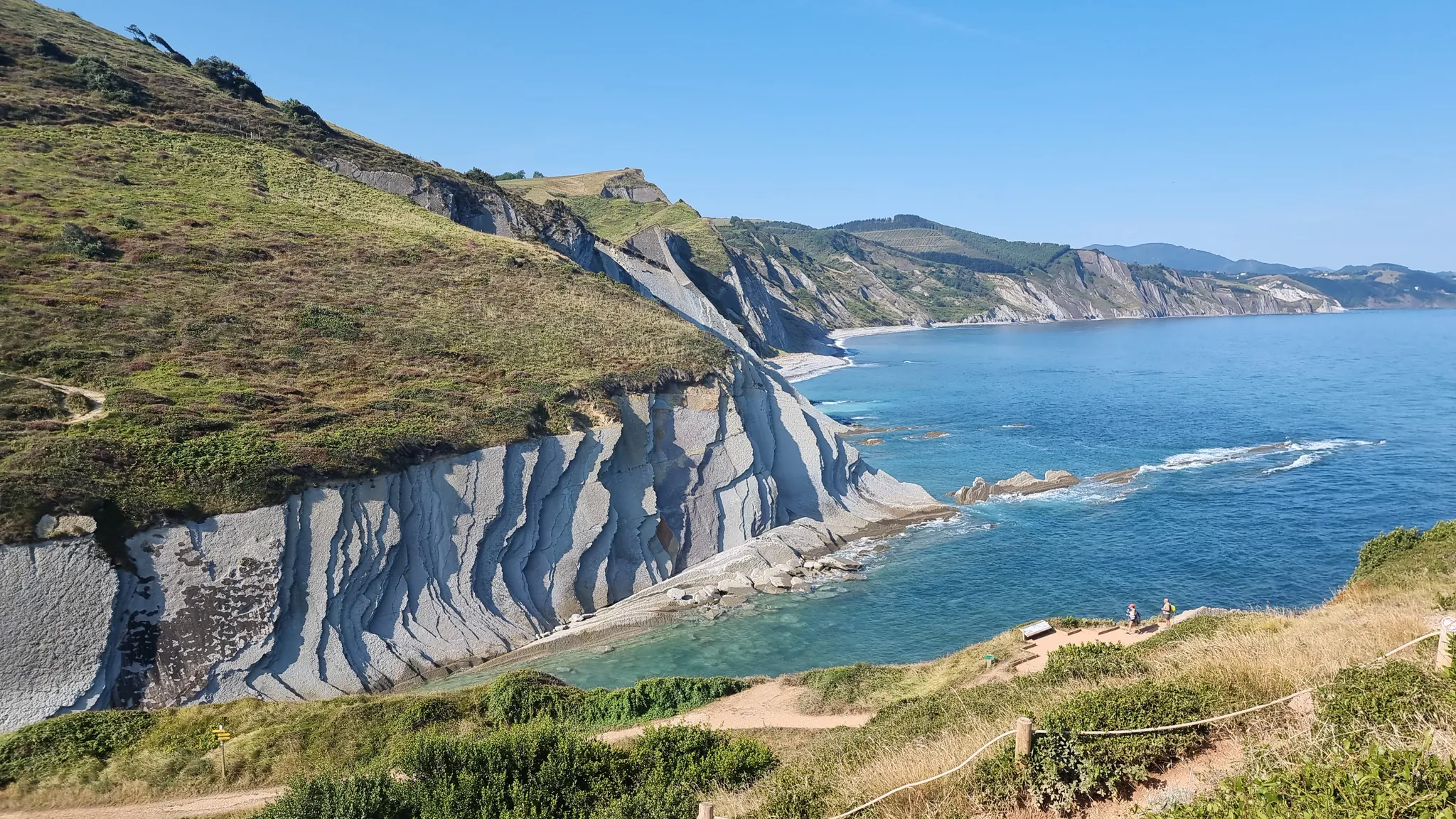
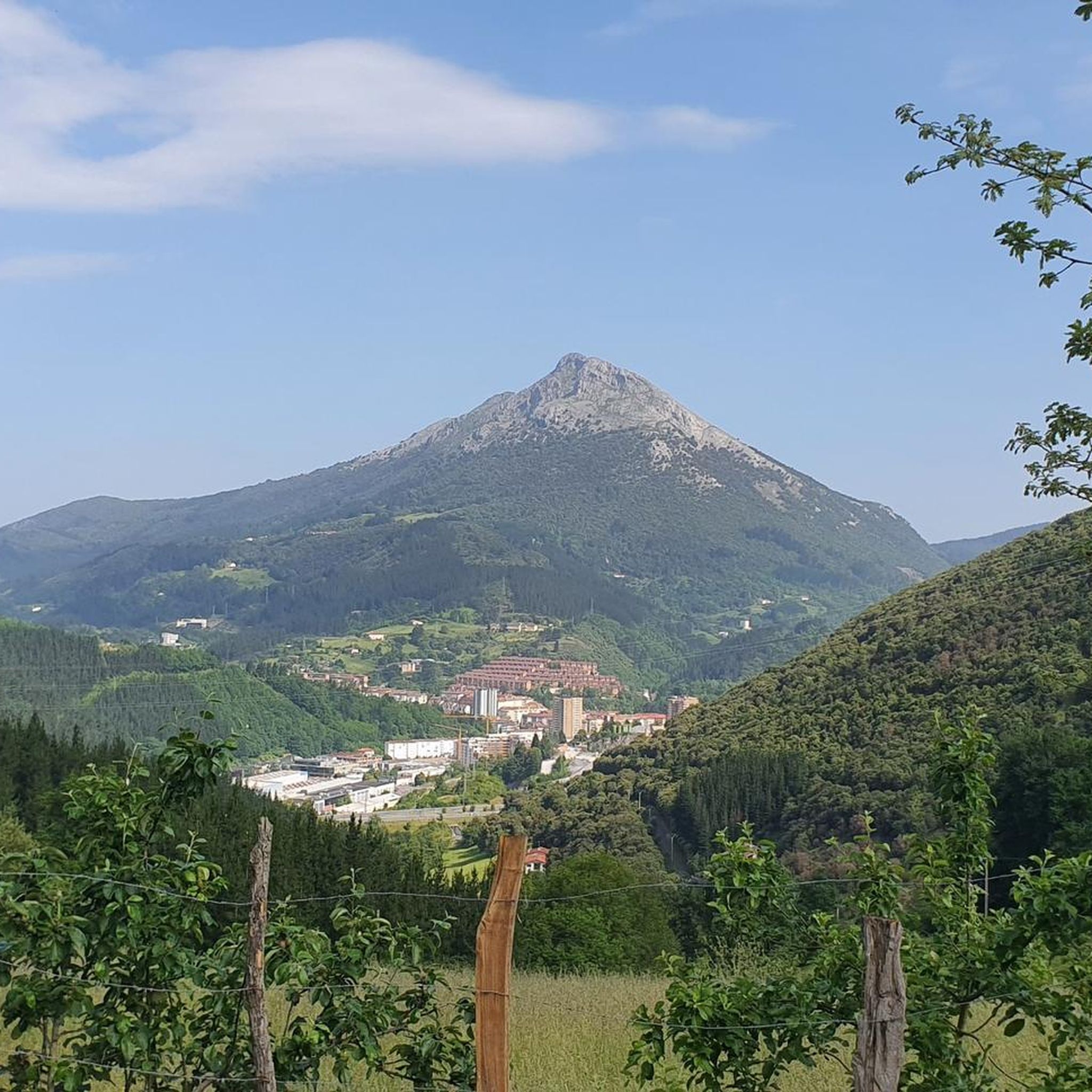
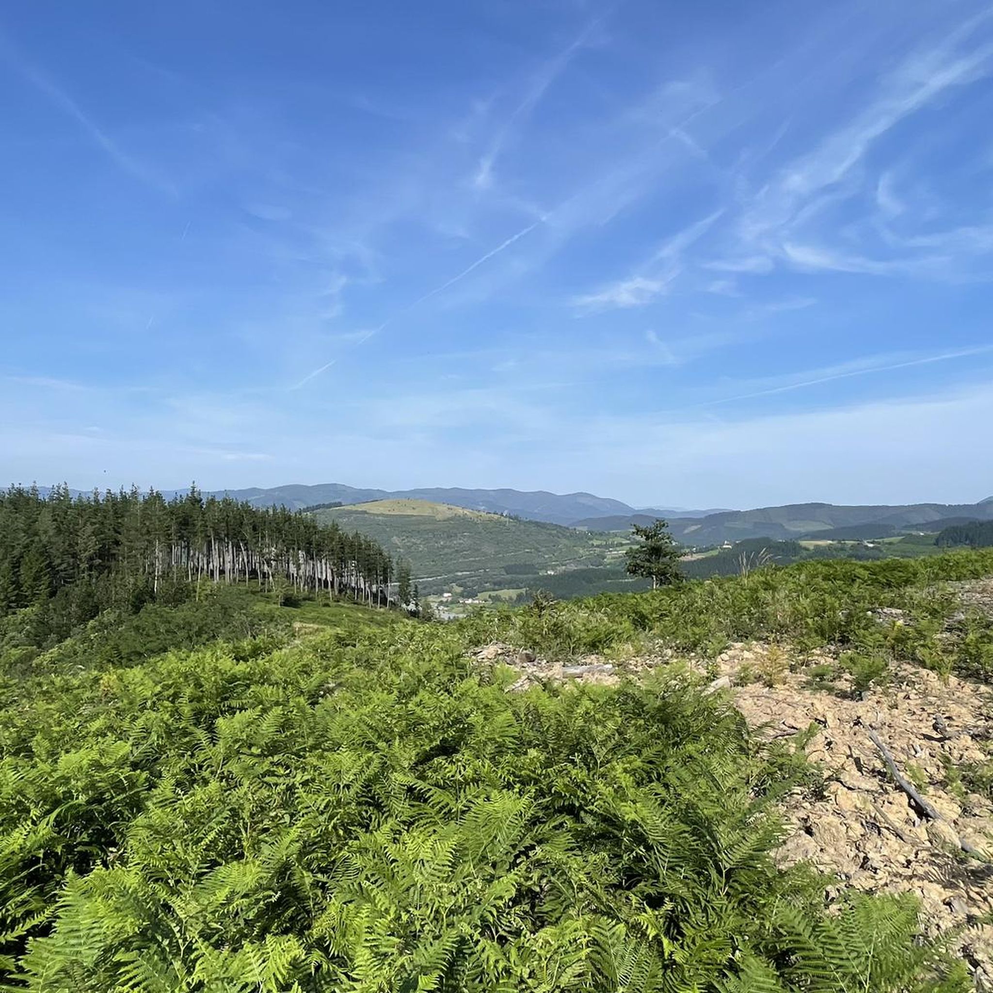
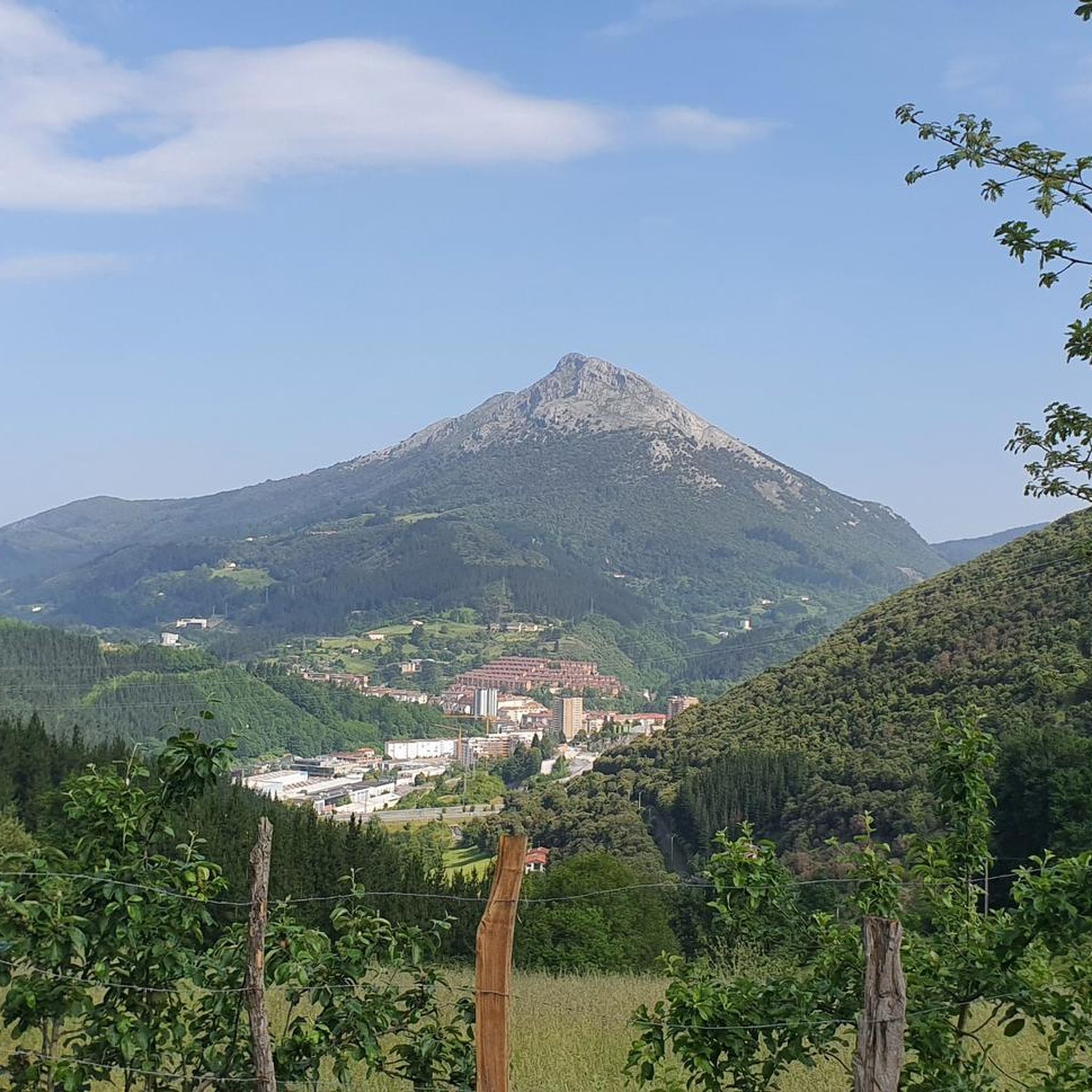
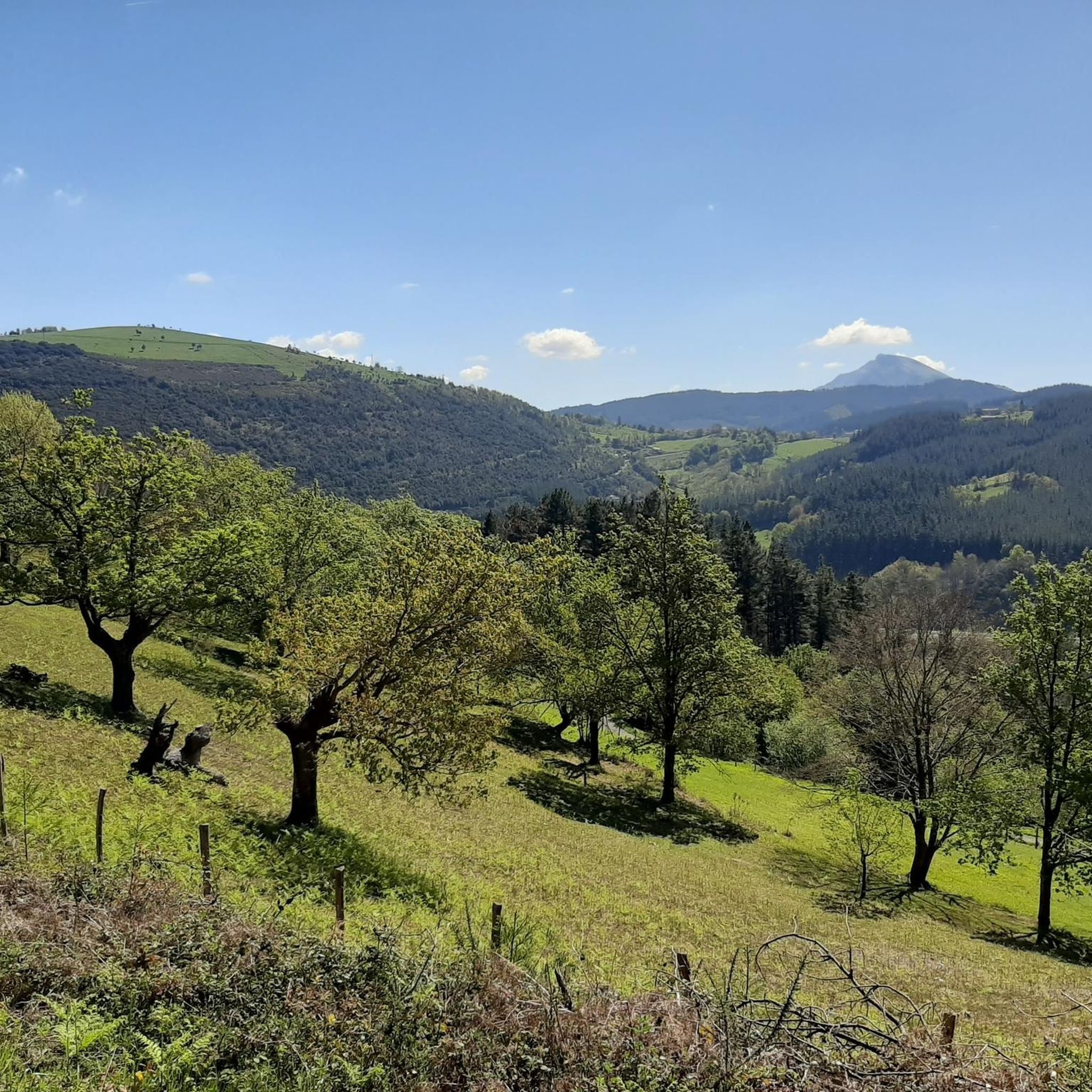

Other adventures around Arrasate / Mondragón

Tips from the Community


It's one of those places that impresses you, and the climb is a delight.
0
0
One of Gipuzkoa's iconic mountains. And no wonder. I'd never done it before, and I loved it.
4
0

If you climb from Araotz, follow the PR, and the climb is very easy and short. From the cave parking lot, it's much steeper and zigzags. About 2.5 or 3 km with a lot of elevation gain.
2
1
The Alluitz's younger brother, on the other side of the Artola pass. It's also demanding and should be avoided on wet terrain.
1
0
I loved this mountain, but it's incredibly tough on one hand, and somewhat dangerous on the other. Not so much from falling, but from slipping on the smooth rock, especially in the quarry area, on the north side.
3
1
The moment of decision: Alluitz or Axtxiki? Or first one and then the other?
2
0
Frequently Asked Questions
How many mountaineering routes are available around Arrasate / Mondragón?
There are 10 distinct mountaineering routes documented around Arrasate / Mondragón on komoot. These routes offer a range of challenges, primarily catering to experienced mountaineers.
Are there any easy mountaineering routes for beginners in Arrasate / Mondragón?
The mountaineering routes around Arrasate / Mondragón are generally quite challenging. There are no routes classified as 'easy' in this guide. However, there are 4 routes rated as 'moderate', which might be suitable for those with some experience looking for a less demanding ascent compared to the 'difficult' options. One such moderate route is the Orkatzategi Peak (869 m) – Eye of Aitzulo loop from Araotz-Elizate.
What kind of terrain can I expect on these mountaineering routes?
The routes around Arrasate / Mondragón are characterized by the rugged peaks and limestone formations typical of the Basque Country. You can expect varied terrain, including rocky ascents, exposed ridges, and forested sections, often with significant elevation gains.
Are there any circular mountaineering routes in the area?
Yes, many of the mountaineering routes around Arrasate / Mondragón are designed as loops. For example, the popular Anboto (1,331 m) – Anboto Summit loop from Anboto and the Udalatx ekialdeko punta – Udalaitz loop from Udala are both circular, allowing you to start and end at the same point.
What are some notable landmarks or attractions I might see while mountaineering?
The region offers several interesting sights. You might encounter the distinctive Eye of Aitzulo on some routes, or pass by significant summits like Anboto (1,331 m). The Urkiola Sanctuary and Arantzazu Sanctuary are also prominent cultural landmarks in the wider area.
What is the typical elevation gain on these routes?
Mountaineering routes in Arrasate / Mondragón feature significant elevation gains. For instance, the Anboto (1,331 m) – Anboto Summit loop from Anboto involves over 1000 meters of ascent, while the Alluitz (1034m) – Larrano Refuge loop from Untzillatx also has an elevation gain exceeding 1000 meters.
Are there any routes that pass by mountain passes?
Yes, the mountainous terrain means you'll encounter several passes. While specific routes in this guide might not explicitly list them, the region is home to passes like Alto de Karabieta, Artola Pass, and Lezeaga Pass, which are integral to navigating the landscape.
What do other mountaineers say about the routes in Arrasate / Mondragón?
The routes in Arrasate / Mondragón are highly rated by the komoot community, with an average score of 5.0 stars from 7 reviews. Mountaineers often praise the challenging ascents, the stunning panoramic views from the summits, and the rugged, unspoiled nature of the Basque mountains.
Is it possible to find cafes or pubs near the mountaineering routes?
While the routes themselves are often in remote mountain areas, you can typically find amenities in the villages and towns at the trailheads or nearby, such as Udala or Anboto. It's always a good idea to plan your refreshment stops in advance, especially after a long day on the trails.
What is the best time of year for mountaineering in Arrasate / Mondragón?
The best time for mountaineering in this region is generally from late spring to early autumn (May to October) when the weather is more stable and temperatures are milder. However, conditions can change rapidly in the mountains, so always check the local forecast before heading out. Winter mountaineering is possible but requires specialized equipment and experience due to snow and ice.
Are there any less-known or 'hidden gem' routes for mountaineering?
While the guide highlights popular and challenging routes, exploring the broader network around peaks like Udalaitz offers opportunities to discover less-trafficked paths. The Udalaitz – Besaide loop from Udala, for instance, leads through varied mountainous terrain and past the Besaide monument, offering a rewarding experience away from the most crowded trails.
Most popular routes around Arrasate / Mondragón
Most popular attractions around Arrasate / Mondragón

Get inspired with the komoot mobile app


Explore more
Browse the best Mountain Hikes & Routes in other regions.
