The best running trails around Parc Natural de la Zona Volcànica de la Garrotxa
4.0
(32)
3,127
runners
254
runs
Jogging around Parc Natural de la Zona Volcànica de la Garrotxa offers routes through a unique volcanic landscape. The region is characterized by approximately 40 volcanic cones and over 20 basaltic lava flows, providing varied terrain for running. Trails often traverse ancient lava fields and lead through lush areas like the Fageda d'en Jordà beech forest. The elevation changes across the park range from gentle paths to more challenging ascents around volcanic formations.
Best jogging routes around Parc Natural de…
Last updated: August 8, 2026
107
runners
22.1km
02:19
150m
150m
Hard run. Very good fitness required. Mostly paved surfaces. Suitable for all skill levels.
31
runners
14.2km
01:59
580m
580m
Hard run. Very good fitness required. Mostly paved surfaces. Suitable for all skill levels.

Sign up for free
24
runners
11.9km
01:35
360m
360m
Hard run. Very good fitness required. Mostly paved surfaces. Suitable for all skill levels.
13
runners
8.91km
00:56
60m
60m
Moderate run. Good fitness required. Mostly paved surfaces. Suitable for all skill levels.
10
runners
17.3km
02:14
480m
480m
Hard run. Very good fitness required. Mostly paved surfaces. Suitable for all skill levels.
Get access to more routes and recommendations from other explorers.
Sign up for free
Already have an account?
Our route recommendations are based on thousands of hikes, rides, and runs completed by other people on komoot.
Start today with a free account
Your next adventure awaits.
Login or Signup
Popular around Parc Natural de la Zona Volcànica de la Garrotxa
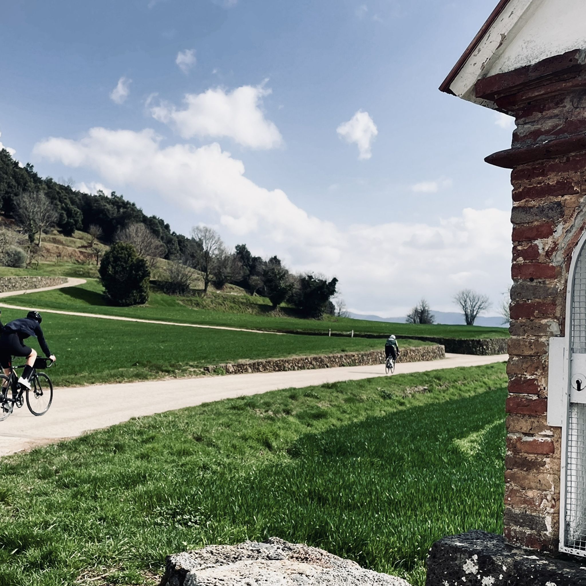
Road Cycling Routes around Parc Natural de la Zona Volcànica de la Garrotxa
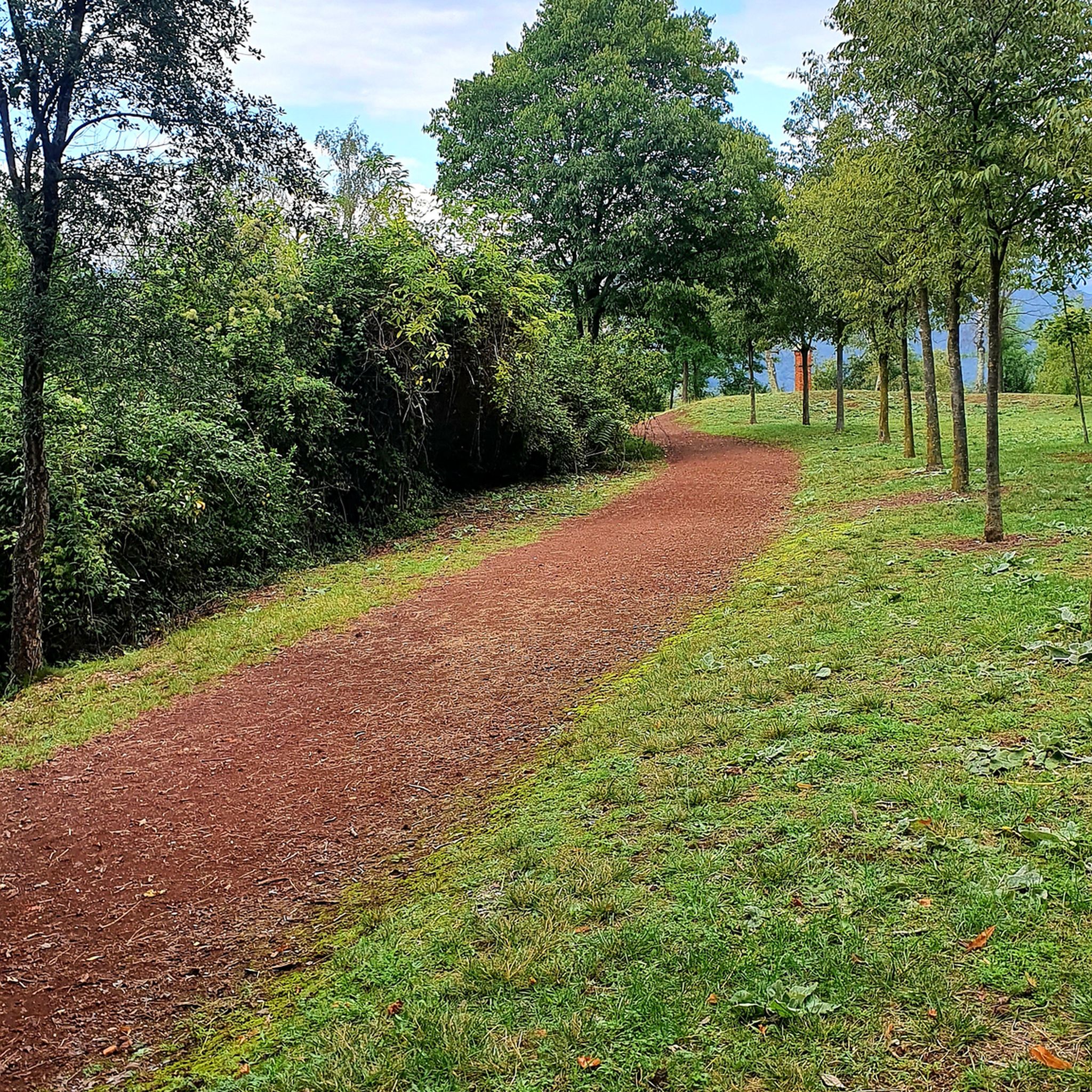
Cycling around Parc Natural de la Zona Volcànica de la Garrotxa

Gravel biking around Parc Natural de la Zona Volcànica de la Garrotxa
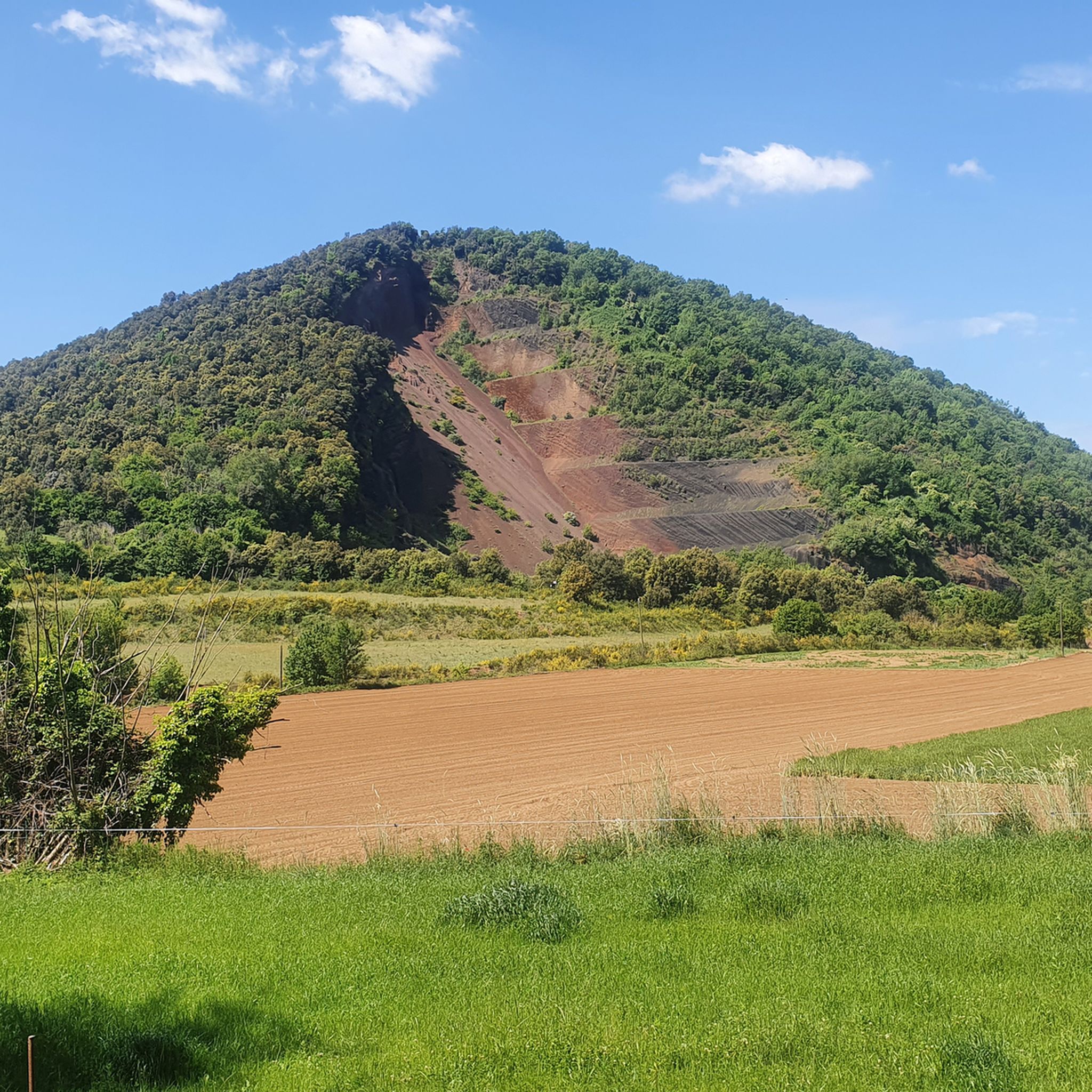
MTB Trails around Parc Natural de la Zona Volcànica de la Garrotxa
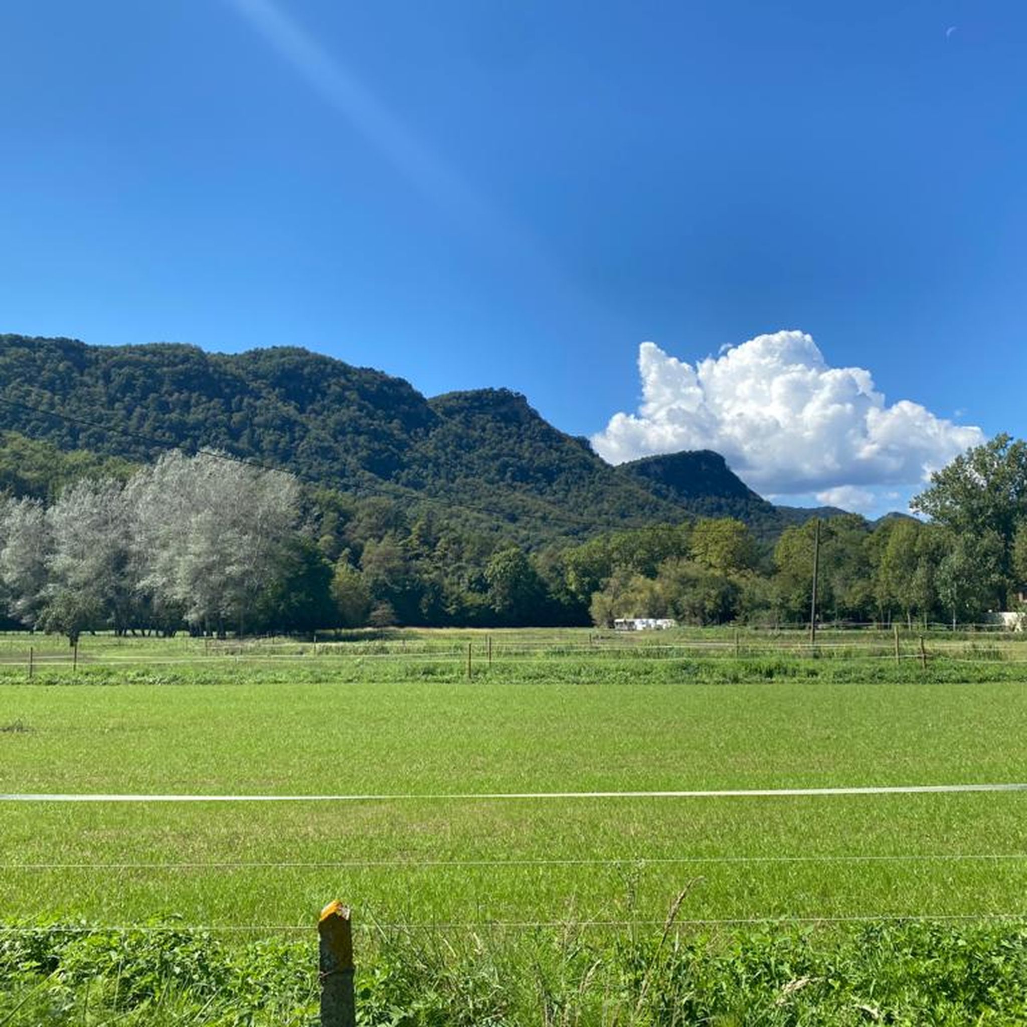
Hiking around Parc Natural de la Zona Volcànica de la Garrotxa
Tips from the Community

Lovely small town up in the mountains above Girona. This is where the Ruta del Carrilet starts
0
0

There is a nice trail that goes from the church of Sant Cosme to Bejudà. This is not that trail but a trail that connects to it. I have not tried this trail and it does not really show up on the map so it might no longer exist but there are signs here pointing it out and it looked like a nice trail from this point.
0
0
This turn is pretty easy to miss. The sign is clear enough but the beginning of the trail does not always look like a trail at all. In the summer it can be very overgrown and hard to spot. Once you are in the forest you know you are on the right trail due to the yellow marks on trees and rocks.
0
0
Here the trail splits. There is a small wooden sign point telling you that the trail to the right if going down continues on to Olot. Soon after this split you will come the ruins of an old house or building. This trail is really nice.
0
0
From this spot you have a very nice view of this lovely horse farm and the Pyrenees in the distance. The Camí Ral de Batet passes right through here.
0
0
This old house seems abandoned but in pretty good shape. There is a trail with green and white marks that goes past this and continues straight down to the a large factory below. I would avoid this lower part of the trail because it is not in good shape and even could be dangerous. Take the small road that leads to the Ca l'Ocell, it is easy to follow and connect to the same place just a little farther up the road.
0
0

Located halfway between Olot and Banyoles, this source is a perfect place to stop on the way, refresh yourself, rest, fill up your water bottles and continue on your way.
0
0
Frequently Asked Questions
What kind of terrain can I expect when running in Parc Natural de la Zona Volcànica de la Garrotxa?
The park offers a unique volcanic landscape with varied terrain. You'll find paths traversing ancient basaltic lava flows, trails winding through lush areas like the Fageda d'en Jordà beech forest, and ascents around volcanic cones such as Montsacopa. The routes range from relatively flat sections to more challenging climbs with significant elevation gain.
Are there running routes suitable for beginners or those looking for an easier run?
Yes, the park provides options for various fitness levels. While many routes involve elevation, there are easier paths available. For a moderate option, consider the Sant Roc Hermitage – Olot loop from Olot, which covers about 8.9 miles (14.3 km) with less elevation change compared to other routes.
Can I find challenging running trails in the Garrotxa Volcanic Zone Natural Park?
Absolutely. The region is well-suited for experienced runners seeking a challenge. Routes like the Montsacopa Volcano loop from Olot offer significant elevation gain over 8.9 miles (14.3 km), providing a demanding workout with rewarding views of the volcanic landscape and Olot.
Are there any circular running routes available?
Many of the running routes in the park are circular, allowing you to start and finish at the same point. A popular option is the Plaça Clarà – Plaça Rector Ferrer loop from Olot, which is a longer 13.7-mile (22.1 km) trail offering a comprehensive exploration of the area.
What are some scenic highlights or landmarks I can see while jogging?
The park is rich in natural and historical sights. You can run past impressive volcanic cones like Santa Margarida (with its chapel inside the crater) and Croscat, or through the enchanting Fageda d'en Jordà beech forest. Additionally, routes often pass by picturesque medieval villages such as Santa Pau and Castellfollit de la Roca, which is dramatically perched on basalt cliffs.
Are the running trails in Parc Natural de la Zona Volcànica de la Garrotxa suitable for families?
Yes, there are routes that families can enjoy together, depending on the children's age and fitness levels. The park offers a range of trail difficulties, so it's best to choose shorter, less elevated paths for family outings. The Fageda d'en Jordà, with its shaded and relatively flat trails, is often a good choice for a pleasant family run or walk.
Are dogs allowed on the running routes in the park?
Generally, dogs are welcome in the Parc Natural de la Zona Volcànica de la Garrotxa, but they must be kept on a leash to protect wildlife and ensure the safety of other visitors. Always check specific trail regulations, especially in more sensitive natural areas or around livestock.
What is the best time of year to go running in the Garrotxa Volcanic Zone?
Spring and autumn are generally considered the best times for running in the Garrotxa Volcanic Zone. The temperatures are milder, and the natural scenery is particularly vibrant, with lush greenery in spring and stunning foliage in autumn. Summer can be warm, but the shaded trails of the Fageda d'en Jordà offer a cooler option. Winter running is also possible, though some higher elevation paths might be colder.
How many running routes are available in the Parc Natural de la Zona Volcànica de la Garrotxa?
There are over 200 running routes documented in the Parc Natural de la Zona Volcànica de la Garrotxa on komoot, offering a wide variety of distances and difficulty levels. This includes 6 easy, 131 moderate, and 91 difficult routes, ensuring options for every runner.
What do other runners say about the trails in this region?
The running routes in Parc Natural de la Zona Volcànica de la Garrotxa are highly rated by the komoot community, with an average score of 4.25 stars from over 20 reviews. Runners often praise the unique volcanic landscapes, the well-maintained paths, and the diverse natural features, from ancient lava flows to the enchanting beech forest.
Are there any running routes that pass through the Fageda d'en Jordà beech forest?
Yes, several routes traverse the Fageda d'en Jordà, an iconic beech forest growing on an ancient lava flow. This area provides a particularly enchanting and shaded environment for running, especially during warmer months. While not explicitly listed in the top routes, many local trails incorporate sections of this unique forest.
Can I access running trails using public transport?
The main towns within and around the park, such as Olot, have public transport connections. Many running routes start directly from these towns, making them accessible without a car. For example, the Font de les Tries – Font Faja loop from Olot is easily reachable if you're staying in or arriving by public transport to Olot.
Most popular routes around Parc Natural de la Zona Volcànica de la Garrotxa

Get inspired with the komoot mobile app


Explore more
Browse the best Running Trails & Routes in other regions.
