The best walks and hikes around Alonsotegi
4.4
(214)
1,390
hikers
26
hikes
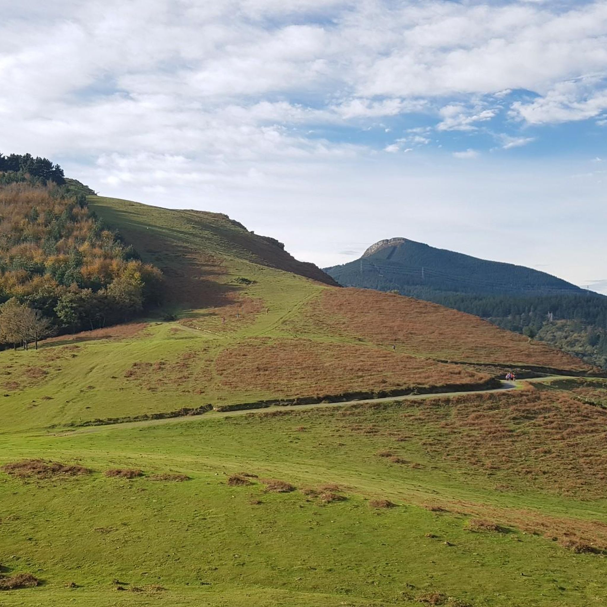
Hiking around Alonsotegi offers access to a diverse natural landscape characterized by mountainous terrain and river corridors. The municipality is situated amidst prominent ranges such as Ganekogorta (998 meters), Pagasarri (673 meters), and Sierra Sasiburu (up to 500 meters), providing varied elevations and panoramic views. The Cadagua River flows through the area, contributing to its natural beauty, while ecosystems include oak groves, beech forests, and expansive meadows. The region's altitude ranges from 50 to 1,000 meters above sea level, creating…
Last updated: August 17, 2026
4.7
(14)
32
hikers
8.70km
03:00
420m
430m
Moderate hike. Good fitness required. Mostly accessible paths. Sure-footedness required.
1
hikers
11.2km
04:00
640m
640m
Moderate hike. Good fitness required. Mostly accessible paths. Sure-footedness required.

Sign up for free
2
hikers
Hard hike. Very good fitness required. Mostly accessible paths. Sure-footedness required.
4.7
(3)
28
hikers
15.2km
04:54
650m
650m
Moderate hike. Good fitness required. Mostly accessible paths. Sure-footedness required.
3.7
(3)
26
hikers
14.5km
04:47
670m
670m
Moderate hike. Good fitness required. Easily-accessible paths. Suitable for all skill levels.
Get access to more routes and recommendations from other explorers.
Sign up for free
Already have an account?
Our route recommendations are based on thousands of hikes, rides, and runs completed by other people on komoot.
Start today with a free account
Your next adventure awaits.
Login or Signup


Other adventures around Alonsotegi

Tips from the Community

Very beautiful place with many waterfalls.
2
0

Impassable route. From the Nocedal dam the path disappears among brambles. There is no way to reach the summit. Shame! The path between Zaramillo and Alonsotegi is also impassable.
0
0

Views of Barakaldo, the estuary and the Cantabrian Sea
0
0

Leaving the town and the small hermitage of Ágata Deuna Baseliza, the path opens up views of the valley as it ascends towards the peaks called Peñas Blancas.
1
0
Incredible stretch of GR228 hiking route from Bilbao to Monte Pagasarri. The trail is well marked and the brave will get a panoramic view of the mountains and valleys below.
1
0
Gongeda at 900 meters above sea level. Spectacular views of the green valleys below and the nearby peaks of Ganekogorta, which is 100m higher.
0
0
The trail reaches the Lingorta Reservoir collecting the waters of the mountain streams to create this incredible scenic landscape.
0
0
Beautiful hiking route that leaves from Azordoiaga Auzoa following the stream, surrounded by pine trees. The trail heads to Zamaia peak and the mines.
0
0
Frequently Asked Questions
How many hiking trails can I find around Alonsotegi?
Based on komoot data, there are over 25 hiking trails available around Alonsotegi, catering to various skill levels. This includes 2 easy routes, 16 moderate routes, and 9 difficult routes, ensuring options for every hiker.
What kind of terrain and difficulty can I expect on hikes in Alonsotegi?
Alonsotegi offers a diverse landscape with mountainous terrain, river corridors, and varied elevations ranging from 50 to 1,000 meters. You'll find trails for all fitness levels, from easily accessible paths to more challenging routes with steep slopes and dramatic scenery. The region is characterized by prominent ranges like Ganekogorta, Pagasarri, and Sierra Sasiburu.
Are there any circular hiking routes in Alonsotegi?
Yes, Alonsotegi features several circular routes that allow you to explore the area's natural beauty. A notable option is the Irauregi-Alonsotegi — circular por la Ruta del Peñas Blancas (PR-BI 101), which offers impressive views of the Kadagua valley.
What historical or natural landmarks can I see while hiking in Alonsotegi?
Hiking in Alonsotegi allows you to discover unique historical and natural features. You can explore the 17th-century Pagasarri's Ice Houses, which were used to store snow, or visit several hermitages like San Antolín de Iráuregui. Natural highlights include the Cadagua River corridor, diverse ecosystems with oak and beech forests, and panoramic views from mountain ranges such as Ganekogorta and Pagasarri.
Are there any specific trails that explore the mining history of the region?
Yes, the Hike from Zaramillo — circular via the Ruta de las Minas and Seles (PR-BI 100.2) follows the slopes of the Ganekogorta mountain range, allowing you to explore old mines, ancient stones, and historical fountains, offering a glimpse into the area's rich mining past.
What do other hikers enjoy most about hiking in Alonsotegi?
The komoot community highly rates the trails in Alonsotegi, with an average score of 4.2 stars from over 190 reviews. Hikers often praise the diverse natural landscape, the panoramic views from the mountains, and the variety of routes available for different skill levels. The combination of rugged mountains, lush forests, and historical landmarks makes for a compelling outdoor experience.
Are there any family-friendly hiking options in Alonsotegi?
Alonsotegi offers a range of trails, including easily accessible paths suitable for families. While specific family-friendly routes are not detailed, the presence of diverse ecosystems, historical sites like hermitages, and the general beauty of the Cadagua River corridor provide engaging elements for all ages. It's recommended to check individual route details for distance and elevation to find the best fit for your family.
What is the best time of year to go hiking in Alonsotegi?
The region's diverse natural landscape makes it suitable for hiking across multiple seasons. Spring and autumn generally offer pleasant temperatures and vibrant scenery with blooming flora or changing leaves. Summer can be warm but is also popular, while winter hiking is possible, especially on lower elevation trails, though conditions may vary on higher peaks.
Can I find trails with impressive viewpoints in Alonsotegi?
Absolutely. The mountainous terrain of Alonsotegi, including ranges like Ganekogorta and Pagasarri, provides numerous opportunities for panoramic views. Trails like the Ruta del Peñas Blancas lead to passes offering impressive vistas of the Kadagua valley and surrounding peaks, including Bilbao.
Are there any specific attractions or points of interest near the hiking trails?
Beyond the trails themselves, you can find several attractions nearby. For instance, the Mount Pagasarri and Ganekogorta Summit offer stunning views. Further afield, but still accessible, are cultural landmarks like the Guggenheim Museum and the Zubizuri Bridge in Bilbao, which can be combined with a hiking trip.
What kind of wildlife might I encounter on the trails in Alonsotegi?
The diverse ecosystems of Alonsotegi, including oak groves, beech forests, and expansive meadows, support a variety of wildlife. Nature enthusiasts might spot animals such as wild boars and roe deer, adding to the natural experience of hiking in the region.
Is Alonsotegi suitable for hikers looking for a challenge?
Yes, Alonsotegi is a prime destination for trekking enthusiasts seeking more challenging routes. The region features several difficult trails, such as the Hike from Zaramillo — circular via the Ruta de las Minas and Seles (PR-BI 100.2), which covers 11 miles with significant elevation gain, requiring good fitness. The steep slopes and varied elevations provide a rewarding challenge for experienced hikers.
Most popular routes around Alonsotegi
Most popular attractions around Alonsotegi

Get inspired with the komoot mobile app


Explore more
Browse the best Hikes in other regions.
